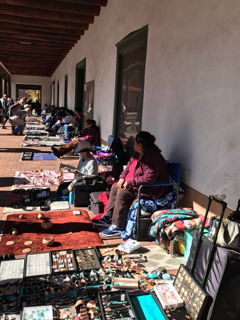
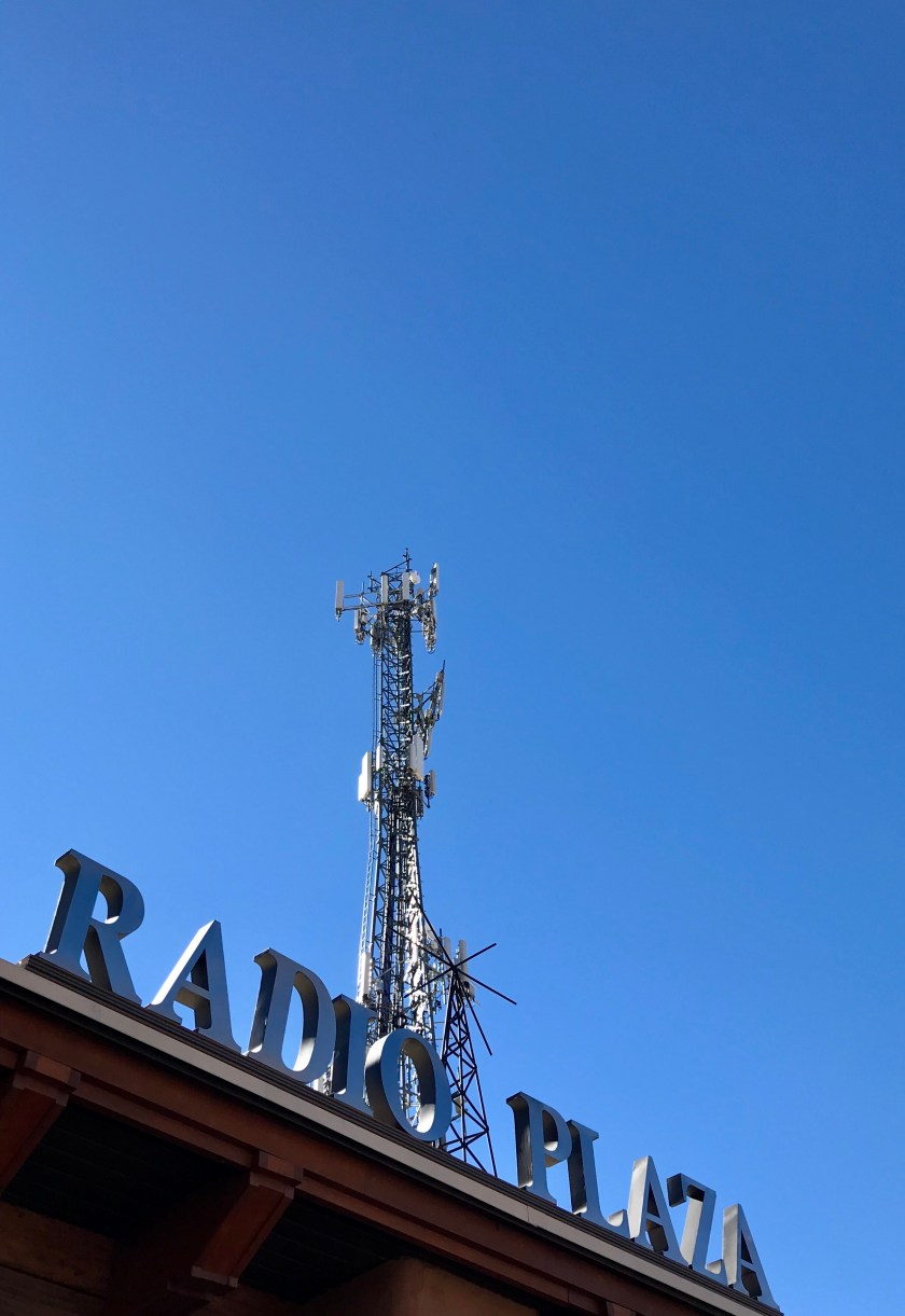
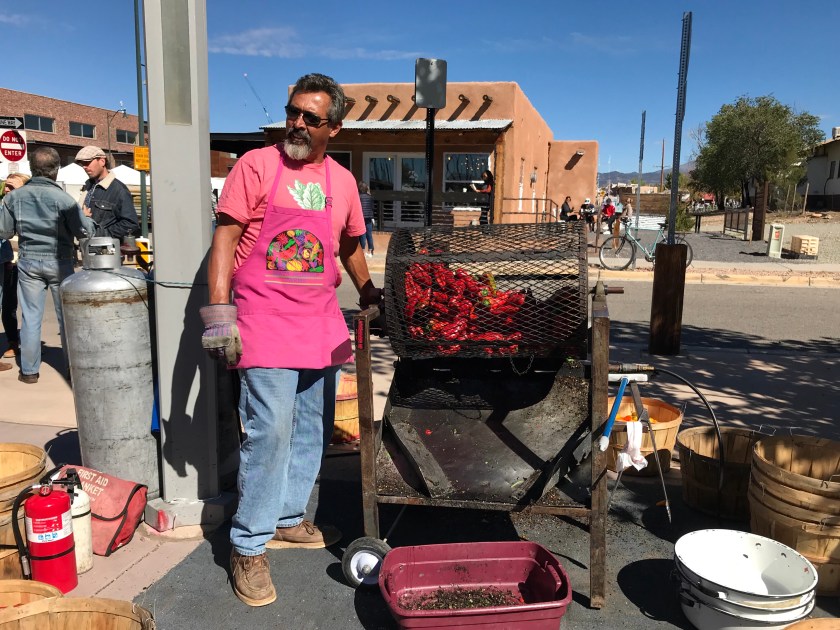
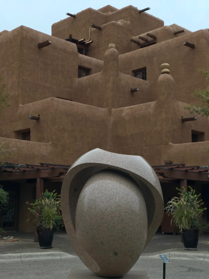
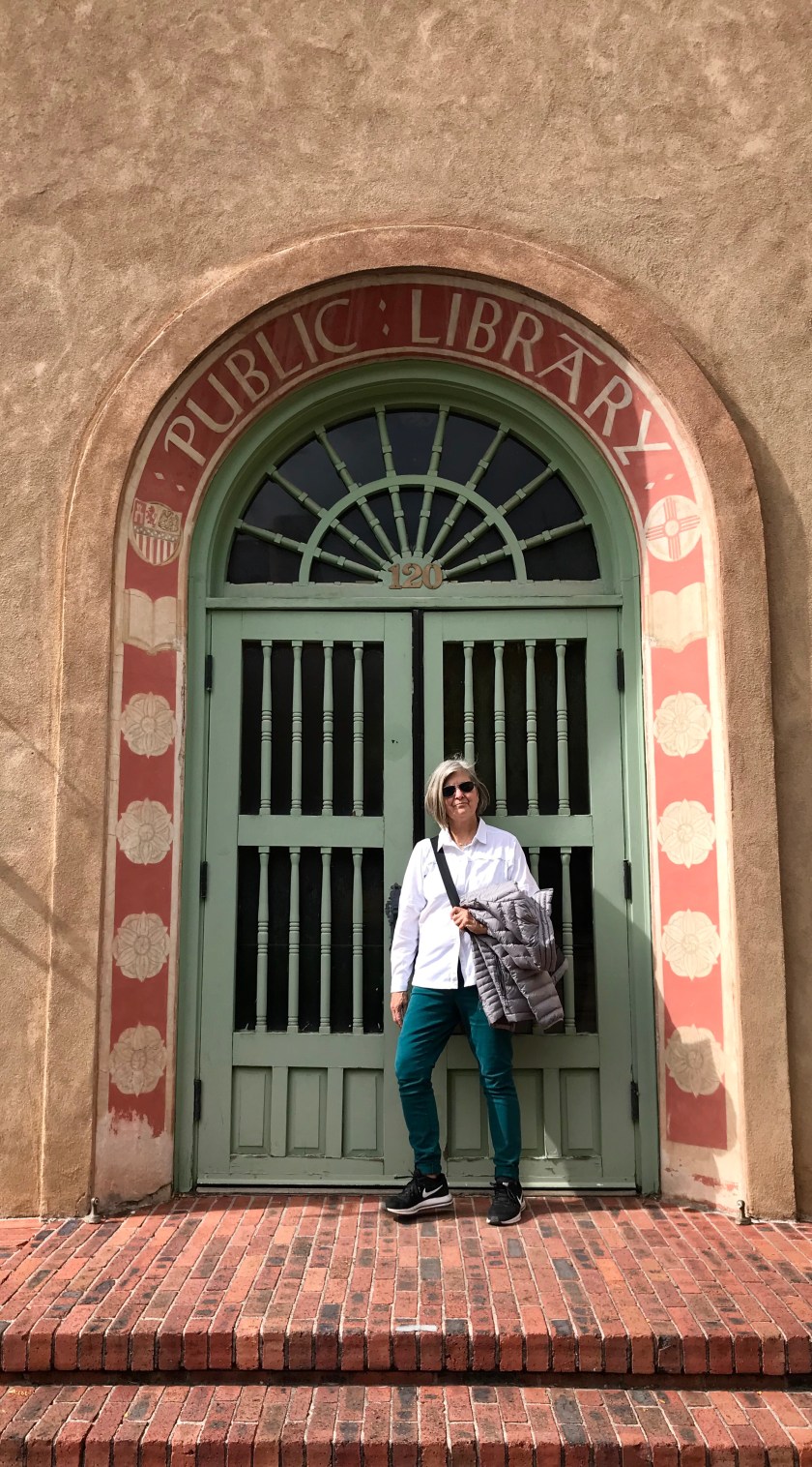
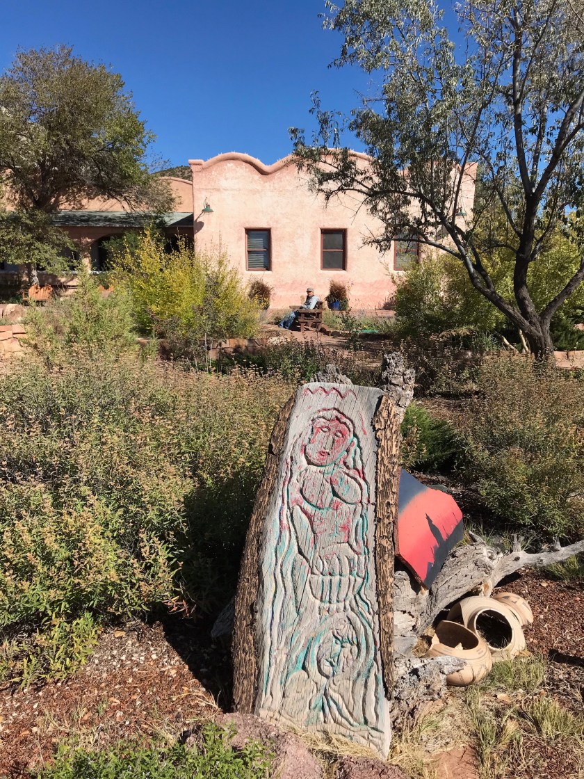
At the heart of Santa Fe is the Plaza. The Plaza serves as a focal point for restaurants, art galleries as well as a curated Indian Market where local indigenous artisans offer their work for purchase. We’ve wandered through this scene often and never stopped- but this trip Pat purchased a pair of silver earrings to replace the ones she lost on this trip.
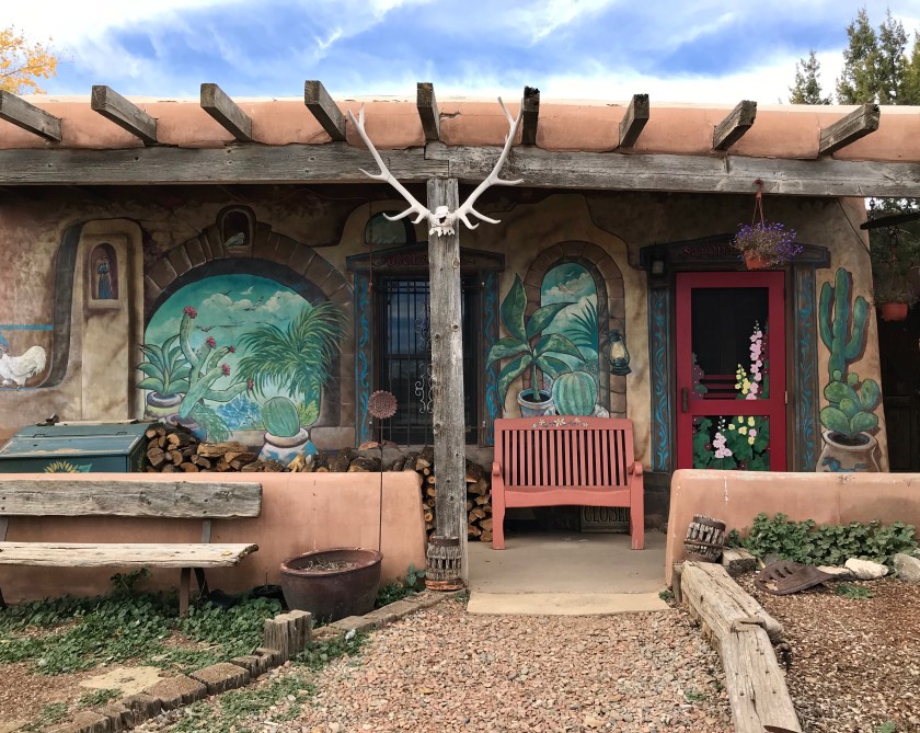 The San Marco Cafe and Feed Store
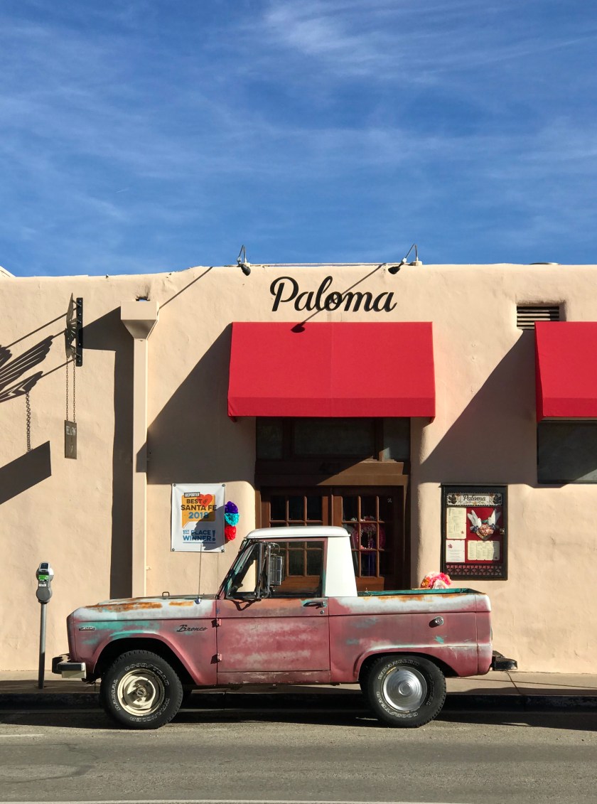
We’ve been checking out new restaurants this trip. We were just walking past Paloma in Guadeloupe St. and decided to check it out. San Marco was recommended by a local and just down the road from our campground. We would recommend both if you find yourself in Santa Fe and in need of a meal.
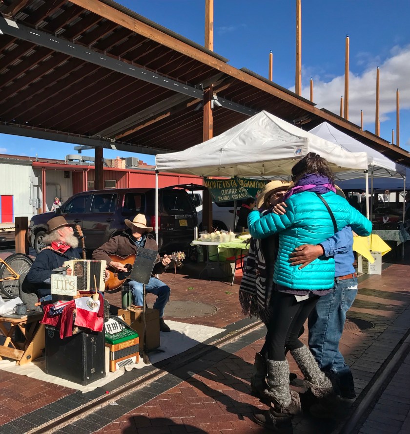
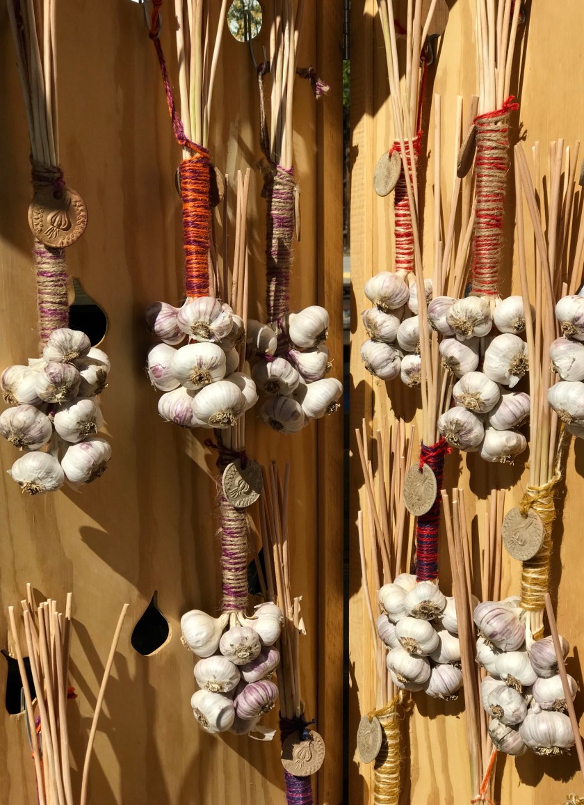
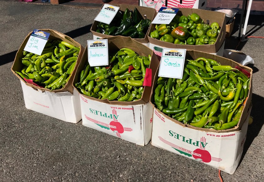
The Farmer’s Market at the Railyard is always an occasion for some spontaneous dancing. This city has such a great vibe.

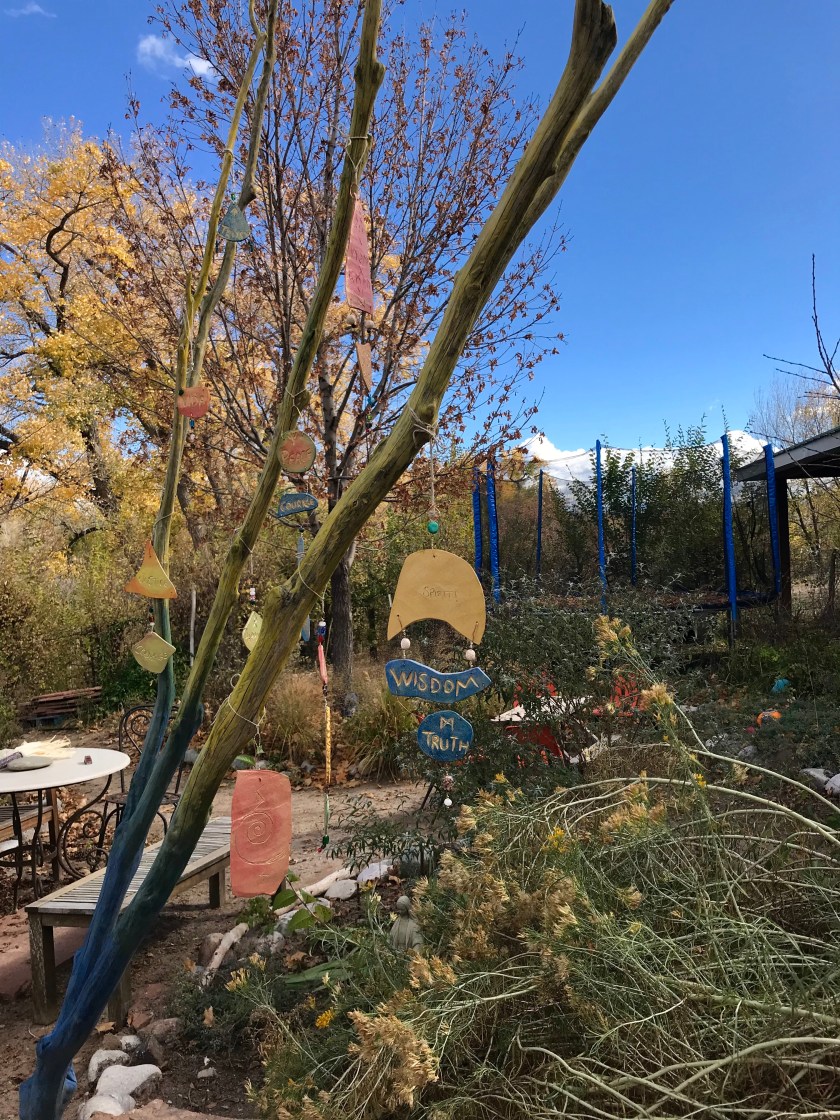
On the first Saturday of November we headed north to the tiny mountain town of Dixon. The town is about halfway between Taos and Santa Fe along the Embudo River and is home to scores of artists. Saturday was the first day of their 37th Open Studio tour.
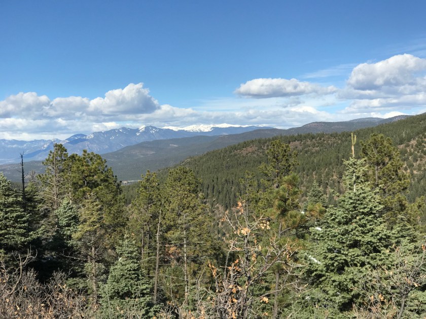
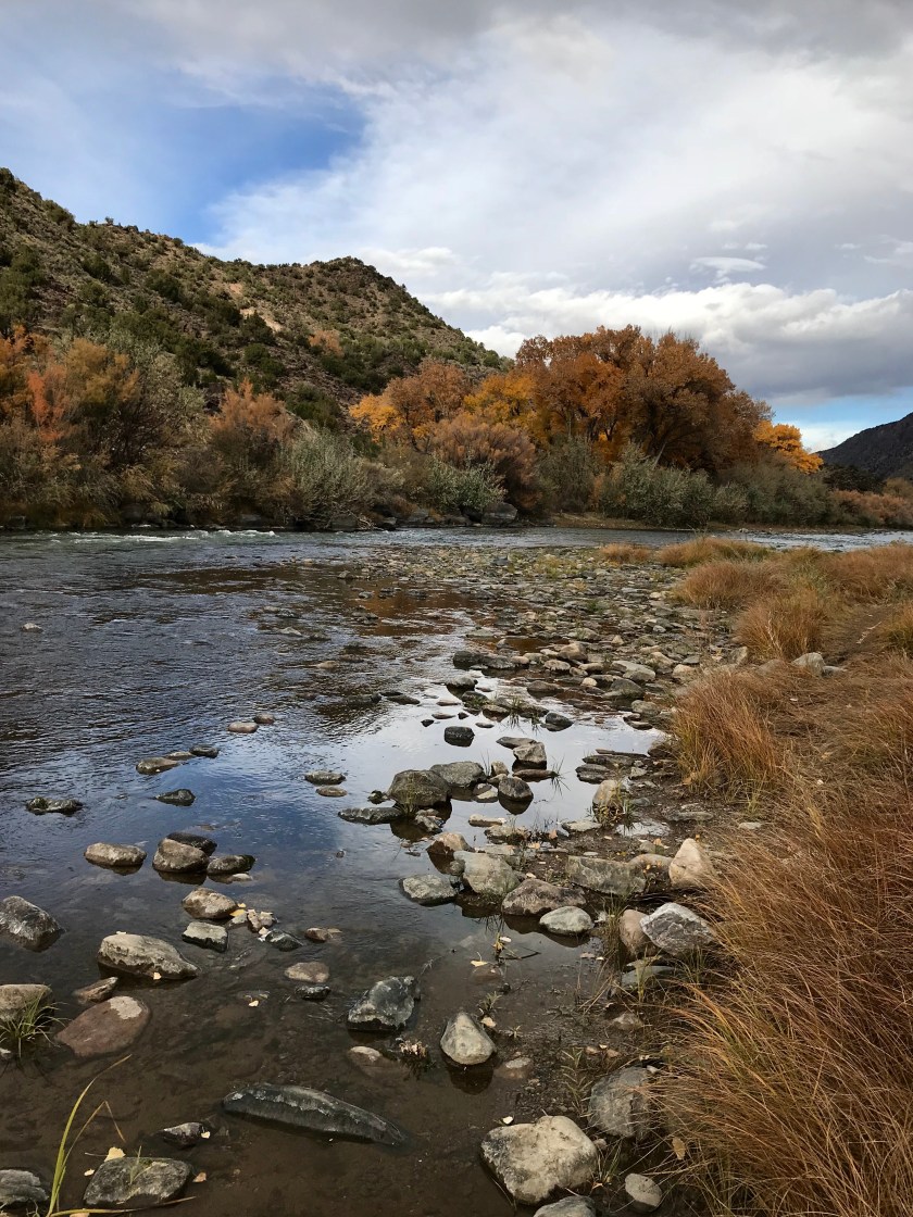
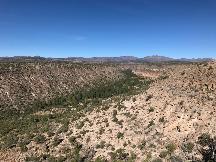
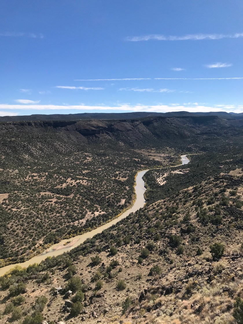
After a few stops on the tour and a delicious lunch at a local church, we continued on the High Road to Taos and as we headed back to Santa Fe, we dropped down into the Rio Grande River Gorge Recreation Area.


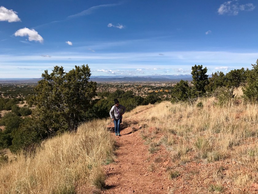
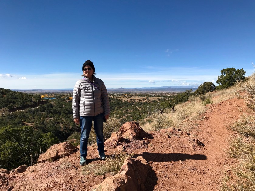
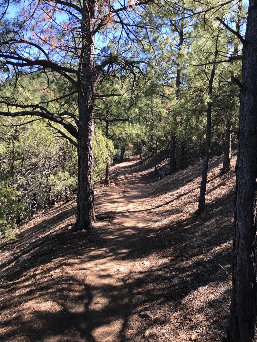
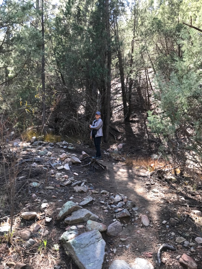
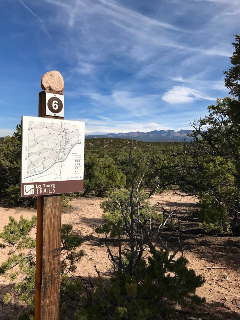
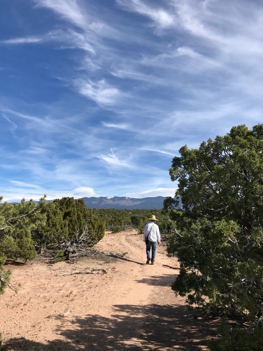
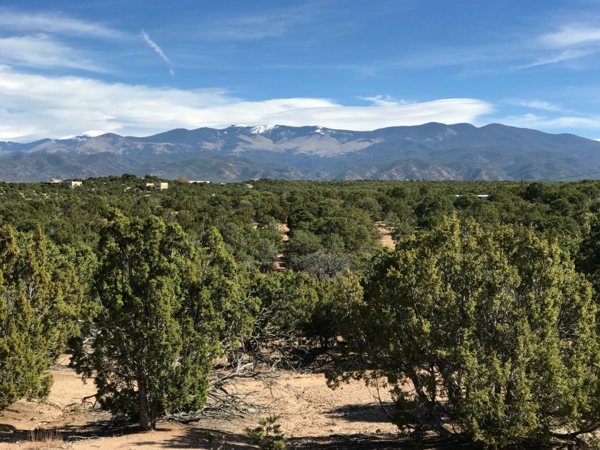
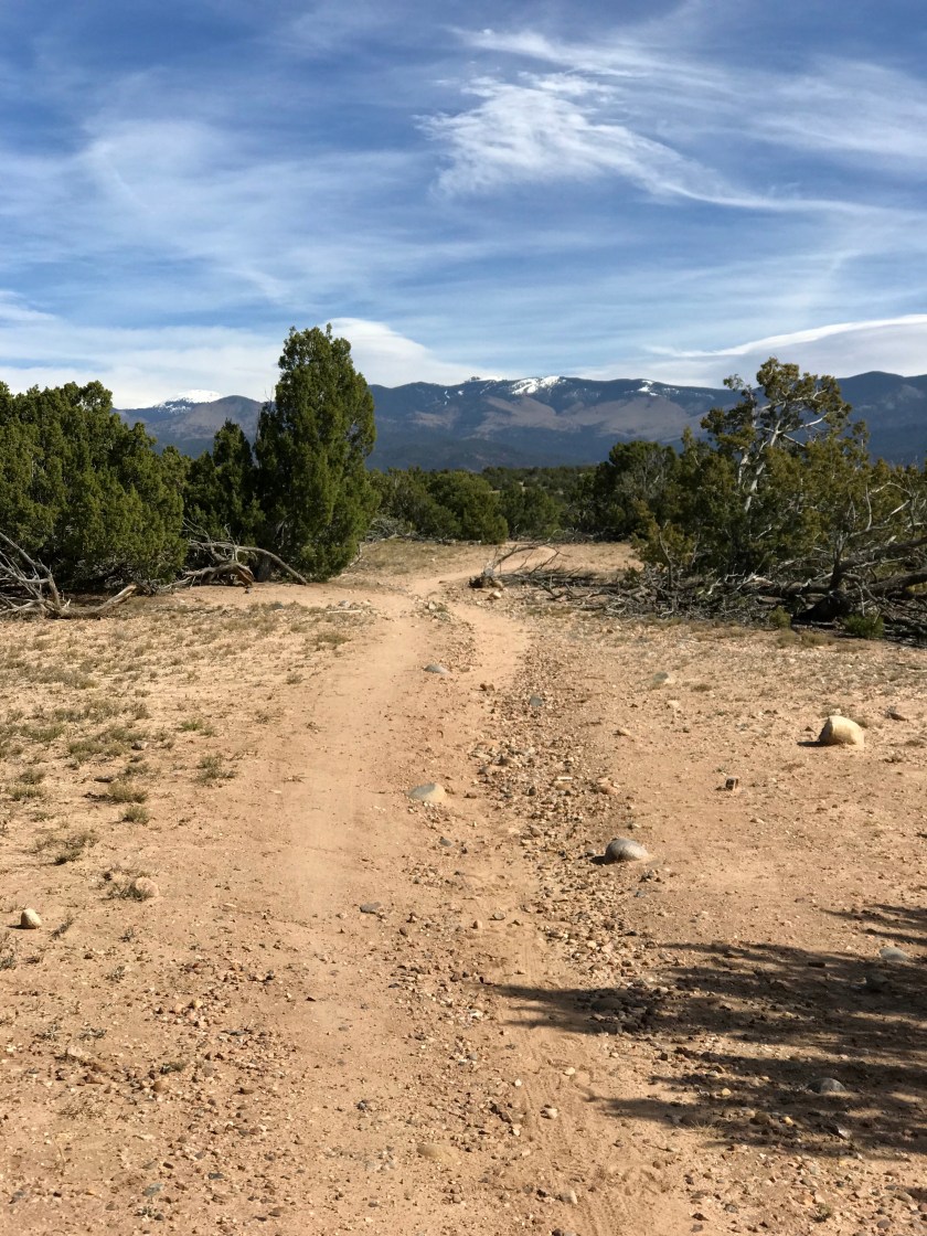
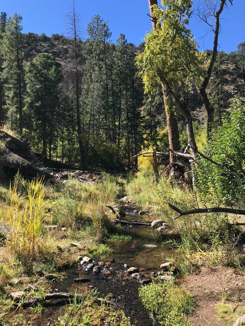
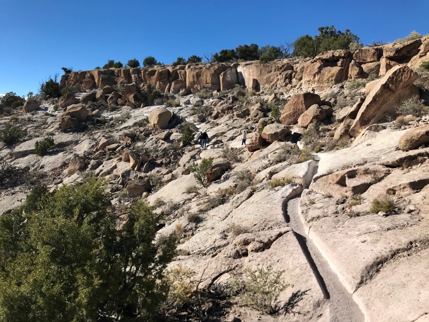
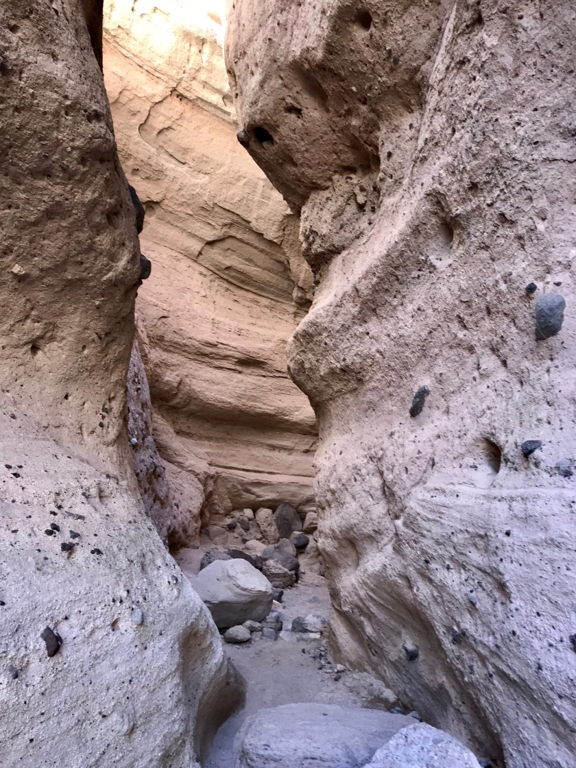
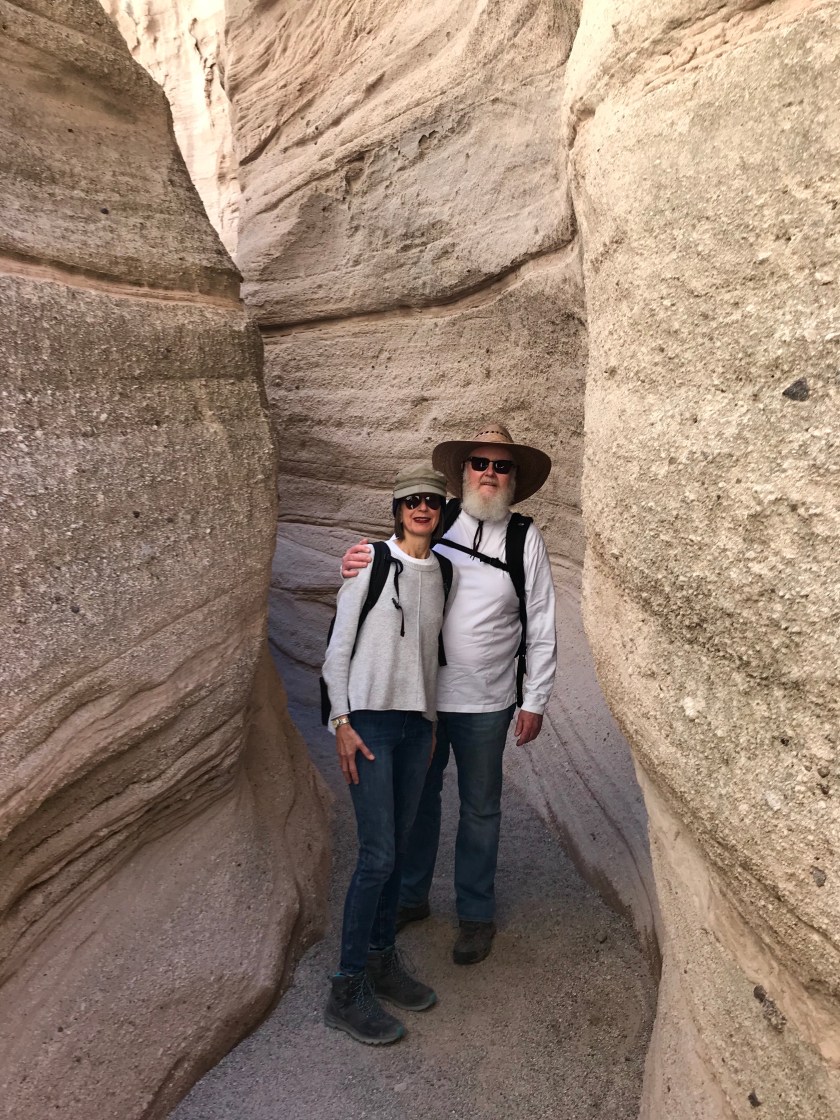
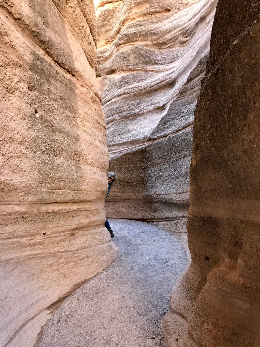
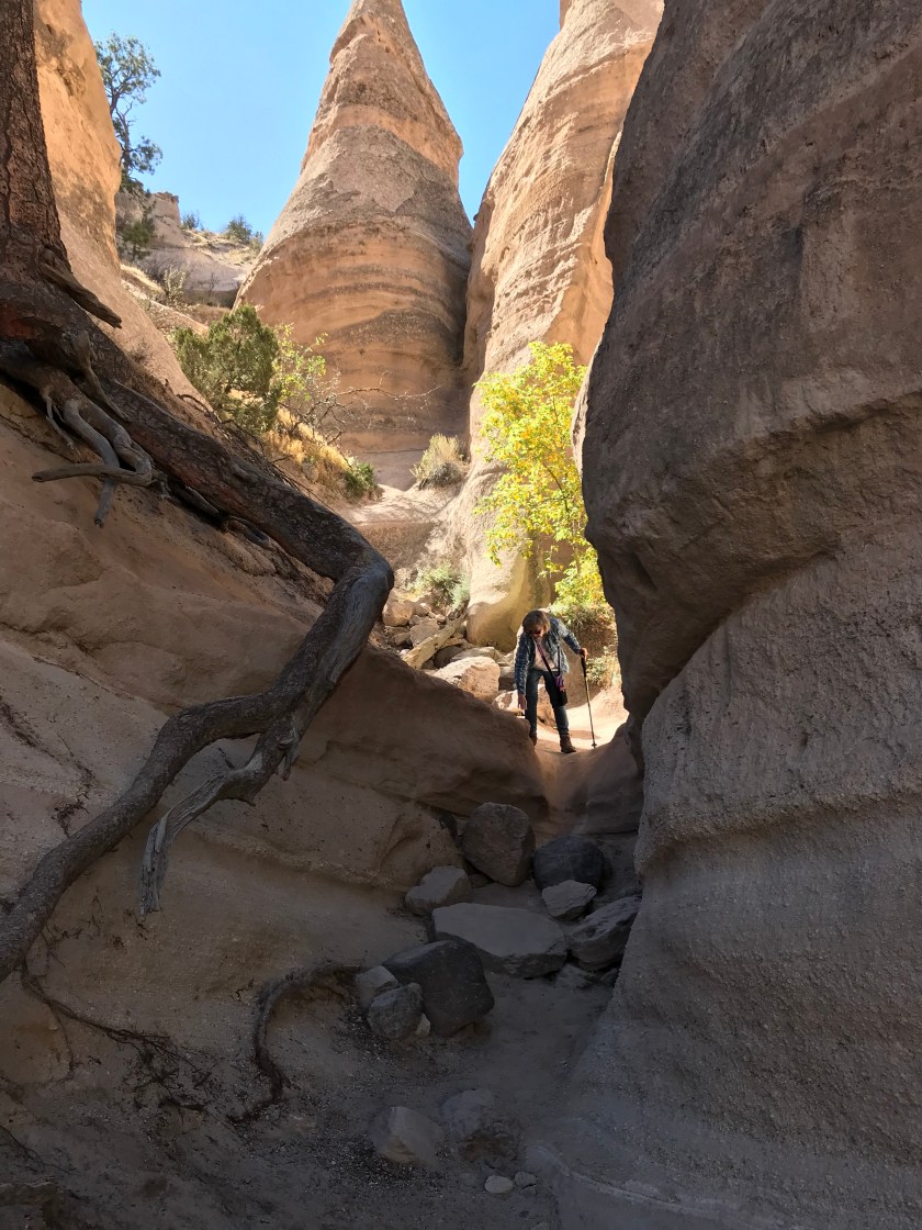
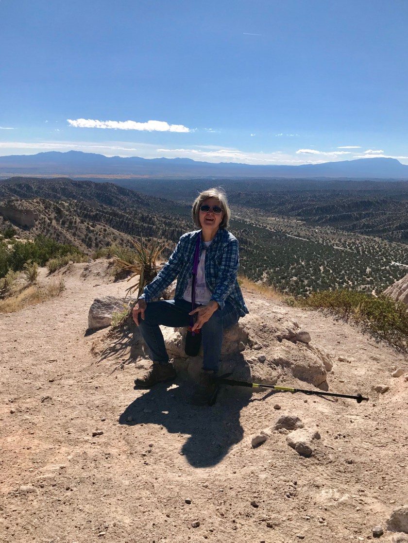
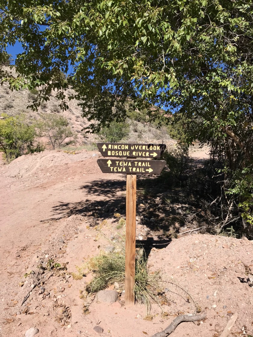
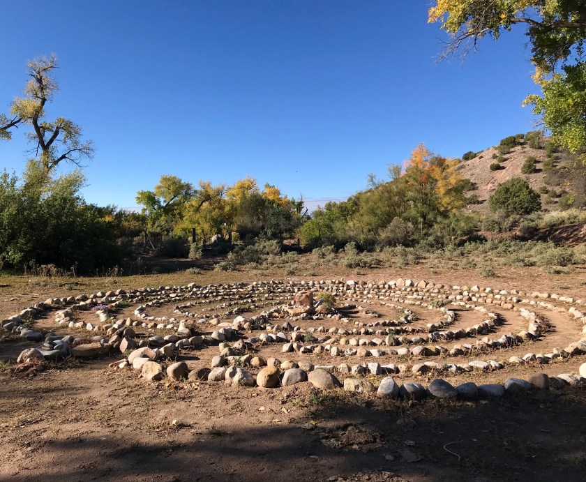
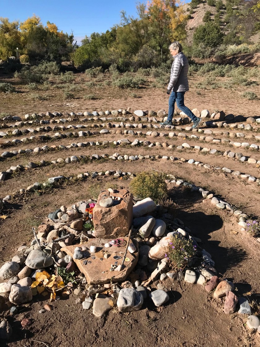
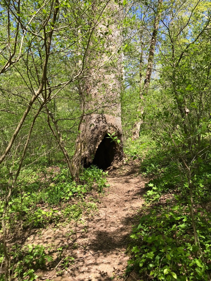
Within the city are a number of open spaces available for exploring. We’ve enjoyed our time rambling through these areas. This week we made our way to Arroyo Honda.

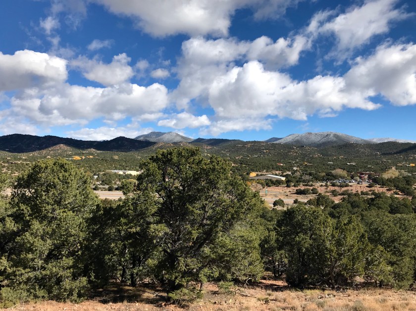
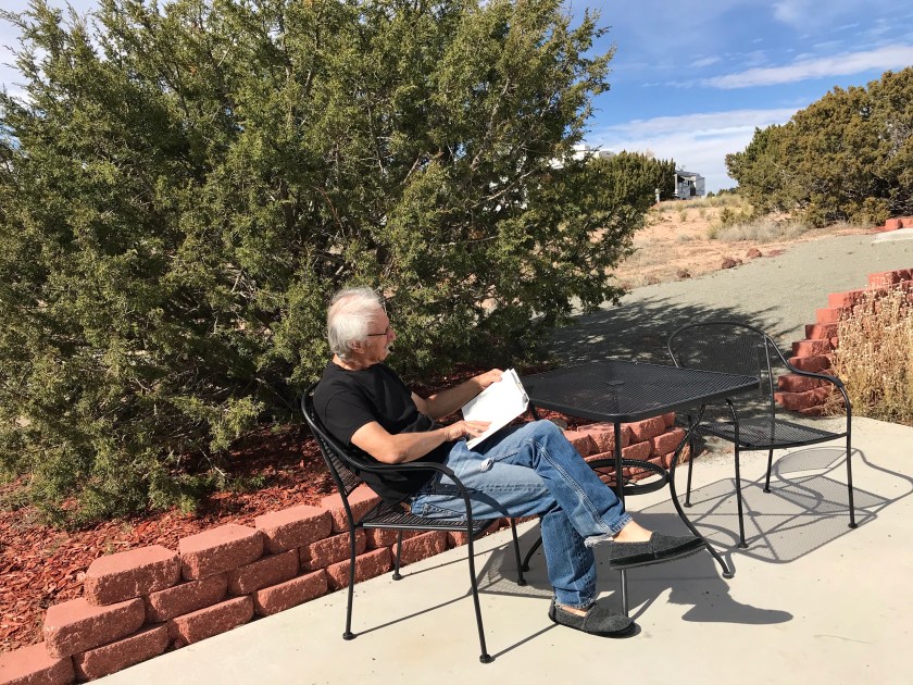
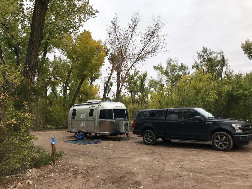
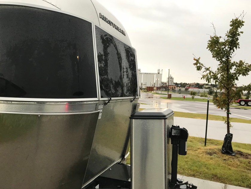
One of the things we like about Santa Fe Skies RV where we park the Tincan when in Santa Fe are the great 360 degree views.
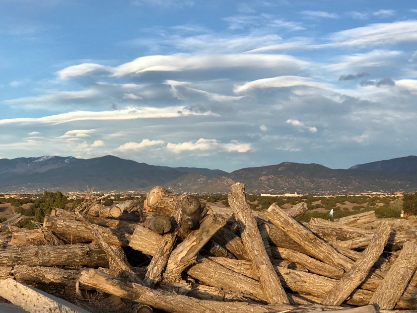
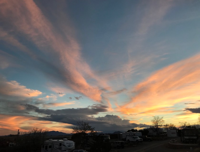
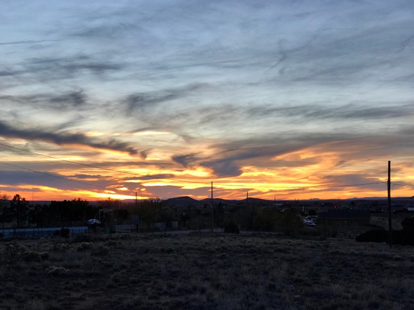
The sunrises aren’t too bad either.

They don’t call it Santa Fe Skies for nothing.


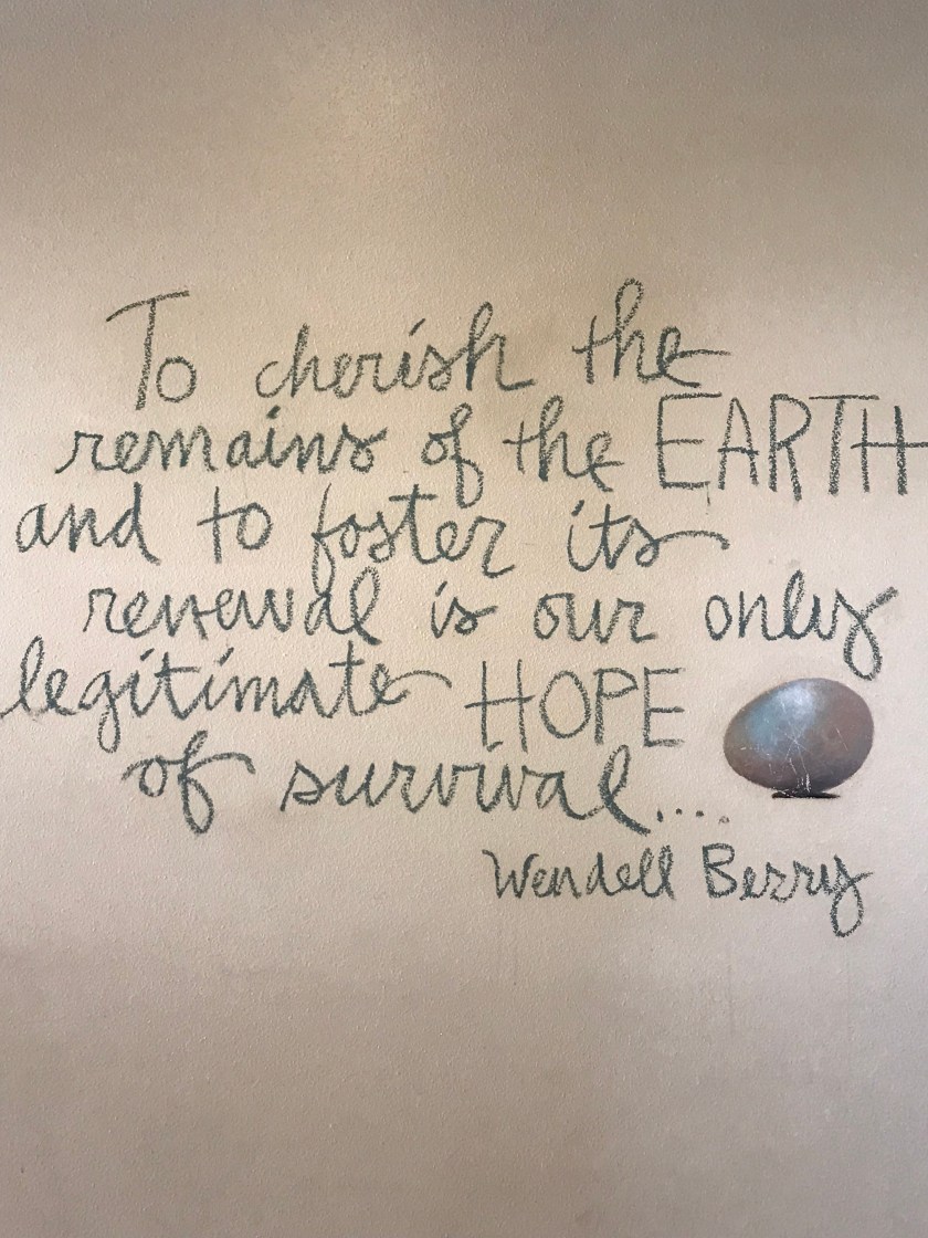
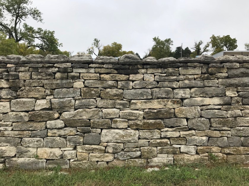
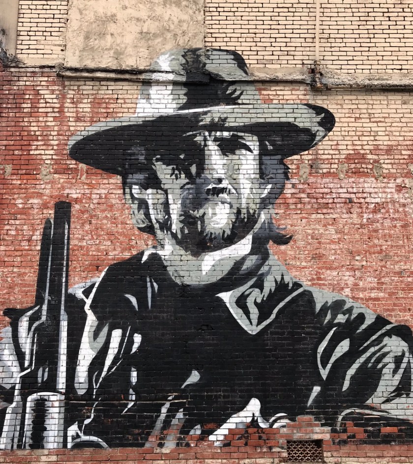
 This is a flat painted wall.
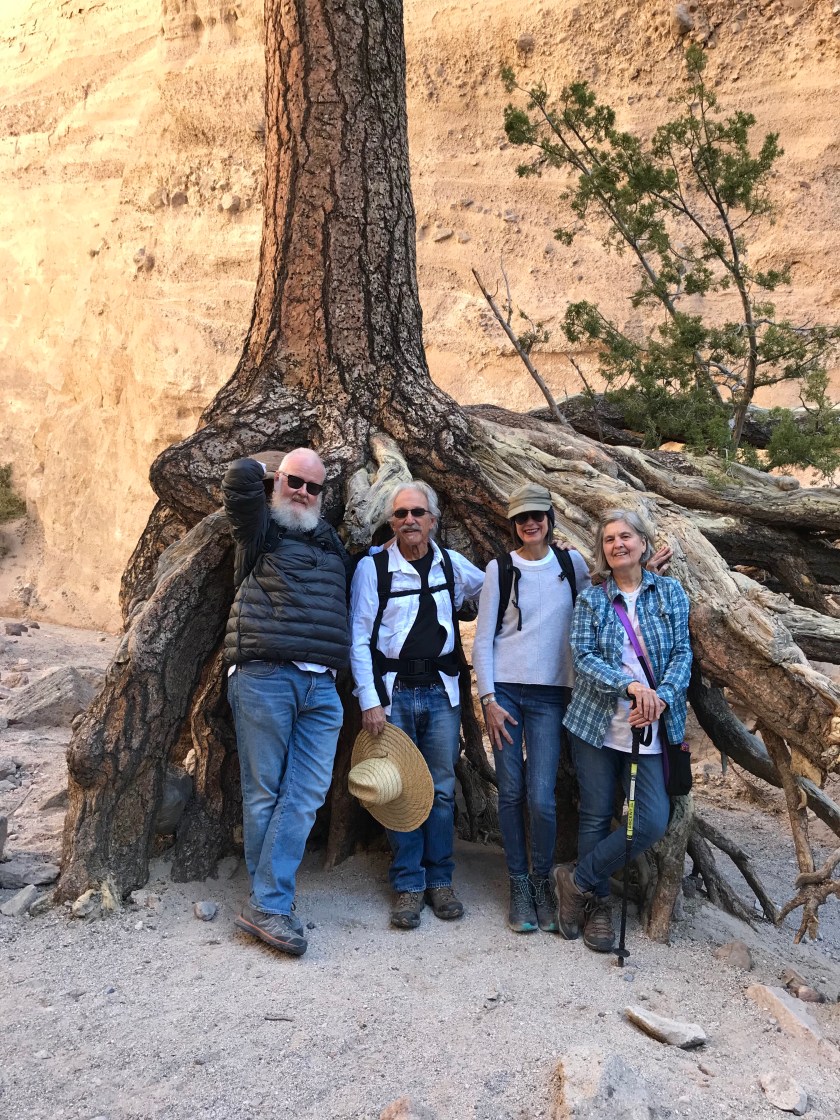
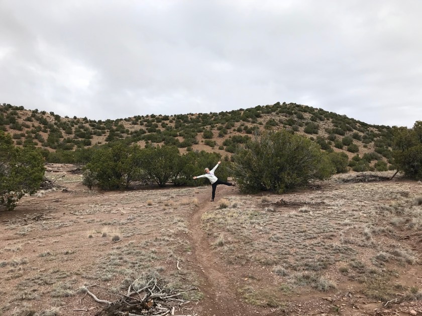
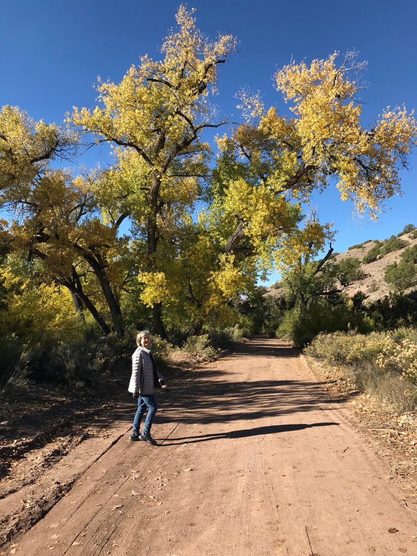
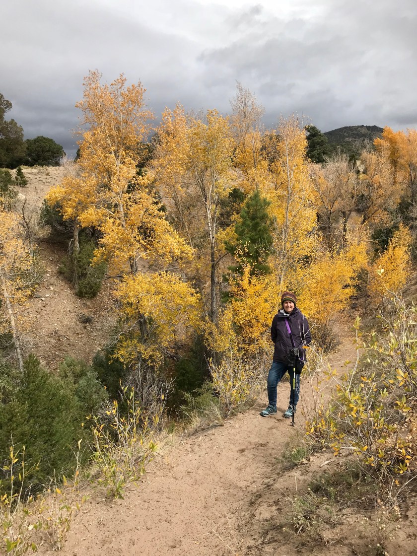
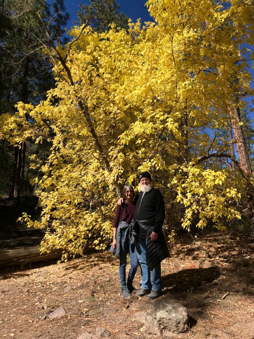 Ellen and Rory soaking up the Fall colors.
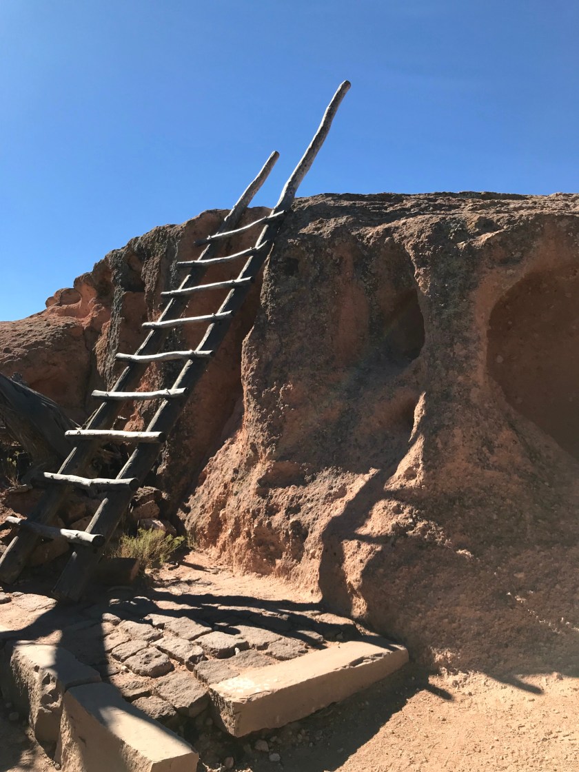

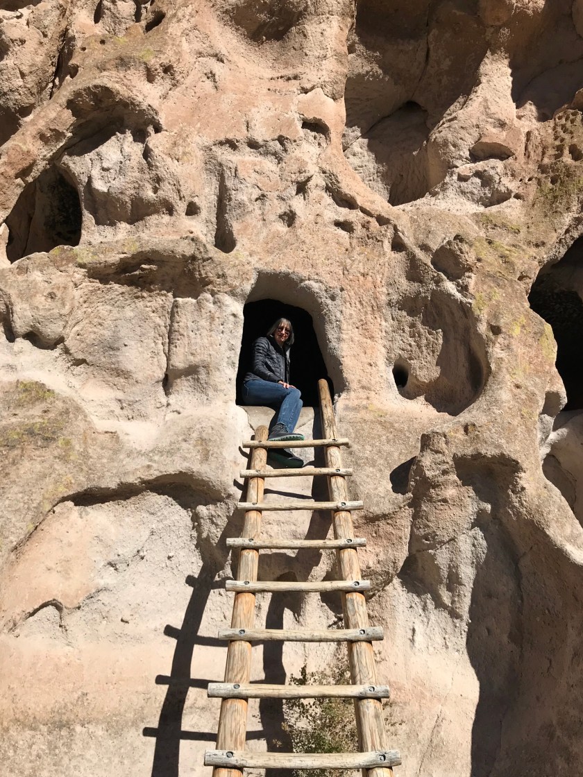
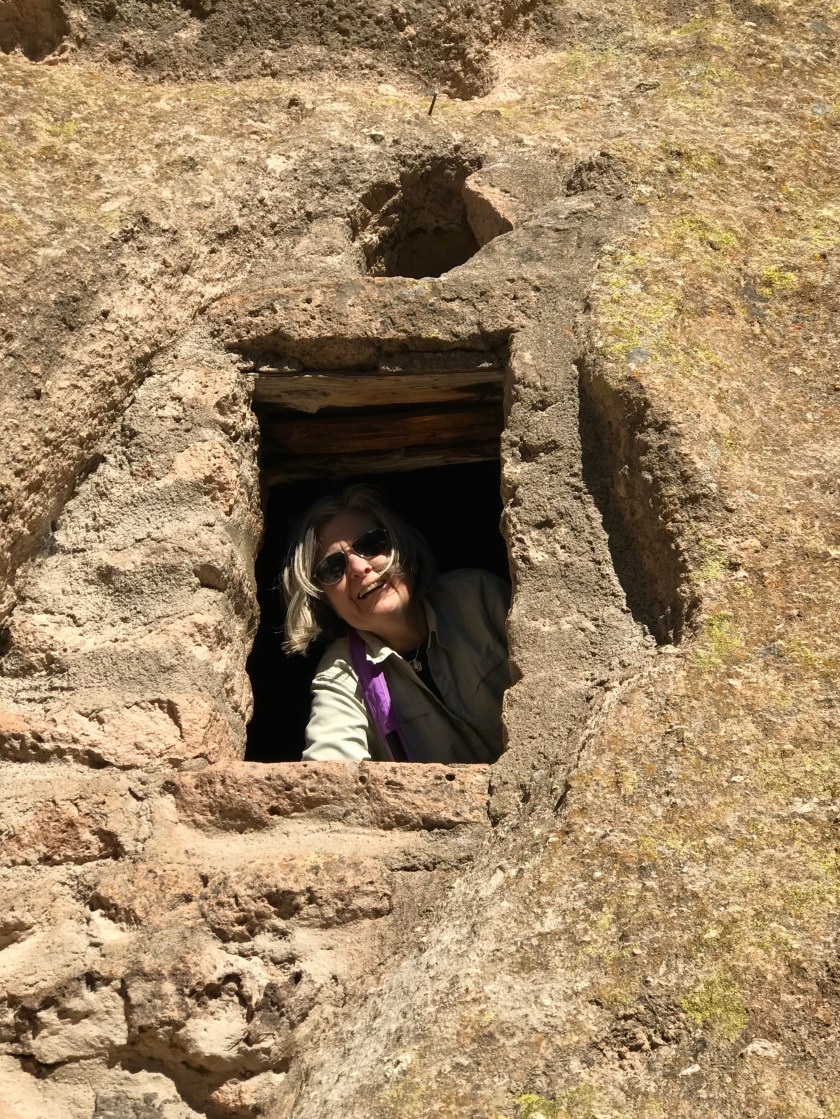
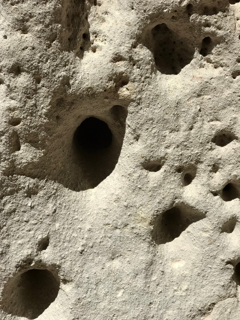
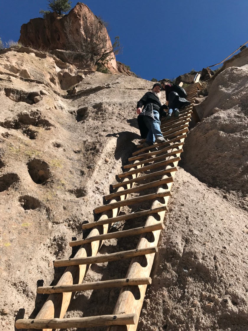
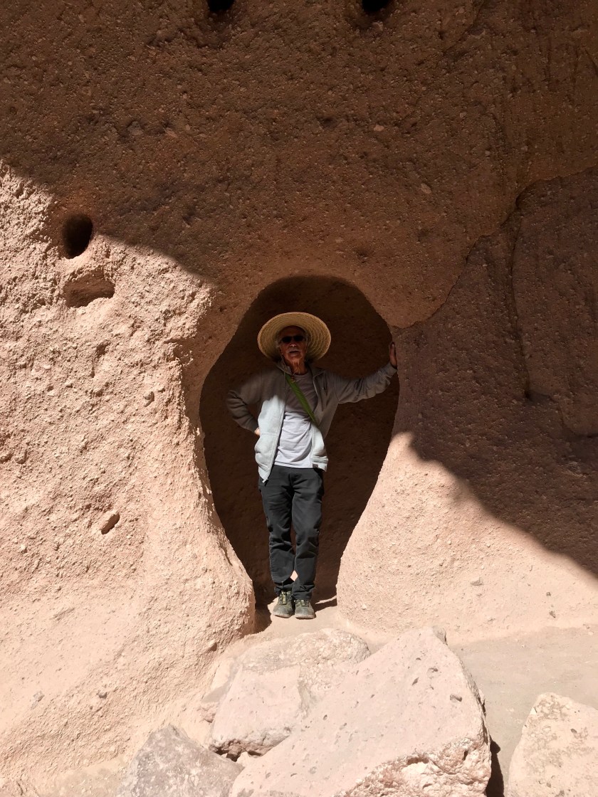
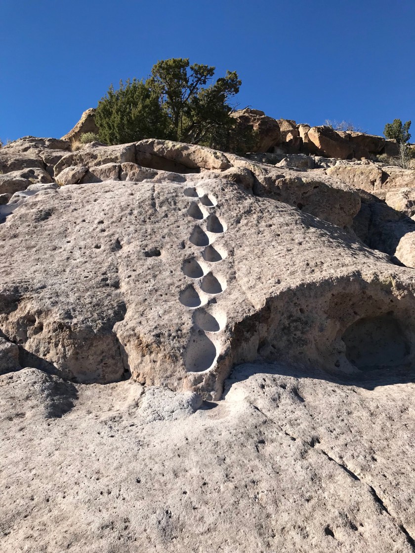 Ancient foot holds for ascending the Mesa.
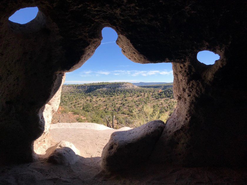

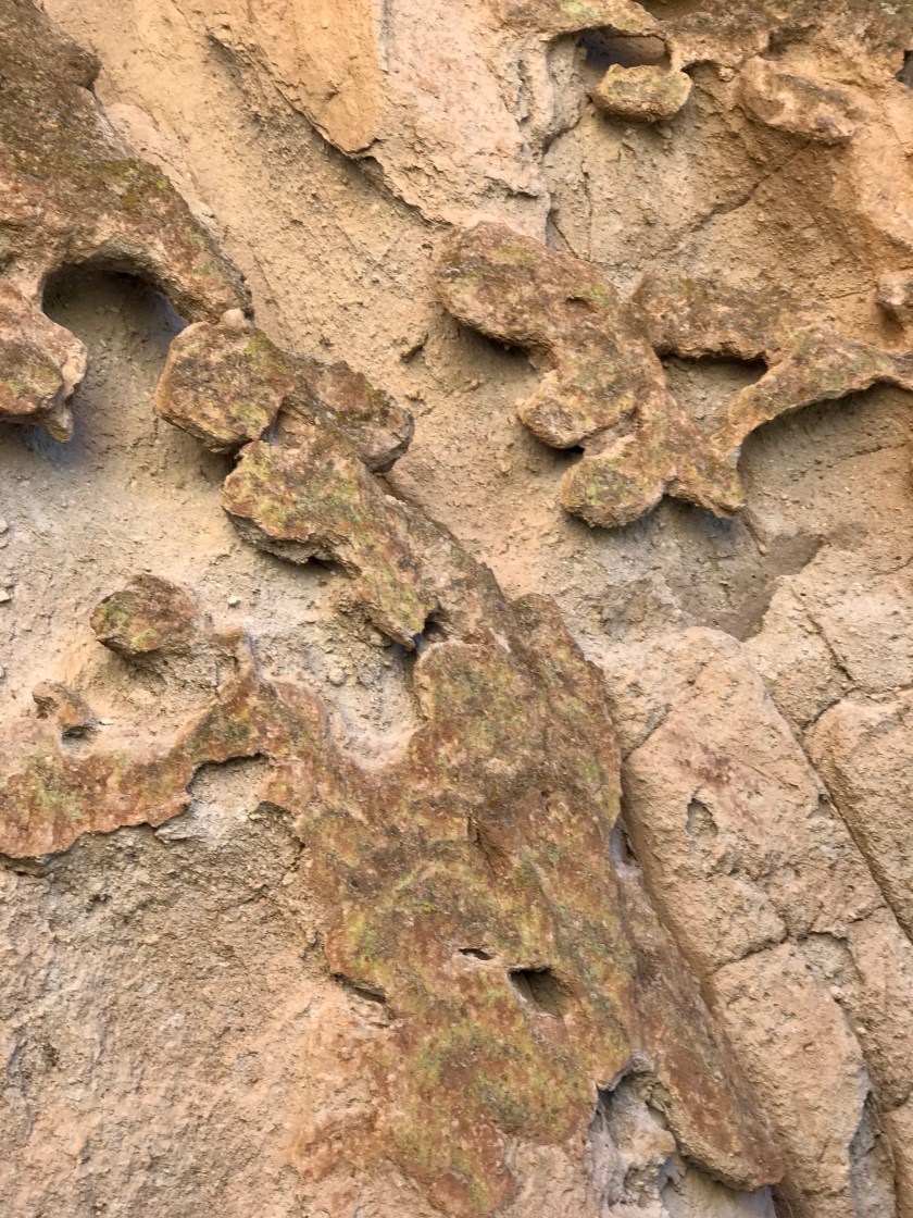
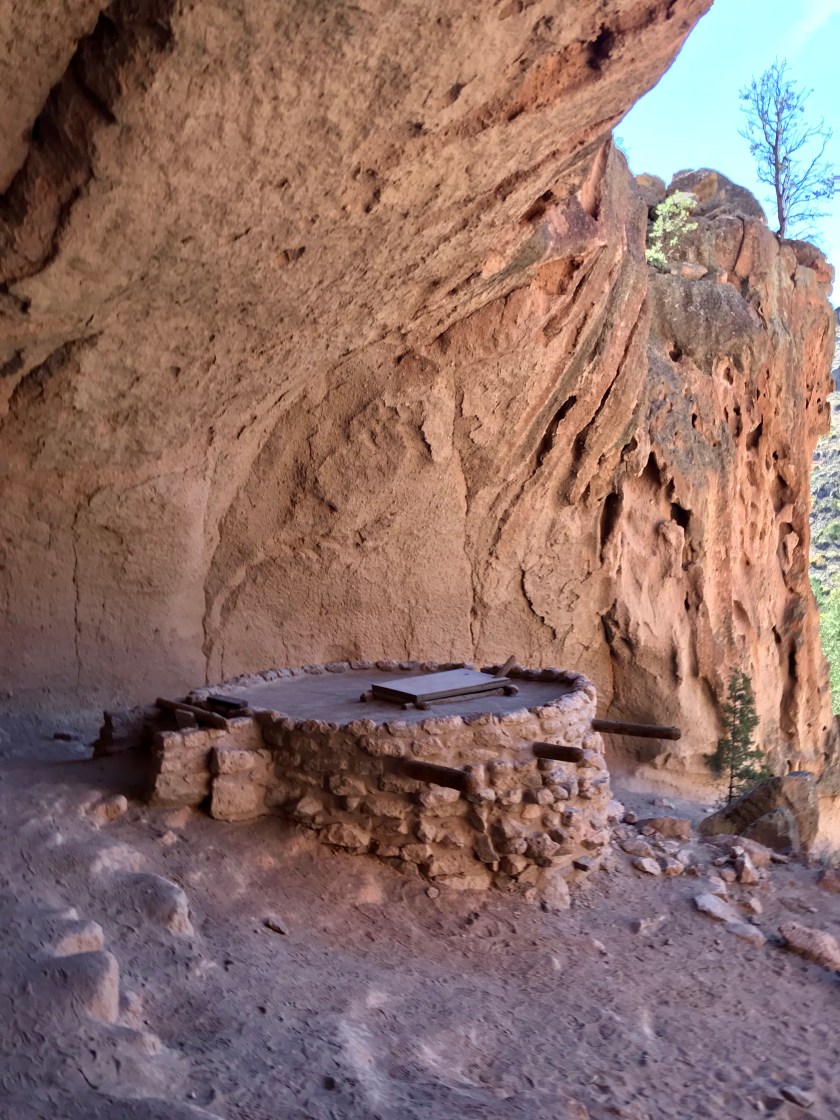
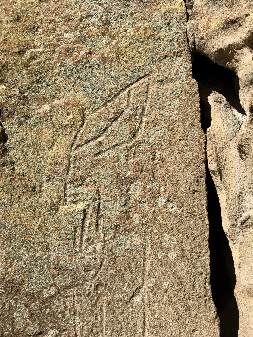
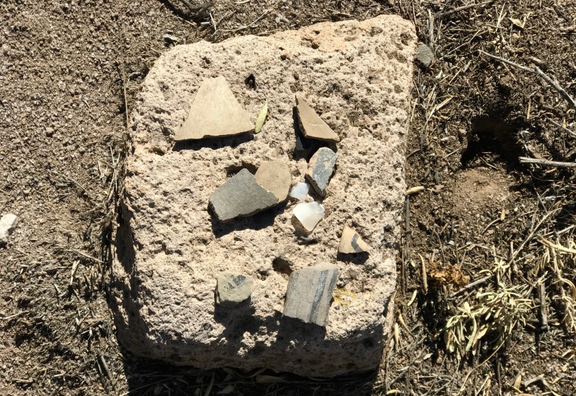 Pottery shards
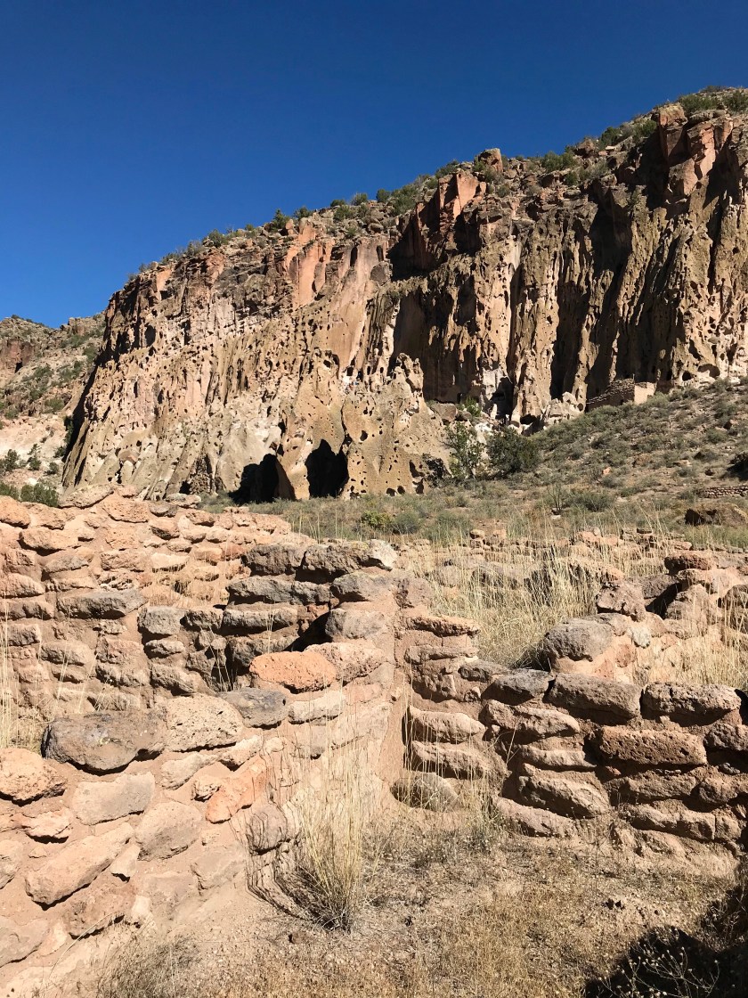
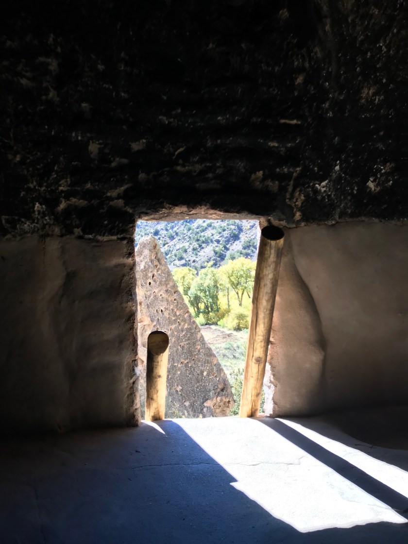
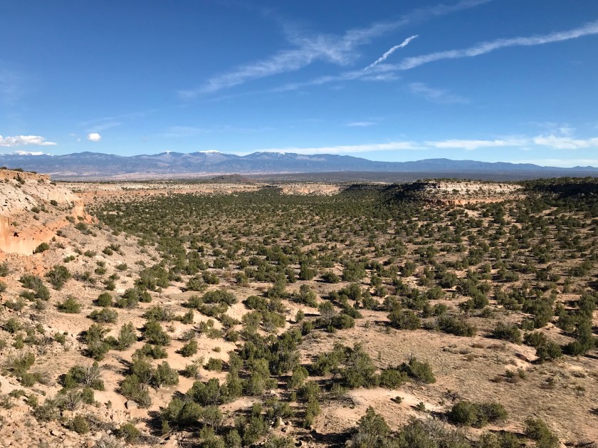 The view from the village site
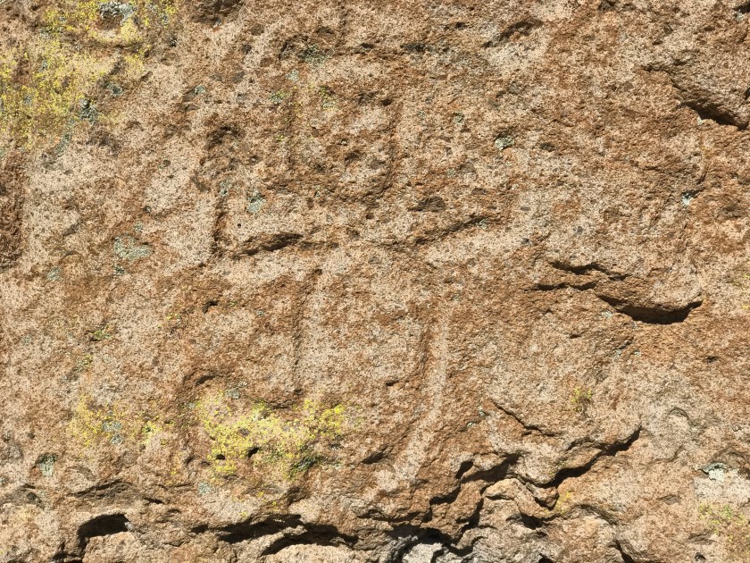


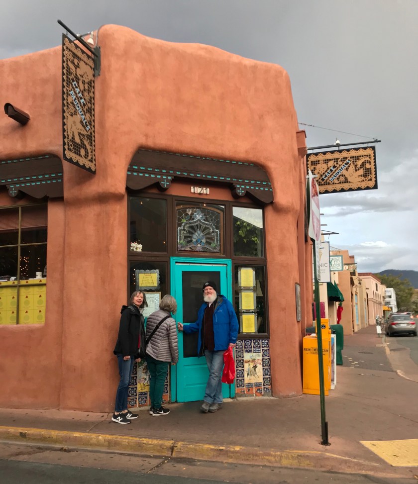 Cafe Pasqual’s, one of our favorites.
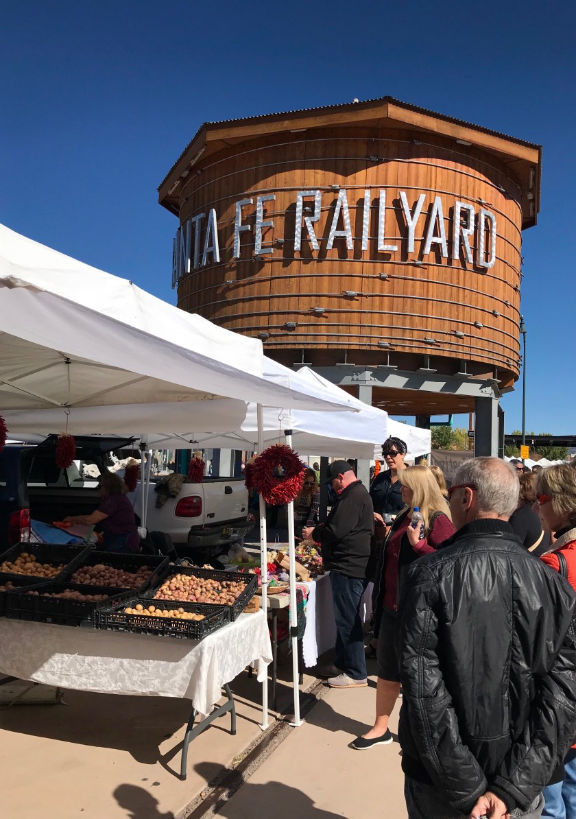


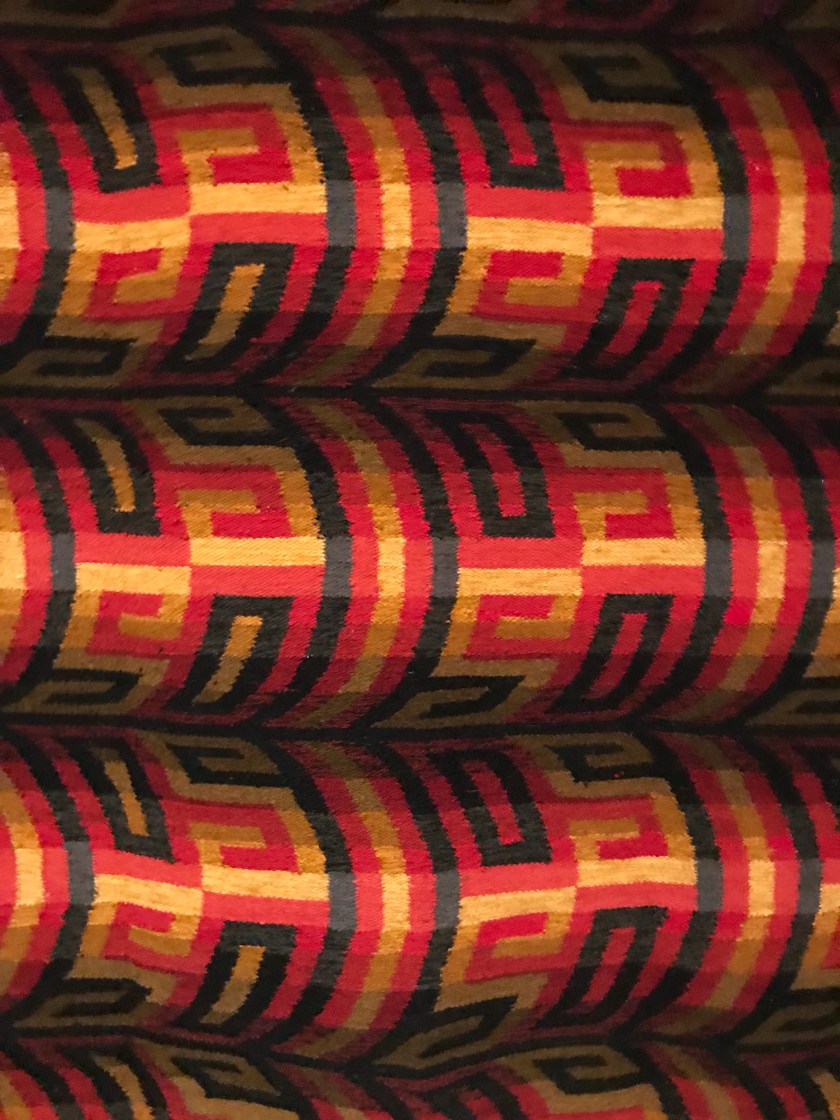 This is a hand woven rug and is flat in-spite of what your eye tells you.
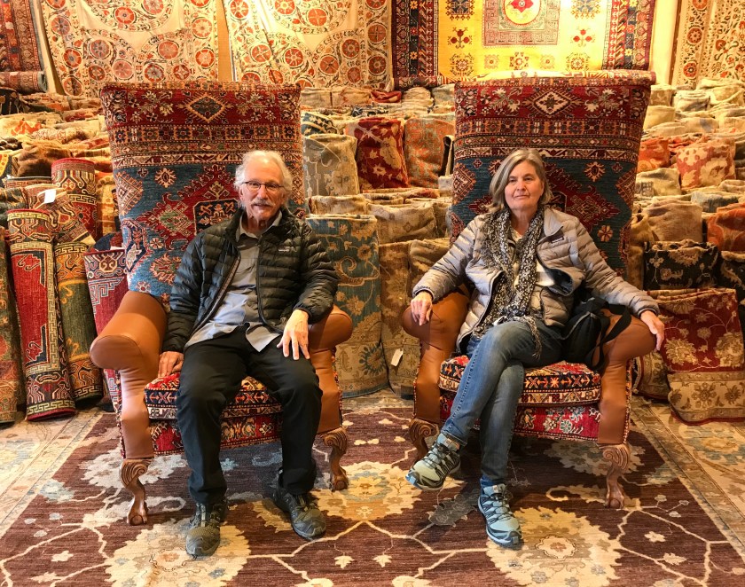 Rug shopping at Seret & Sons
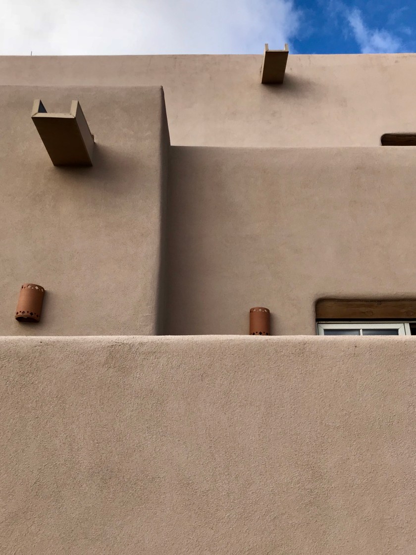

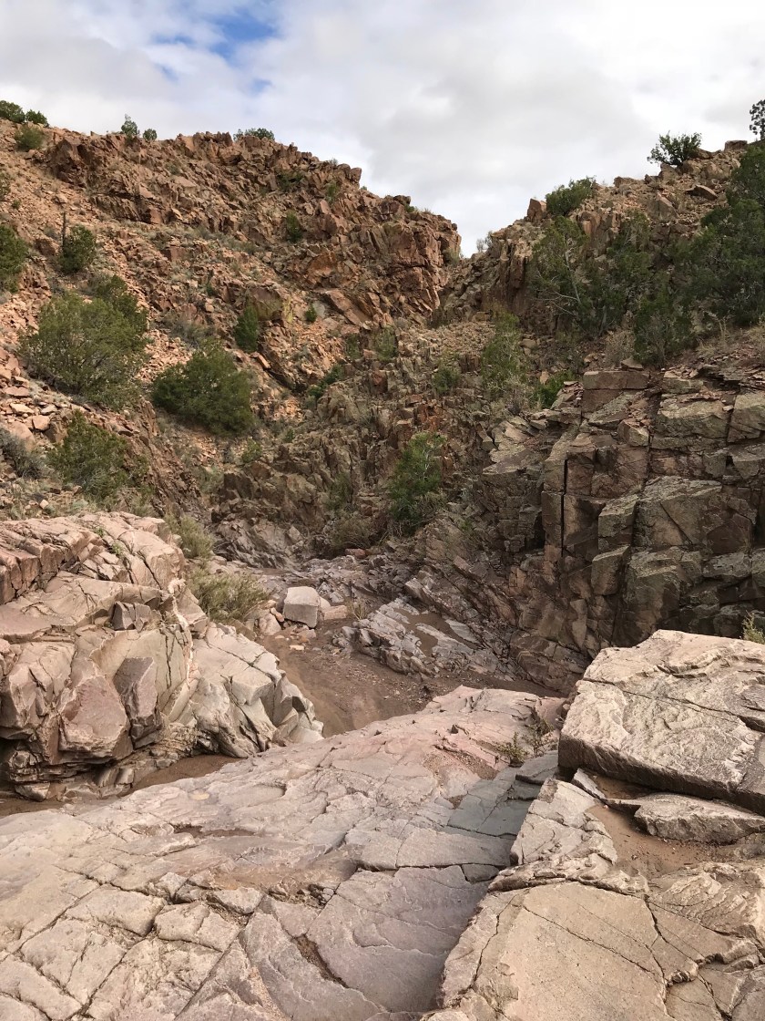
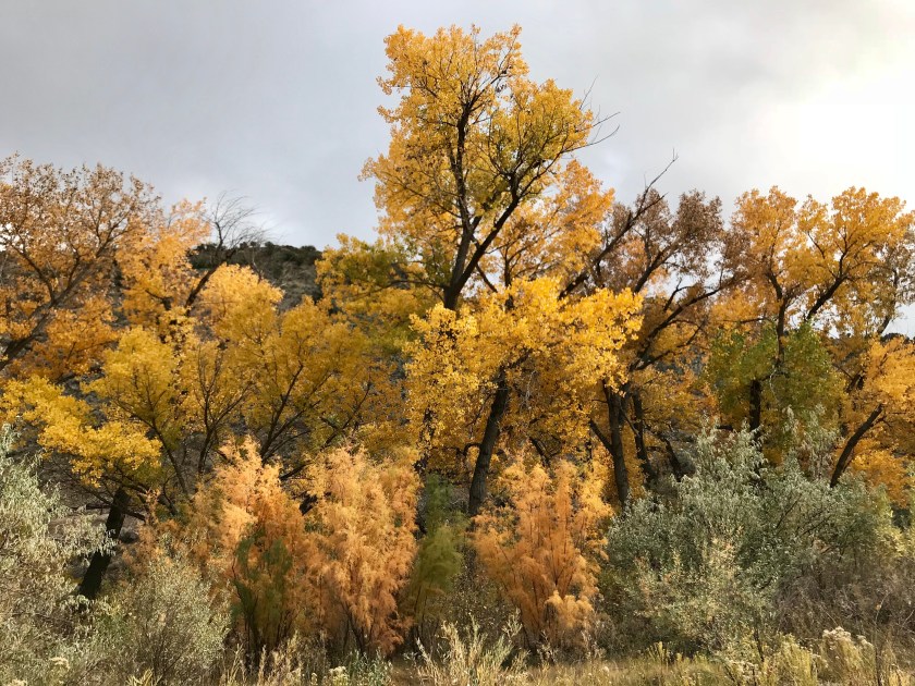
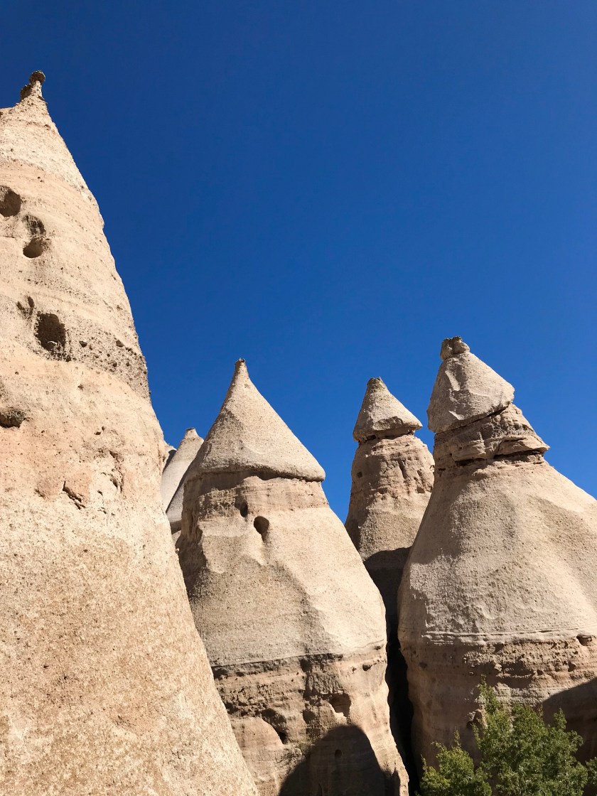
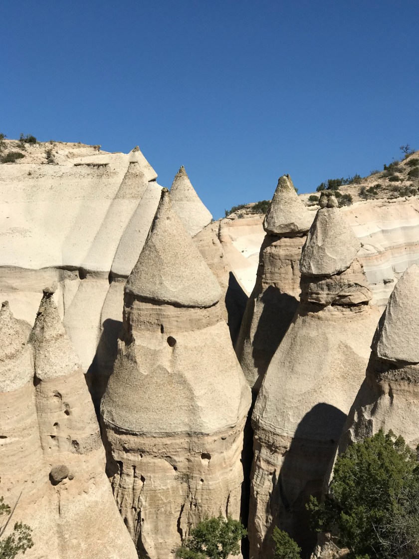
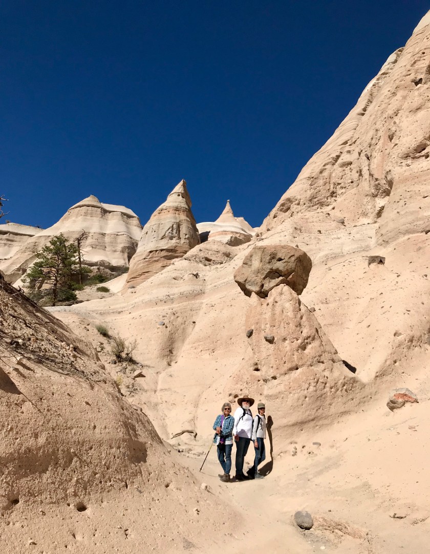
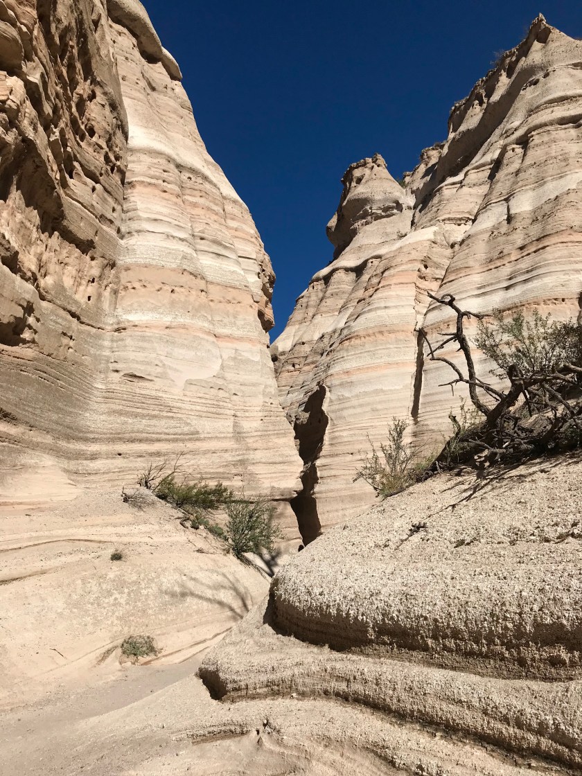
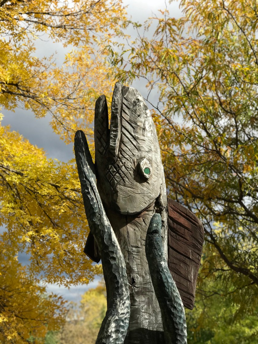
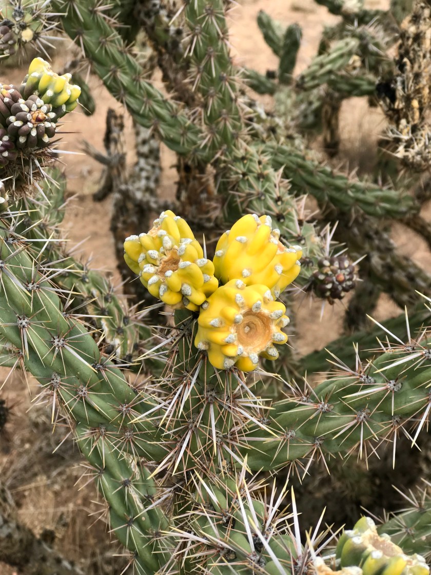
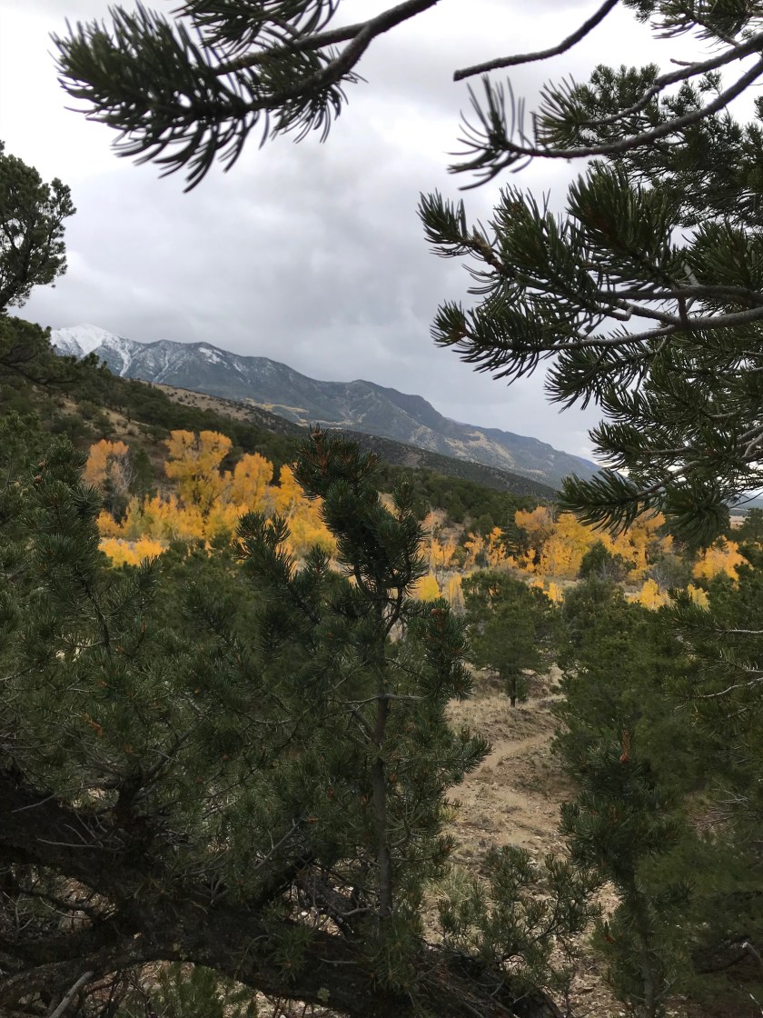
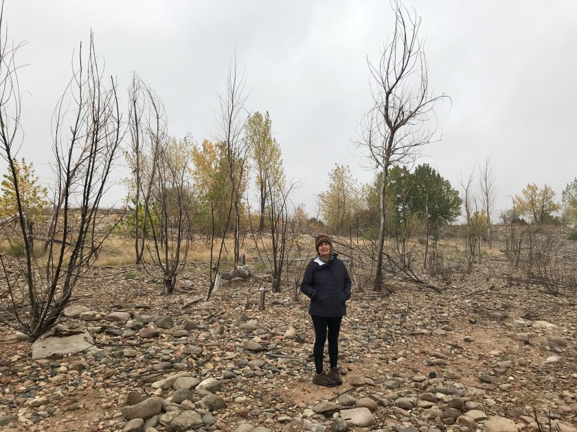
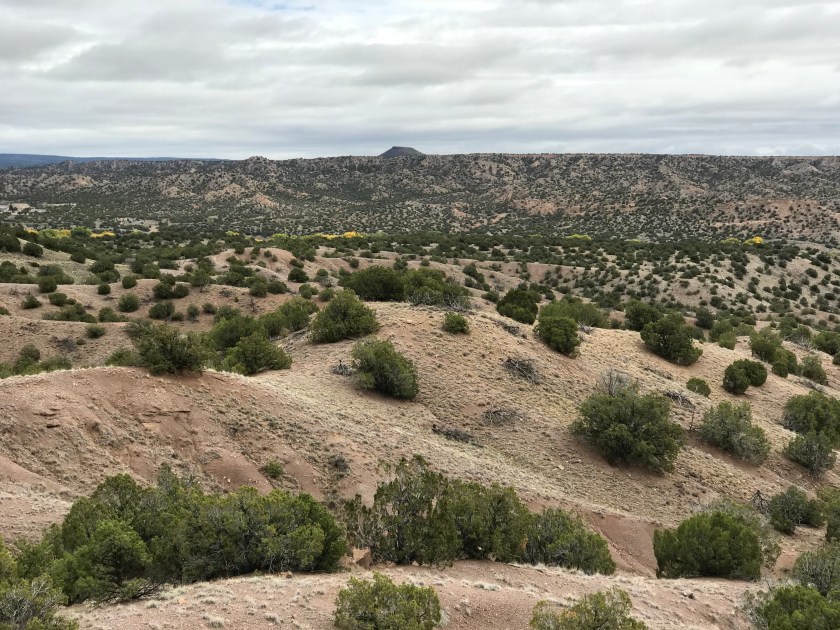 We never tire of exploring these hills. It always amazes us how such a dry and stark landscape can produce such beauty.
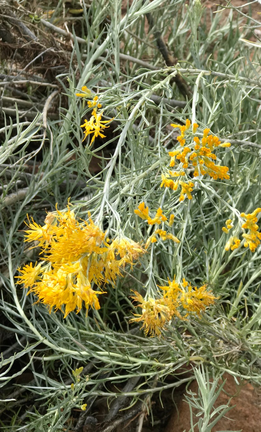

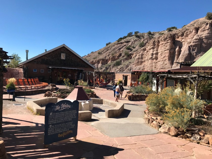
 The folks who run the spa are always looking to improve and add new features. This year they installed a number of vintage trailers for rent with more on the way.
 No mountain lion sightings-but it does give one pause.


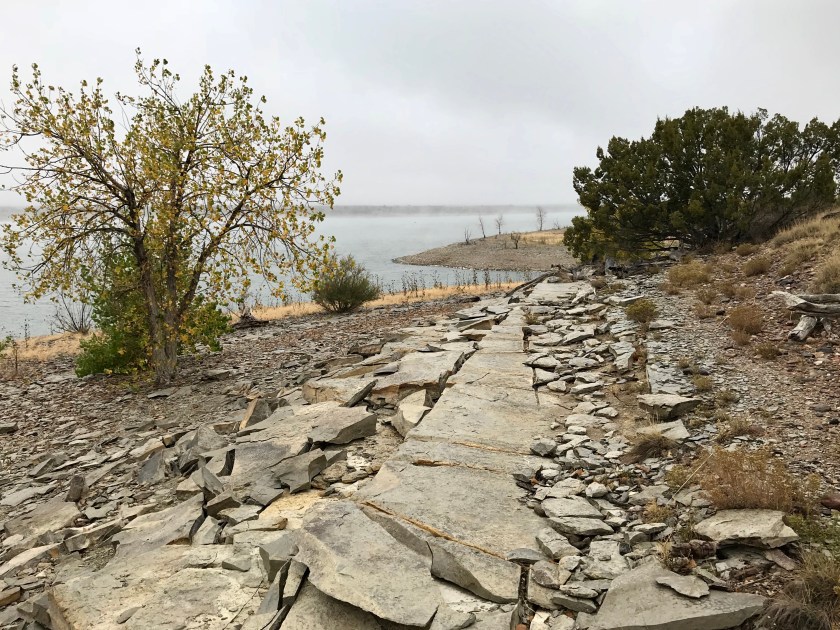
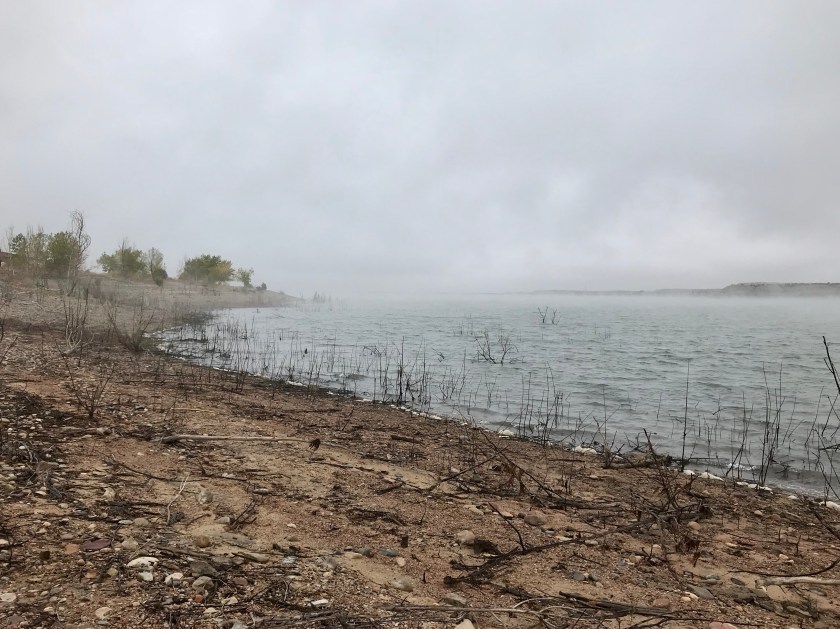
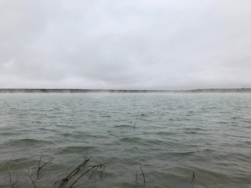
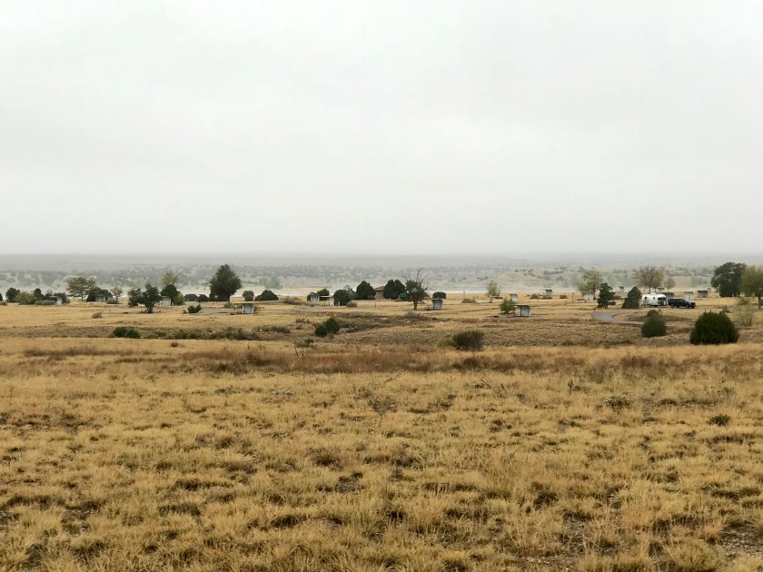 Can you spot the Tincan?
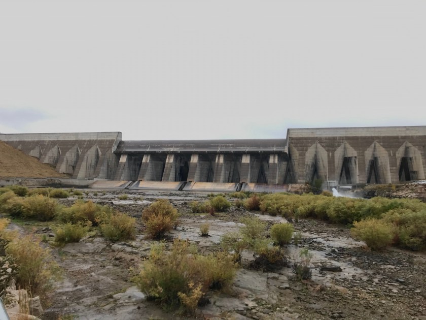 The dam that created the reservoir.
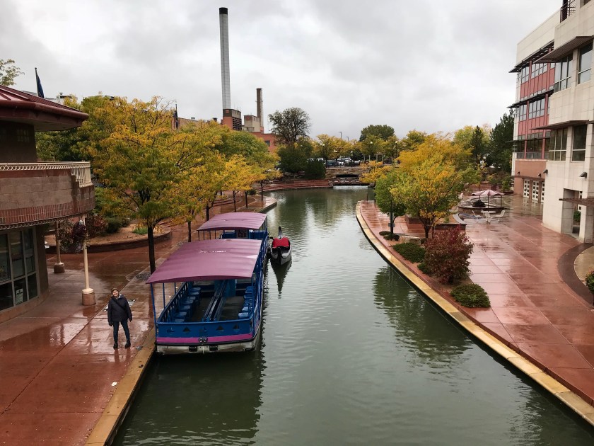
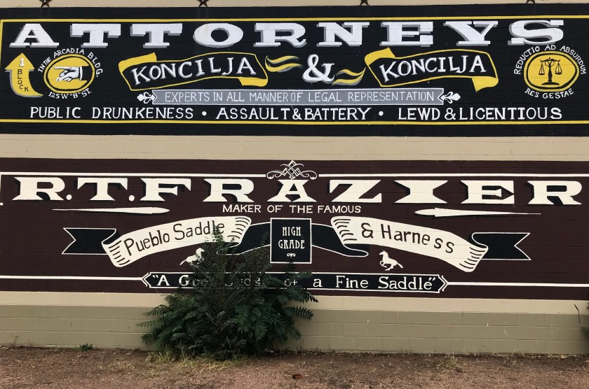 It appears that things can get out of hand here in Pueblo.
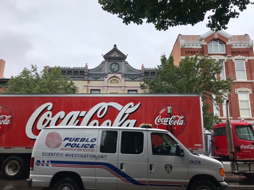
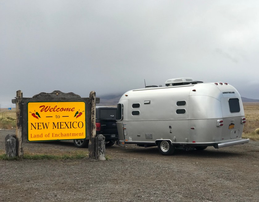
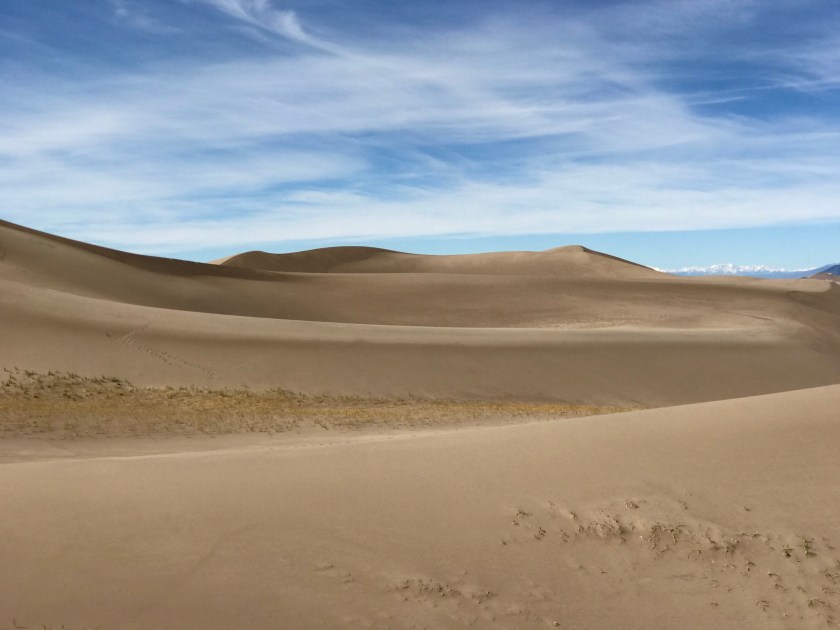
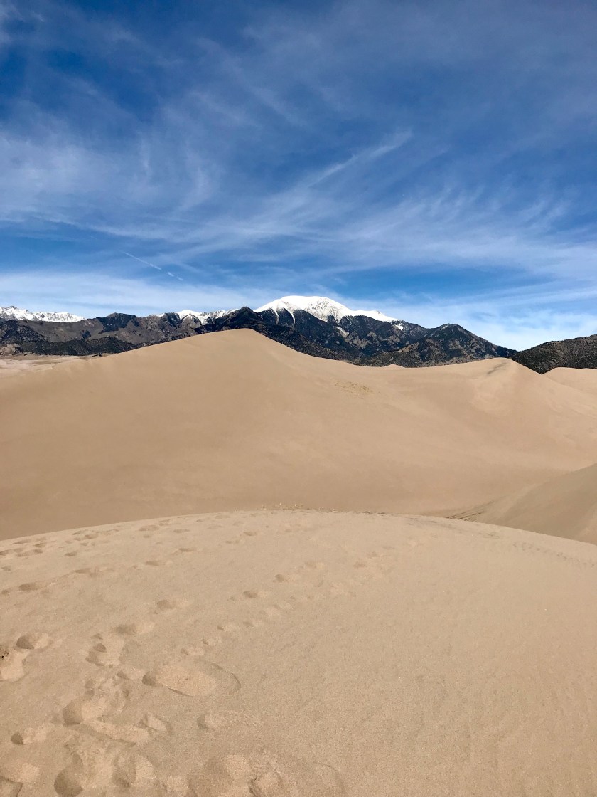
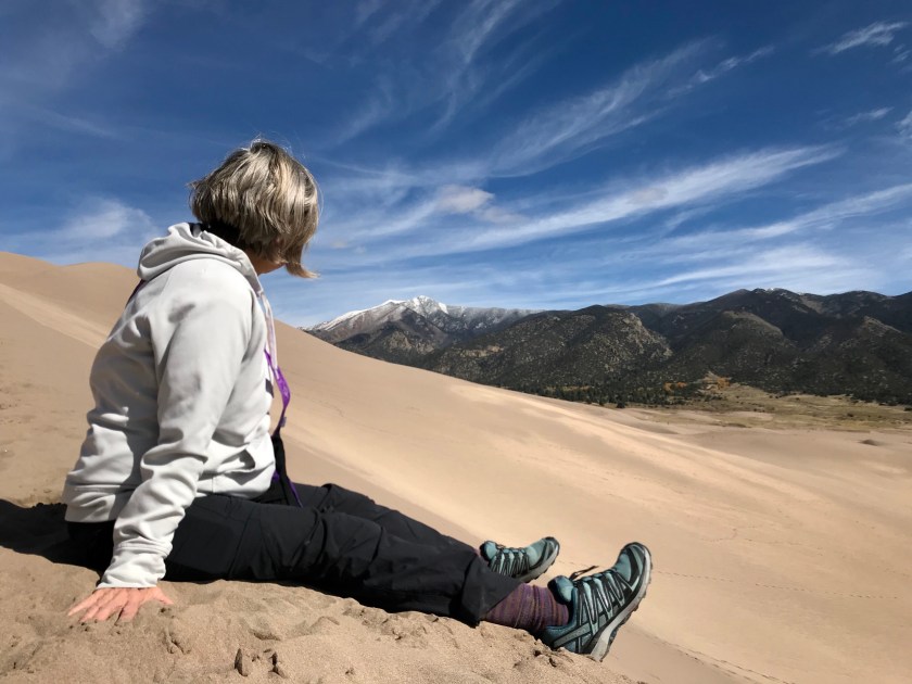
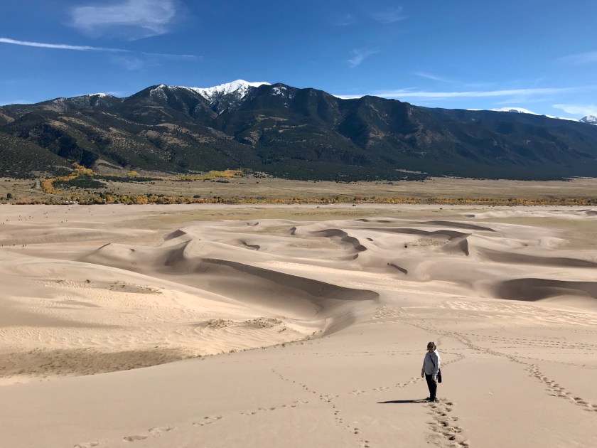
 Snow in La Veta Pass on our way south
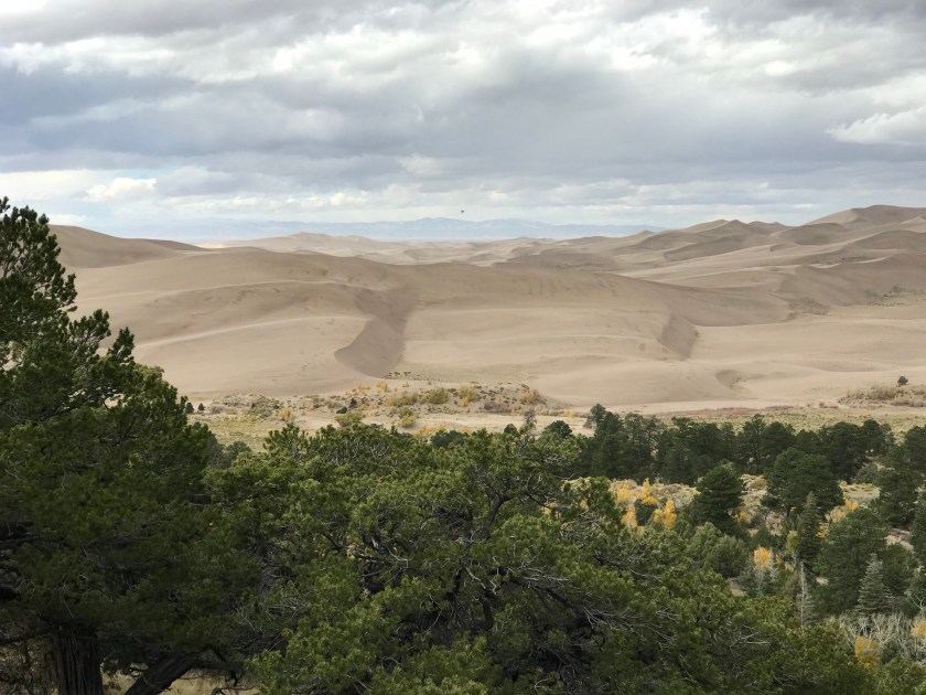
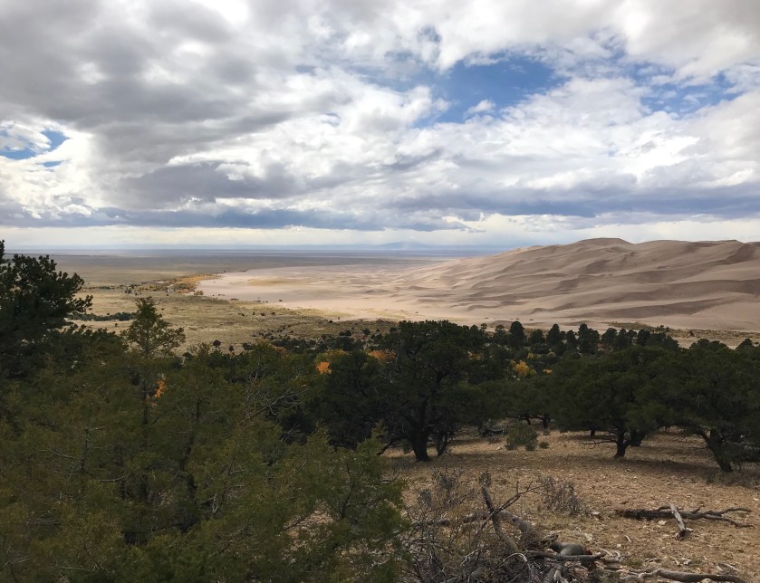
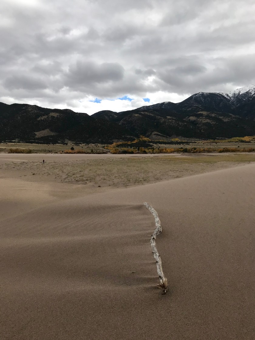
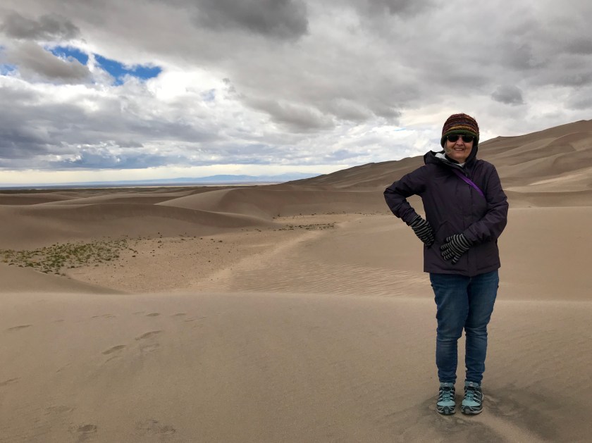
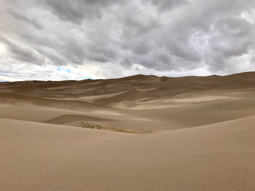
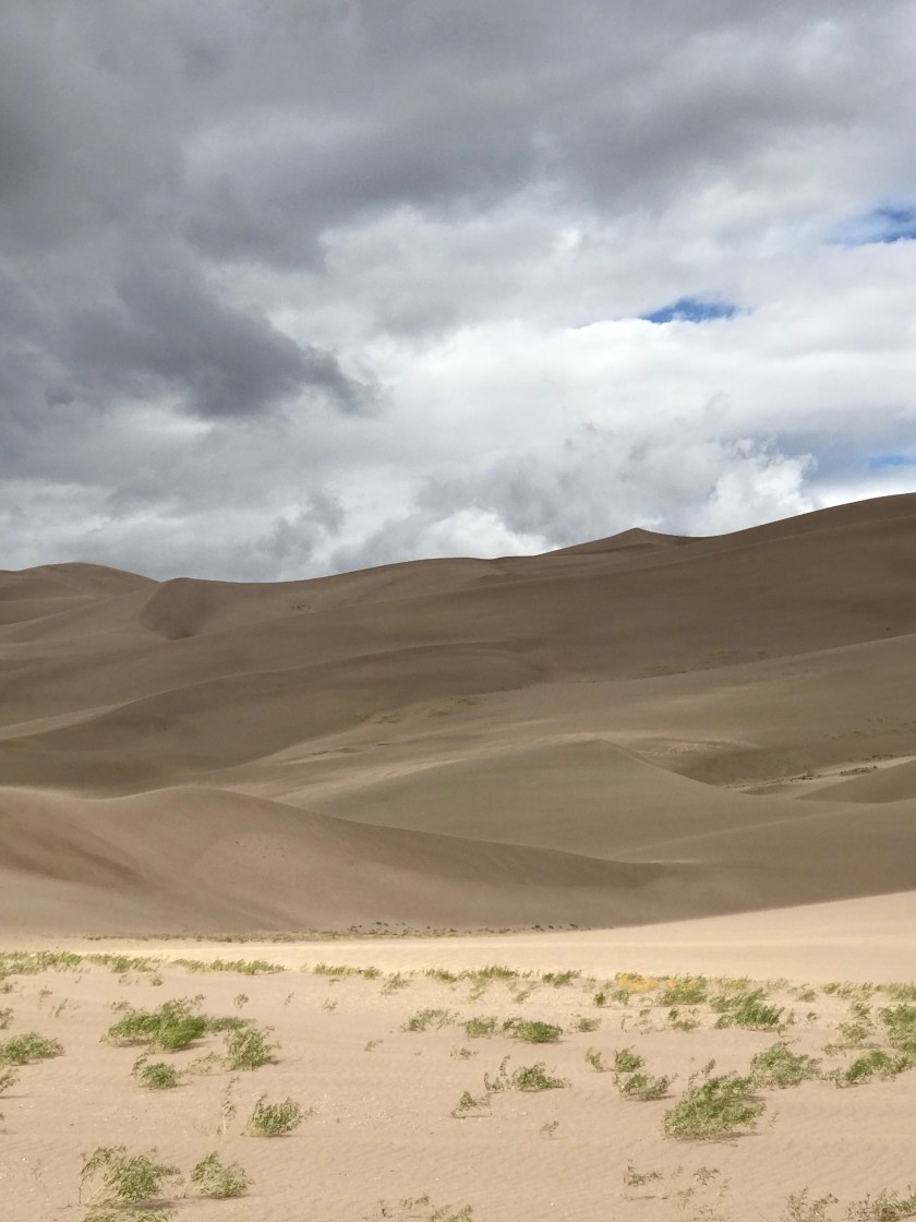
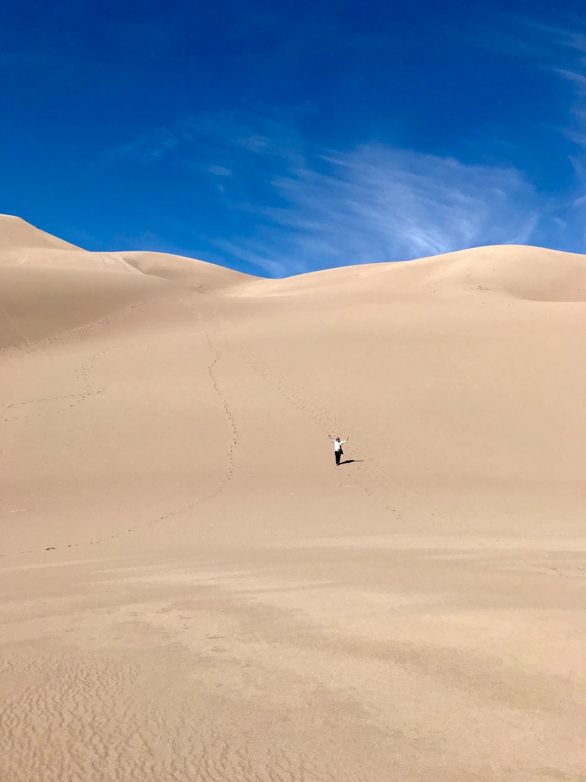
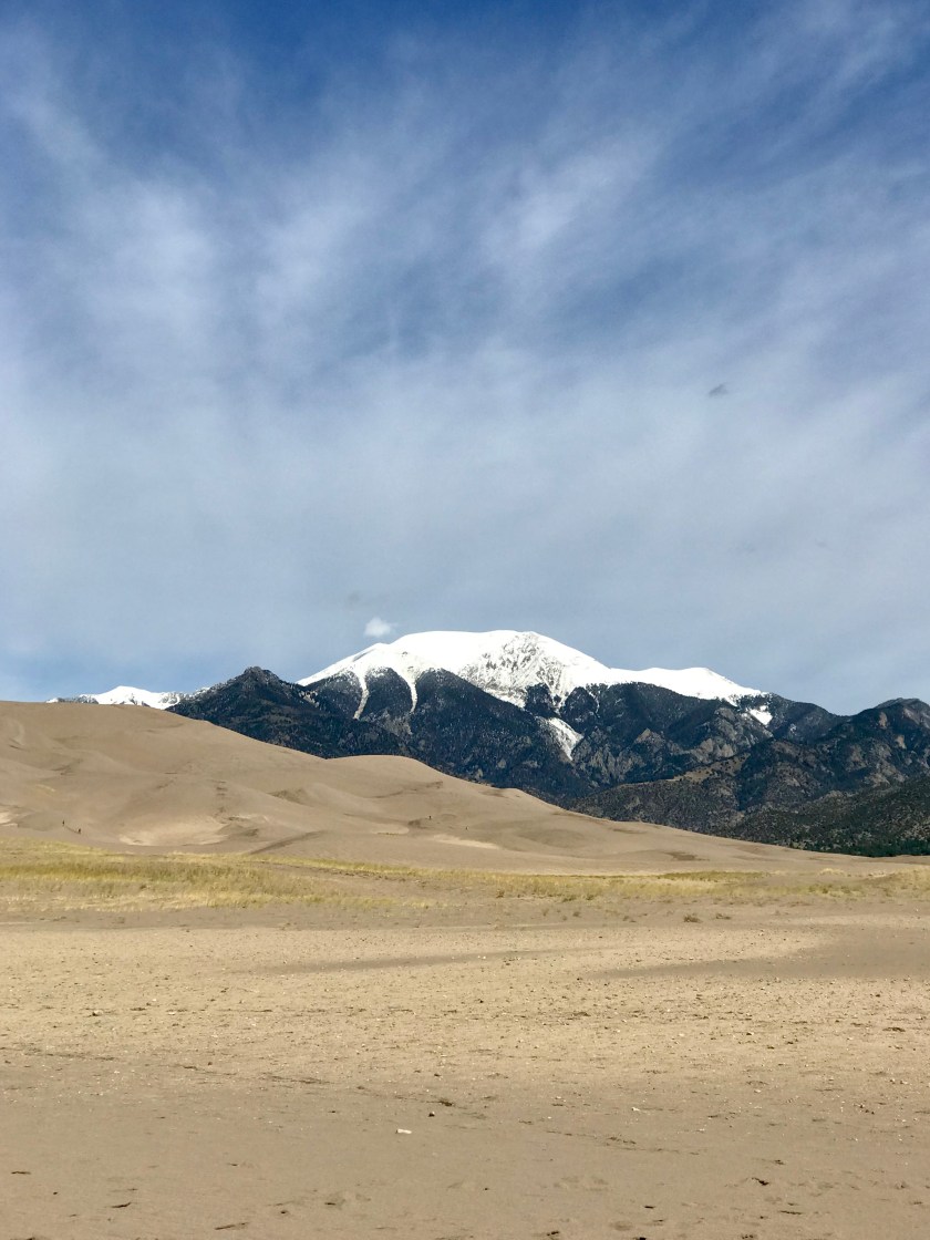
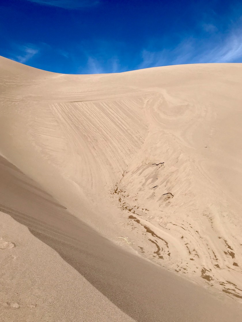
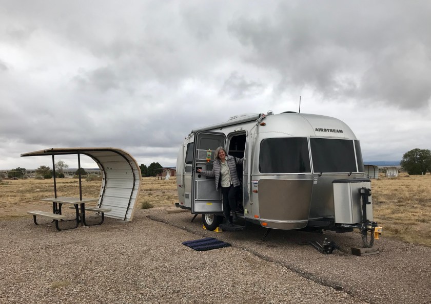
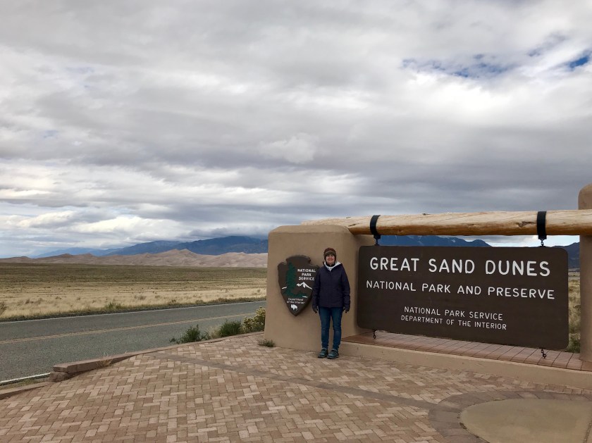
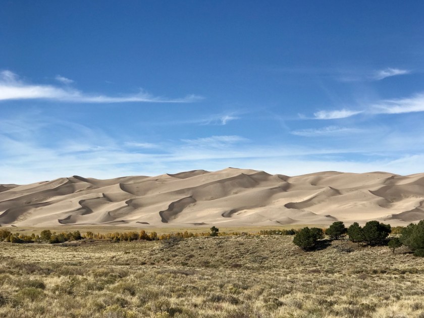
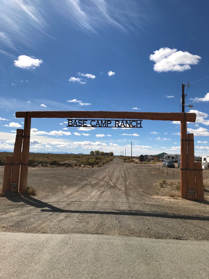 We setup camp about half way between Alamosa and Great Sand Dunes NP. Alamosa is a college town of about 10,000 people with some good restaurants, two coffee houses and a couple of breweries. There is also a cooperative bookstore that the community organized and supports.
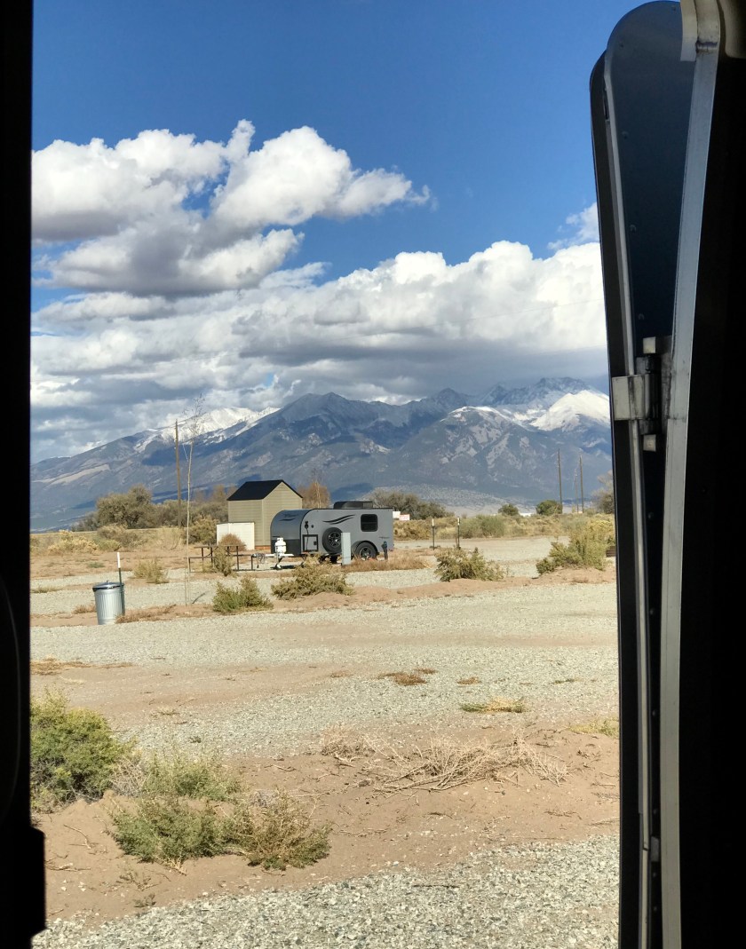 Our front door view
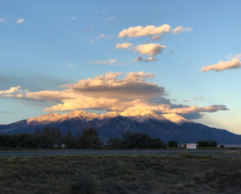


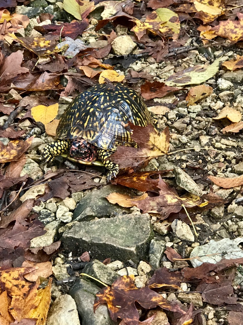 We met this guy on the trail.
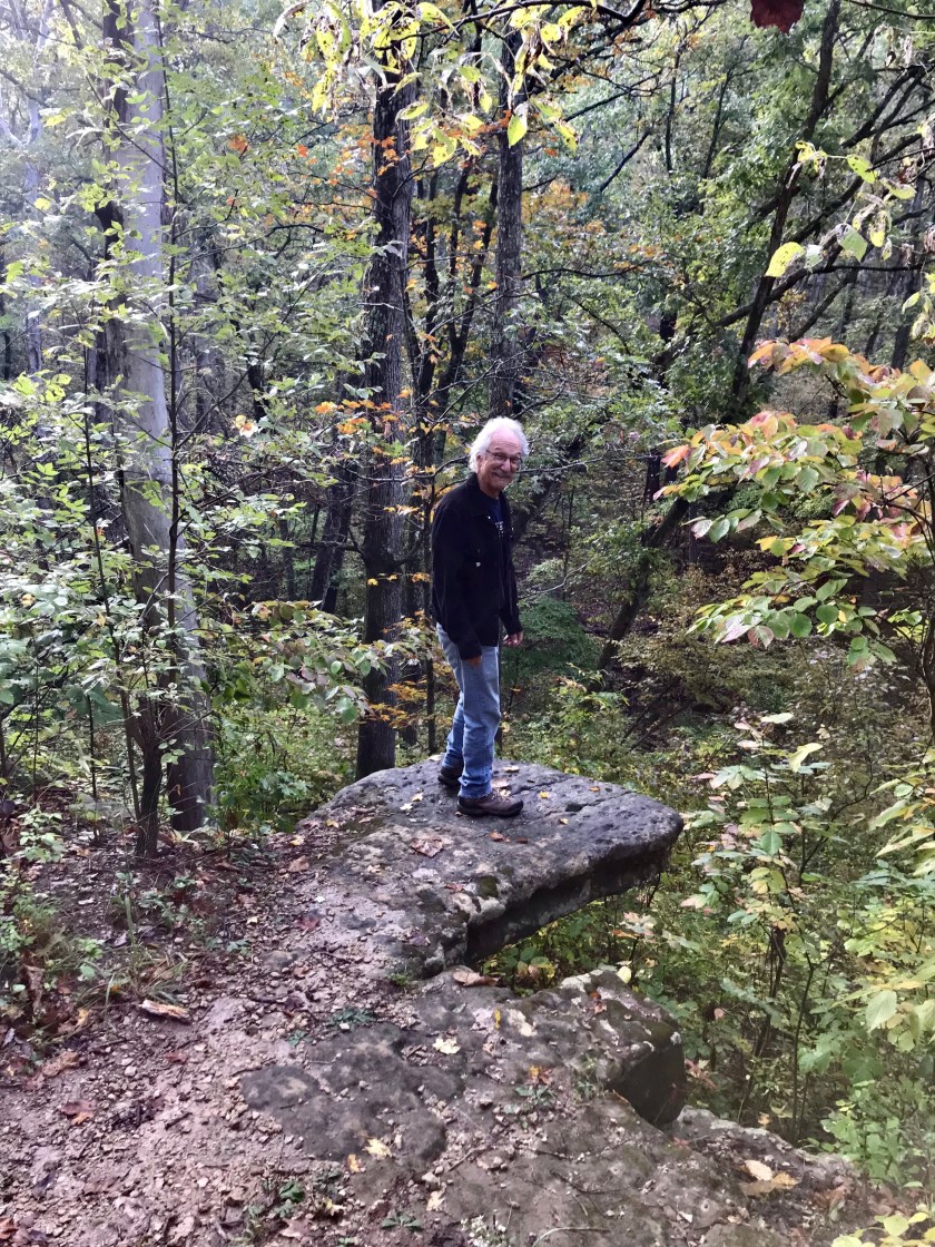
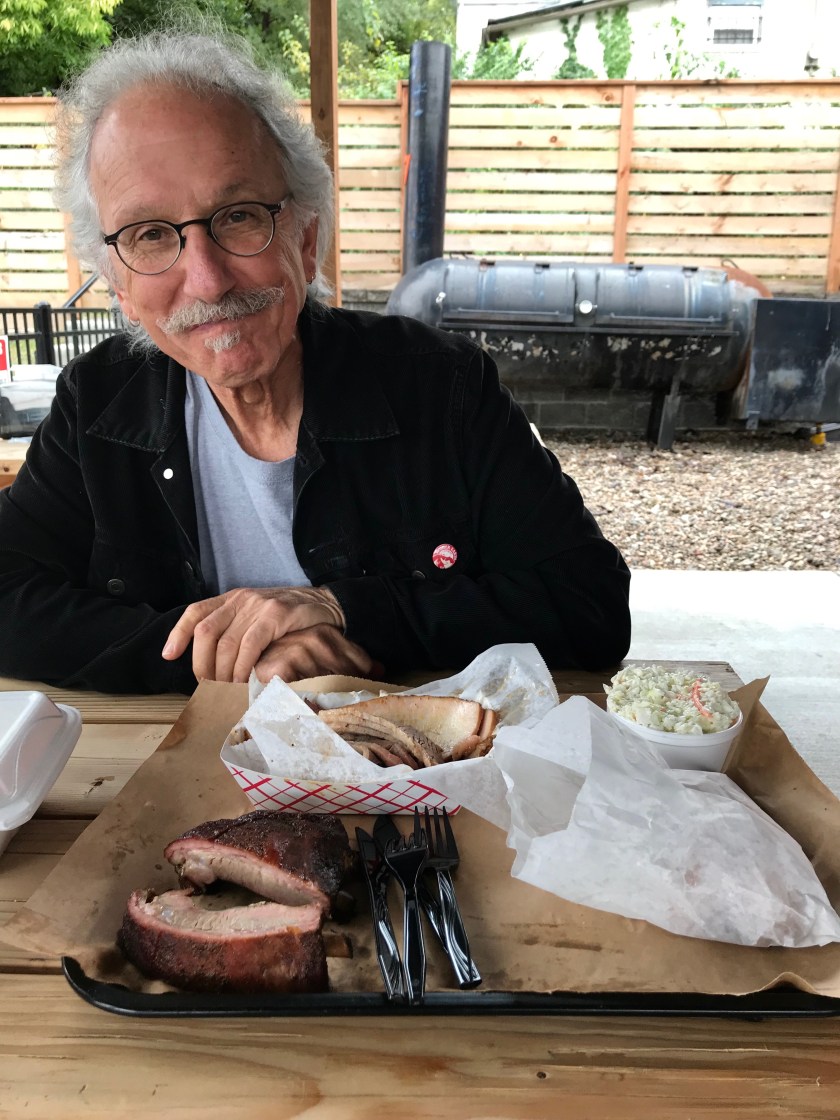 Carnivore’s Delight
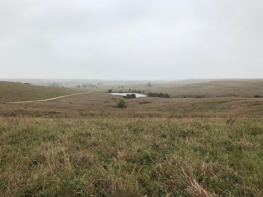
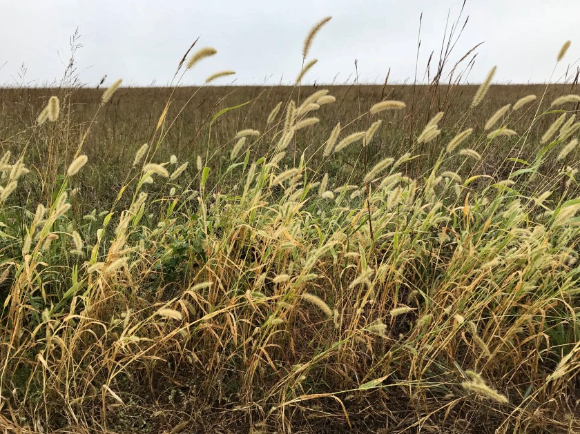
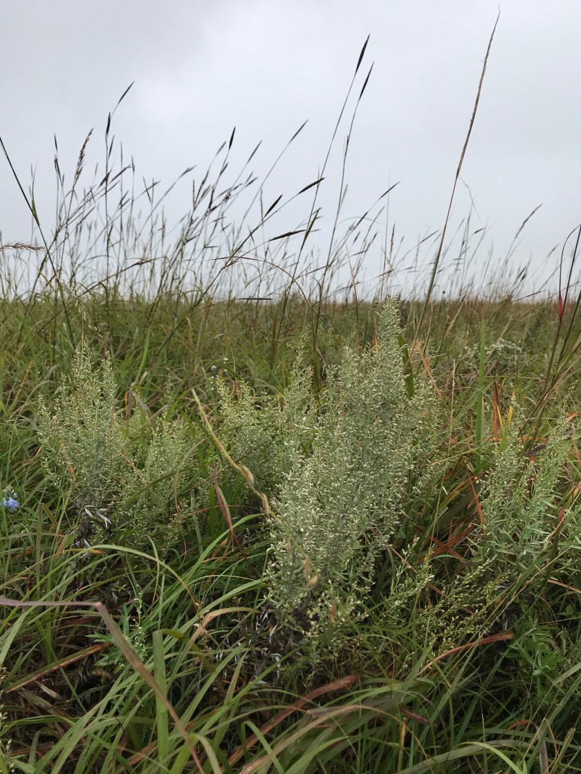
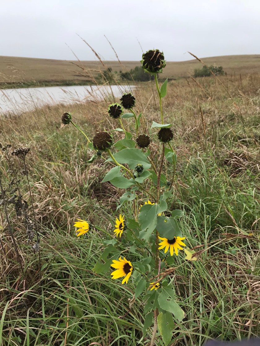
 The dark spots in the distance are a small herd of bison grazing in the Tallgrass Prairie Preserve. The day we visited it was cold and misty.
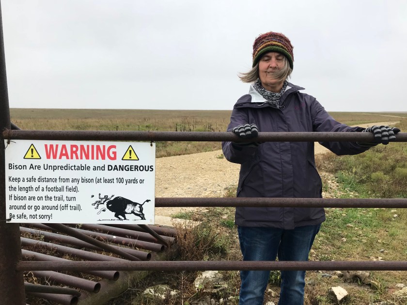

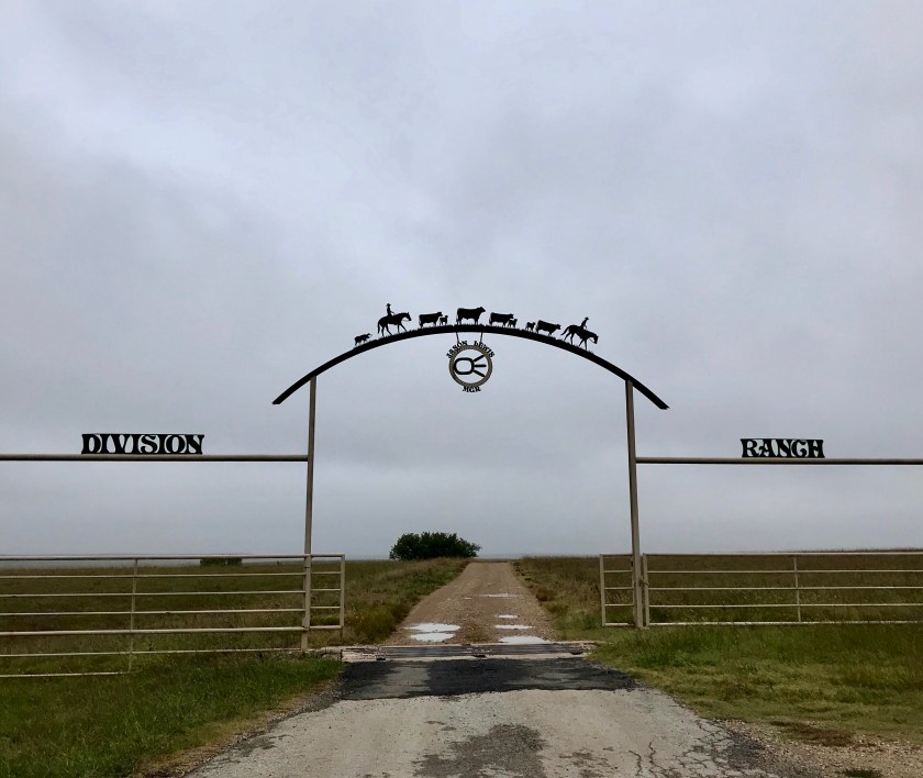 No trip to Kansas would be complete without a little division.
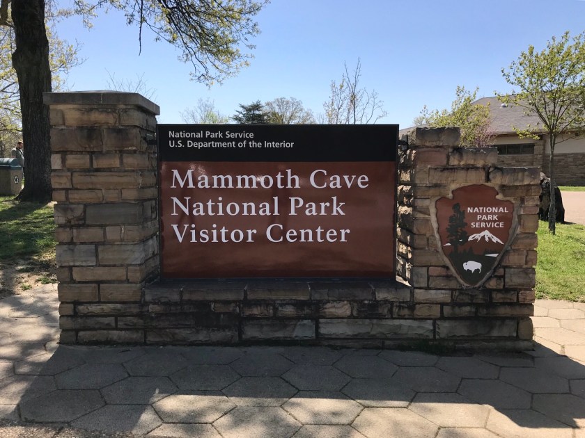 Mammoth Cave is aptly named with its 365 miles of surveyed passageways and upwards of 600 miles of unexplored passages. Visitors have lots of options for cave tours. We chose “Domes and Dripstones”. These tours are not intimate affairs, we did the tour with about 80 people. We entered the cave through a man made entrance and vertically descended 280 stairs to a passageway for a 3/4 mile hike underground.
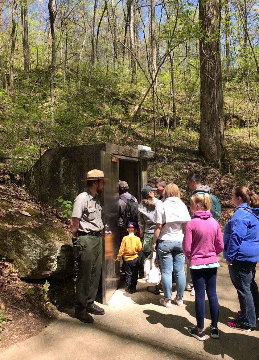
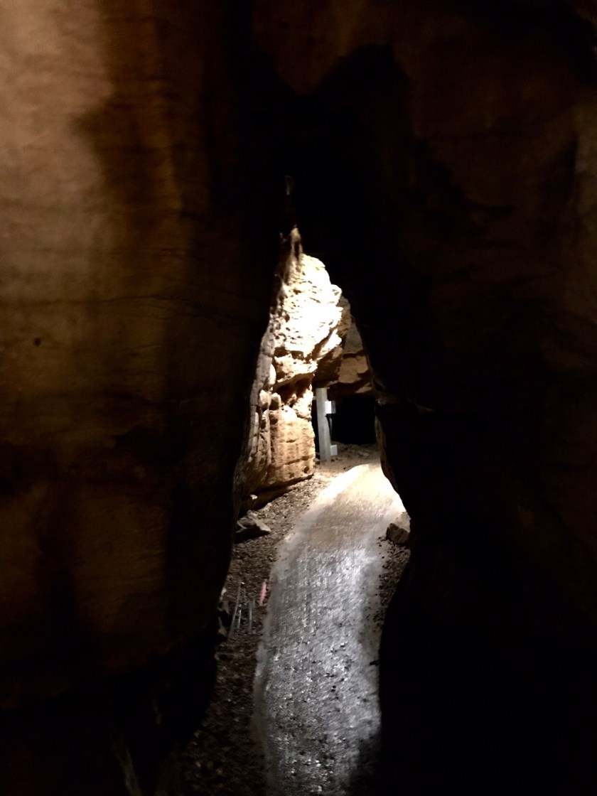
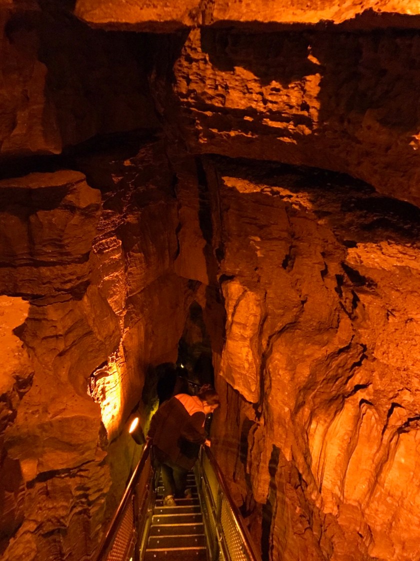 The Park Service uses red lights to illuminate the way.
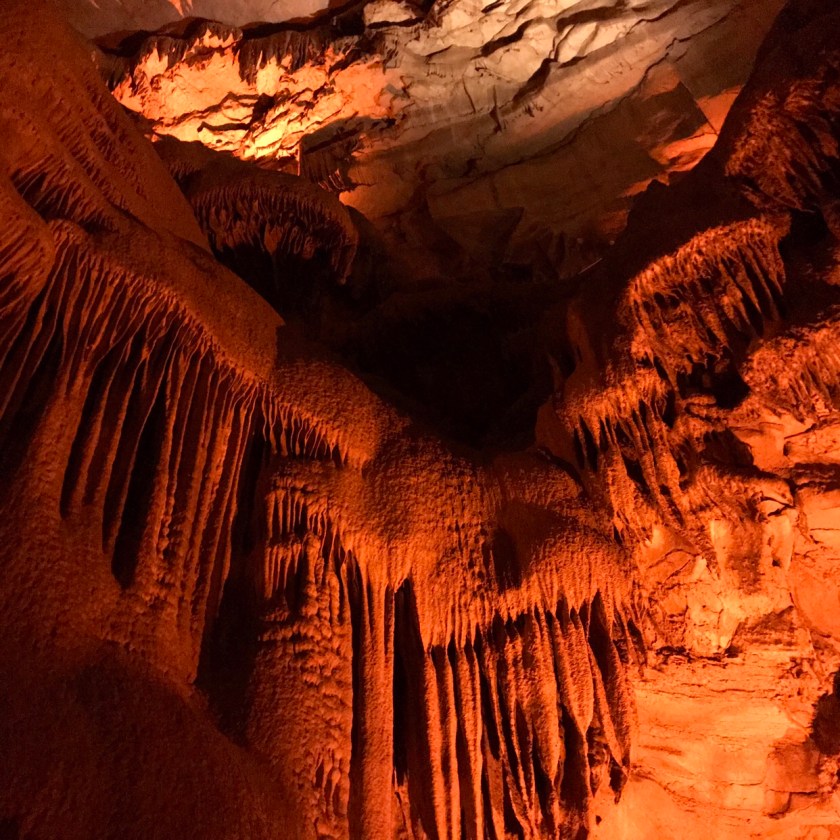
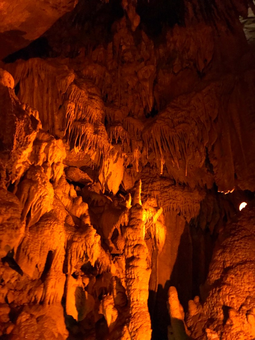 Not all of the cave is decorated with stalactites and stalagmites. Most of the tour traveled through large dry domed chambers.
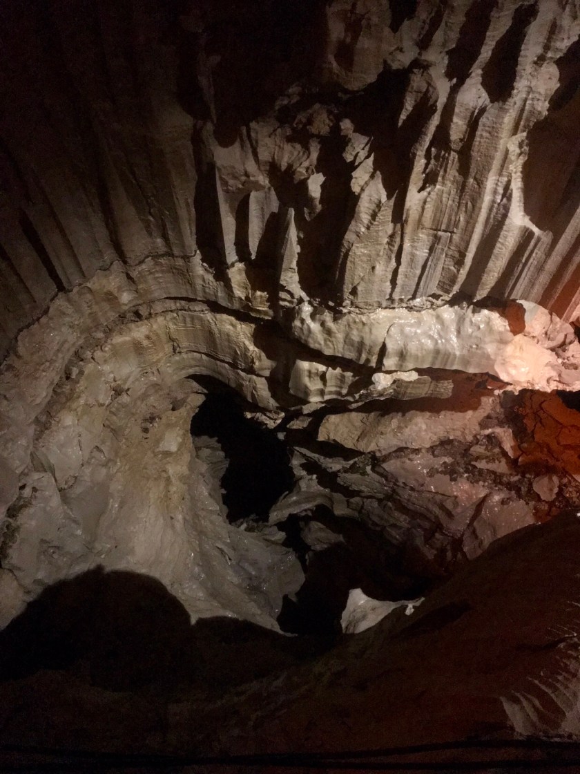
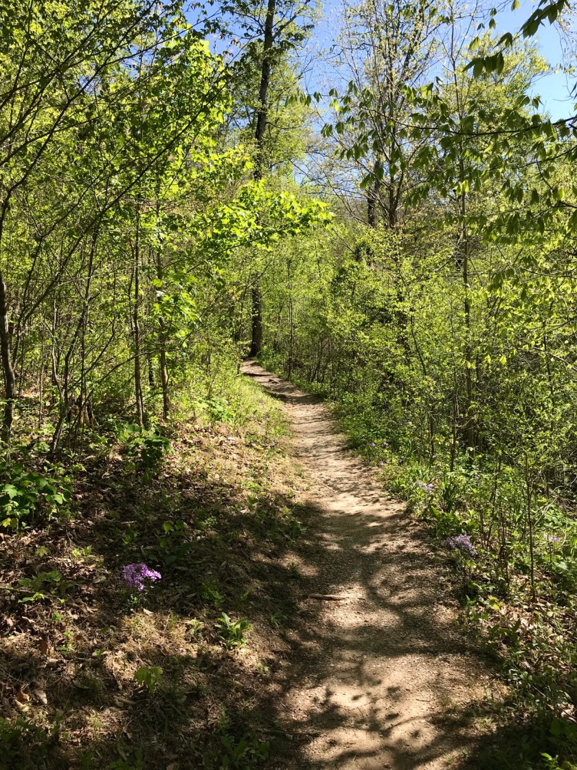
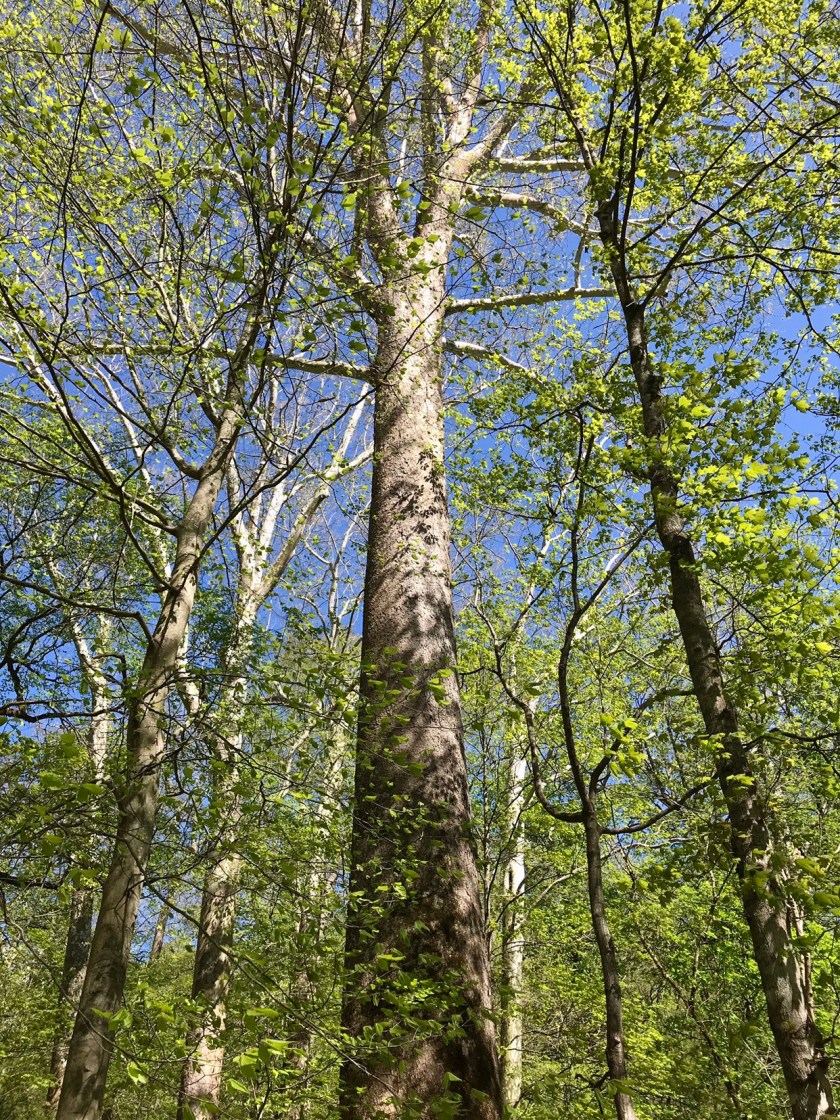
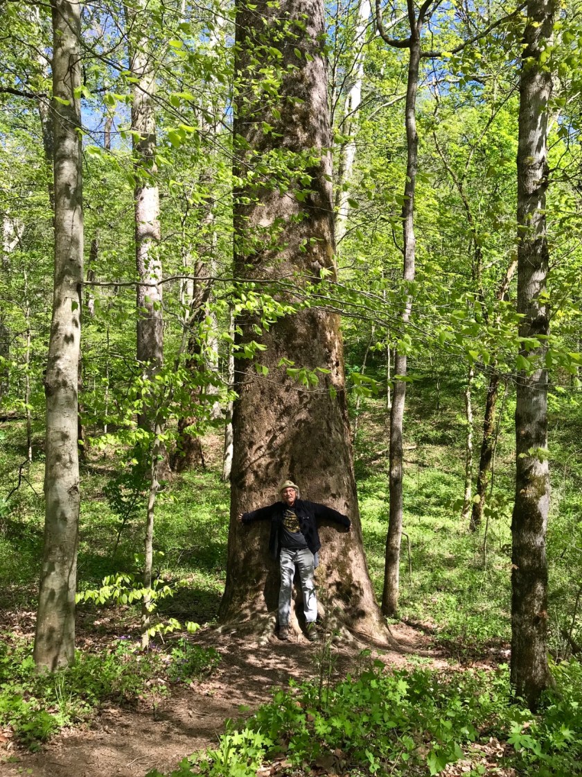
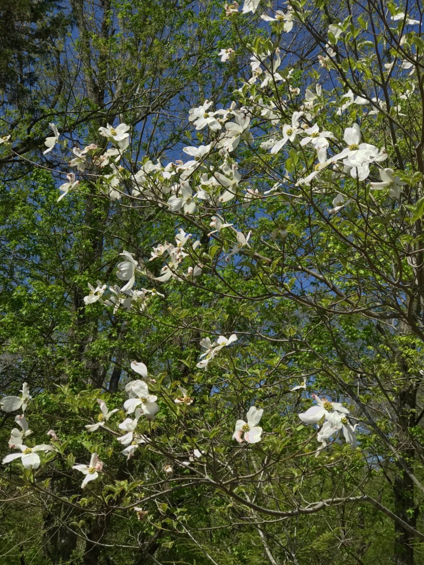
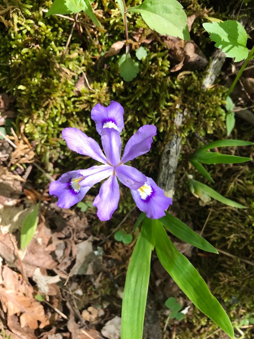
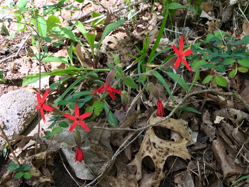
 Spring was in full force in the Park.
 We also saw a hatchling Ring Neck Black Snake, at about 3 inches, it is the smallest snake we’ve seen.
 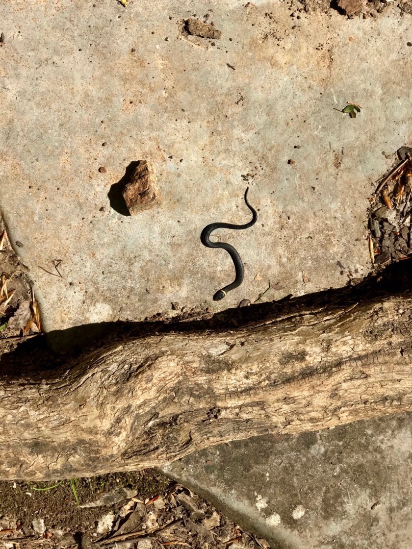 Traveling the back roads of Kentucky you never know what you’ll see.
 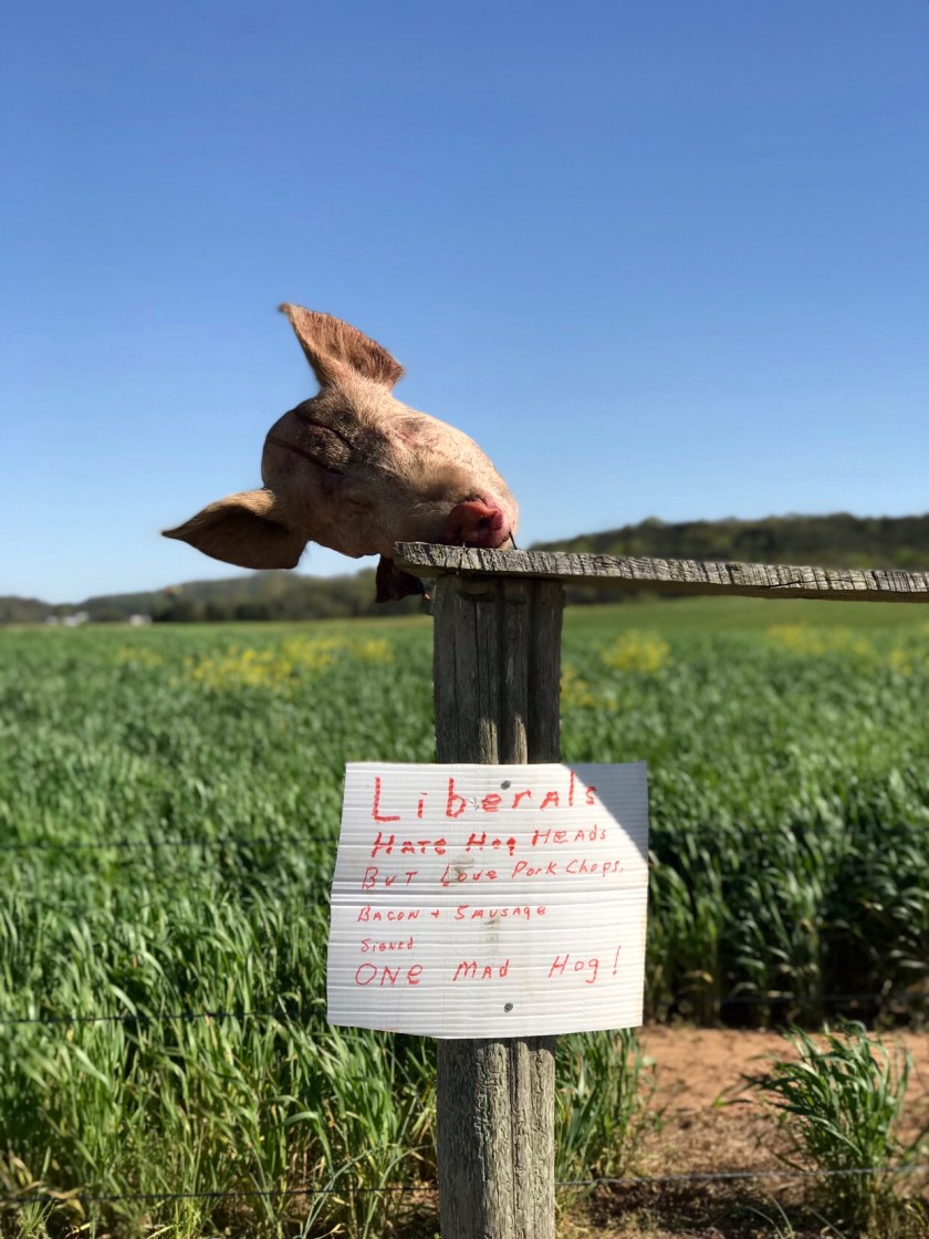 From Kentucky we headed to central Ohio to drop the Tin Can at the Airstream Factory for some end of travels maintenance.
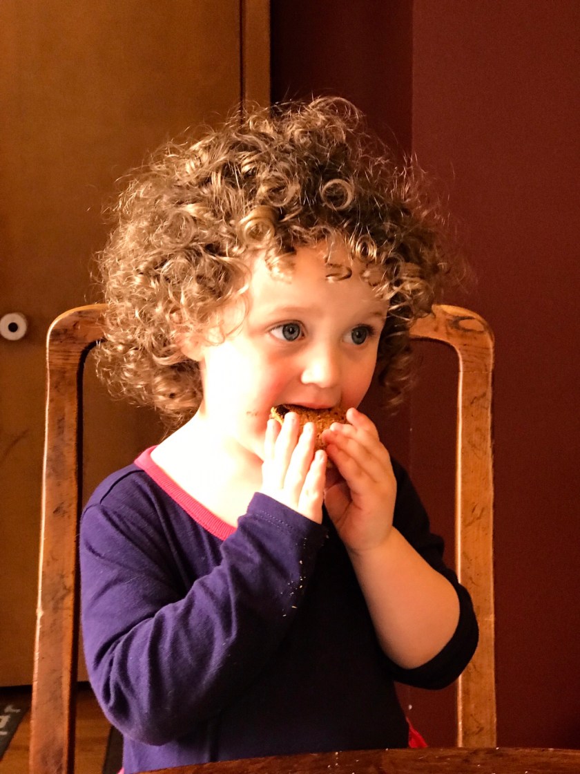
  From Ohio we headed west to Chicago for a week of fun and games with our granddaughter Rebekah.
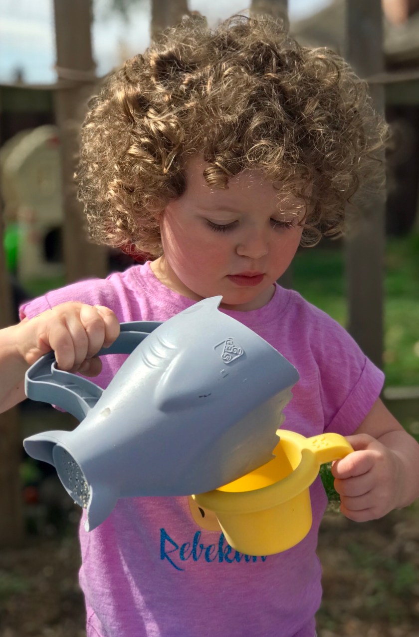

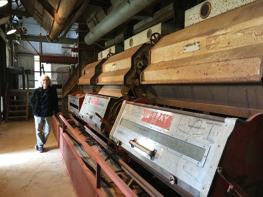 The “Gin”
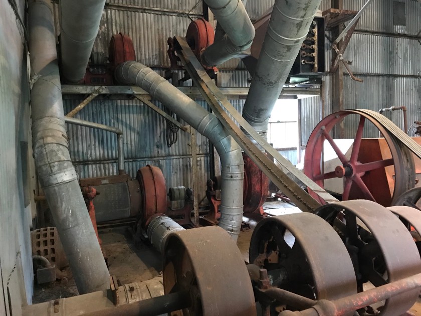
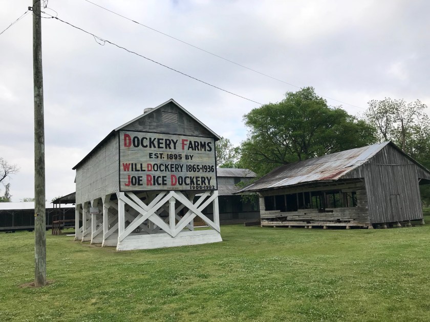
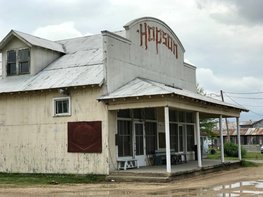 Hopson Farm was one of the first farms in the Delta to fully mechanize the planting and harvesting of cotton. Pianist Pine Top Perkins drove tractor at Hopson’s. It’s said that he taught Ike Turner to play while at Hopson. After mechanization many musicians left the Delta and made their way north.

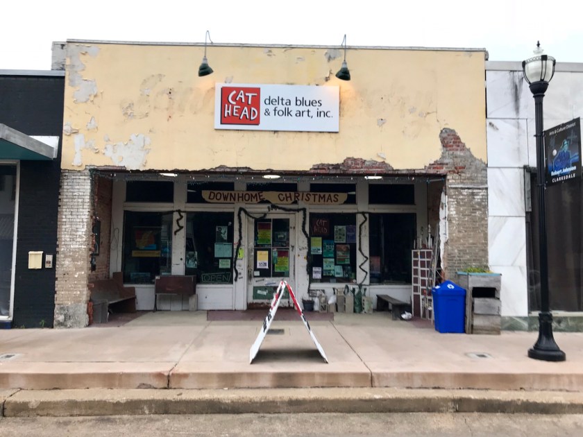 Cat Head Records and folk art shop is a hub of activity. The owner Roger Stolle works very hard with the community to promote the blues to visitors and locals alike. They sponsor a juke joint festival the second weekend in April.

 Clarksdale boasts having the Delta Blues Museum. This has been an ongoing project that works hard to promote and preserve the collective memory of the blues.
 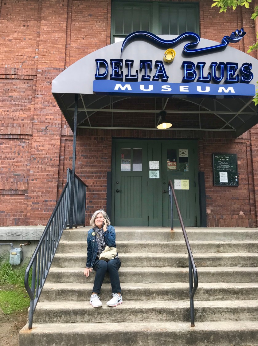 Sorry, no photography allowed in the museum. They were pretty adamant about it. They have a great collection of memorabilia which includes Muddy Waters shack from the Stovall Plantation. The shack was where Alan Lomax first recorded Muddy in the early 1940’s.
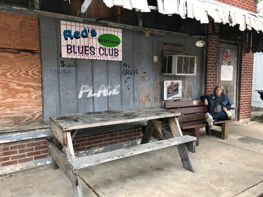
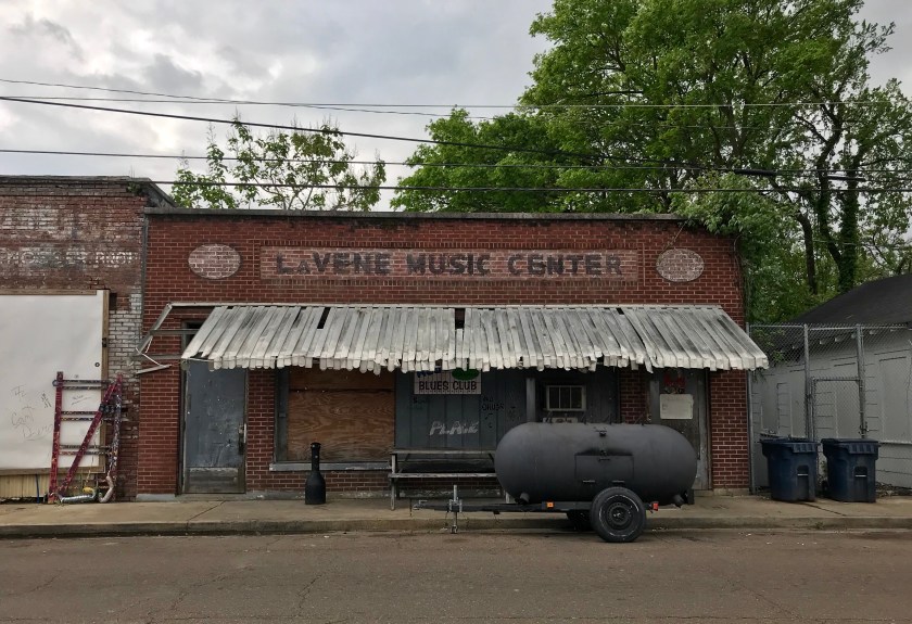 No trip to Clarksdale is complete with out a trip to a juke joint. We chose Red’s Lounge to listen to Anthony “Big A” Sherrod and Allstars.
 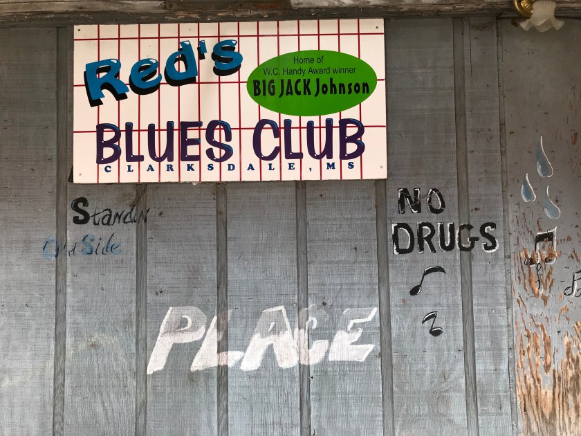 Red’s can hold maybe fifty people and it was packed the night we where there. The patrons were a mix of locals and out of town folks. The band was excellent.
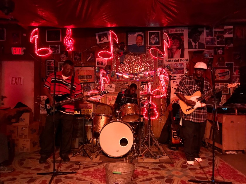
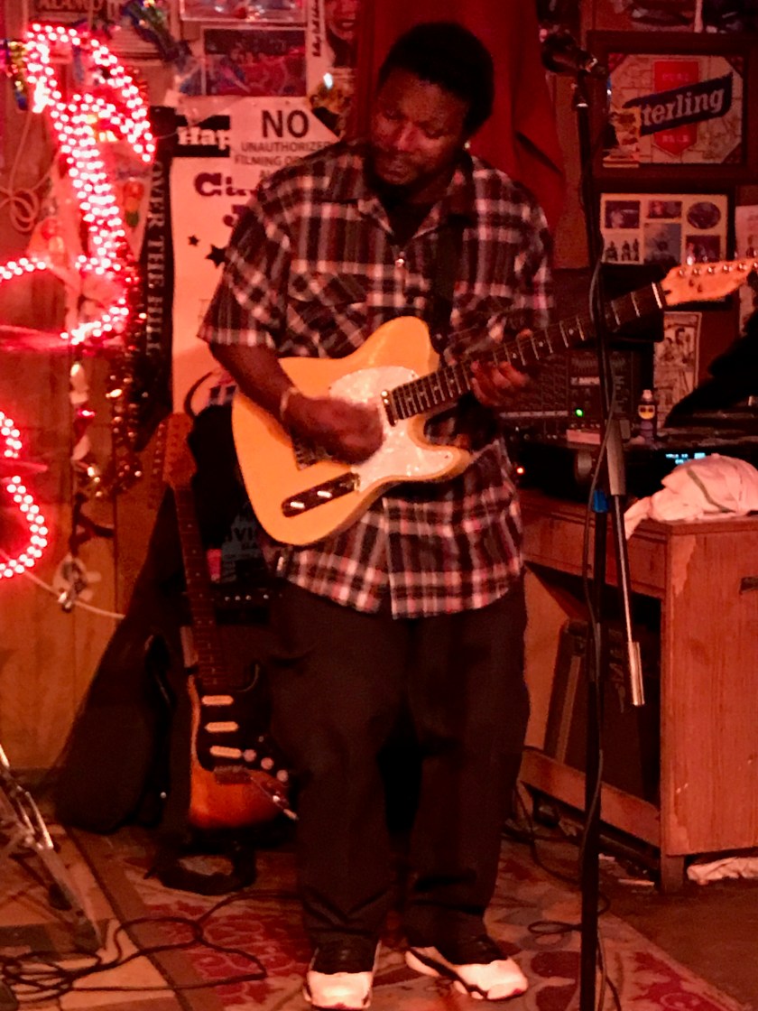
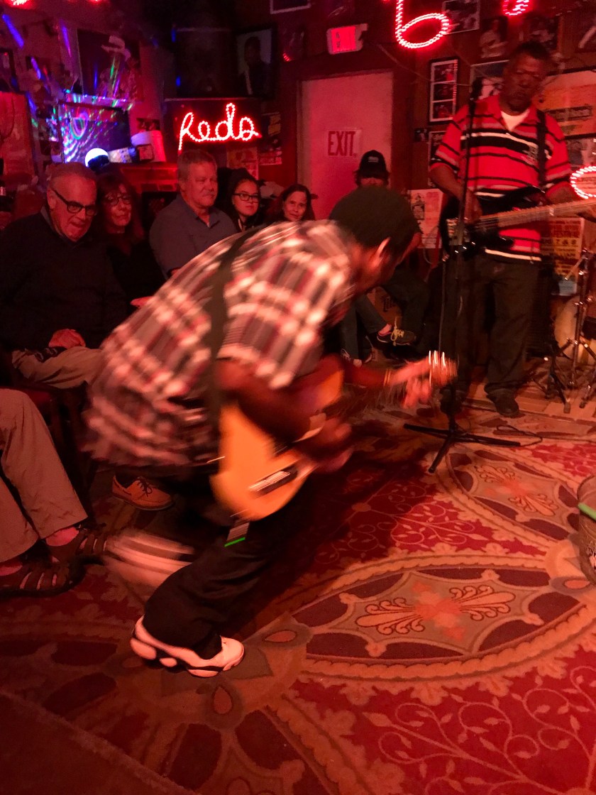 It was a fun evening.
 While the Delta area is still mired in poverty, there are lots of entrepreneurs looking to improve the quality of life. There is an after school arts program and coffee roaster that employs local young people and decorates the town with art. New and old restaurants share the clientele that the Blues Trail promotions have brought.
 And of course–
 just outside of town — the Crossroads