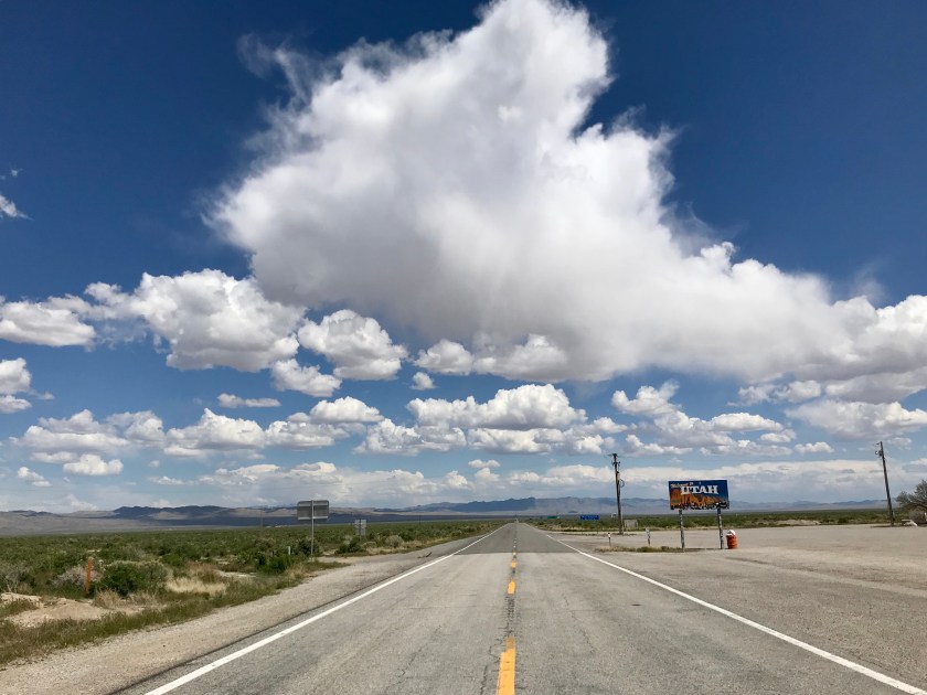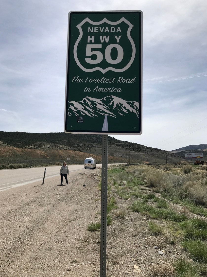
Highway 50 runs through the middle of Nevada to the Utah border. The Highway starts in Carson City and passes through five towns (two have gas stations) before leaving the state. As a result the road has earned the title of “Loneliest Road in America “.
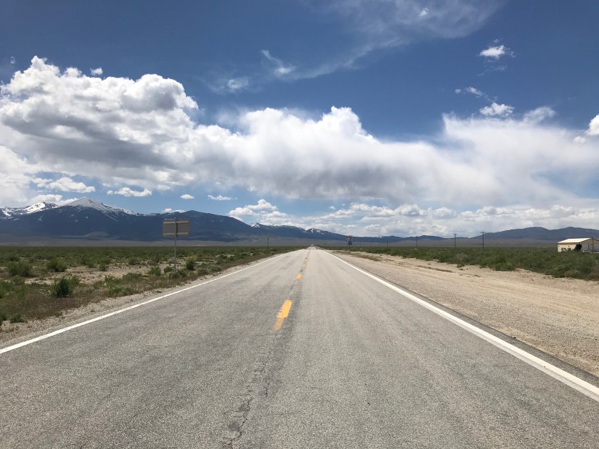
We took our time moving through Nevada, being sure to top off our gas tank whenever possible. These small towns had their heyday in the late 1800’s during the area’s mining boom. The town of Eureka at its height had population of approximately 8,000 people, currently about 600 people live there.
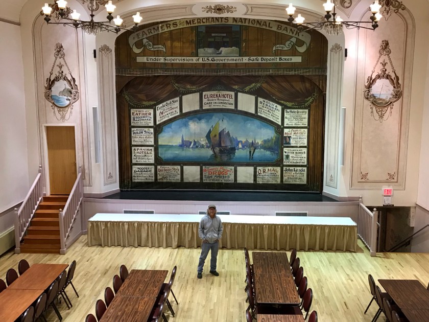
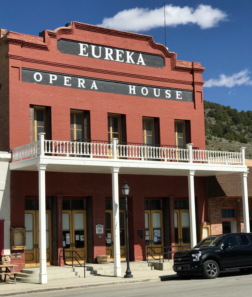 Opera was how miners entertained themselves in the 1800’s
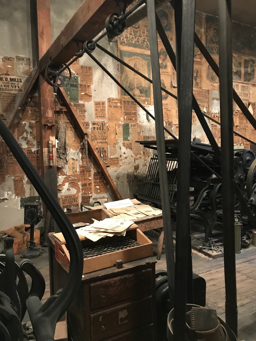
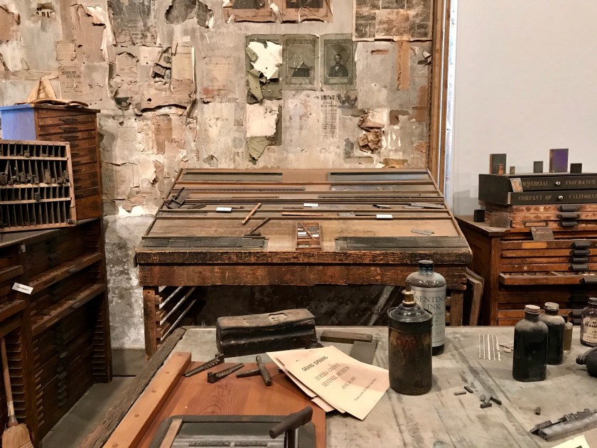
At one point in it’s history Eureka had a daily newspaper. It’s former home is now a museum which documents the the town’s history including the newspaper’s.
 The only remaining 5 hole outhouse in Nevada.
Our next stop was in Ely – one of the larger towns on the highway, population 4,060. We set up camp just outside of town at the Ely KOA.
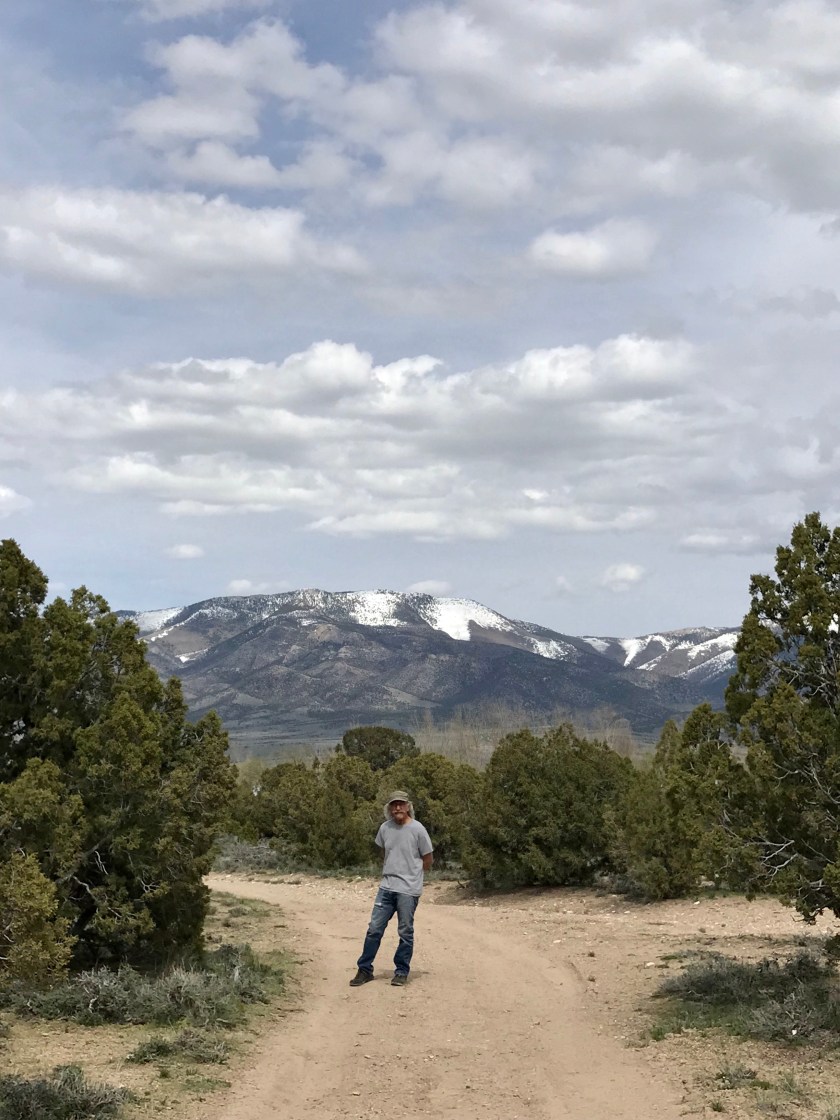
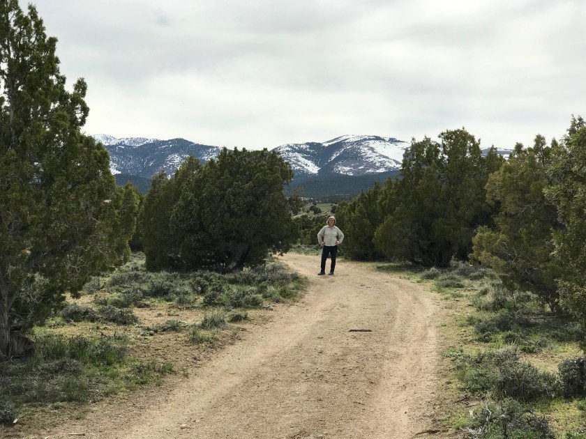
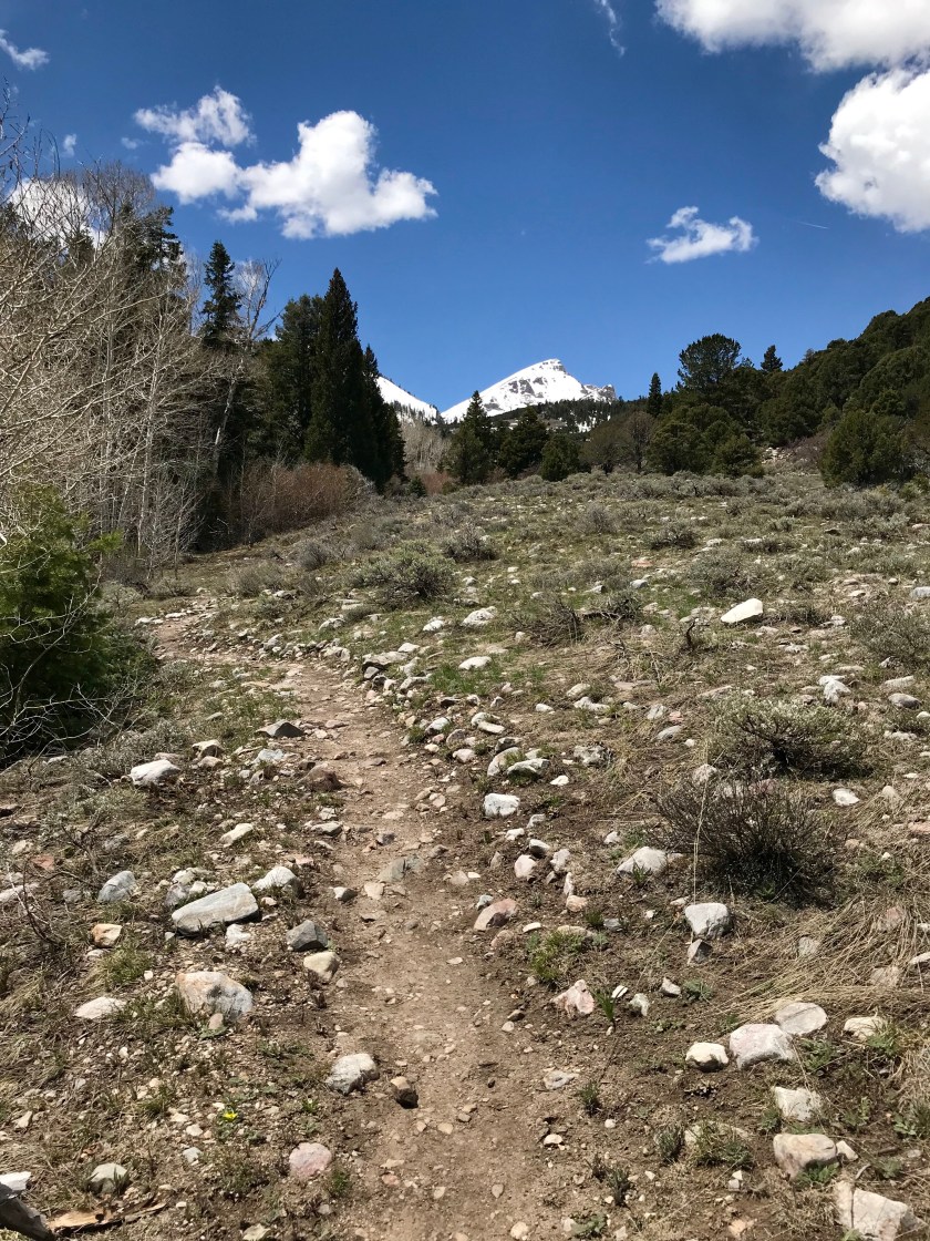
The KOA was surrounded by mountains with miles of trails to explore.

We spent a few nights on the road and met lots of friendly locals and fellow travelers. Our main goal was a visit to Great Basin National Park. We arrived on a Saturday and set up camp just outside the Park in the town of Baker, population approximately 385.
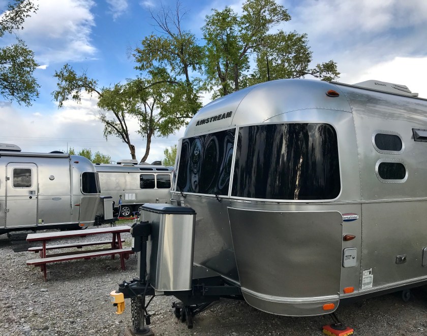 The Tincan made some friends in Baker.
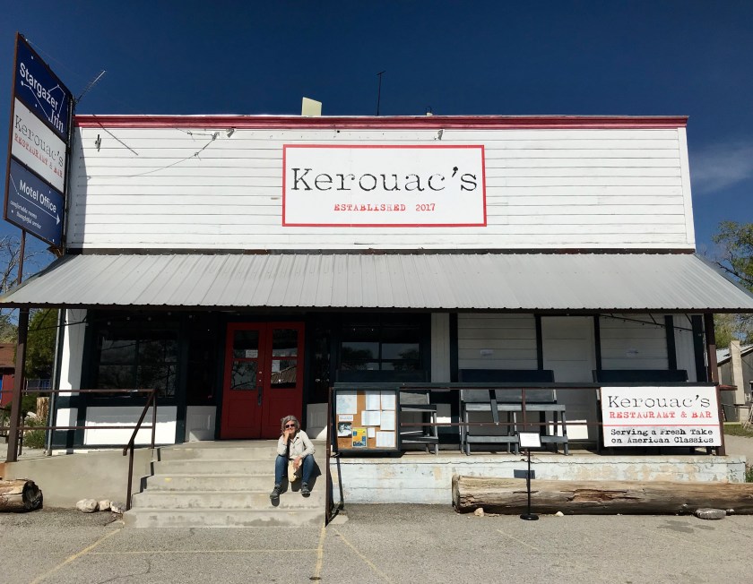 Where else would you eat when your on the road? The food was excellent.
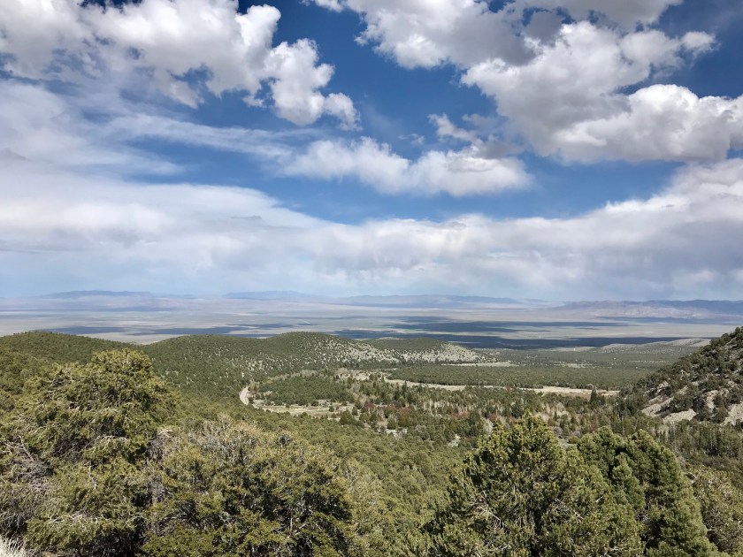
The Great Basin is one of four deserts in the US, the driest (an average of 10 inches of rain a year) and highest (5,000 plus ft in the valleys) it extends from the California border in the West to the Wasatch Mountains in Utah to the East. It stretches North into Oregon and South below Las Vegas with the mountains getting as high as 13,000 ft.
The Basin began life as a large shallow lake 500 million years ago. 40 to 20 million years ago volcanoes erupted spewing lava and ash throughout the Basin. Over the past 25 million years the Basin has stretched 50 miles East to West thinning and cracking the Earth’s crust. This resulted in North-South faults with uplift along these faults forming a series of mountain ranges and basins.
Great Basin National Park is home to two groves of ancient bristlecone pines. They grow at an altitude of 10,000 ft and with snow still deep and the last six miles of road to the trailhead closed-we had to content ourselves with this example in the visitor center.
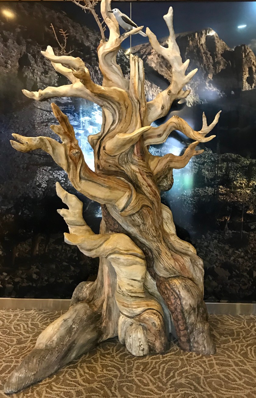
Bristlecone pine is among the longest lived life forms. Some trees live thousands of years, the oldest being 5,000. We hope to go back some autumn to see these elders in their home.

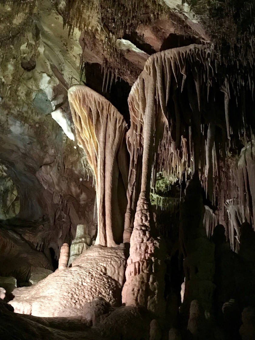
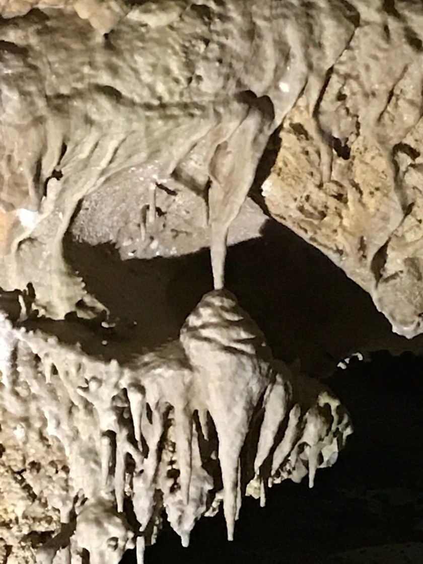
The other big attraction @ the Park is the extravagantly decorated Lehman Cave. We signed up for a tour. The cave was unusually wet this year and the formations were glistening.

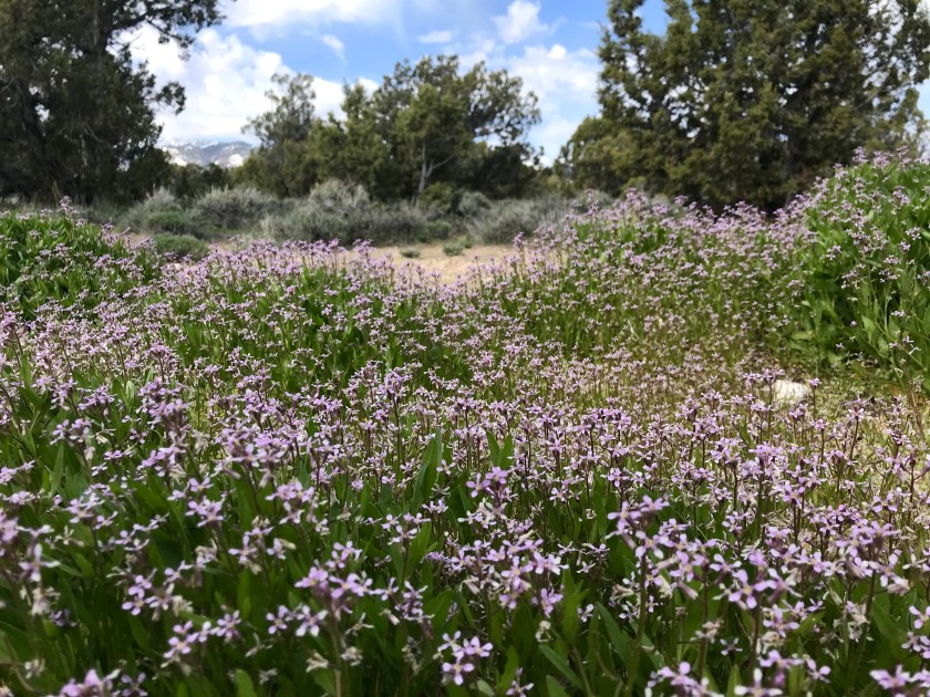
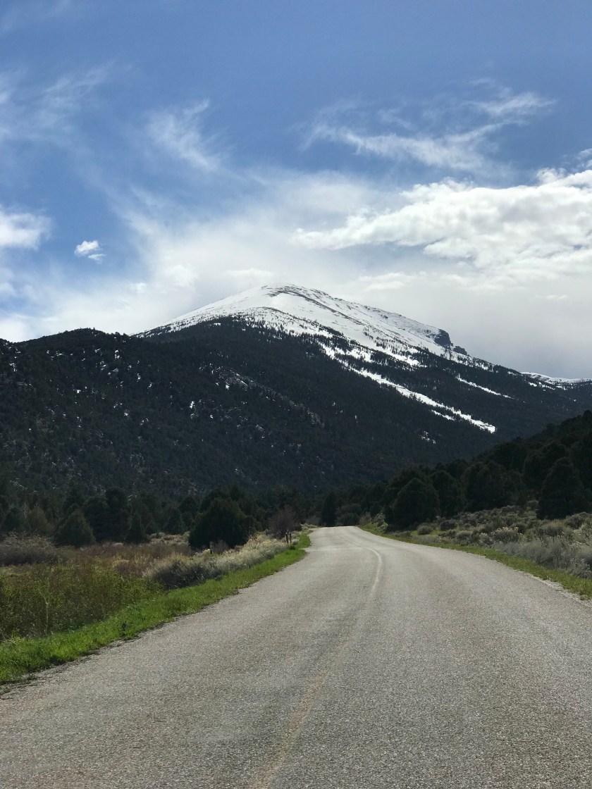
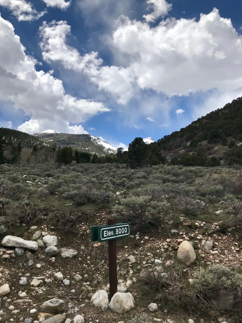
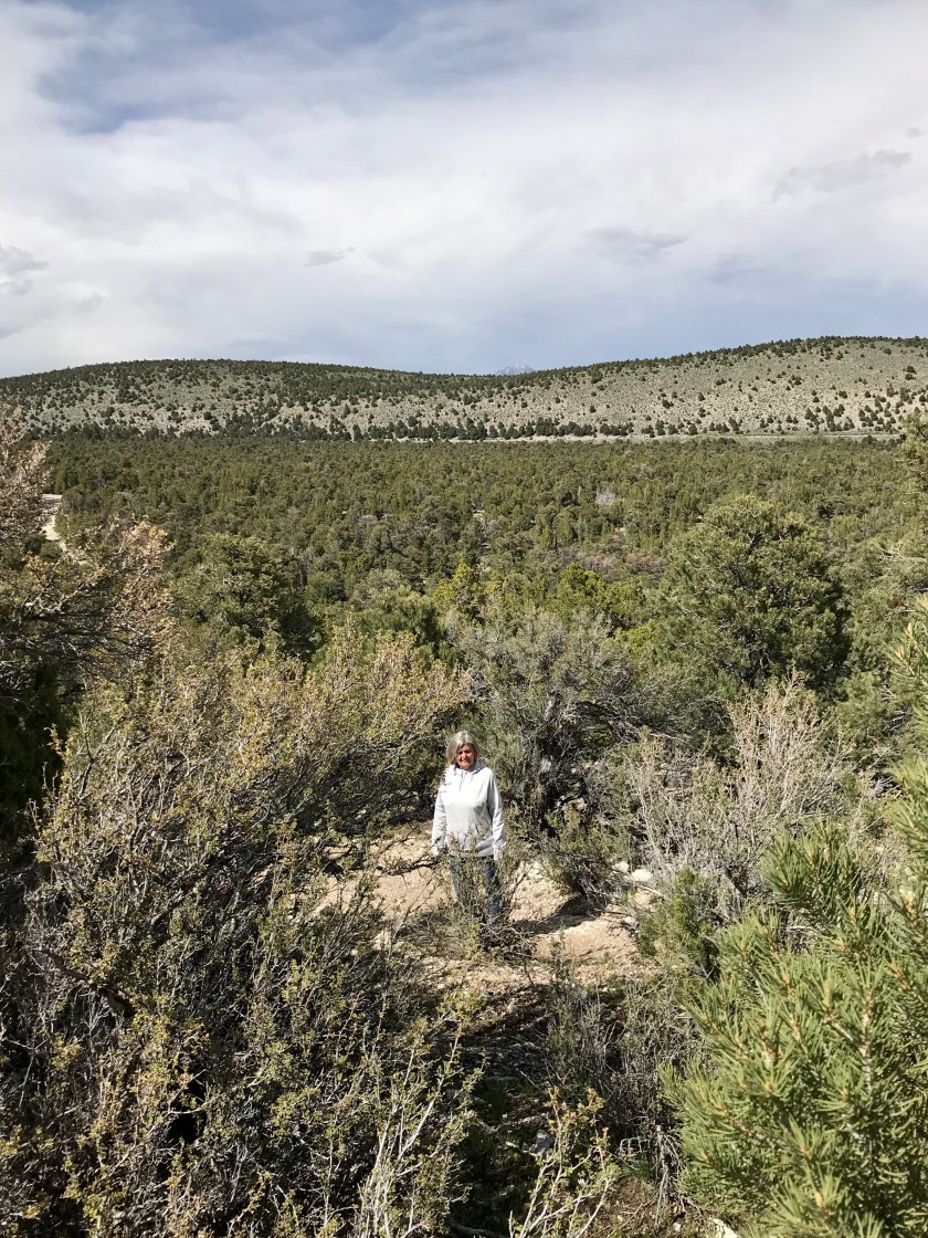
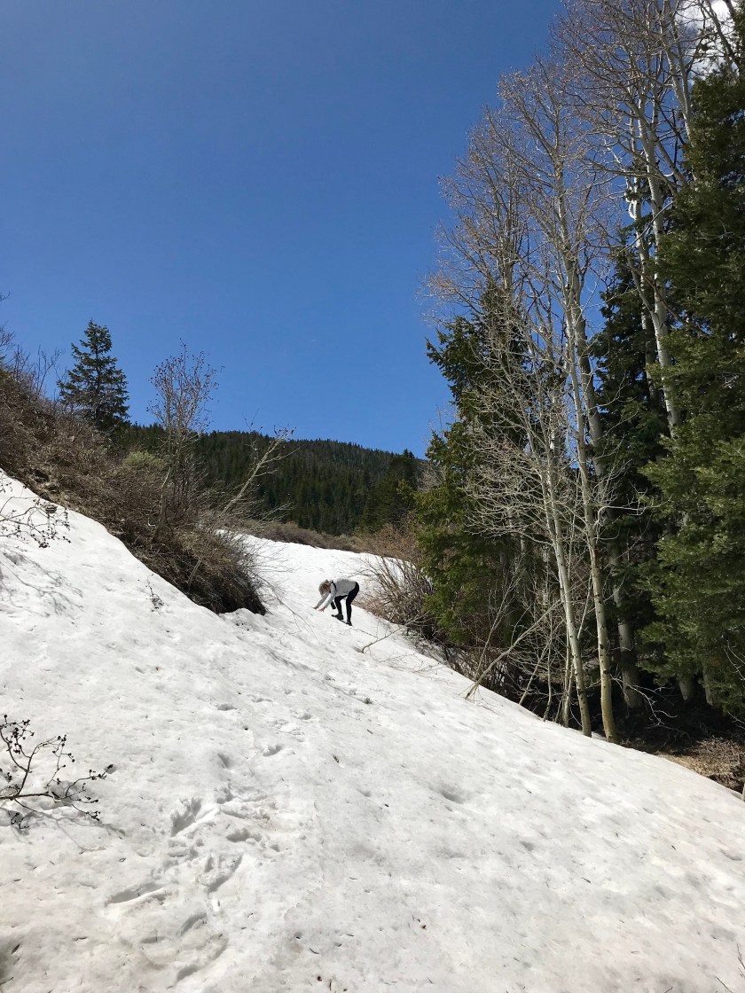
In spite of the snow we did manage to get some hiking done.


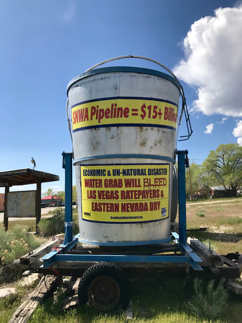
The Great Basin gets water from snow melt that percolates to an underground aquifer or runs to low spots in the landscape. It doesn’t leave the Basin via rivers or streams. Residents have been in a decades long fight to keep their water local.

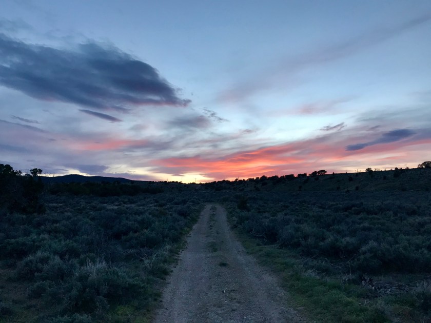
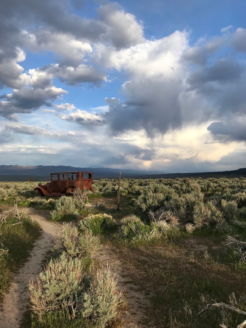
The sun sets on the Great Basin and we continue East.