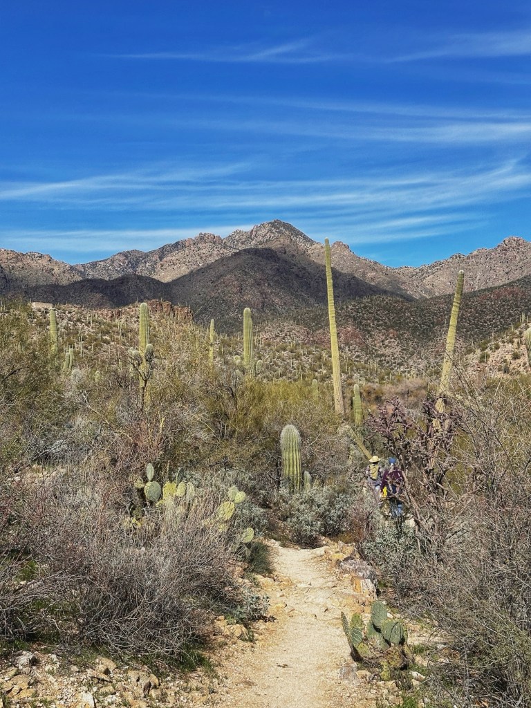
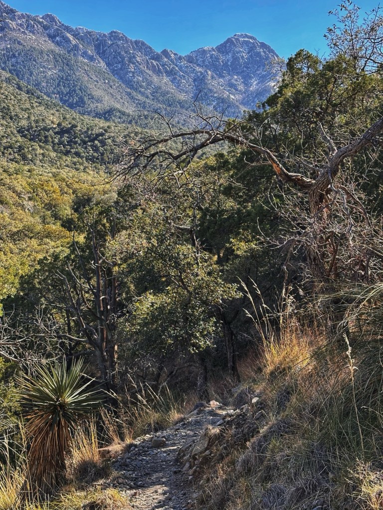
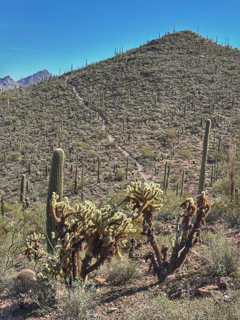
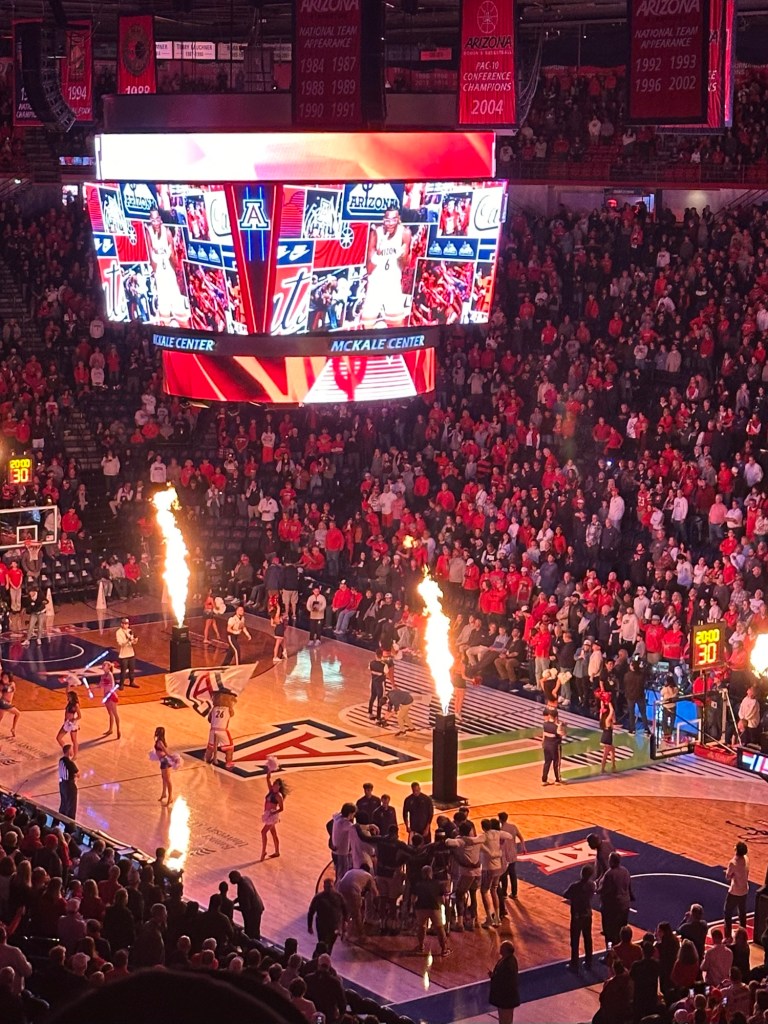
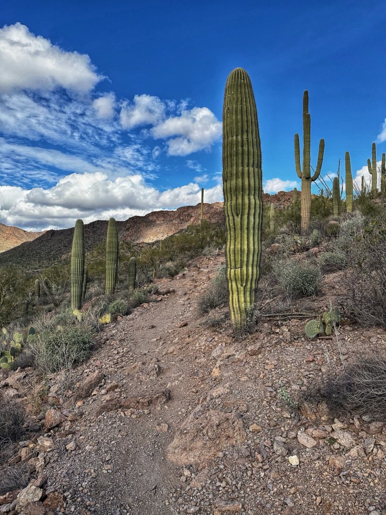
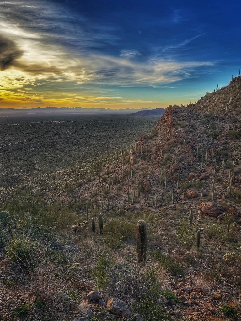
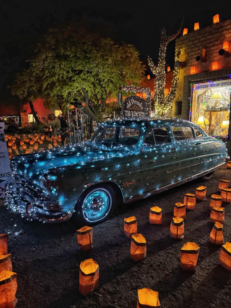
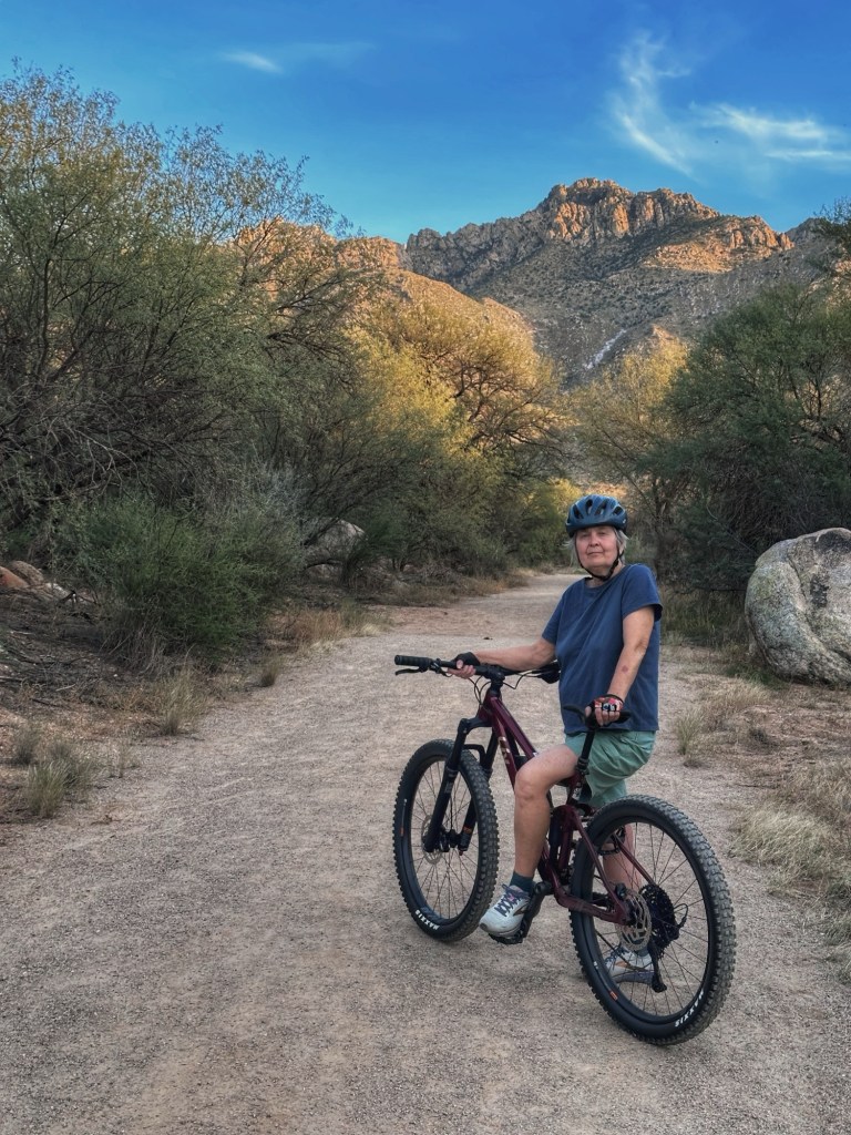
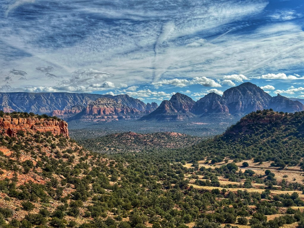
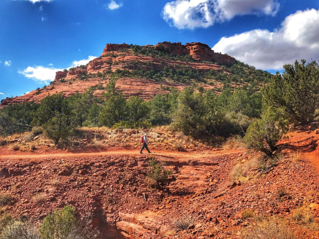
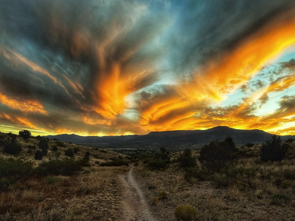
While in Tucson we attended a Film Festival that offered a film of Bob Dylan performances from throughout his career. The footage was part of the Bob Dylan Center’s archive. The Center is located in Tulsa Oklahoma next to the Woody Guthrie Center. After the film the Center’s director talked about the archive and its offerings. Our interest was piqued so we changed our route east and stopped in Tulsa for few days.
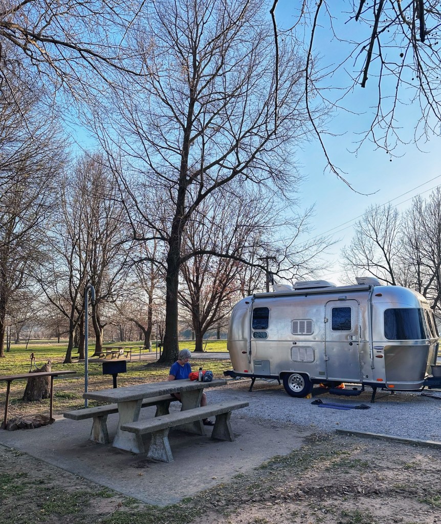
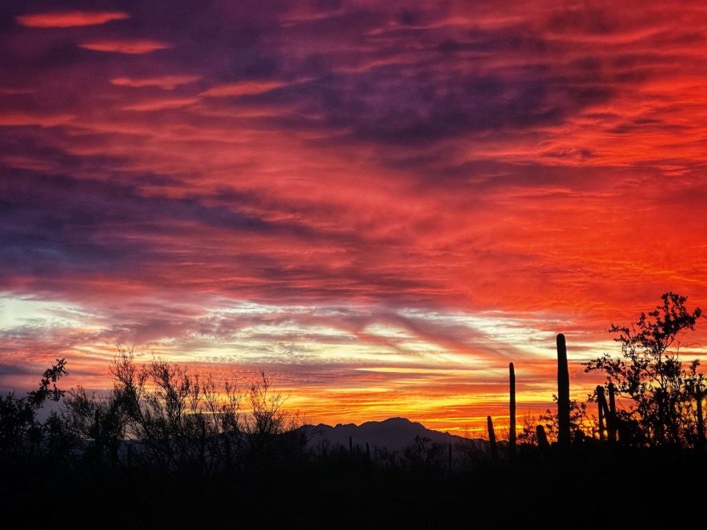
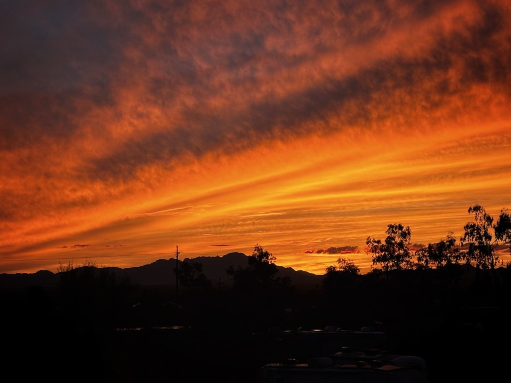
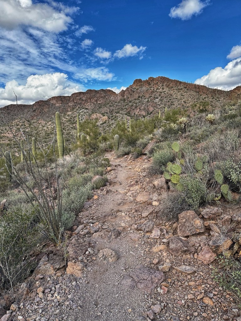
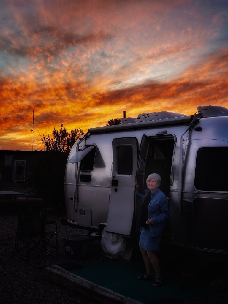
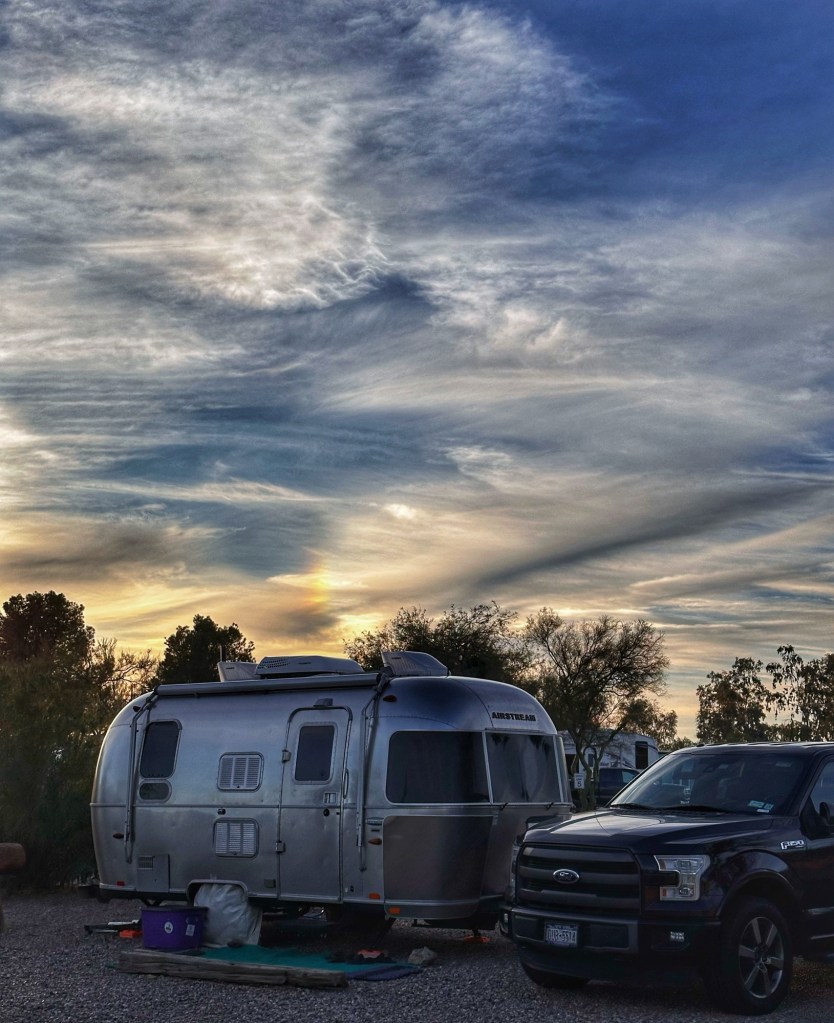
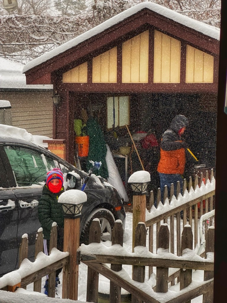
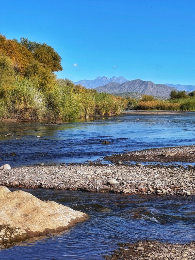
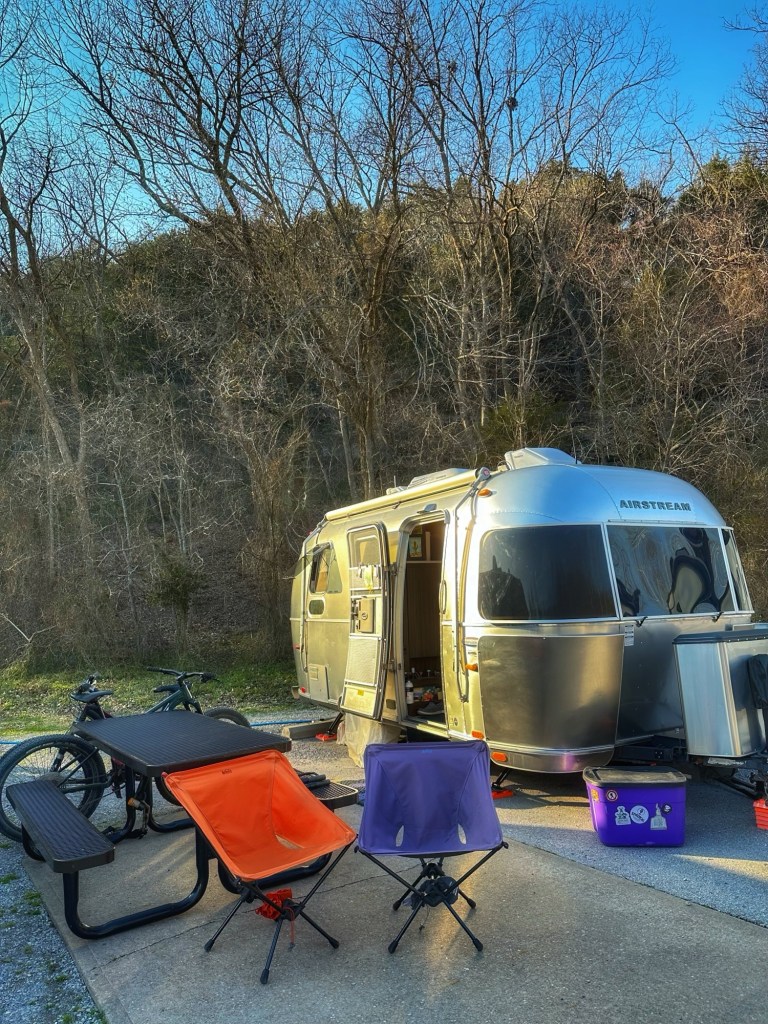
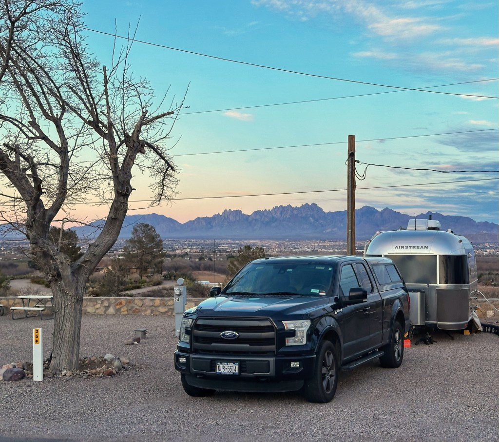
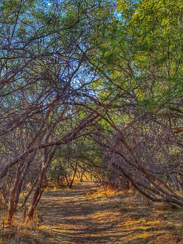
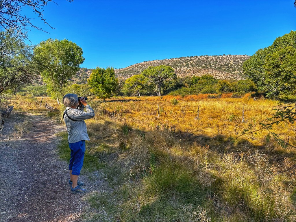
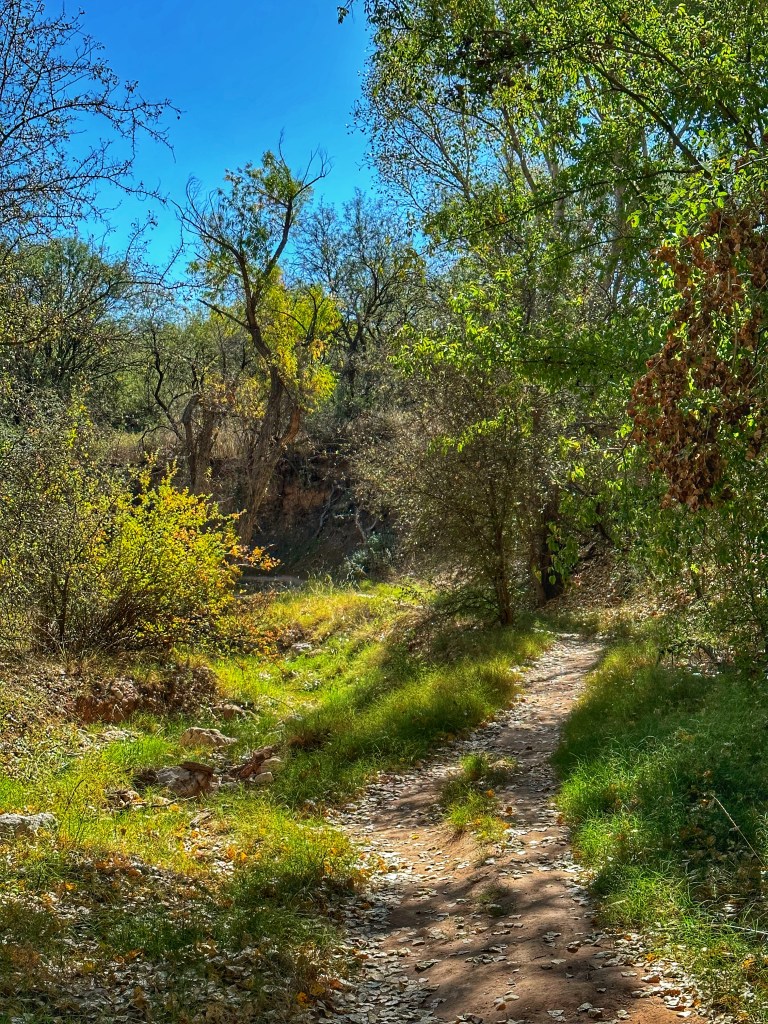
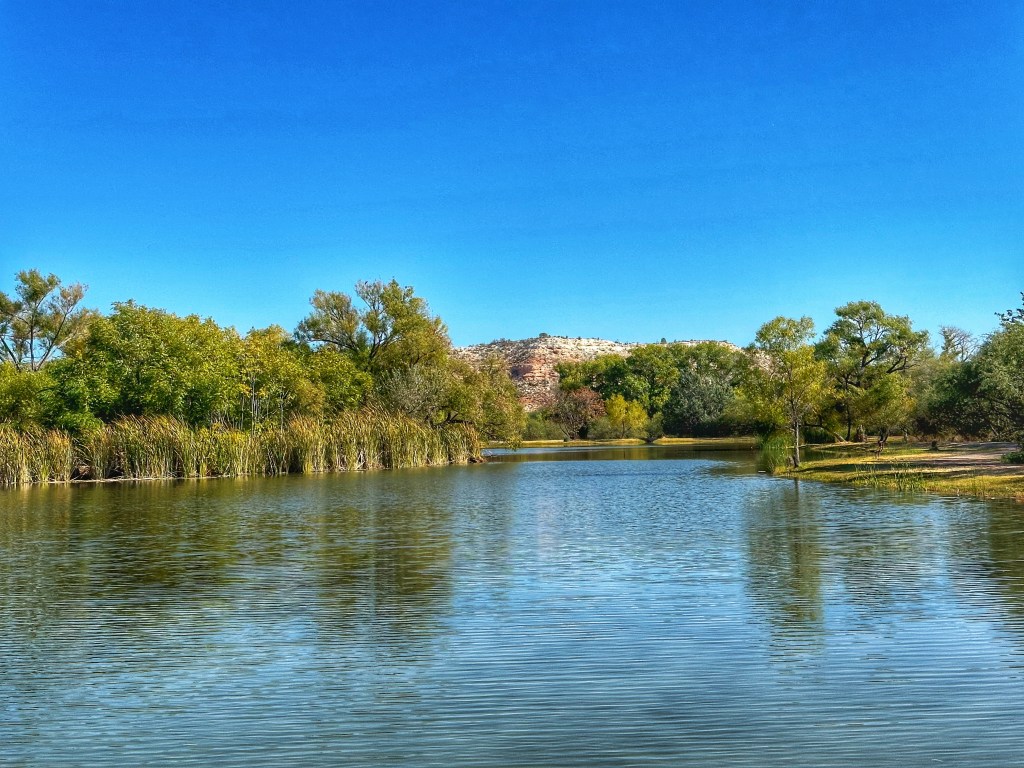
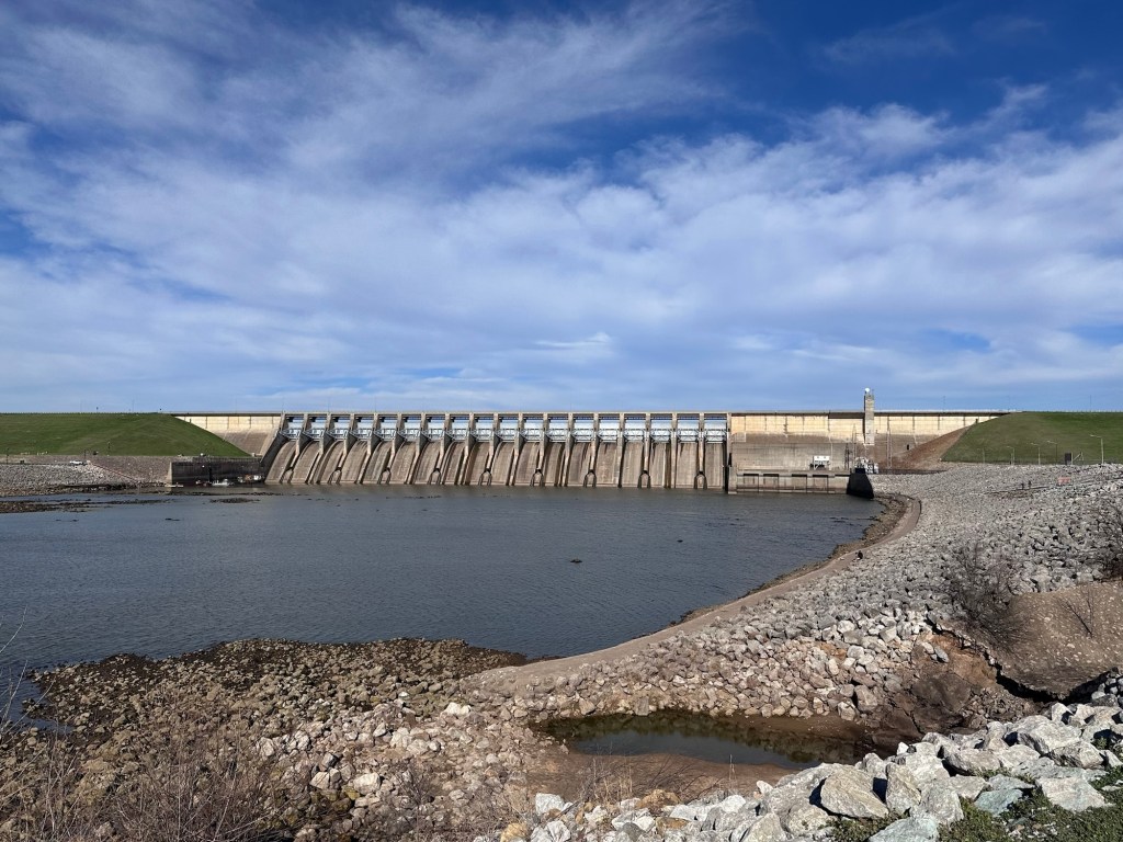
We secured a camp site at Brush Creek Public Use Area. The campground is part of an Army Corps of Engineers project that created Keystone Lake.
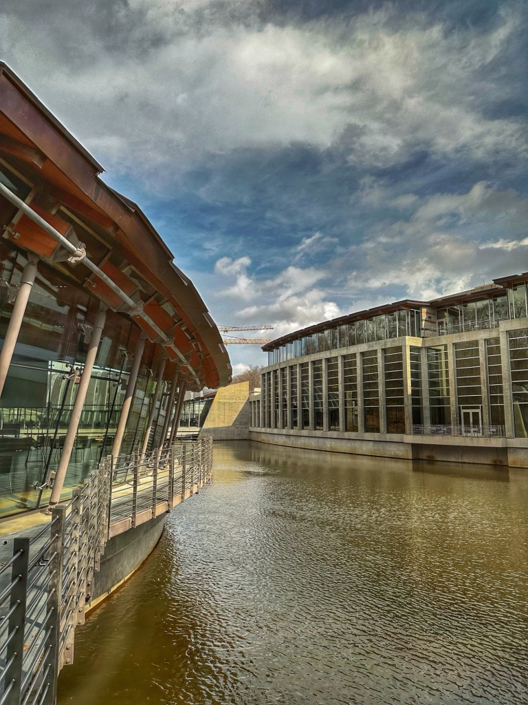
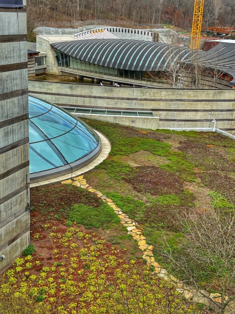
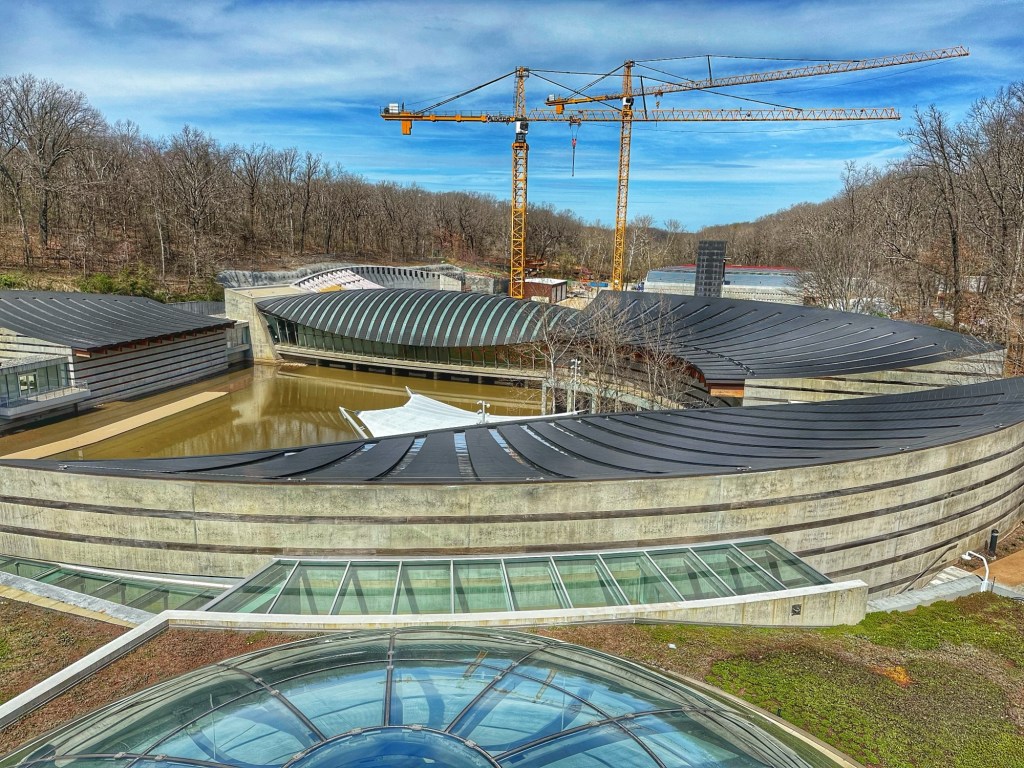
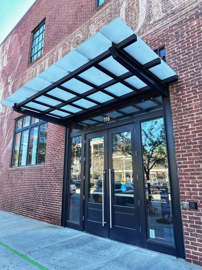
The Guthrie and Dylan Centers are located in downtown Tulsa, about a 20 minute drive from our campsite. Both centers are located in the same building with different entrances.
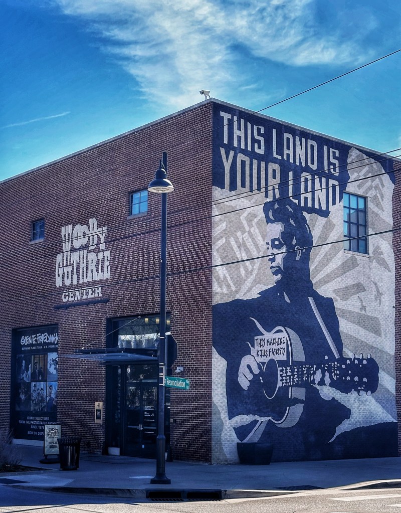
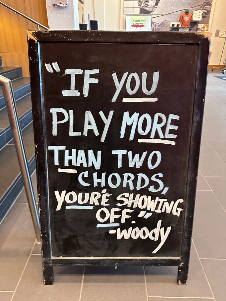
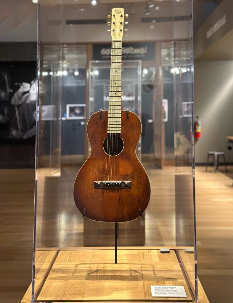
We started in the Guthrie Center unsure of how much time it would take to work our way through the collection.
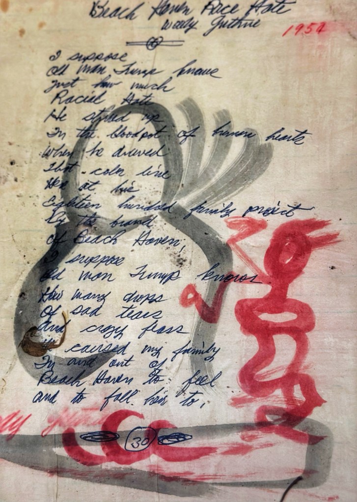
The Center displayed a number of lyric sheets in Woody’s hand. This one is about Fred C. Trump’s (Donald’s father) racist housing policies.
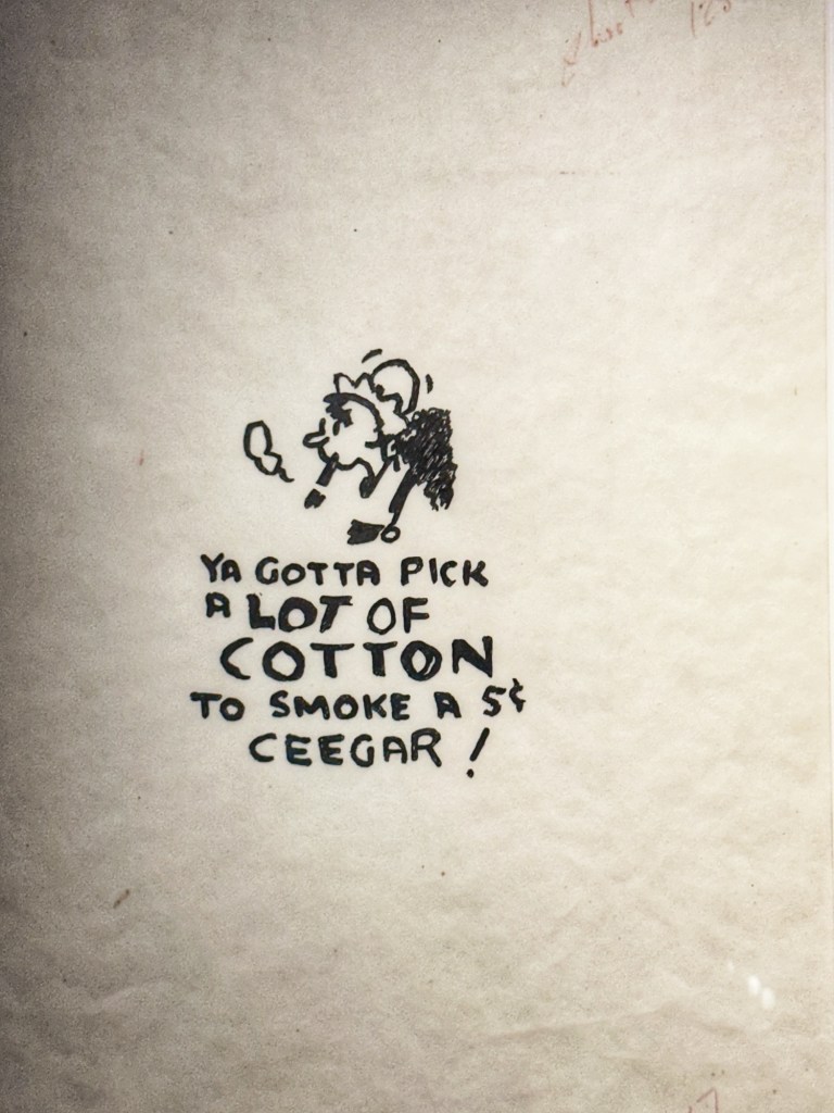
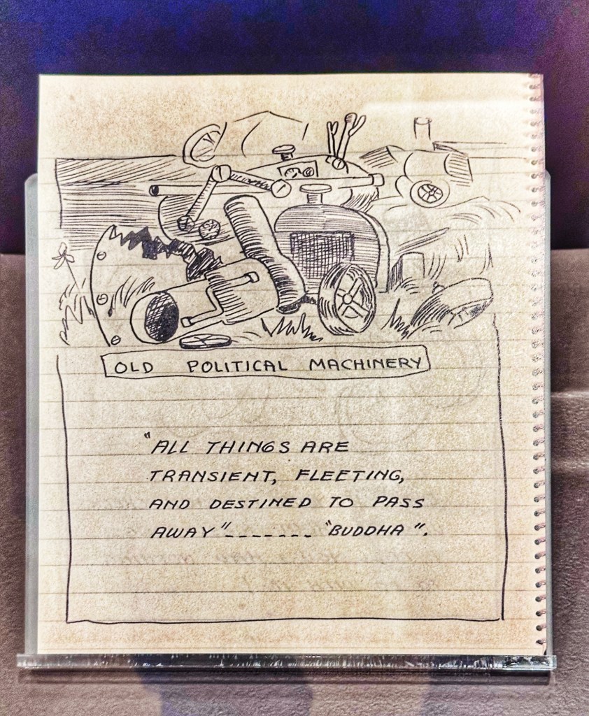
A number of Woody’s drawings were also displayed.
We spent about 2 hours with the exhibits and artifacts and felt we got to know Woody as a person and performer.
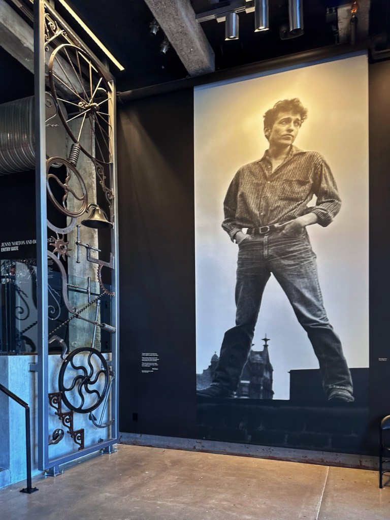
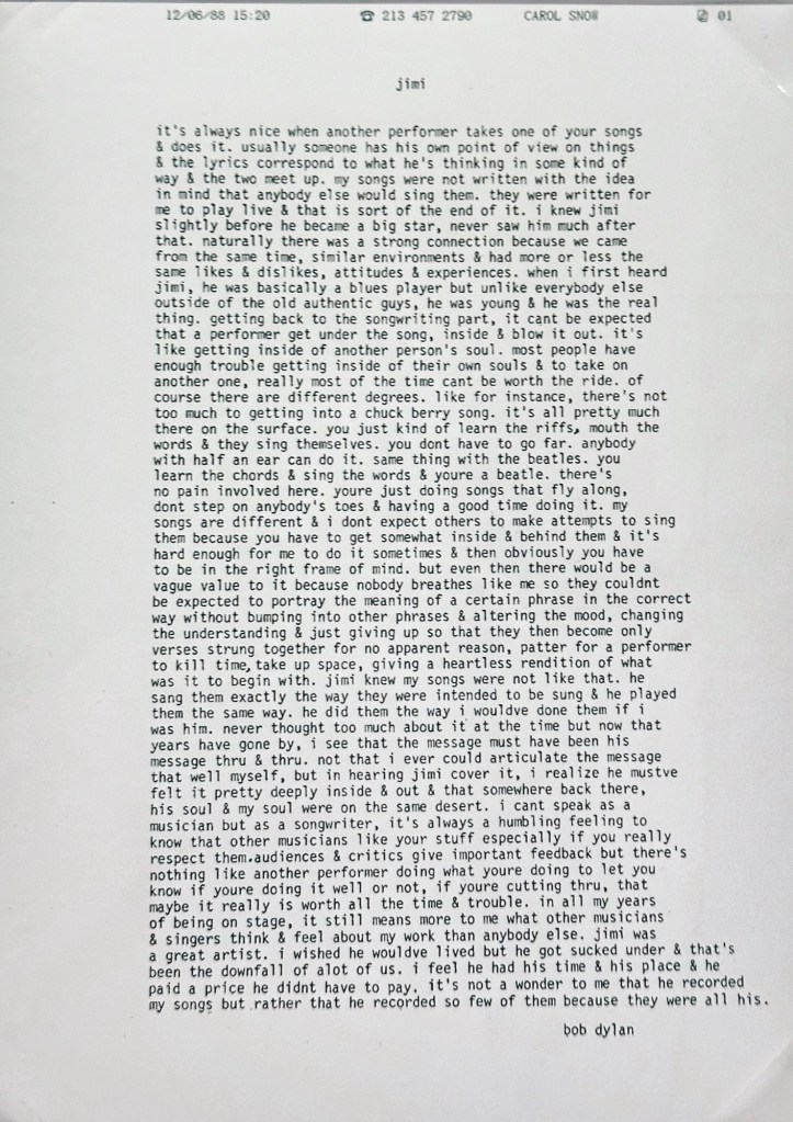
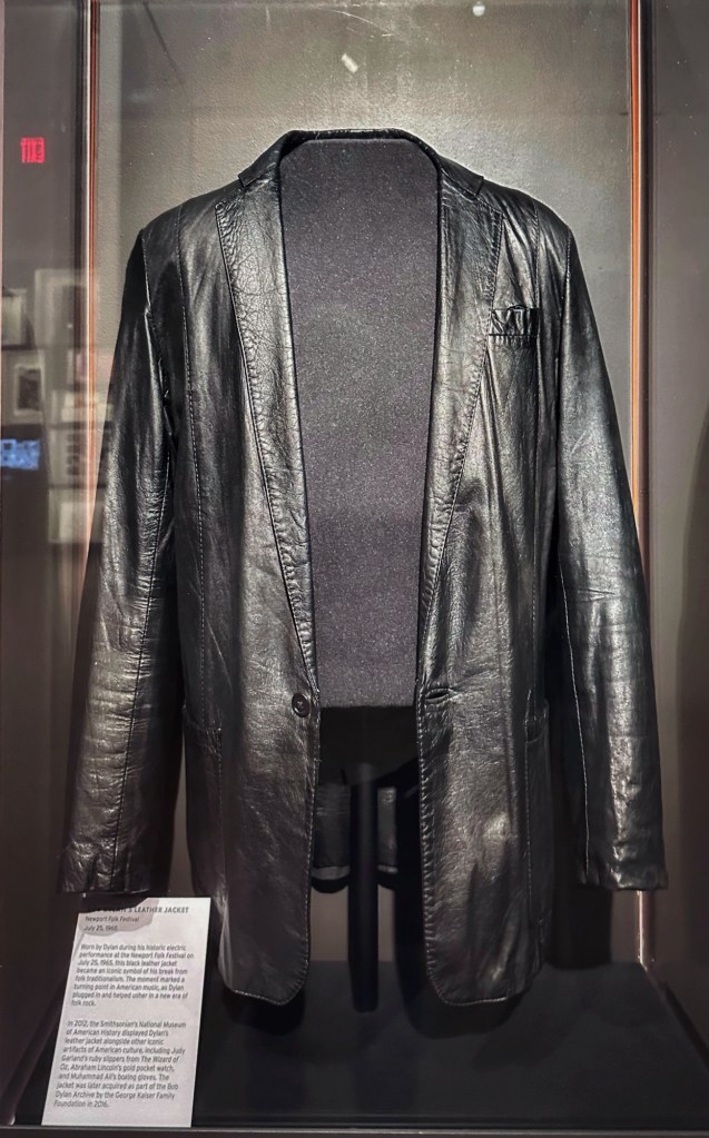
Dylan was a bit of a pack rat and saved everything. From notebooks, letters, and Christmas cards. The center is two floors and full of all things Bob Dylan. As you enter you are greeted by a larger then life portrait of a young Dylan next to a metal sculpture of his making.
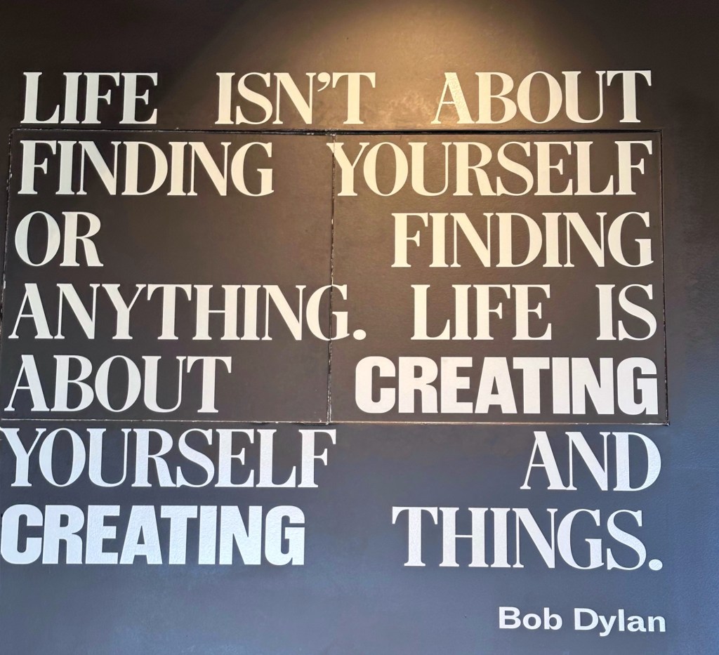
You are provided with headphones and transponder to use while exploring the collection. There is lots of audio and film throughout the center. To hear and see everything takes awhile. We spent five hours and didn’t get bored. 
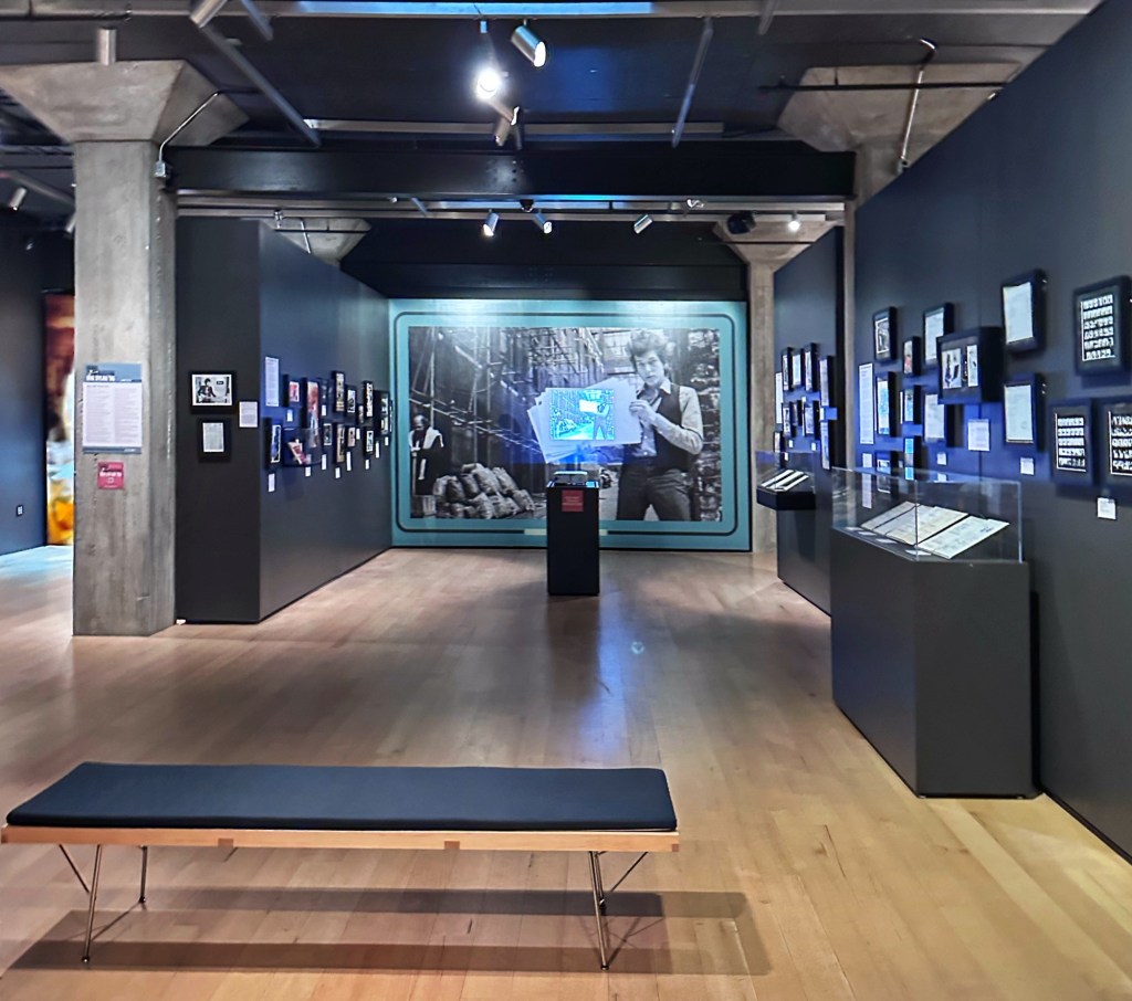
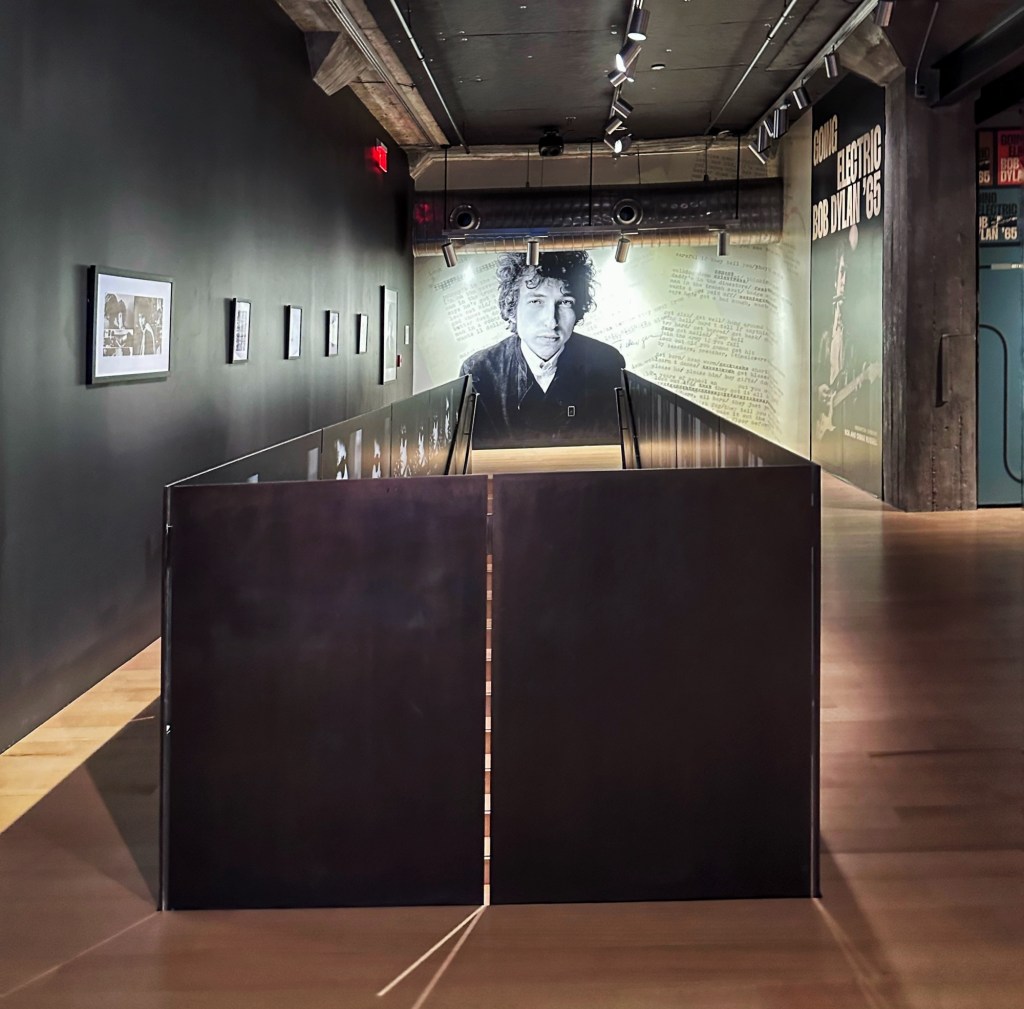
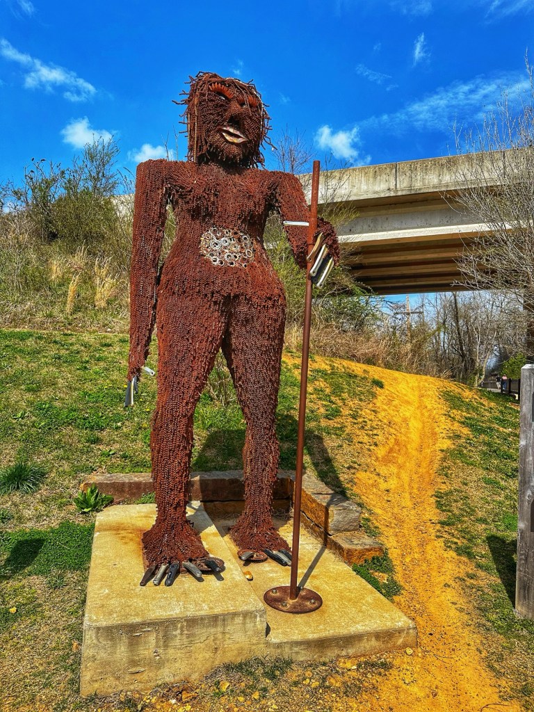
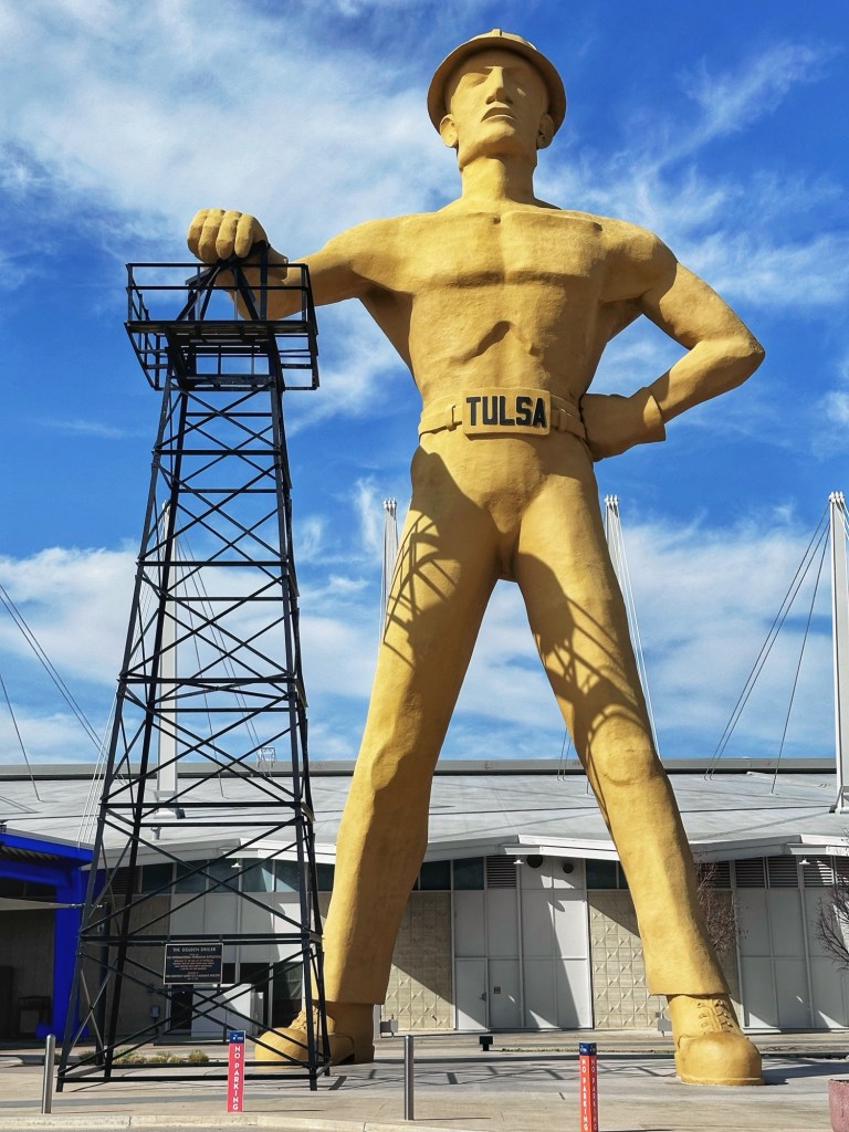
The exhibits span the entirety of Dylan’s life and musical career. Whether you’re a Bob Dylan fan or a Woody Guthrie fan, you owe it to yourself to make a detour to Tulsa for a visit. And while you’re there, you can visit another giant.
Tulsa is also were the Greenwood race riot took place in 1921. The attacks were perpetrated by white supremacists and destroyed more than 35 blocks of the Greenwood District. This was one of the wealthiest black communities in the United States, known as the” Black Wall Street”.
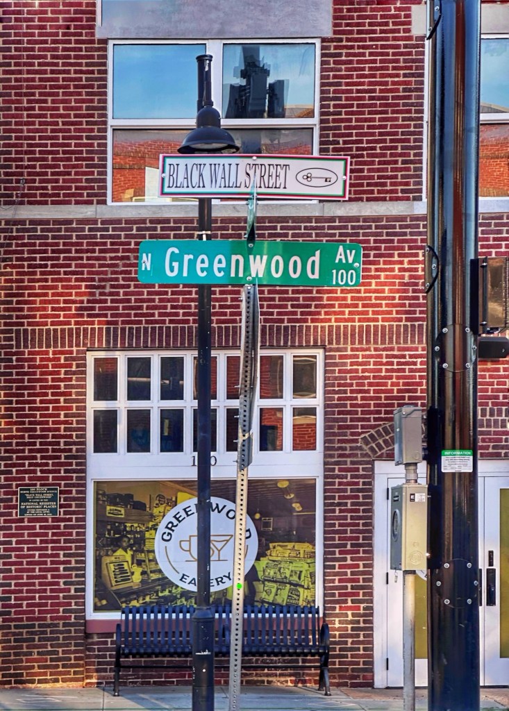
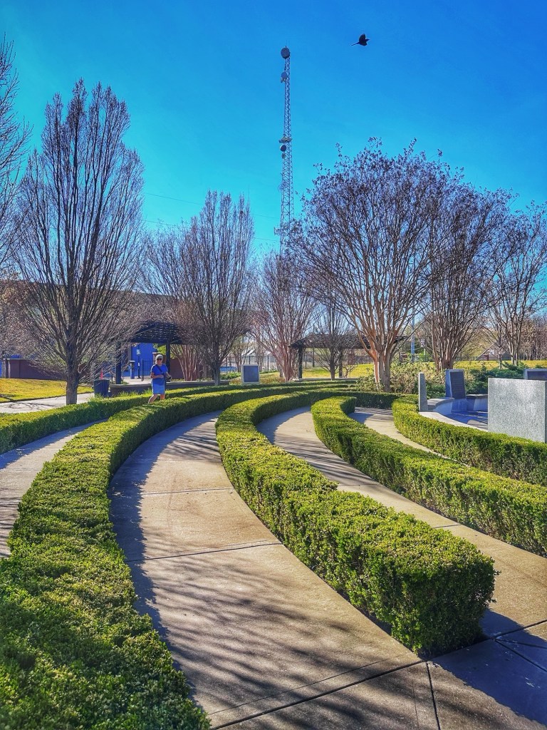
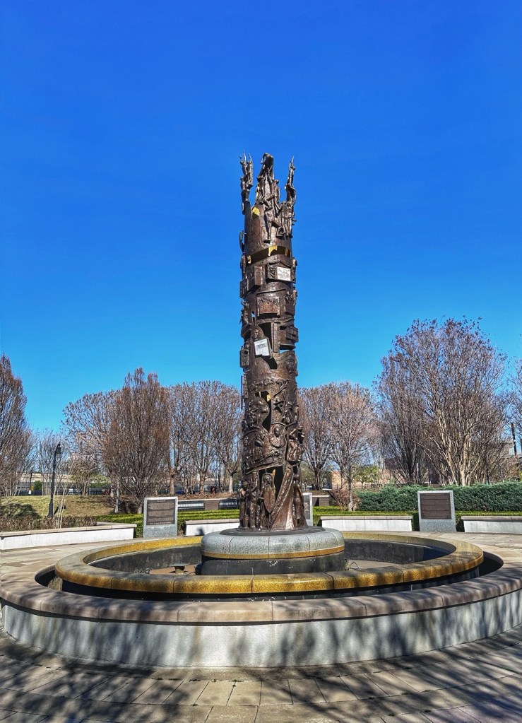
There’s a museum dedicated to the area and the events that lead to its destruction. Sadly, we ran out of time and have to save it for our next visit. We did however stop at the John Hope Franklin Reconciliation Park dedicated to the victims of the 1921 Tulsa Race Riot.
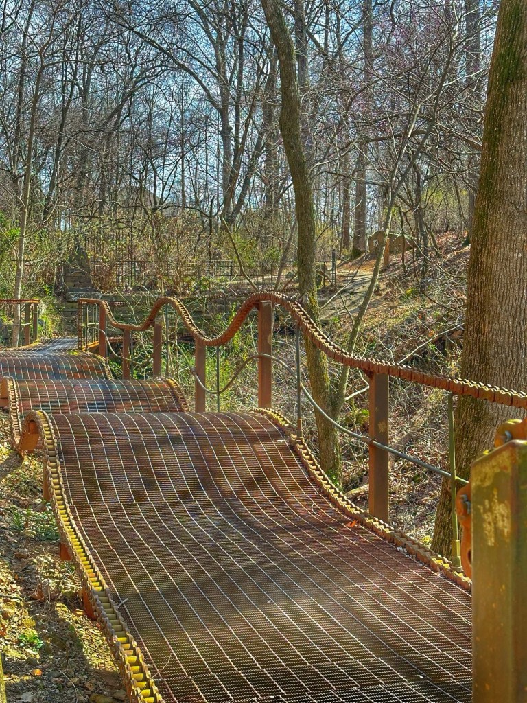
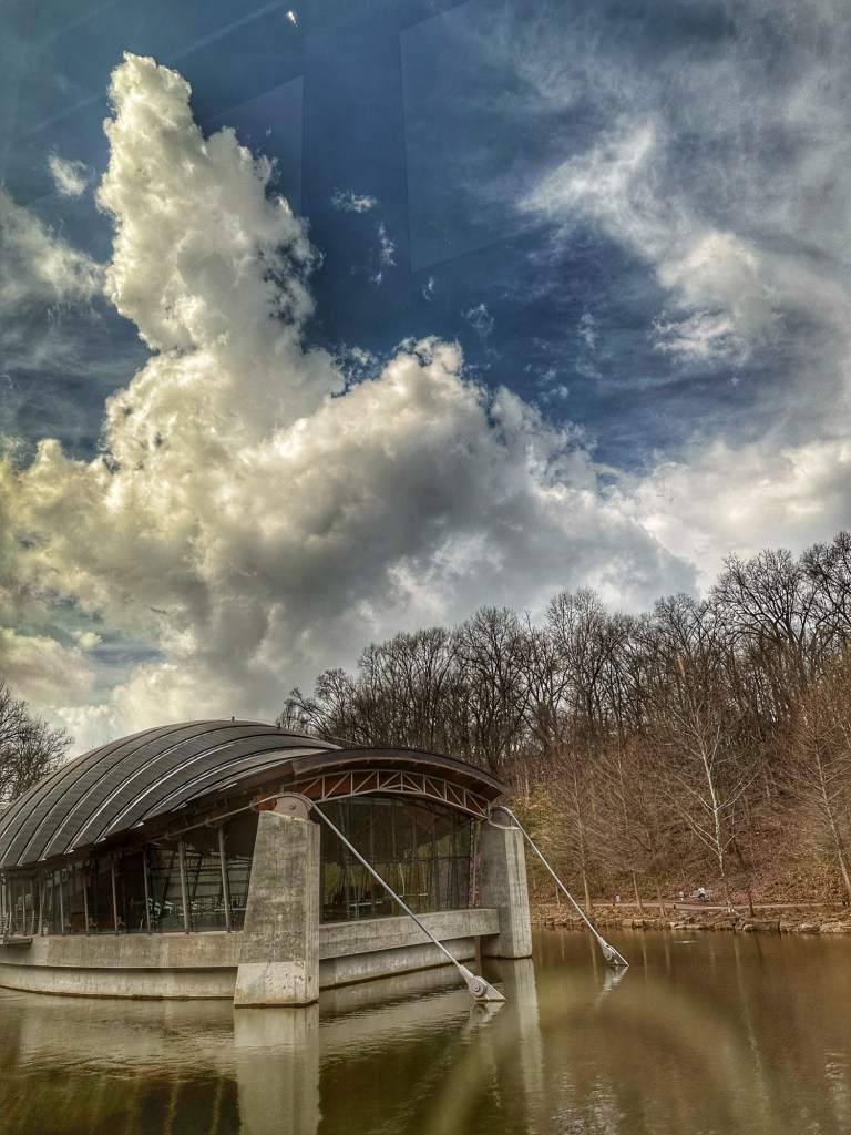
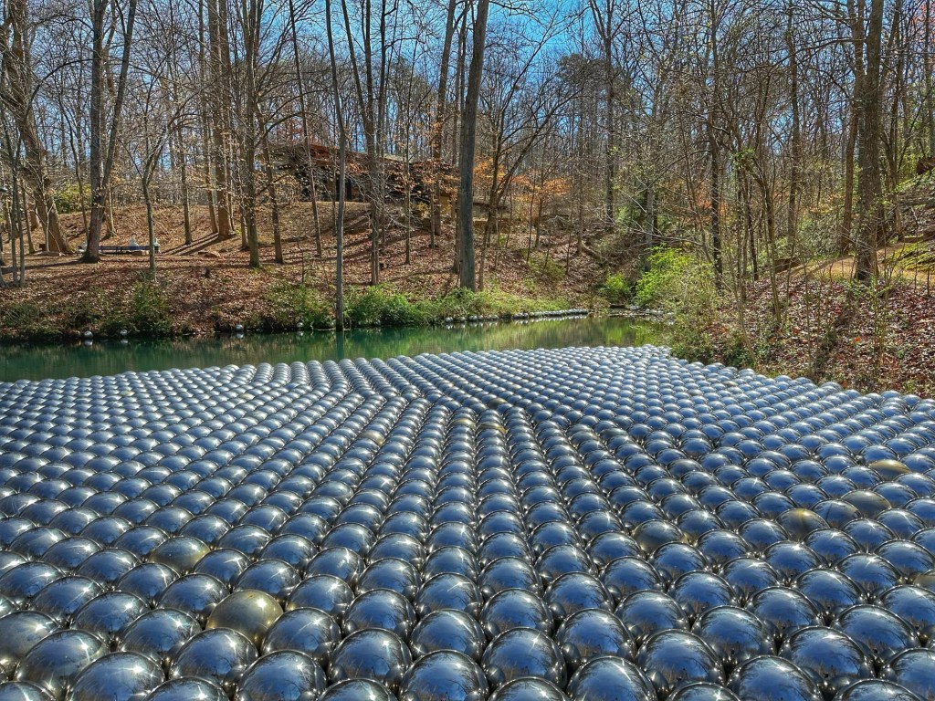
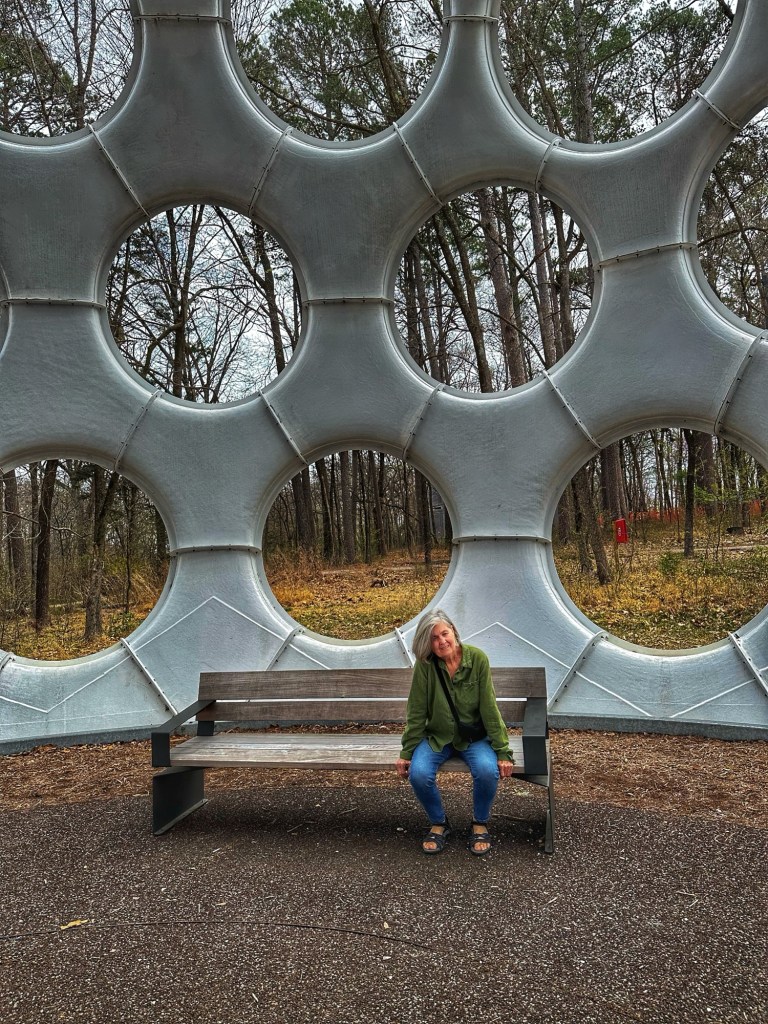
We also found time to make a brief stop at the 66.5 acre Gathering Place on the Arkansas River. The park was on the National Geographic’s list of 12 Mind Bending Playgrounds Around the World. The park lived up to the hype.
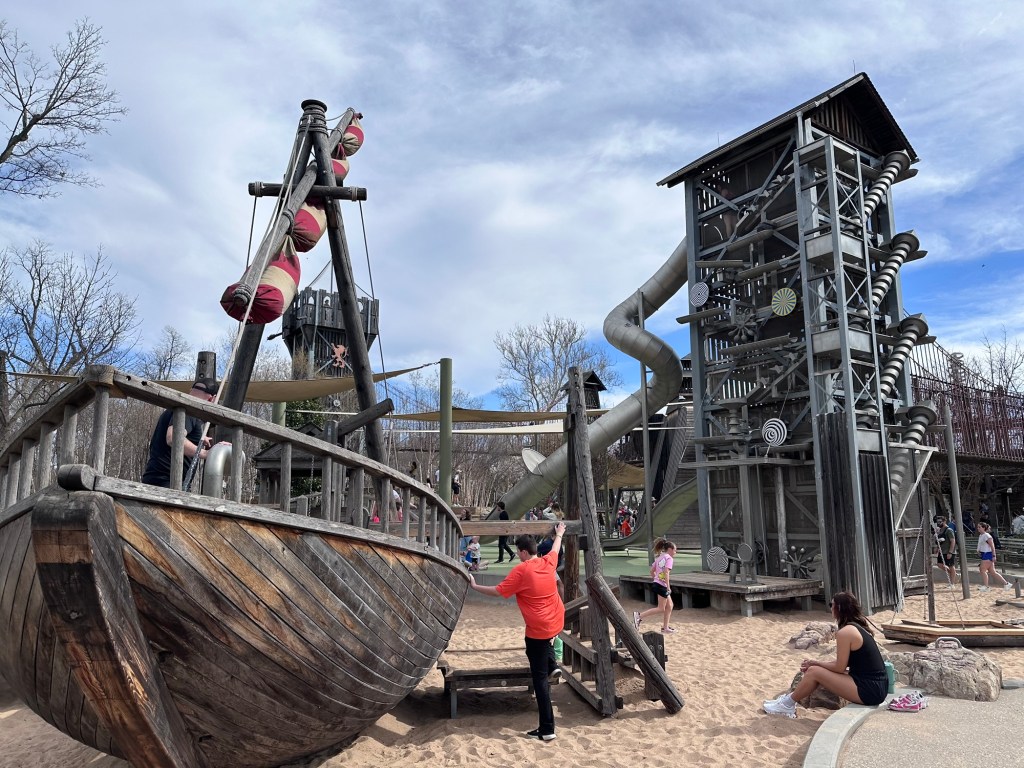
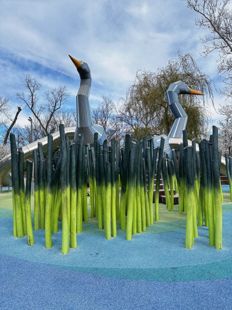
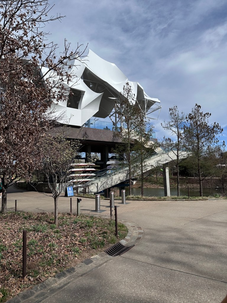
In addition to the playground, which is more extensive than the photos indicate, and the boat rentals there is a paved walking and bike path along the river. A very impressive and well used park. 
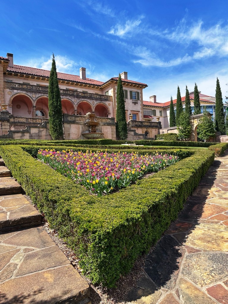
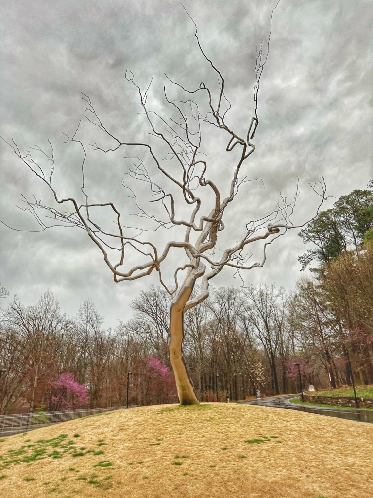
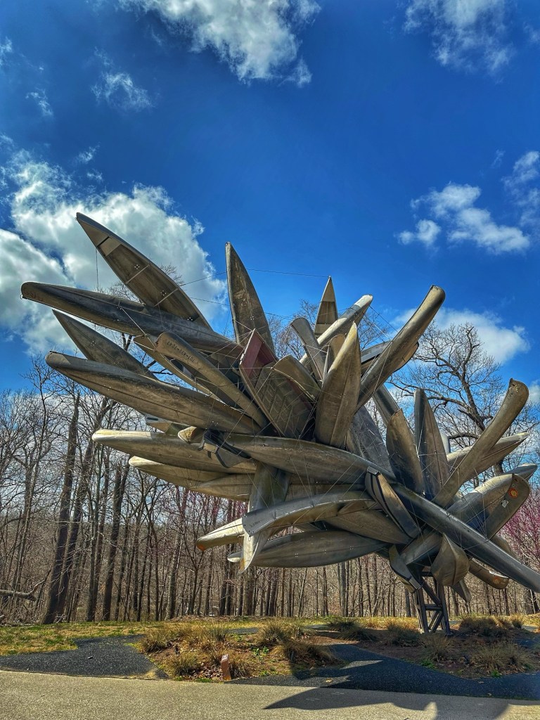
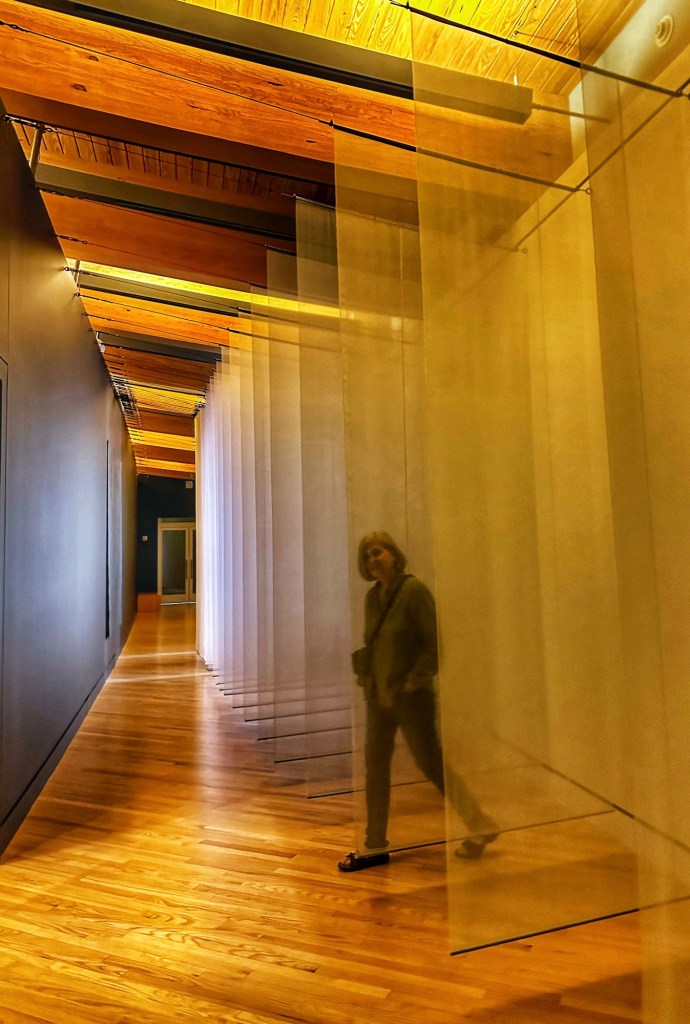
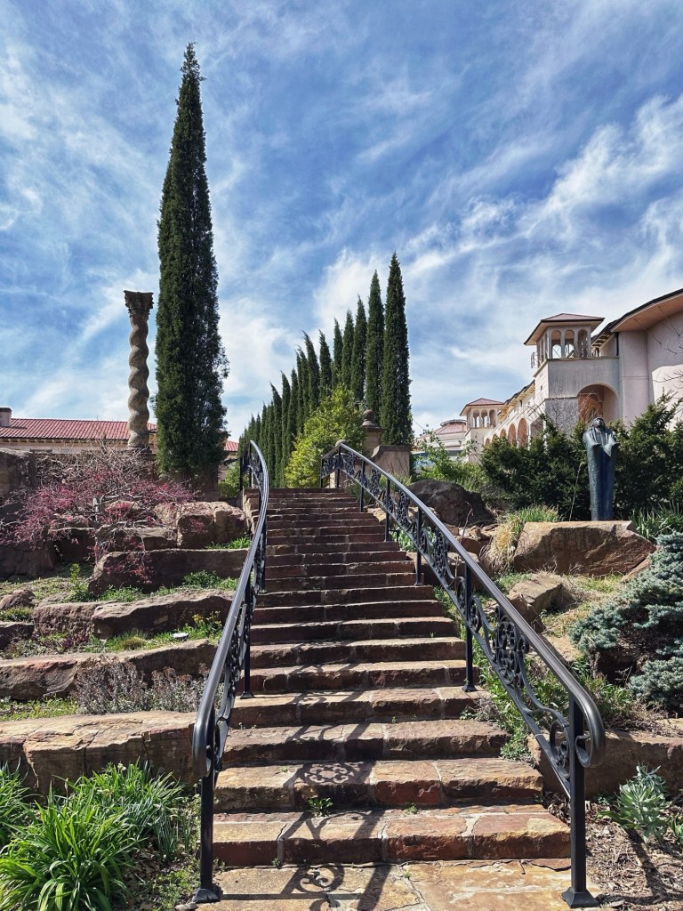
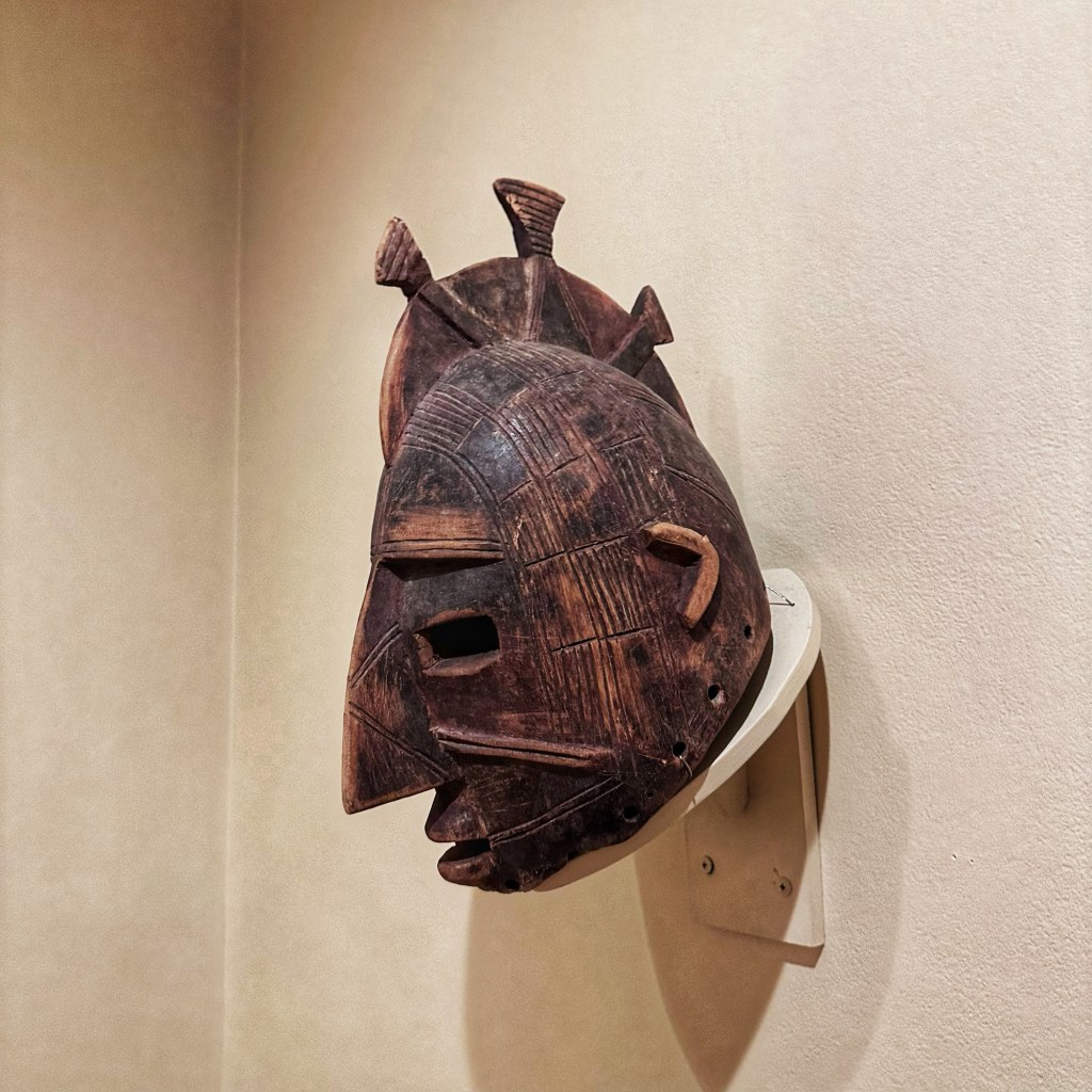
We also squeezed in a quick visit to the Philbrook Museum of Art. The museum has expansive formal gardens and opened in 1939 in the former home of Oklahoma oil pioneer Waite Phillips and his wife Genevieve.
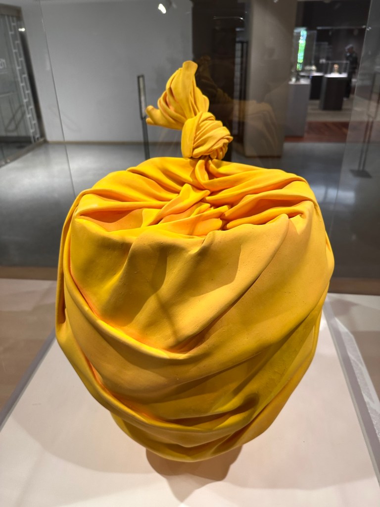
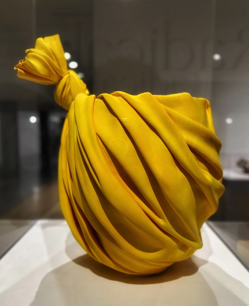
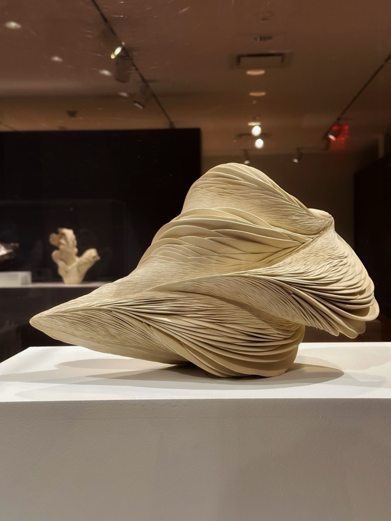
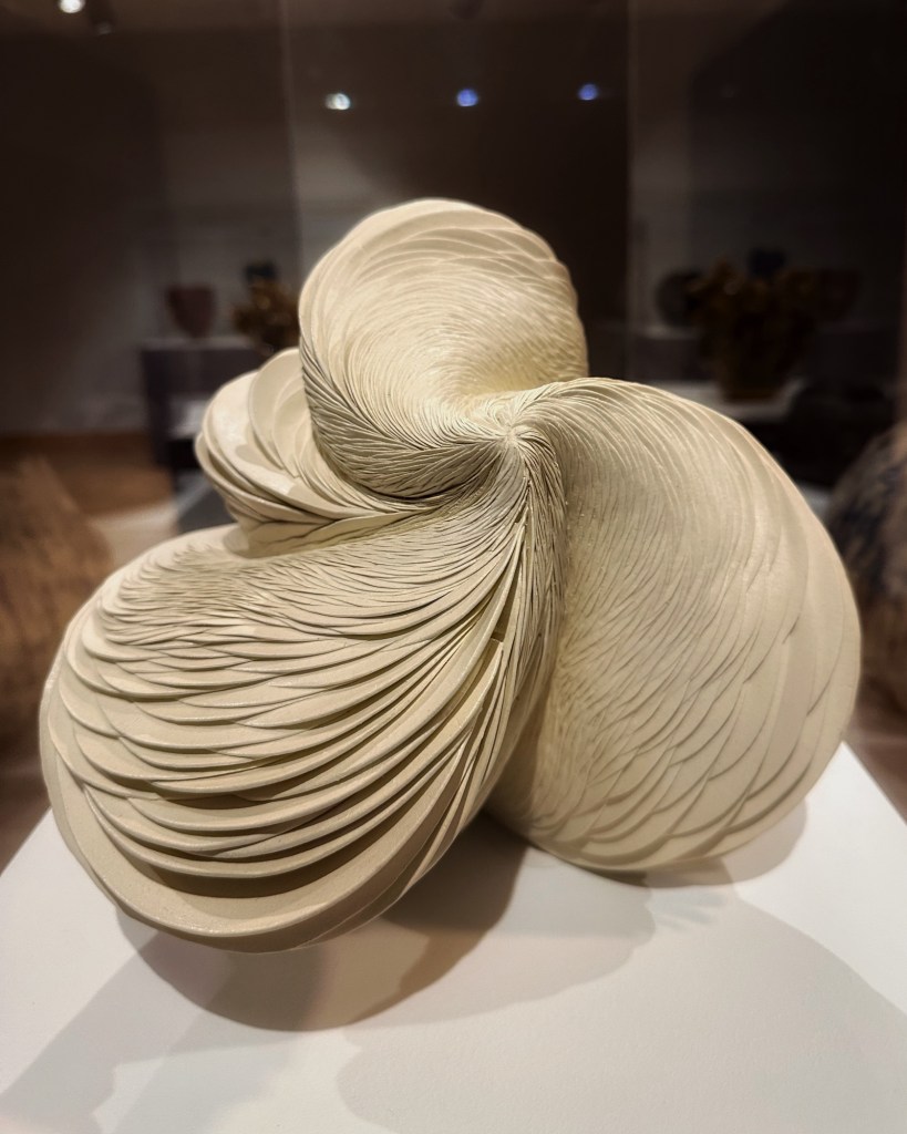
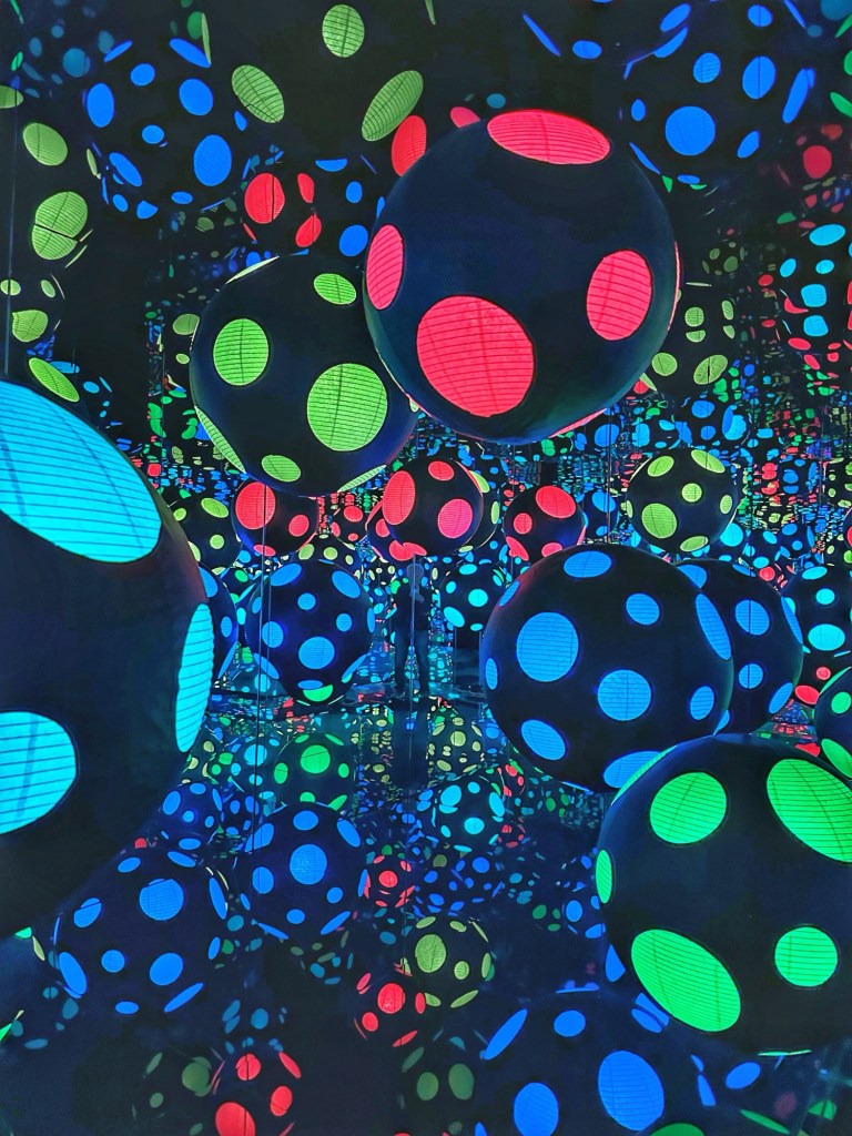
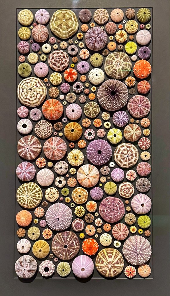
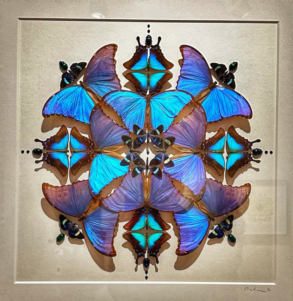
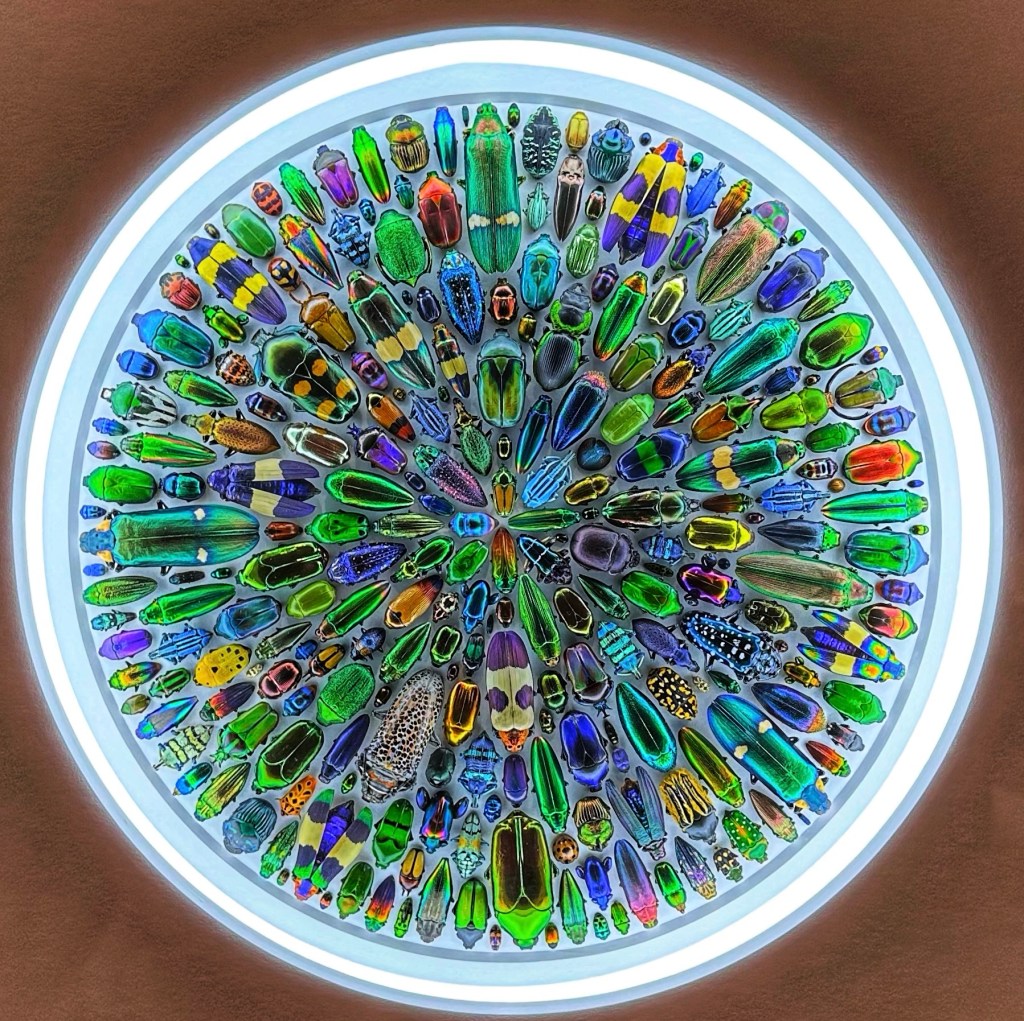
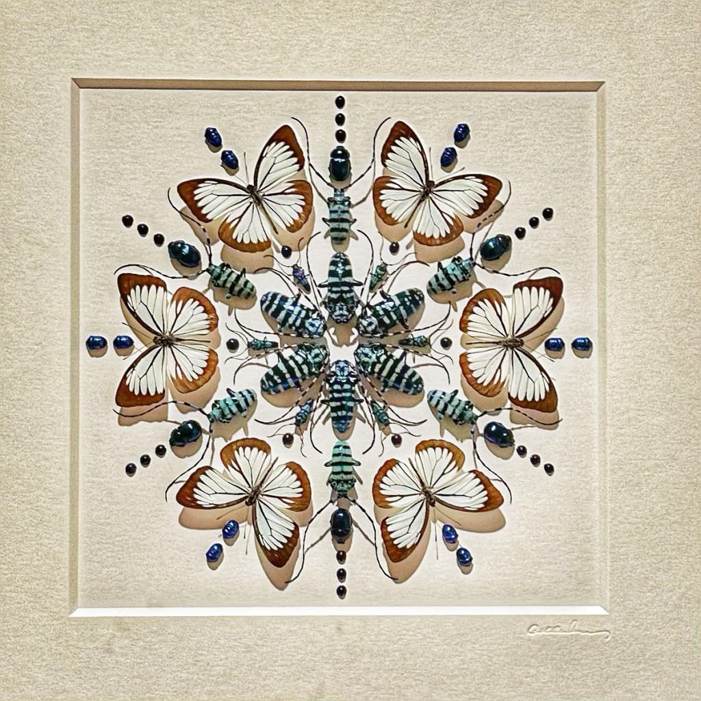
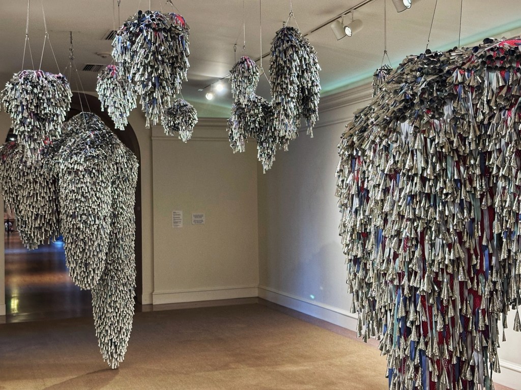
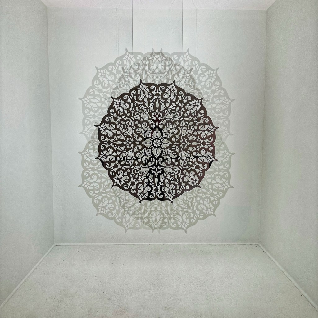
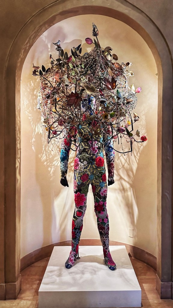
The museum has a varied collection of works.
This was our first stop in Tulsa and we hope that it won’t be the last. Certainly more to explore and savor.