While in Tucson we attended a Film Festival that offered a film of Bob Dylan performances from throughout his career. The footage was part of the Bob Dylan Center’s archive. The Center is located in Tulsa Oklahoma next to the Woody Guthrie Center. After the film the Center’s director talked about the archive and its offerings. Our interest was piqued so we changed our route east and stopped in Tulsa for few days.
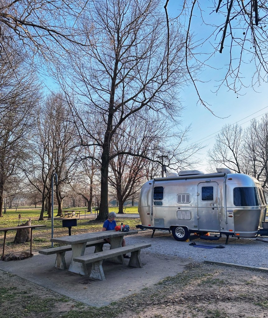
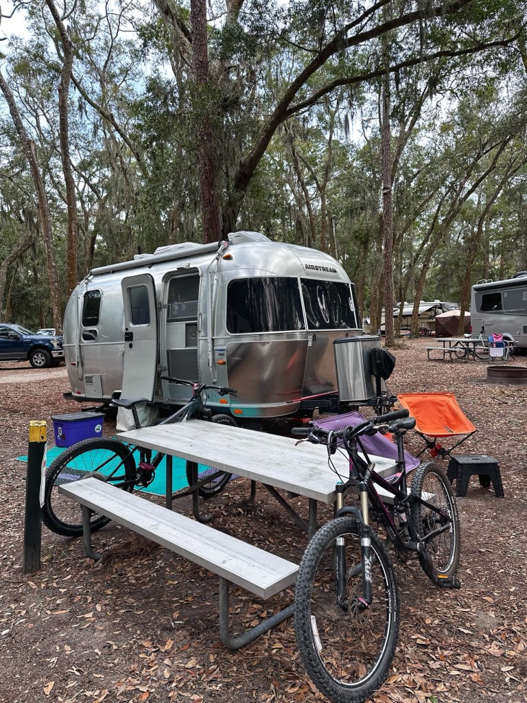
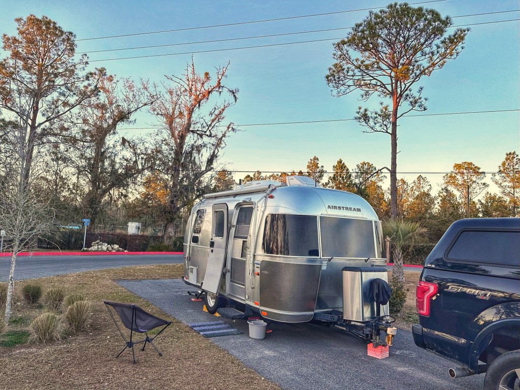
Site 9
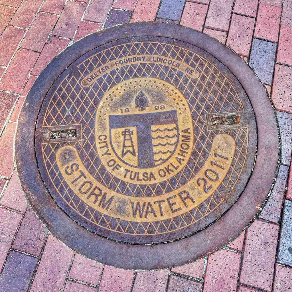
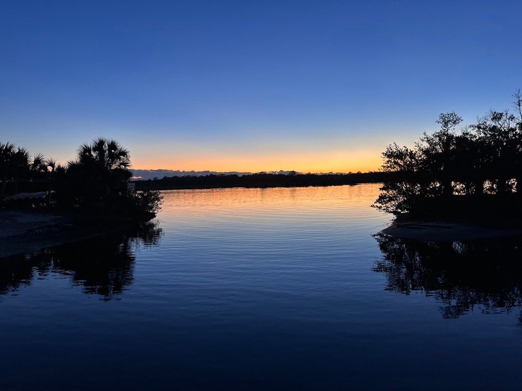
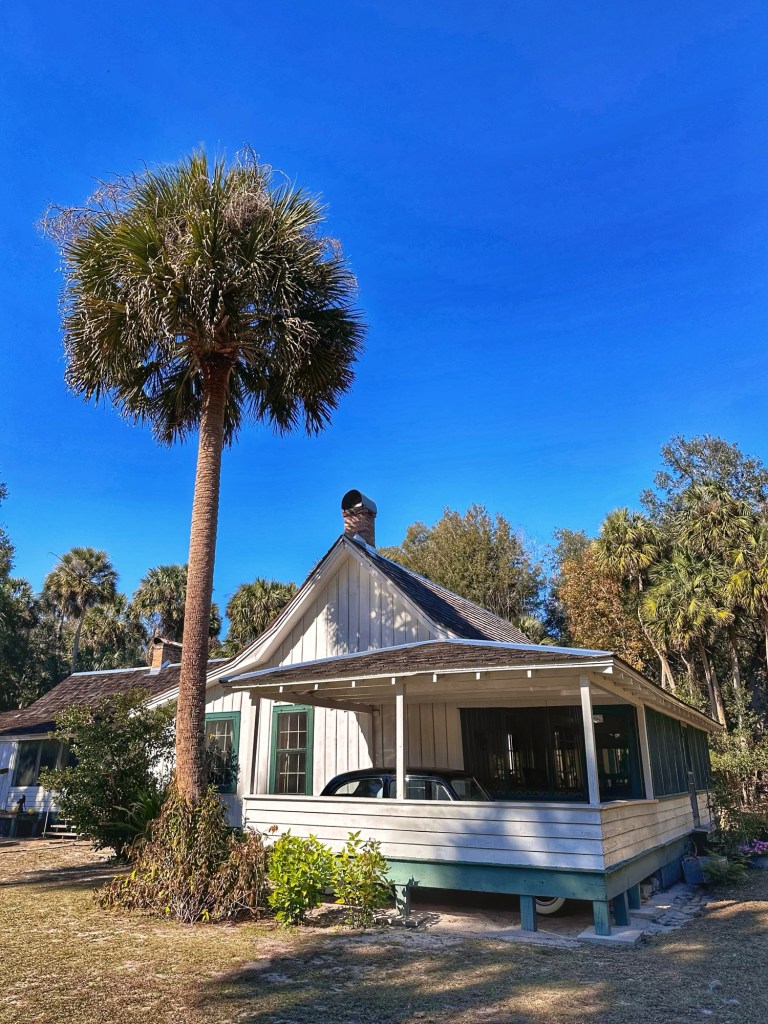
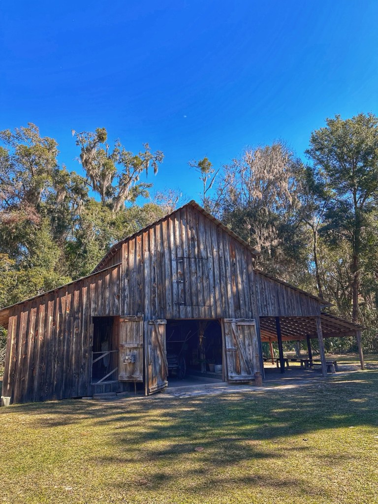
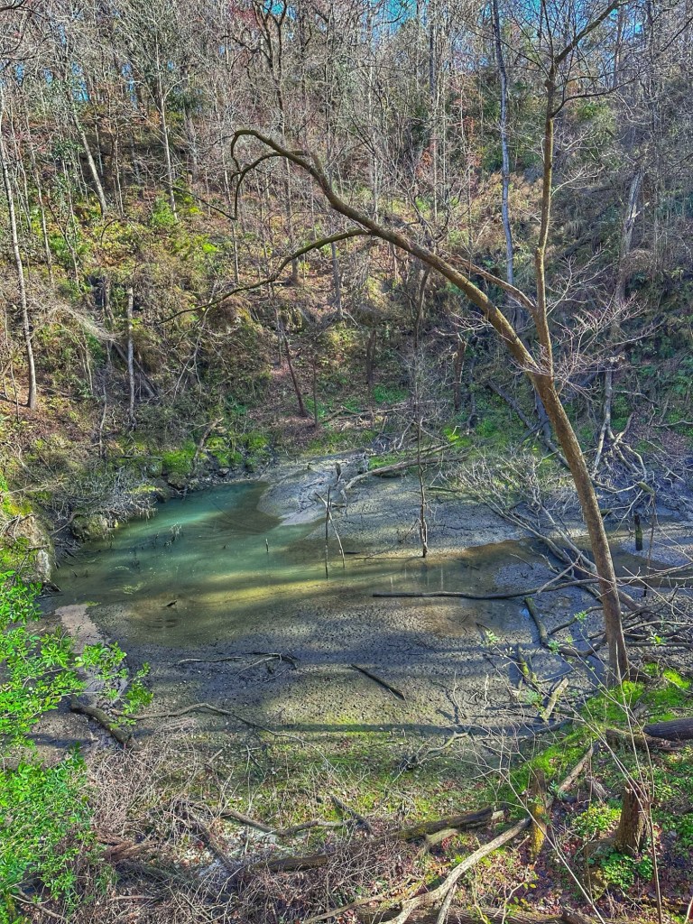
We secured a camp site at Brush Creek Public Use Area. The campground is part of an Army Corps of Engineers project that created Keystone Lake.
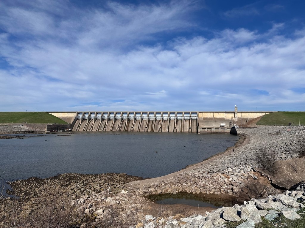
The Dam that created the lake 
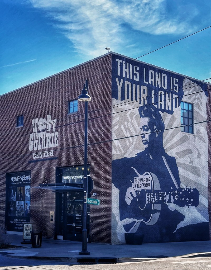
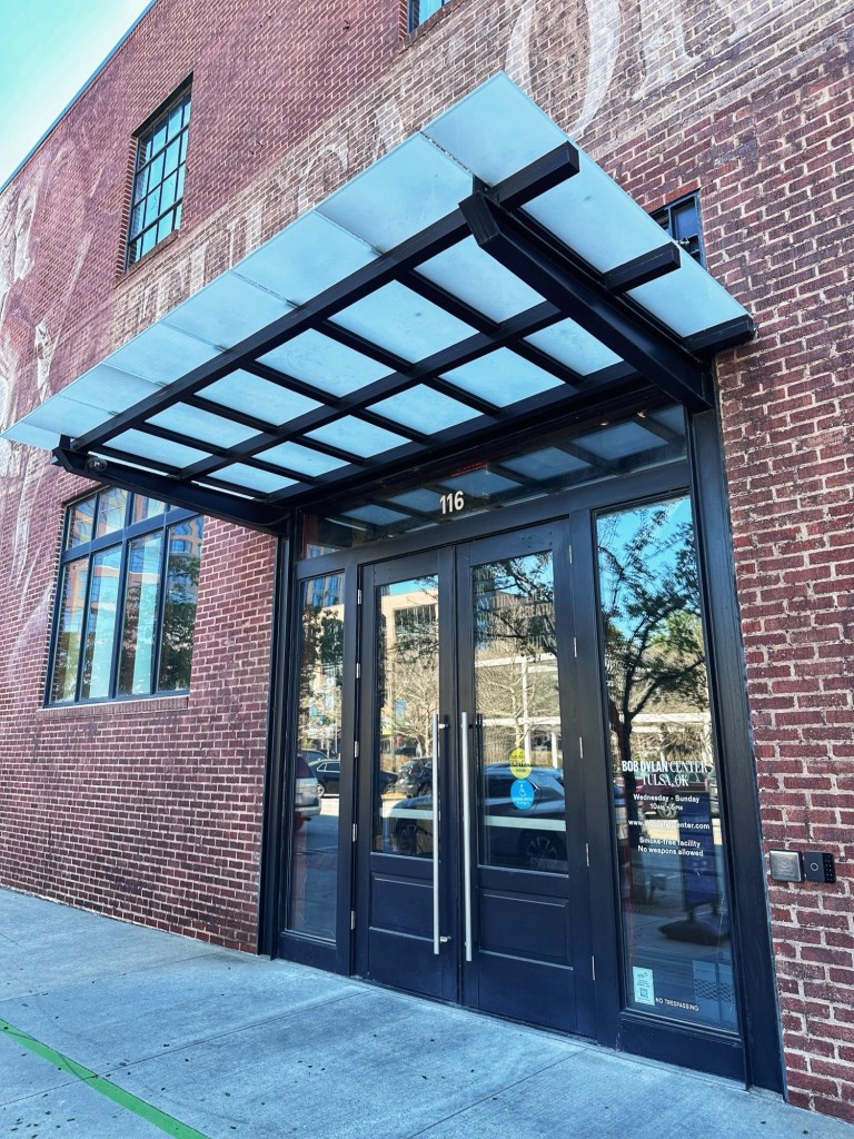
The Guthrie and Dylan Centers are located in downtown Tulsa, about a 20 minute drive from our campsite. Both centers are located in the same building with different entrances.
We started in the Guthrie Center unsure of how much time it would take to work our way through the collection.
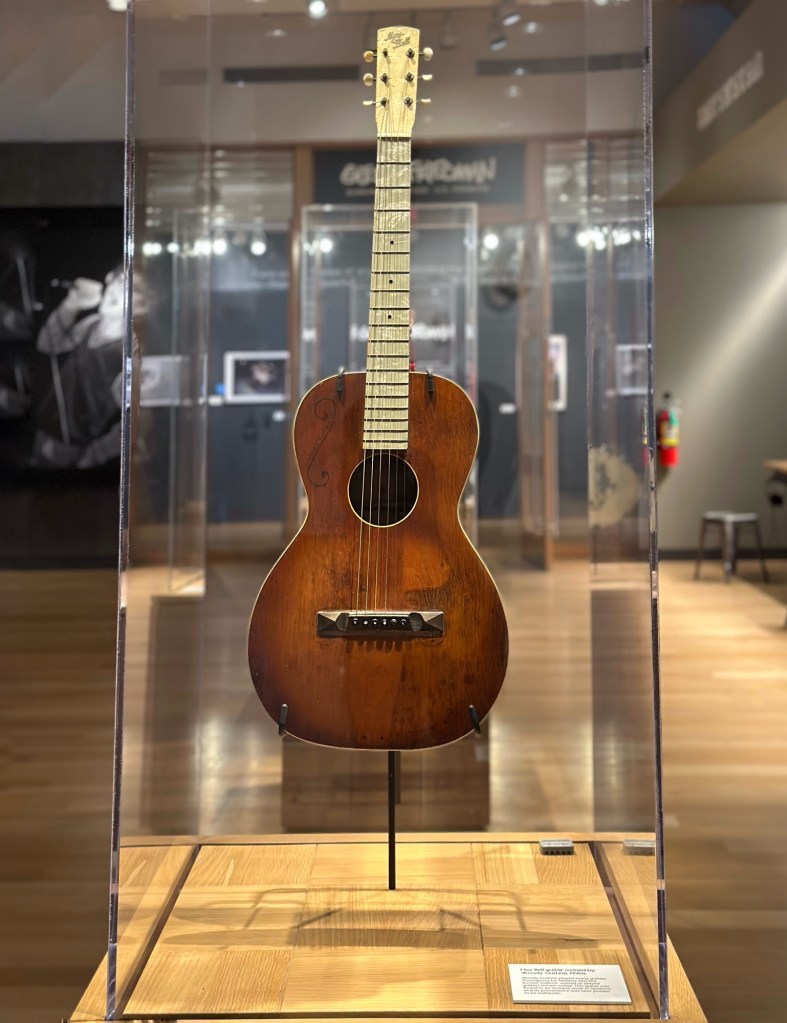
One of Woody’s guitars from the 1930s
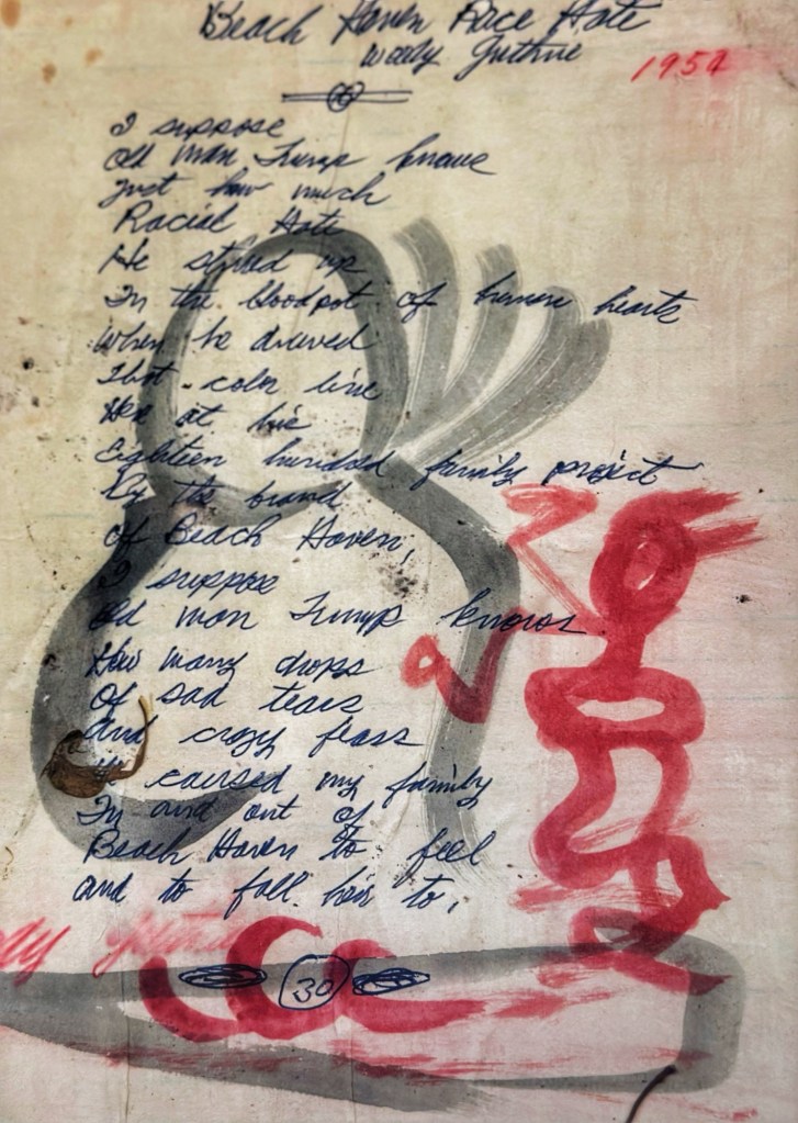
The Center displayed a number of lyric sheets in Woody’s hand. This one is about Fred C. Trump’s (Donald’s father) racist housing policies.
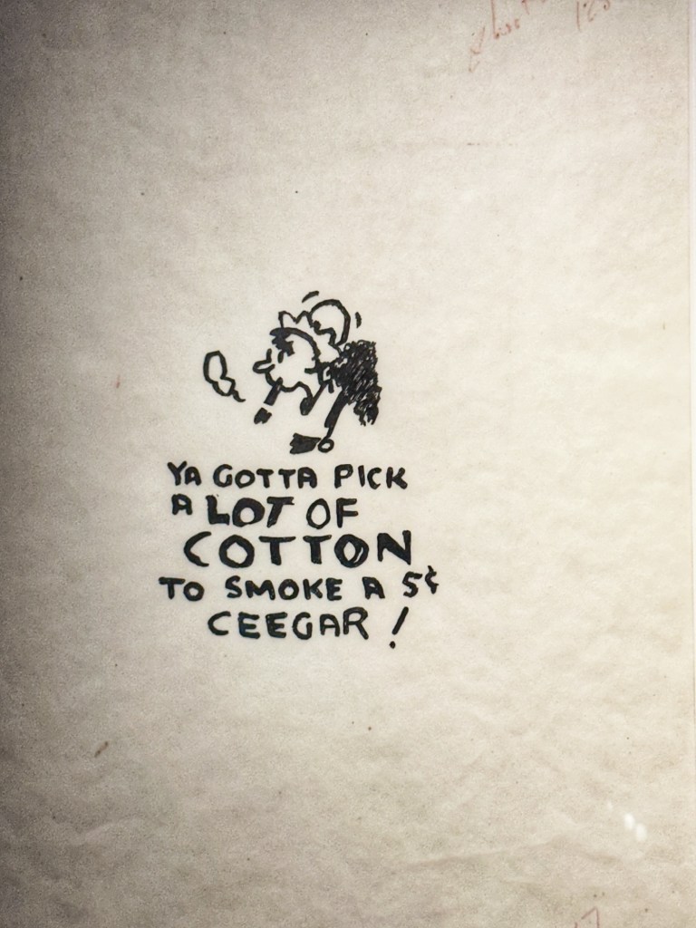
A number of Woody’s drawings were also displayed.
We spent about 2 hours with the exhibits and artifacts and felt we got to know Woody as a person and performer.
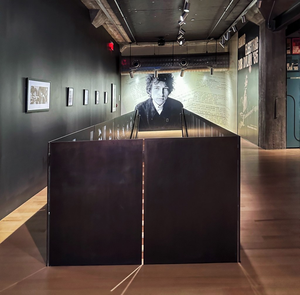
Bob Dylan Center entrance a few short steps from the Woody Guthrie Center entrance 
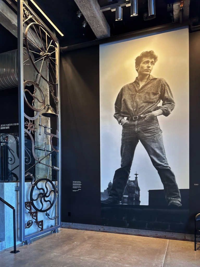
Dylan was a bit of a pack rat and saved everything. From notebooks, letters, and Christmas cards. The center is two floors and full of all things Bob Dylan. As you enter you are greeted by a larger then life portrait of a young Dylan next to a metal sculpture of his making.
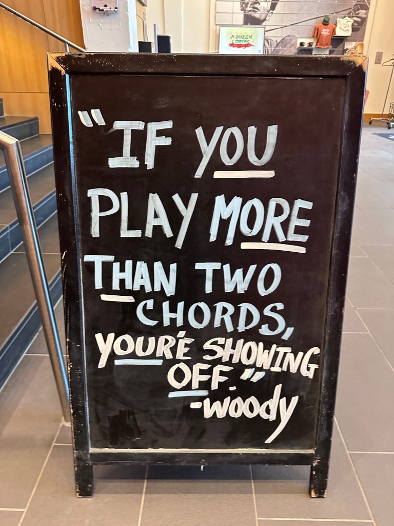
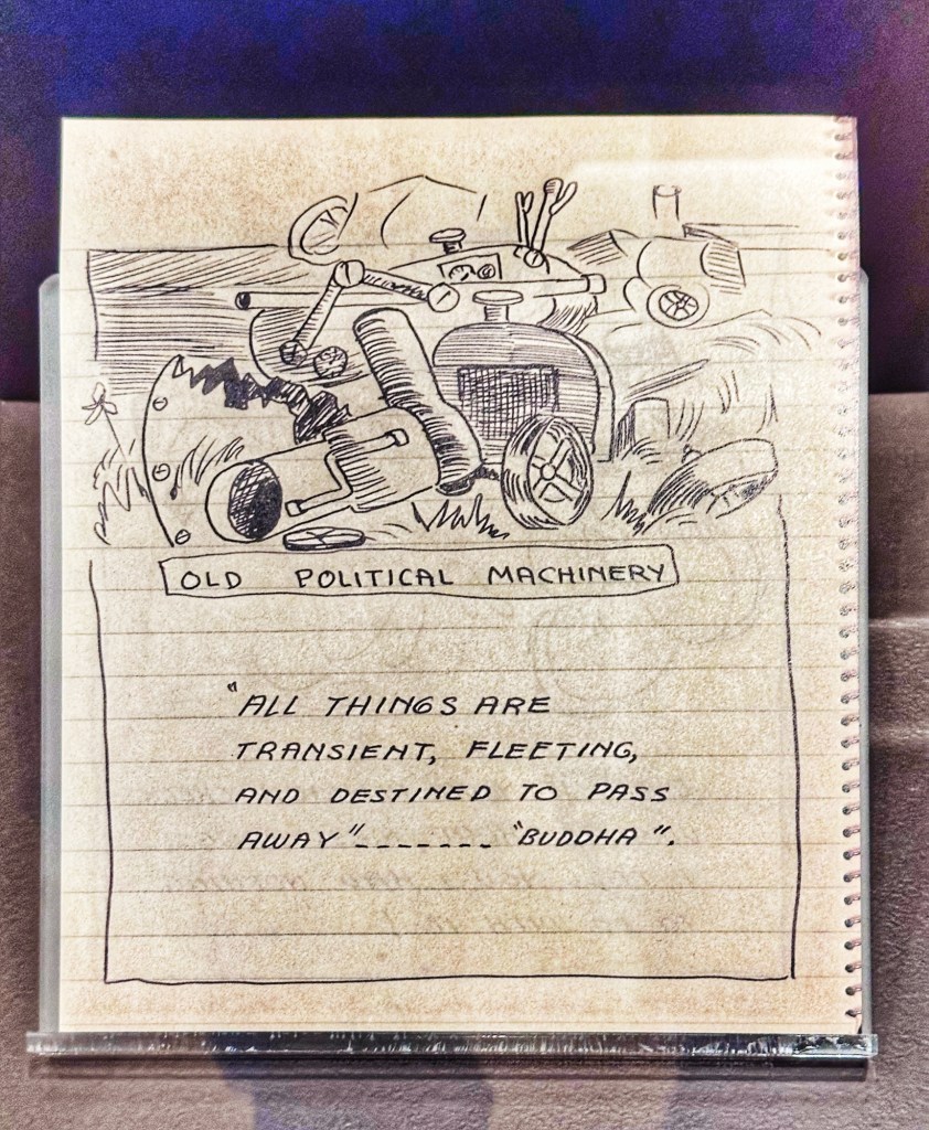
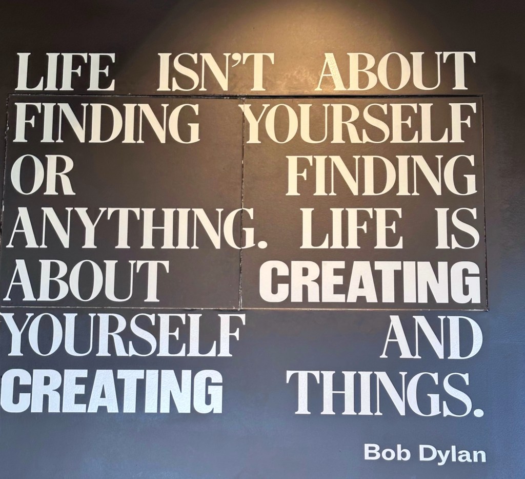
Words of wisdom as you enter 
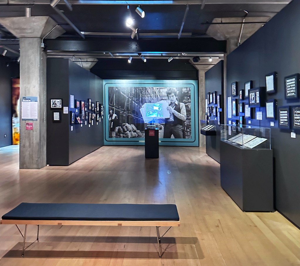
You are provided with headphones and transponder to use while exploring the collection. There is lots of audio and film throughout the center. To hear and see everything takes awhile. We spent five hours and didn’t get bored. 
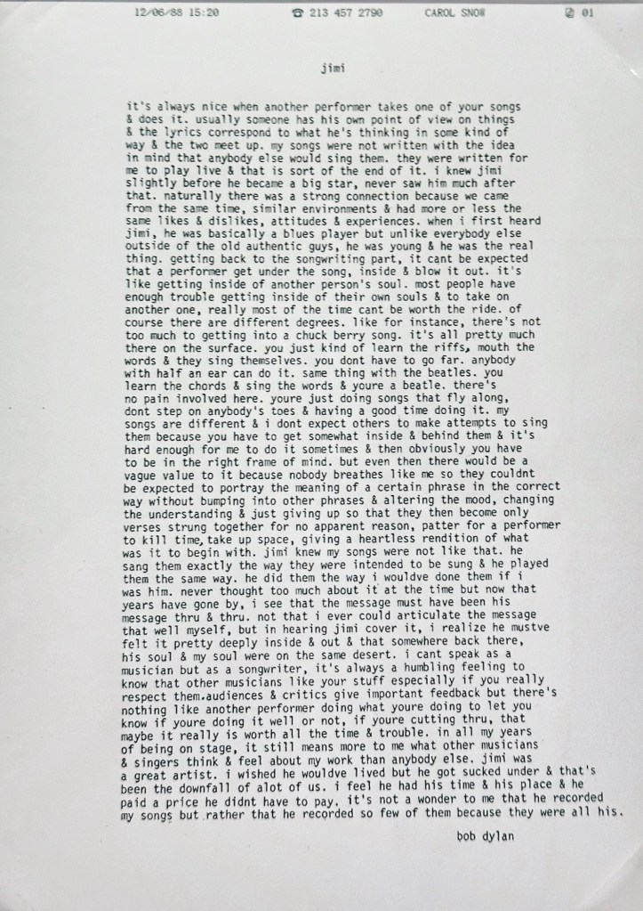
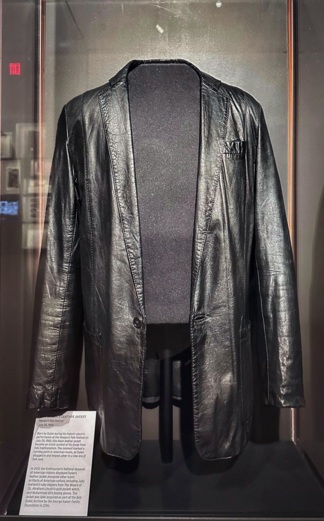
Dylan commenting on Jimi HendrixThe jacket Dylan wore that night in Newport, July 25, 1965, when he went “electric “
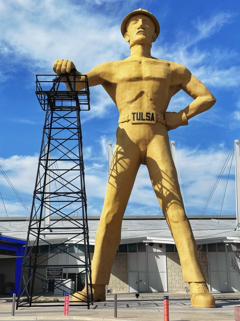
The exhibits span the entirety of Dylan’s life and musical career. Whether you’re a Bob Dylan fan or a Woody Guthrie fan, you owe it to yourself to make a detour to Tulsa for a visit. And while you’re there, you can visit another giant.
Tulsa’s Golden Driller
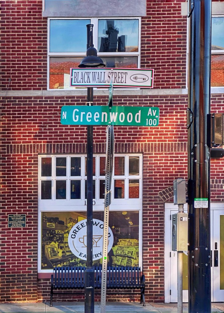
Tulsa is also were the Greenwood race riot took place in 1921. The attacks were perpetrated by white supremacists and destroyed more than 35 blocks of the Greenwood District. This was one of the wealthiest black communities in the United States, known as the” Black Wall Street”.
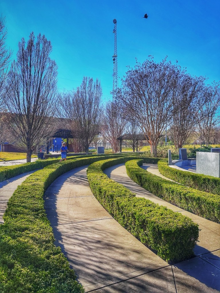
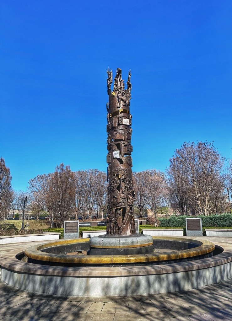
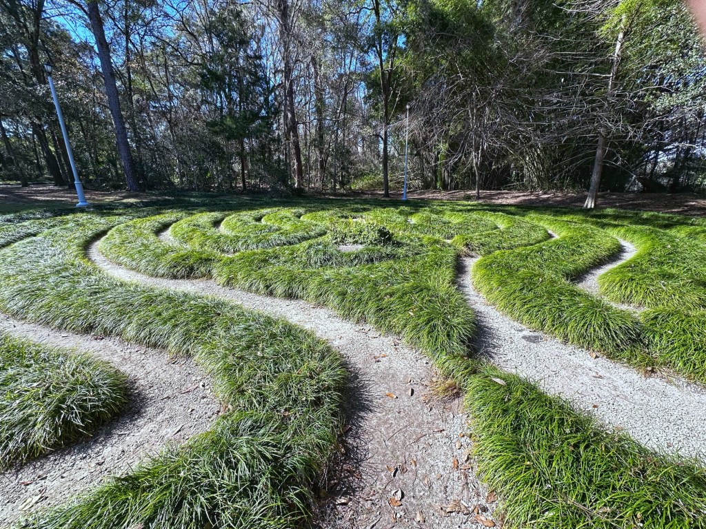
There’s a museum dedicated to the area and the events that lead to its destruction. Sadly, we ran out of time and have to save it for our next visit. We did however stop at the John Hope Franklin Reconciliation Park dedicated to the victims of the 1921 Tulsa Race Riot.
The outer edge of the park is a box wood labyrinth At the center of the park is the 26 foot Tower of Reconciliation by Ed Dwight
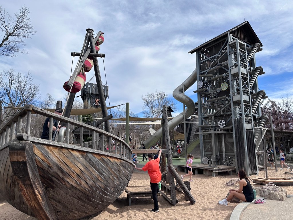
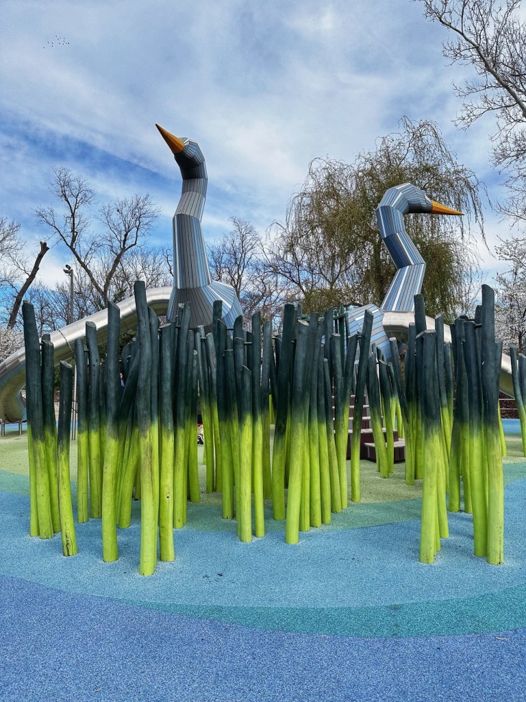
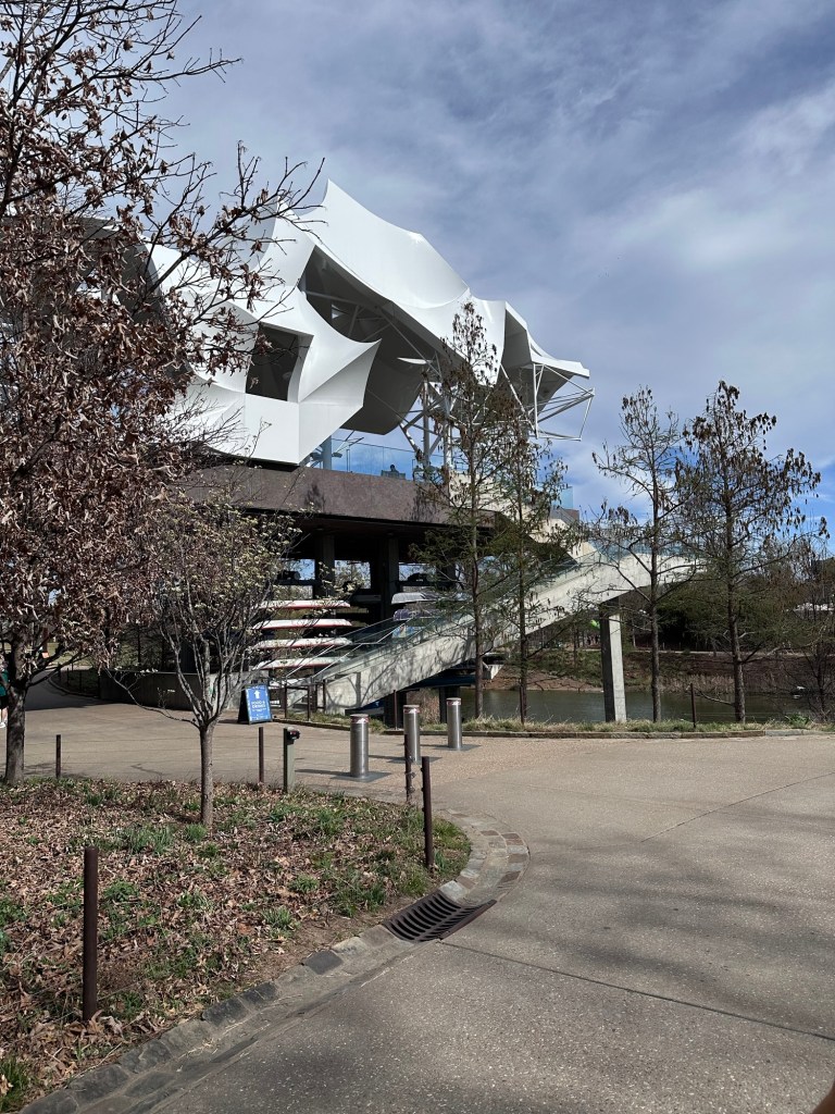
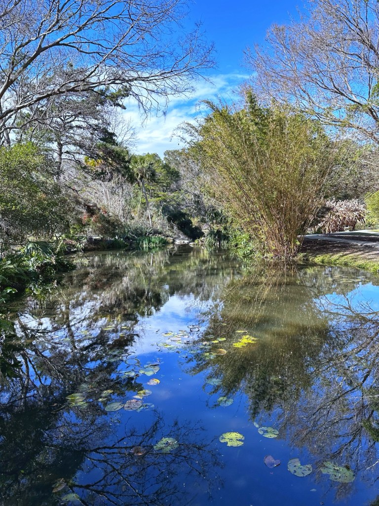
We also found time to make a brief stop at the 66.5 acre Gathering Place on the Arkansas River. The park was on the National Geographic’s list of 12 Mind Bending Playgrounds Around the World. The park lived up to the hype.
The boat house
In addition to the playground, which is more extensive than the photos indicate, and the boat rentals there is a paved walking and bike path along the river. A very impressive and well used park. 
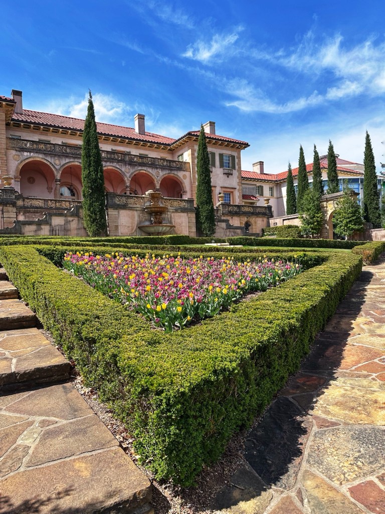
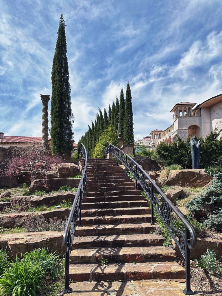
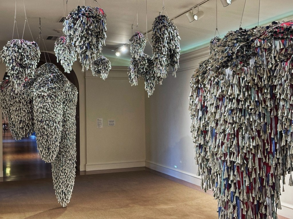
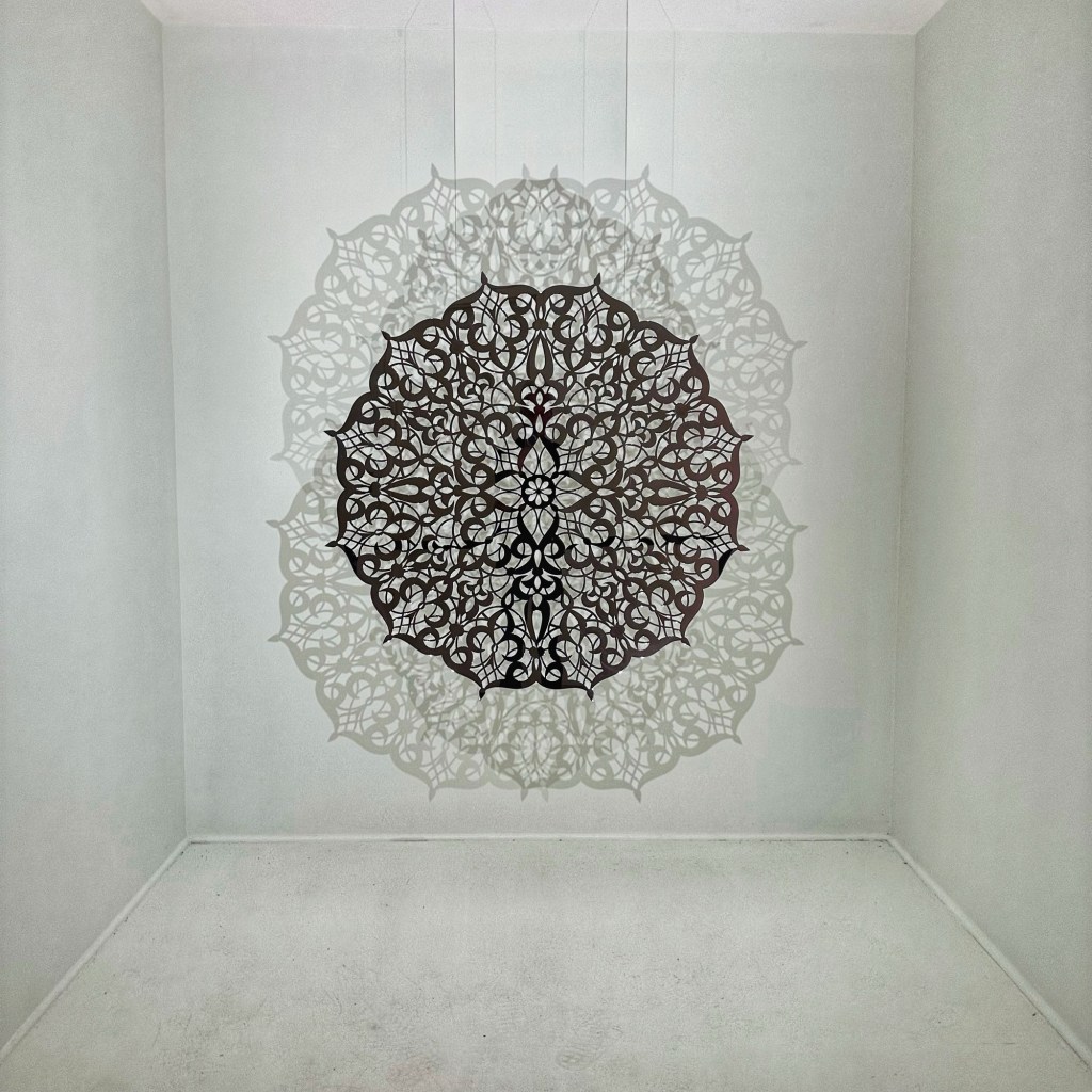
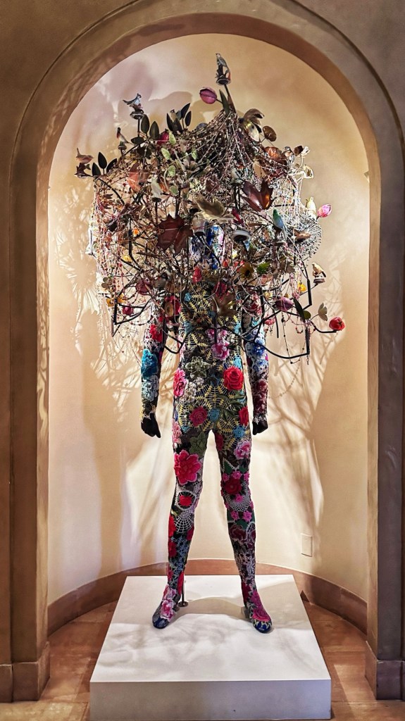
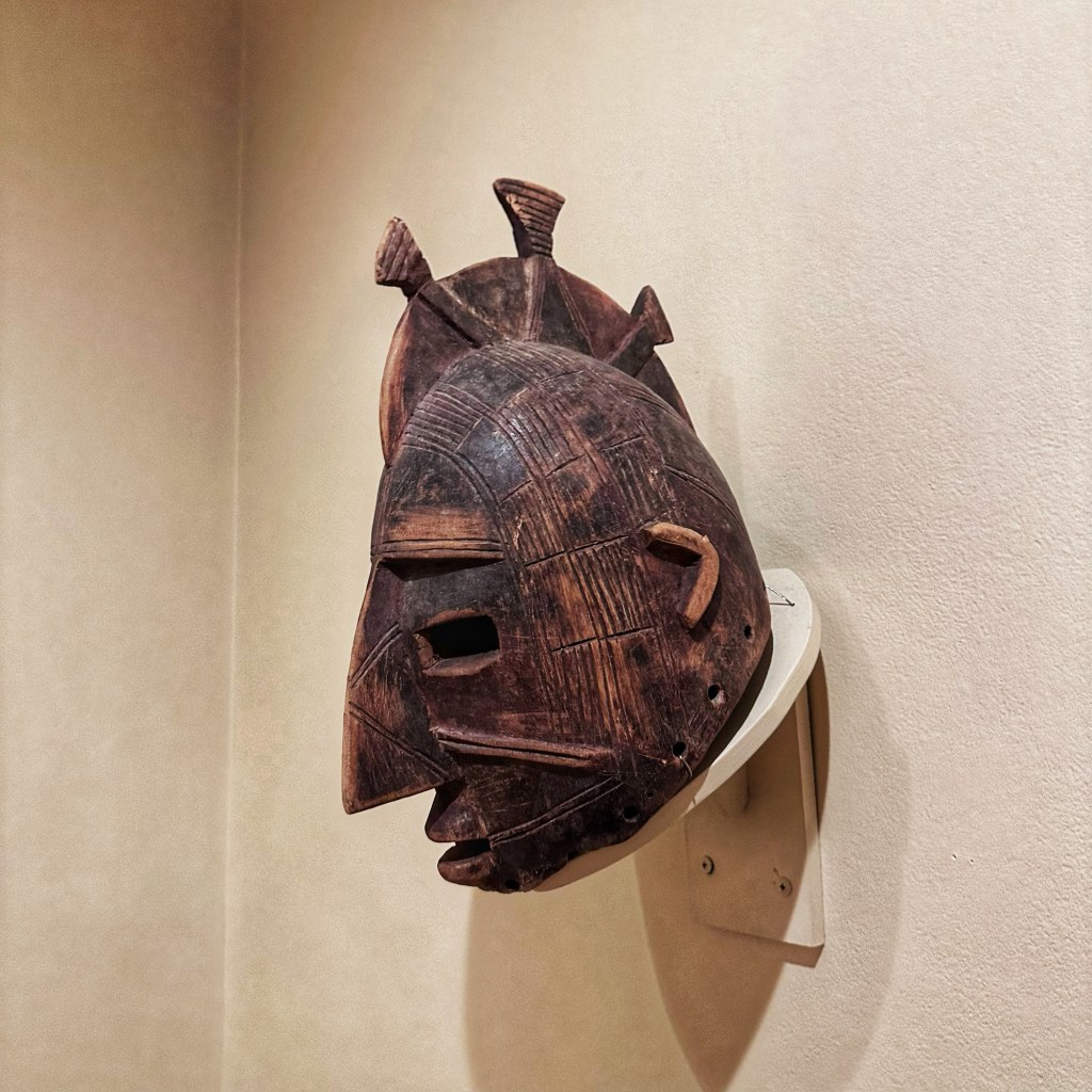
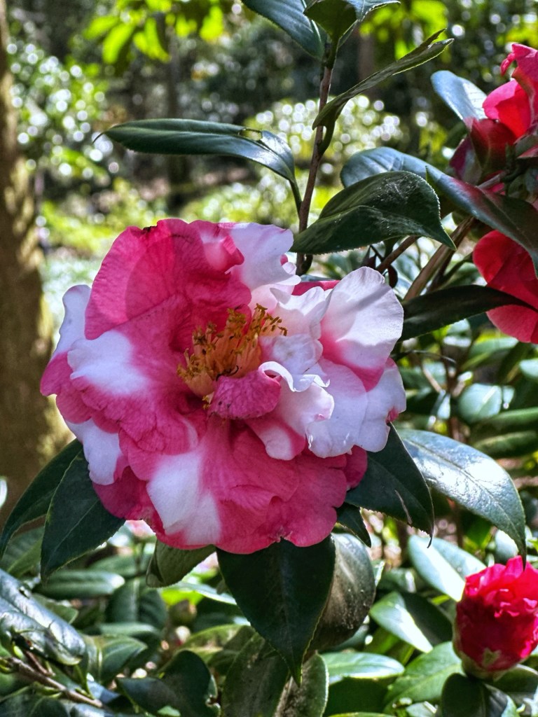
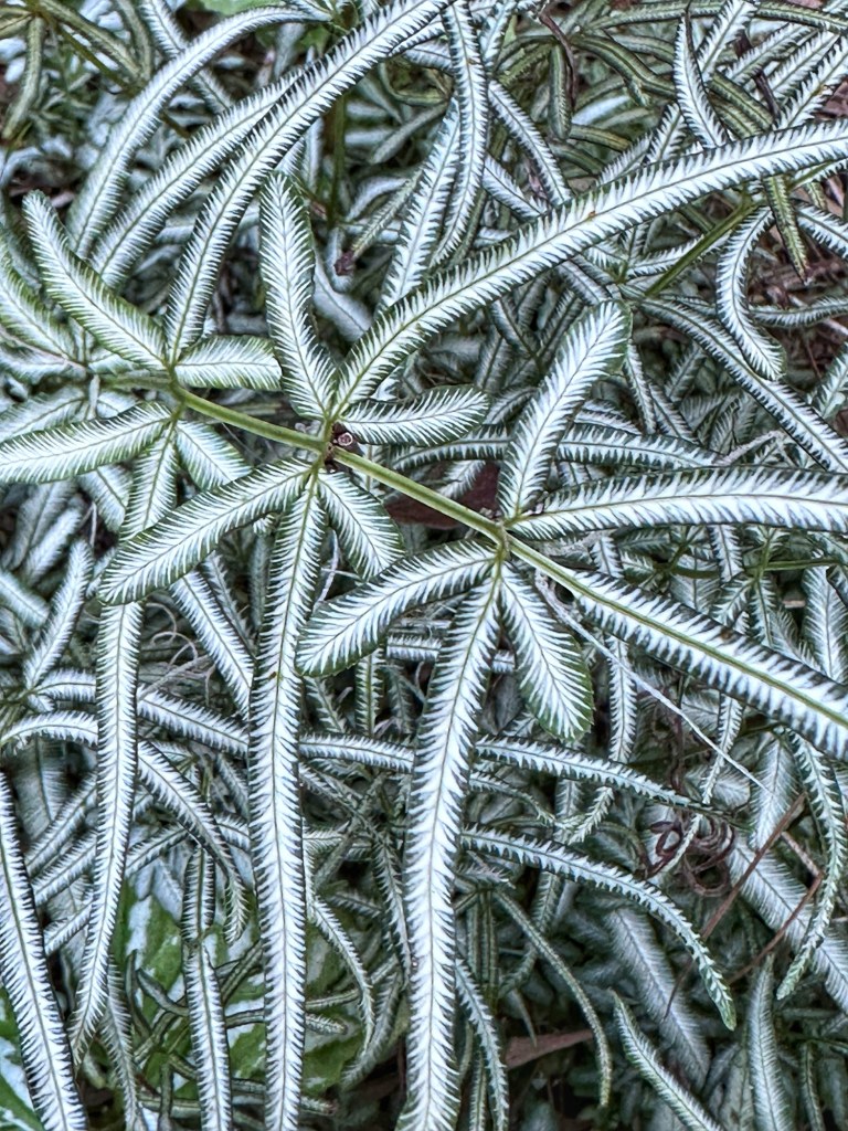
We also squeezed in a quick visit to the Philbrook Museum of Art. The museum has expansive formal gardens and opened in 1939 in the former home of Oklahoma oil pioneer Waite Phillips and his wife Genevieve.
The museum has a varied collection of works.
Heart in the Sky- 2025 ,Marie Watt Teardrop (After Robert Irwin)- Silver-2019, Anila Quayyum AshaSoundsuit-2021, Nick CaveMask, 20th century—unknown artist (Burkina Faso)
This was our first stop in Tulsa and we hope that it won’t be the last. Certainly more to explore and savor.
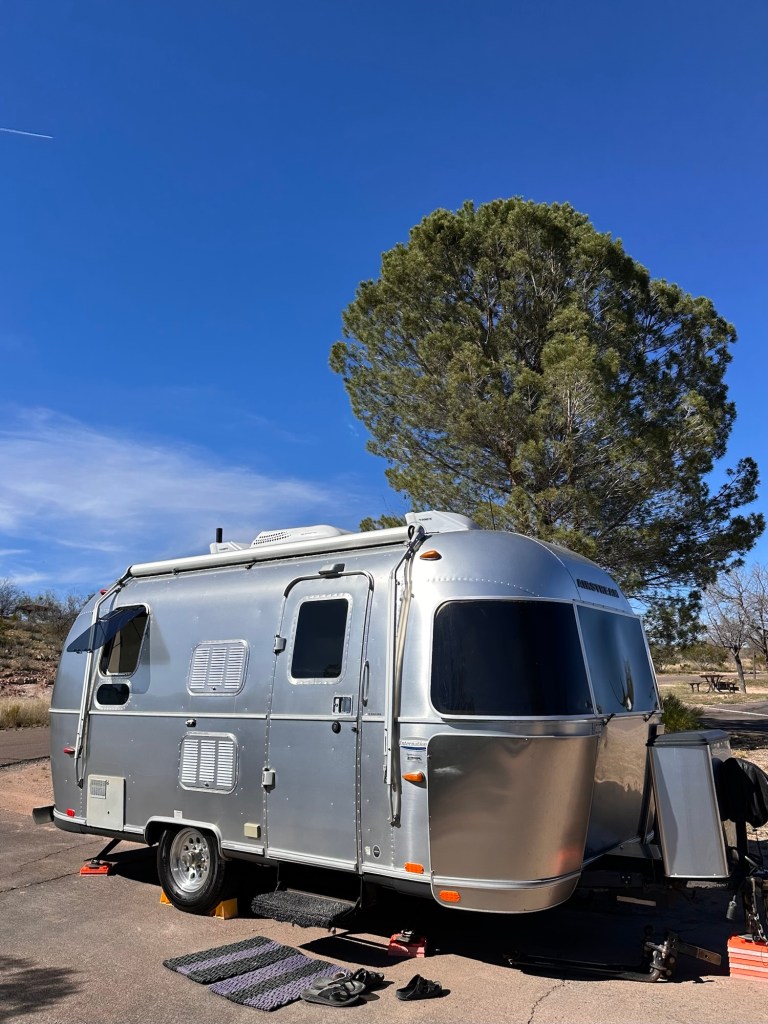
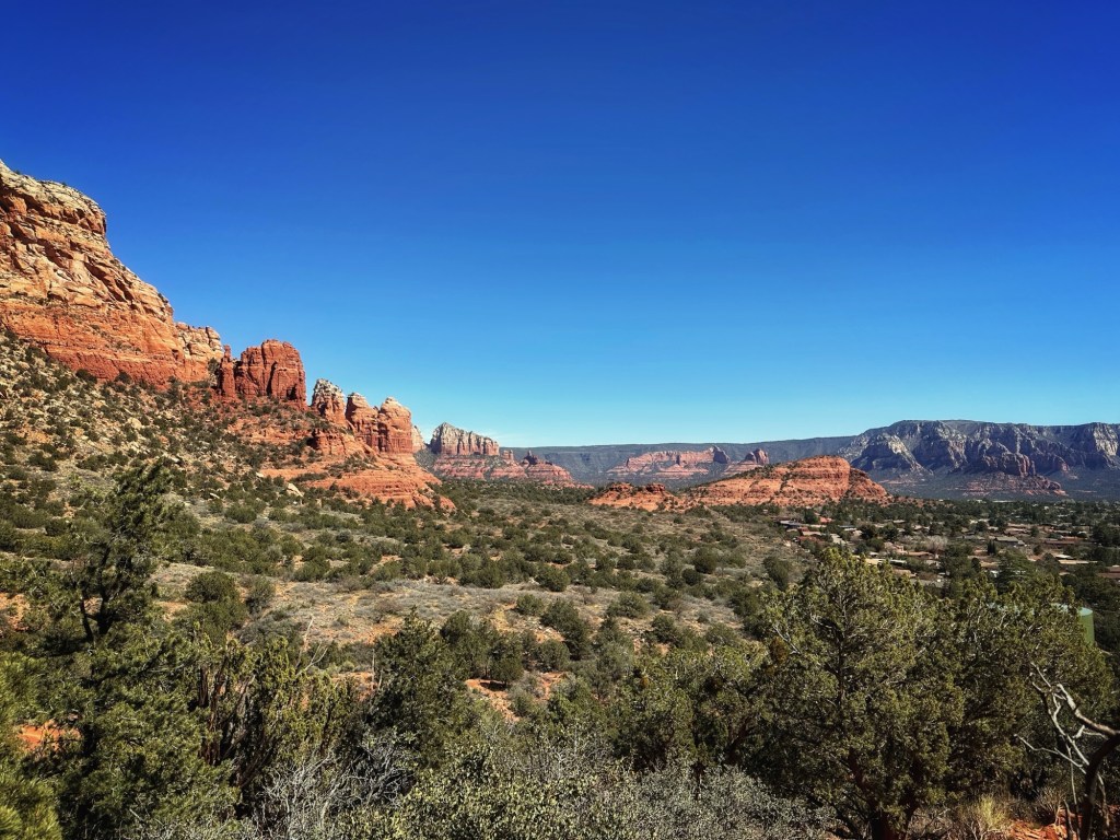
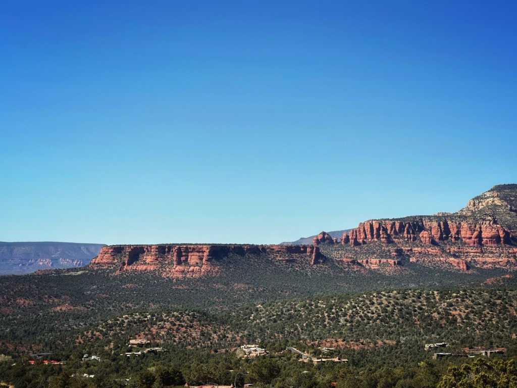
We said goodbyes to our Desert Trails RV buddies and set out for Dead Horse Ranch State Park in Cottonwood AZ. The location gives us easy access to both Sedona and Jerome where our friends Andy and Lori live.
Site 85
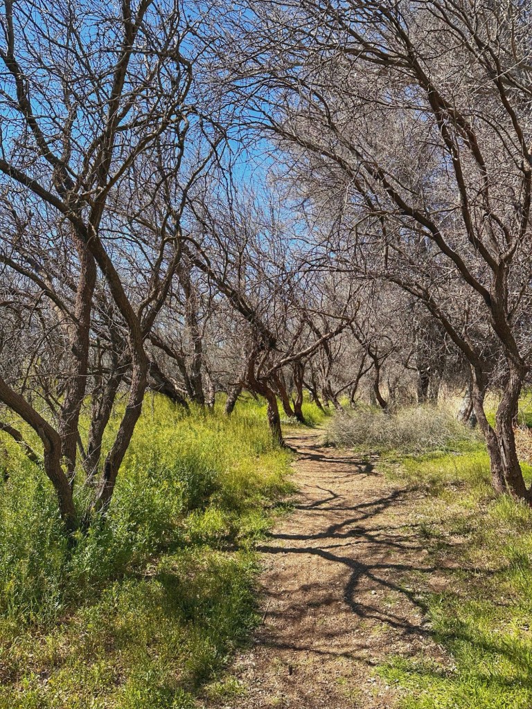
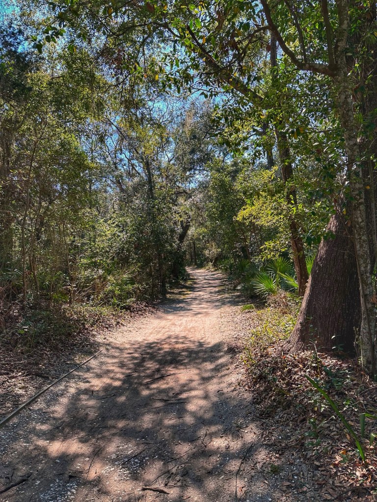
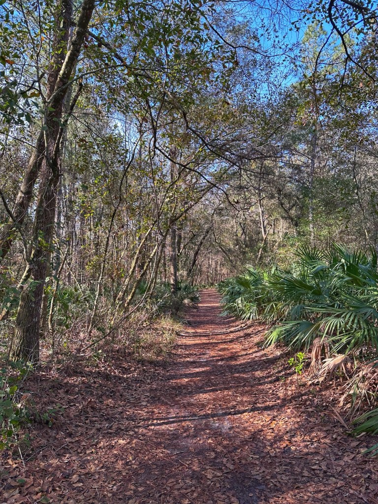
The park has trails for biking and hiking. They are easily accessible from our site.
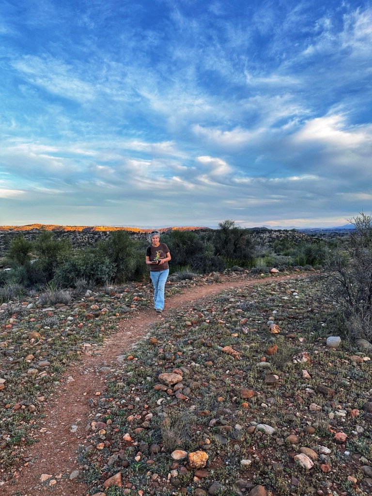
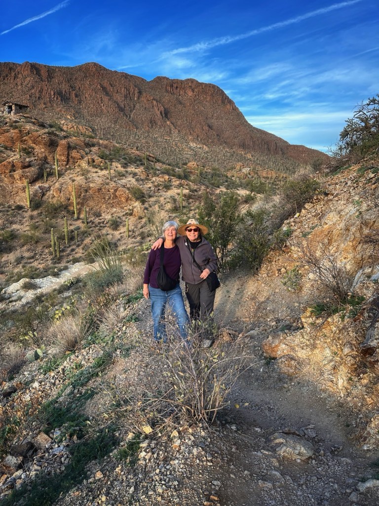
Pat hiking the Mesa in back of our site
It was hot during our stay which meant that we needed to be on the trail early if we wanted to hike or bike.
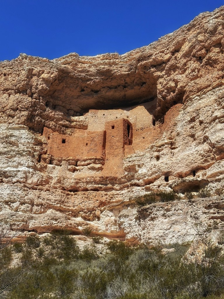
During our stay we decided to revisit Montezuma Castle National monument. This 20 room high rise, nestled into the limestone cliffs was the home of the Sinagua people who lived here 900 years ago.
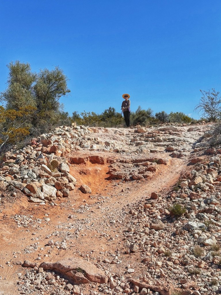
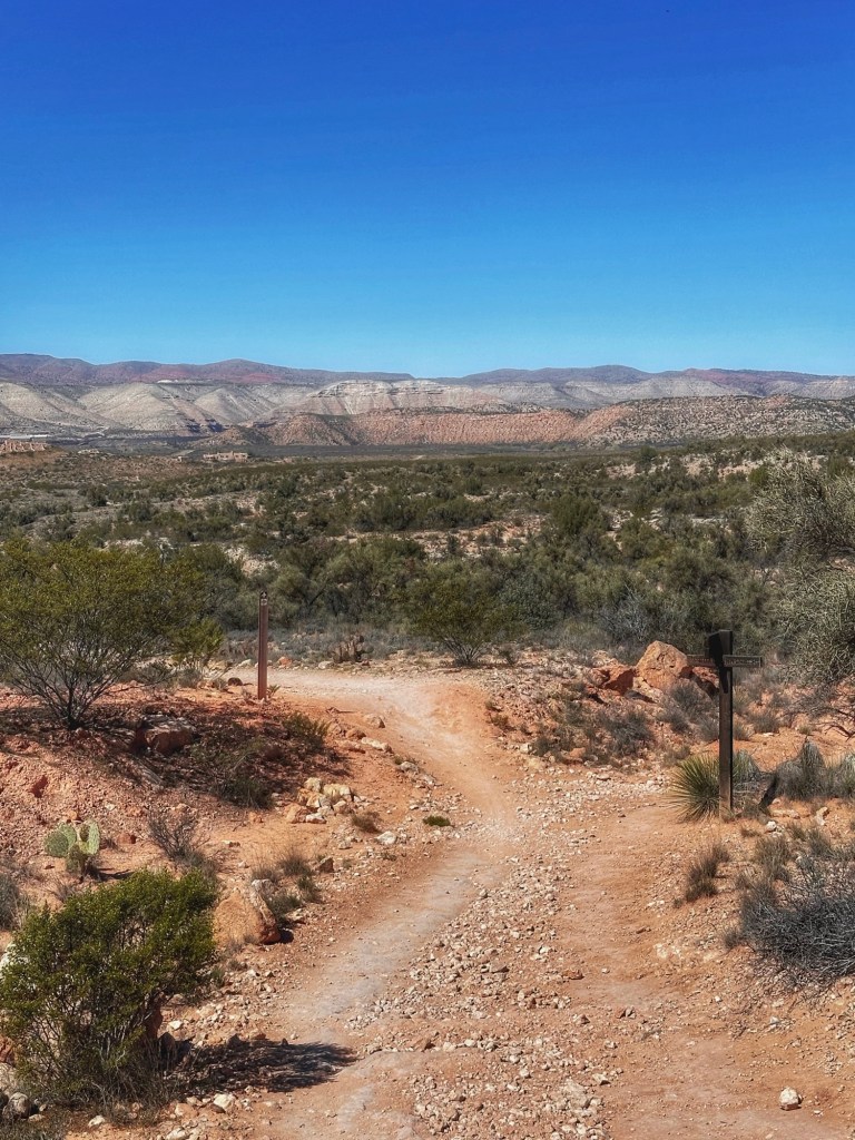
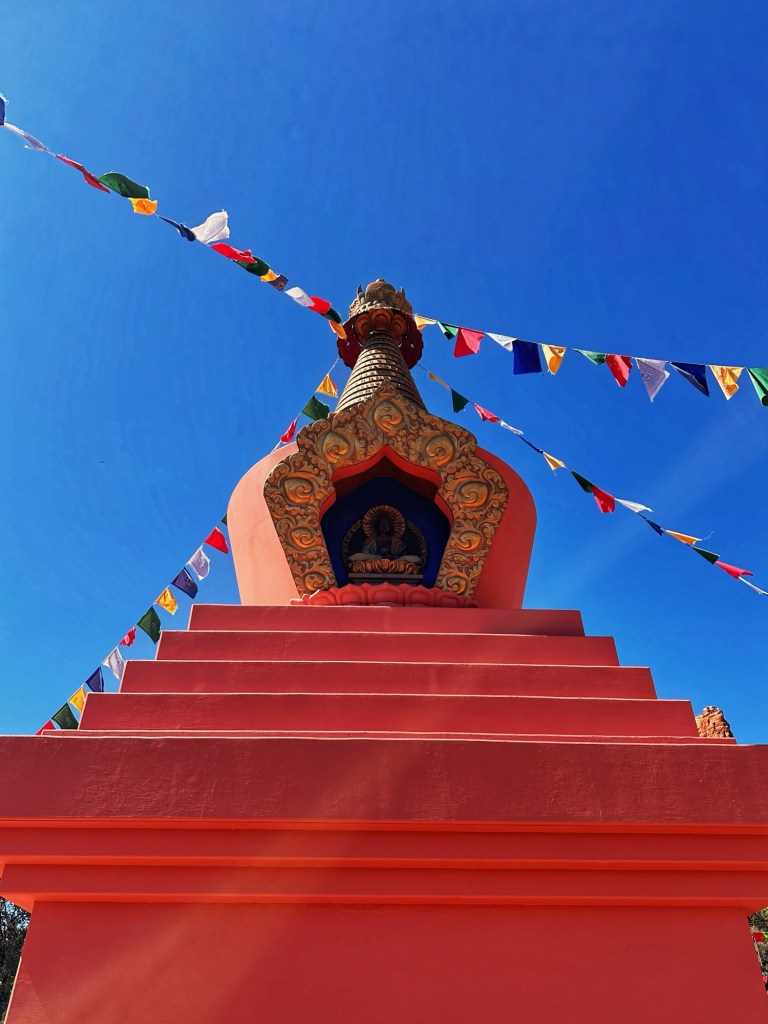
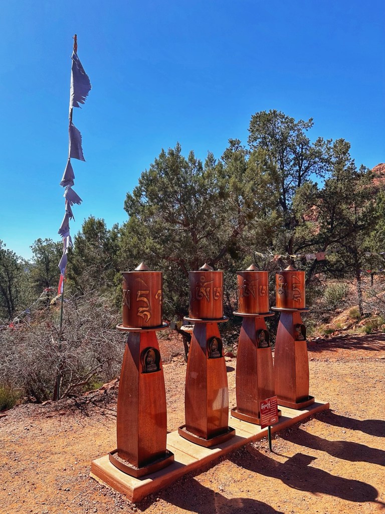
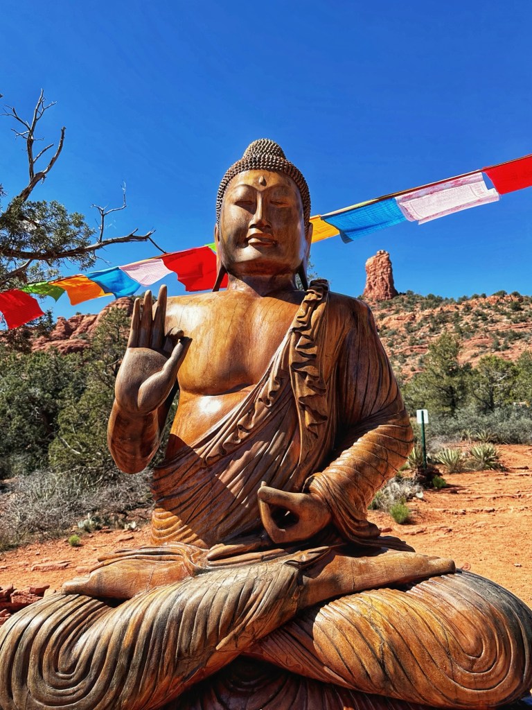
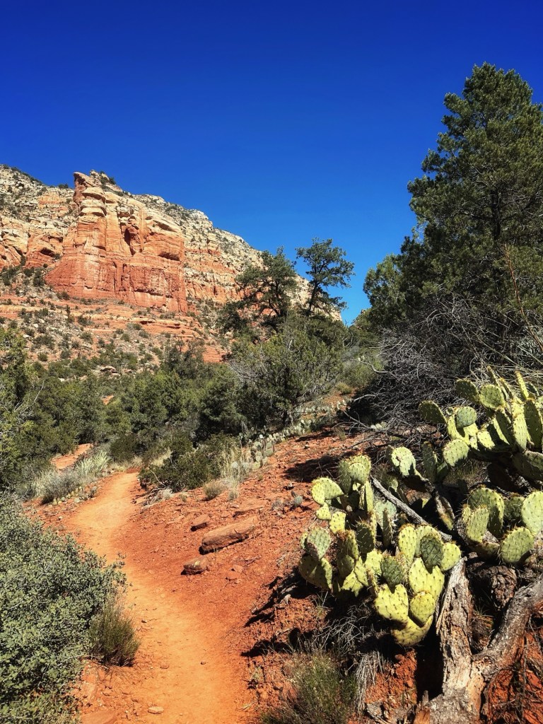
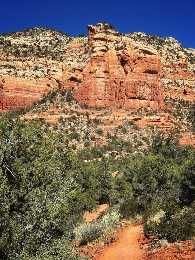
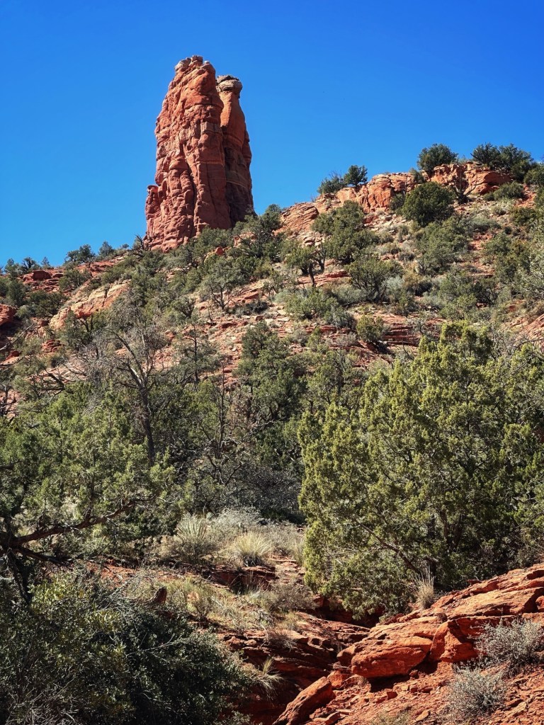
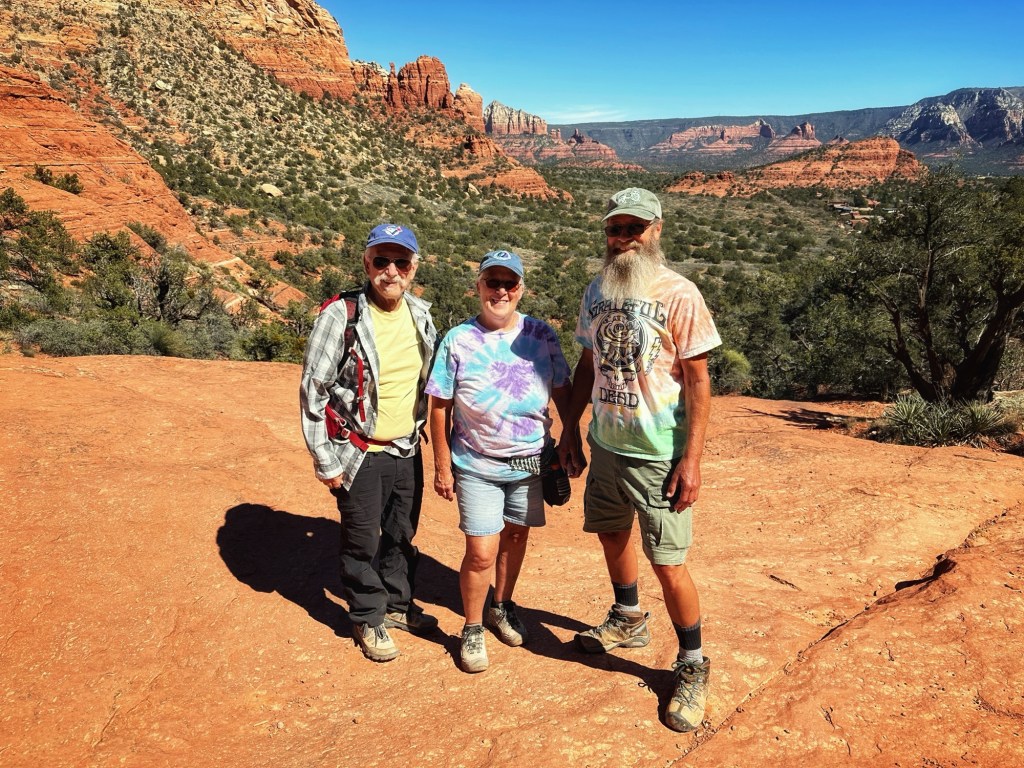
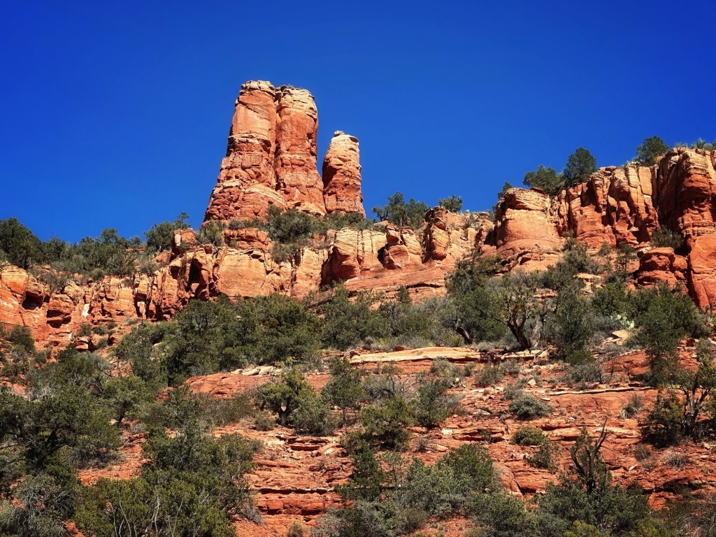
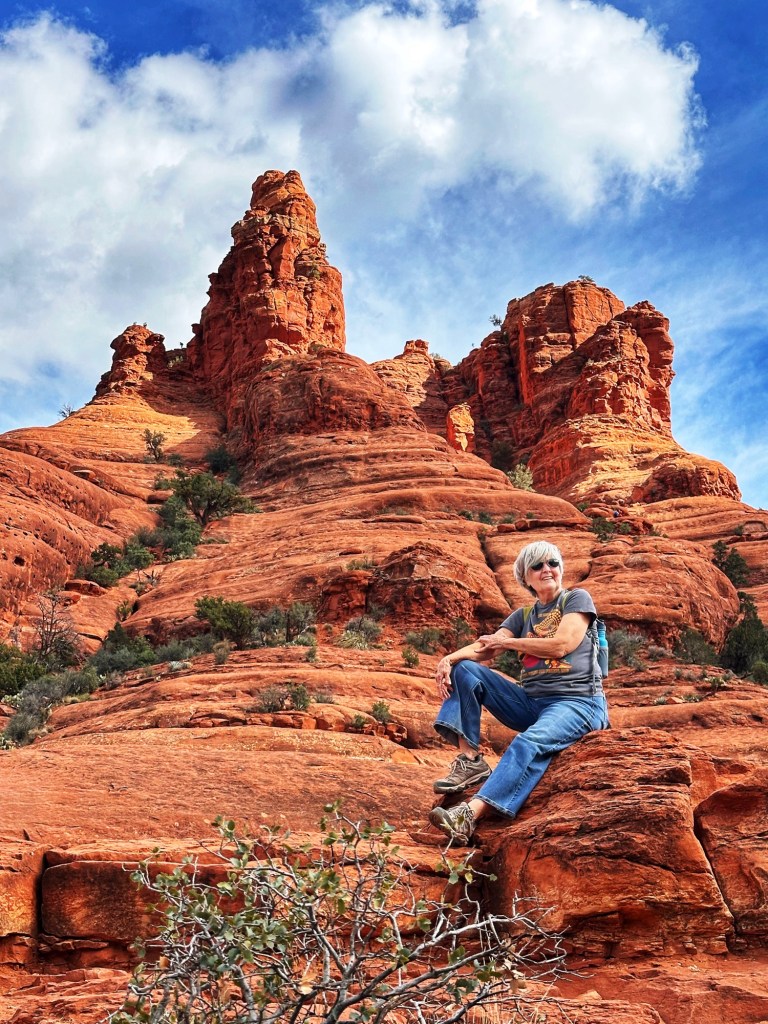
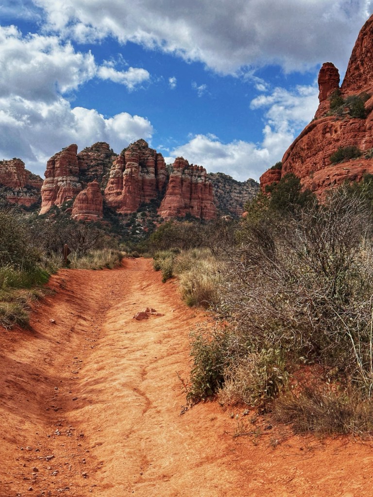
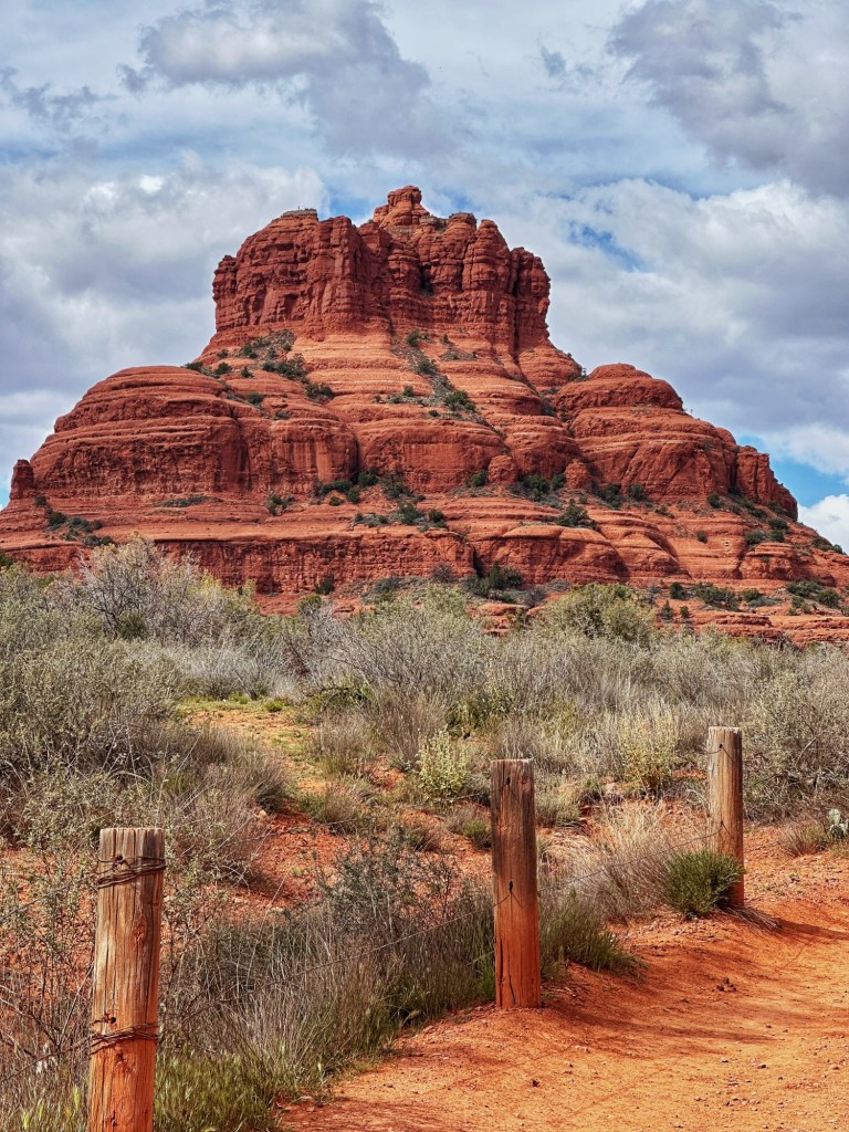
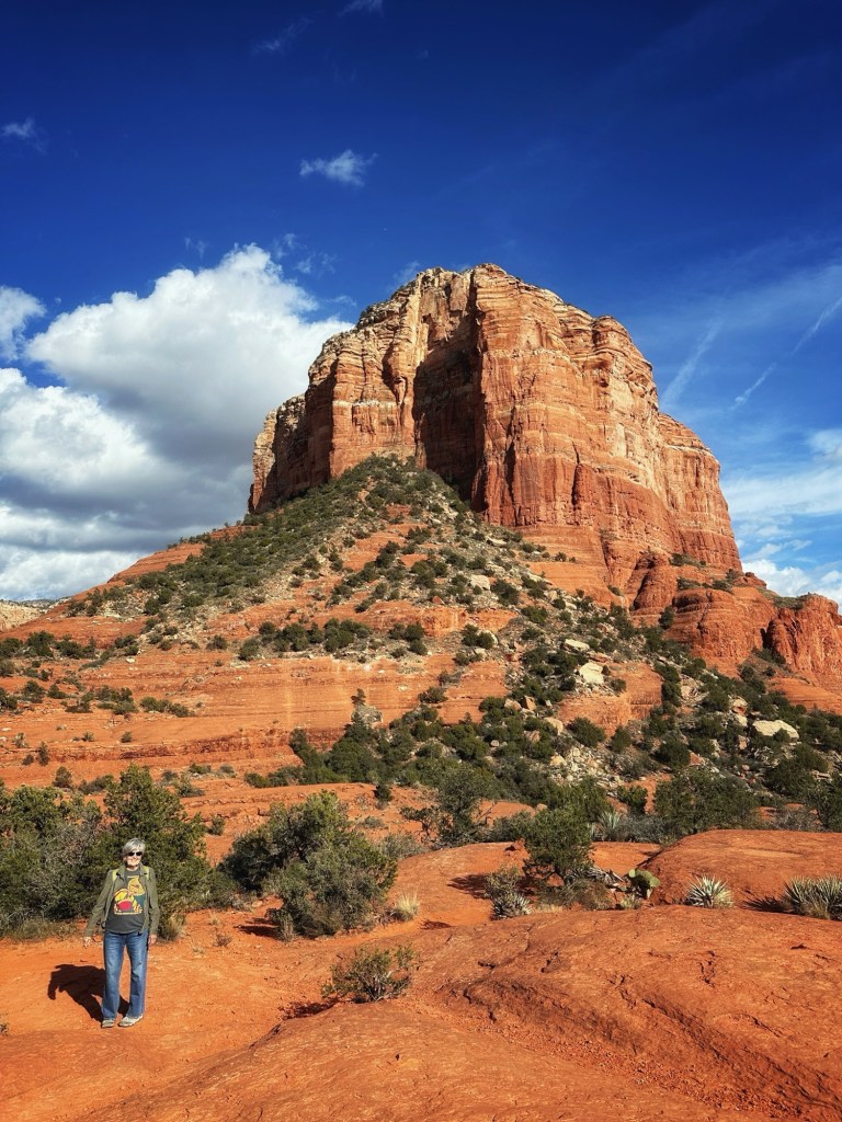
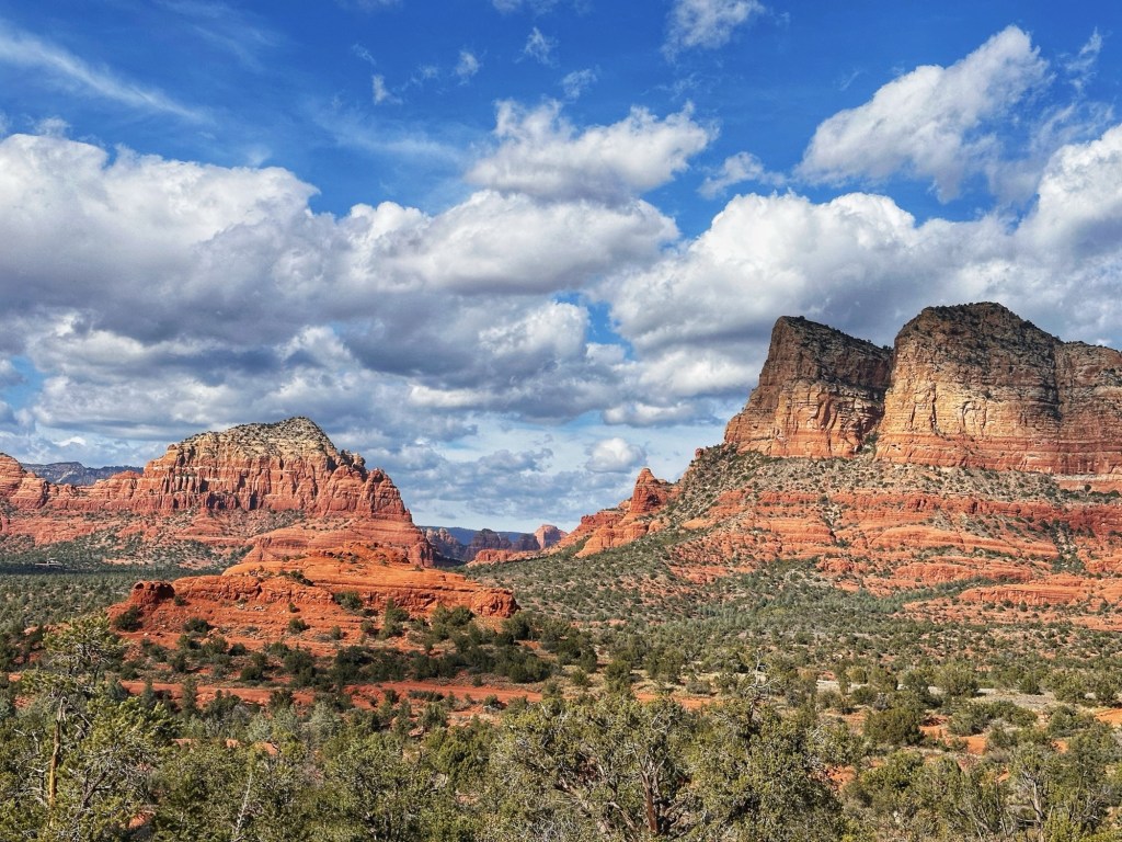
Our friends Lisa and Jim from Desert Trails were camping near by so we decided to meet up for a hike in Sedona. We choose the 3.5 mile Chimney Rock Trail. We visited the Amitabha Stupa and Peace Park near the trailhead.
The StupaPrayer Wheels: spin them as you walk clockwise and send positive intentions out to the world (we’re not sure it works but it couldn’t hurt)That’s Chimney Rock in back of Buddha Chimney RockShelly, Lisa and JimGreat views on the trailA back view of Chimney Rock
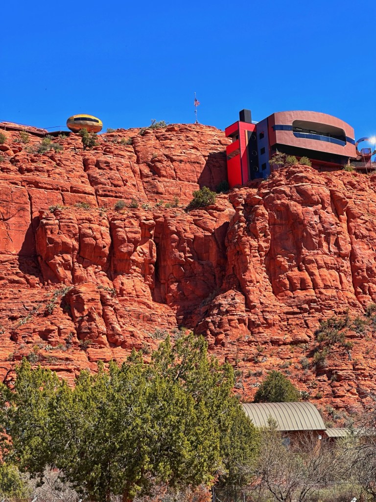
On our way to the trailhead we made a detour to checkout an amazing home called Red Tail Cliff.
Staying in one place can have its advantages. When we leave Desert Trails we will have been here three months. That’s a long time to a stay in one place. On the plus side, it gives you plenty of time to find your tribe. We’ve met some genuinely lovely people that we enjoy hanging out with. It’s great to find new hiking and biking buddies.
Barry, Pat, Shelly and Janice
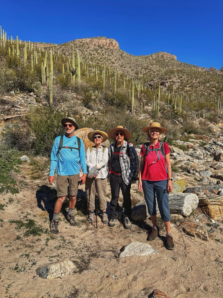
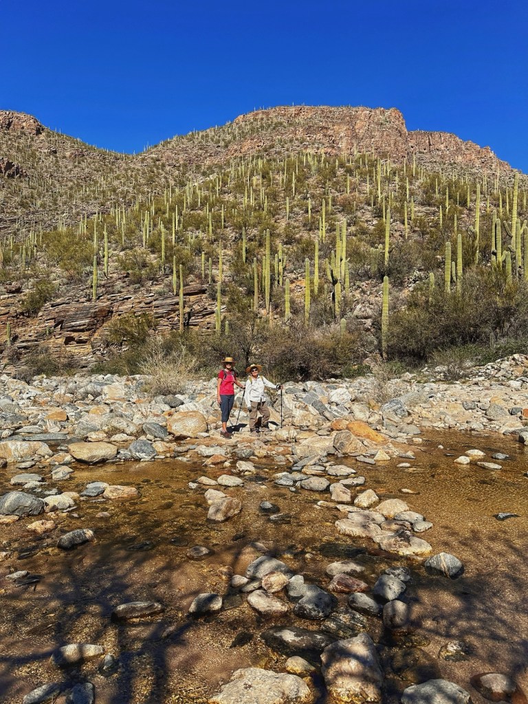
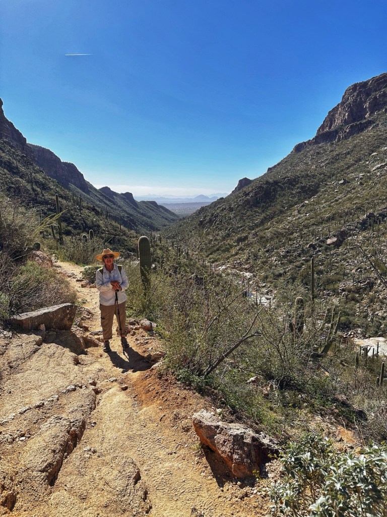
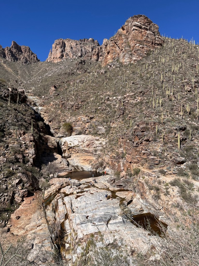
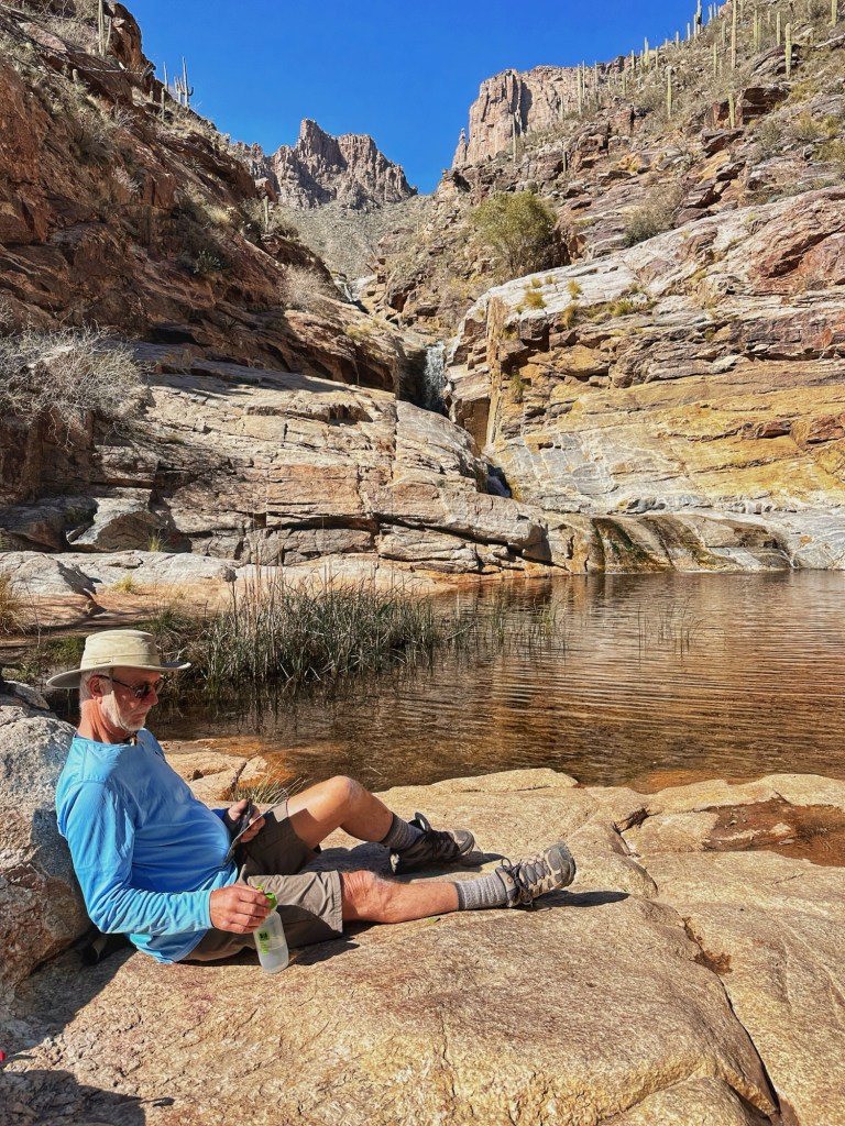
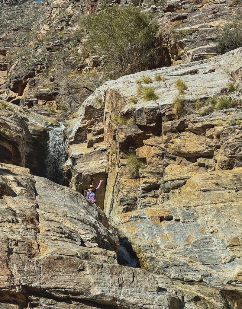
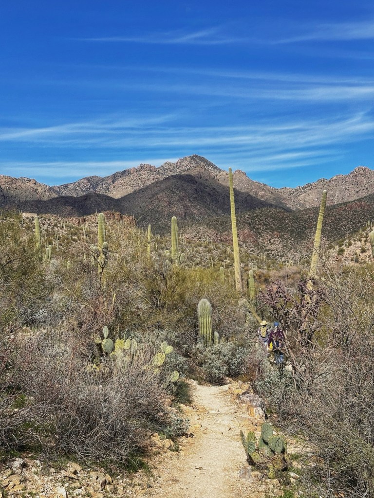
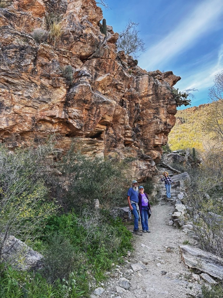
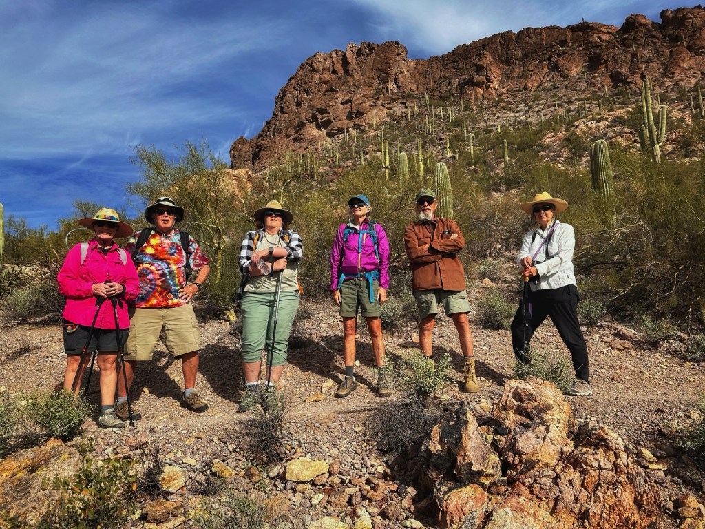
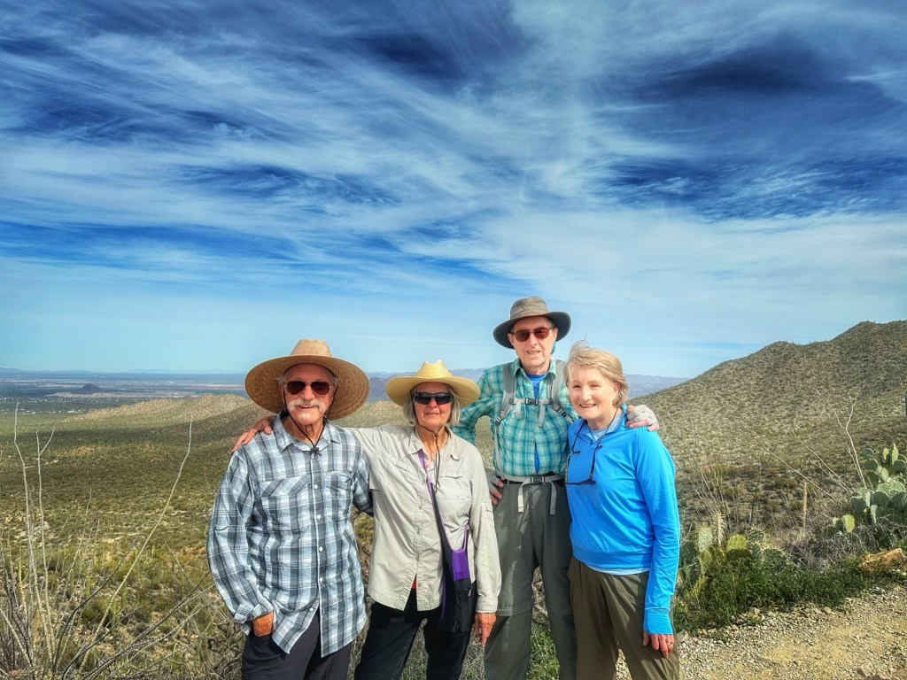
We met Barry and Janice on a previous stay at Desert Trails. Both are avid hikers and bikers. We teamed up with them to take on a Sabino Canyon hike along Bear Creek to the Seven Falls. This five + mile round trip hike requires five water crossings.
They made it with dry feet
It was a demanding hike but we made it.
A trail side view across the canyon toward the Seven FallsRelaxing before hiking backExploring the falls
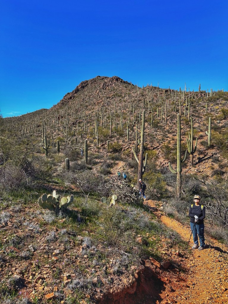
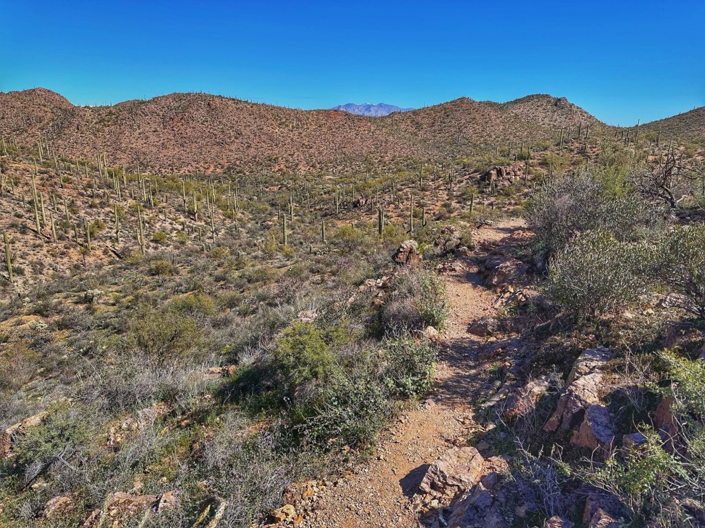
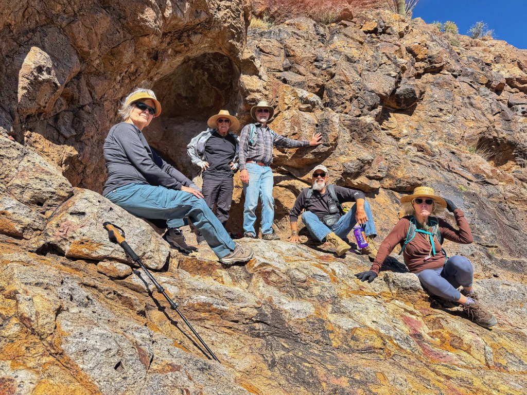
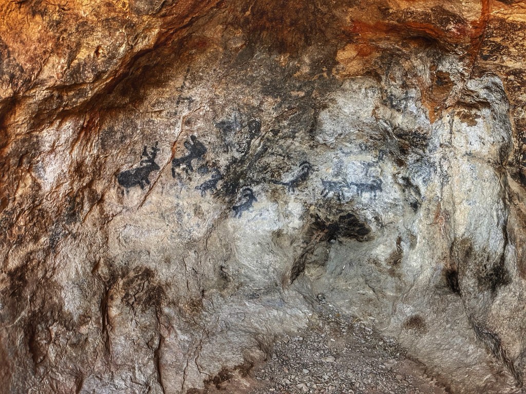
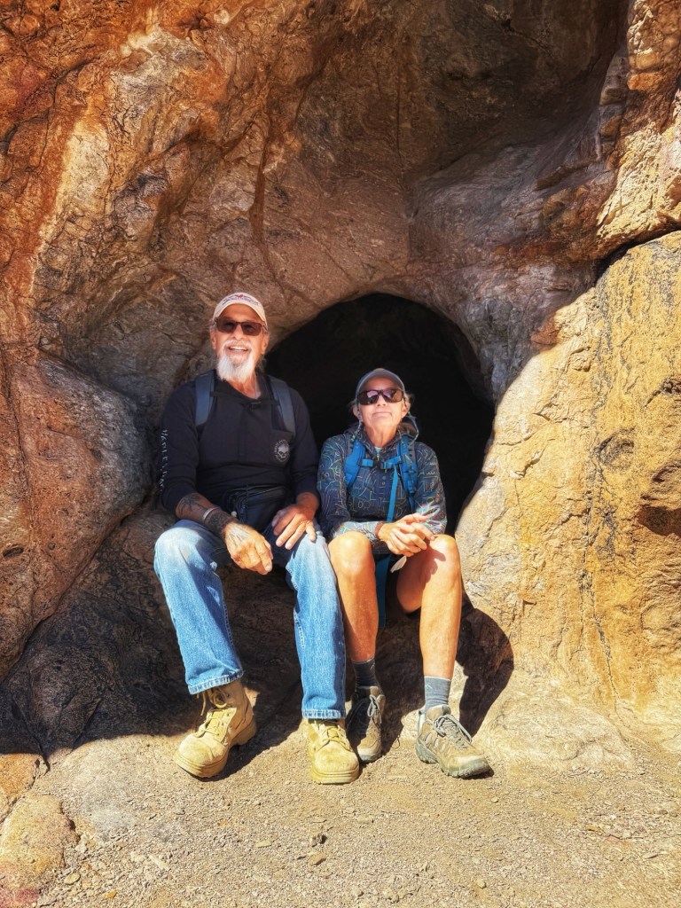
During this year’s stay we met a couple from the state of Washington, Fred and Anne. They told us about a little known cave above the David Yetman Trail that sports pictographs. Barry and Janice joined us and we headed out.
An abandoned homestead along the trail
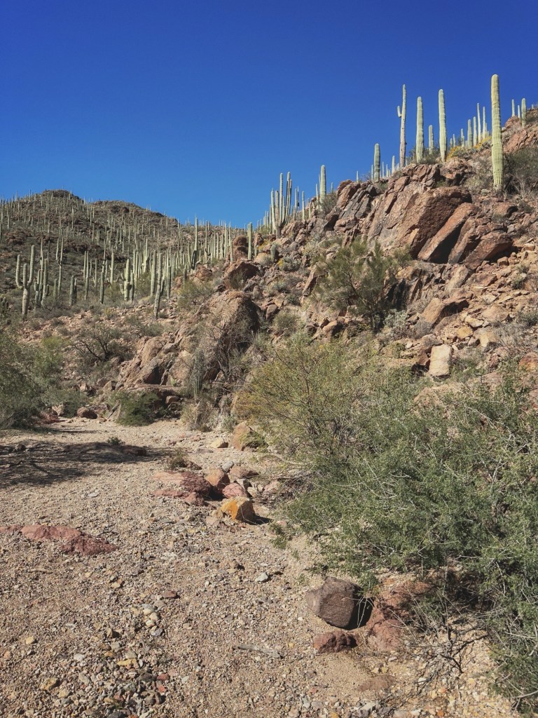
The trail winds through desert washes and hills.
The final ascent to the cave is a hand over hand scramble to get to its mouth.
Pat, Shelly, Barry, Fred and JaniceThe pictographs Our fearless leaders- Fred and Anne
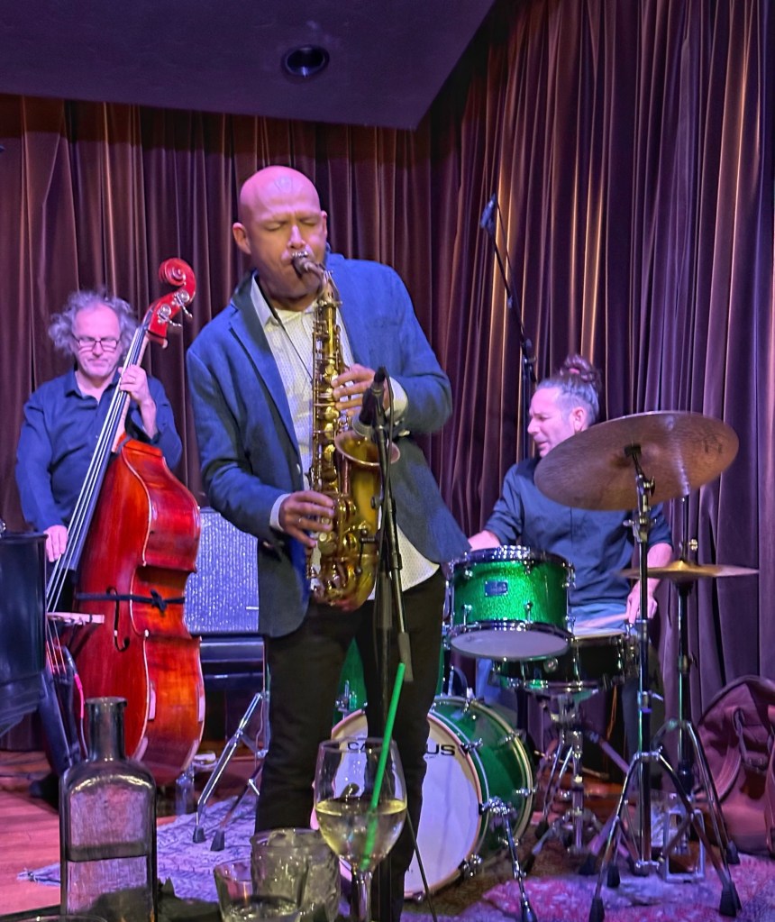
They even took a chance and went with us to our favorite downtown Jazz club, the Century Room, to hear a tribute to John Coltrane.
During our stay this year we met Lisa and Jim, a couple of full time RVers. We decided to spend some time together hiking the Sabino Canyon Dam trail.
Pat, Lisa and Jim
The trail starts out fairly flat but eventually starts gaining altitude.
Blackfoot Daisies The Dam
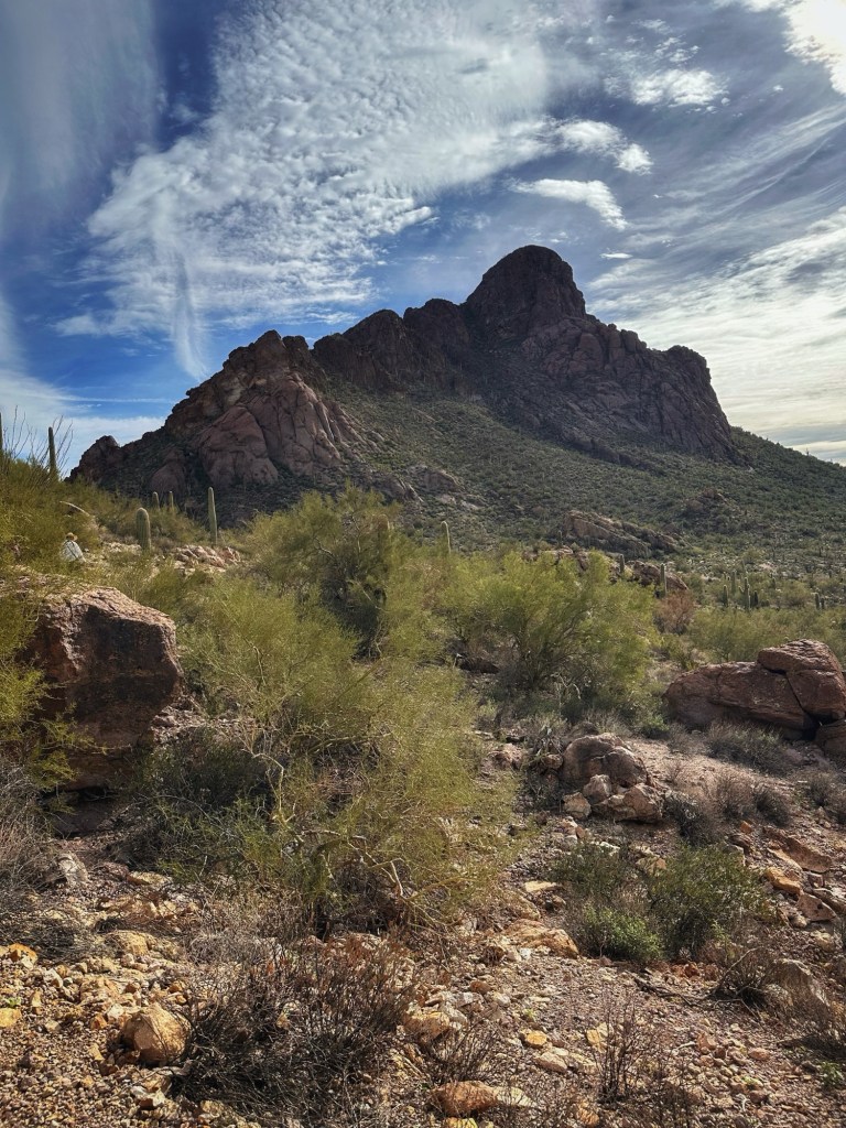
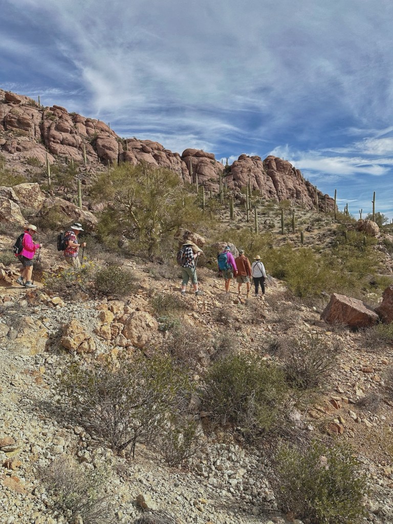
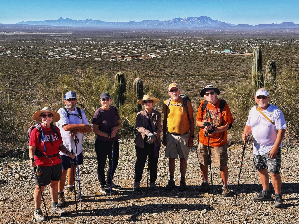
One of the trails near camp is the Little Cat Mountain loop. We organized a group hike and met at the trail head.
Shelley, Brian, Lizz, Anne, Fred and PatLittle Cat Mountain And we’re off!
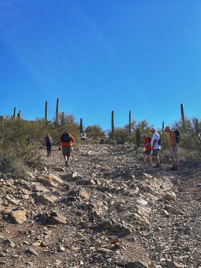
Doug and Tim organized a Sunday hike to an old mine opening in a part of Tucson Mountain Park that we were unfamiliar with. A group from the RV park met up and headed out.
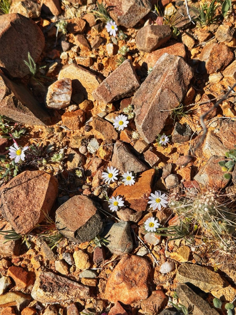
Recent rain helped bring on some spring wild flowers.
Our goal was to work our way up a hill for a view of the surrounding desert.
Shelley, Tim, Janine, Pat, Greg, Brian and Doug
We’ve enjoyed our time in Tucson and hanging out with the terrific folks at Desert Trails RV. We are moving on but hope to return in a couple of years. We’ll miss our new friends and those fabulous desert sunsets.
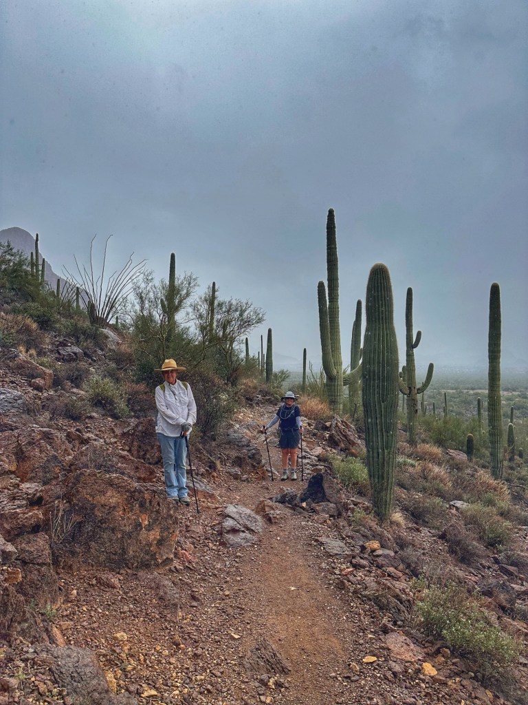
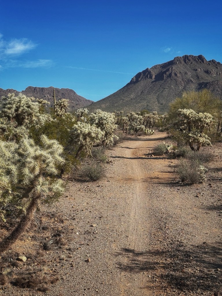
We’re comfortably ensconced here at Desert Trails. RV life necessitates some mundane routines: there are tanks to empty, groceries to procure, as well as cleaning up around camp. On the bright side we have easy access to the desert and a vibrant community of like minded campers. One of our neighbors told us about a nearby trail system we had not explored so we decided to make the short drive to the Sarasota Trail Head.
The trail ascends to a high point for views of the surrounding desert.
Lunch on the trail
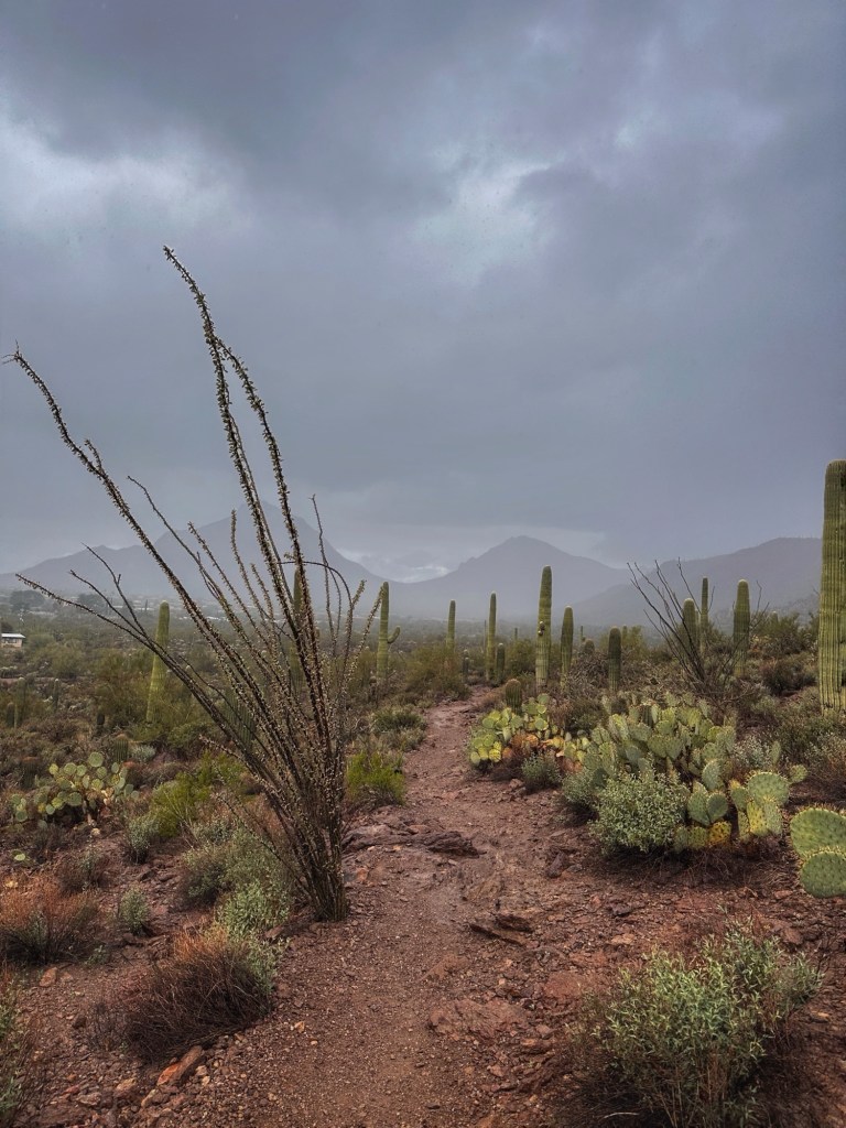
We went back New Year’s Day for our first hike of the year but had to cut it short due to rain.
Pat and Shelley
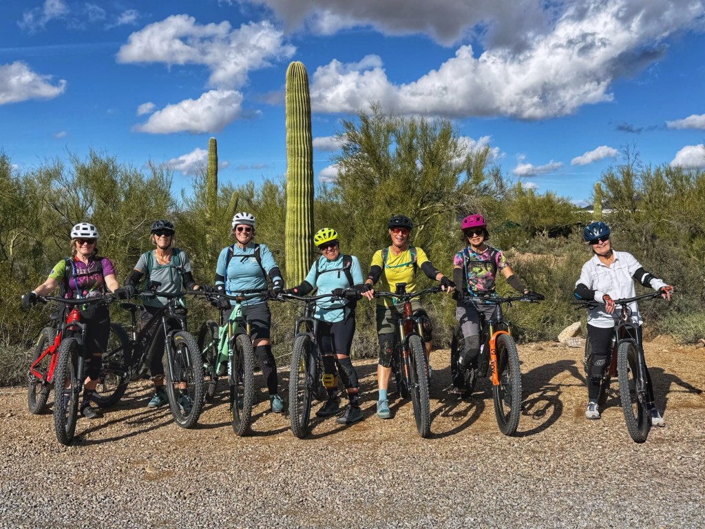
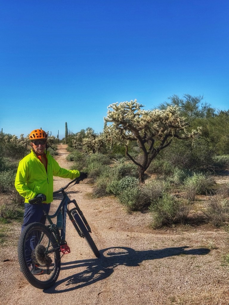
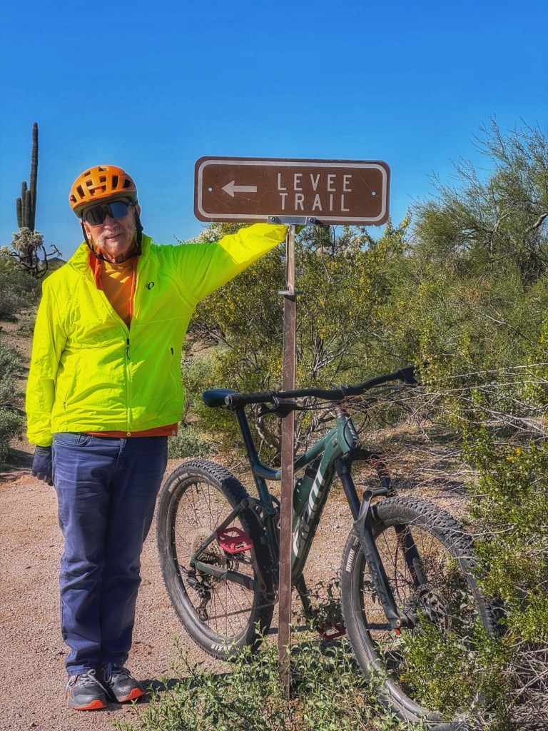
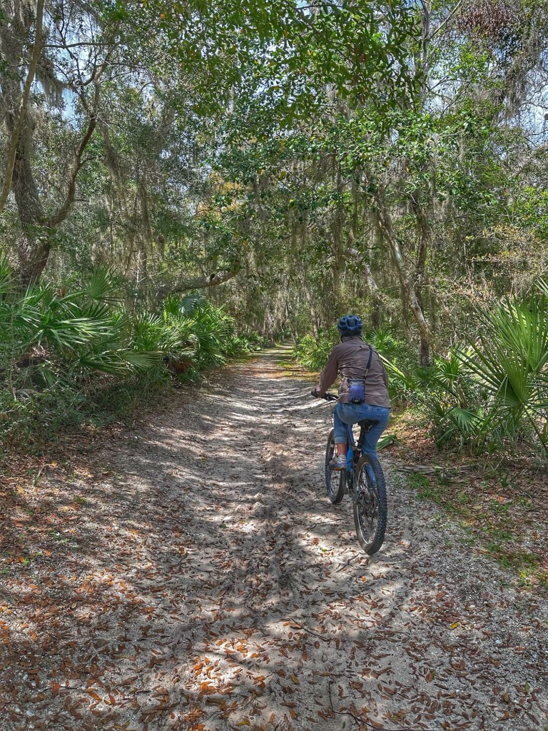
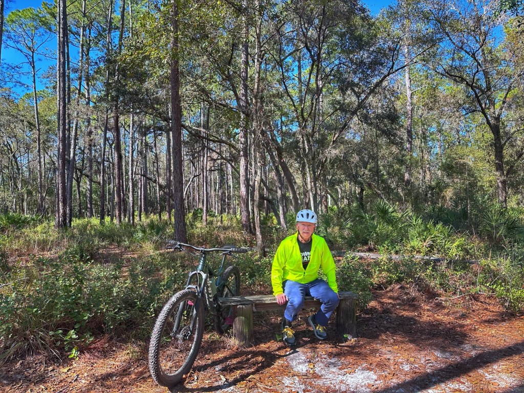
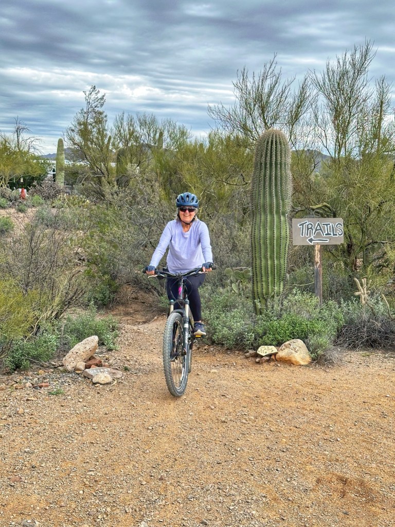
Mountain biking continues to be a preferred activity here at Desert Trails. Pat has hooked up with group of women who are seasoned mountain bikers and have been coaching her to improve her skills.
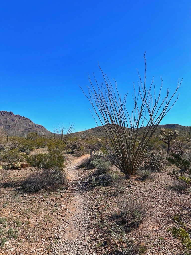
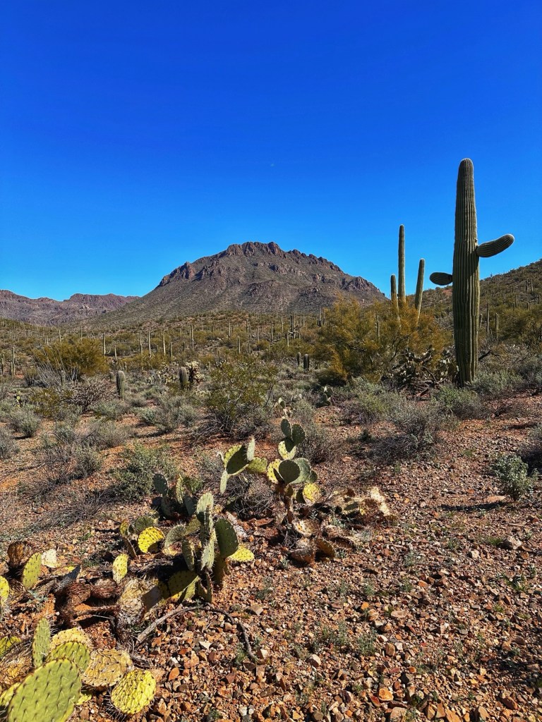
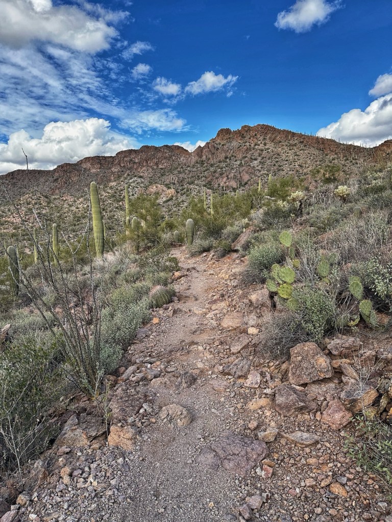
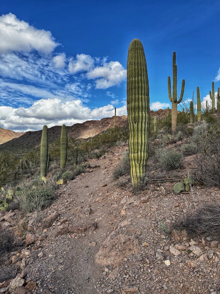
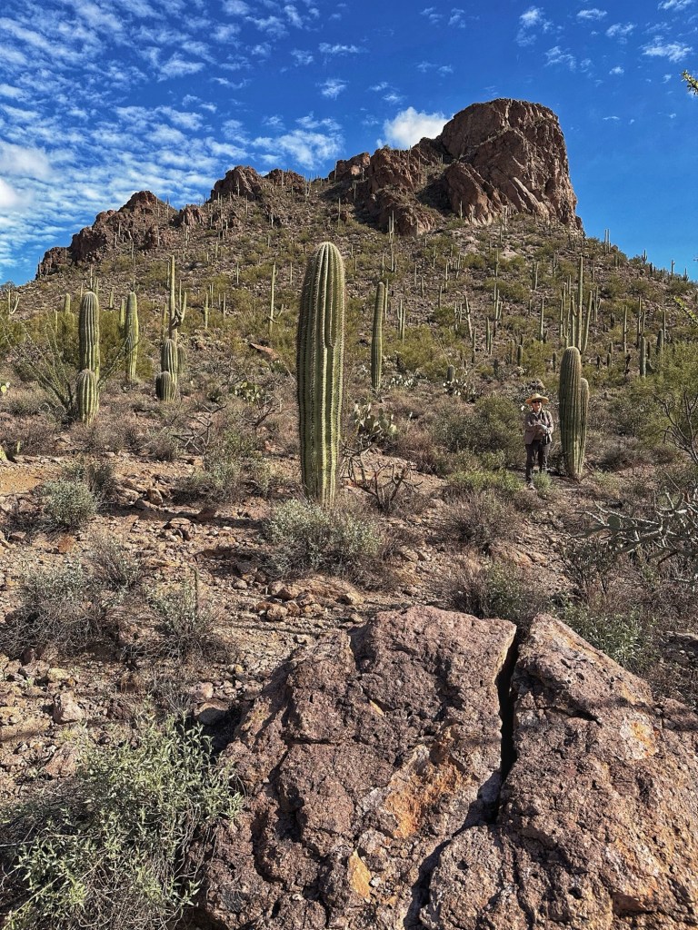
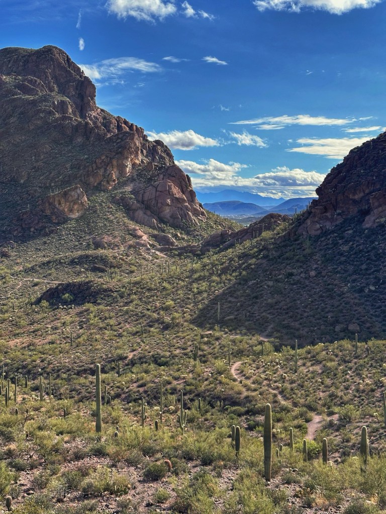
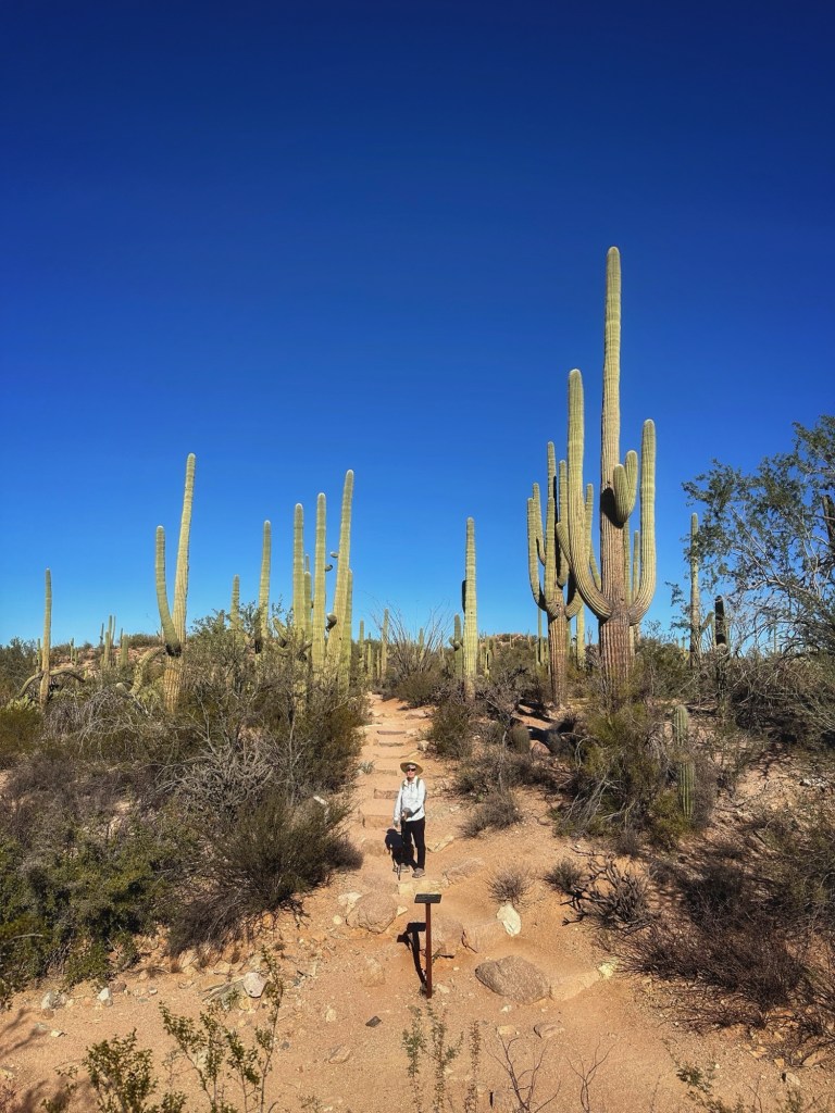
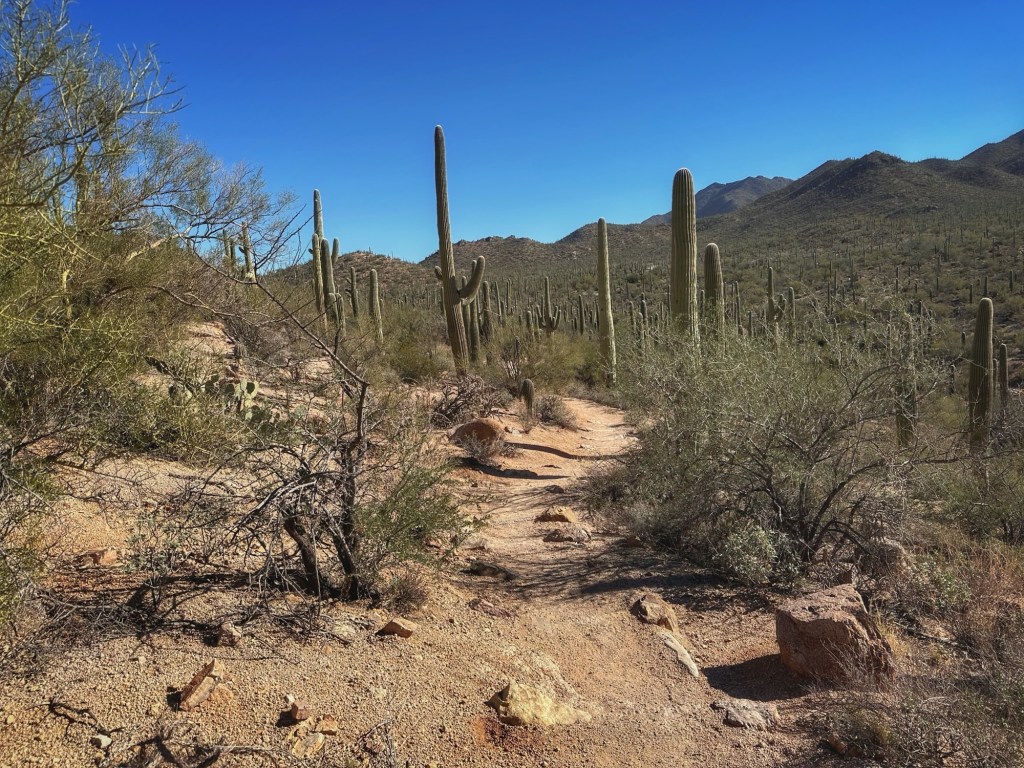
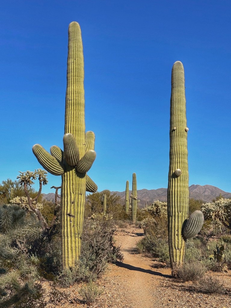
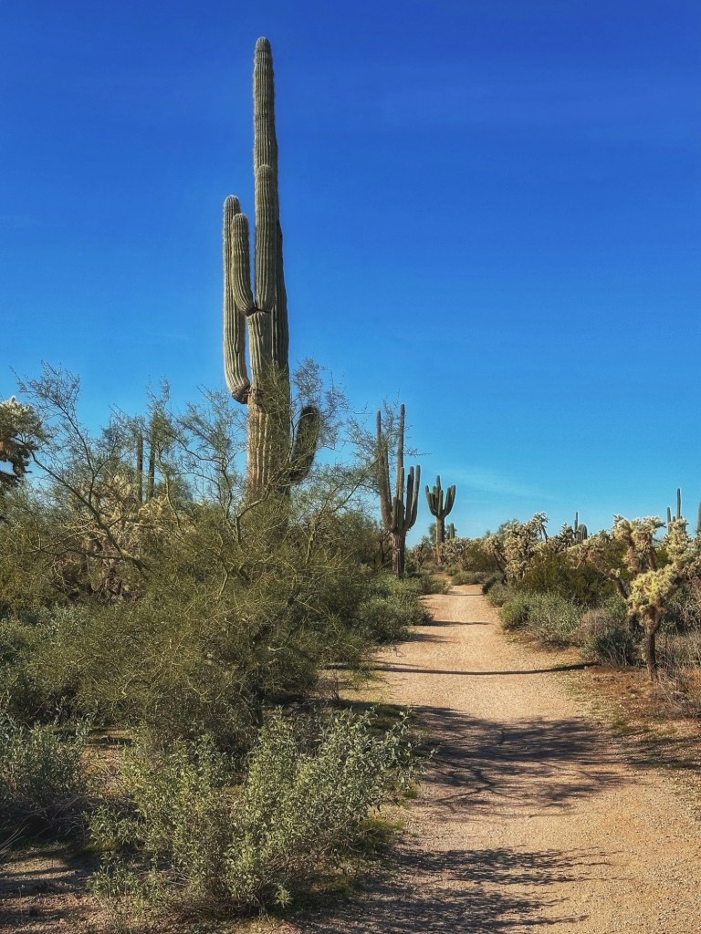
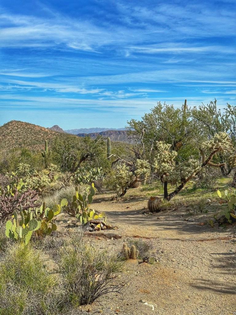
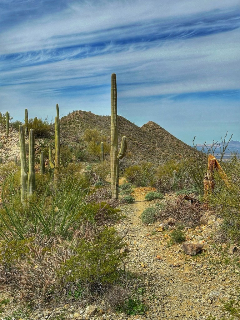
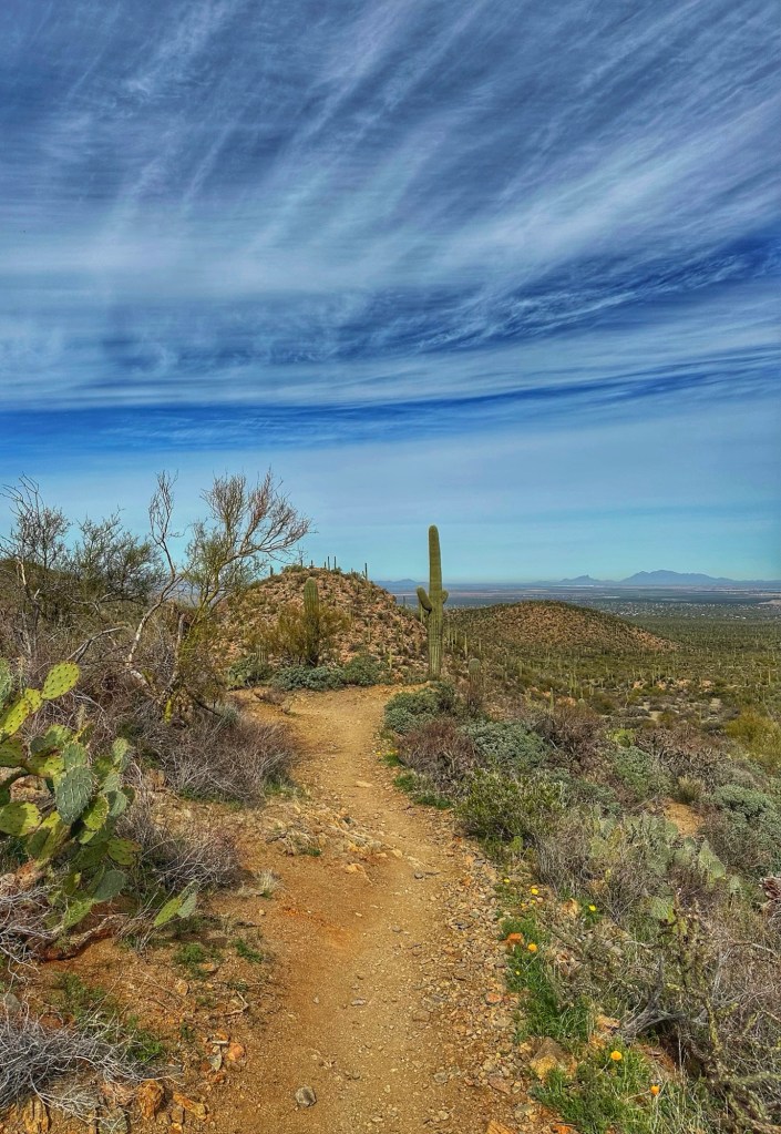
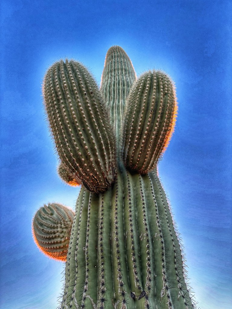
Desert Trails RV Park is also a short drive to the Saguaro National Park. The park has a lovely scenic drive and lots of hiking trails. We chose the Valley View Trail for a morning hike.
A short distance from the park is Gates Pass, a popular spot for watching the sun set.
Every day brings more opportunities to watch the sun set…
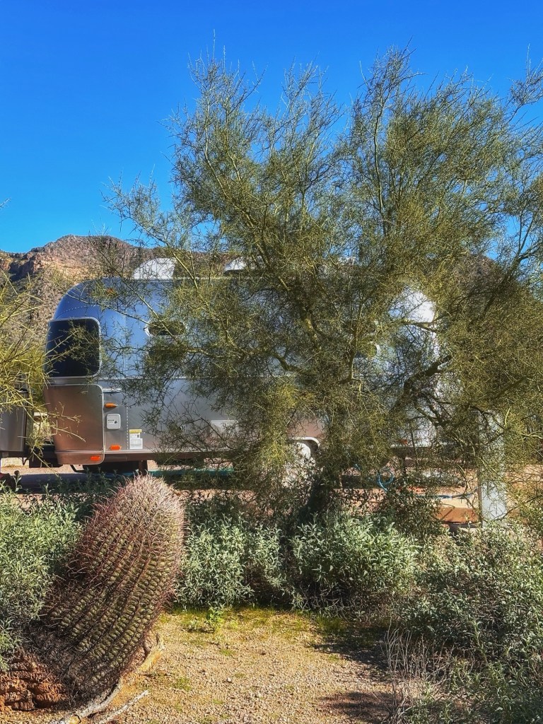
We’ve moved to south Tucson to a private RV Park for an extended stay. The plan is to stay here for the next three months. We’ve been here before and have enjoyed our stays. Between the proximity to the desert and the park community we feel right at home.
Site 86 at dusk
We reconnected with Shelley and Brian, some folks we hung out with on our last visit to Desert Trails two years ago, .
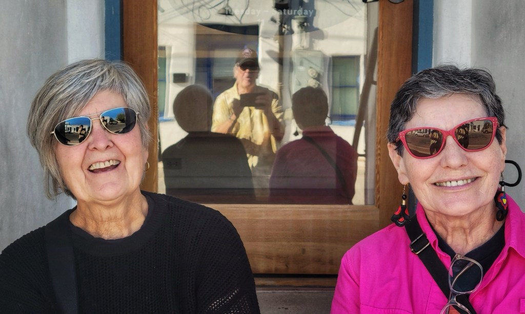
Pat and Shelley with Brian’s reflection (Thanks for the image Brian)
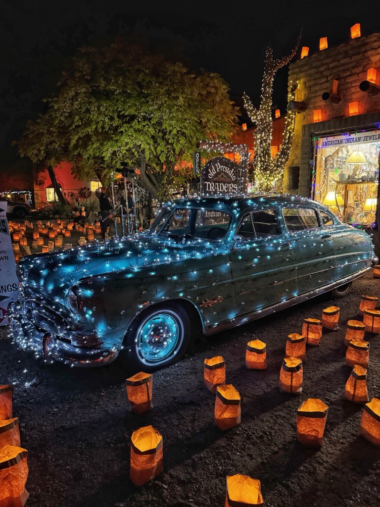
Shortly after arriving Pat, Shelley and Brian drove south to Tubac, a historic town near the Mexican border. They were having their Festival of Lights which featured lots of luminaries. Shelly had to stay back to sleep and fight off a cold.
That’s a Hudson Hornet
We also reconnected with another old neighbor from past visits.
Great Horned Owl
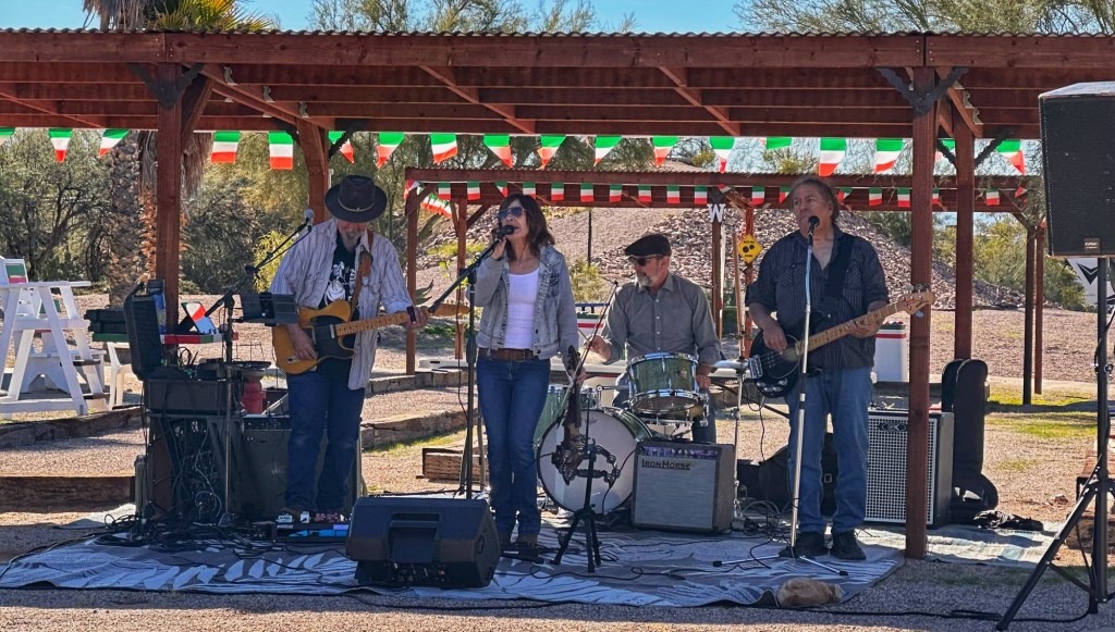
The park has a group of residents that gets together and invites local bands to play at the park once a month. We arrived in time to enjoy the first concert of the season, the Heather Harding Band. Heather is a Tucson blues legend who plays violin and sings. It was a terrific show.
The Heather Harding Band
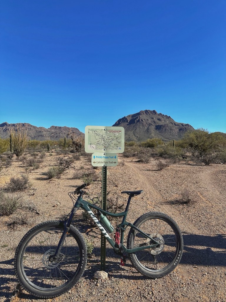
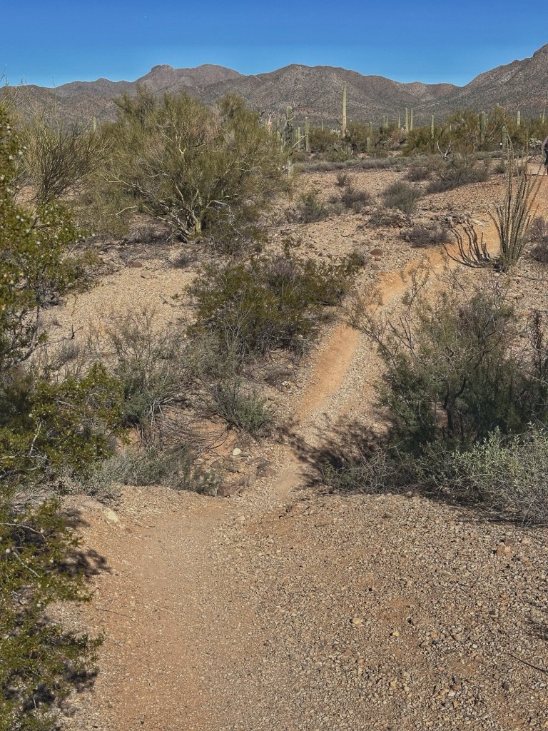
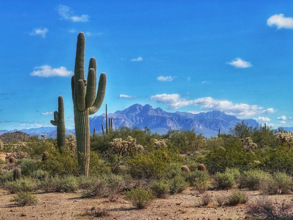
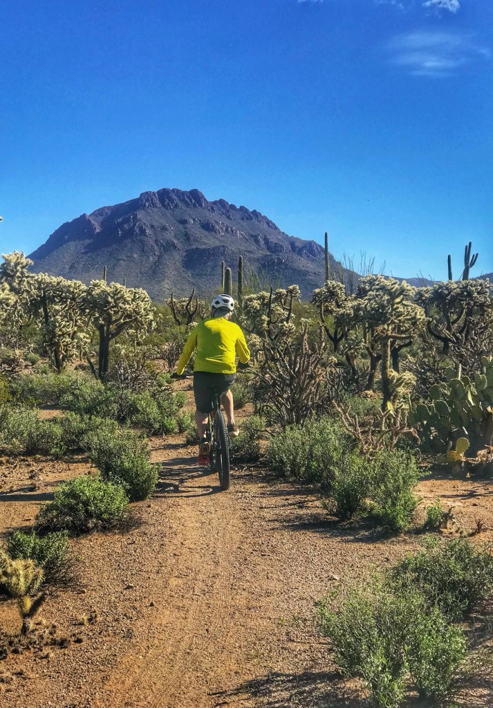
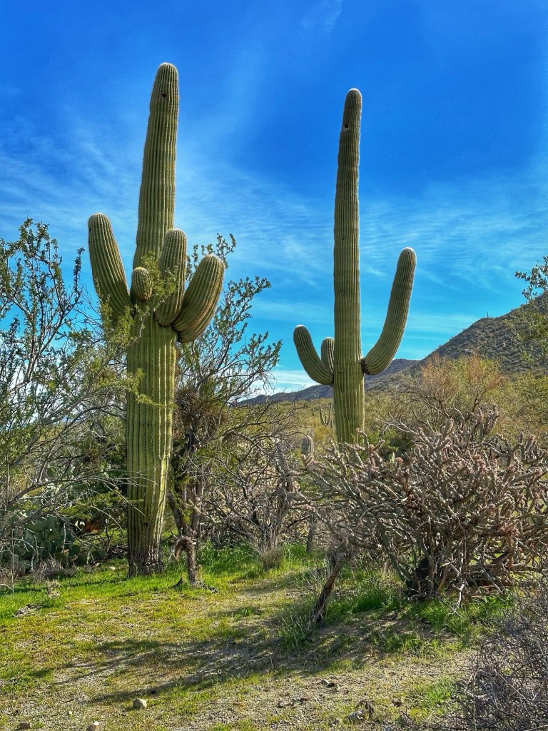
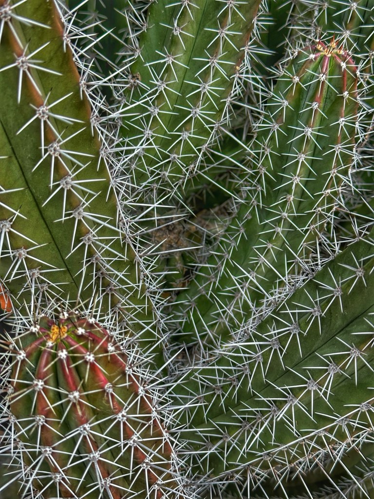
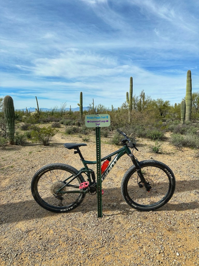
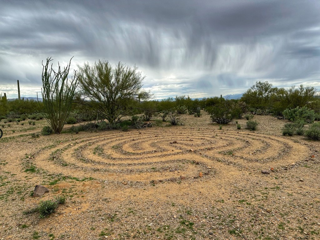
The proximity and easy access to the desert for biking and hiking is the real draw here. The RV Park borders Tucson Mountain Park with 62 miles of trails. The park was established in 1929 and encompasses 20,000 acres. There’s a lot to explore.
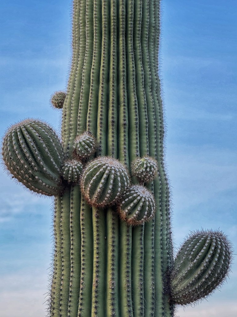
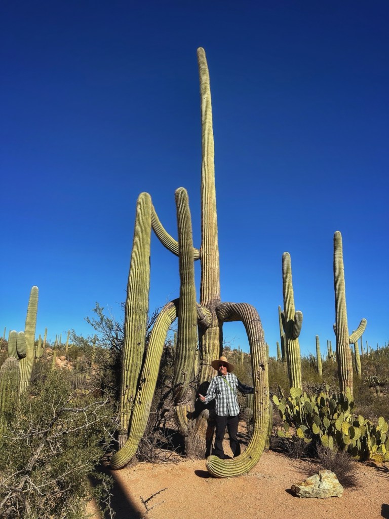
Golden Gate MountainOne of the many washes on the Ironwood TrailCrested Saguaro
A crested saguaro is a rare mutation that occurs in 1 in 20,000 normal saguaros. The reason for this fan like mutation are unknown but thought to be from genetics, frost, or lightning damage. This one is a short bike ride from camp.
A view outside our door
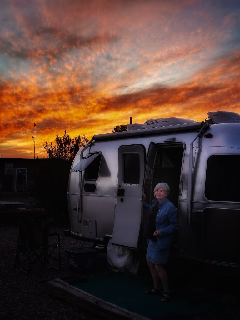
Sunsets in Arizona can be intense. This one is from this week
With Tucson in our rear view mirror we headed north to Phoenix or more accurately east of Phoenix in Mesa.
We landed in Usery Mountain Regional Park, one of our favorite Maricopa county parks.
Site 67
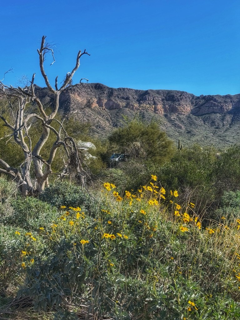
The recent rain has made the desert very happy and green.
We spend our days biking and hiking the desert and it just doesn’t get old.
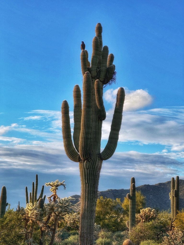
While riding the trails at dusk we passed a saguaro with a Harris hawk at its nest.
The Harris Hawk is an interesting bird of prey in that they hunt cooperatively in packs. They are referred to as “wolves of the sky”.
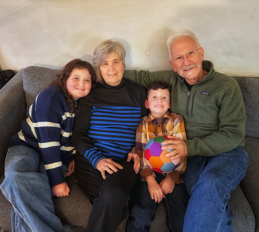
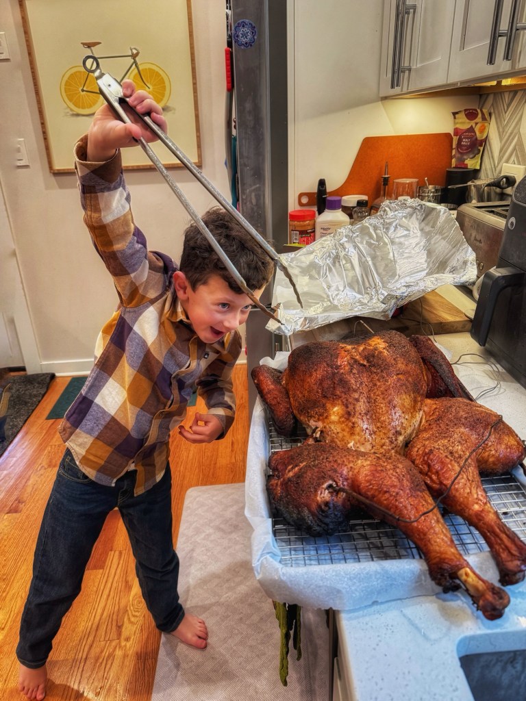
We took a break from riding and flew to Chicago to celebrate Thanksgiving with our son and his family.
We sure had fun with these guysThe Helper
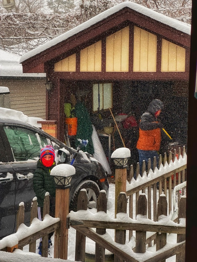
While visiting we got a taste of the weather we’re escaping.
It was touch and go with the weather but we did make it back to Phoenix in spite of the airport delays.
Our backyard view
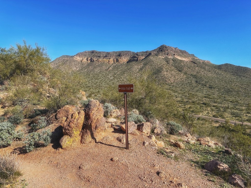
On our first day back at camp we decided to take a short hike along the Vista Trail.
That’s Pass Mountain in the background 
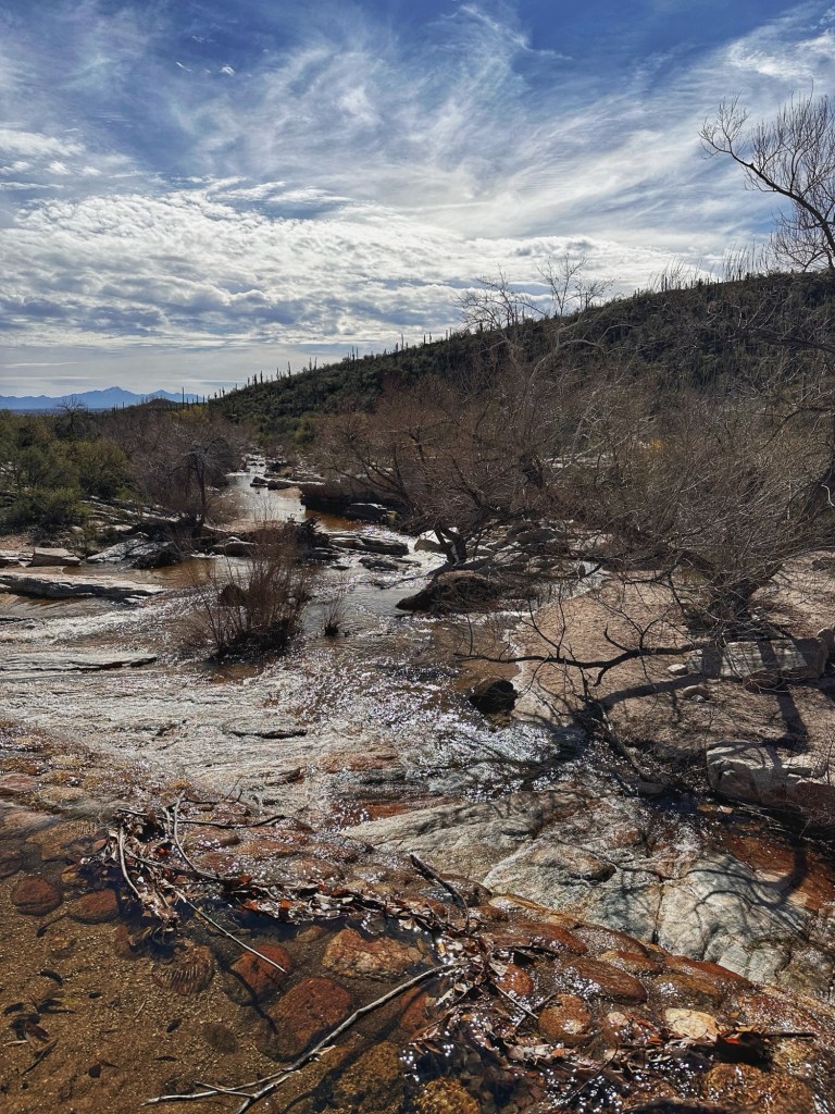
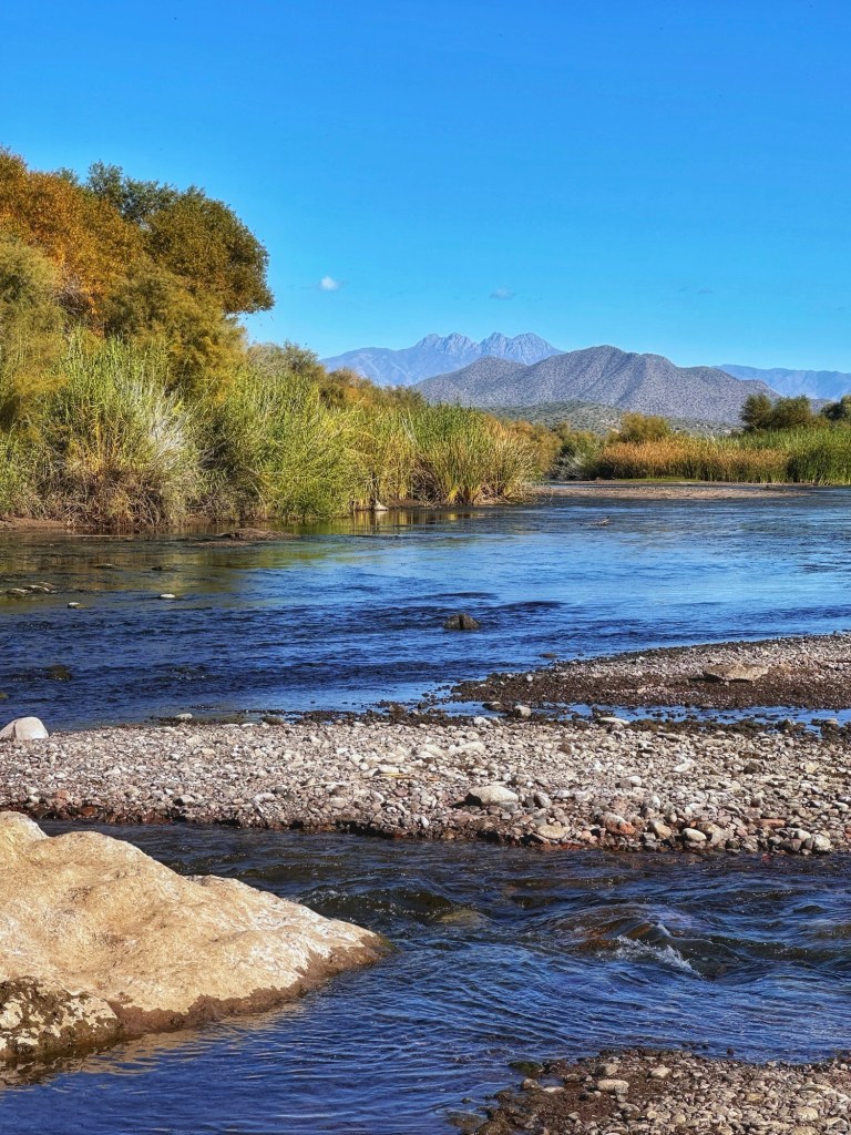
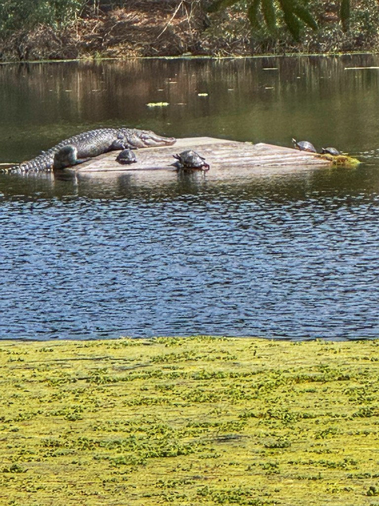
After our hike we drove over to the Tonto National Forest and the Salt River where wild horses can be seen. We didn’t see any horses this trip but it’s always magical to be around water while in the desert.
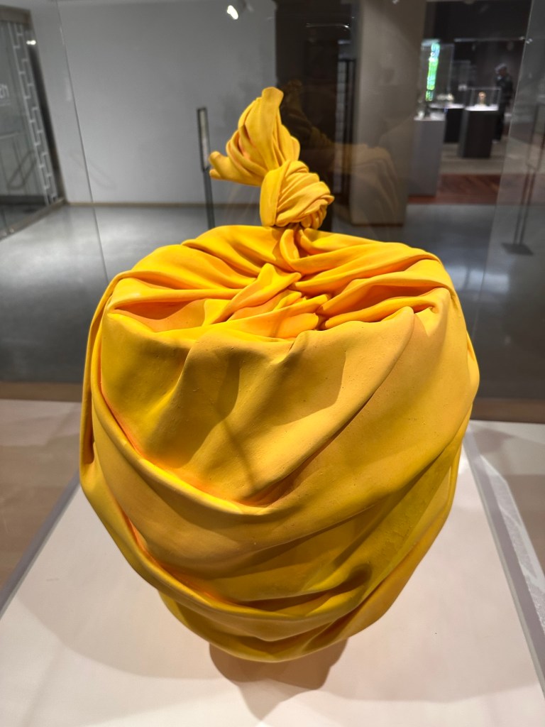
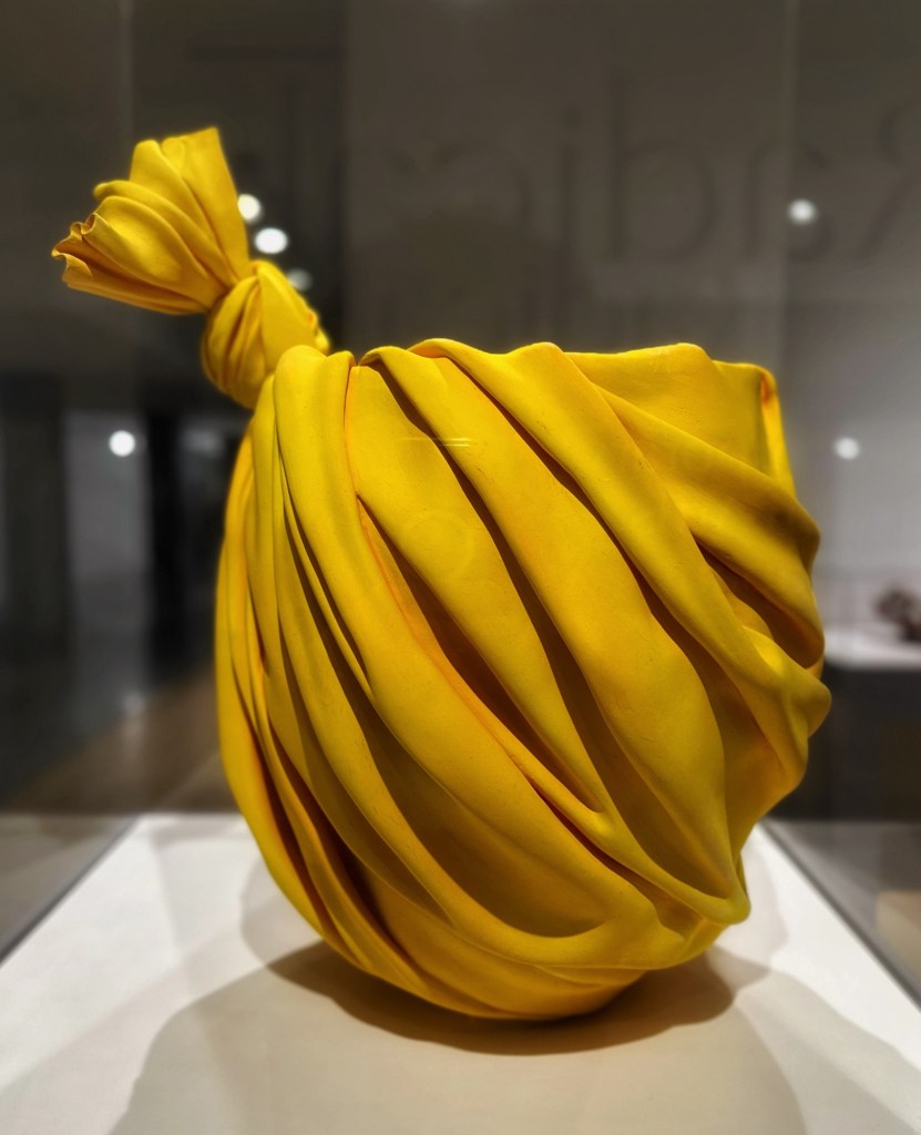
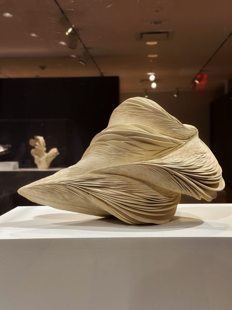
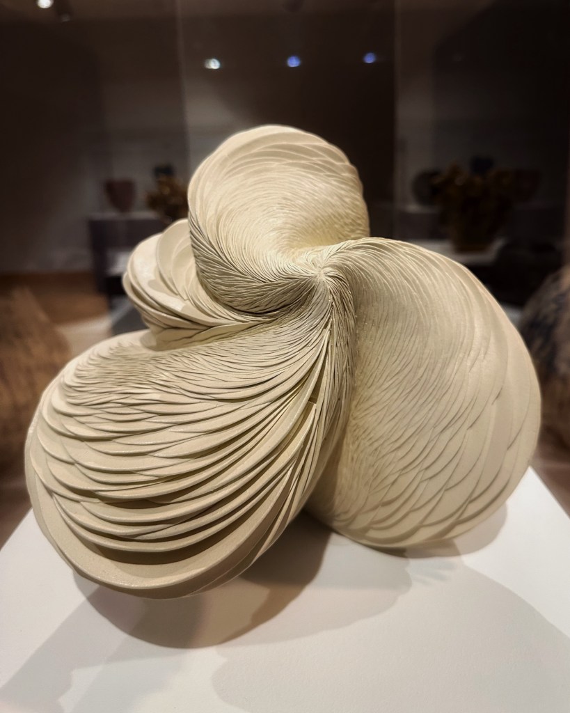
Phoenix has many wonderful museums to explore. This trip we stopped at the Phoenix Museum of Art. We were drawn there by a special exhibit called “Radical Clay: Contemporary Women Artists From Japan”.
Tanka Yu- Bag Work, glazed Shigaraki stoneware
Yes. This is made of clay. We kept returning to this piece in awe of the skill that was required to create this sculpture.
Back at camp we filled our final days at Usery Mountain Park hiking, biking and birdwatching.
Rosy-Faced Lovebirds
These lovebirds are not native to Phoenix but descendants of escaped pet birds. Local legend holds that the birds escaped from an overturned delivery truck bound for a pet store. Regardless of how they showed up they are thriving in Phoenix.
Super moon over Pass Mountain They spelled it wrong
We’ve had a lovely stay but it’s time to head back to Tucson.
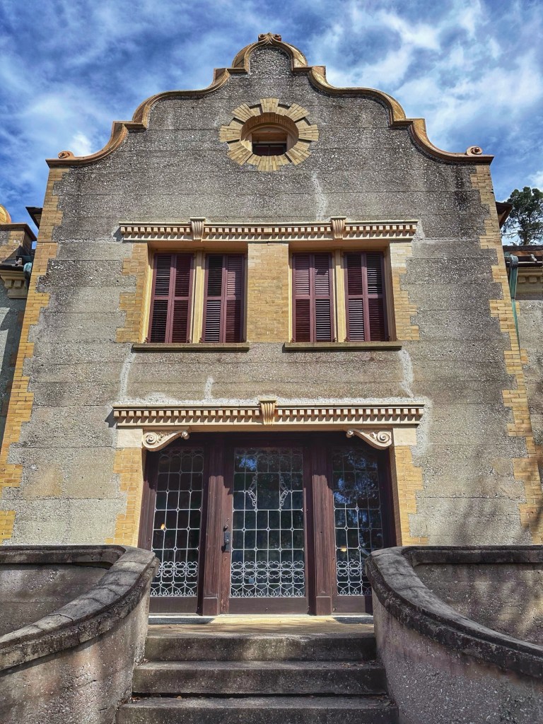
Jekyll Island is a barrier island on the southern coast of Georgia. The island is 7miles long and 1 1/2 miles wide with 24 miles of bicycle trails. The island was purchased by the state in 1947 and it became a state park the next year. We booked a camping spot in the only campground on the Island.
Site B18
The island was given its name by James Oglethorpe, the English general who was responsible for establishing an English colony in Georgia. He named it after his friend and financial supporter Sir Joesph Jeykell.
Apparently, there’s a place for Shelly on the island
We spent most days biking the paths around the island.
Along the trail at Horton Pond
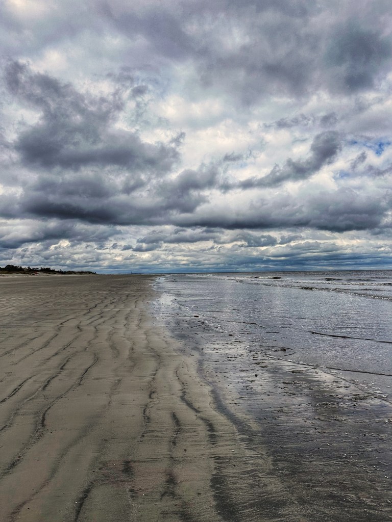
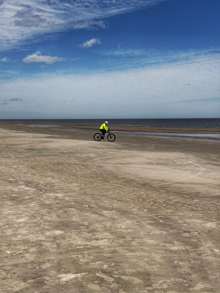
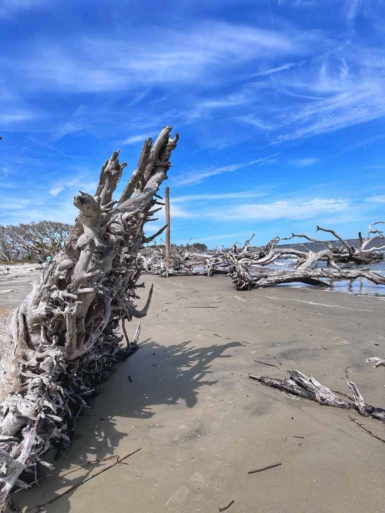
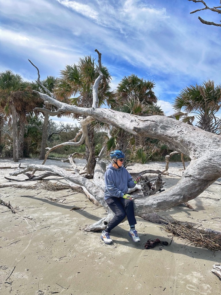
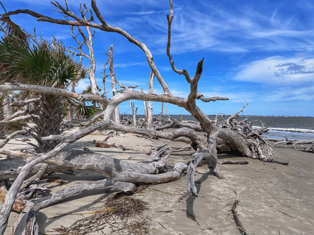
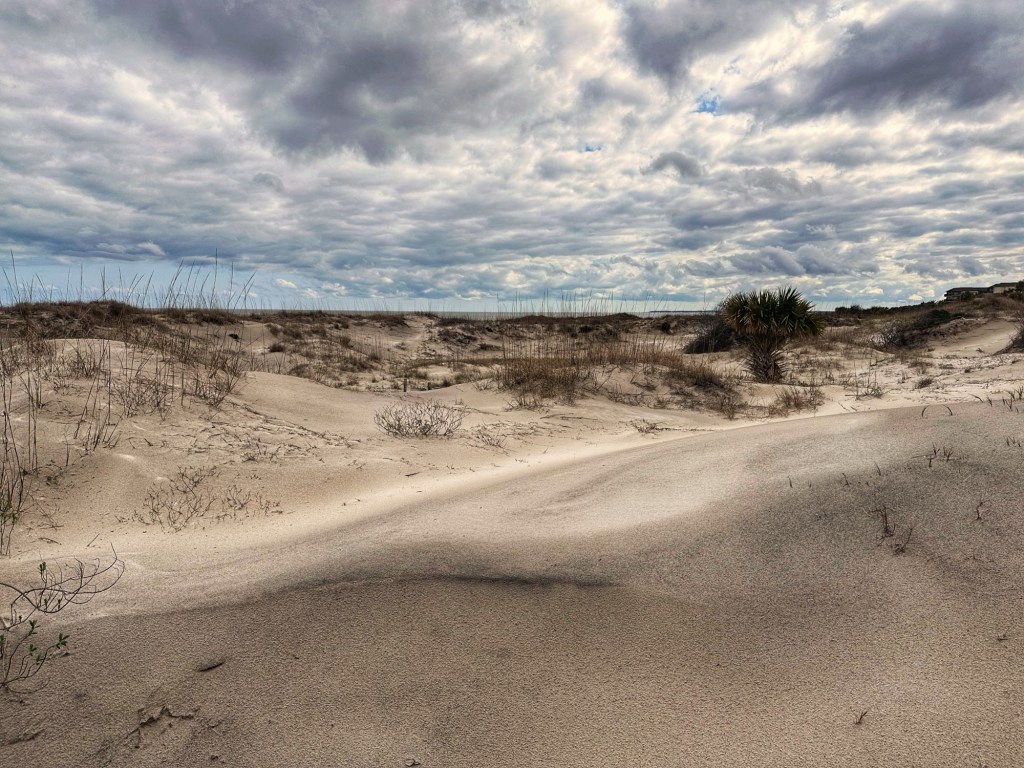
One side of the island faces the Atlantic Ocean with lots of accessible beaches. While we didn’t have many “beach” days we did make time to be on the water.
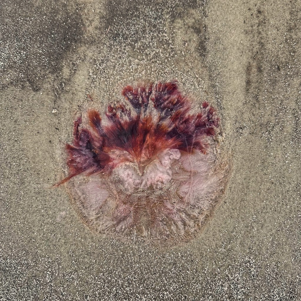
Dwarf Lion’s Mane Jelly Low tide biking
Driftwood Beach is a popular destination on the island.
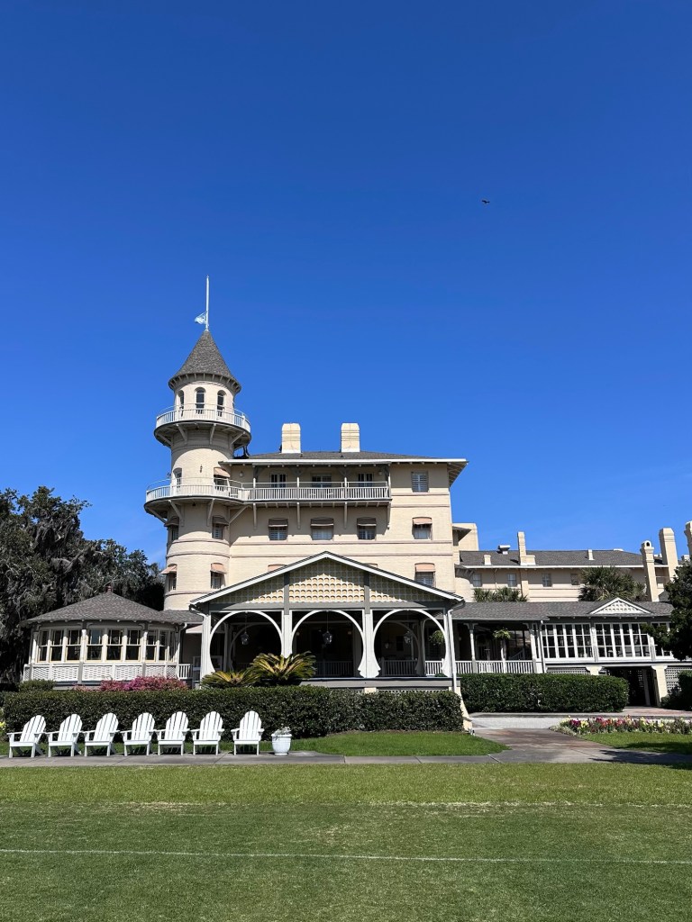
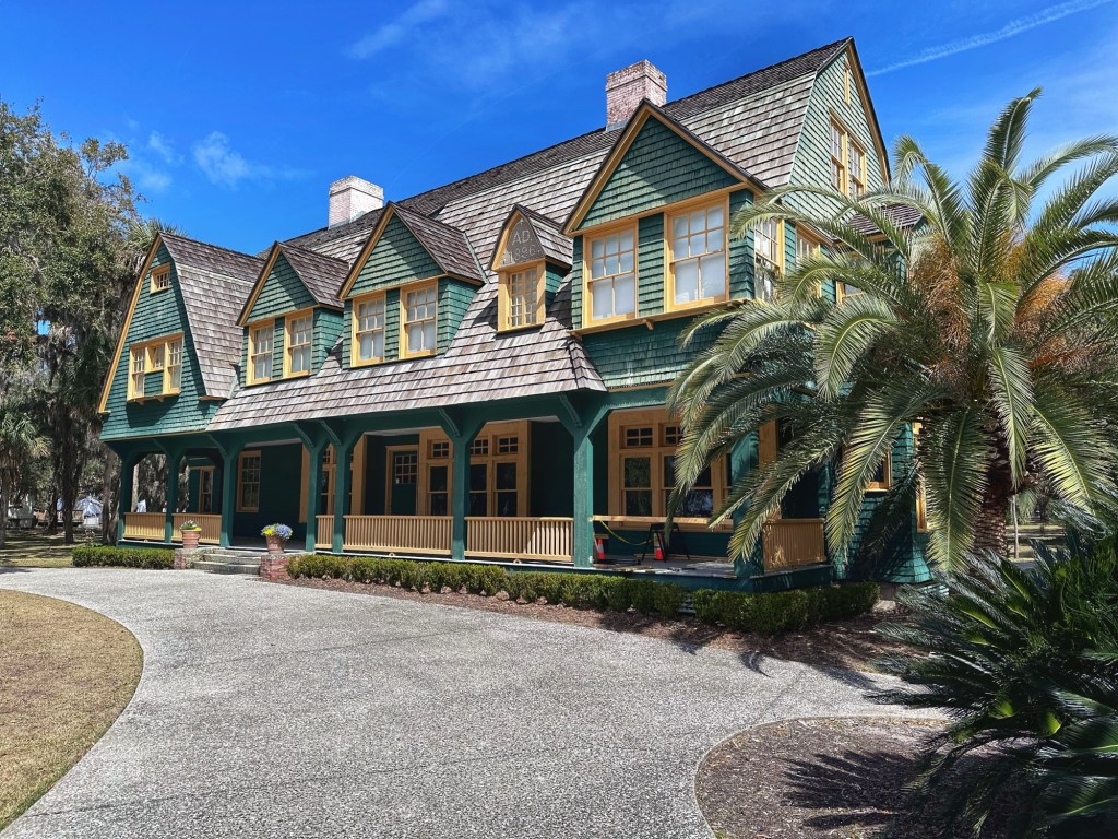
In the late 1800’s, the island became a private hunting club for some of the wealthiest families in the world (1/6th of the world’s wealth was controlled by club members). In 1886 the Jeykell Island Club was built as the club’s clubhouse.
The “Clubhouse”
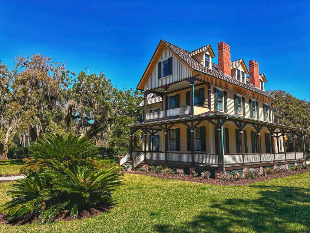
Some of the families built cottages near the Clubhouse when they felt that the clubhouse could not adequately provide for their families needs.
Dungeon Cottage-1884Crane Cottage-1917The entrance to Hollybourne Cottage-1890Moss Cottage-1896
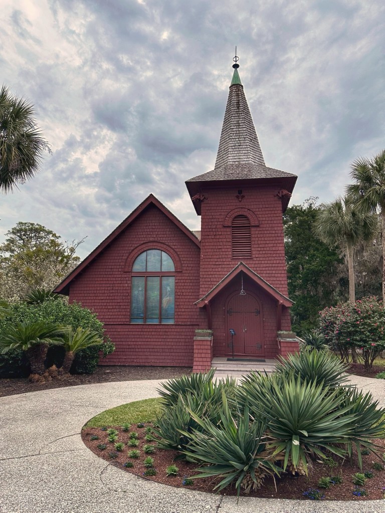
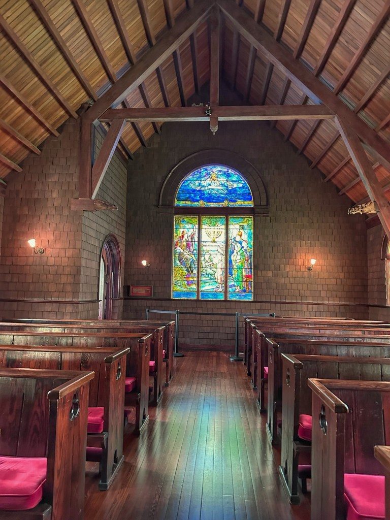
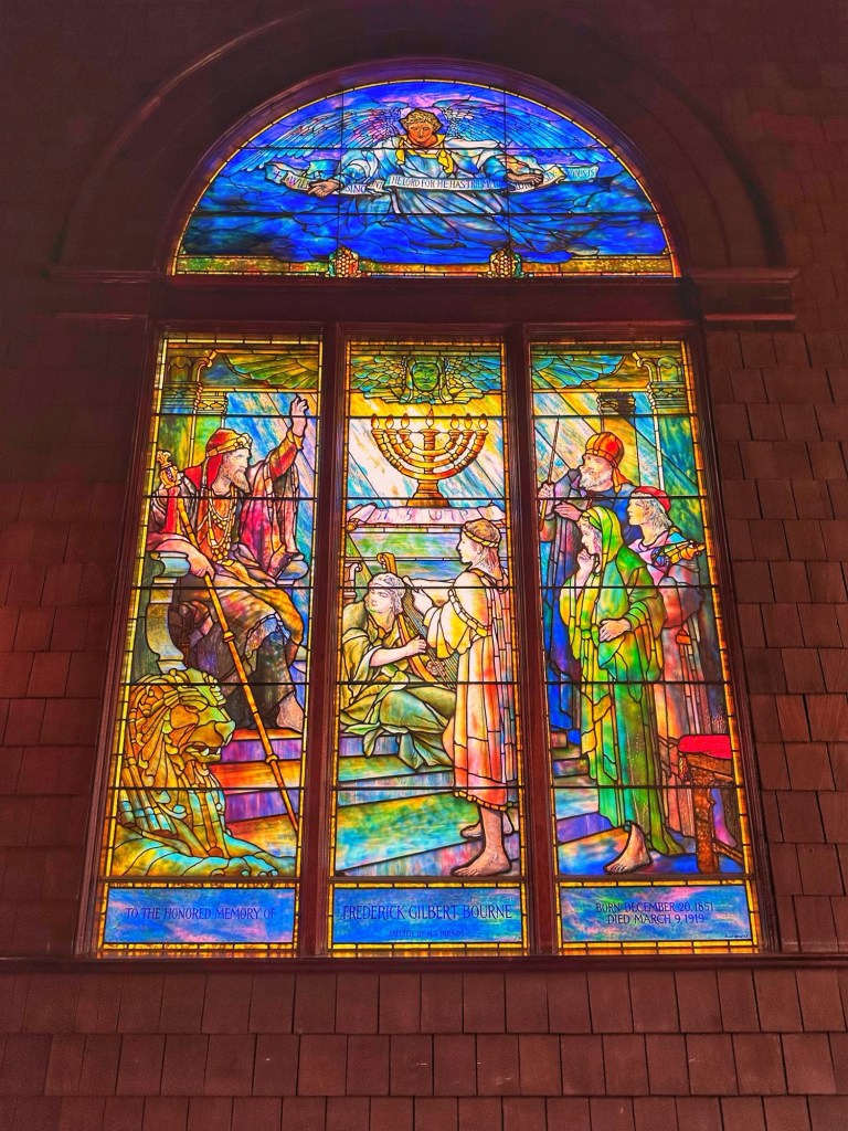
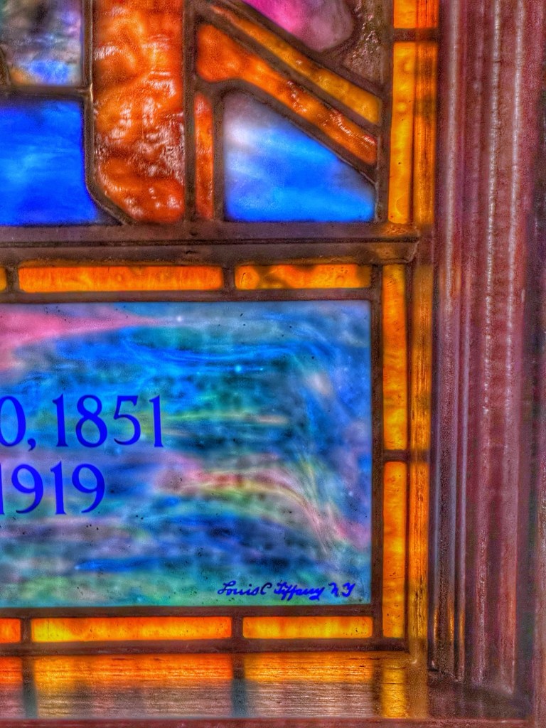
The members also constructed an interfaith chapel, Faith Chapel, for members use.
Faith Chapel-1904The Chapel was adorned with a lovely signed Tiffany stained glass window
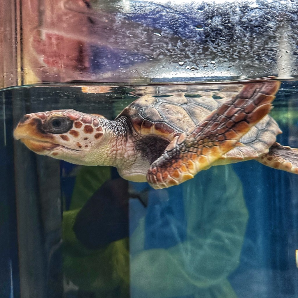
Sandwiched into the historic district of Jekyll Island is the Georgia Sea Turtle Center. Distressed and damaged sea turtles are rescued and nursed back to health and later released. A worthy endeavor that’s worth checking out.
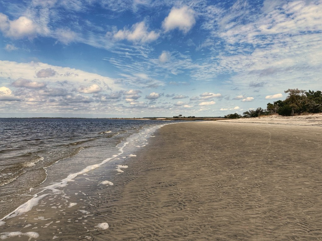
When Jekyll Island opened as a state park in 1948 all of Georgia’s citizens were not welcomed to the new park. Because of segregation African Americans could not visit many parts of the island, including its beaches. In 1950 African Americans from nearby Brunswick requested a portion of the island for their enjoyment. The state designated an area at the south end of the island for their use. St. Andrew’s Beach was the only beach in Georgia open to black Georgians.
Coincidentally, Saint Andrews Beach is also where “The Wanderer“ arrived off the coast of Georgia in 1858. The ship was one of the last documented ships carrying illegal African slaves to America. The trans Atlantic slave trade was outlawed in 1807.
St. Andrews Beach
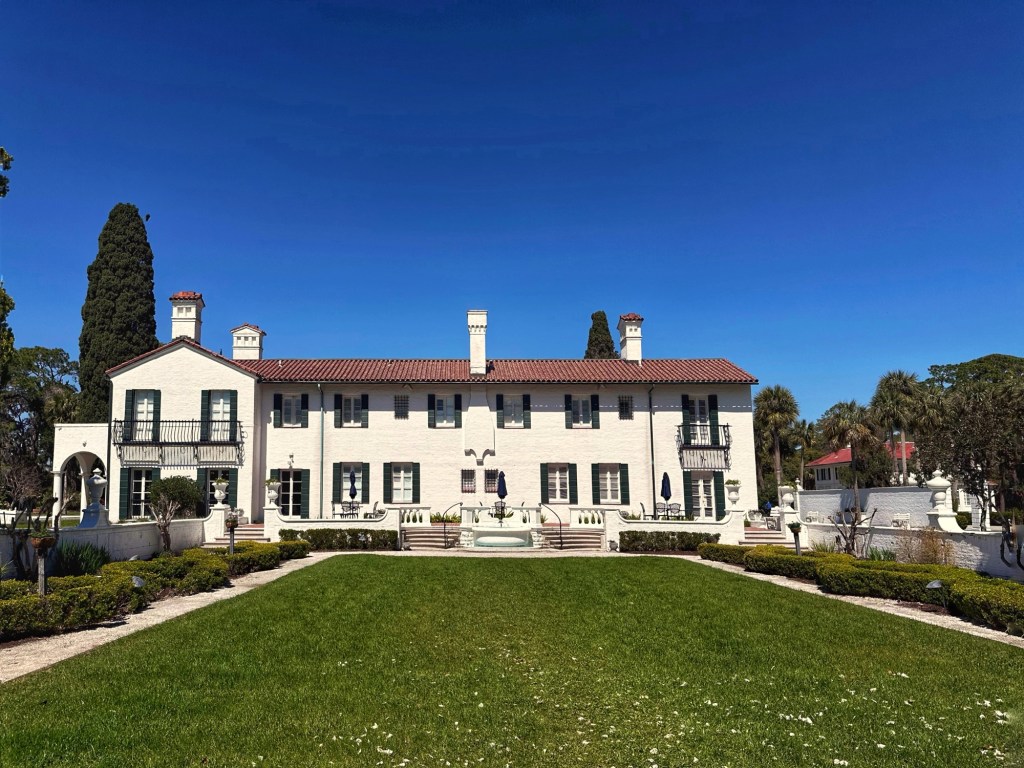
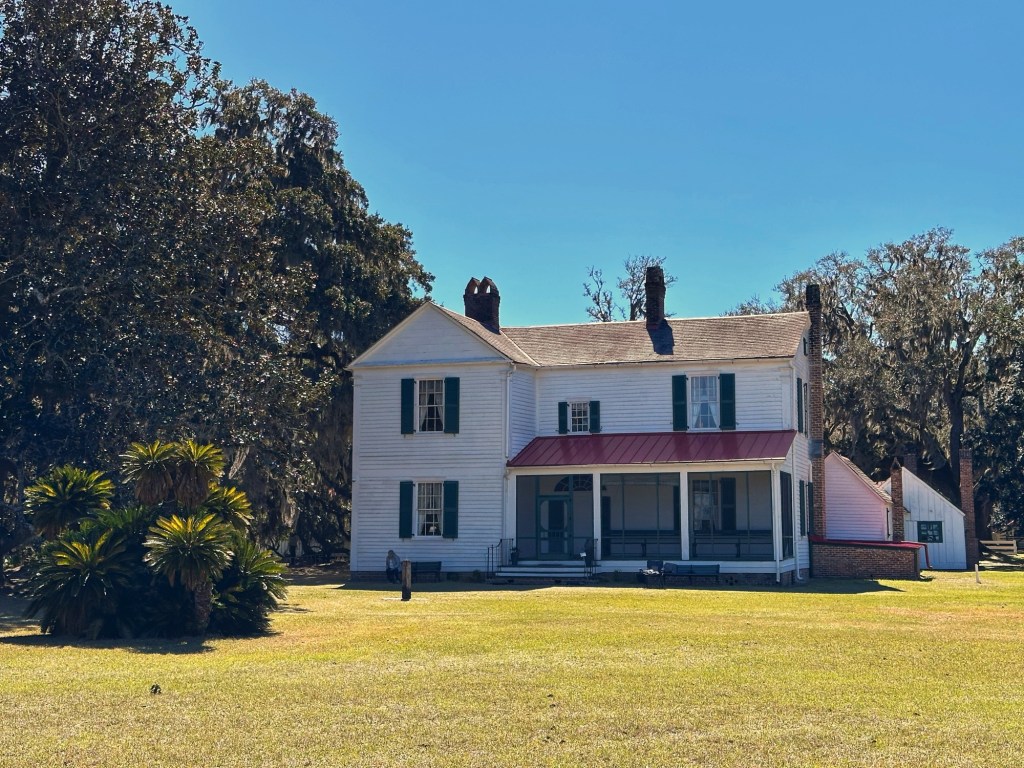
While we’ve traveled the south many times we have never visited one of the area’s plantations. A short distance from Jekyll Island is the Hofwyl-Broadfield Plantation State Historic Site.
The family home built in the 1850’s
The property was purchased and the plantation established in 1806. By 1849 the plantation was using 357 slaves to cultivate 7,300 acres of rice. It was through the blood and sweat of these enslaved people that converted this cypress swamp into a profitable rice plantation.
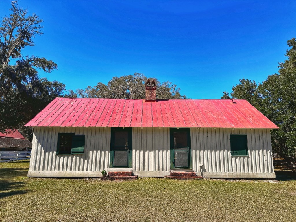
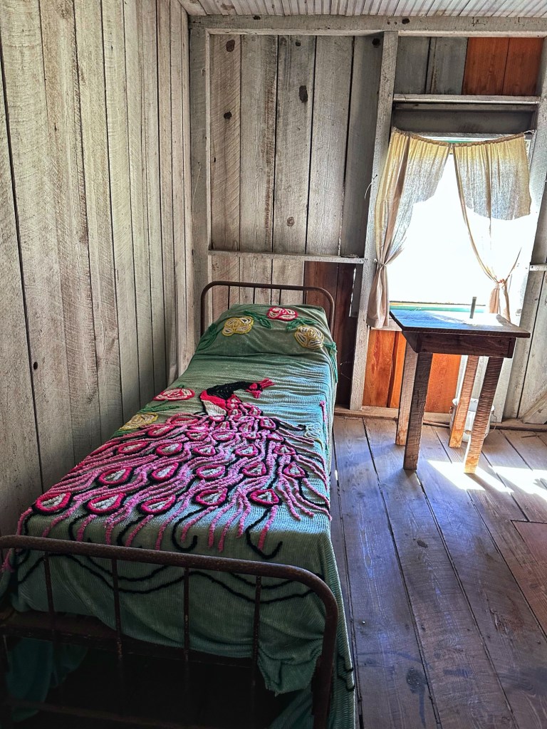
Former slave/sharecropper housing for two families Slave/sharecropper sleeping areaPlanter’s bedroom
The last family member died in 1973 and left the property to the state of Georgia with a trust to preserve the site for posterity.
Low Country Sunset
While there is plenty to explore in the area we’re feeling the need to move on. We hear Savannah calling.
While Florida may not be our favorite destination we decided to begin our winter travels by visiting with our numerous relatives and friends that are scattered around the state.
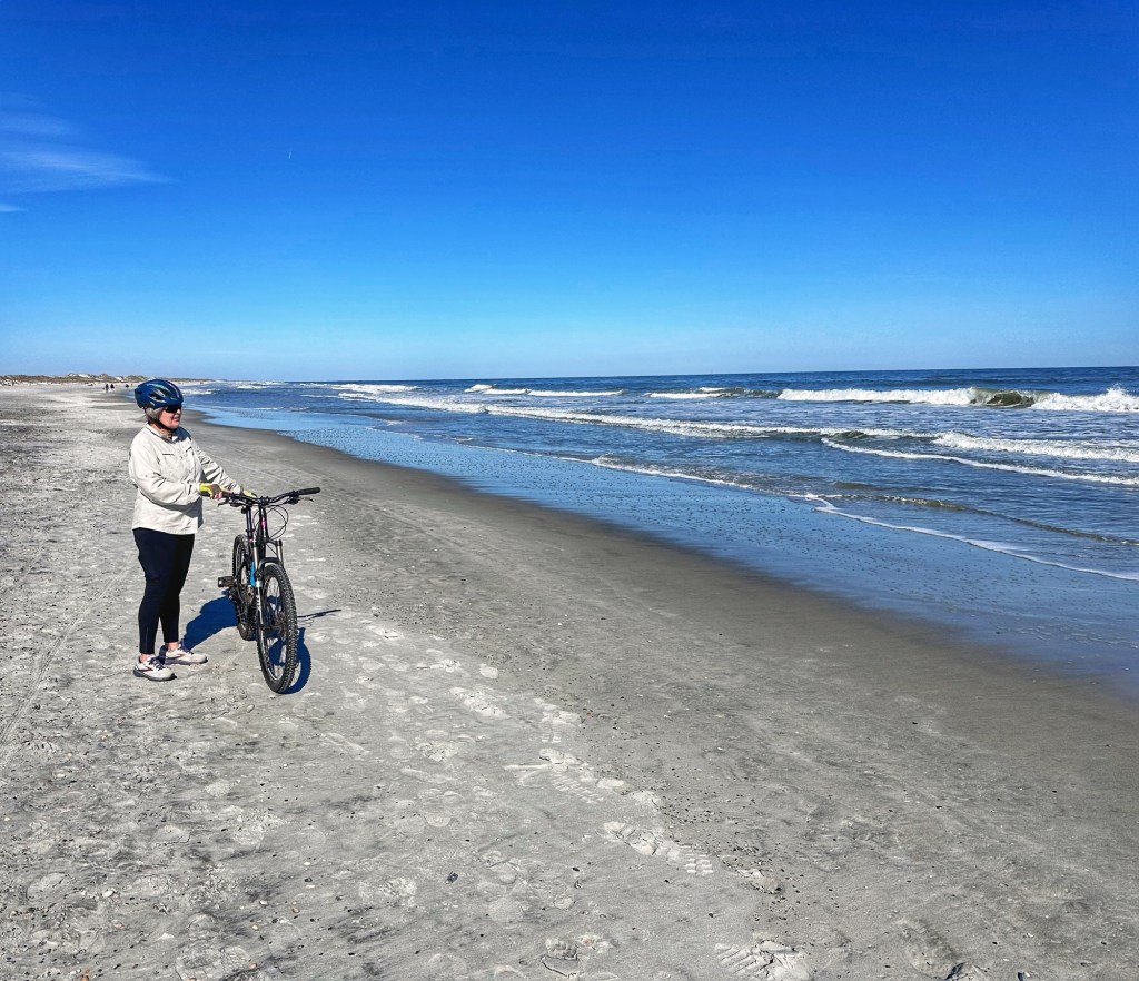
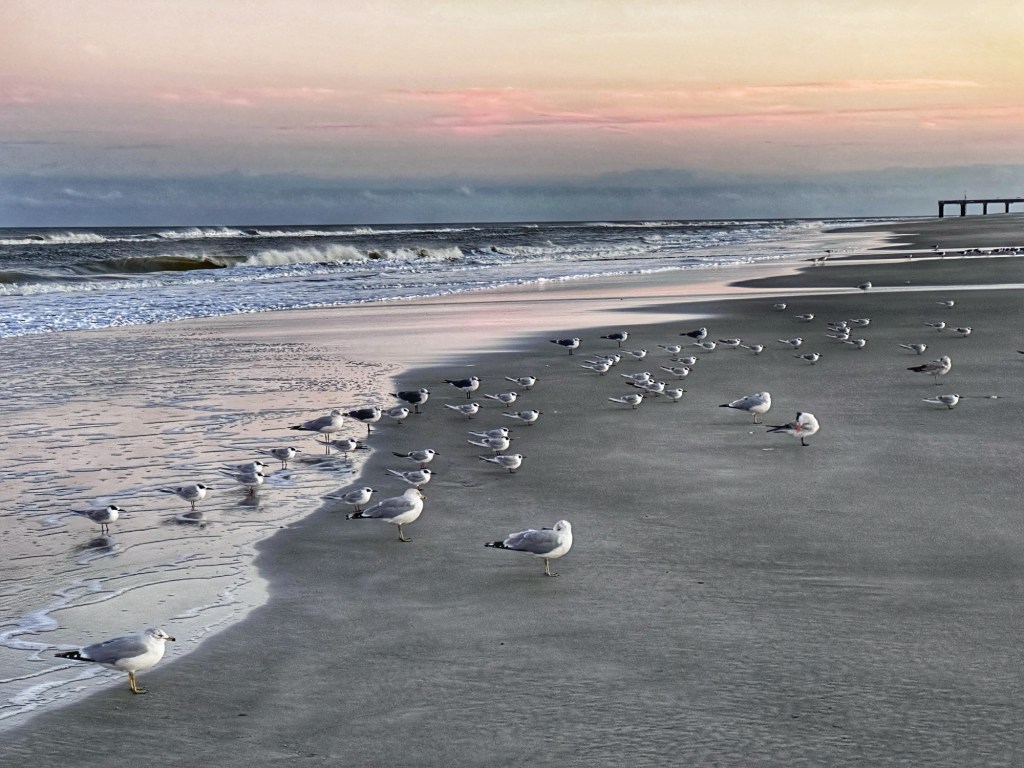
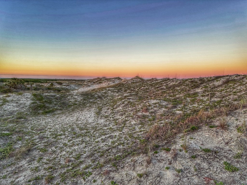
We started out at one of our favorite Florida State Parks, Anastasia State Park.
Site 87
This St. Augustine park puts us about 30 minutes from Shelly’s sister Andrea and brother in-law Jeff.
Pat and Andrea
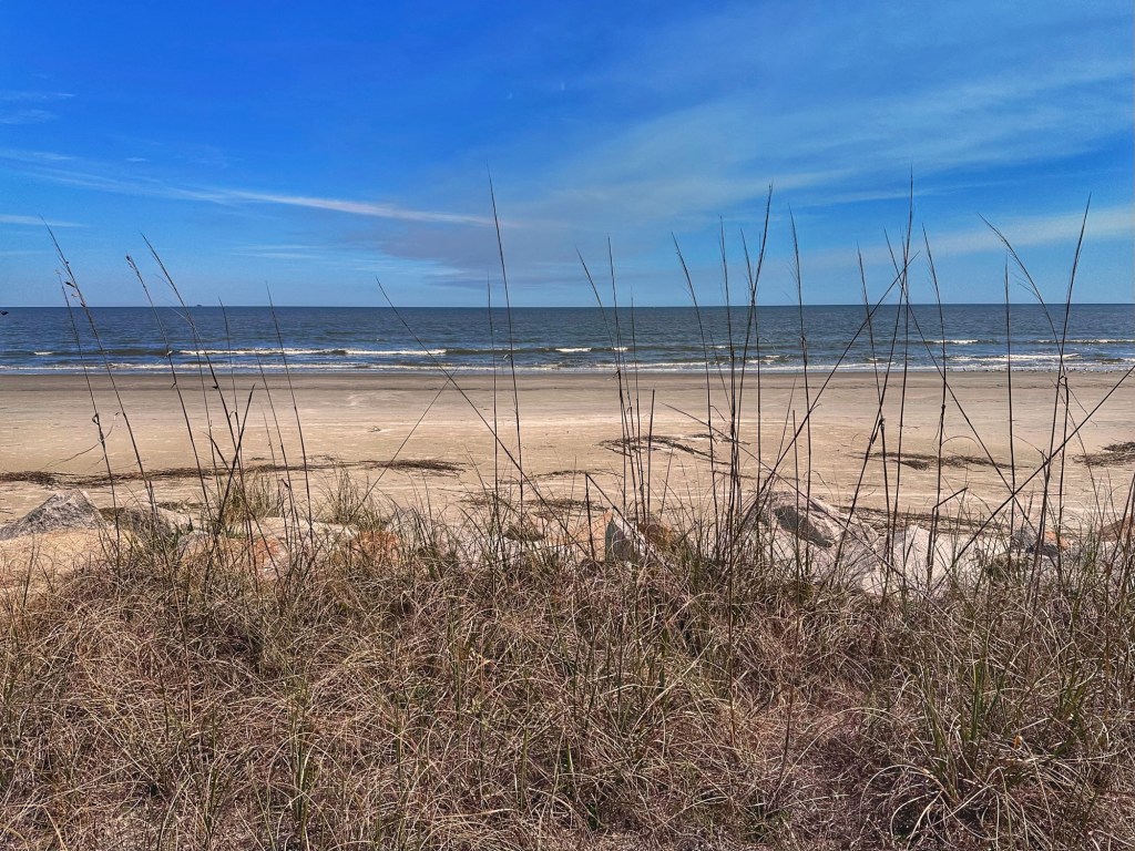
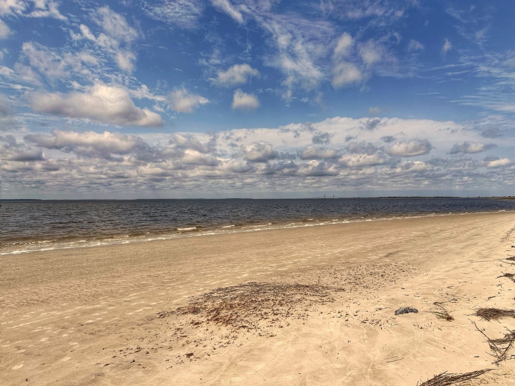
What we love about this park is the easy access to its undeveloped five mile shoreline. It’s a great beach for walking and at low tide bike riding.
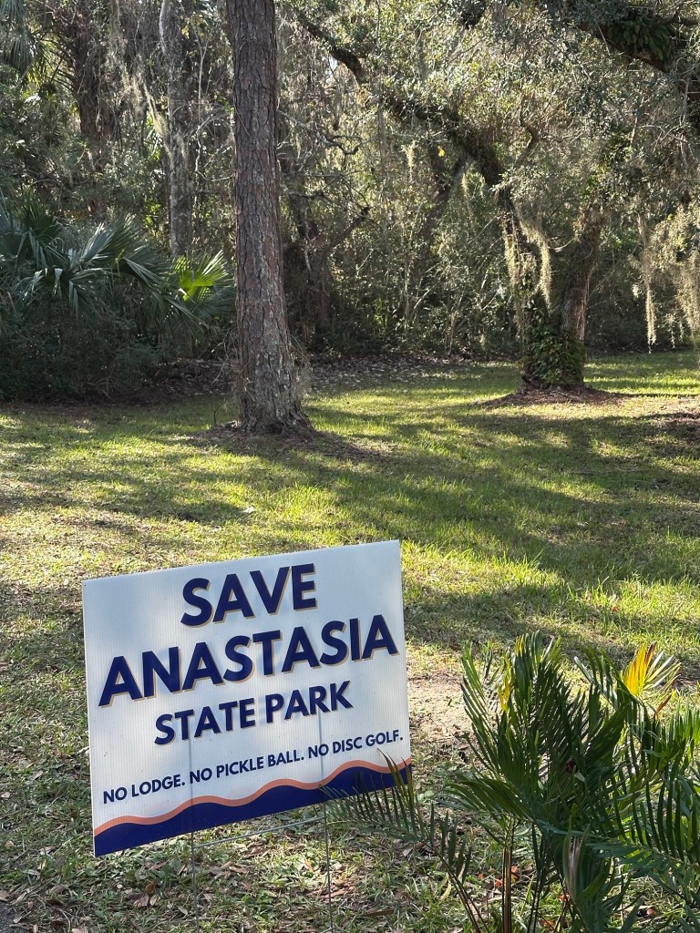
As beautiful as this stretch of undeveloped shoreline is, it has not been safe from development. Ron DiSantis, the governor, has proposed building a lodge, high rise condos and a golf course here. So far, local residents have rallied enough support to beat back this plan.
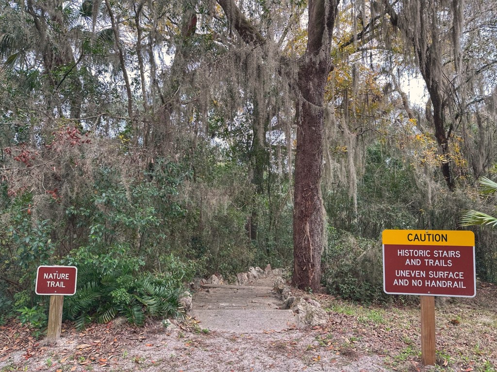
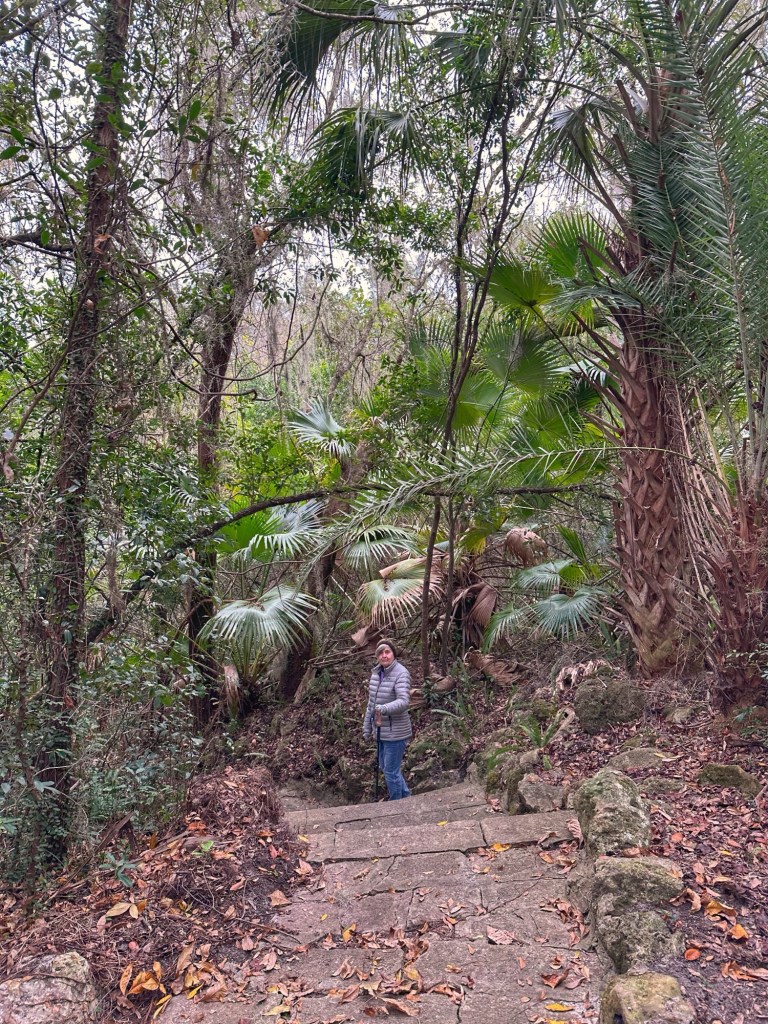
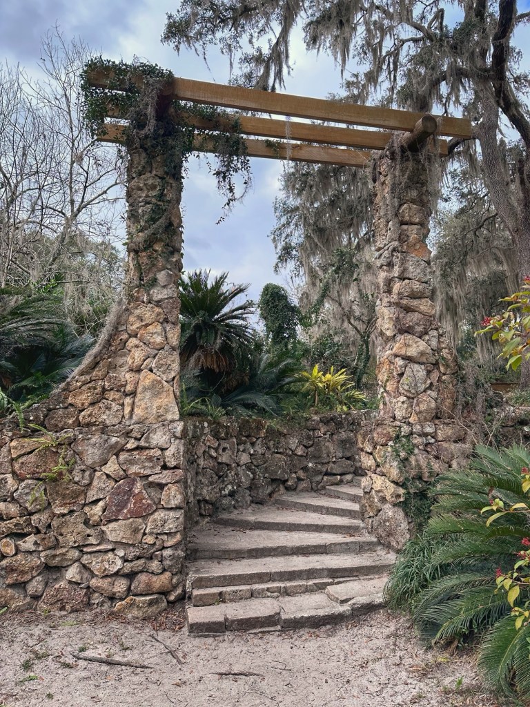
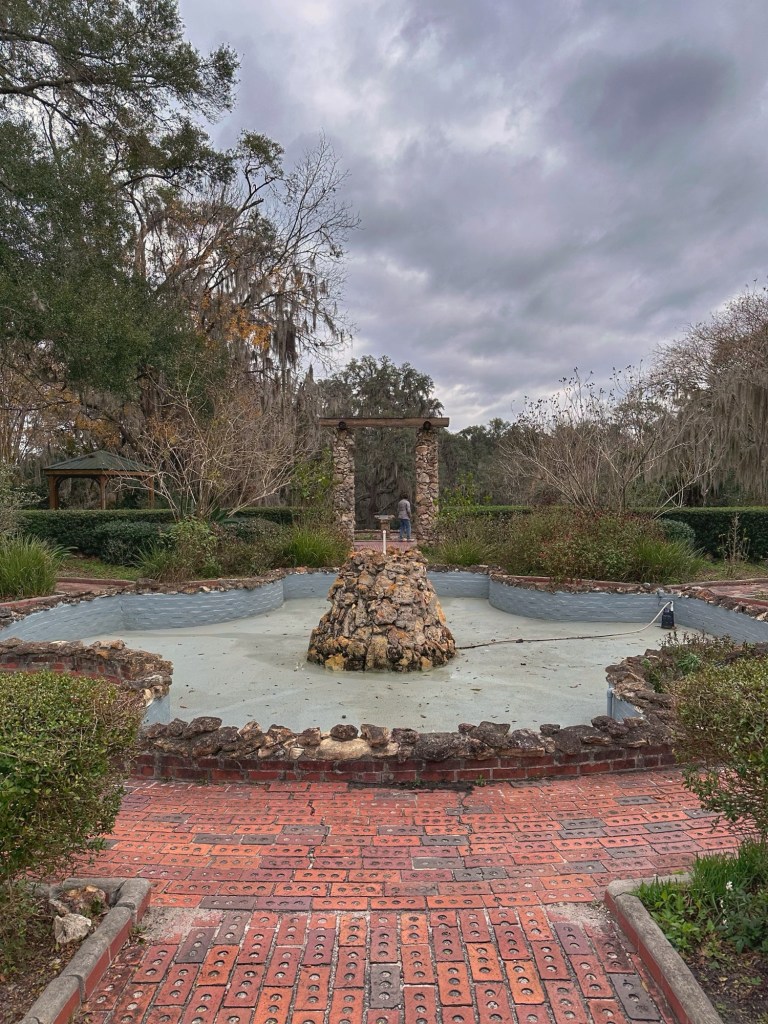
Florida weather in January can be iffy. This January it’s been colder than we remember from past visits. Biking and walking the beach have been a chilly affair. We decided to do a side trip Palatka and checkout the Ravine Gardens State Park.
This 152 acre park contains steelhead ravines surrounding a spring fed stream. Unlike ravines that are created by surface erosion, steelhead ravines are the result of seeping underground water which undercuts the sandy slopes and causing them to collapse.
In 1933 the city of Palatka decided to turn the ravines into a formal garden. The Works Progress Administration (WPA) got to work transforming the ravines into formal gardens.
The slopes of the ravines were heavy planted with over 40,000 azalea plants and two suspension bridges were built for viewing the plantings.
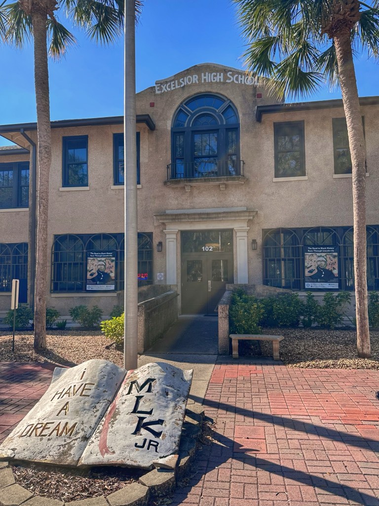
The city of St. Augustine has an interesting history and is always a fun place to wander. We started our wandering in the historically black neighborhood of Lincolnville.
The Lincolnville Museum & Cultural Center
The museum focuses on the vibrant African American community that thrived in St. Augustine. Definitely worth a visit if you find yourself in St. Augustine. (They don’t allow photography in the museum.)
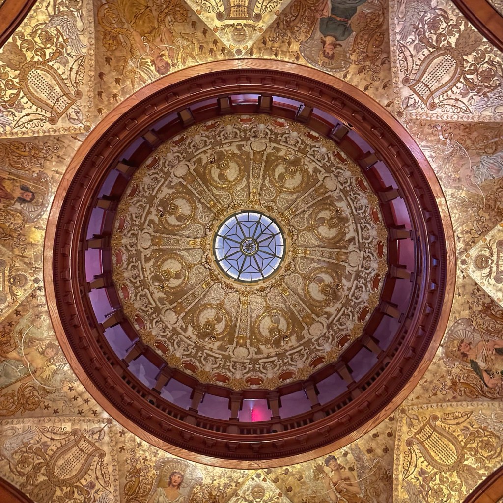
Flagler College
The centerpiece of the college is the former luxury hotel Ponce de Leon. The hotel was built in 1888 by railroad magnate Henry Flagler and is now listed as a National Historic Landmark.
Entryway dome at Flagler College
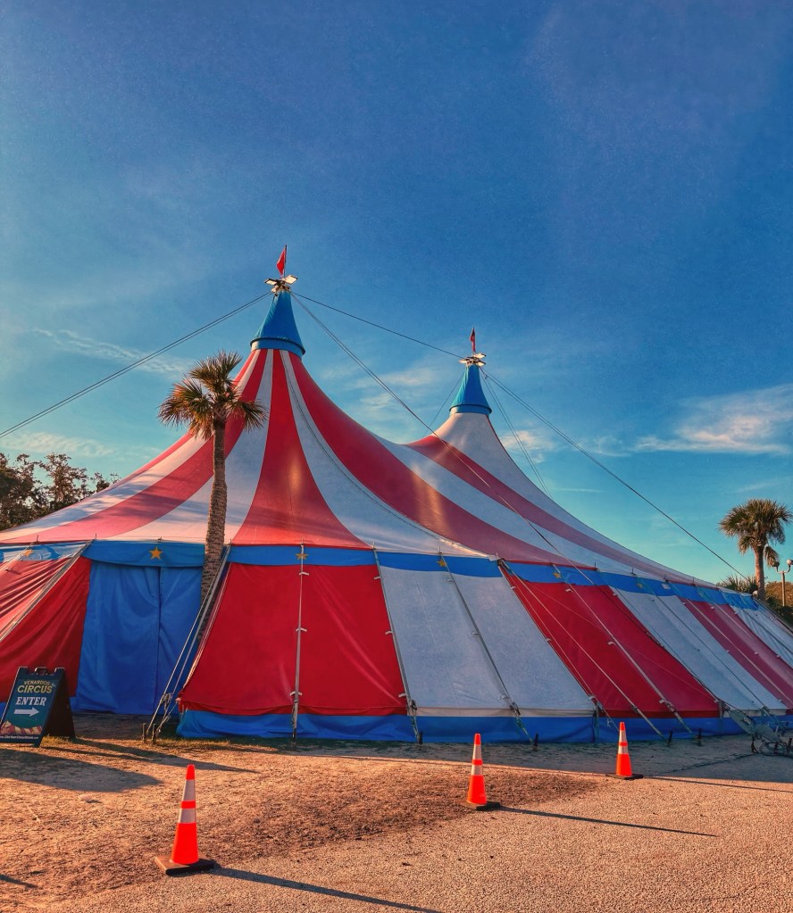
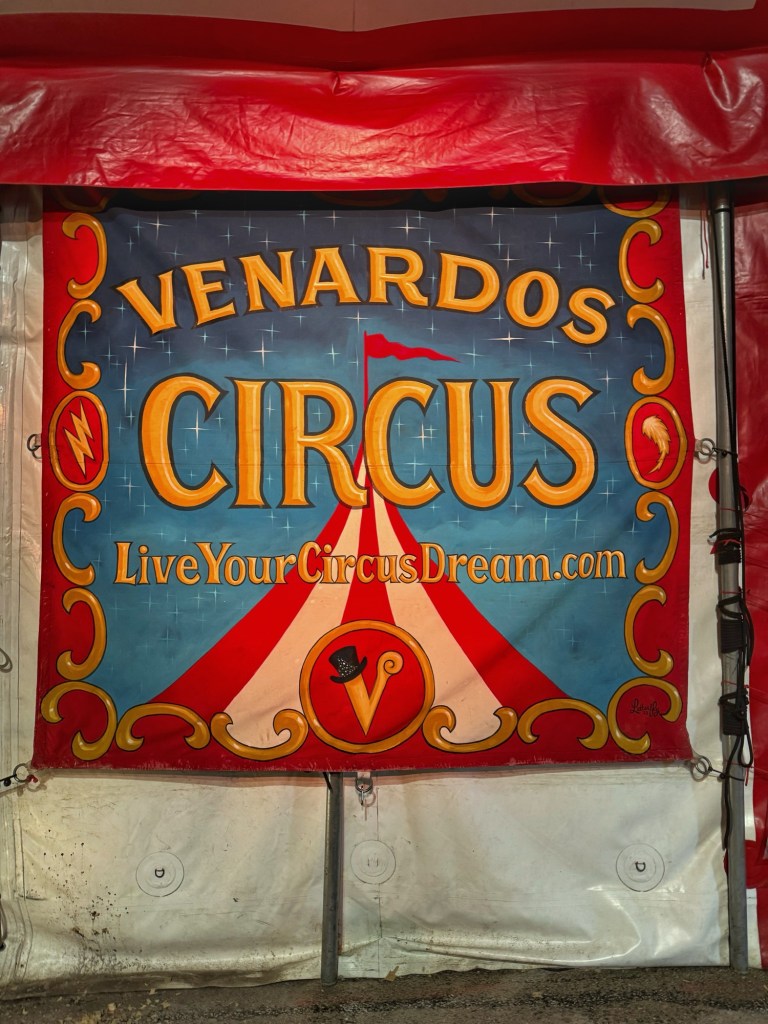
Adjacent to the state park is the St. Augustine Amphitheater. The parking lot of the amphitheater hosts a popular Saturday Farmer’s Market. Whenever we are camping we check the market out. During this visit we were greeted with a large red, white and blue striped tent.
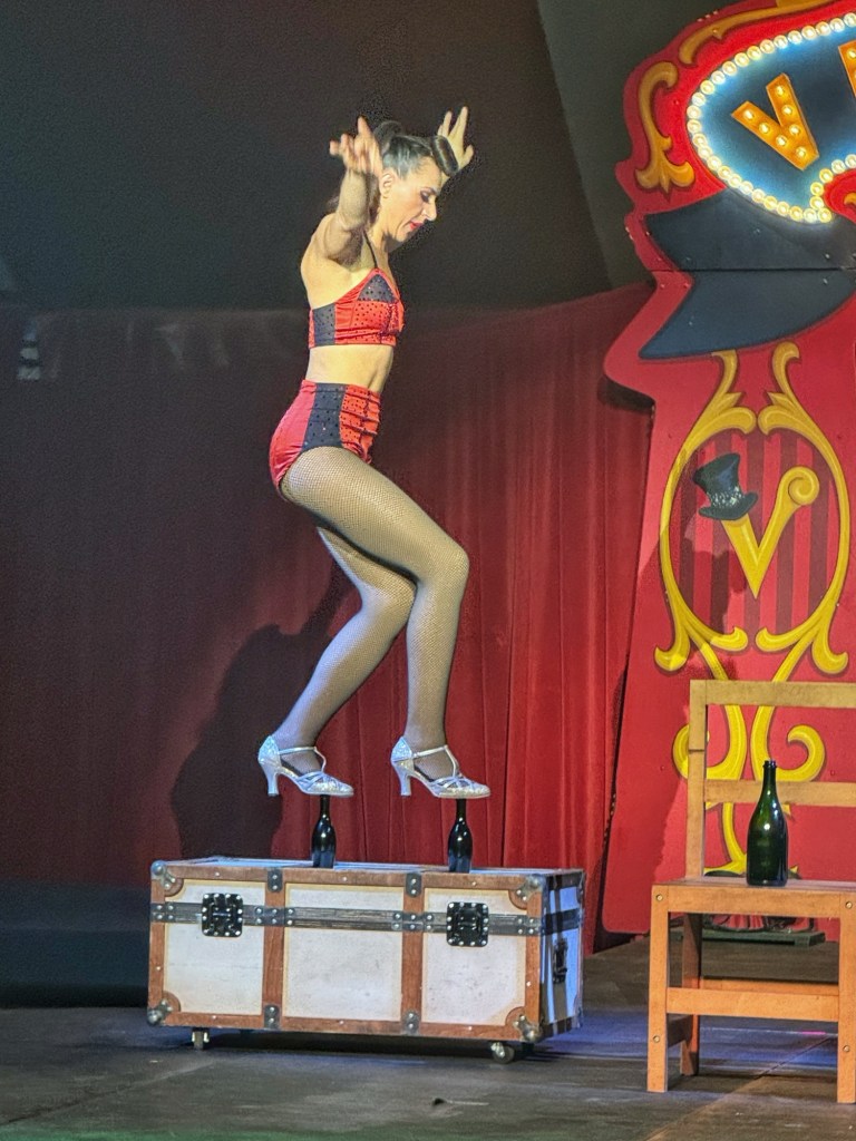
It turned out that a circus was in town. We love the circus and snagged a couple of seats for their final performance.
We enjoyed all the performers; the clown, the juggling, the Ring Master, acrobatics and feats of strength, but “Lady Beast” had a unique act that got our attention.
Camping at Anastasia State Park is always a pleasure but we were ready to continue south on the Florida peninsula.
We moved to Wickham Park in Melbourne Florida. This was just a place holder for us while we went to visit our friends Bill and Sandy in Vero Beach.
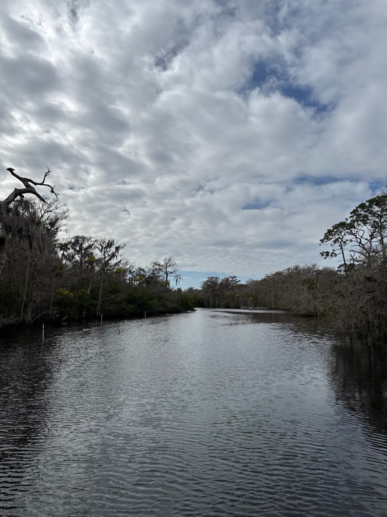
From Melbourne we travelled further south to Jupiter and Johnathan Dickinson State Park.
Site 99RC
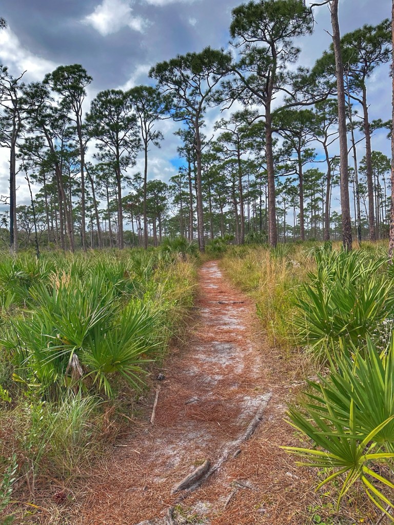
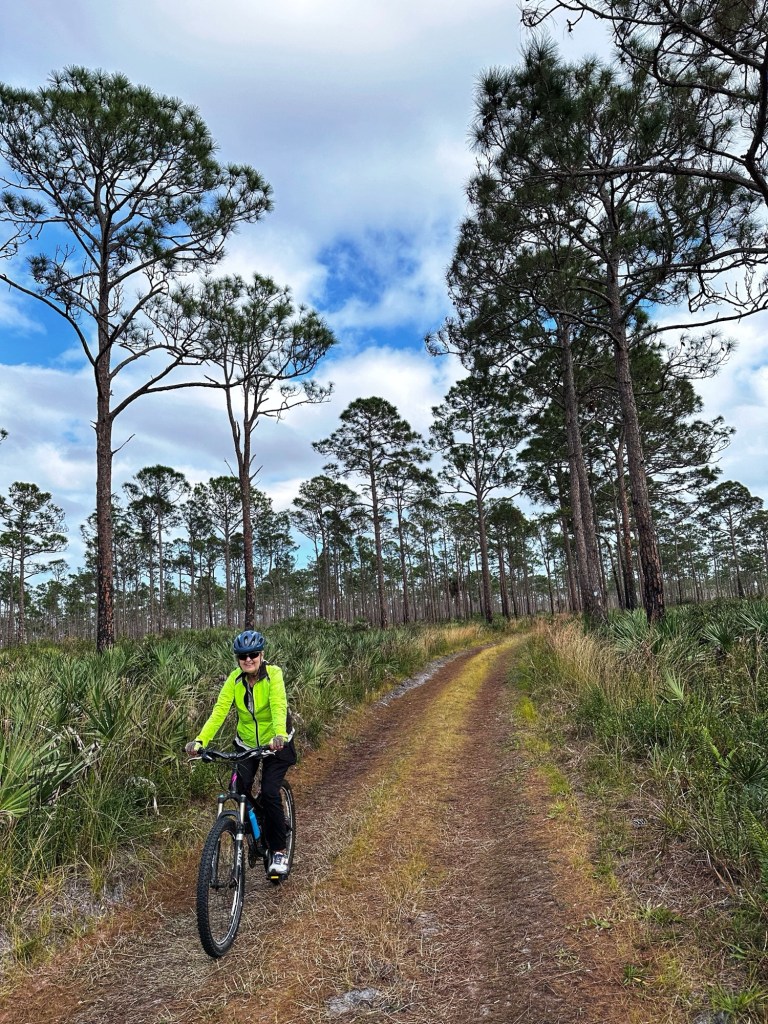
Johnathan Dickinson is Florida’s largest state park in Southeast Florida. The park offers a variety of activities from hiking, biking or paddling along the Loxahatchee River which runs through the park.
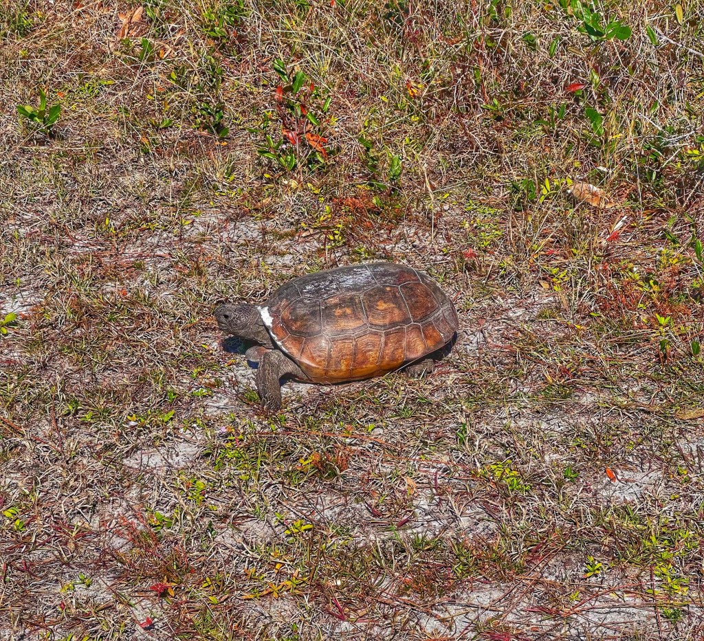
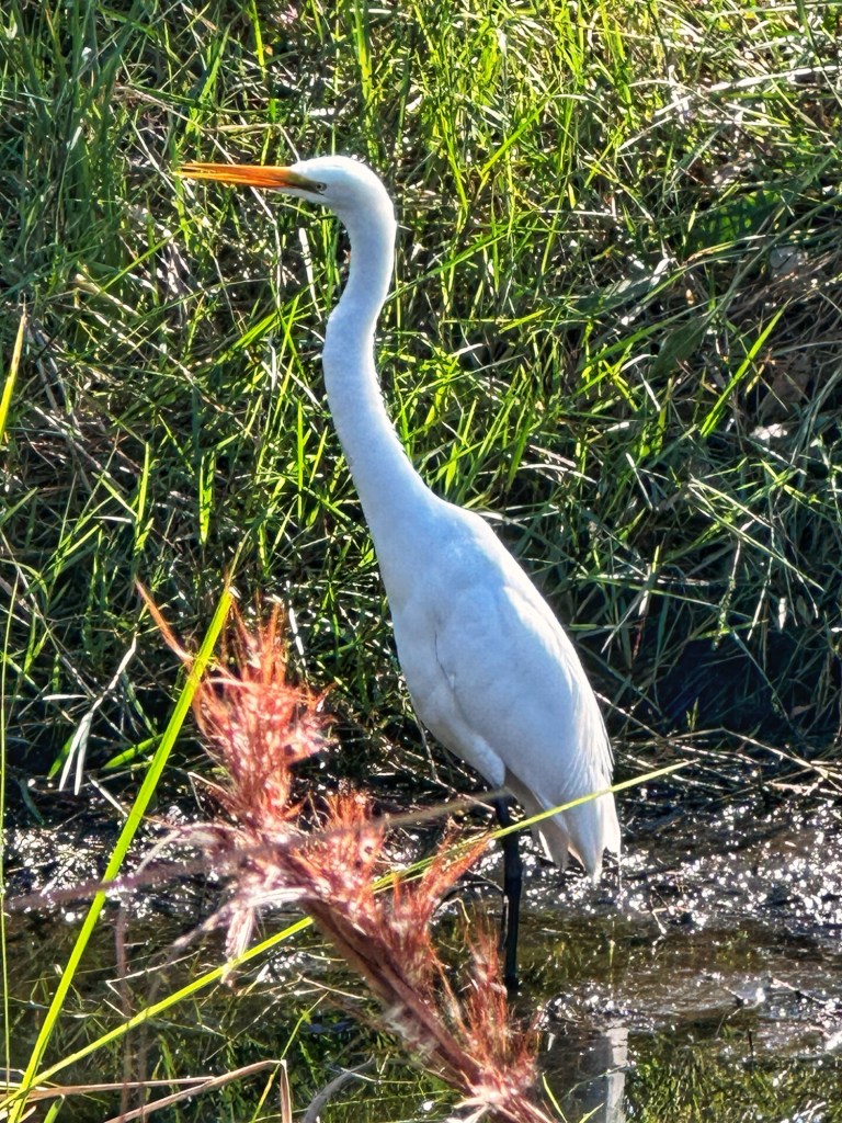
We shared the trails with some of the local residents.
Gopher Tortoise Great Egret
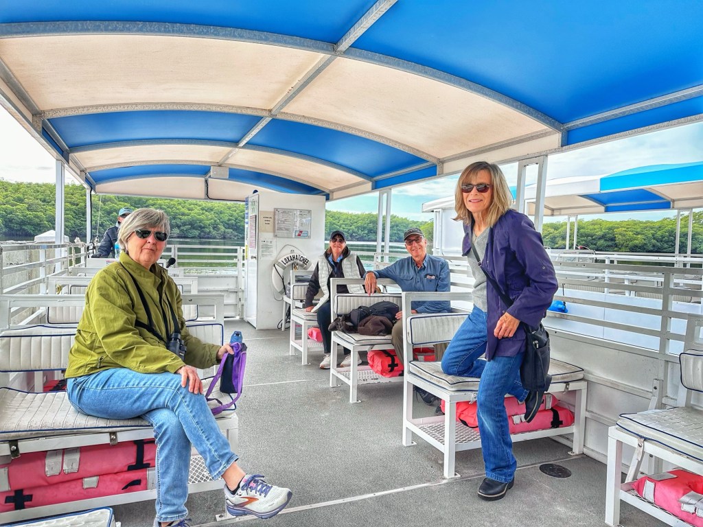
One of Pat’s high school friends, Lynne, lives in Jupiter and stopped by to spend the day. In addition, Bill and Sandy brought ther camper to the park to spend a few days. We booked a boat tour of the Loxahatchee River. The weather was cold and windy so we had the boat to ourselves.
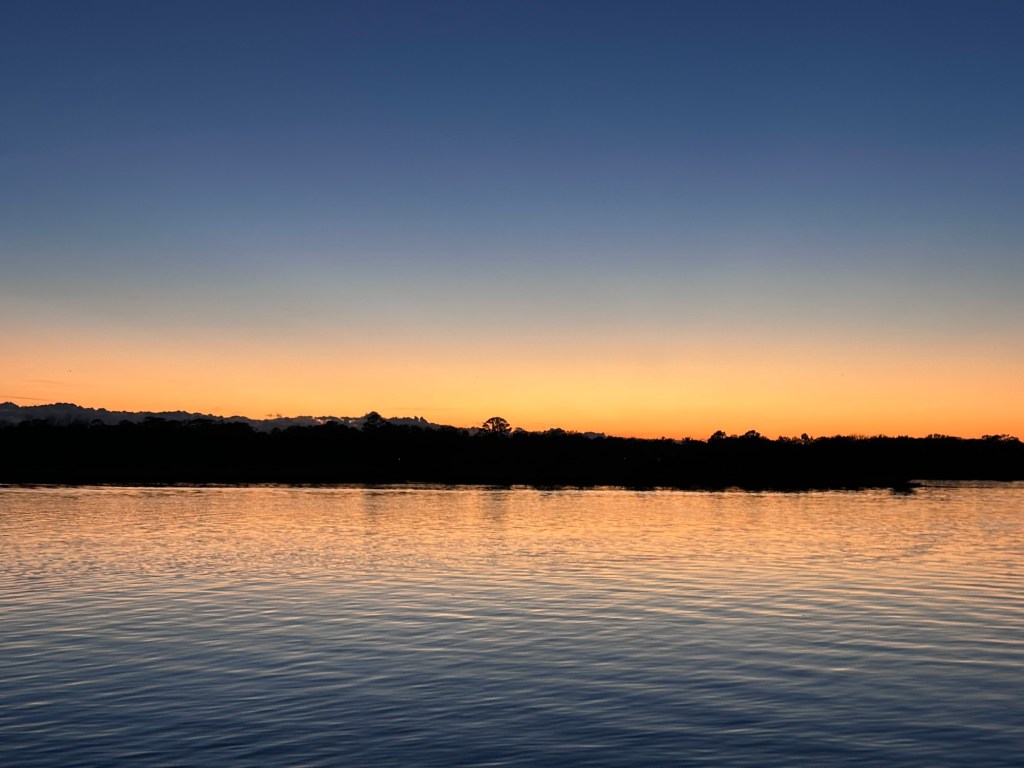
The Loxahatchee River at dusk
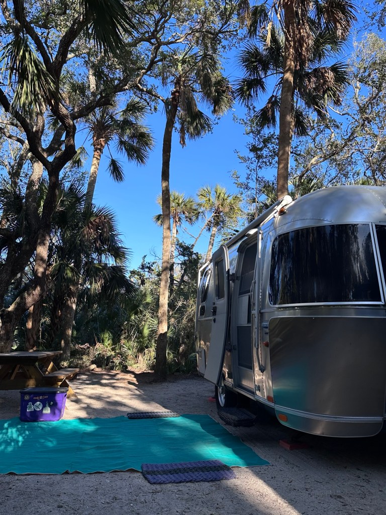
We left Jupiter and headed north toward Ormond Beach and Tomoka River State Park hoping for warmer weather.
Site 37
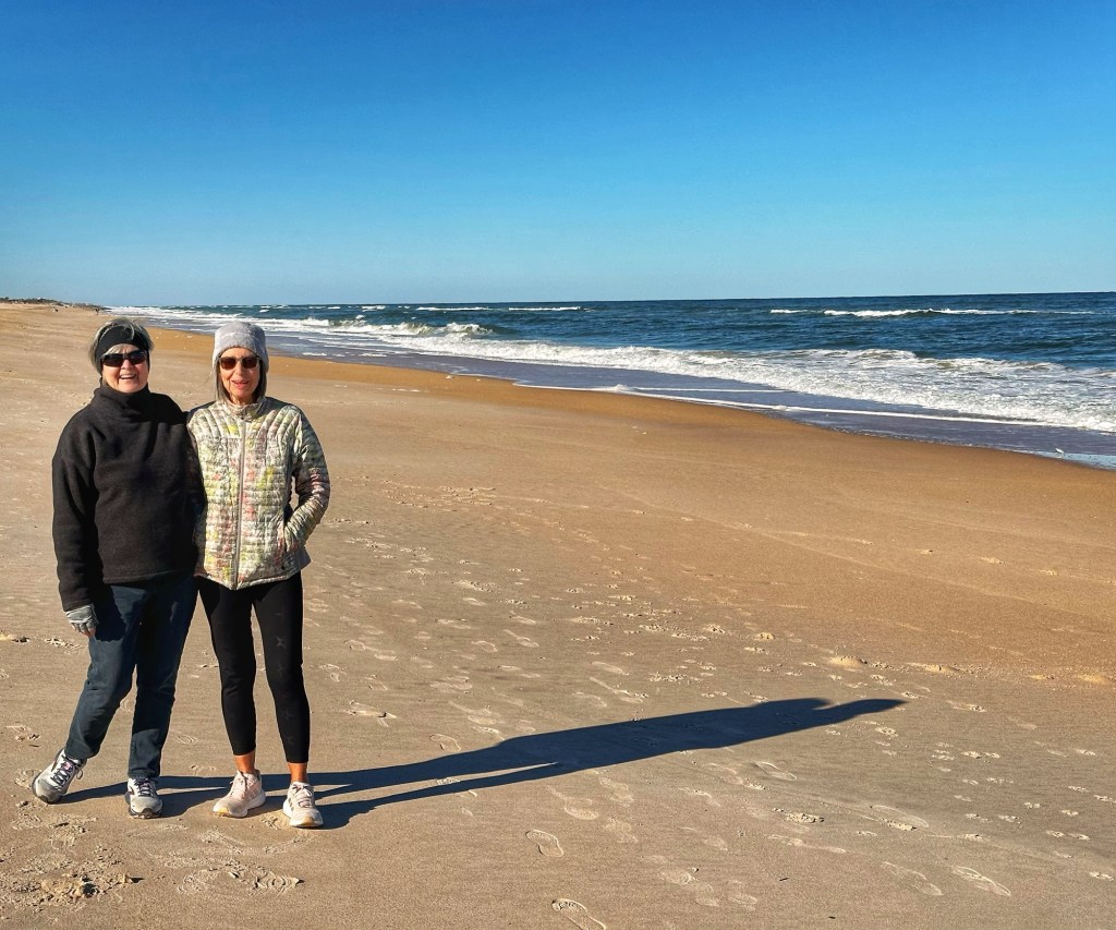
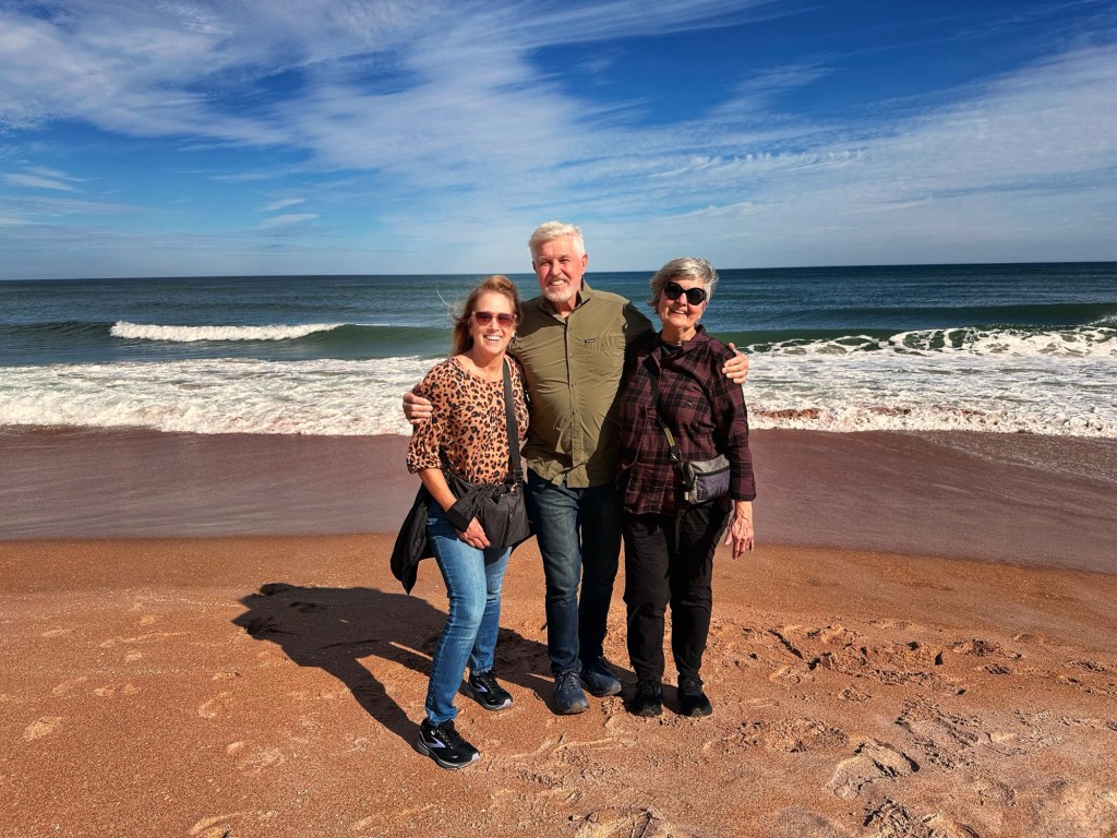
We lucked out with the weather during a beach visit with Pat’s brother Mike and his wife Donna.
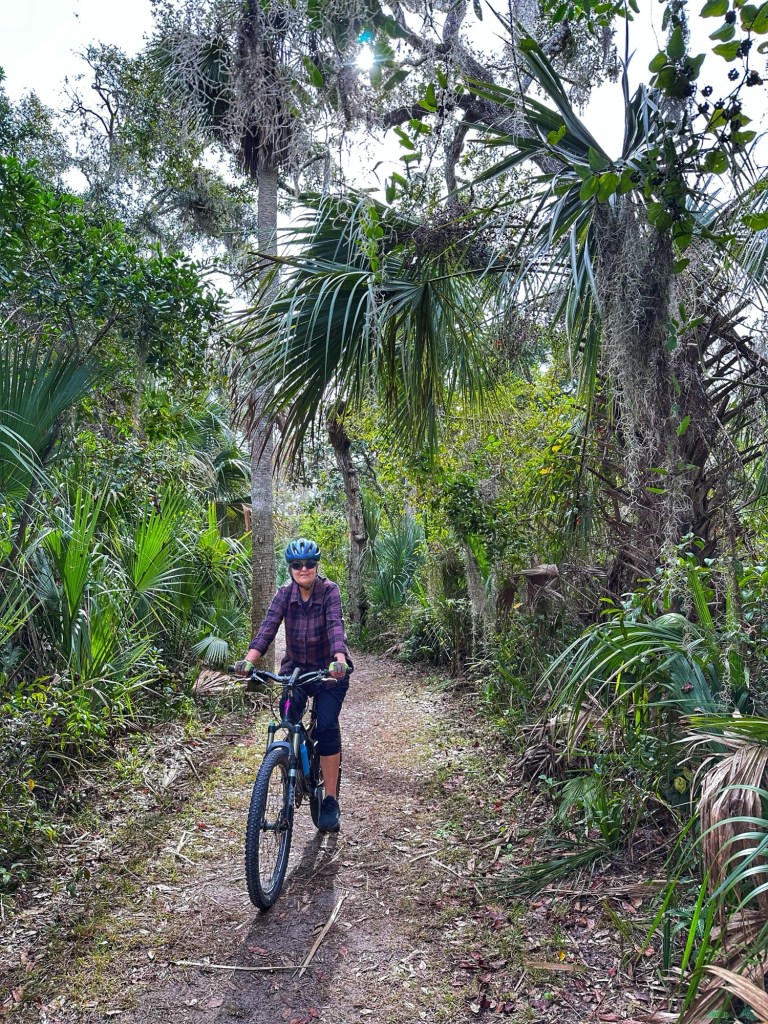
Unfortunately, that warm weather was short lived, replaced with colder temperatures and rain. In between rain showers we managed to get out on our bikes and do some hiking.
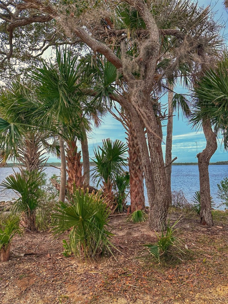
Tomoka Point
Tomoka Point was the location of the Timucua Indian village of Nocoroco. It was the first Indian Village south of St Augustine encountered by the Spanish in 1605. At the time of European contact the Timucua population in Florida was in the tens of thousands. By 1698 exposure to European diseases reduced those numbers to less than 1000. The last known Timucuan died in 1767.
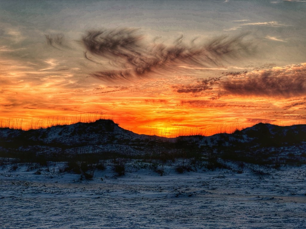
Sable PalmThe Tamoka River at sunset
While the weather wasn’t great we enjoyed our time in the park. We then headed to the Gainesville area, a place we’ve never visited. We booked a spot at a private park, Santa Fe River Palms RV Resort. Private parks aren’t our first choice but this one was conveniently located.
Site 214
The weather in Gainesville did not cooperate during our stay. We needed to disconnect our water for three consecutive nights to avoid damaging our water lines. One morning we awoke to 25 degrees~not the weather we had hoped for. The cold temperatures had us searching for some interesting indoor activities.
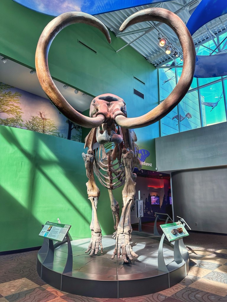
Columbian Mammoth
The Florida Museum of Natural History is located on the campus of the University of Florida and has an extensive collection of mammalian fossils. The above Mammoth skeleton was uncovered in the Florida panhandle and dates back 10-12,000 years.
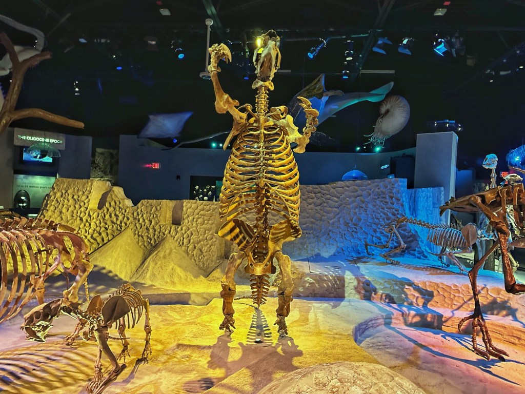
Giant Sloth
Interestingly no land dinosaur bones can be found in Florida. Why? During the time of Dinosaurs, 65 million years ago, Florida was under water.
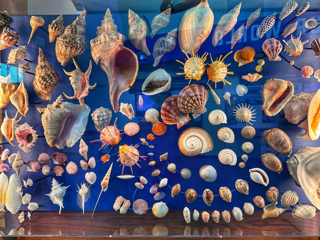
Part of the museum’s Florida shell collection
Next to the Natural History Museum is the Samuel P. Harn Museum of Art. The museum’s ten galleries opened in 1990.
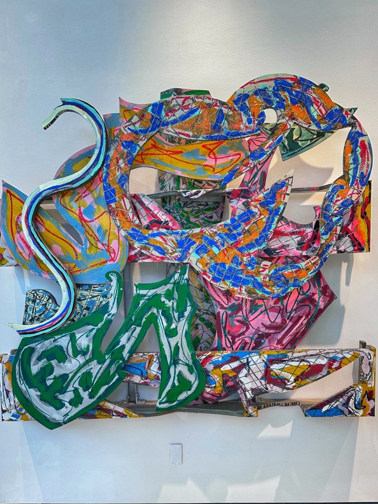
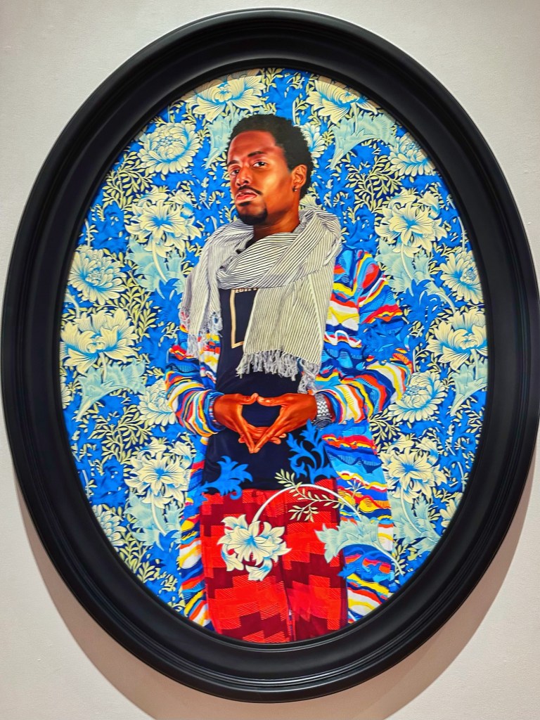
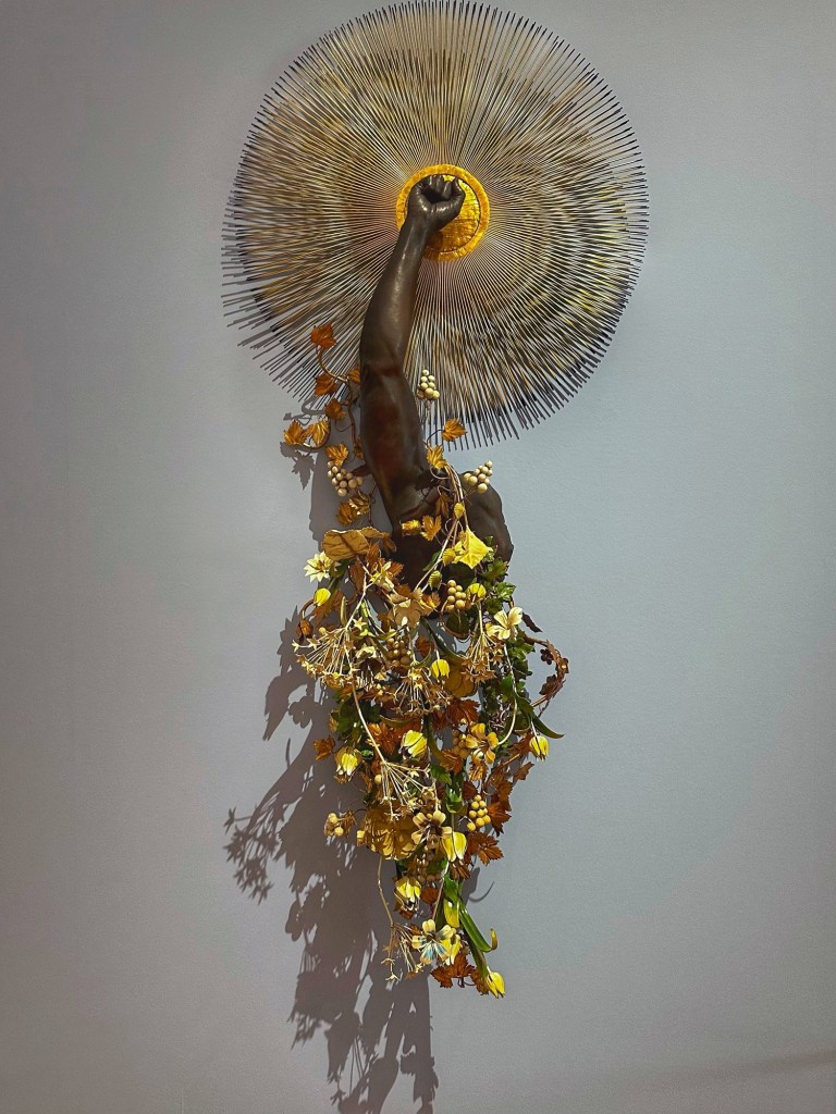
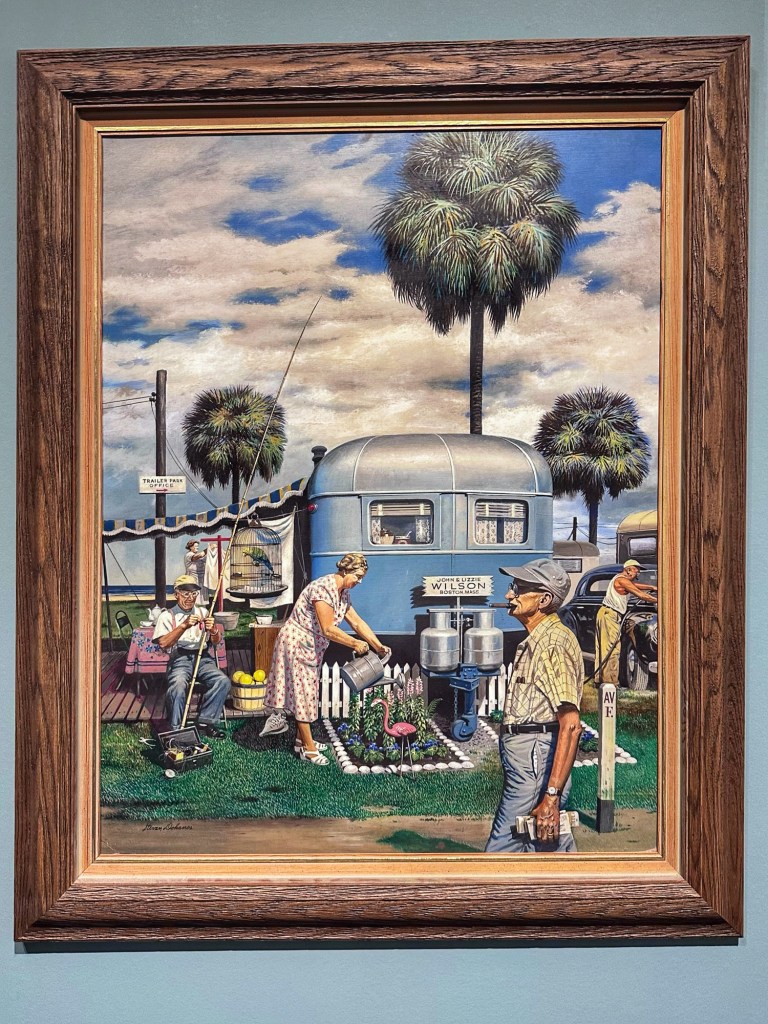
Frank Stella- Zandvoort 1981Kehinde Wiley- Margret,Countess of Blessington 2018Nick Cave- Arm Peace 2018Stevan Dohanos- Trailer Park Garden 1951
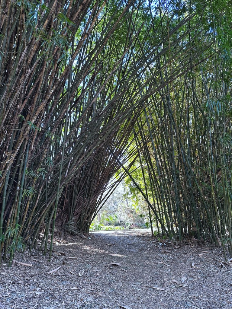
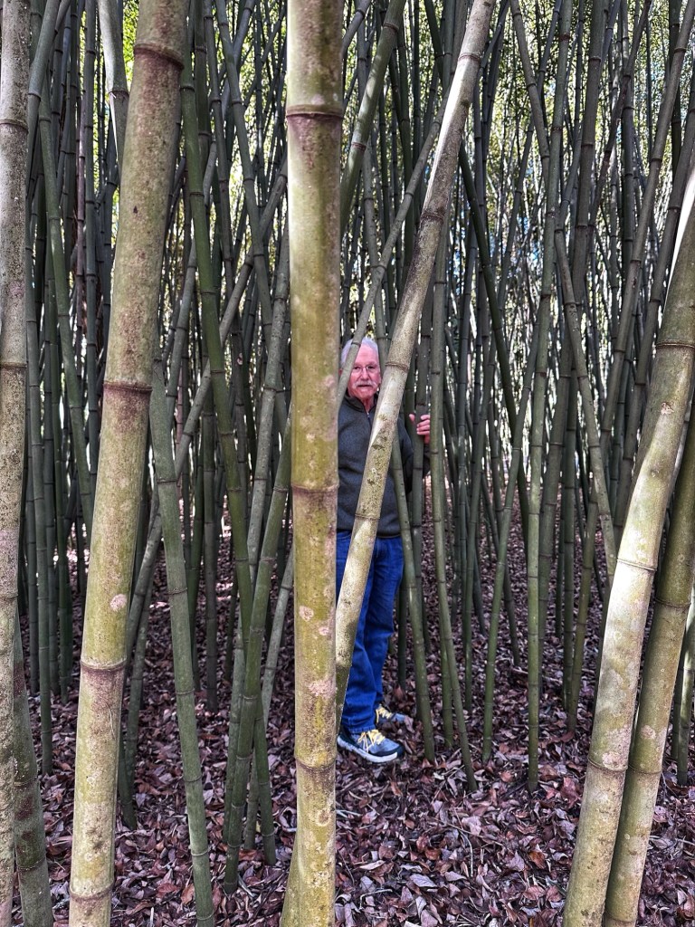
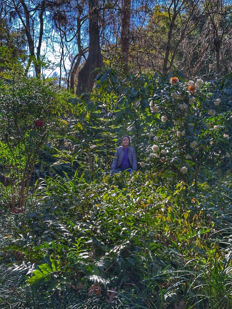
Even though the weather conditions were not ideal we decided to wander the Kanapaha Botanical Gardens. This 68 acre facility has 24 major collections that are visually accessible along 1 1/2 mile paved walkway. This includes the state’s largest public display of bamboos as well as the largest herb garden in the Southeast.
Once we decided to get outside and do some hiking and biking regardless of the temperature; we chose Paynes Prairie and headed out.
The prairie in Paynes Prairie is a large Floridian highlands freshwater marsh. The park’s 22,000 acres has 270 species of birds, a herd of bison and wild horses descended from horses brought to Florida by early Spanish explorers. The park also has eight trails for hiking and biking.
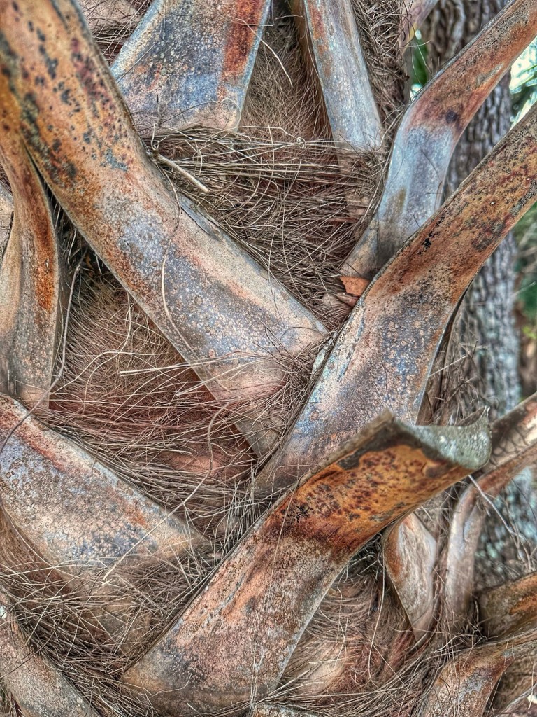
Cabbage Palmetto
Pat’s mother, Betty, visited Marjorie Kinnan Rawlings Historic State Park and was quite taken with the experience. Her experience motivated us to visit. This old Florida homestead was MK Rawlings home in the 1930’s where she wrote her Pulitzer Prize winning novel The “Yearling”. The park consists of her home, farmyard and trails.
Relaxing on the porch of the hired hands cabin
On our last day in Gainesville we made a quick trip to Devil’s Millhopper Geological State Park. The park consists of a 120 foot deep sinkhole with 132 stairs leading to an observation platform. While sinkholes are common in Florida, Devil’s Millhopper is unique in that it exposes 100 feet of rock layers for study.
At the bottom Part of the walking trail around the sinkhole
We enjoyed our stay in Gainesville in spite of the cold temperatures. There is plenty we missed and would return on our next visit to Florida.
Unforeseen circumstances required us to stay put in Tucson for an extra month. The extra month allowed us to continue our desert explorations and enjoy the friendships we’ve made during our stay. We were happy to get more time to bike the nearby desert trails.
Tim, Brian and Sue entering the quirky Fred’s Arena for dinner.
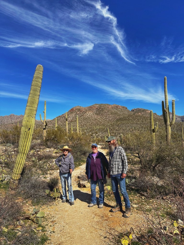
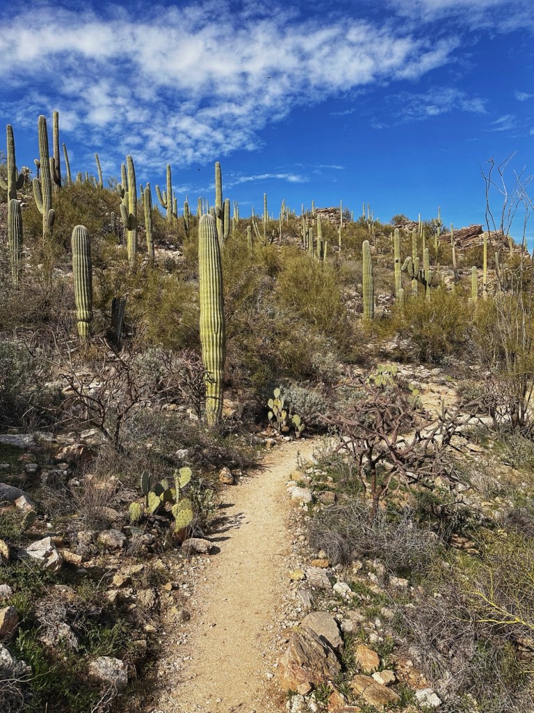
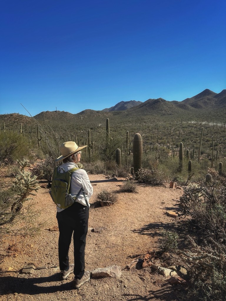
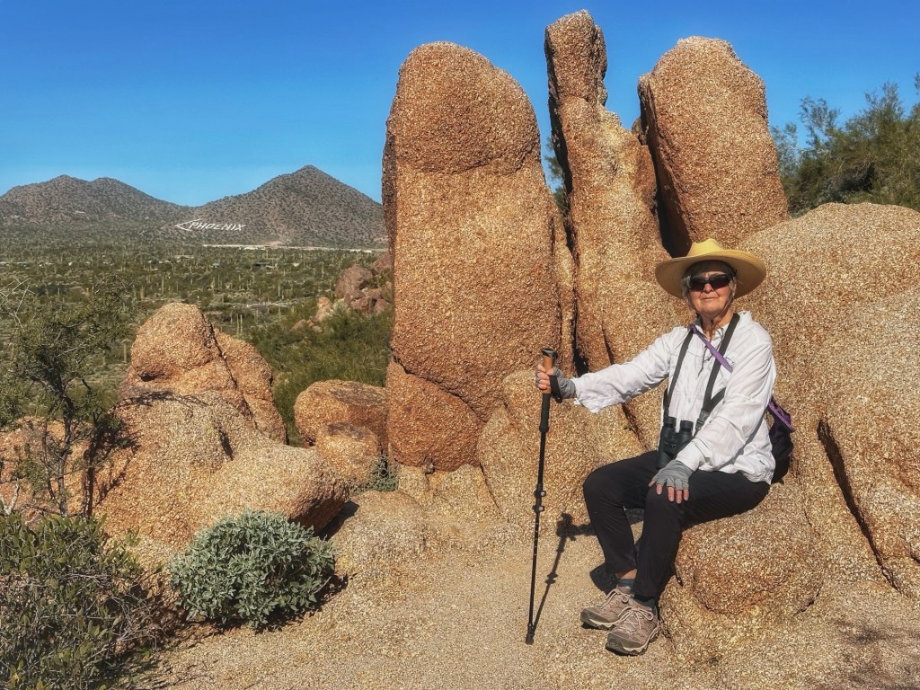
When we travel it’s always fun to meet people from around the country. Two years ago we met fellow Airstreamers Noelle and Andy. While they were in Tucson we hooked up for a hike in the Saguaro National Monument.
We chose the Sendero Esperanza trail.
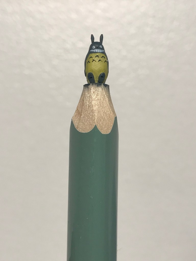
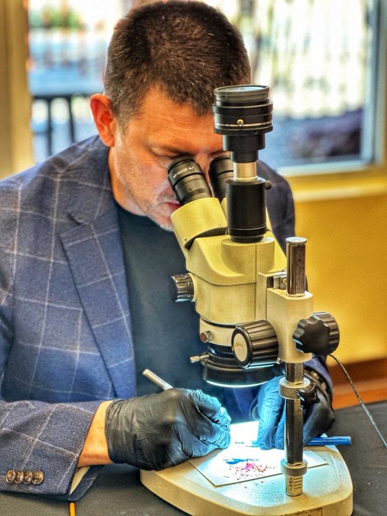
Tucson is home to a number of museums. While we’ve visited many of them over the years we’ve not made it to The Mini Time Museum of Miniatures. The museum features lots of doll houses, old and new, but we visited to see a special exhibit; The Pencil is Mightier: Art on the Tip of a Pencil by Salavat Fidai.
Salavat Fidai at work
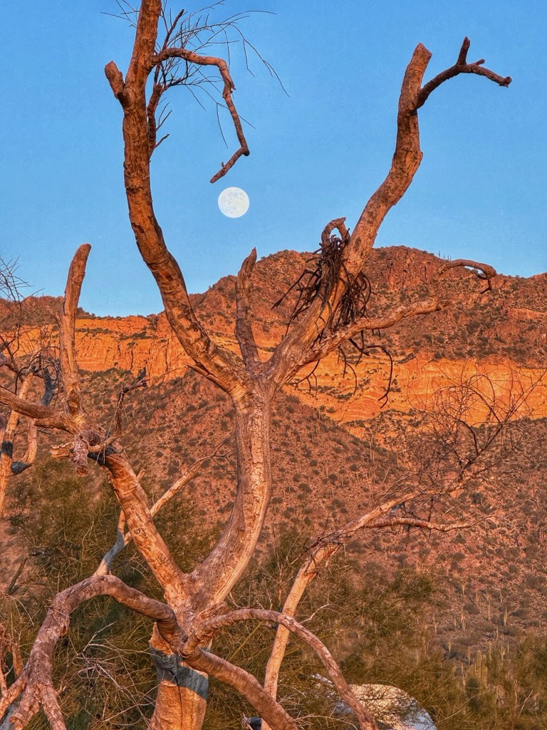
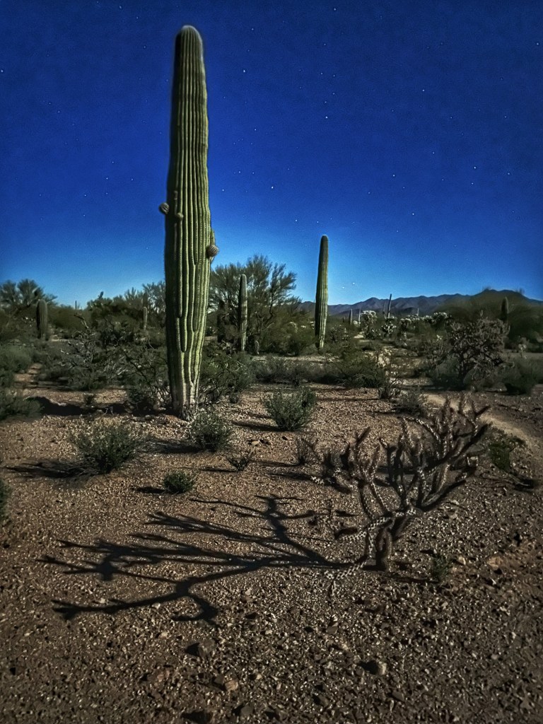
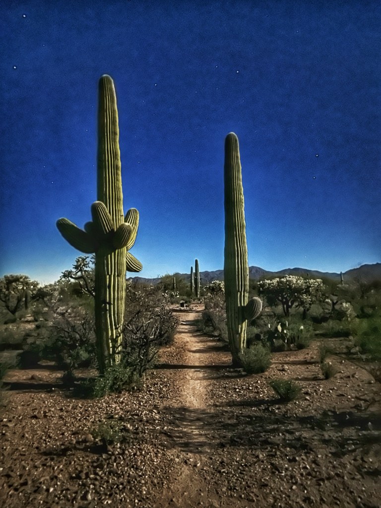
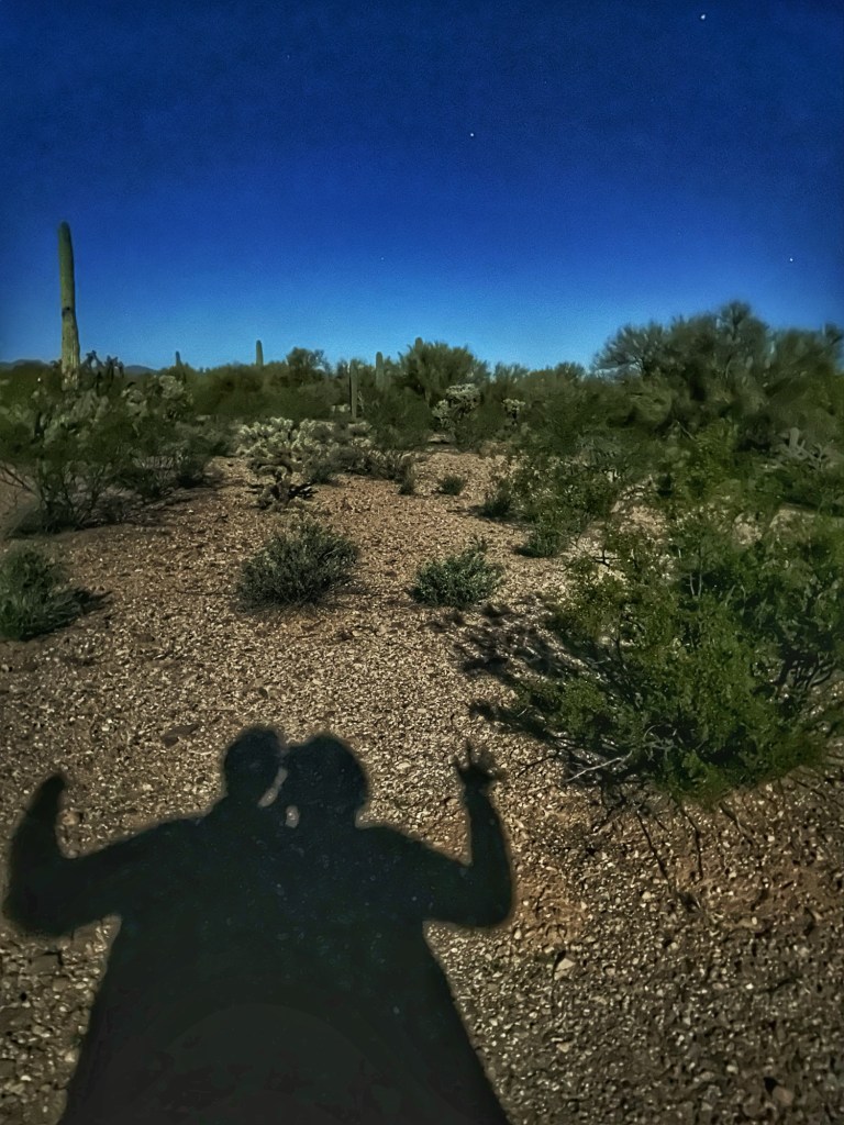
The extra month also gave us an opportunity to hike the desert under a full moon, no flashlight needed. It was as a unique experience. These photos were taken at around 8:00 pm.
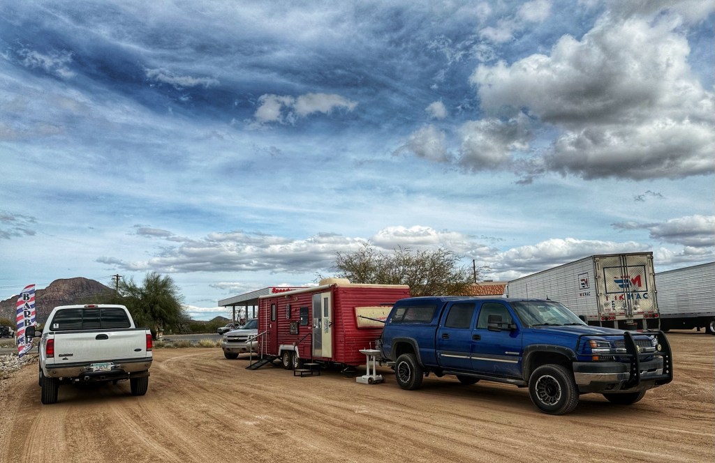
Shelly had another unique experience during our stay, a visit to the mobile barber (El Royo) that was set up next to our local Speedway gas station. The proprietor says he is one of three mobile barbers operating in Tucson.
The Sonoran Desert always draws us back to Tucson. The appeal of Desert Trails RV Park, besides the friends we’ve made, is the easy desert access. We’ll be heading East but we’re sure the call of the desert will have us back in Tucson before long.
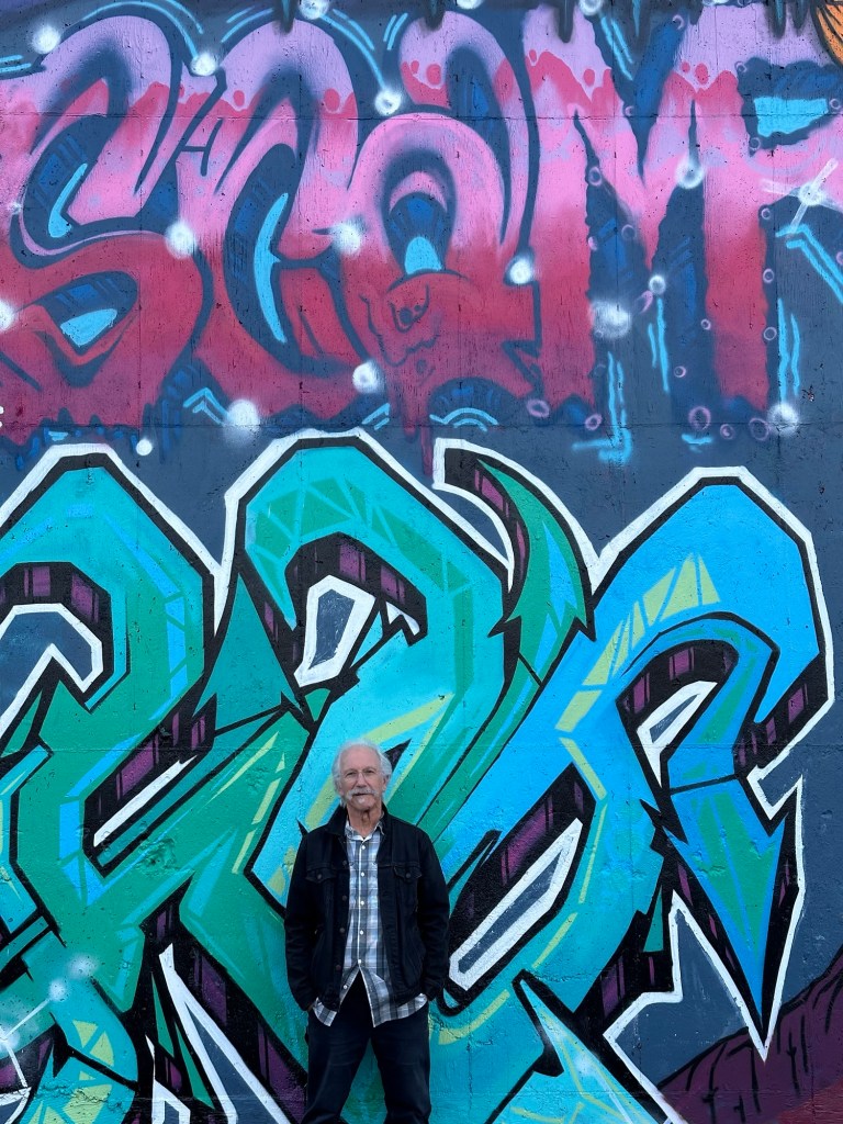
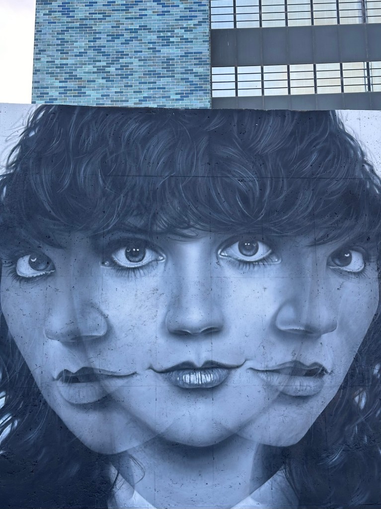
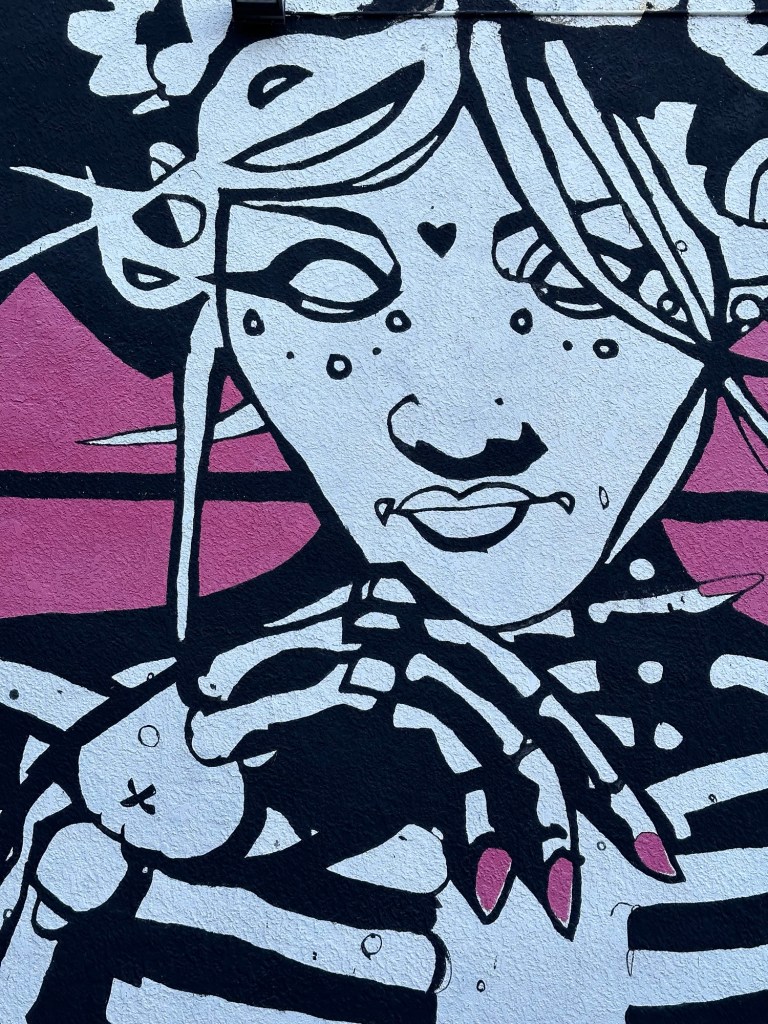
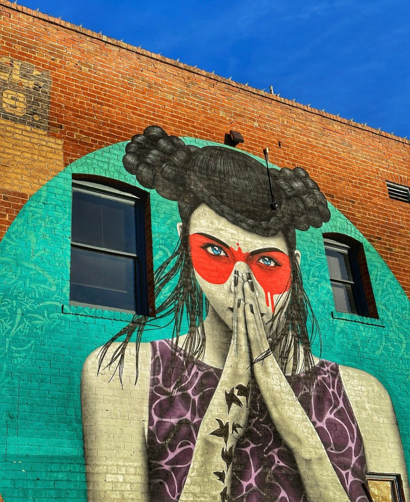
Part of our motivation for staying in Tucson was to attend the Tucson Jazz Festival and the city’s Gem and Mineral Show. Our extended stay also gave us a chance to wander downtown Tucson and checkout its many murals.
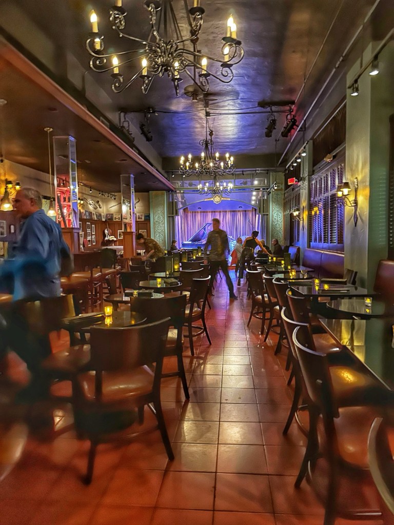
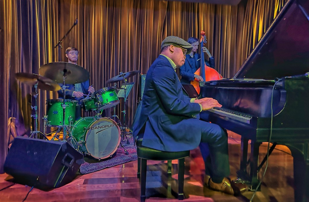
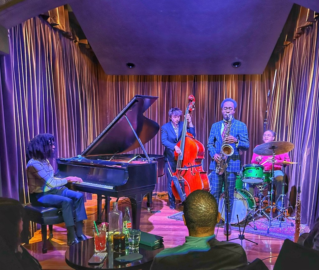
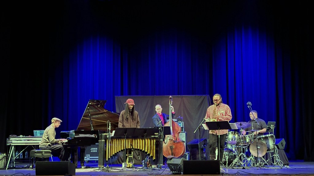
Most of the shows we attended for the Jazz Festival took place in the Century Room, a relatively new, two year old club in the Congress Hotel.
The 100 seat Century Room
This is a world class jazz venue that offers music almost nightly. We enjoyed everything we saw at the club and the Old Fashions were tasty.
Isaiah J. Thompson TrioMiguel Zenon Sean Mason Quartet Donny McCaslin
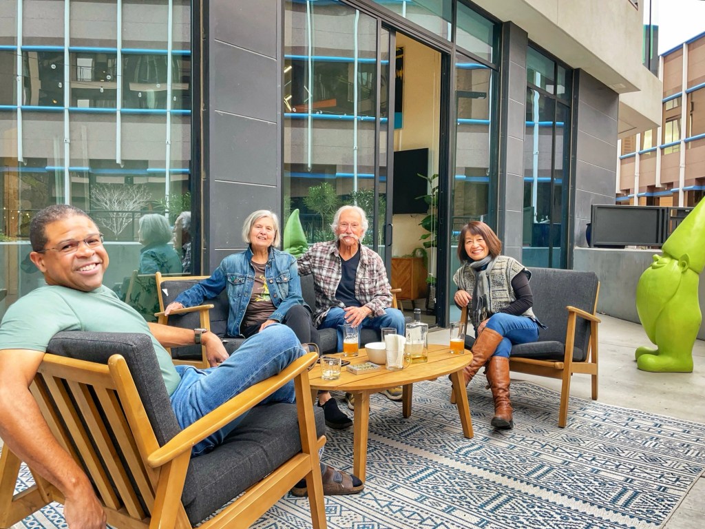
On of the great things about jazz festivals (besides the music) is meeting and connecting with fellow fans. This trip we met a terrific couple from Los Angeles, Rob and Fumiko. We hung out, went to dinner and enjoyed their company.
We also attended some terrific shows in some of Tucson’s larger music venues.
The Emmitt Cohen Trio at the Rialto Theatre
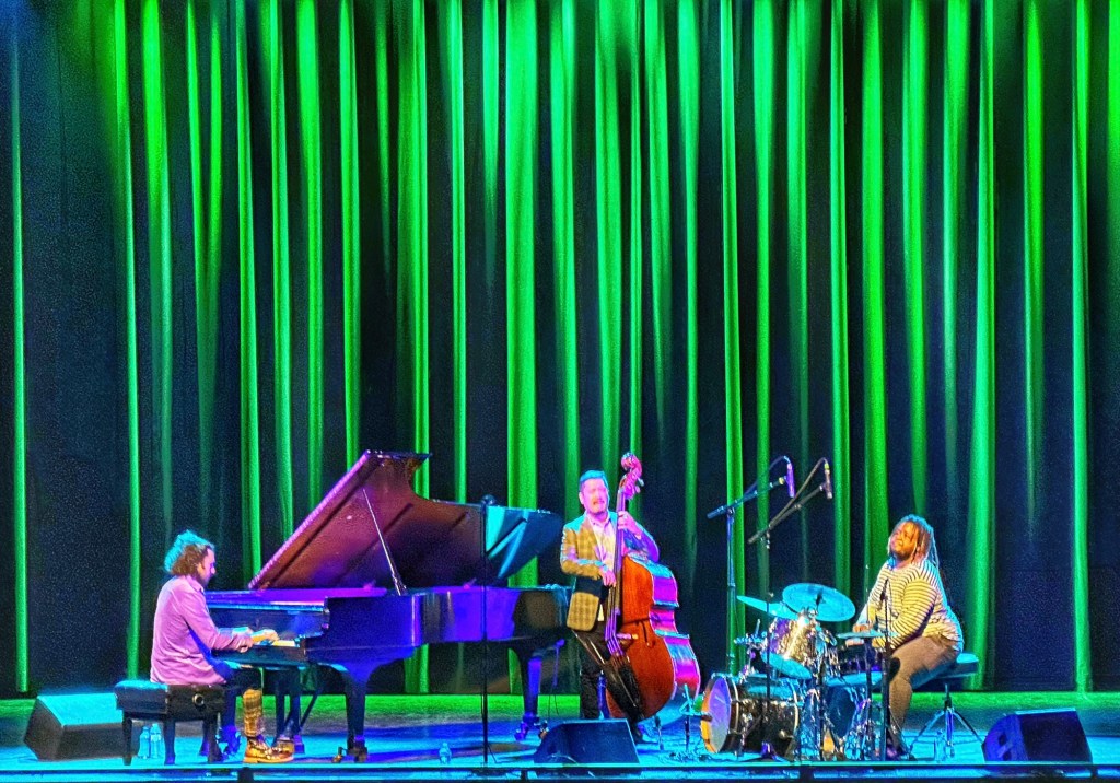
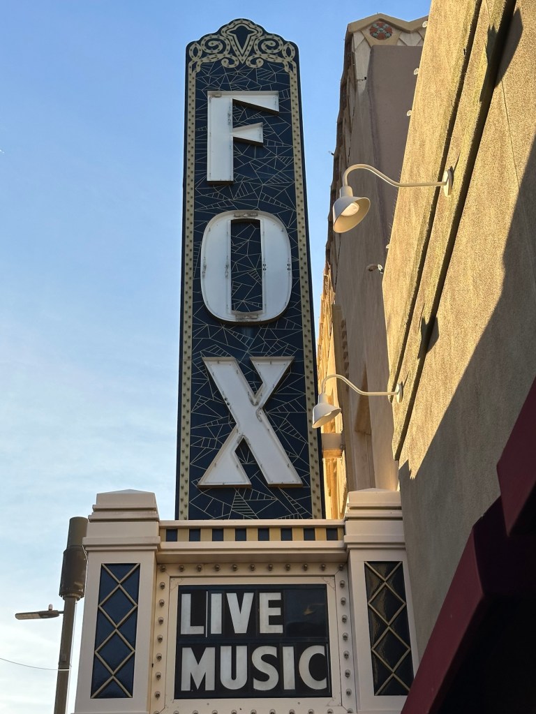
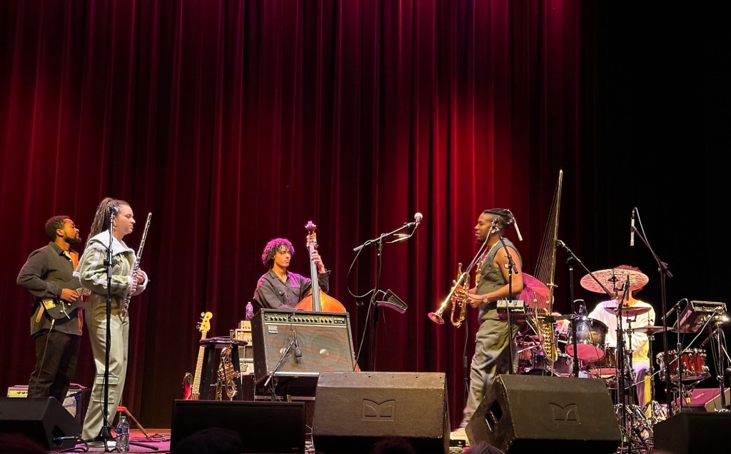
We enjoyed two shows at the restored Fox Tucson Theatre.
Chief Xian aTunde AdjuahBlue Note Quintet featuring Gerald Clayton, Joel Ross, Matt Brewer, Immanuel Wilkins, and Kendrick Scott
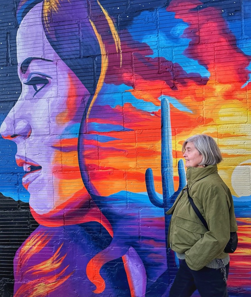
It was a phenomenal week of music. The festival got us downtown almost daily which gave us an opportunity to checkout downtown’s many murals.
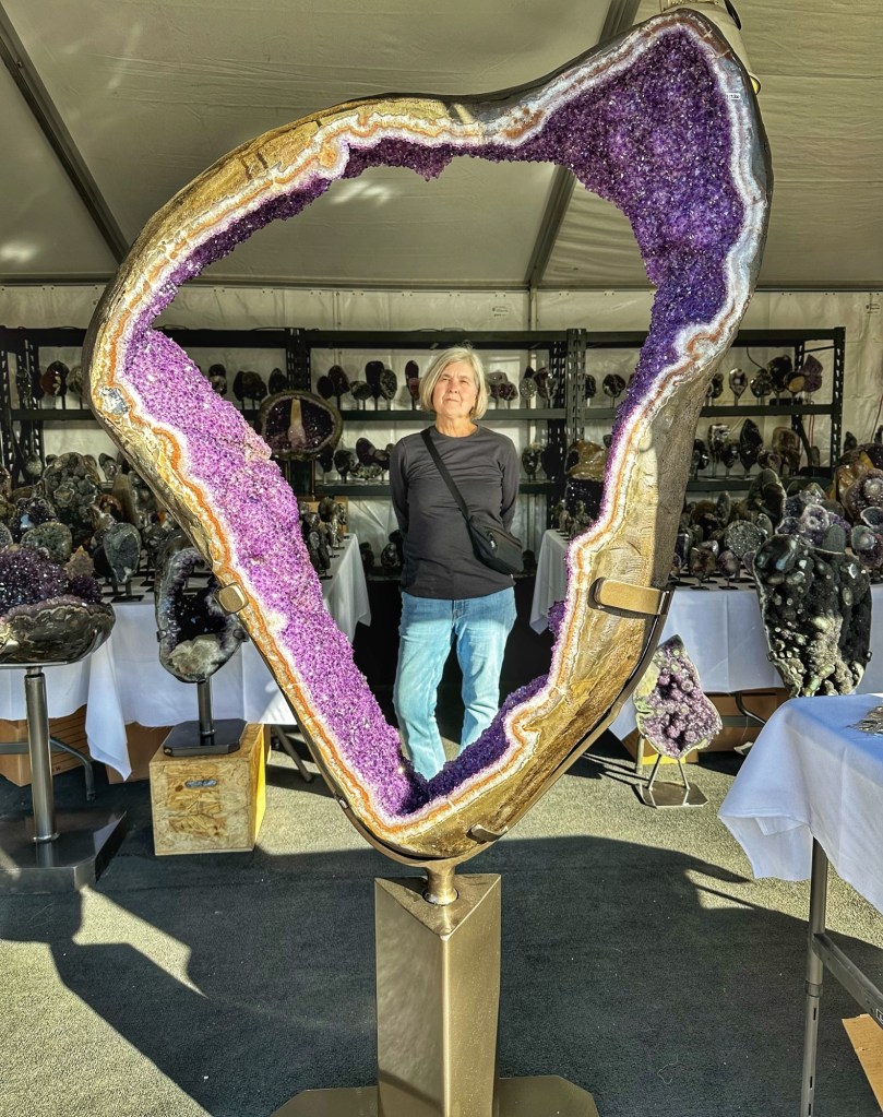
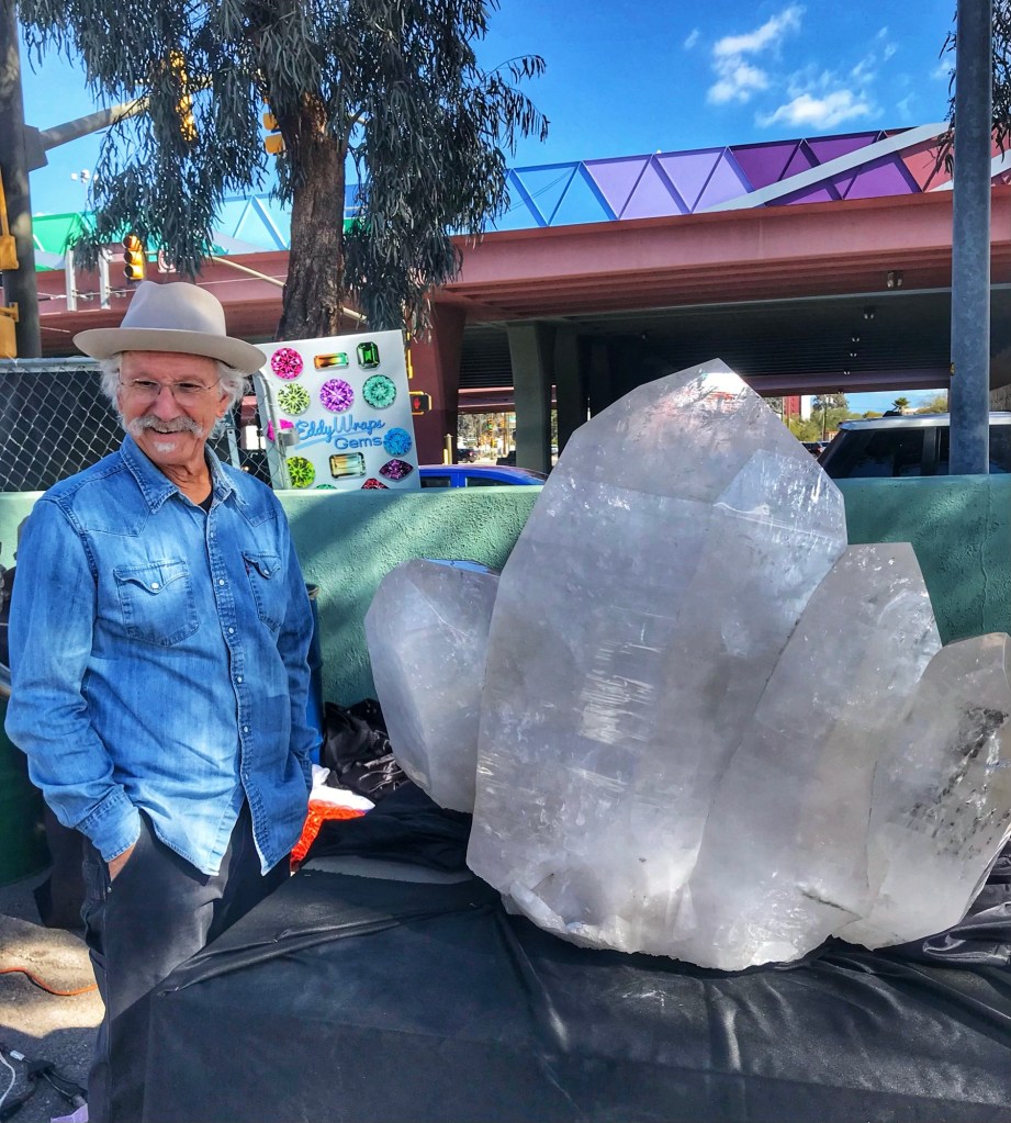
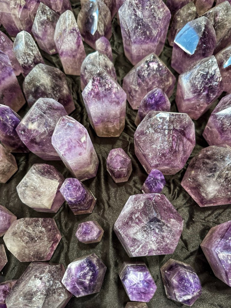
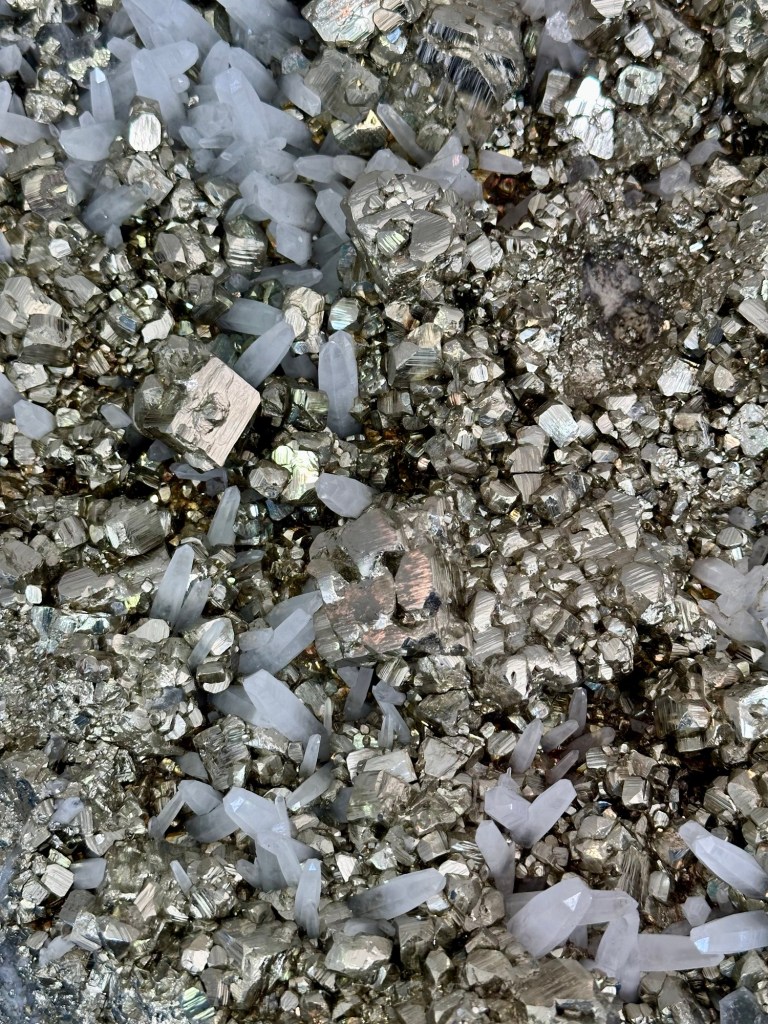
The Tucson Gem and Mineral Show is an annual event that draws thousands of visitors from around the world. The event is billed as the world’s largest gem and mineral show and we believe it. It’s been on our “to do” list for a while and this year we made it happen.
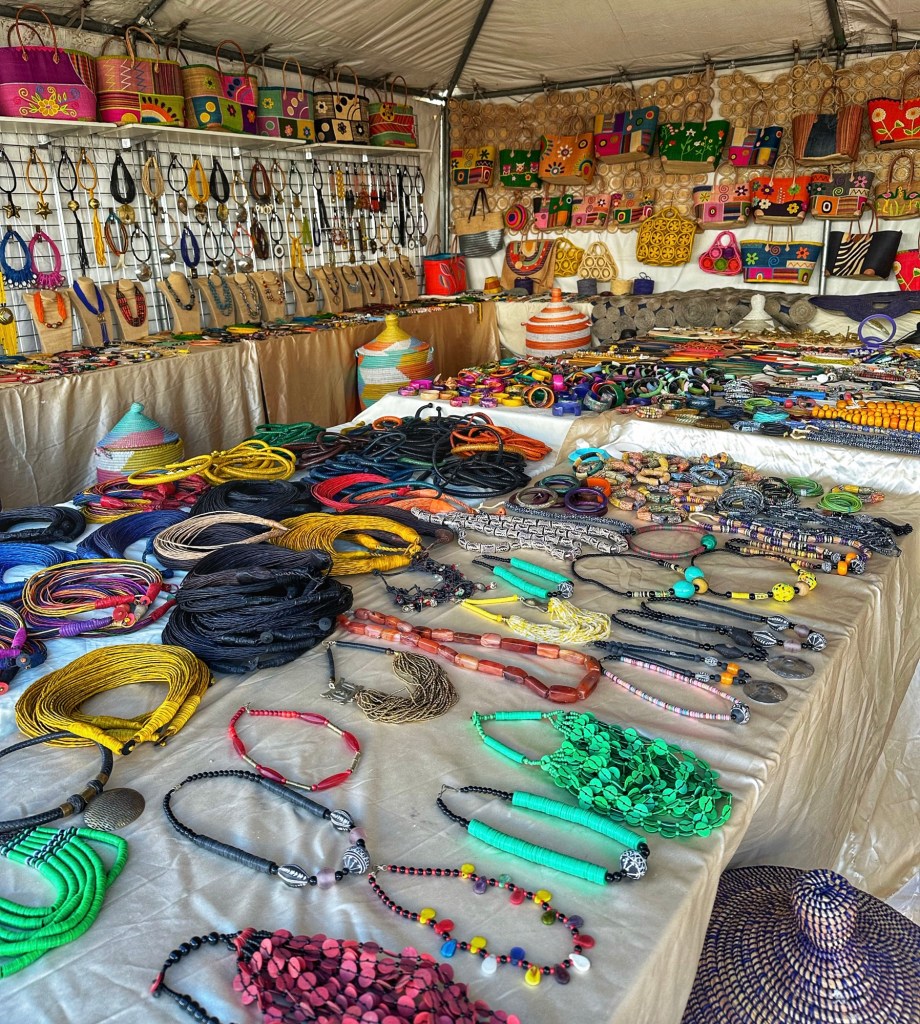
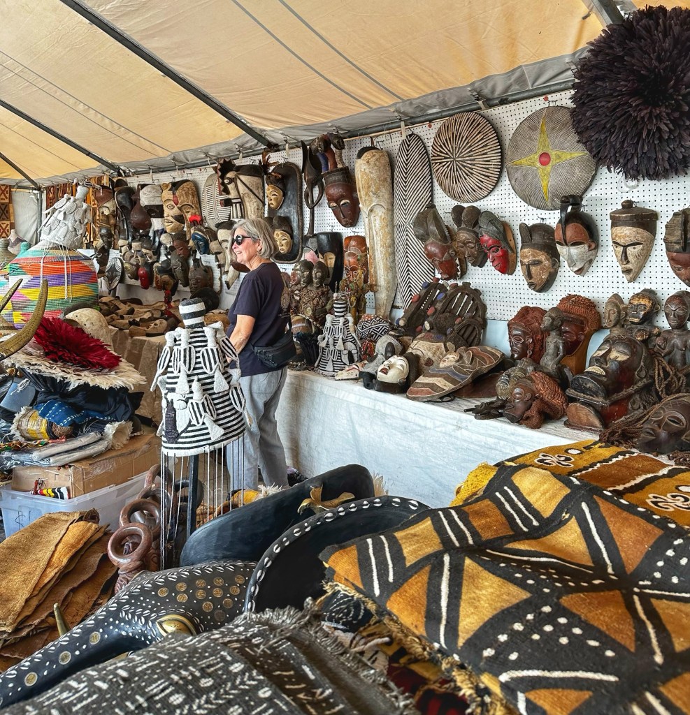
An African Village was set up in tents on a large parking lot. This is where vendors from Africa set up shop.
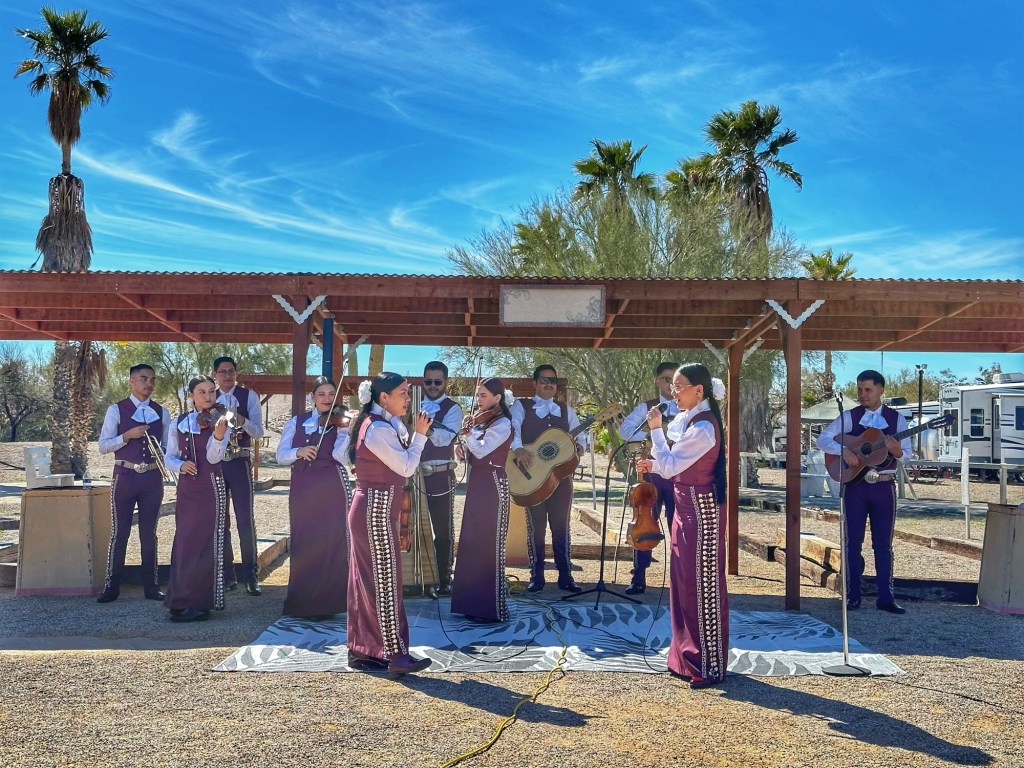
It’s an overwhelming experience to wander through the exhibits. After about four hours our eyes glazed over and knew it was time to move on. Meanwhile, back at camp the the Sunday music program continued full speed ahead.
The Sonoran DogsMariachi Nuevo Azteca
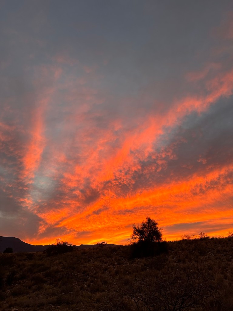
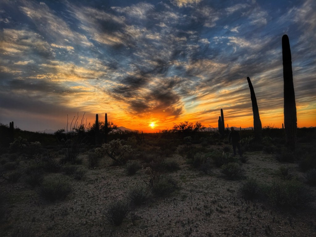
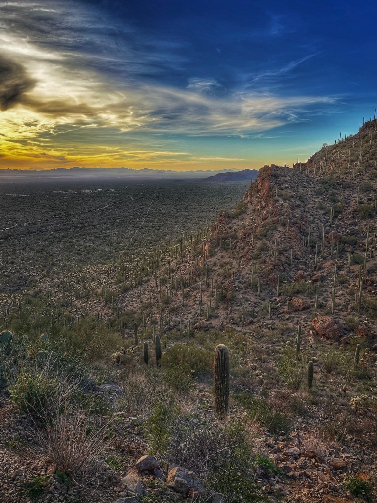
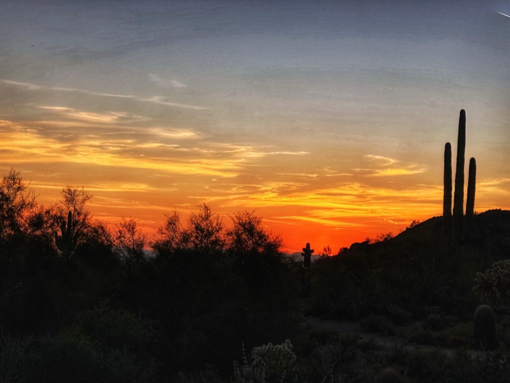
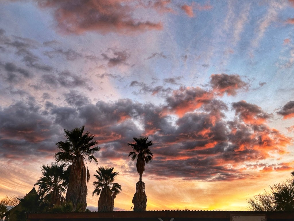
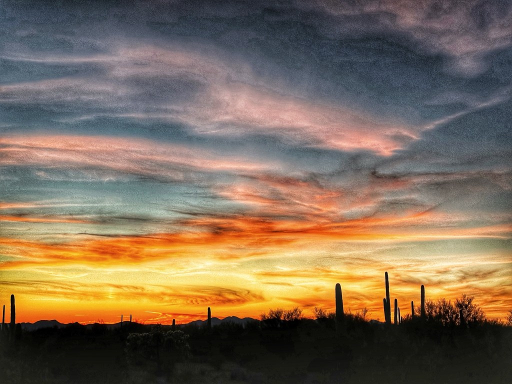
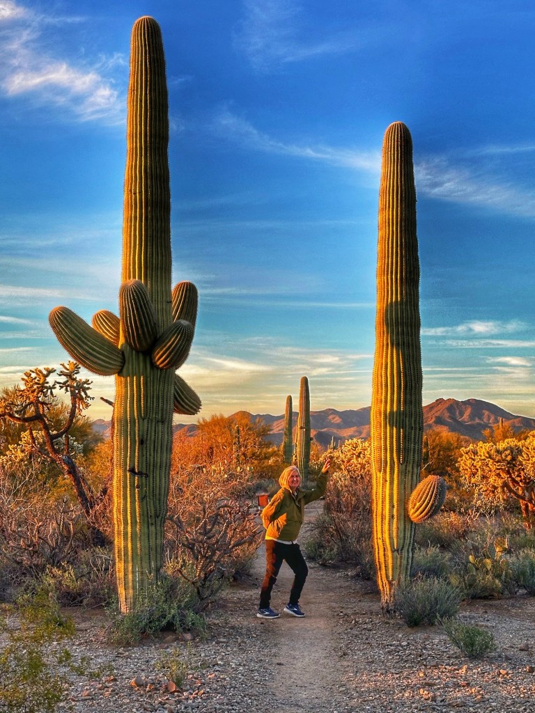
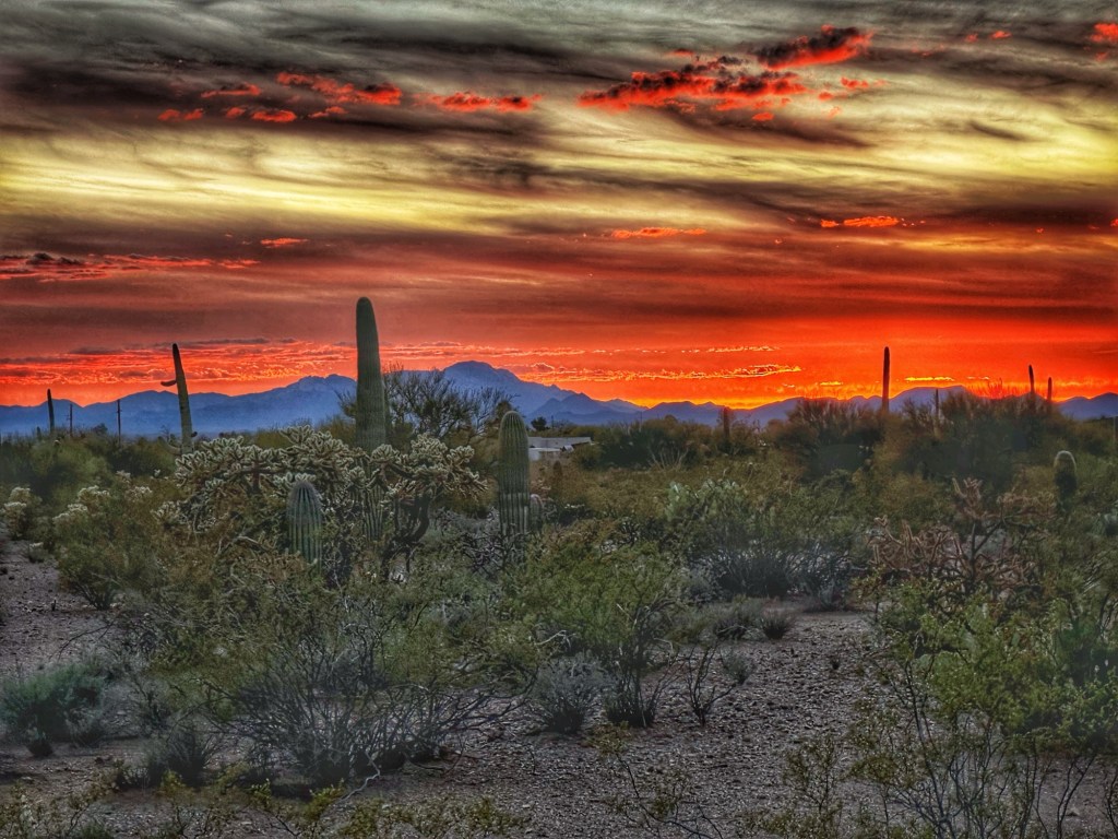
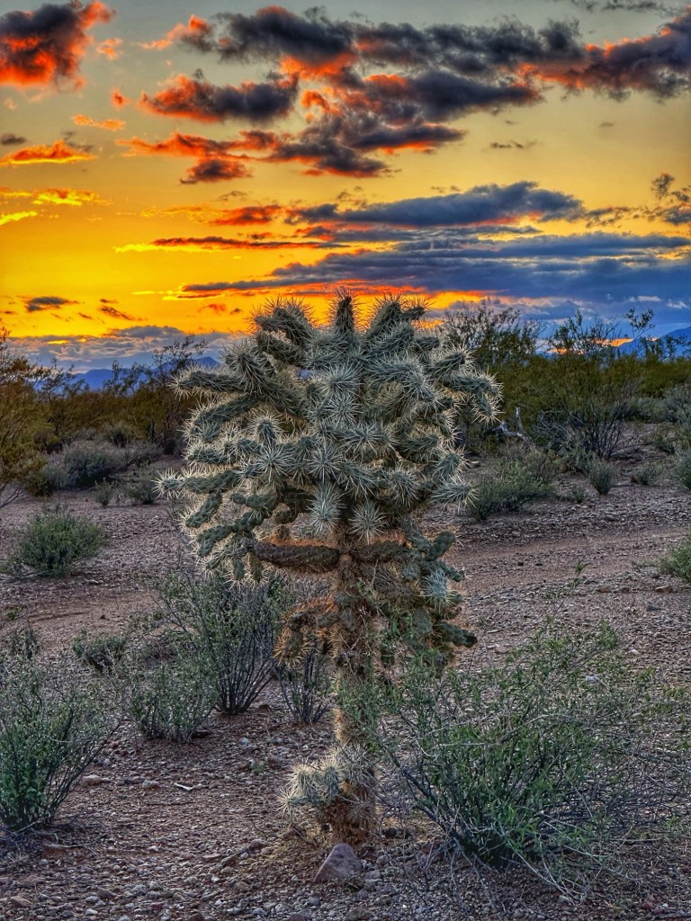
In between all the music we continue to enjoy the stunning Arizona sunsets.