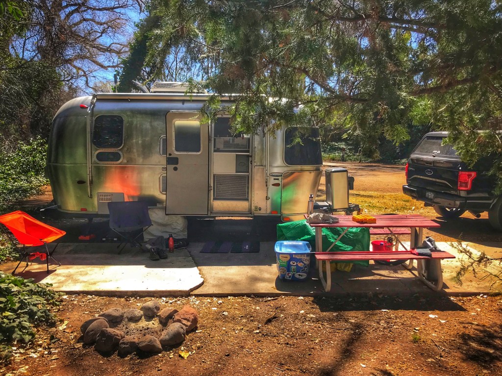
The allure of Sedona and its stunning scenery continues to draw us to this part of Arizona. We are not the only people who are drawn here. As a result Sedona can become a continuous traffic jam. It’s spring break for many which just adds to the traffic. We like to set up camp out of the fray. Our choice this spring is a private RV park in Page Springs, AZ., just off 89A.
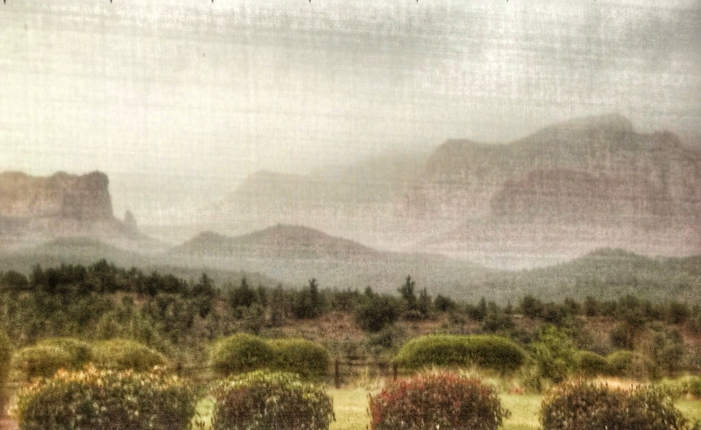
The campground is located in Oak Creek canyon which makes it difficult to watch the sun set. After we set up we drove toward Cottonwood in search of a sunset viewpoint. We headed to the Cliff Rose trails with high hopes.

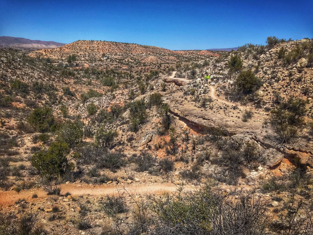
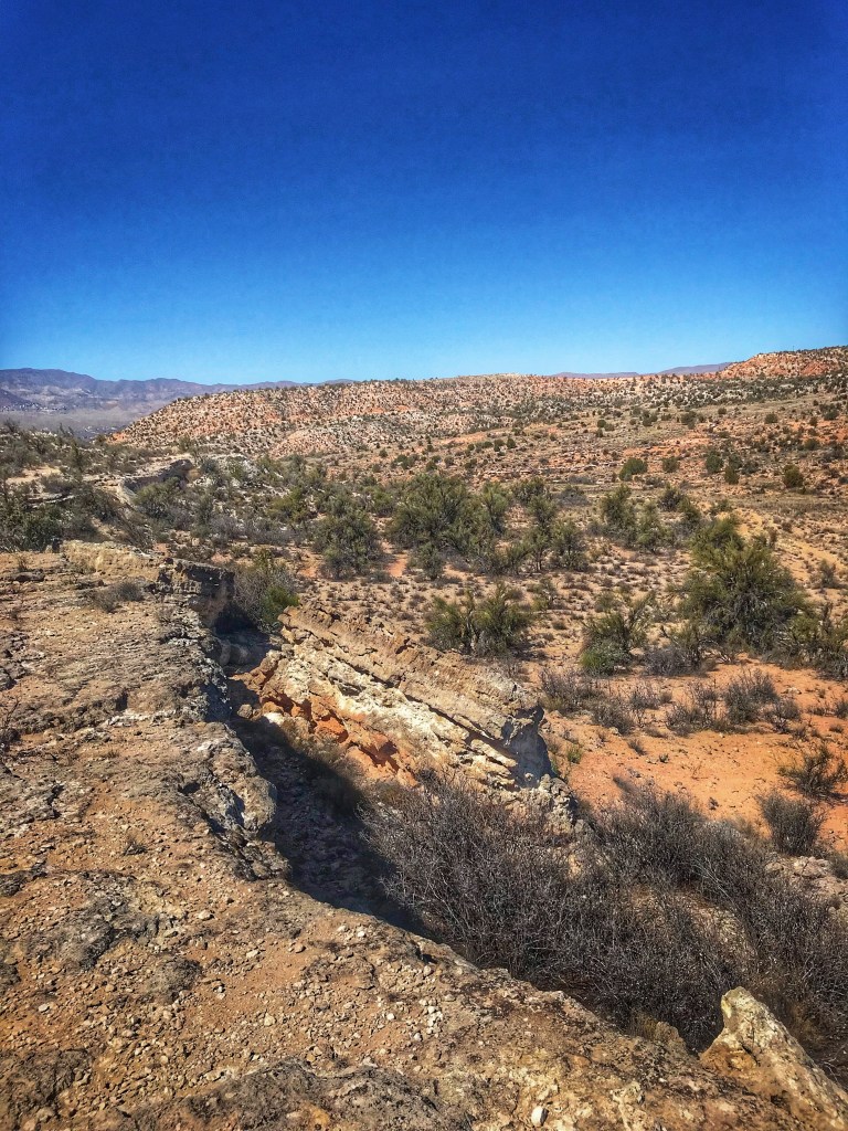
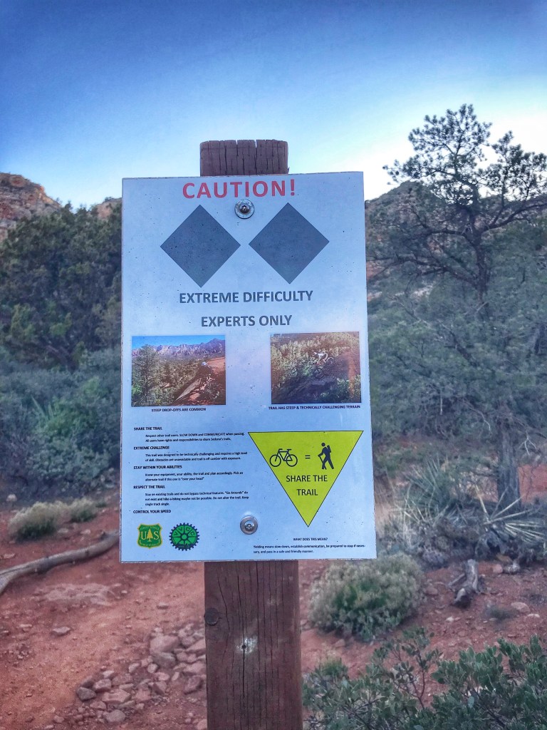
The Cliff Rose trails are also used by mountain bikers. After hiking part of the trails we decided to give it a go on our bikes.

Everything was going great until we hit the backside of the outer loop. The cliff in Cliff Rose should have been the tip off.
We met fellow Airstreamers Noelle and Andy at Usery Mountain Park and realized we’d be in the Cottonwood area at the same time. We decided to meet up for a bike ride along Sycamore Canyon Rd..
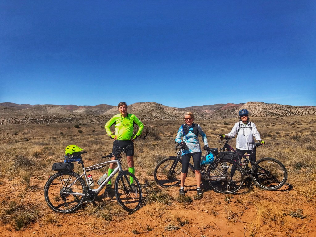
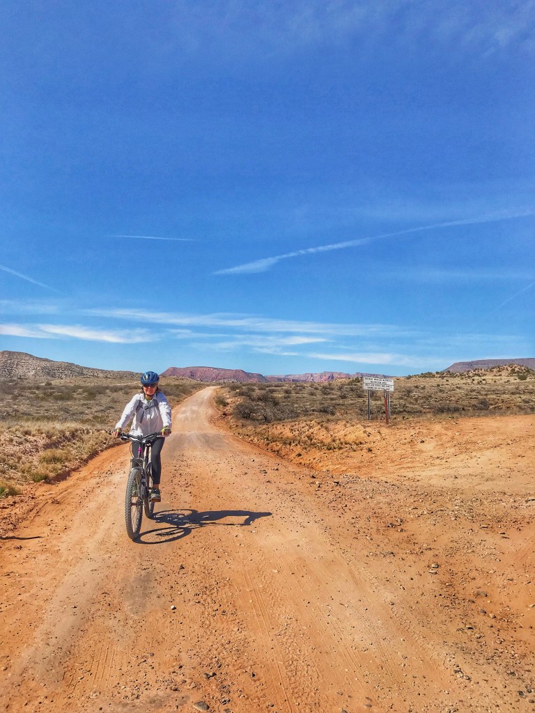
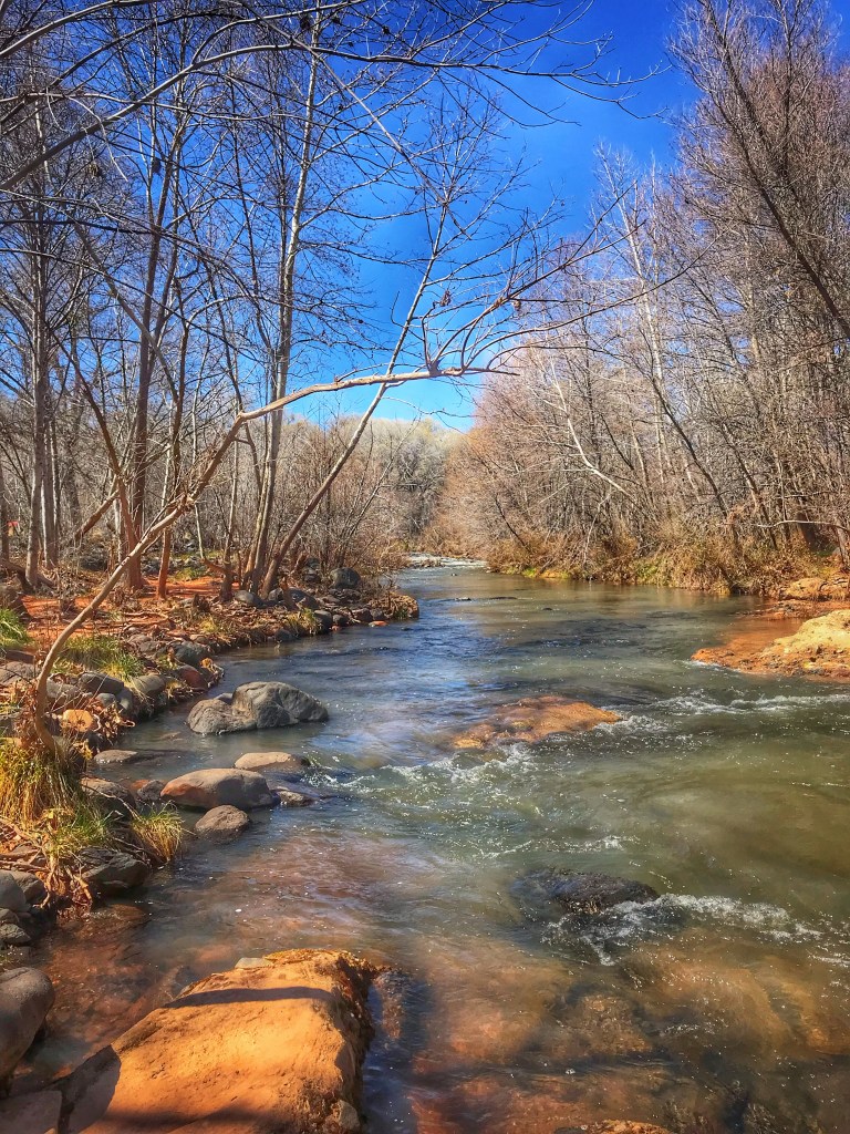
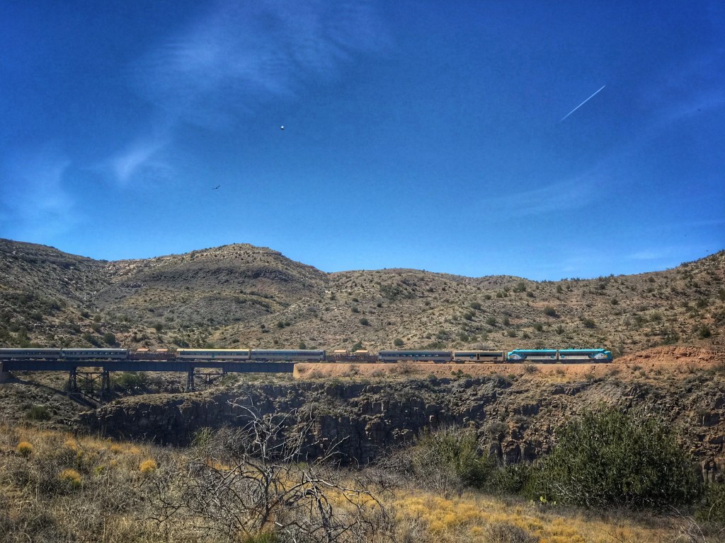
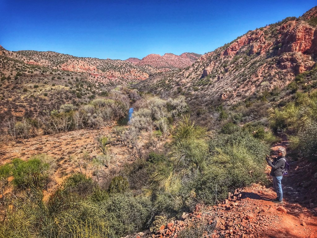
We rode out toward the Sycamore Canyon trailhead until it was time for lunch. Using a rutted and cobbled Forest Service rode we headed for a lunch spot overlooking the Verde River. Shoutout to Noelle and Andy for braving this rutted road on their hybrid bikes.
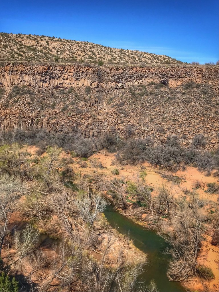
For an extra treat, as we ate the excursion train from Clarkdale went by on the opposite side of the canyon. This is the same train we rode during our visit in the Fall.
The next day we drove to the end of Sycamore Canyon Road(11 miles) where the trail through Sycamore Canyon begins. The trail had been closed when we last visited. The closure was due to fires and flash flooding during the previous year.


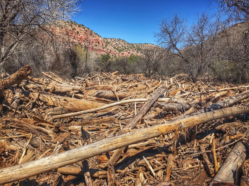
The fire and flooding necessitated the rerouting of much of the trail making it difficult to follow at times. We hiked in about one mile and then decided to head back.
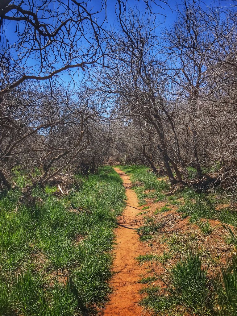
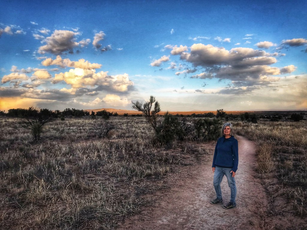
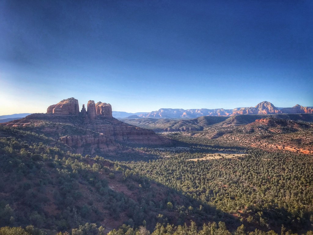
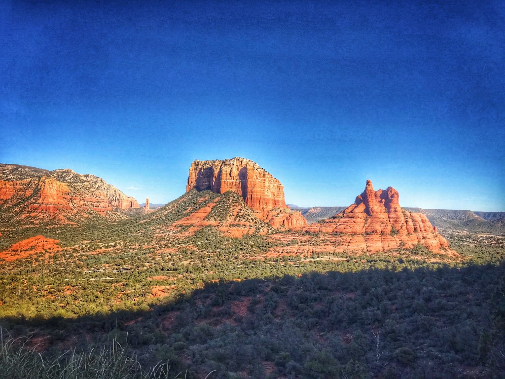
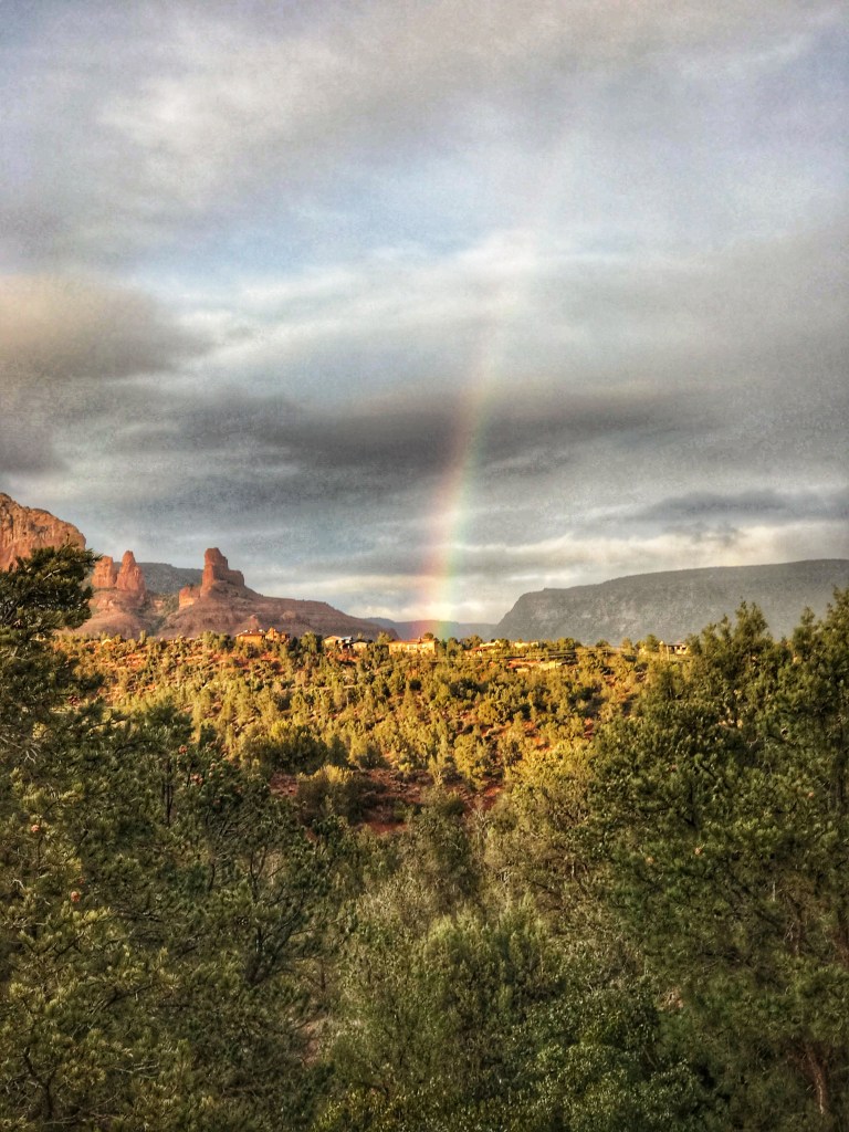
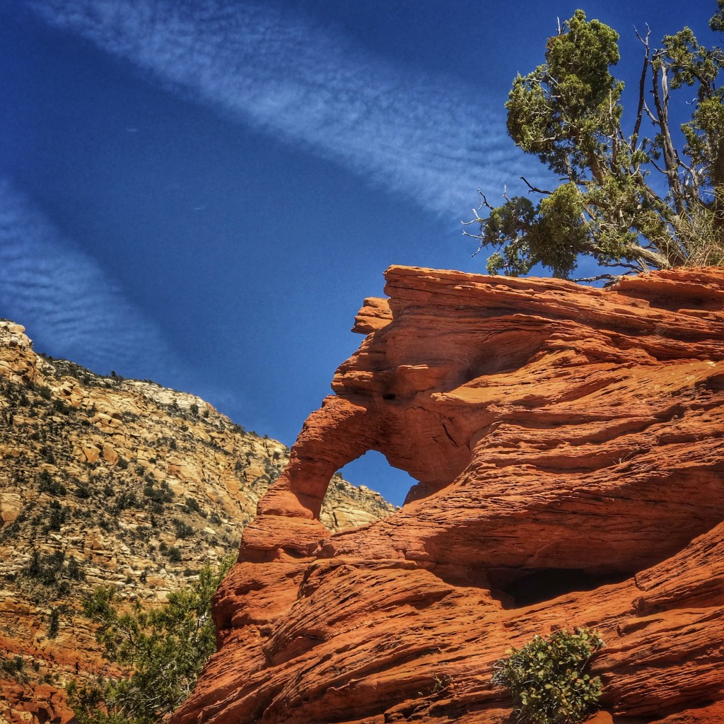
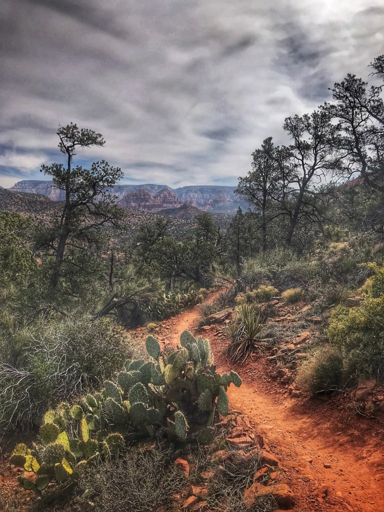
The crowd visiting Sedona necessitates planning when going on a hike. The trailhead parking lots fill up quickly. You have to arrive early (7:30-8:00am) or mid afternoon after the early birds are leaving. We opted to arrive in the afternoon to hike a section of the Hiline Trail and watch the sun set from Yavapai Vista.
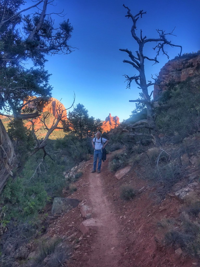
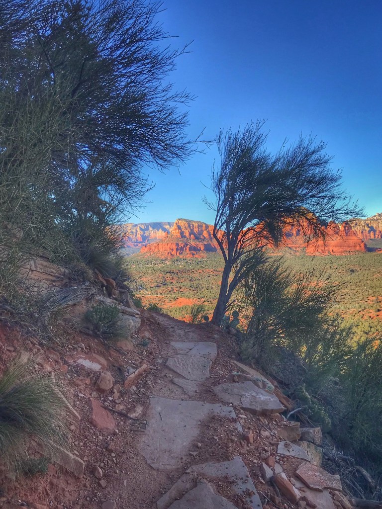
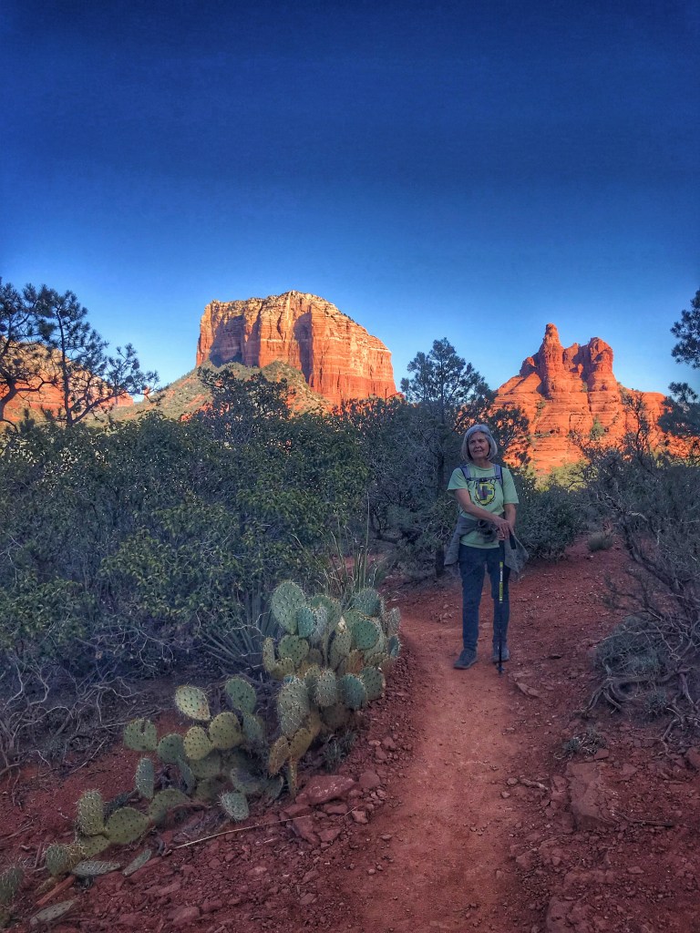
The trail offers iconic views of Cathedral Rock, Courthouse Rock and Bell Rock.
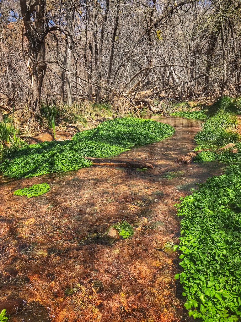
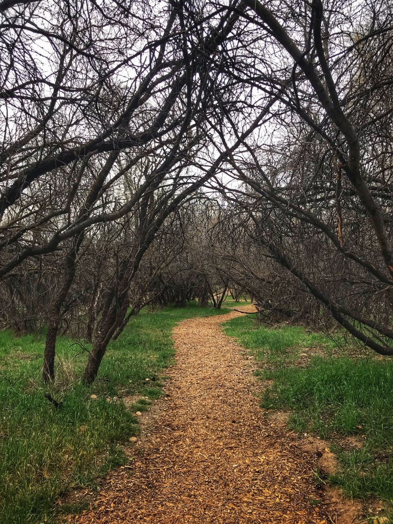
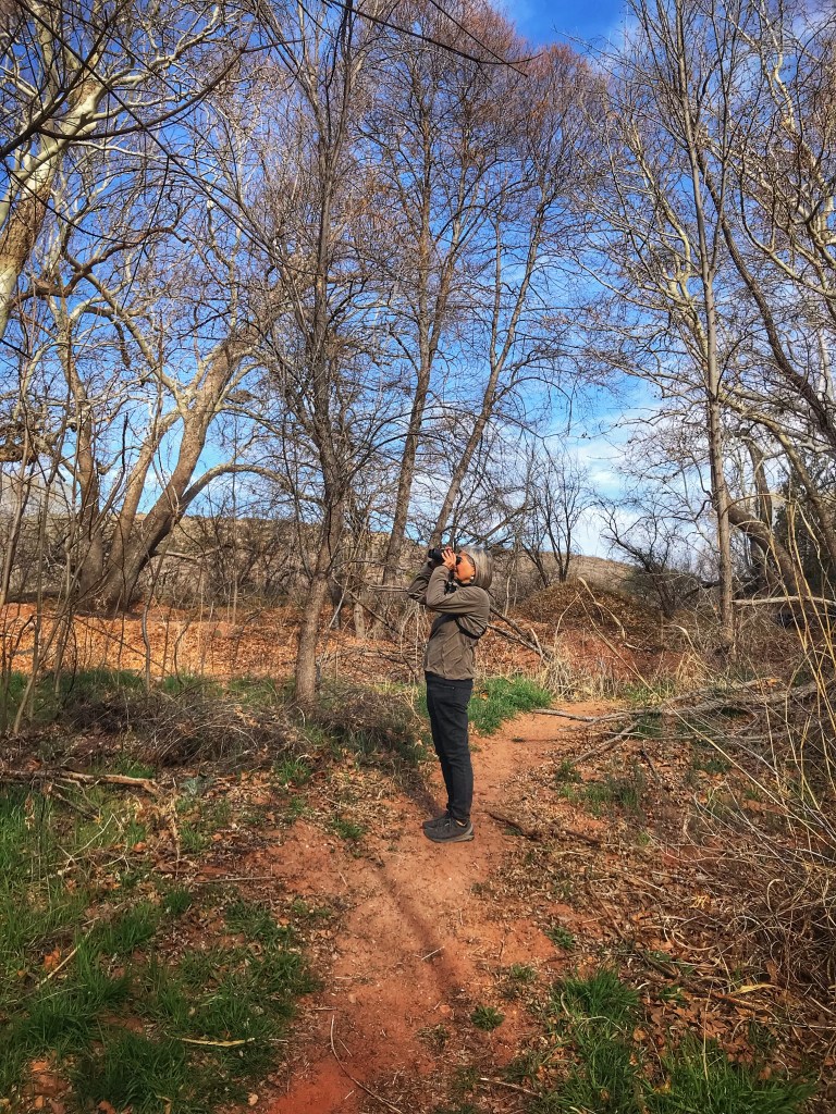
Bubbling Springs Preserve is located a mile down the road from our camp. The Preserve is a popular spot for bird watching and dog walking.
Along with wonderful scenery, Sedona also boasts a world class restaurant scene. If you want to eat at one of the more popular spots planning ahead is essential. Pat started looking for reservations a month before we arrived in town. She was able to find a coveted table on the patio of Mariposa.

As we dined clouds and rain rolled in. The patio is covered, screened and heated so we ate in comfort.
By the end of dinner the rain stopped and the clouds lifted.
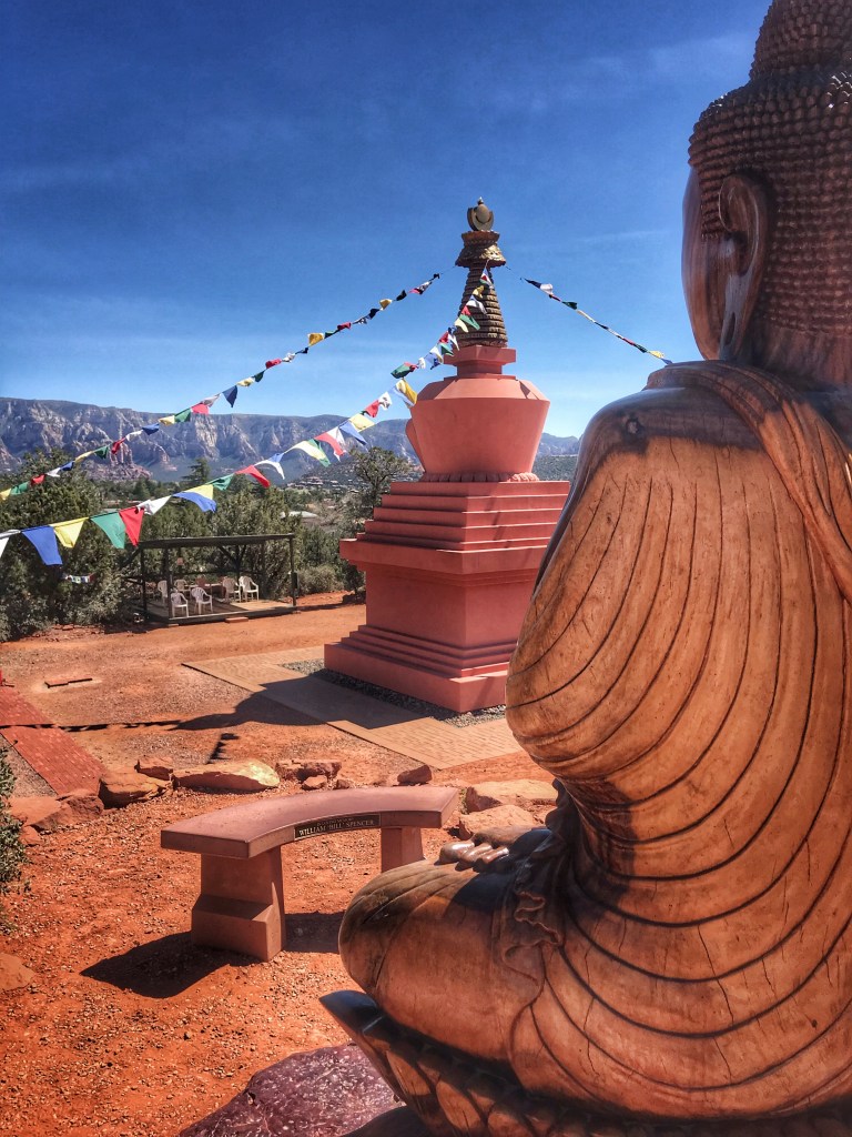
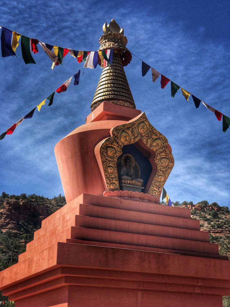
During our Fall visit to the area we realized that we had not explored the West Sedona trails. We settled on the Thunder Mountain loop with a detour up to Chimney Rock.
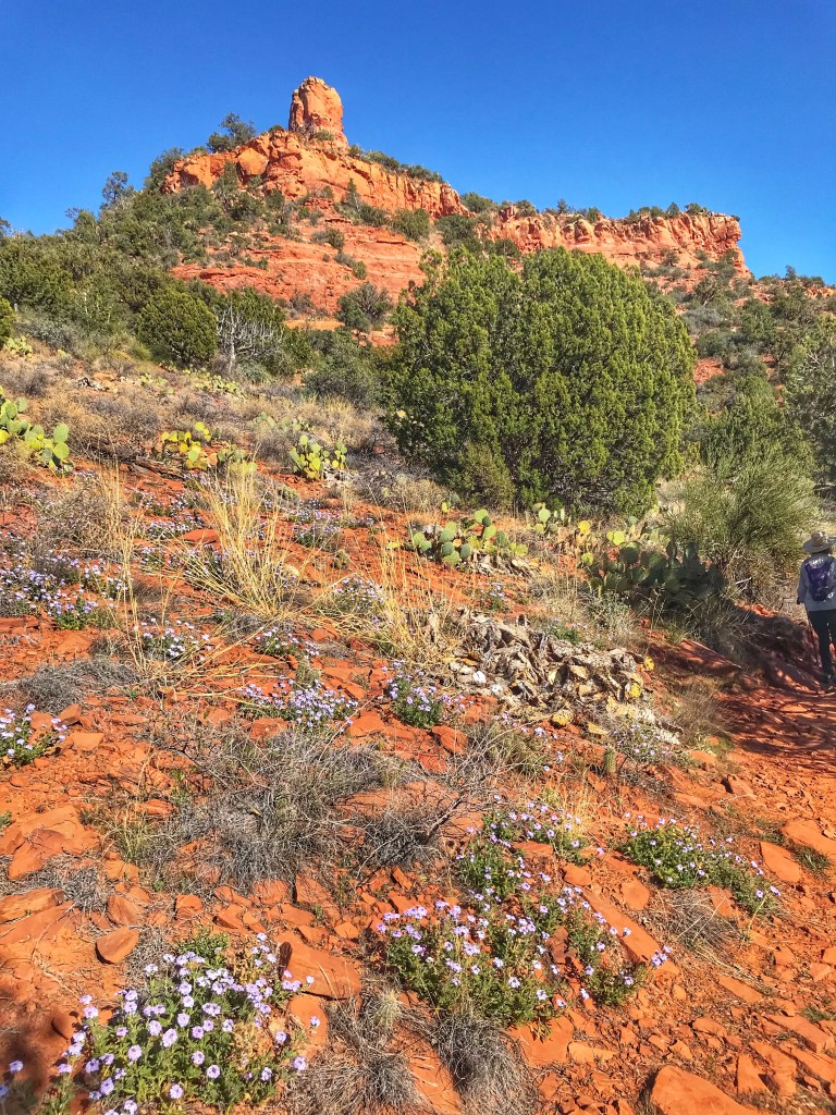
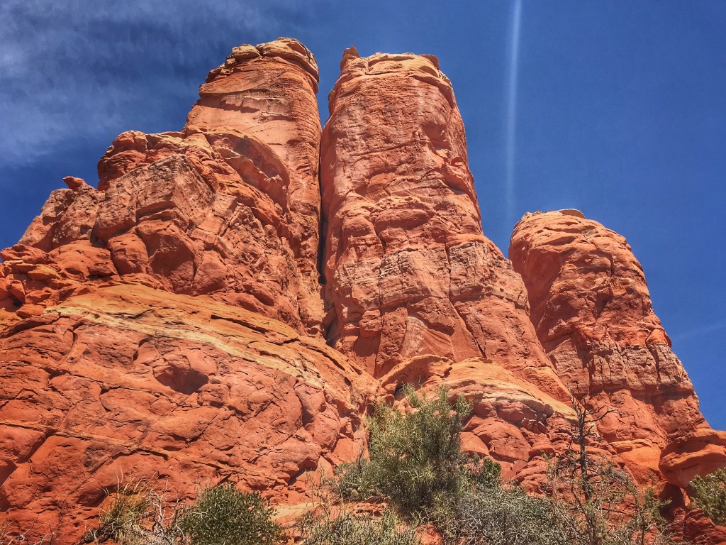
The Thunder Mountain Loop Trail is located near the Amitabha Stupa and Peace Park and is always worth a visit.
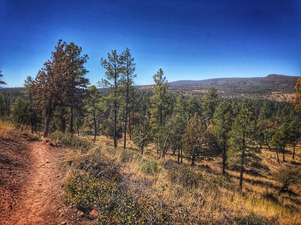
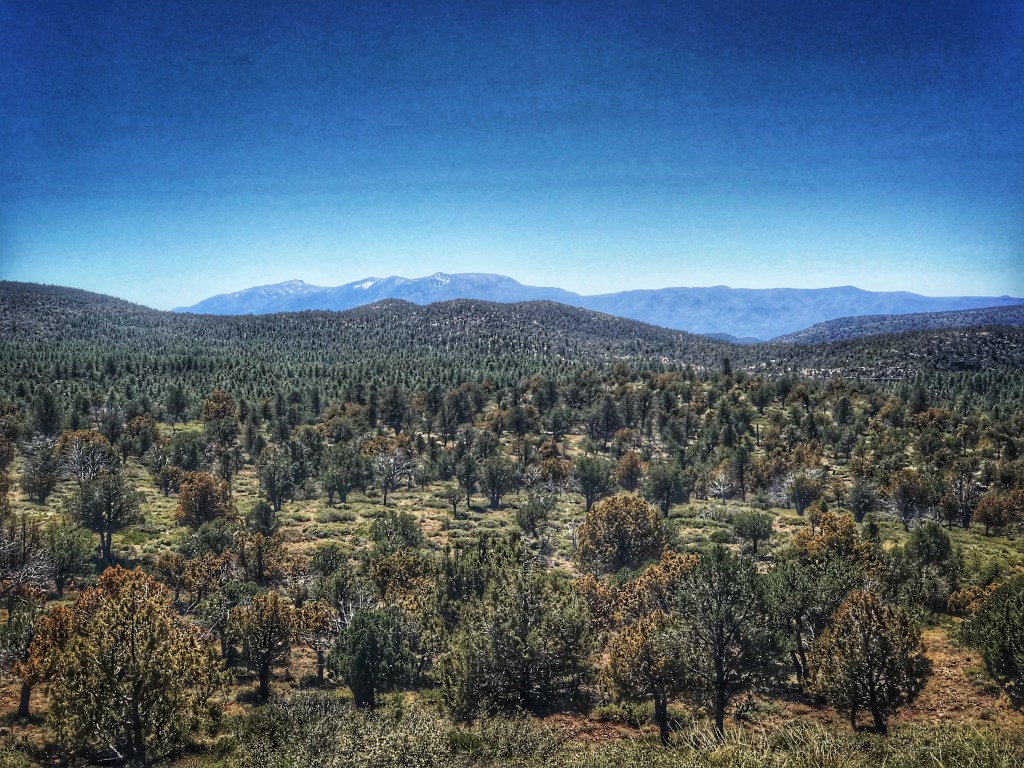
We decided to visit the Mogollon Rim which cuts through northern Arizona. These mountains can reach as high as 8000 feet and form the southern rim of the Colorado Plateau.

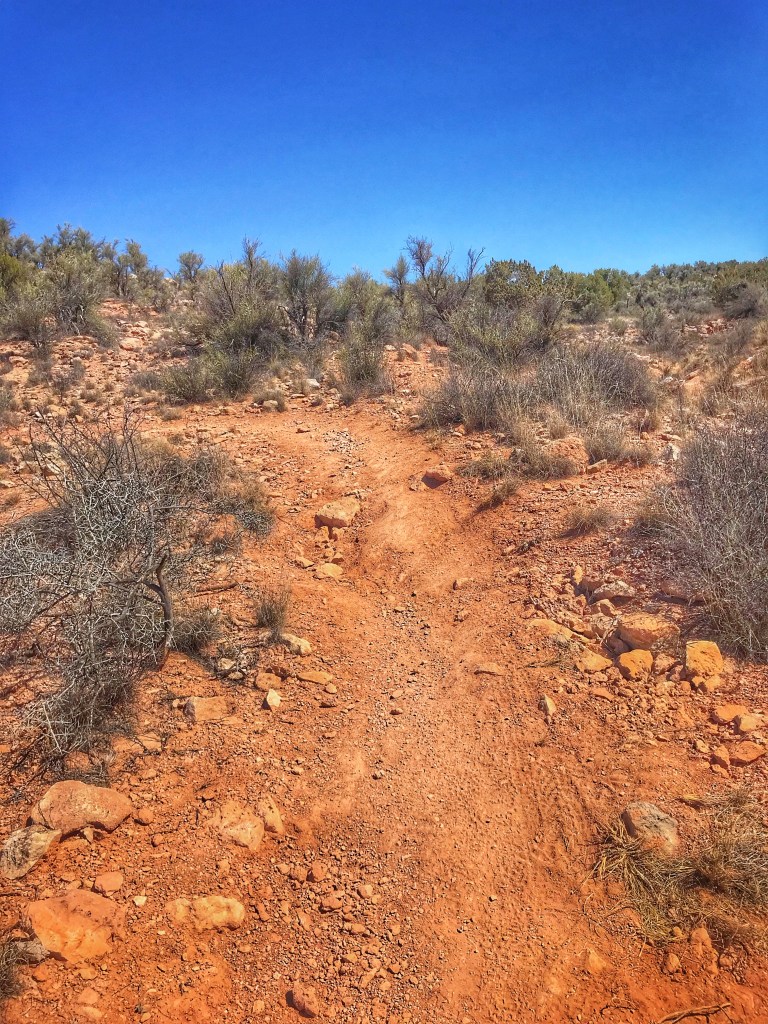
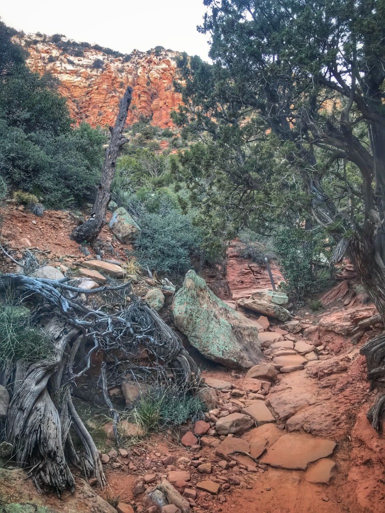
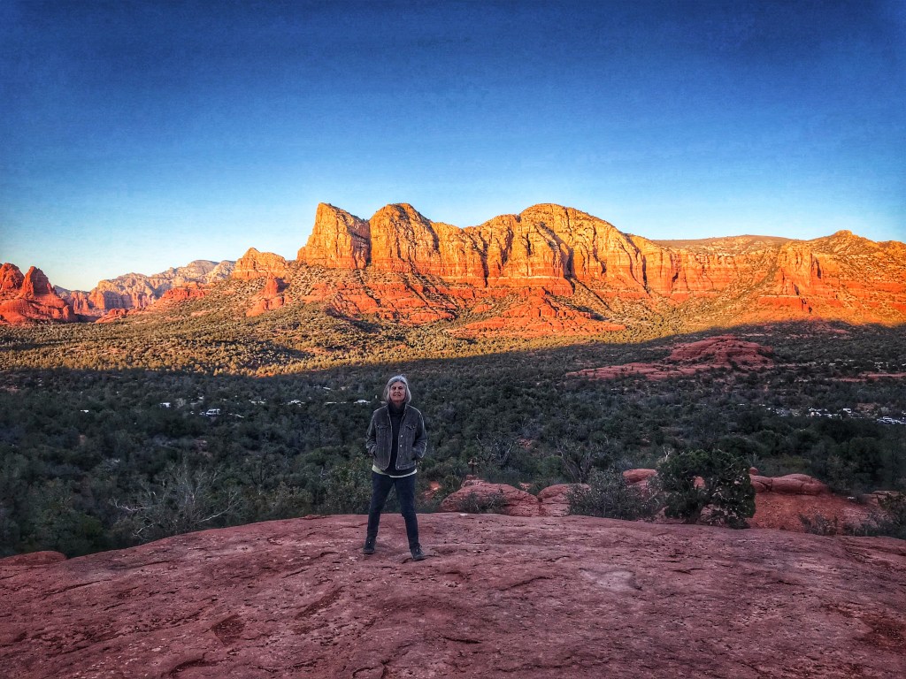
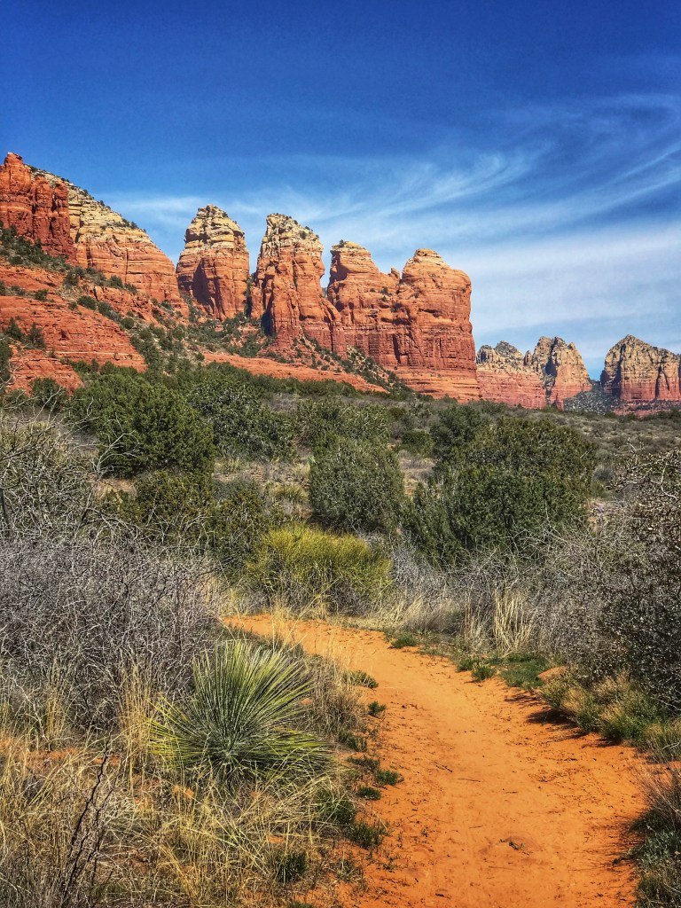
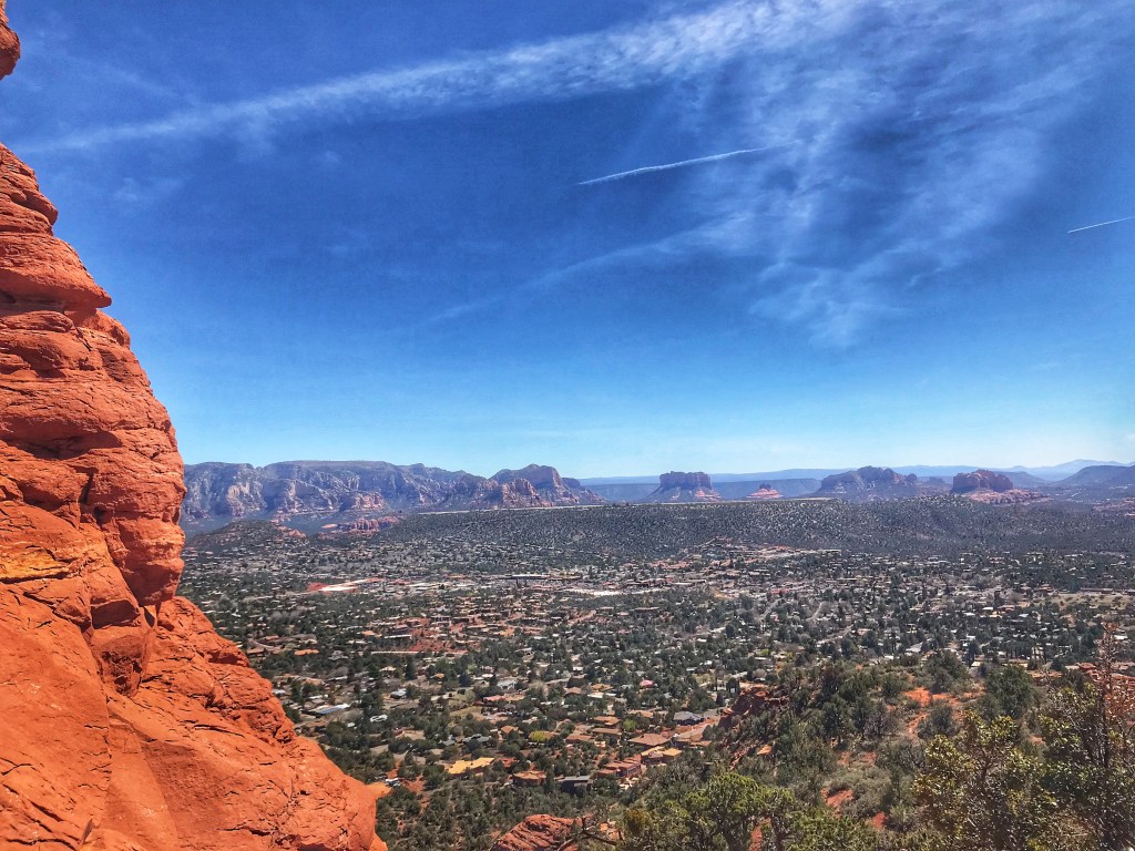
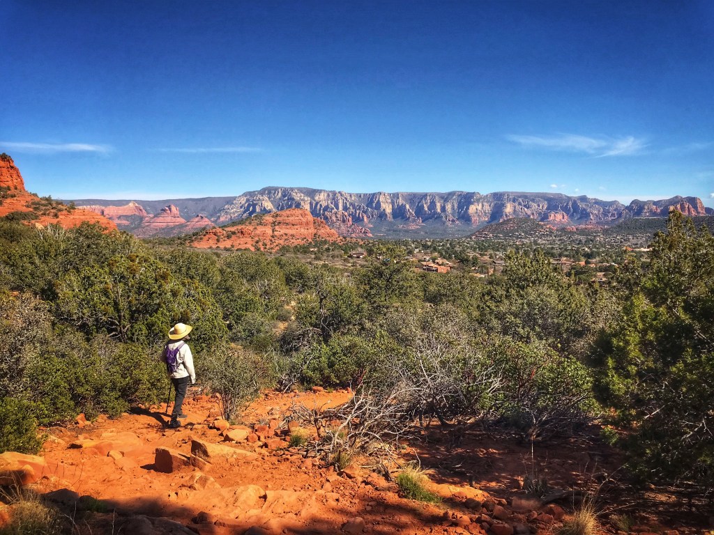
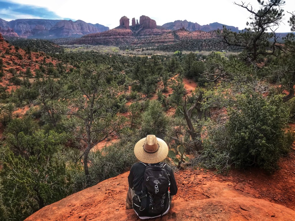
On our last day in Sedona we decided to continue our exploration of the West Sedona trails. We chose the Pyramid Mountain Loop. It was a good choice.
The trail offers great views of Cathedral Rock along the trail.


More magical snaps!! Who’s the third person in the last pic? Thanks for sharing ❤️
LikeLike
LOVELY VIEWS and colors! David and I also hiked in this area years ago, but stayed at a b&b with bell tower view from their backyard! Also found Sedona way to crowded for us; drove through on our way to and back from a gorgeous hike along a creek into the mts. and held up in traffic for an hour, but it was a gorgeous area for sure! Enjoy the sunshine; snow here again today and staying on the ground! arghhhh, we are done and want spring but will see some great flowers and sunshine soon in Madeira for our spring break hiking trip with the twins and Matt. Take care Joanne and David
LikeLike
Yet again, awesome photos and narrative. You captured the feeling of being there. Also impressed with your skills avoiding crowds.
LikeLike
As usual wonderful photos, we are happy to fallow you two! Keep on keeping on
LikeLike
All I can say is:. AWESOME!! Thank you!
LikeLike
Your adventures are Epic. The scenery is gorgeous but I love seeing you guys the best!
LikeLike
Love your posts! We used to live in Sedona near the Chapel so it’s delightfully familiar, tho we stuck to easy Bell Rock trail for easy MTB’ing, right from our house. Last year we camped in Clarkdale and enjoyed biking Sycamore Cyn Rd from camp, then some of the dirt paths that continue from there. Happy trails!
LikeLike
Loved your post, done like the professionals you are besides being beautiful people, safe travels
LikeLike
Amazing pictures thanks for sharing 👍
LikeLike