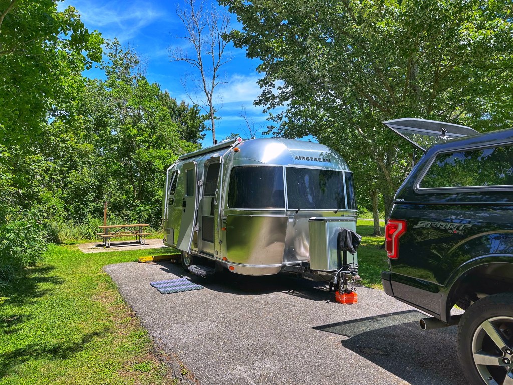
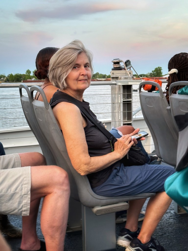
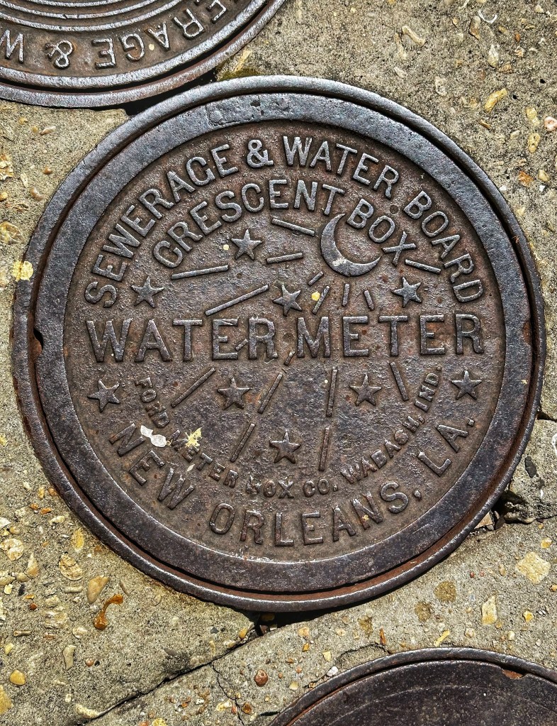
When visiting New Orleans we always camp at Bayou Segnette SP on the west bank of the Mississippi River. A twenty minute drive gets us to Algiers Point and a short ferry trip across the Mississippi to the French Quarter.
Site 98Festival Bound
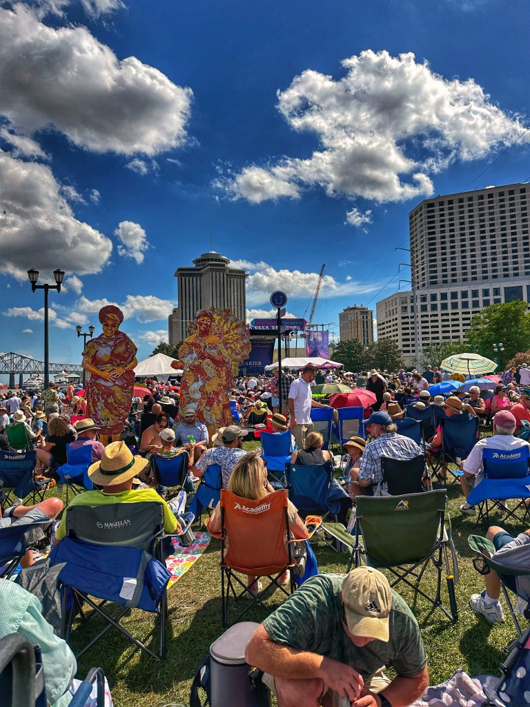
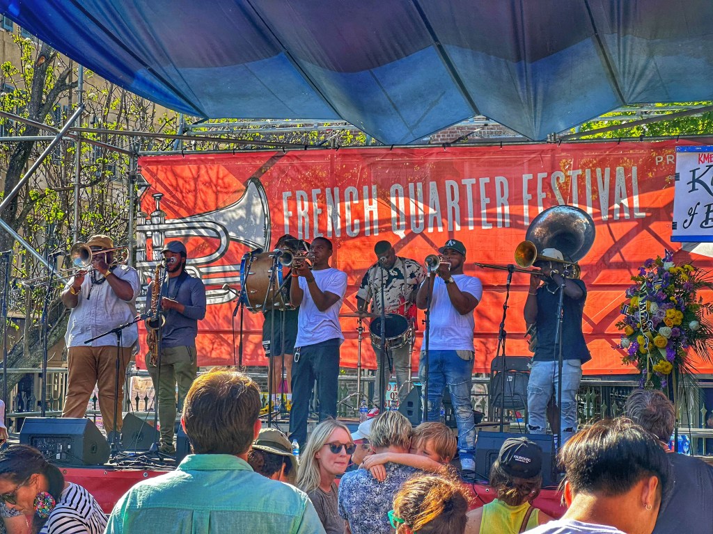
This was our second visit to the French Quarter Festival. The festival runs for four days and is free. Stages are set up throughout the Quarter and features a variety of local and regional talent. Good food and friendly people make for a fun time.
The Abita Stage, always well attendedThe Panorama Jazz Band The Kings of Brass
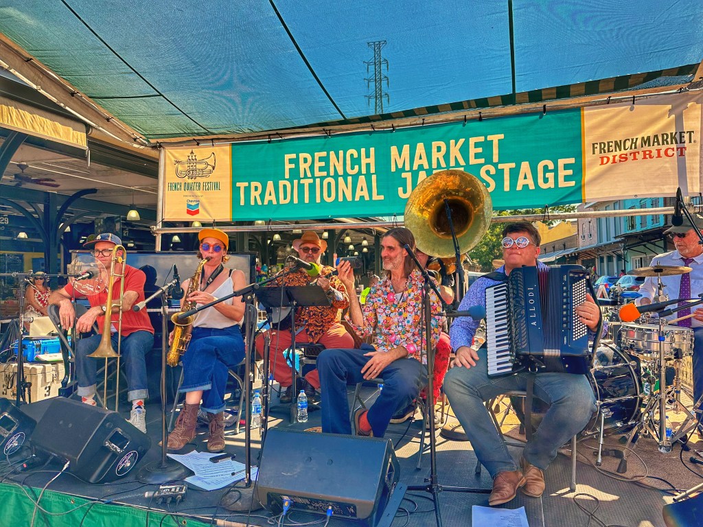
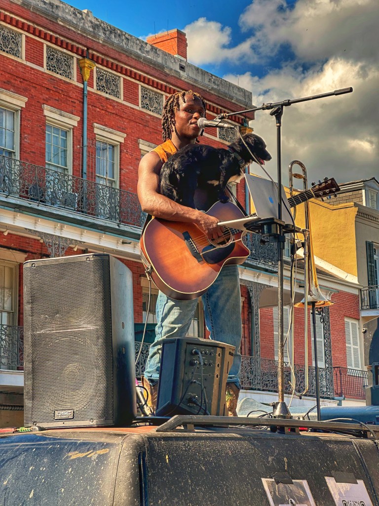
In addition to the formal stages there are plenty of street performers to entertain you as you wander the streets.
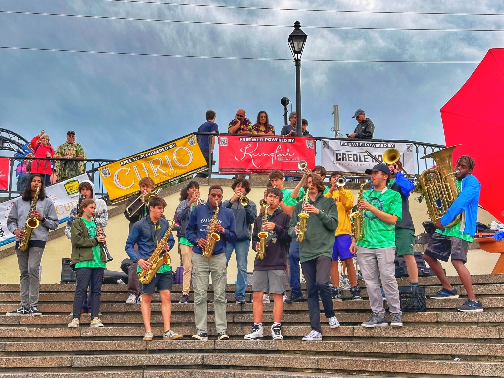
This group of high school musicians got together to busk @ the festival
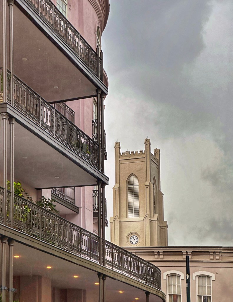
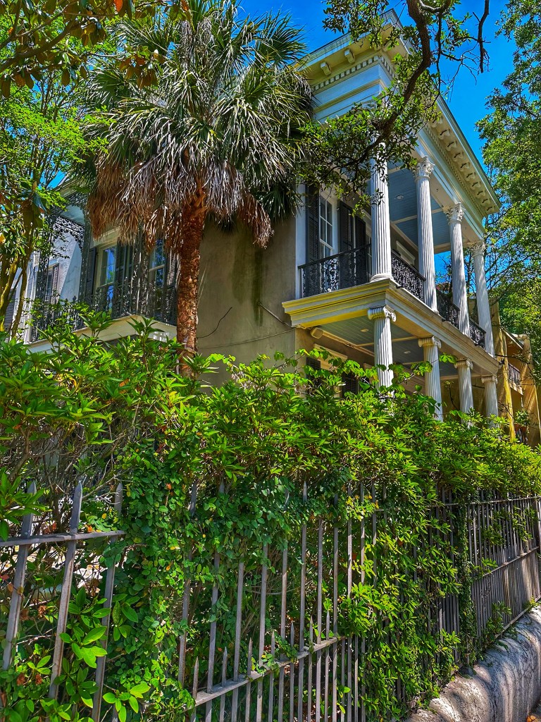
Wandering New Orleans is always a treat with lots of interesting architecture.
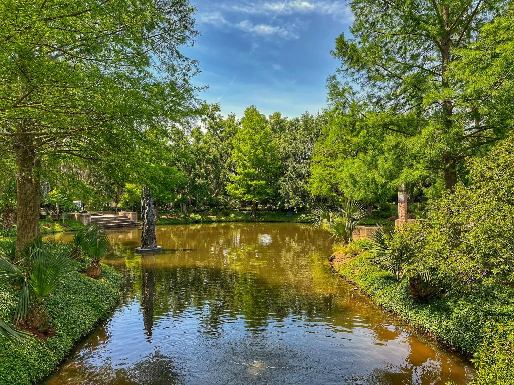
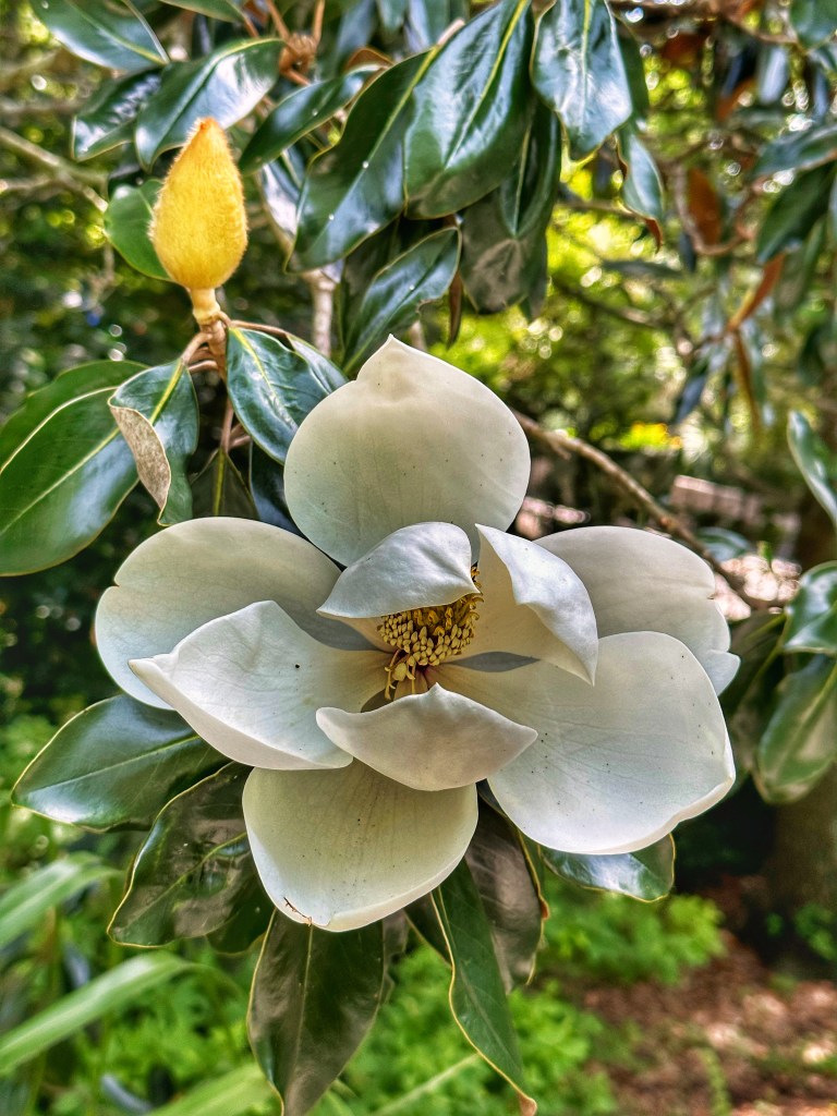
Whenever we visit New Orleans we make a point to visit the 1,300 acre City Park. The park is about 50% larger than Central Park in NYC and is home to the New Orleans Museum of Art (NOMA), a sculpture garden, a botanical garden and lots of open space.
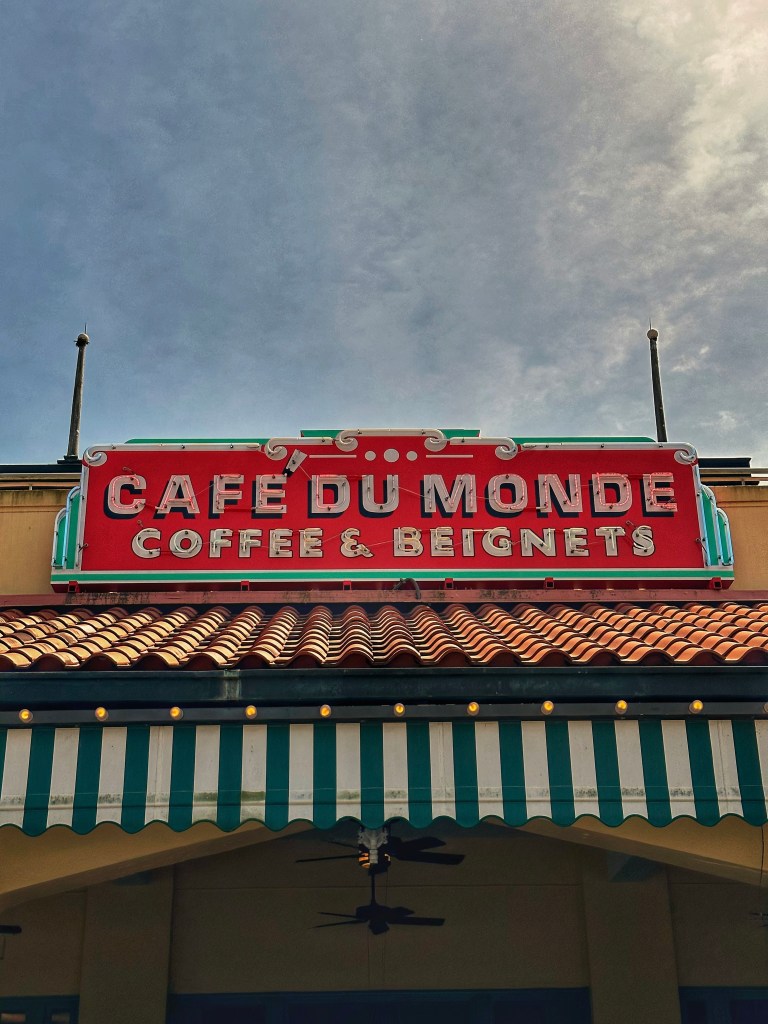
NOMAOne of Nick Cave’s Sound Suits at NOMAPart of the sculpture gardenThe Magnolia Trees were blossoming The park has our favorite coffee and beignet stop
New Orleans has lots of interesting neighborhoods to explore, the Bywater, Marigny, Treme, Irish Channel and the Garden District to name a few. With limited time we decided to wander the Garden District.
Lafayette Cemetery founded in 1833
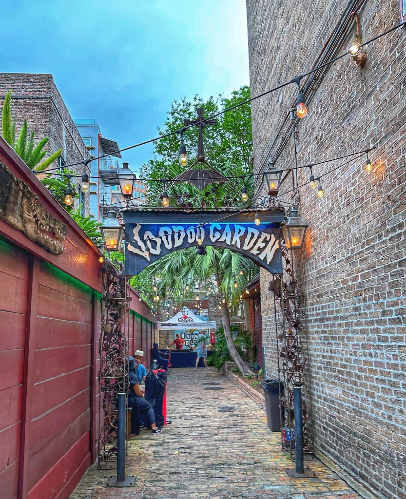
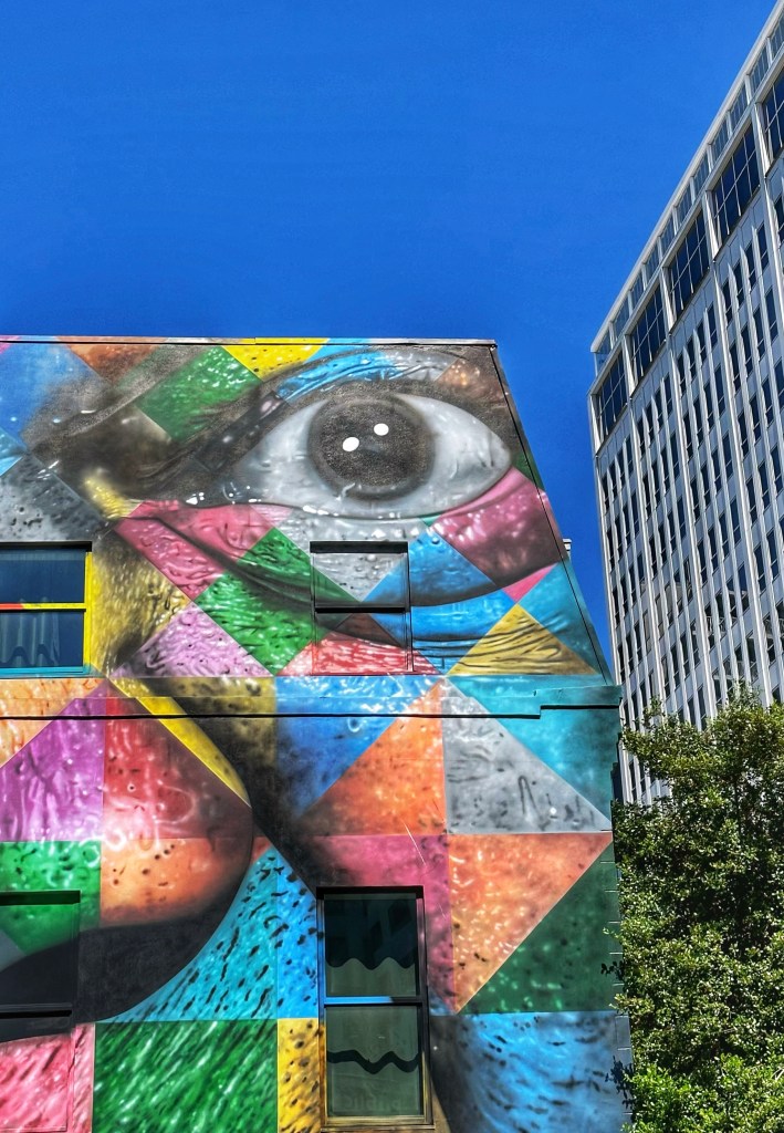
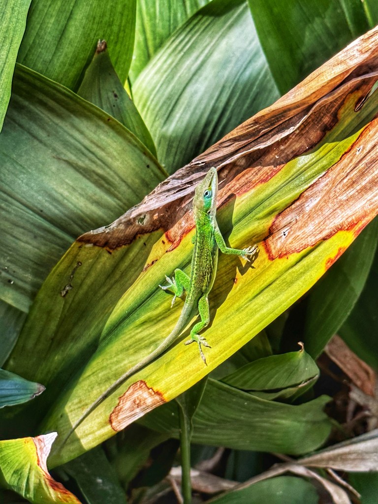
You never know what you’ll see as you wander NOLA.
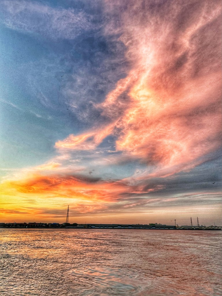
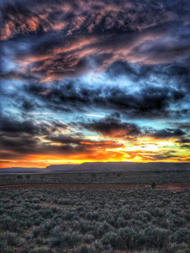
Sunset on the Mississippi River
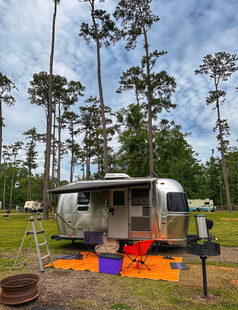
After the festival we moved our base of operations to the north shore of Lake Pontchartrain and Fairview River SP.
Site 29
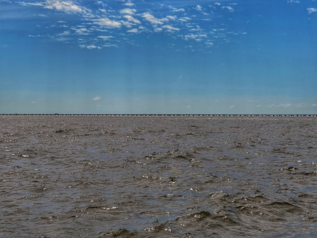
To get to the north shore of Lake Pontchartrain you have to travel the 24 mile causeway from New Orleans.
It’s a big lake
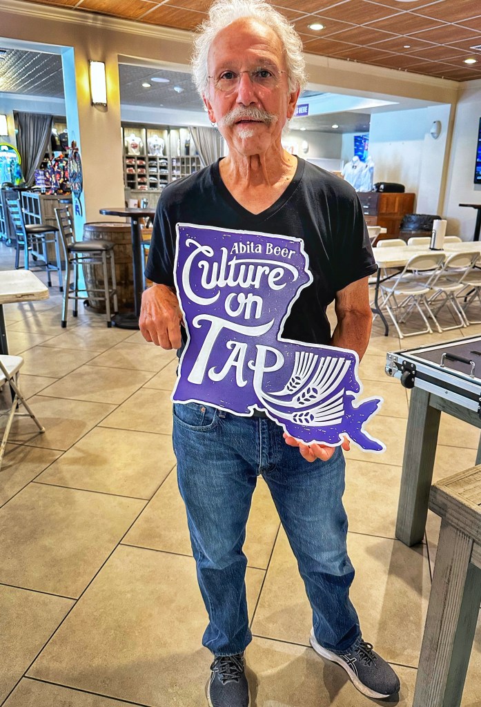
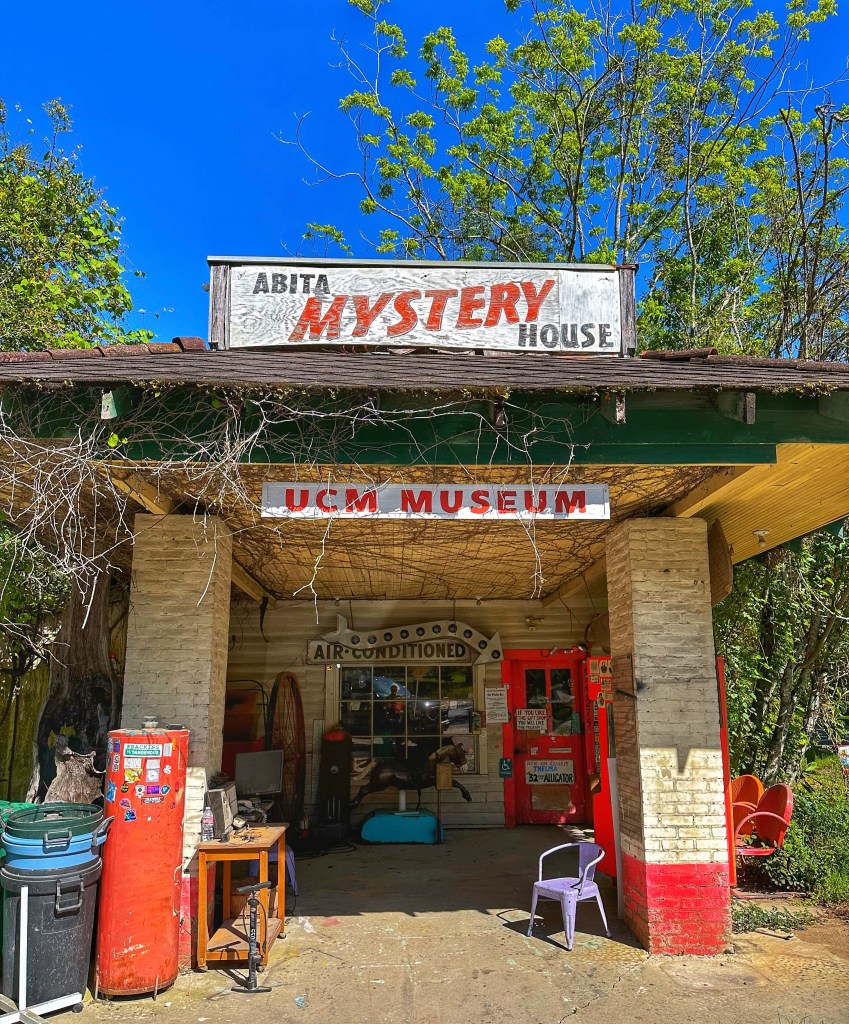
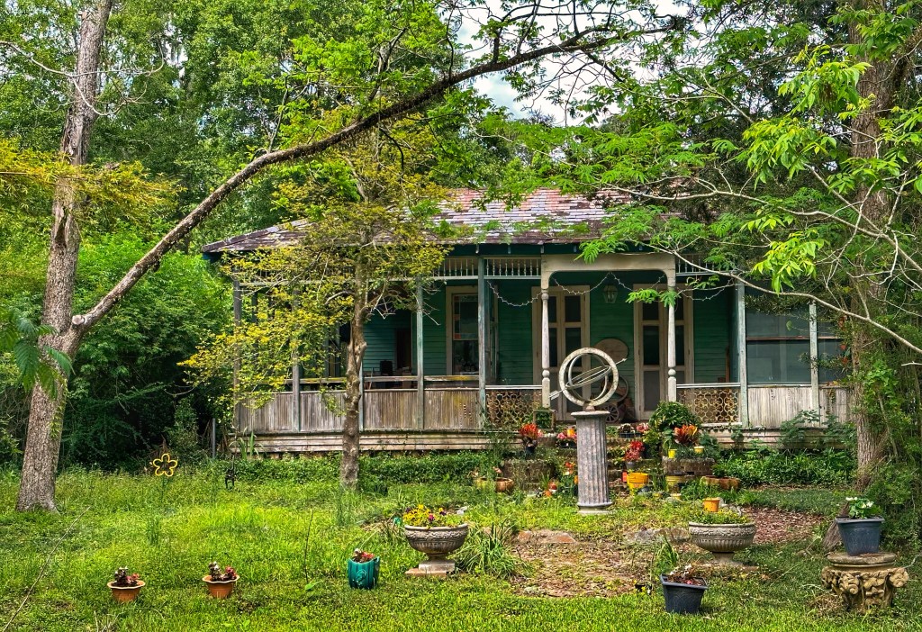
Situated along the north shore of the lake are a number of small towns that we wanted to check out. Abita Springs, home to Abita brewing was one of them.
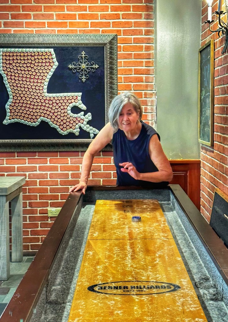
Pat’s winning shuffle board form A hoarder’s delight
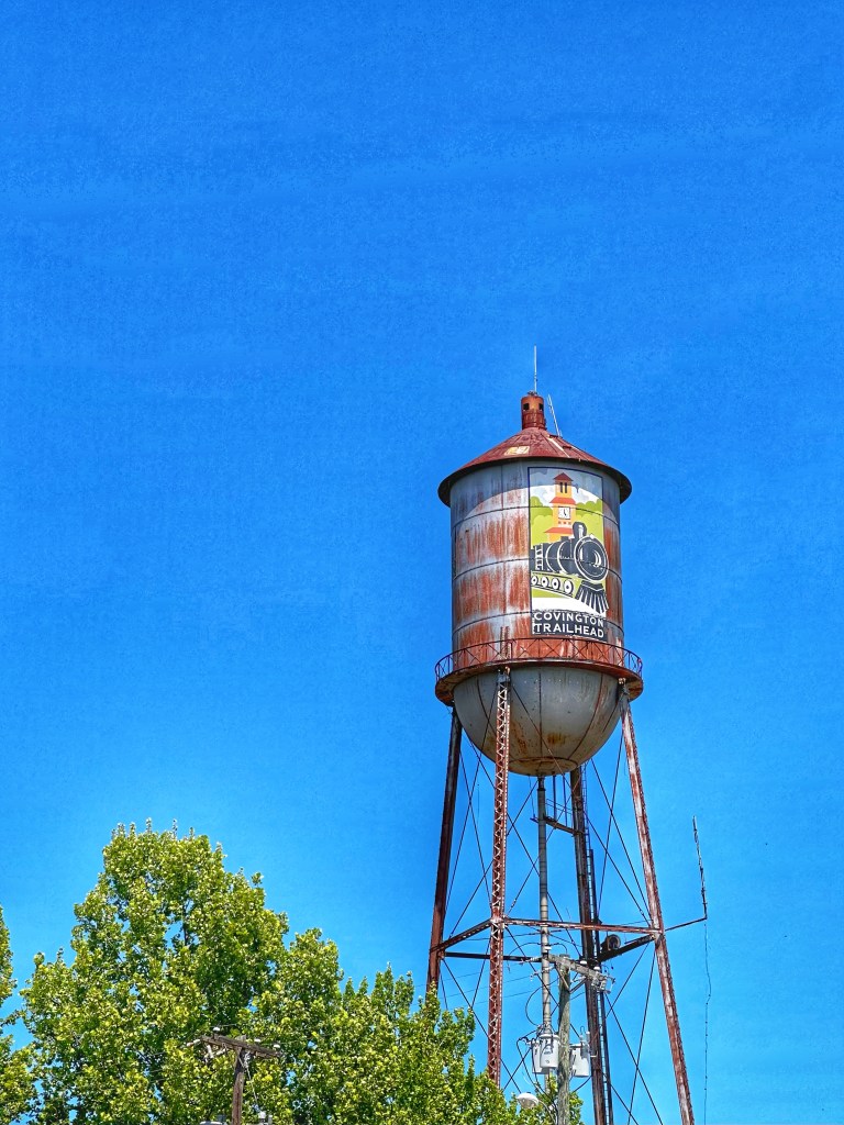
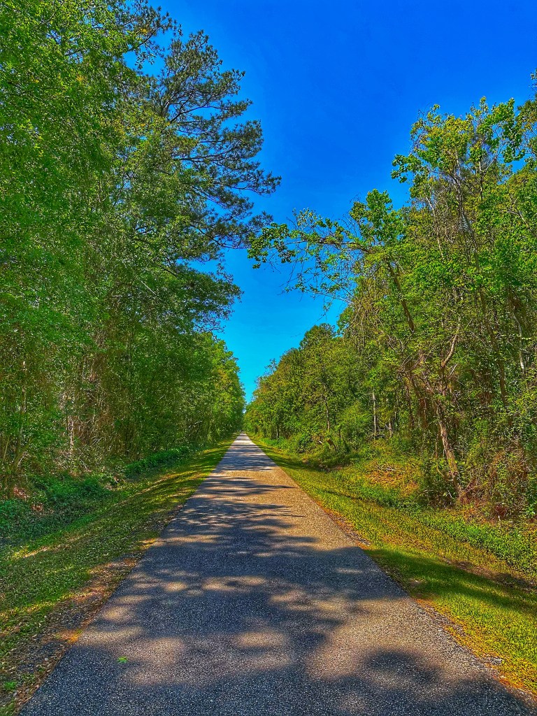
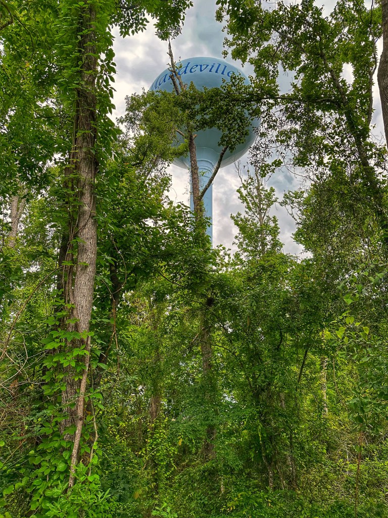
Connecting many of the north shore towns is the 31 mile Tammany Trace asphalt bike path. We road a section in Covington and Mandeville.
Along the Trace in Mandeville
We’ve reached the point in our trip where it’s time to start heading north. The trip home won’t be rushed, we still have some new locales to explore.
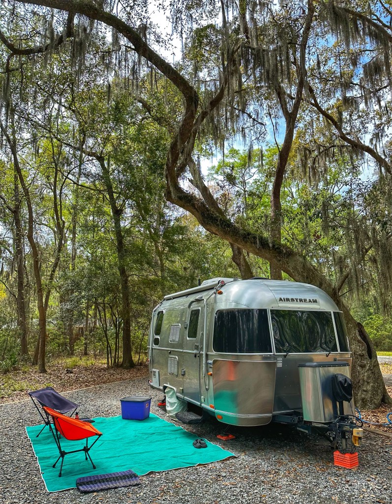
Some of the finest state campgrounds we’ve found are located in Georgia. However, Skidaway Island State Park is our favorite. It’s a beautiful spot located in a live oak hammock and surrounded by tidal salt marshes.
Site 6
Part of the park’s appeal is its proximity to downtown Savannah. We were here last October but didn’t spend much time in the city. The park’s natural beauty kept us close to home.
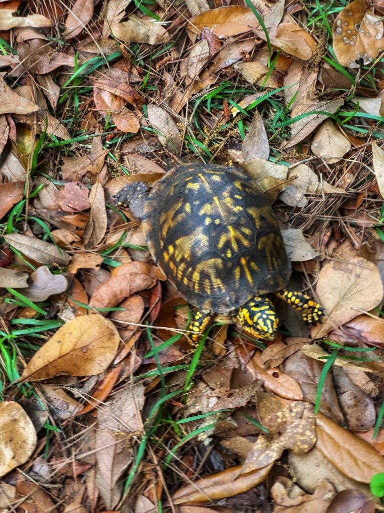
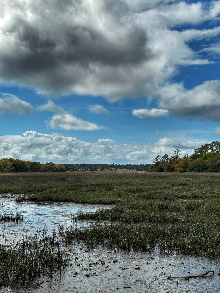
Ornate Box Turtle as seen while biking Salt Marsh
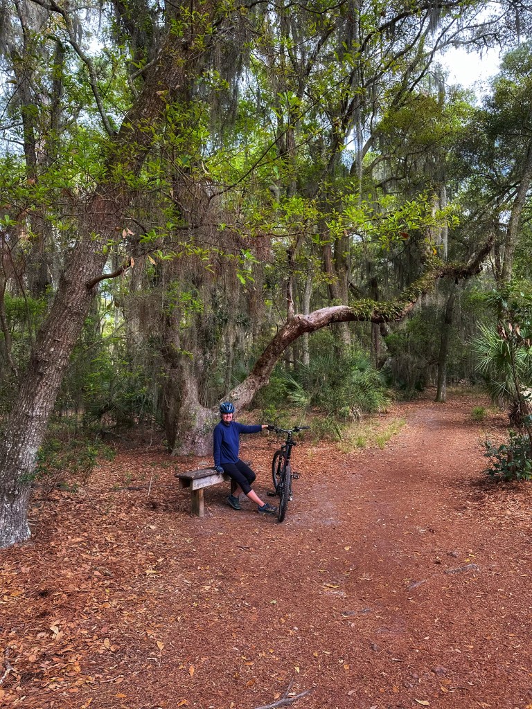
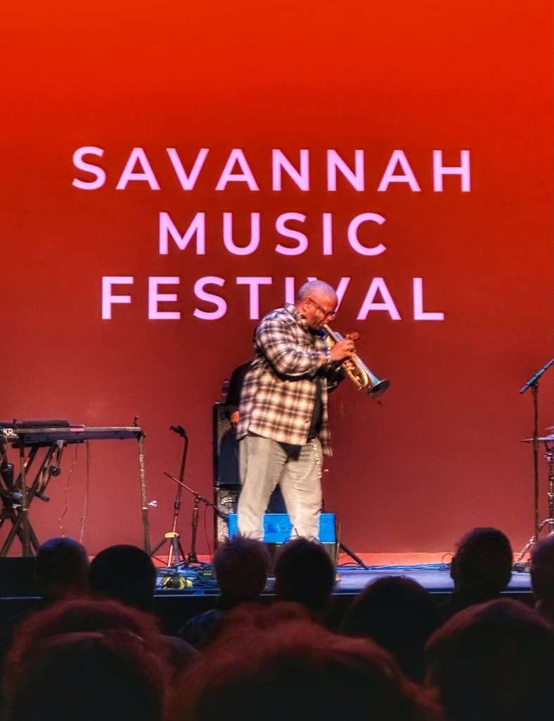
We love biking and hiking the park trails and just relaxing around camp. That’s basically what we did during our last visit. This time we timed our stop to coincide with the Savannah Music Festival. The plan is to spend more time in the city attending concerts.
The Metal Building at the Trustees Garden
The festival venues are spread around the city. This year saw the addition of two new performance spaces, The Trustees Garden (a large outdoor space) and The Metal building. Our first show happened here.
Christian Sands High Wire Trio
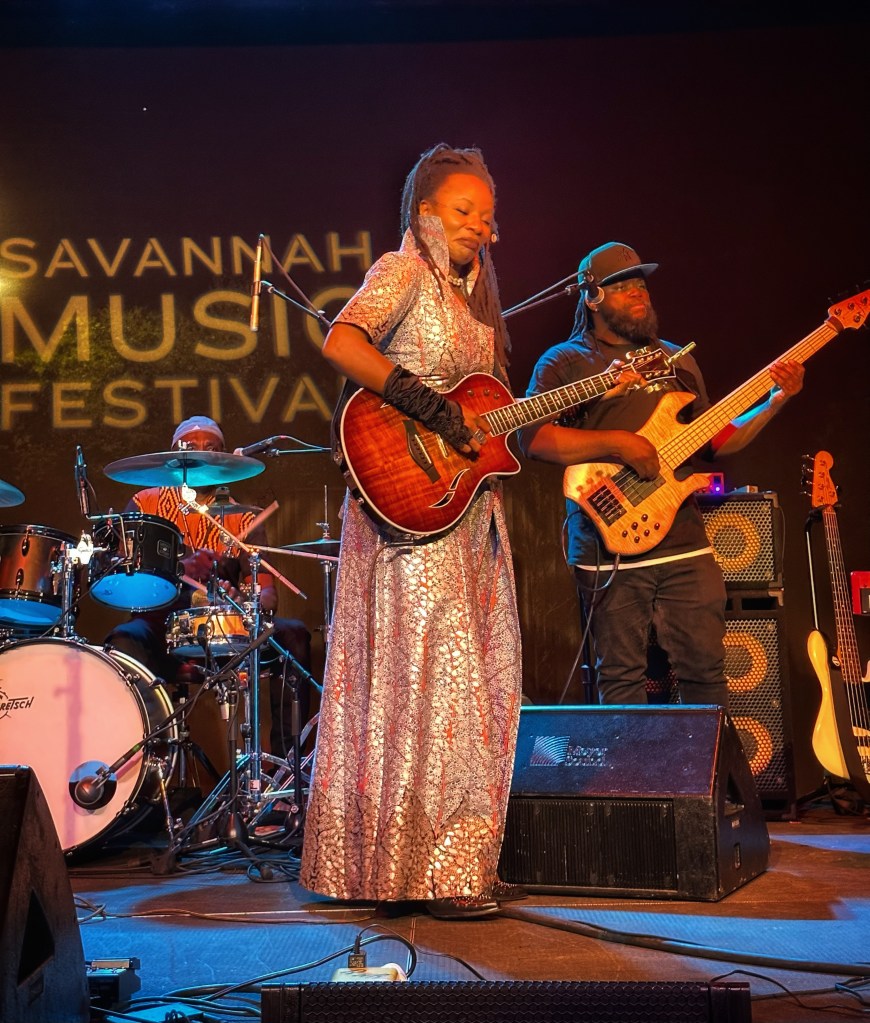
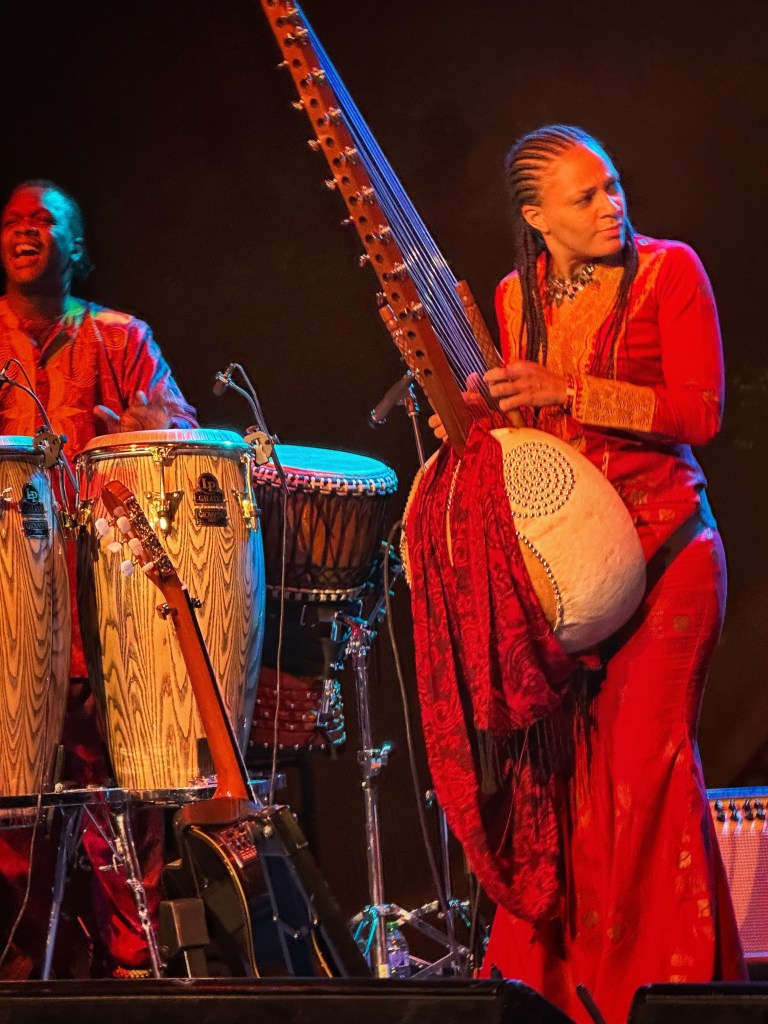
The festival does not focus on one style of music, it’s motto is “A world of music. One city.” We took the opportunity to enjoy some bands from Africa.
Natu Camara from GuineaSoba Jobarteh from Gambia
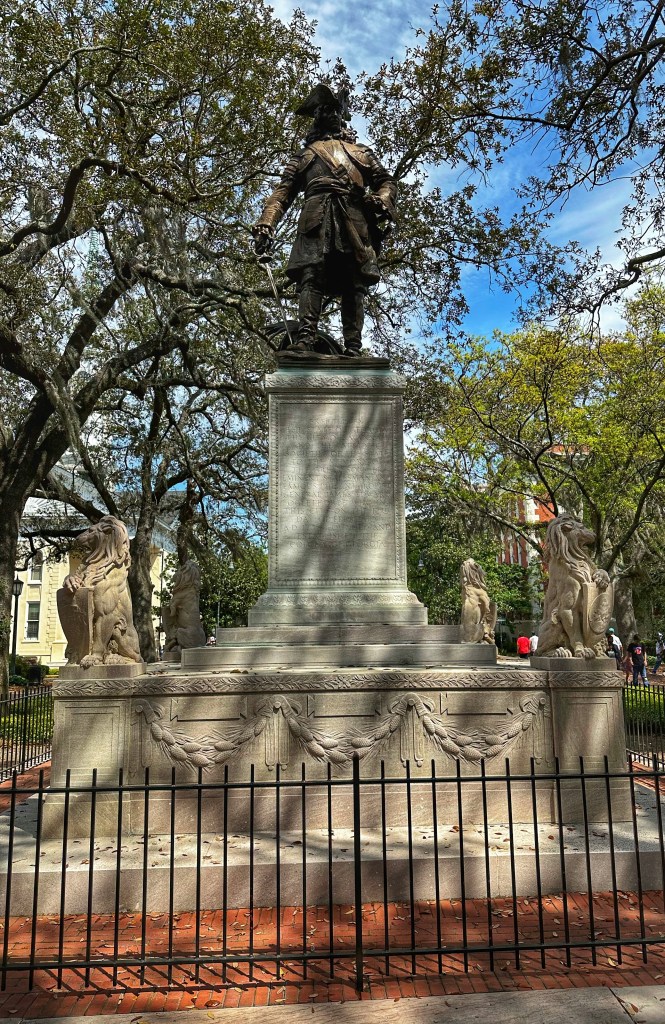
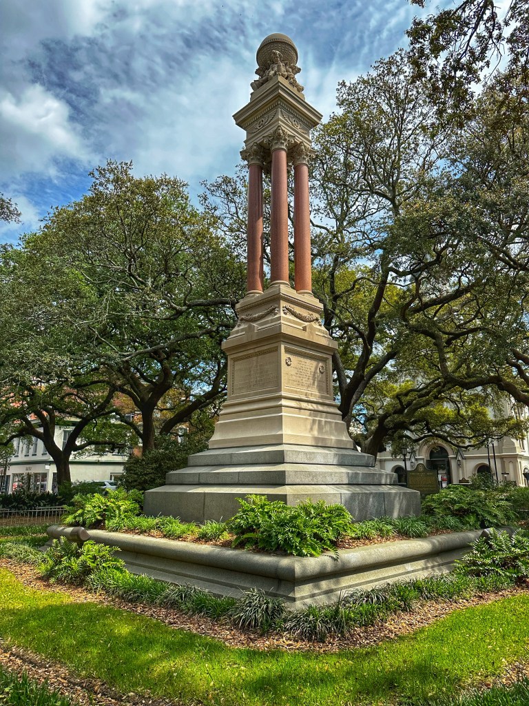
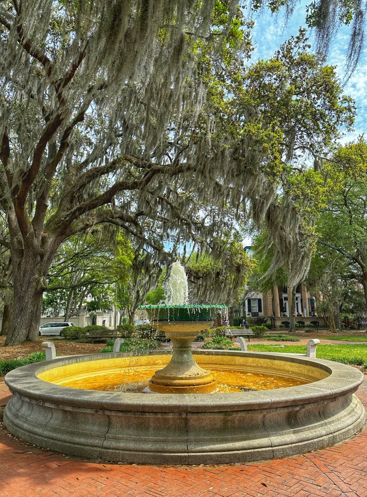
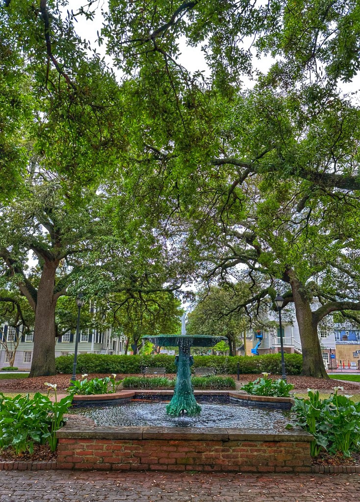
James Edward Oglethorpe established the city of Savannah in 1733. Oglethorpe planned the city around a series of squares with streets laid out in a grid. Each square had a small community of colonists living around it. Originally six squares were set up and grew to twenty four squares. Today, Savannah includes twenty two of those original squares.
Oglethorpe statue in Chippewa SquareWright Square German Memorial Fountain in Orleans Square Columbia Square
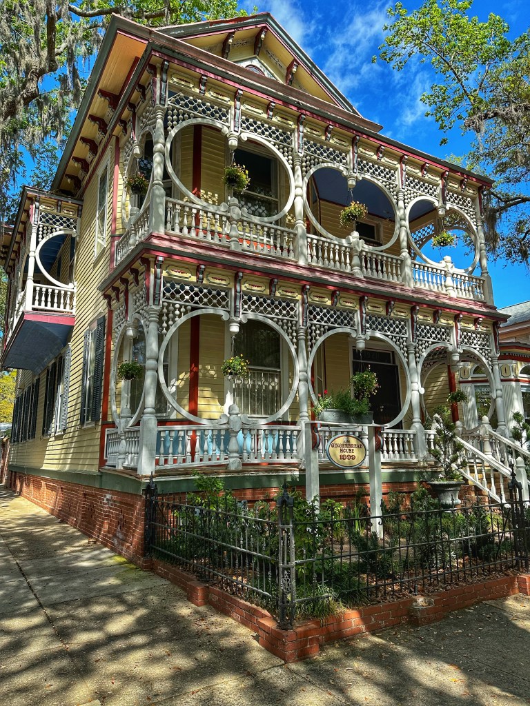
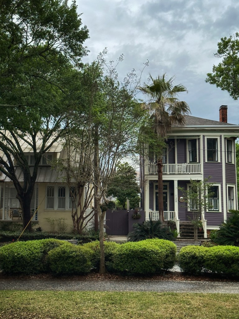
Savannah is a beautiful city that’s a joy to wander around in.
The Gingerbread House on Bull Street
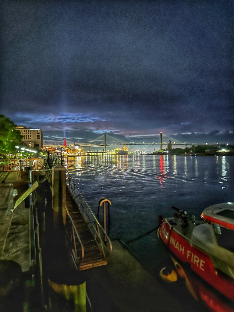
Savannah is a port city that was vital in supplying Confederate troops during the Civil War. When General Sherman rolled through Georgia he left a path of destruction. However, when he got to Savannah he spared the city. Sparing the city allowed the Union army to use the port to supply its troops and deprive the Confederates of supplies.
Evening on the Savannah River
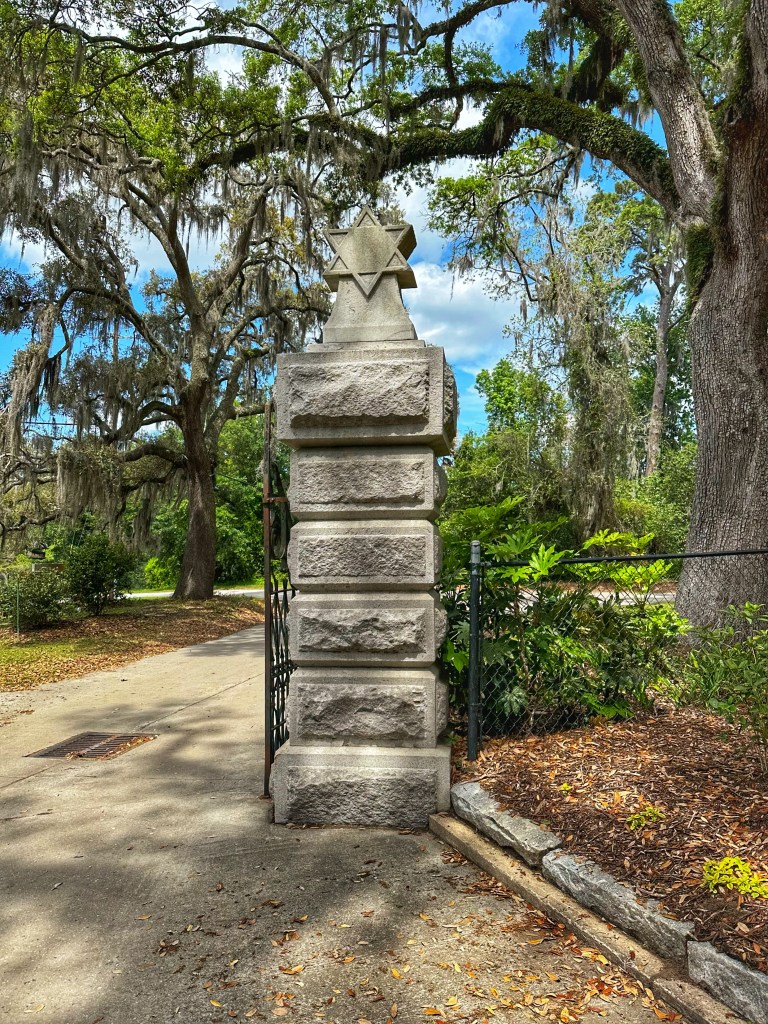
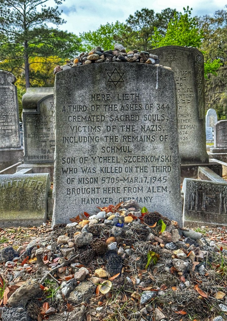
We’ve been lucky to have been able to visit Savannah on numerous occasions. While we enjoy revisiting favorite places we are always looking to find new spots. This trip we decided to checkout Savannah’s famous Bonaventure Cemetery where some of Savannah’s early residents are buried.
Bonaventure’s Jewish Gate
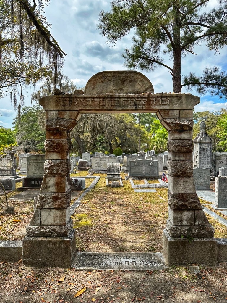
Oglethorpe’s original charter forbade slavery and guaranteed religious freedom in the colony. As a result many Jews elected to join the colony resulting in a Jewish section in the cemetery.
The cemetery’s Holocaust Memorial
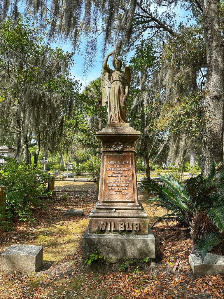
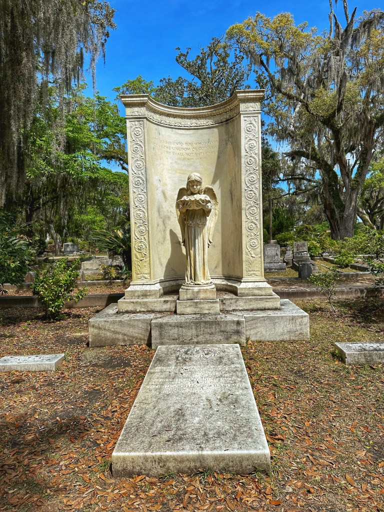
There’s also plenty of southern Gothic beauty to be found in the cemetery.
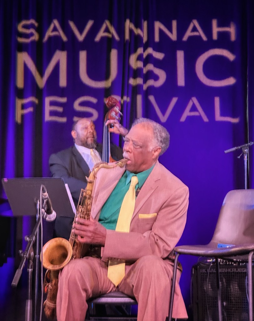
In between our explorations we are still attending music festival performances.
Eighty eight year old Houston Person bringing itCharles McPherson Quintet featuring Sean JonesTerence Blanchard with the E-Collective and Turtle Island Quartet
One of the perks of camping in a Georgia State Park is free admission to any other state park. We decided to travel south to Fort McAllistar for a hike on the Redbird Trail.
A lot of AmericanHistory has occurred in and around Savannah. From colonial times, Revolutionary War, Civil War and the Civil Rights era history happened here.
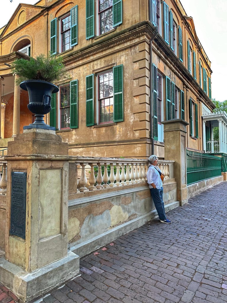
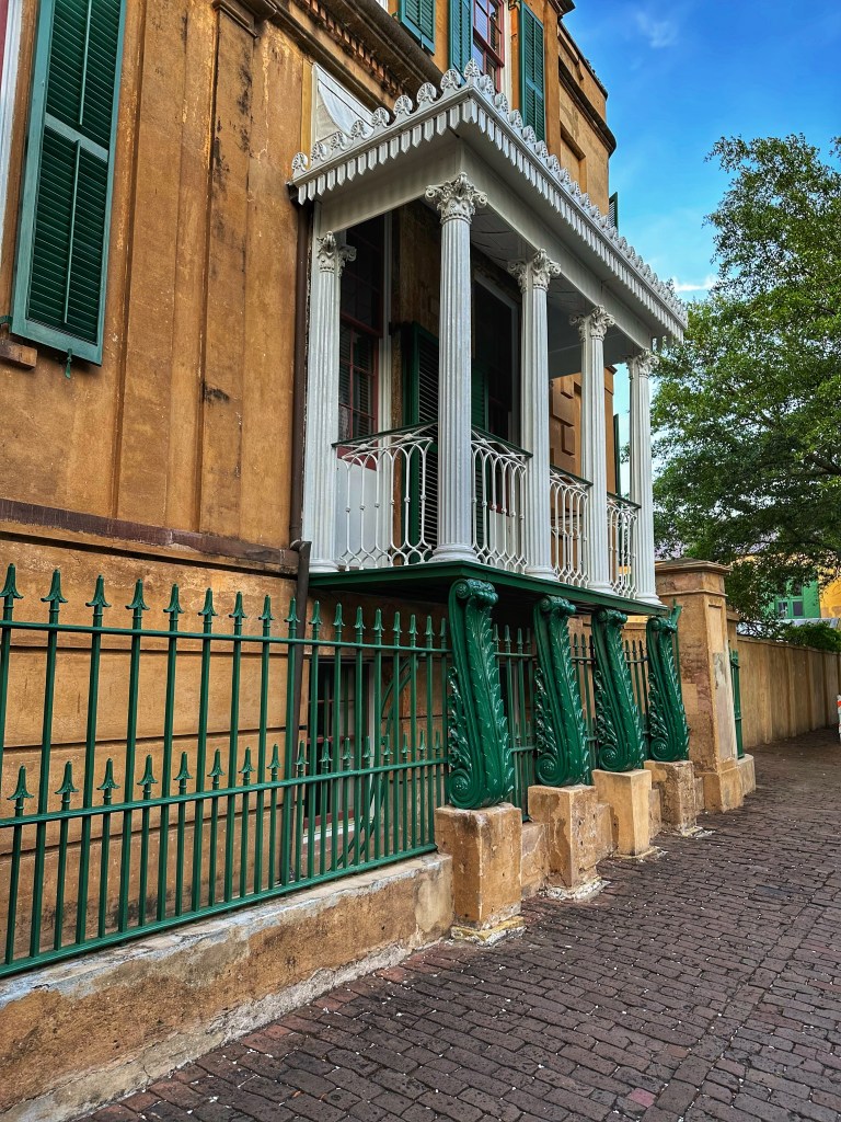
This is the Owens-Thomas house designed by William Jay and built between 1816 and 1819. General Lafayette stayed here a as a guest of the city in 1825 and addressed the residents of Savannah from the south balcony. The south balcony
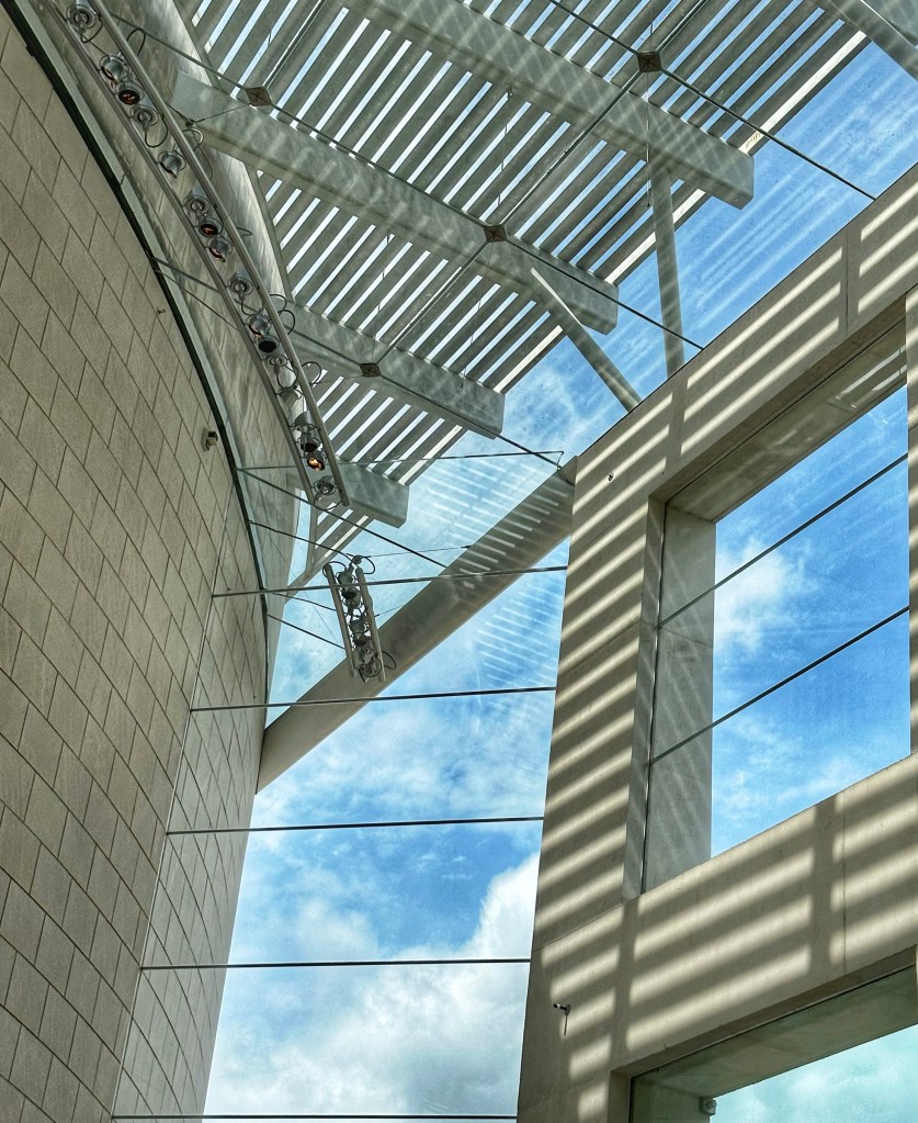
Savannah is also home to a number of Art Galleries. Two of our favorites are the Jepson Center of the Arts and the SCAD Museum of Art.
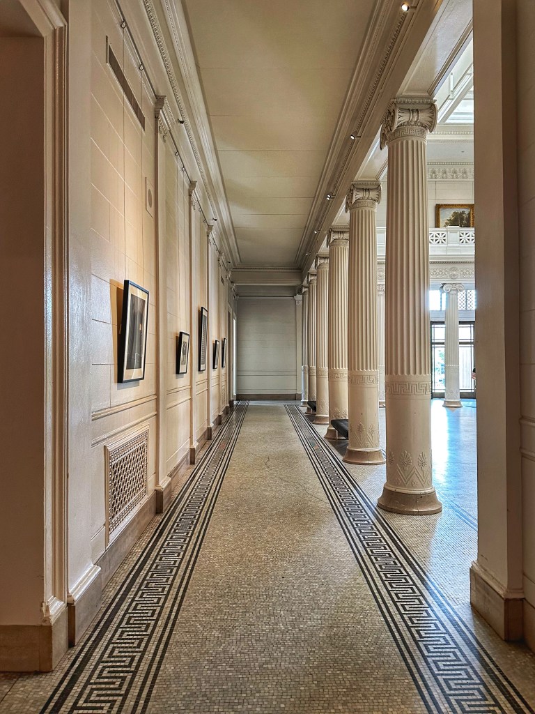
The atrium at the Jepson
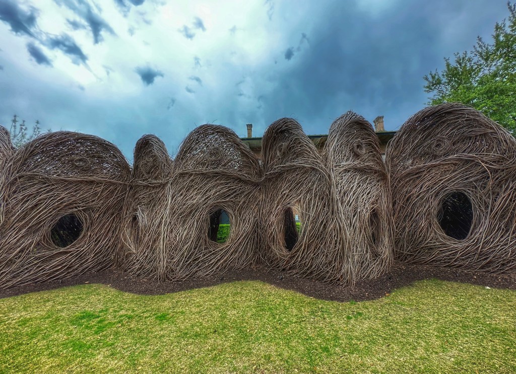
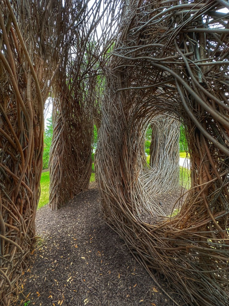
The Savannah College of Art and Design has a large presence in Savannah. They have been active in preserving historic architecture throughout the city. The SCAD museum is housed in a former train station which makes for an interesting exhibition space.
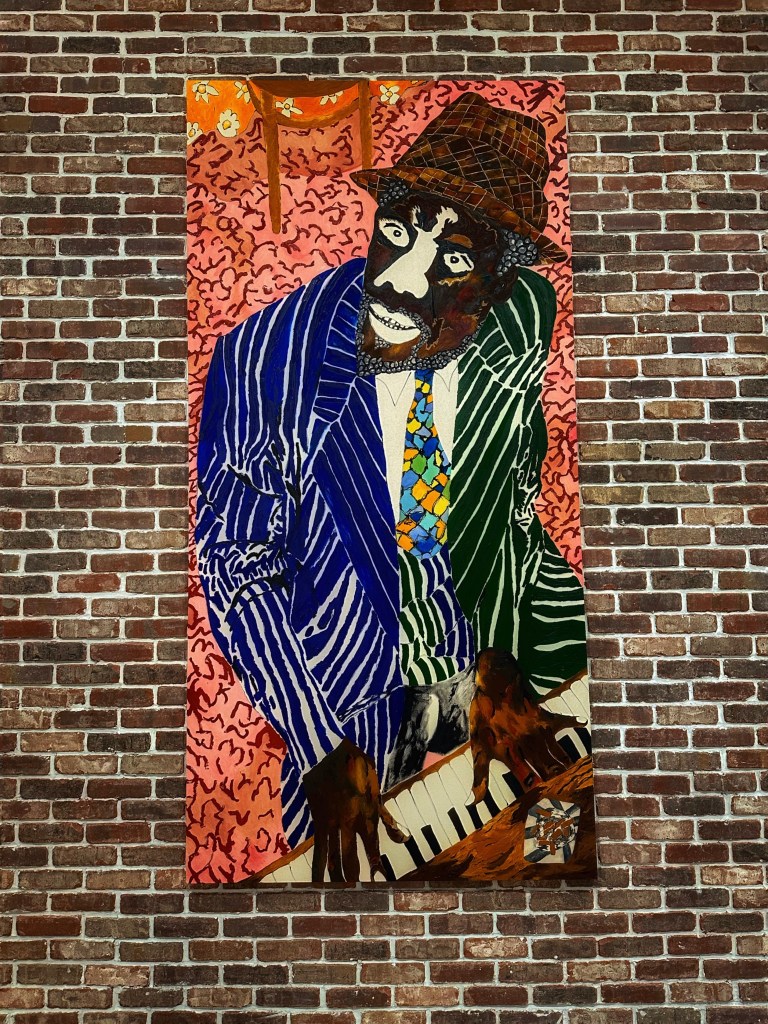
Patrick Dougherty’s “Making the Birds Proud”, 2021Chase Hall’s “Thelonius“, 2018-2019
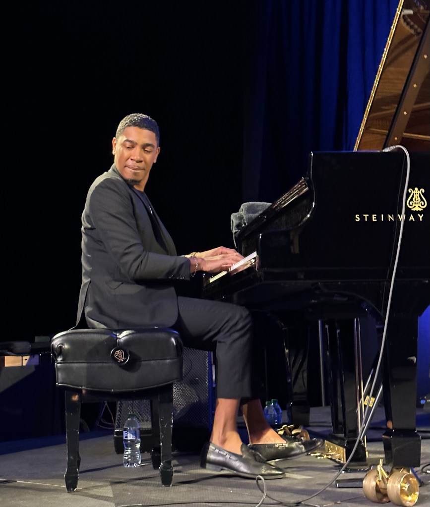
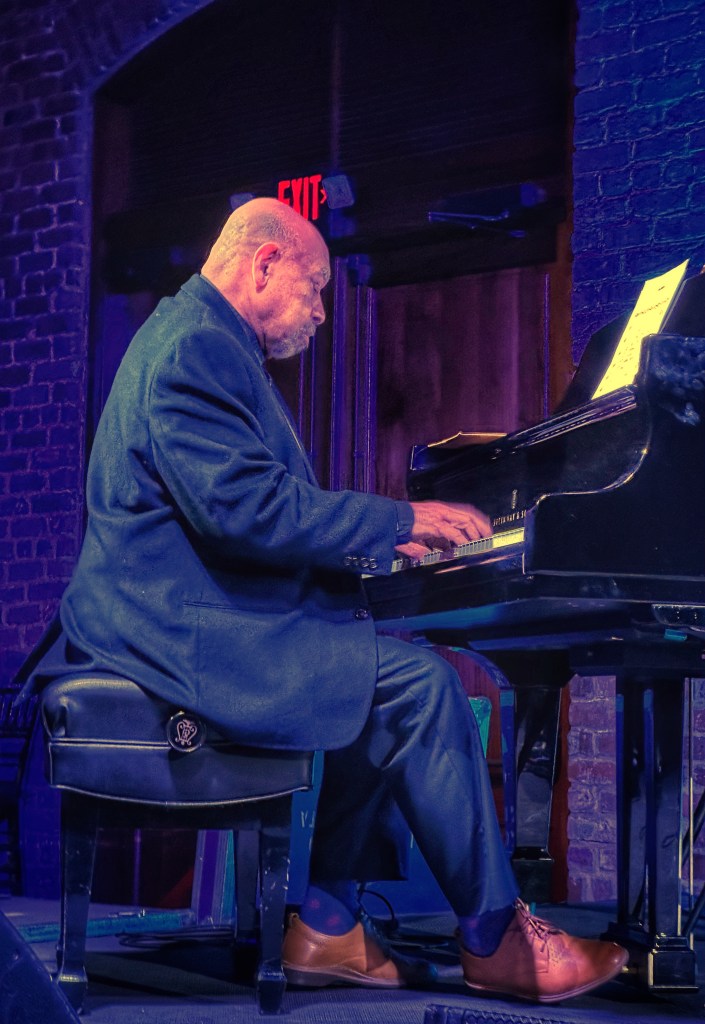
Savannah is a uniquely beautiful city and that alone is a reason for a visit. As avid music lovers, having a great music festival was added incentive to stop by for a visit. When we realized one of our favorite piano jazz trios was part of the festival we booked our trip and bought concert tickets.
Kenny BarronDave HollandJohnathan Blake
We’ve had a a wonderful stay in Savannah but it’s time to start heading west to New Orleans.
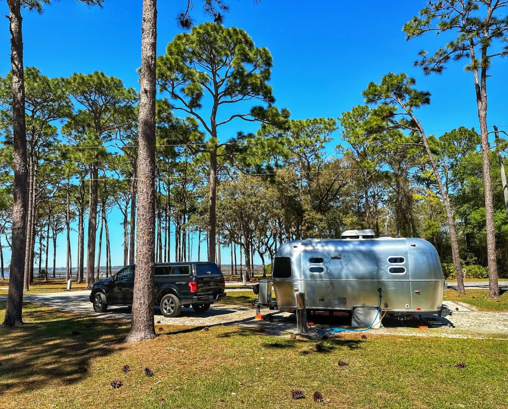
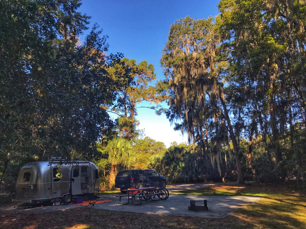
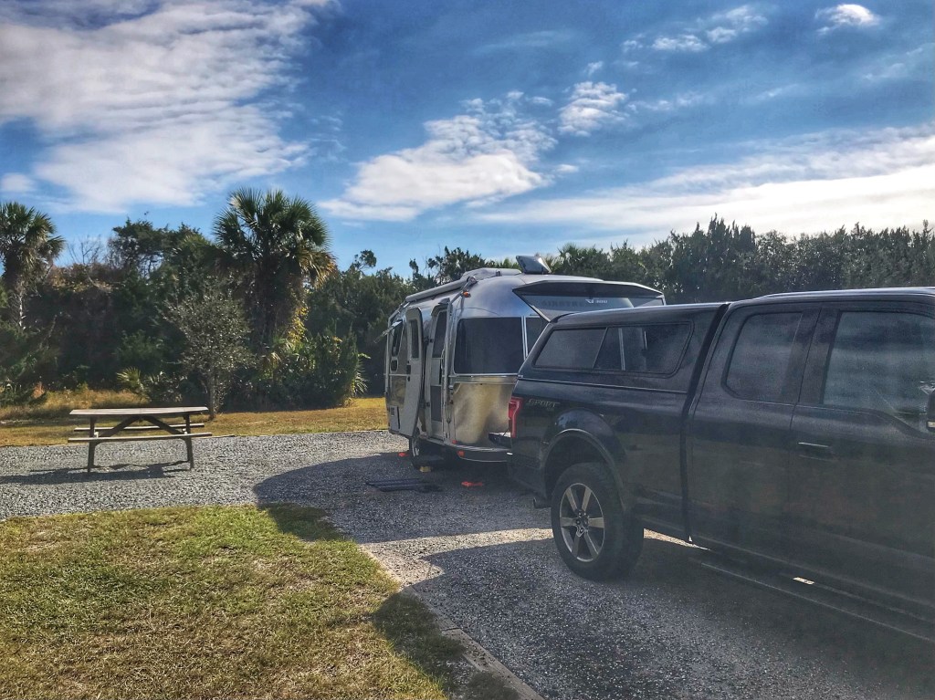
Some medical issues pushed back our southbound departure by an unexpected two months. As a result we got to experience Buffalo’s Christmas Blizzard. Very memorable. When we finally did set out, it was to the beat of Canned Heat’s “On The Road Again”. We headed south to central Florida to be reunited with the Tincan. It was waiting patiently for us at Pat’s brother and sister-in-law’s house. After some family time we drove north to Crooked River SP in St. Mary’s, Georgia.
Site 9
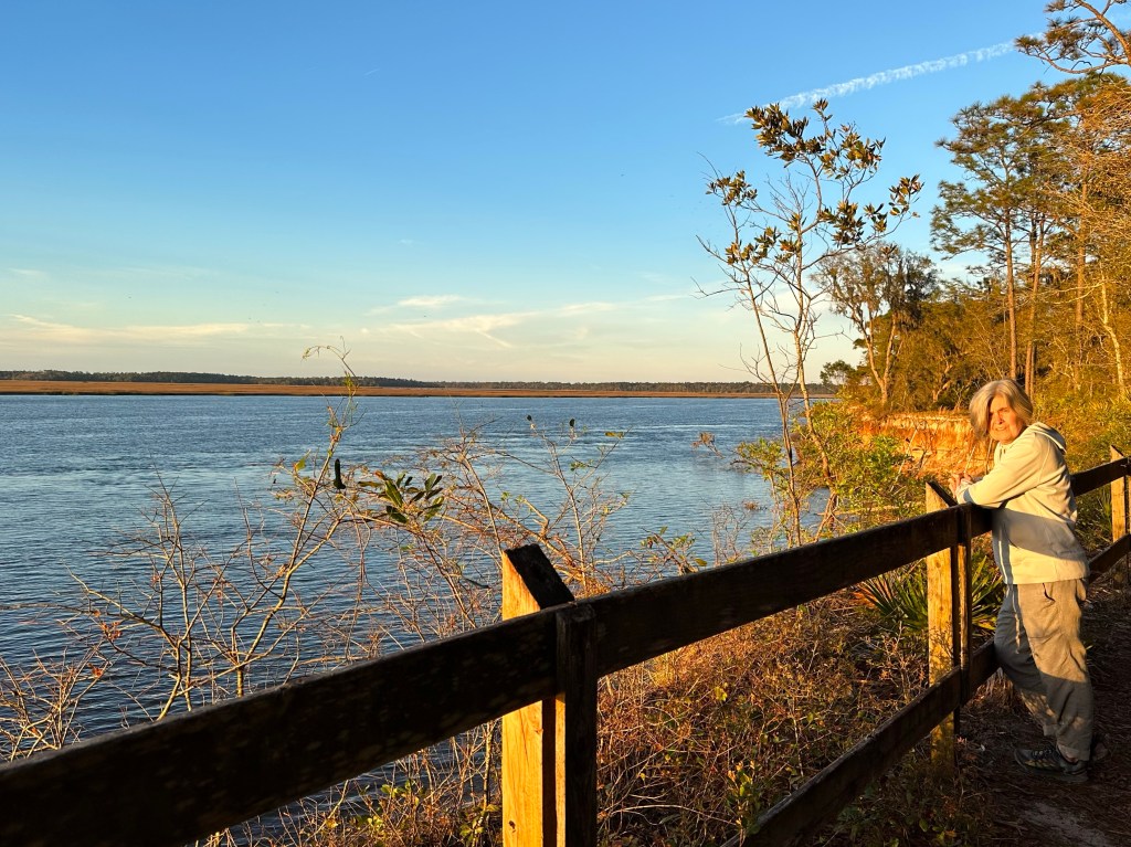
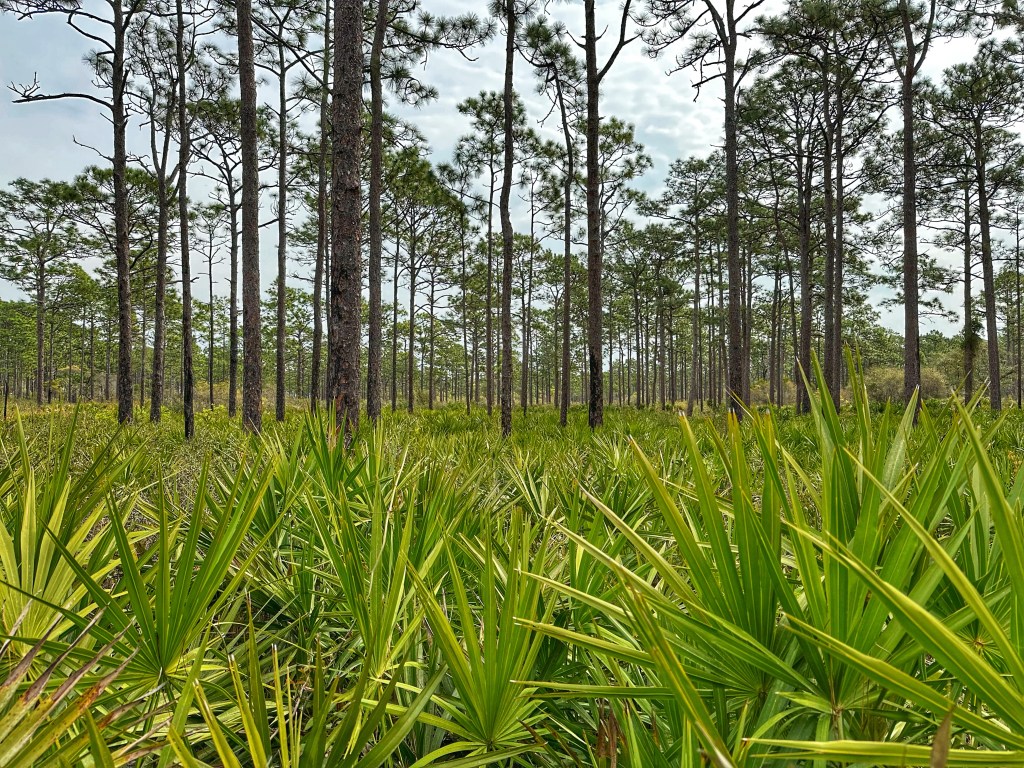
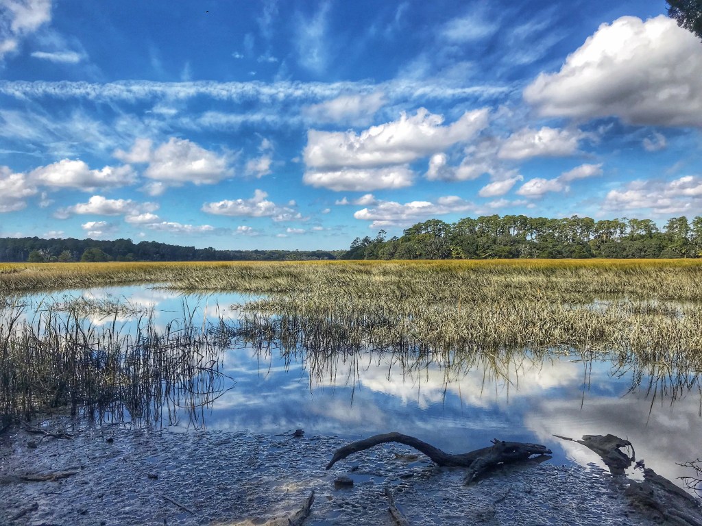
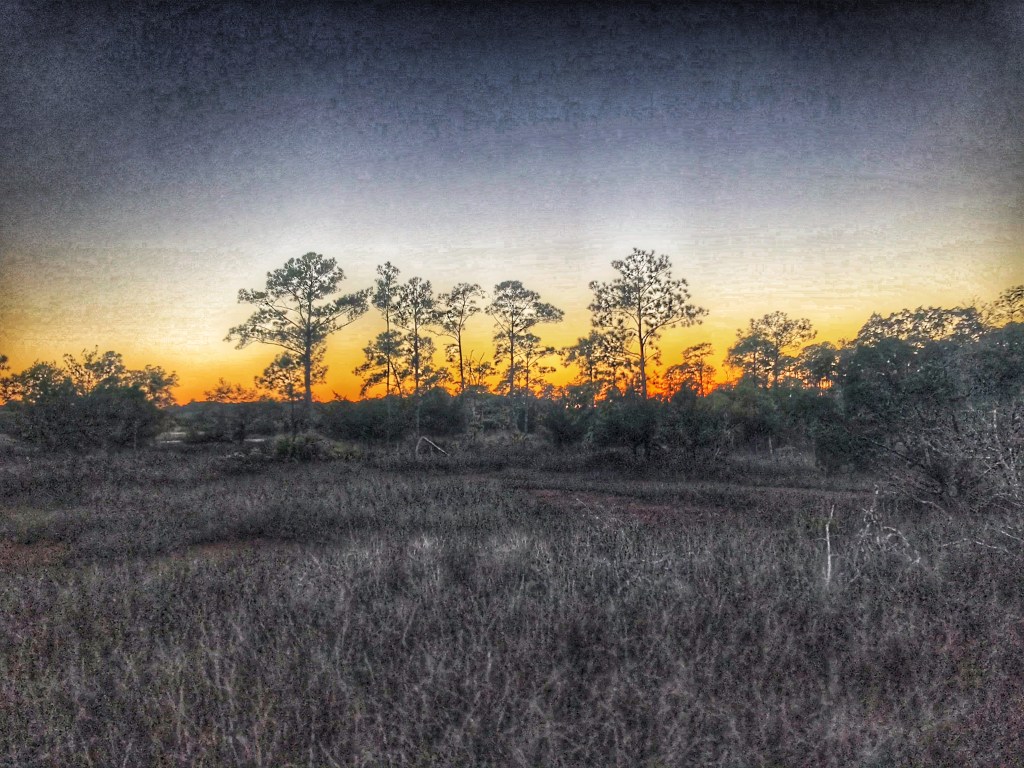
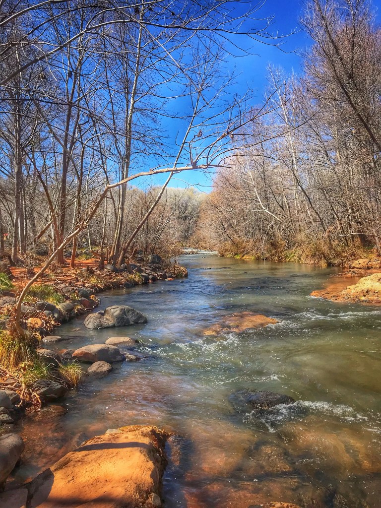
Our site was surrounded by Long Leaf Pines and gave us a view of St. Mary’s River (THE CROOKED RIVER).
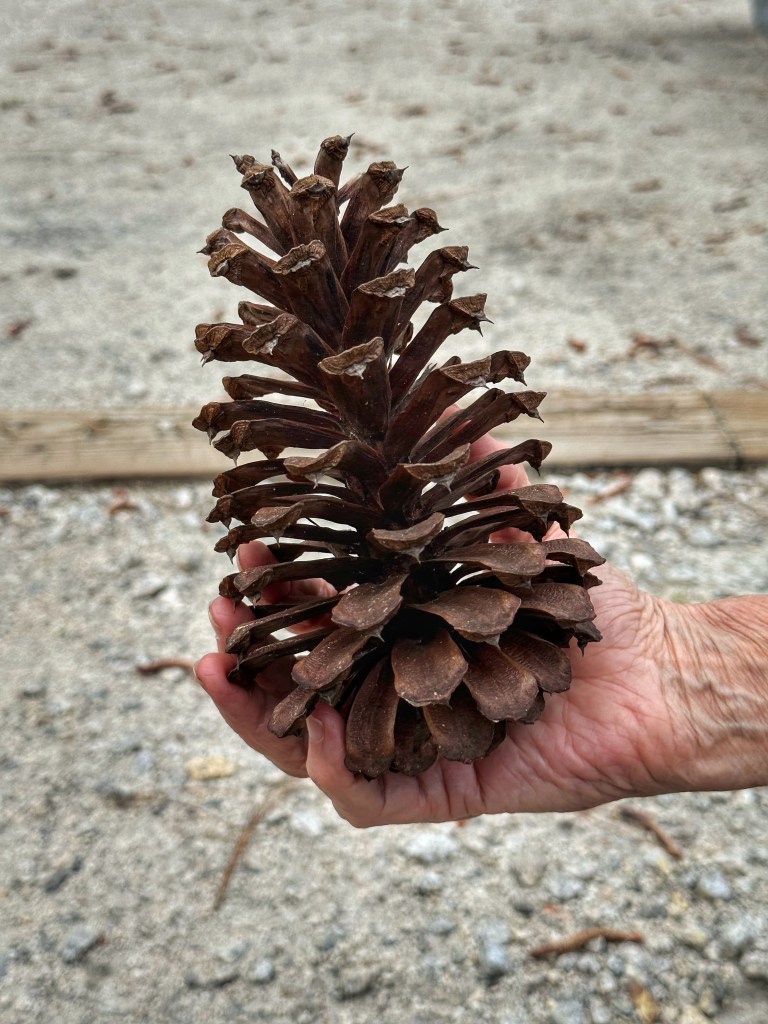
Those Long Leaf Pines produce large pine cones
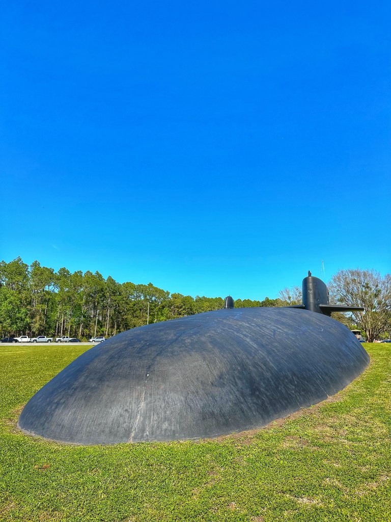
The campground is just down the road from the King’s Bay Naval Submarine Base. Based on the traffic in and out of the base it must be a major employer in this largely rural part of Georgia.
The USS George Bancroft partially buried near the main gate of the base
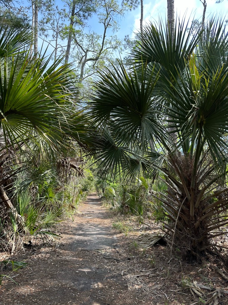
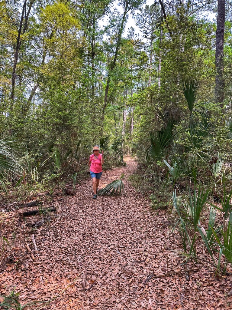
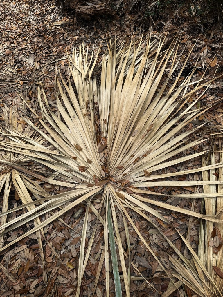
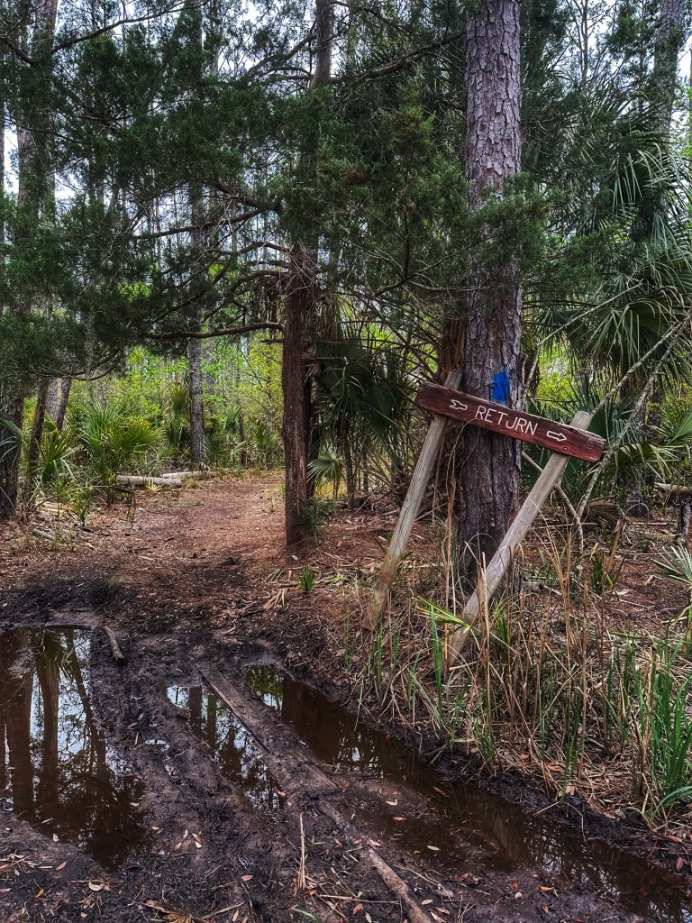
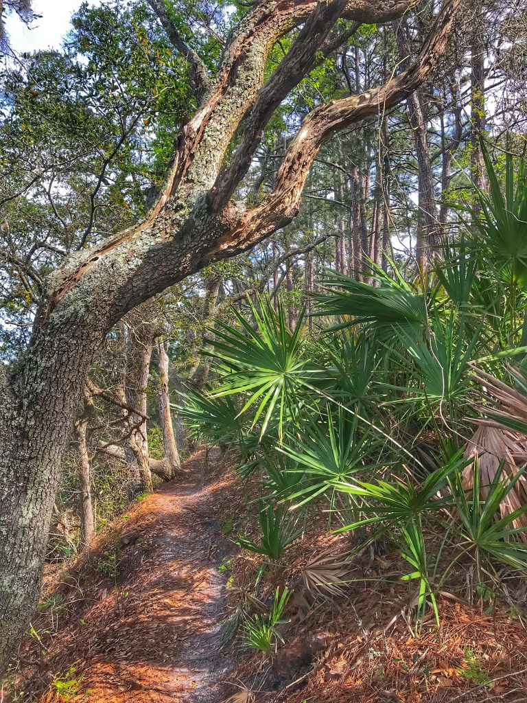
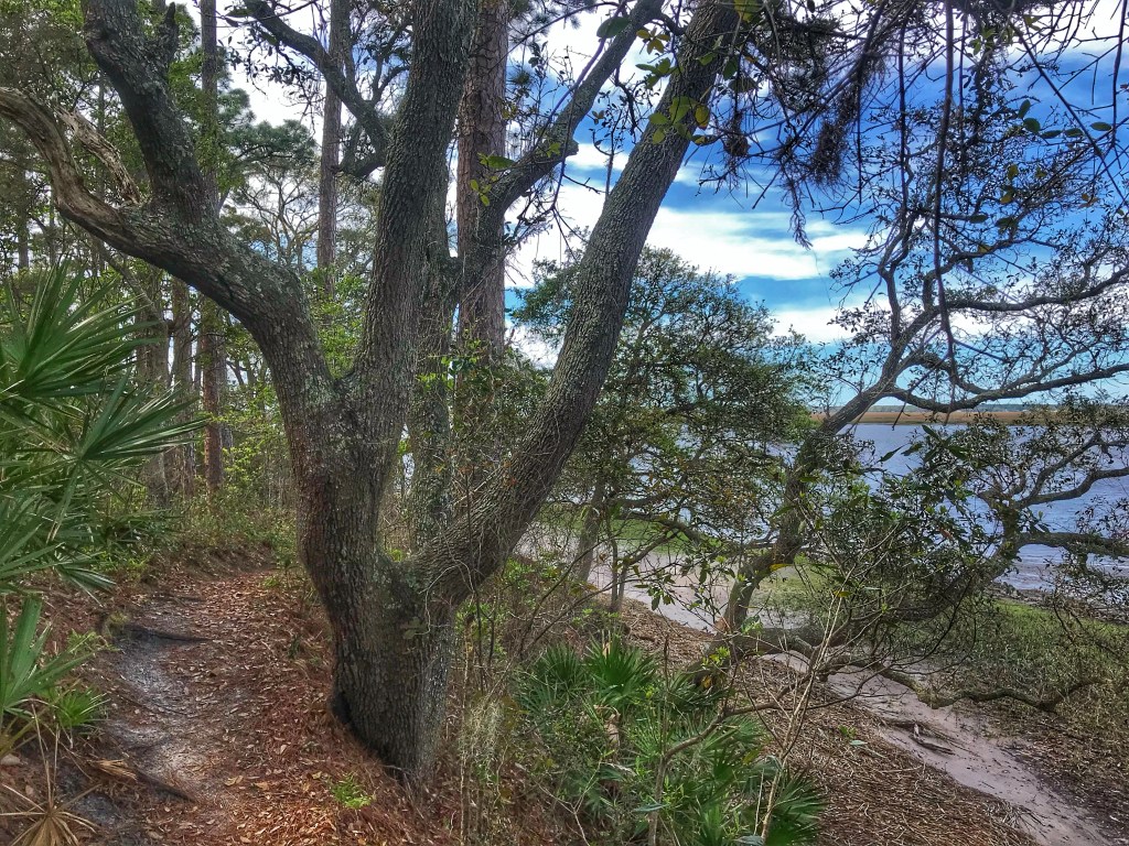
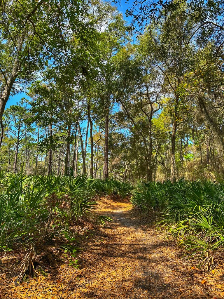
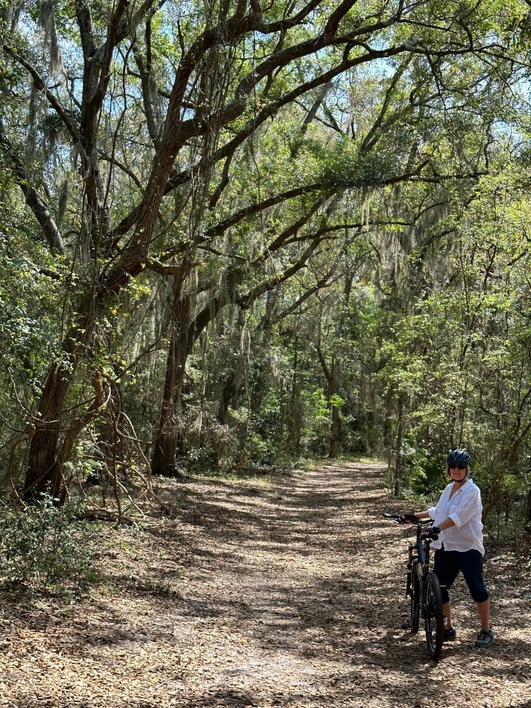
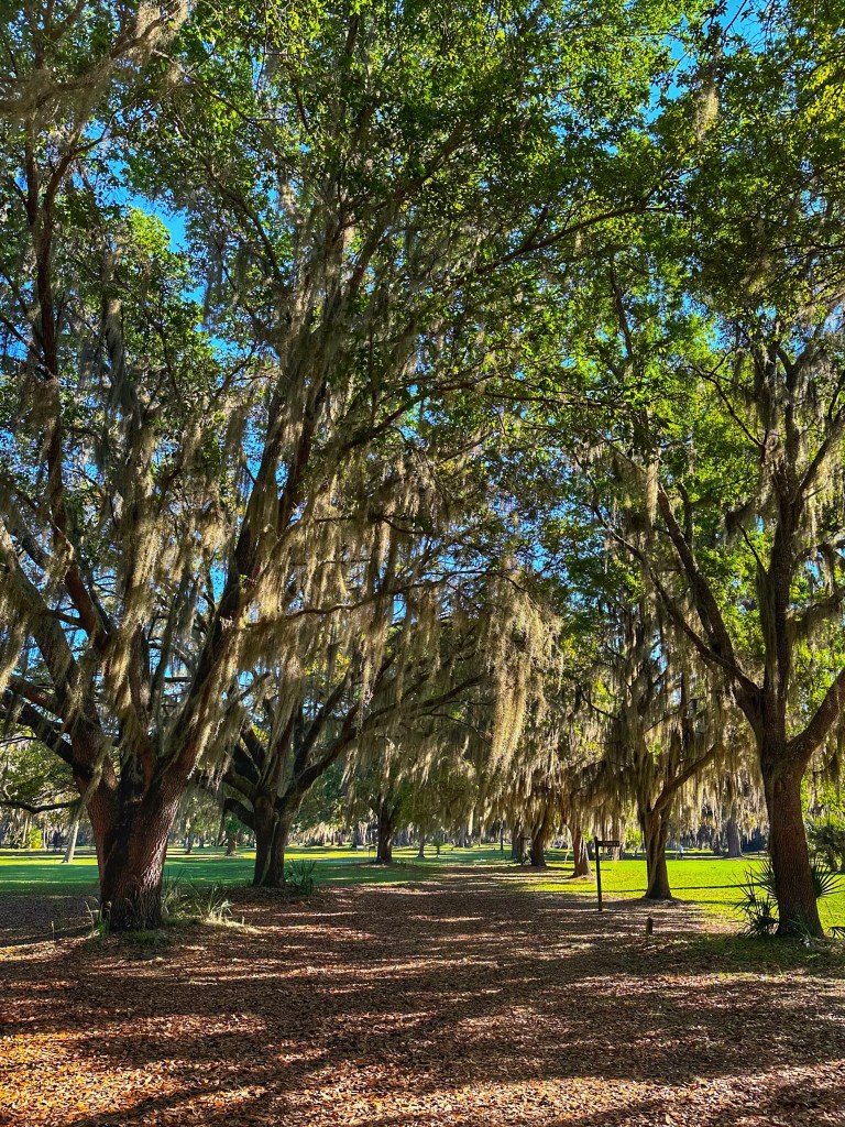
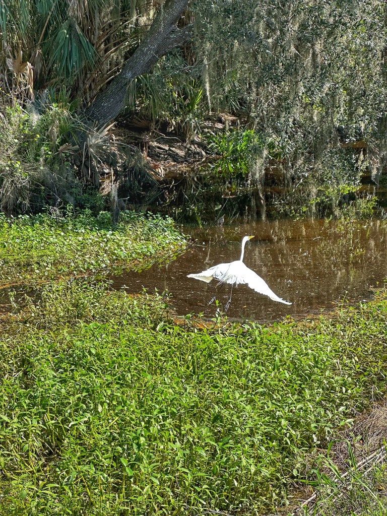
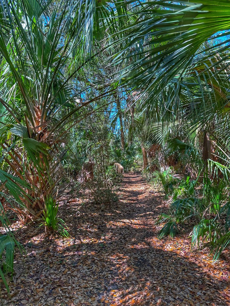
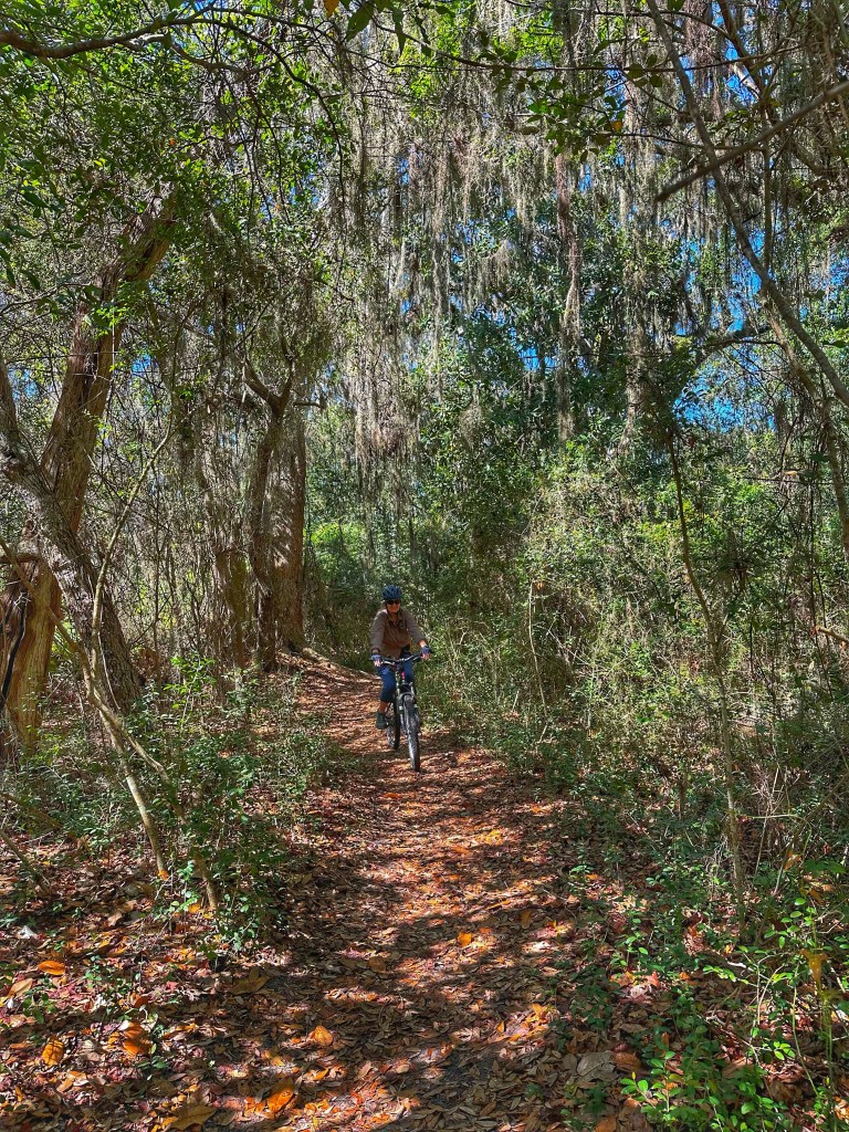
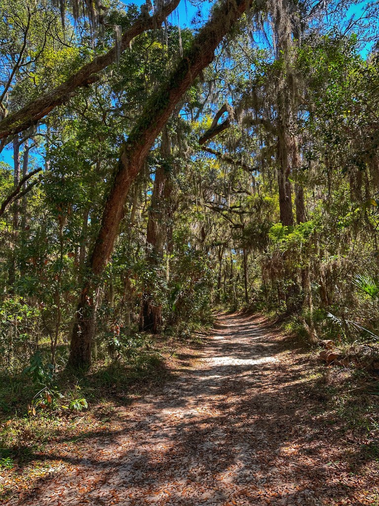
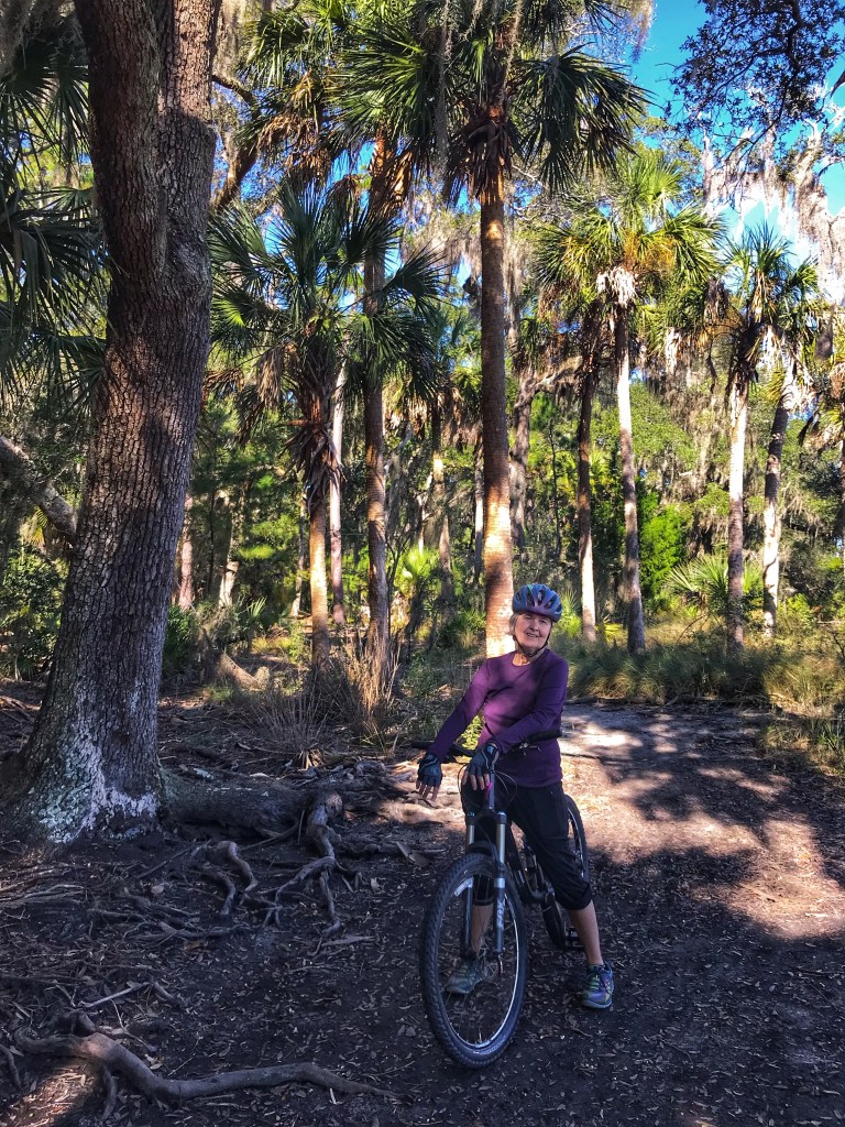
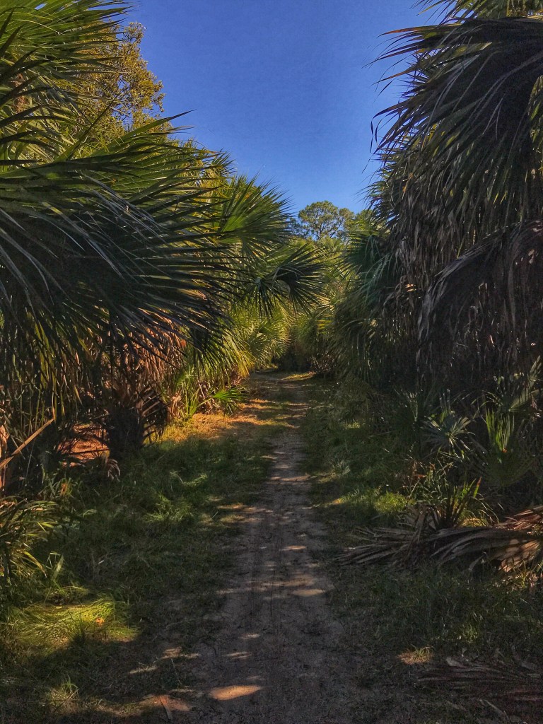
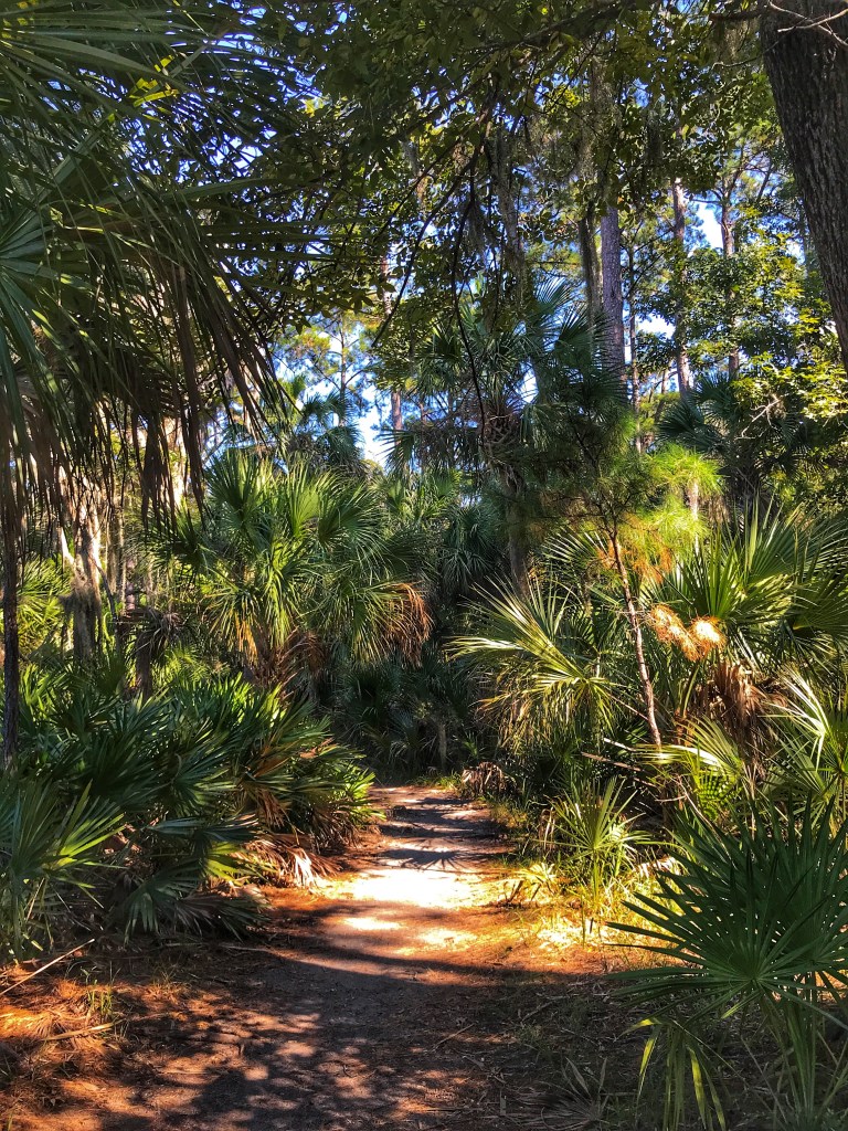
The park offers a number of hiking/biking trails through the palmetto and pine forest as well as along the River.
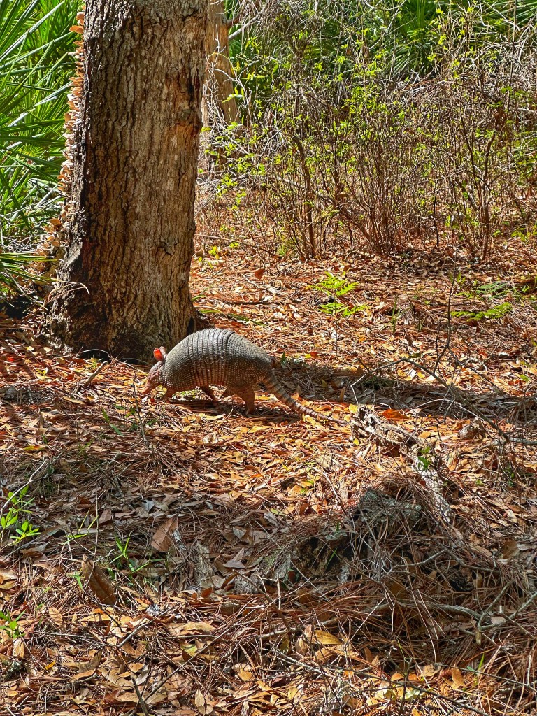
There’s no telling who you’ll run into on the trail.
Gopher tortoise Armadillo
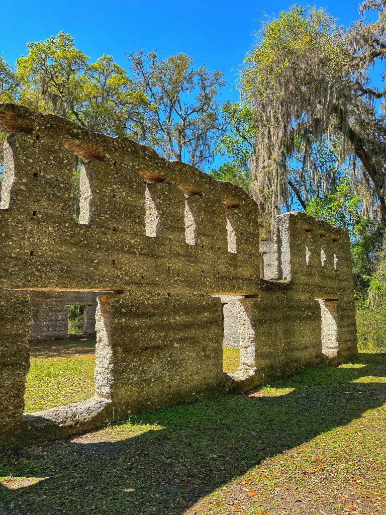
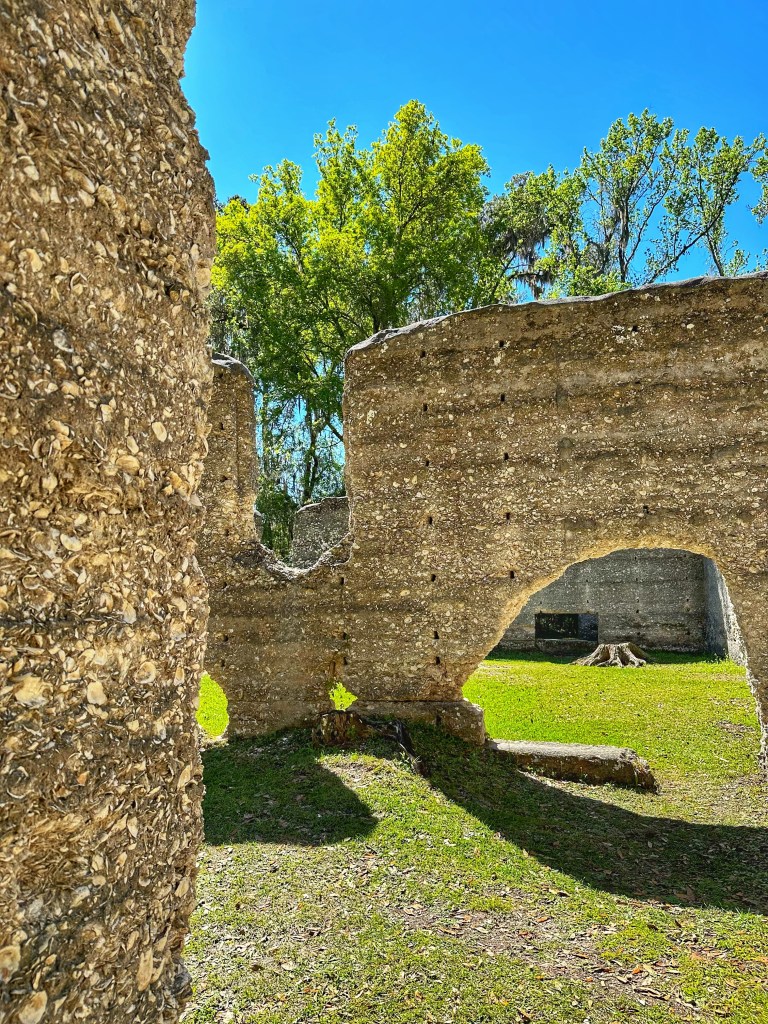
The ruins of a Tabby Sugar Works from 1825 lies just down the road from the campground. It was part of the New Canaan sugarcane plantation.
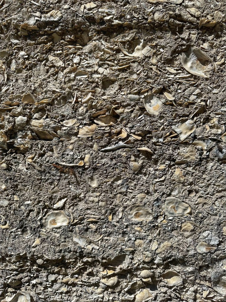
Tabby is a type of concrete made from burning oyster shells to create lime, then mixing it with water, sand, ash and other broken oyster shells. This technique is thought to have originated in Africa.
Tabby
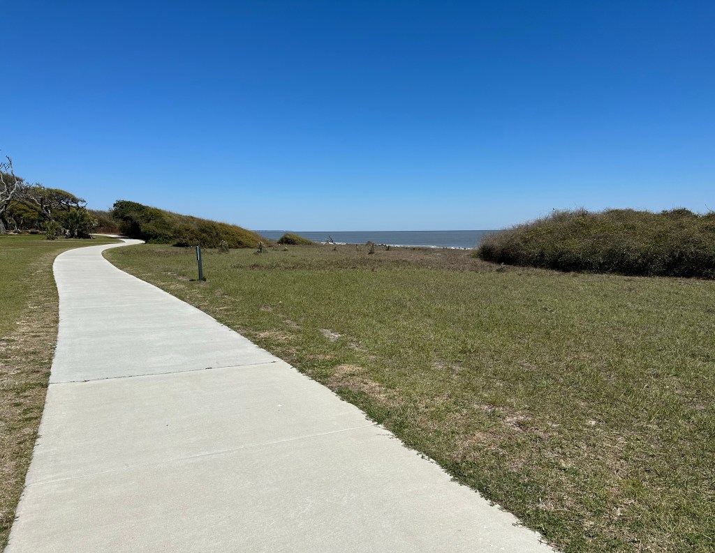
Part of the appeal of Crooked River SP is its proximity to the Georgia sea islands: Cumberland Island, St. Simons Island and Jekyll Island. A ferry ride is required to visit Cumberland Island but St. Simons and Jekyll Island are within an hour’s drive.
The Dungeness Ruins on Cumberland Island
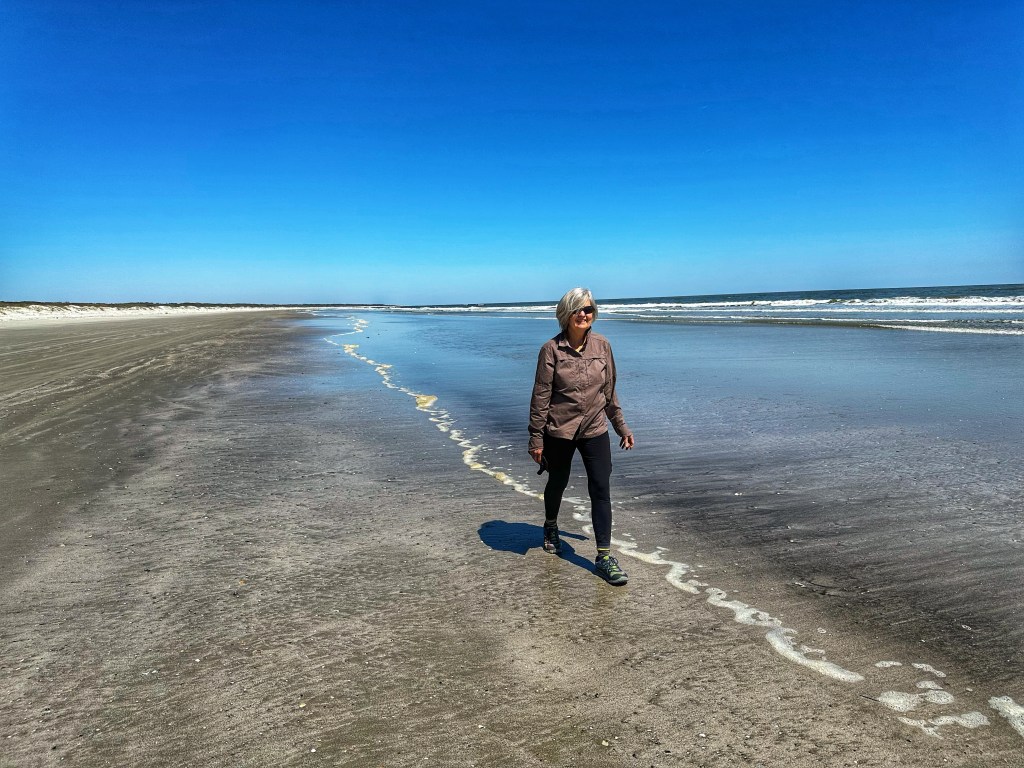
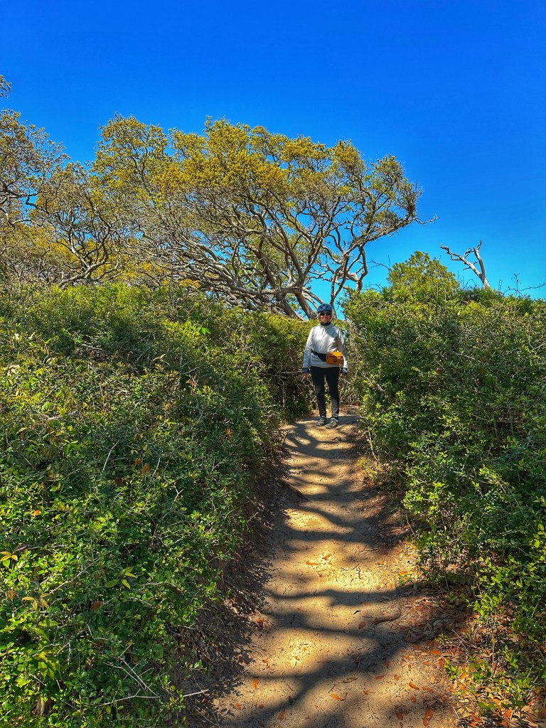
We took our bikes on the ferry to explore Cumberland Island National Seashore. The island is undeveloped and about 17 miles long. With limited time, we didn’t want to miss the last ferry back to St. Mary’s so we concentrated on the southern end of the island.
We rode about 4 miles north down a sand road to checkout the underutilized Little Greyfield Beach
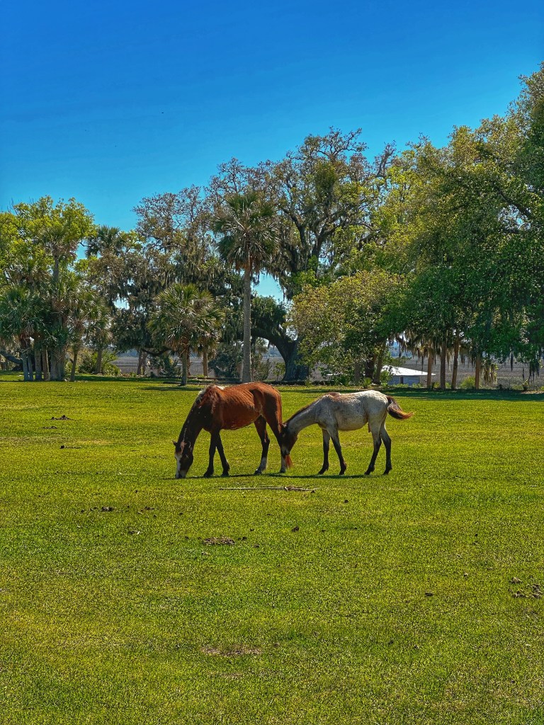
In the 1880’s Thomas Carnegie, (Andrew’s brother) bought up much of the island and built Dungeness Mansion. He died before it was completed but his wife Lucy and their nine children lived there until 1925. The deserted mansion burnt down in 1959. The island became a National Seashore in 1972.
Wild horses can be seen throughout the island
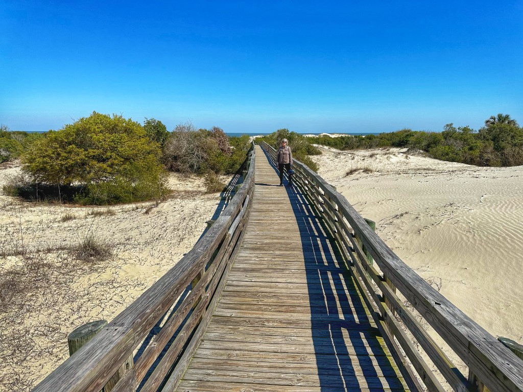
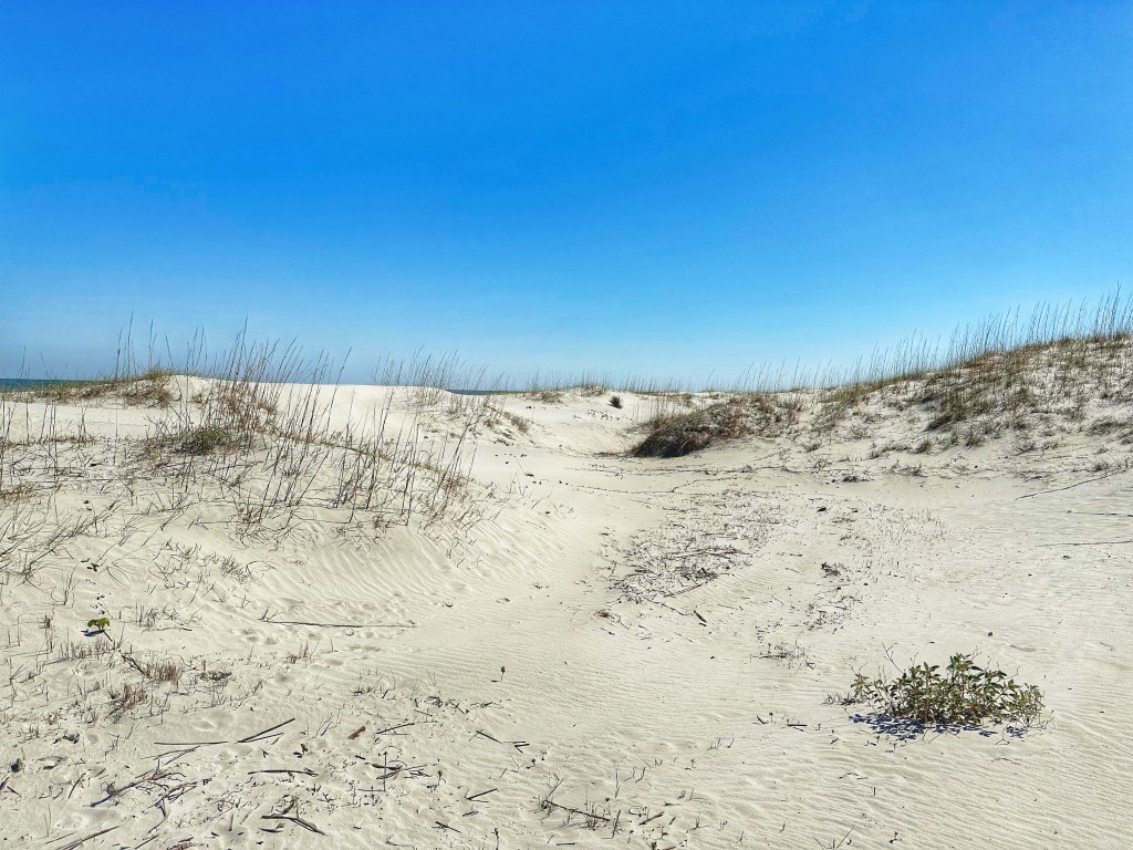
We made our way to Sea Camp Beach to check out this popular destination. The park service constructed a boardwalk over the dunes for easier access to the beach.
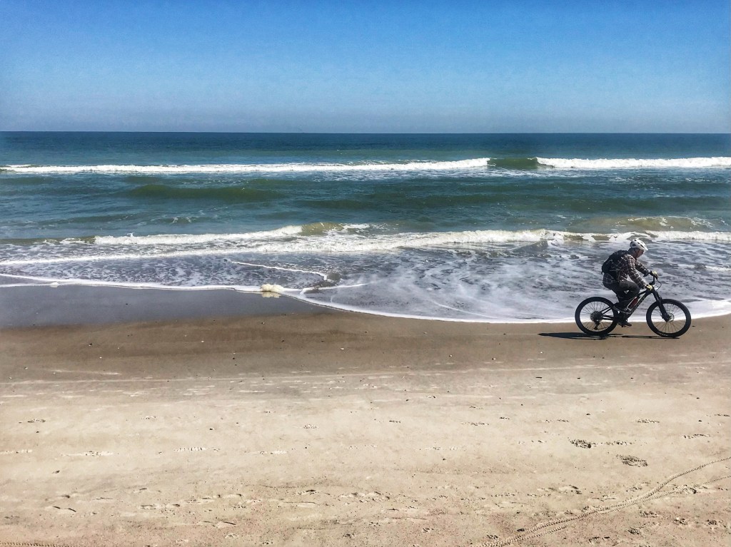
It sure is fun riding on the beach
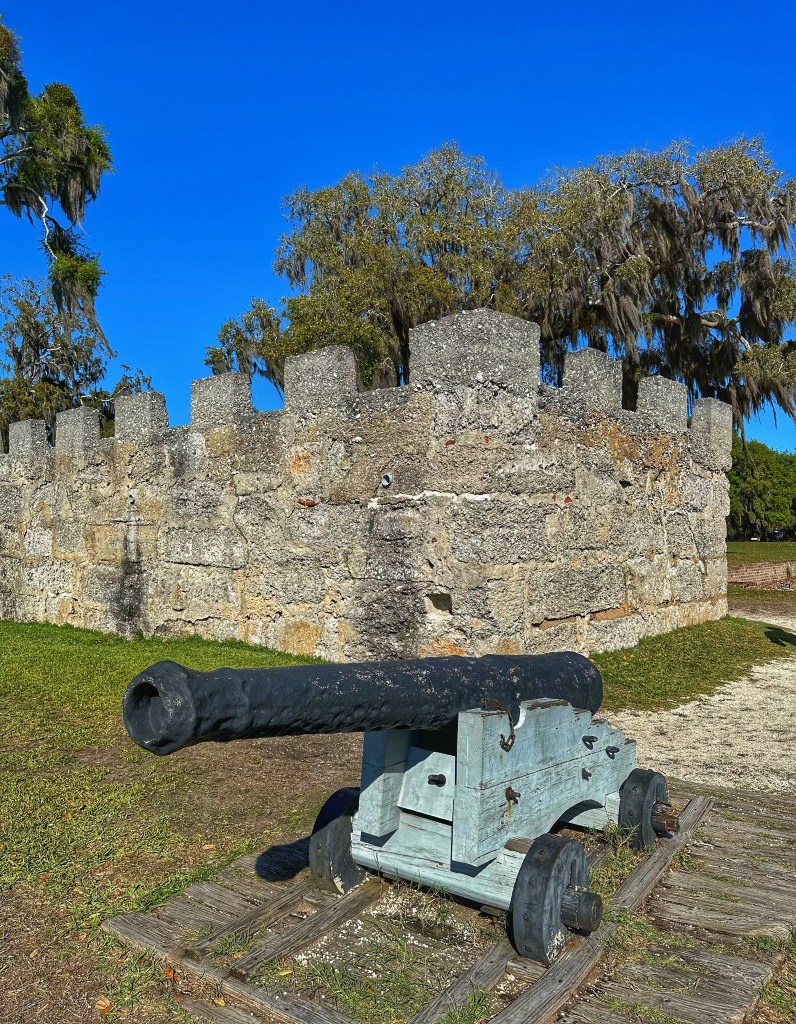
Colonial era Fort Frederica is located on St. Simons Island about 50 minutes from our campground. James Edward Oglethorpe established this fort and colony as a way to challenge the Spanish in Florida. The grounds of this National Monument are lovely to wander.
The remains of the tabby powder magazine is all that’s left of the fort that guarded the twisty river approach to the town.
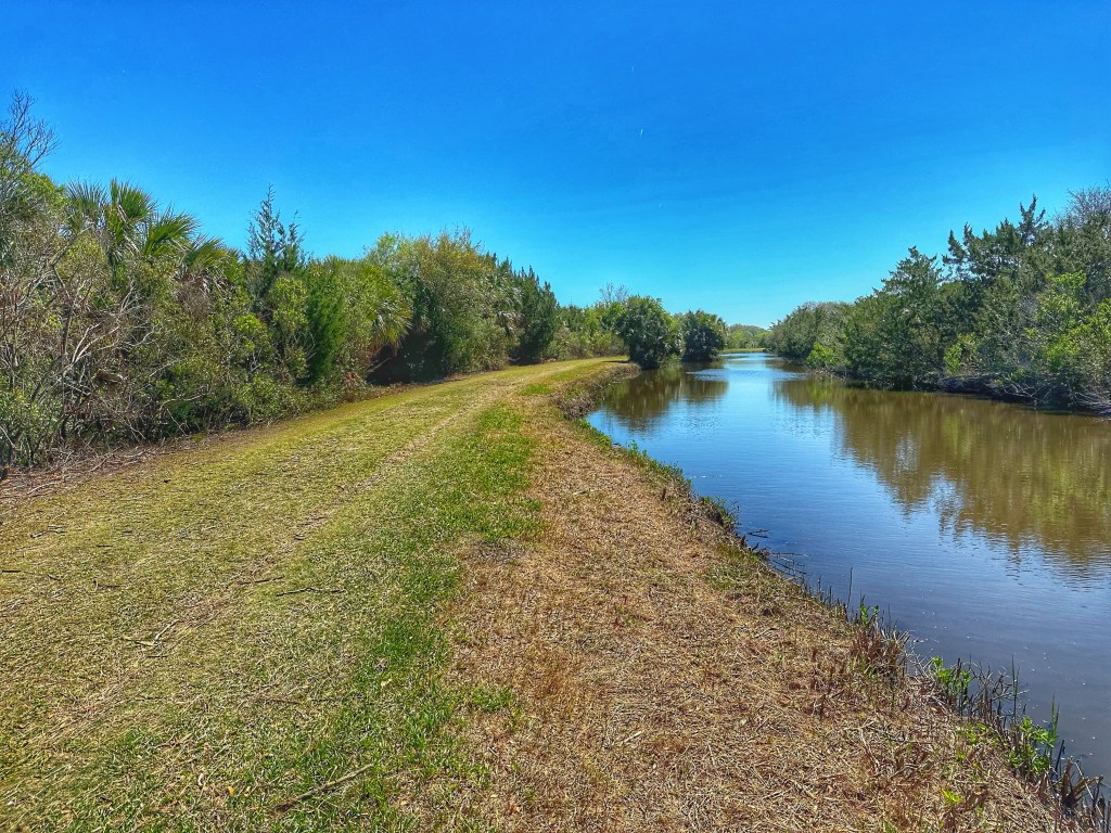
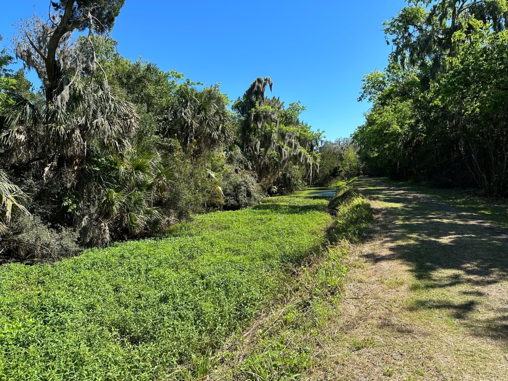
Just over the Georgia border in Florida is Amelia Island, again about 50 minutes from the campground. We ventured down to the island to explore the Eagan Creek Greenway.
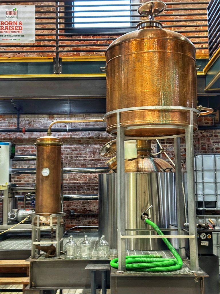
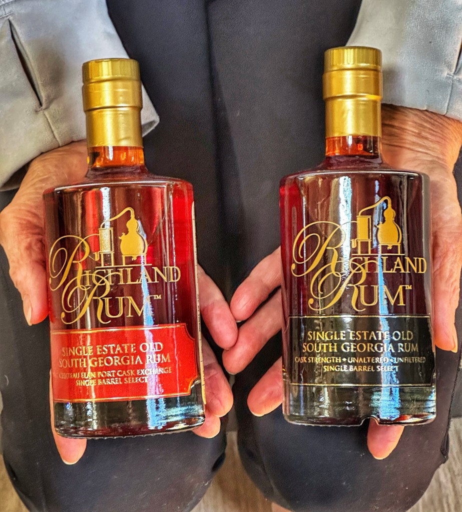
We experienced some rainy weather so decided to leave camp and check out Brunswick, Georgia. The town boasts a brewery (Silver Bluff Brewing) and a rum distillery across the street. The brewery was crowded with St. Patrick’s Day celebrants so we opted for the distillery. Richland Rum proved to be a good choice.
We did a tasting and dove in.
In 1733 James Edward Oglethorpe established an English Colony on Jekyll Island. He named the island after his financial backer Sir Joseph Jekyll. The island now boasts 23 miles of biking trails, including 10 miles of beach riding.
In 1886, the island was purchased by the Jekyll Island Club. By the turn of the century they built a vacation resort patronized by some of America’s wealthiest families.
The original Club House
In 1947, the island was sold to the state of Georgia for use as a public park. National Landmark status was awarded to the island’s historic district.
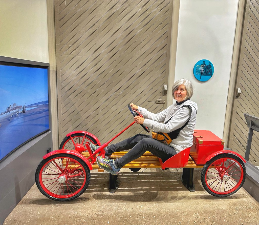
The interactive Mosaic museum does a good job of presenting the history of the island
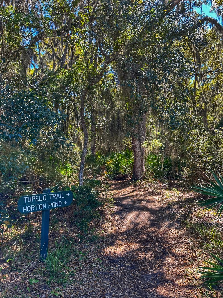
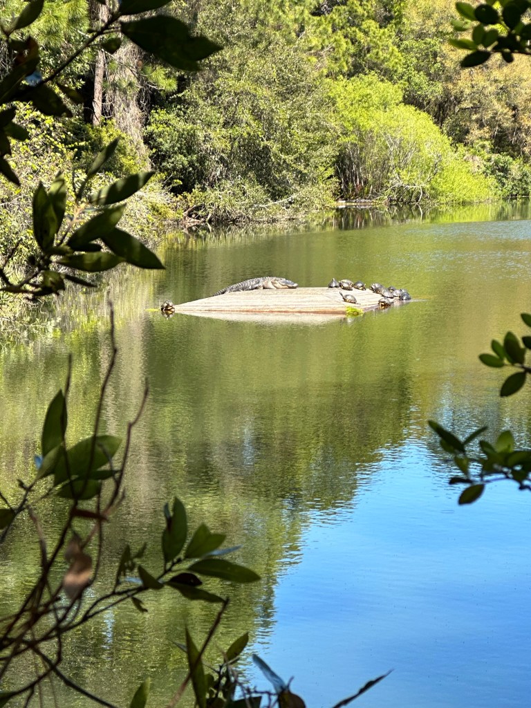
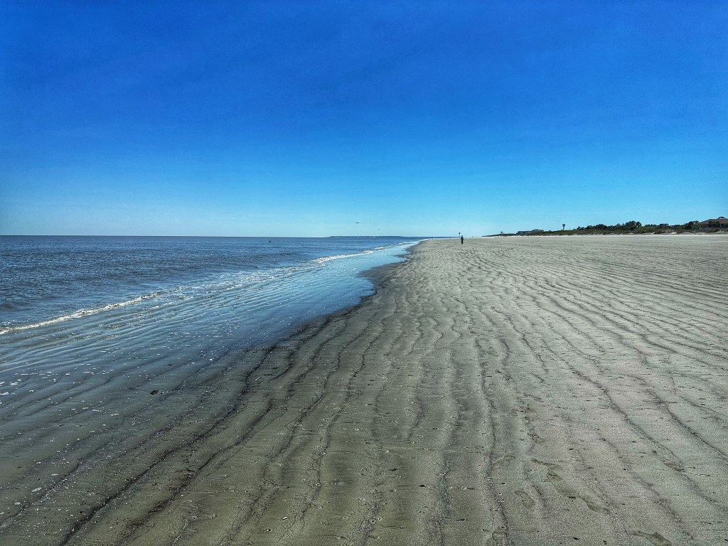
While the history of the island is interesting, the main draw for us are the beaches and bike trails.
Driftwood Beach Horton PondGreat Dunes Beach
We have visited Georgia several times in our travels but never had the opportunity to visit the “ Golden Isles”. We are certainly glad we made the effort this trip. But we are not leaving Georgia yet- next up is the beautiful city of Savannah- just two hours up the coast.
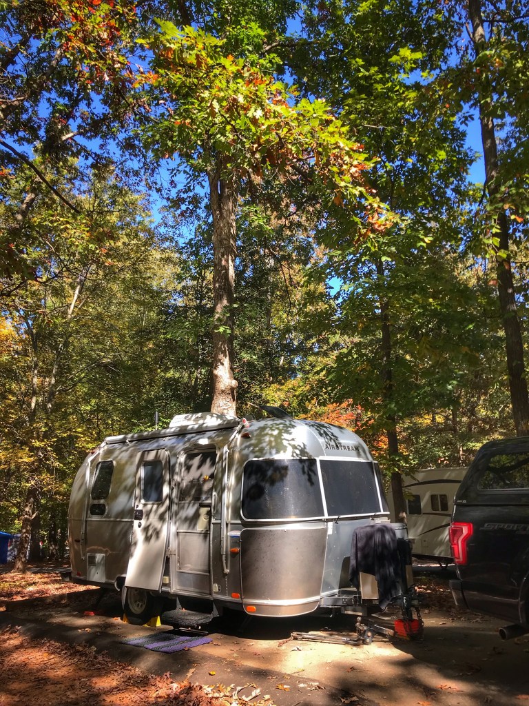
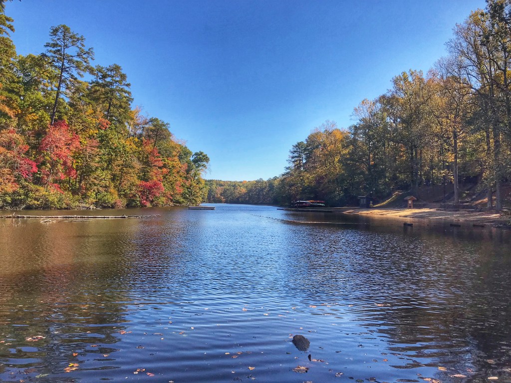
Fellow travelers have been telling us about Greenville, SC for a number of years. They heaped praise on it’s walkable downtown park with a waterfall. SO…based on that we decided to include it on our trip south.We found a state park nearby and made our way to Greenville.
Paris Mountain SP site 26
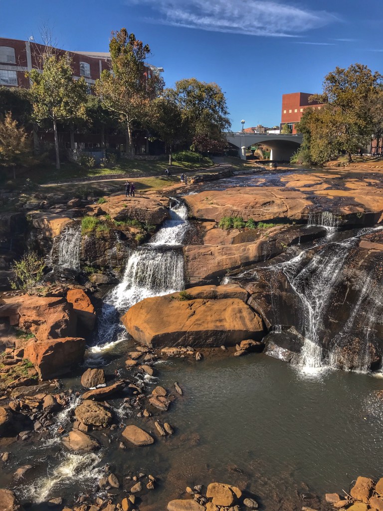
The Reedy River runs through the center of Greenville. The river was the site of grist and cotton mills. While creating wealth and employment it also created pollution. After some forward thinking civic leaders pushed for cleaning up the river, Falls Park was created.
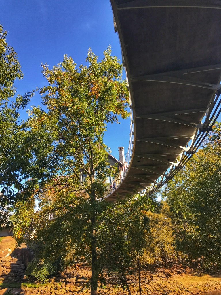
The curved pedestrian bridge over the river is a highlight.
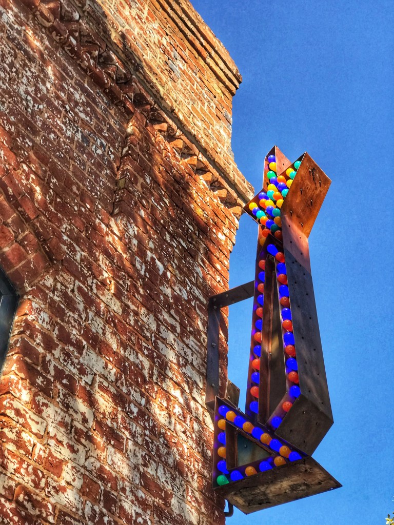
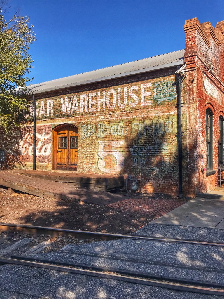
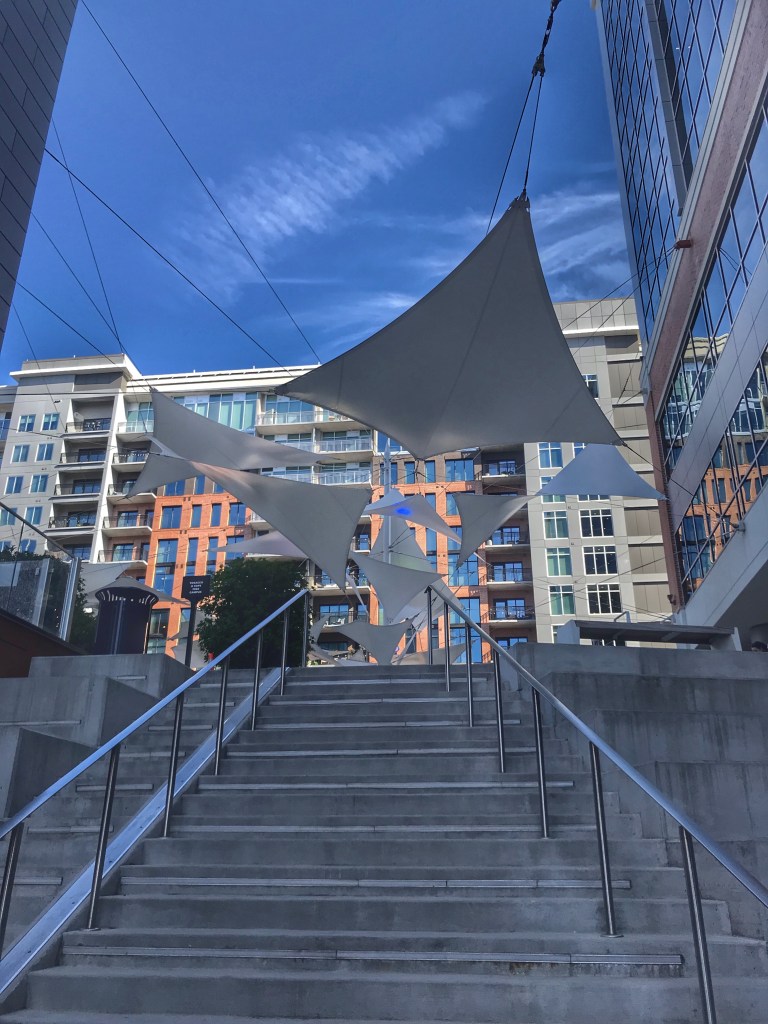
The architecture of Greenville is an interesting mix of old and new.
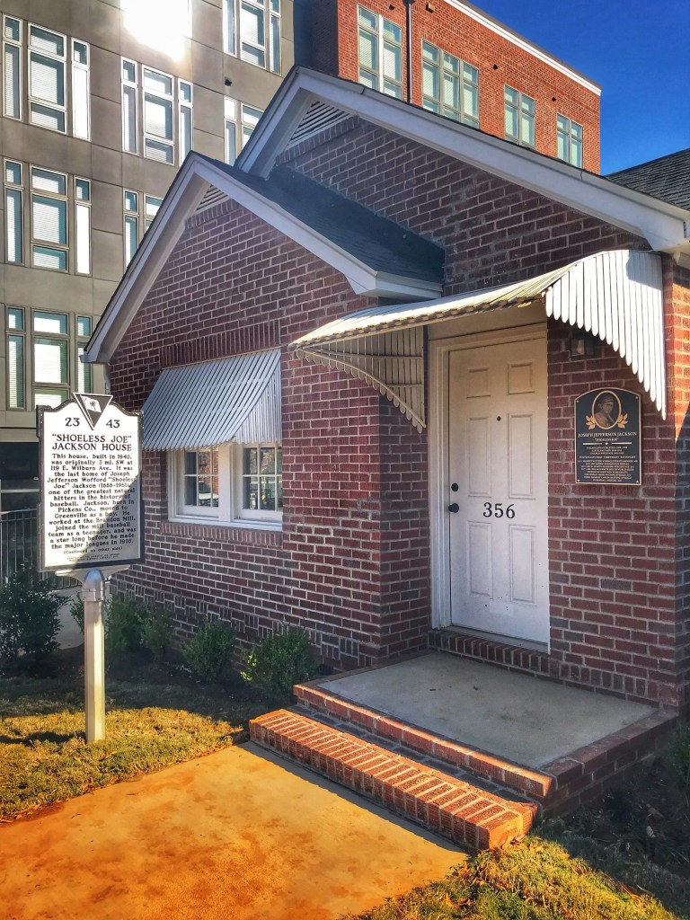
As an added bonus you can find “Shoeless “ Joe Jackson’s last home. The house is now a museum and library open to the public. Sadly it was closed during our visit.
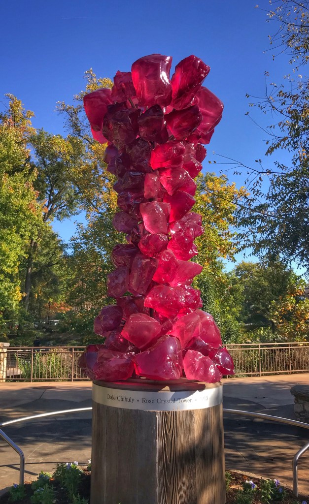
As you wander downtown you encounter lots of public art.
Dale Chihuly’s Rose Crystal Tower
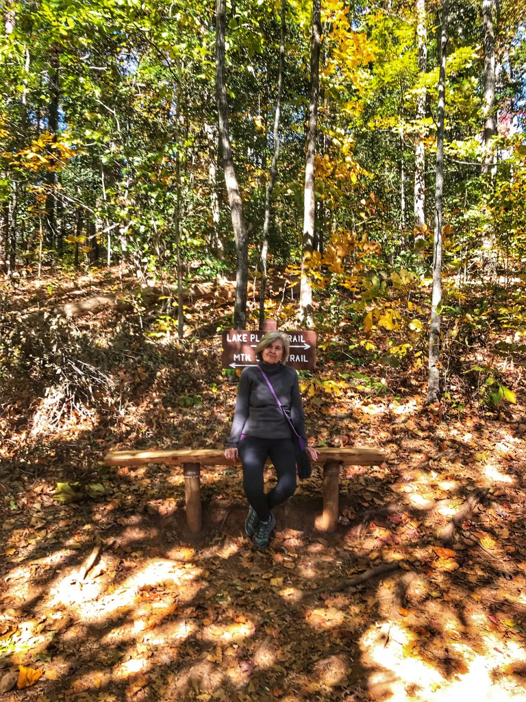
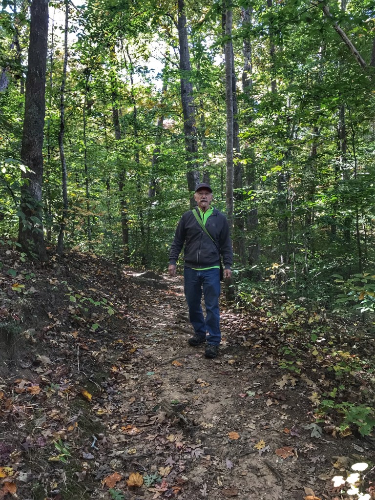
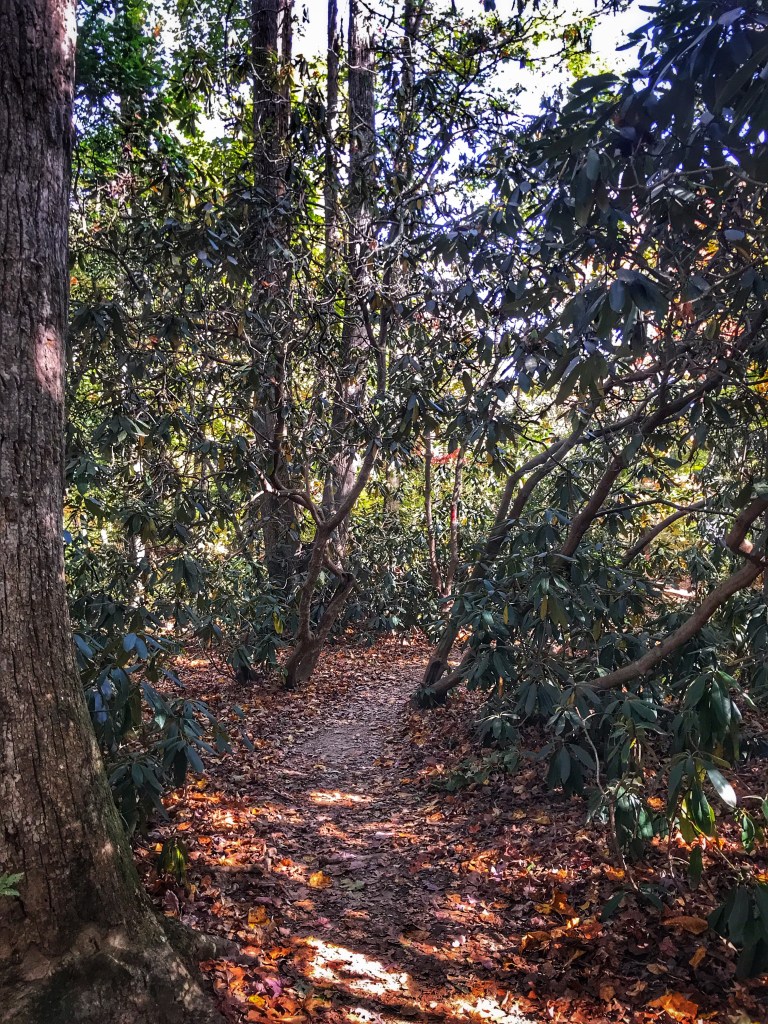
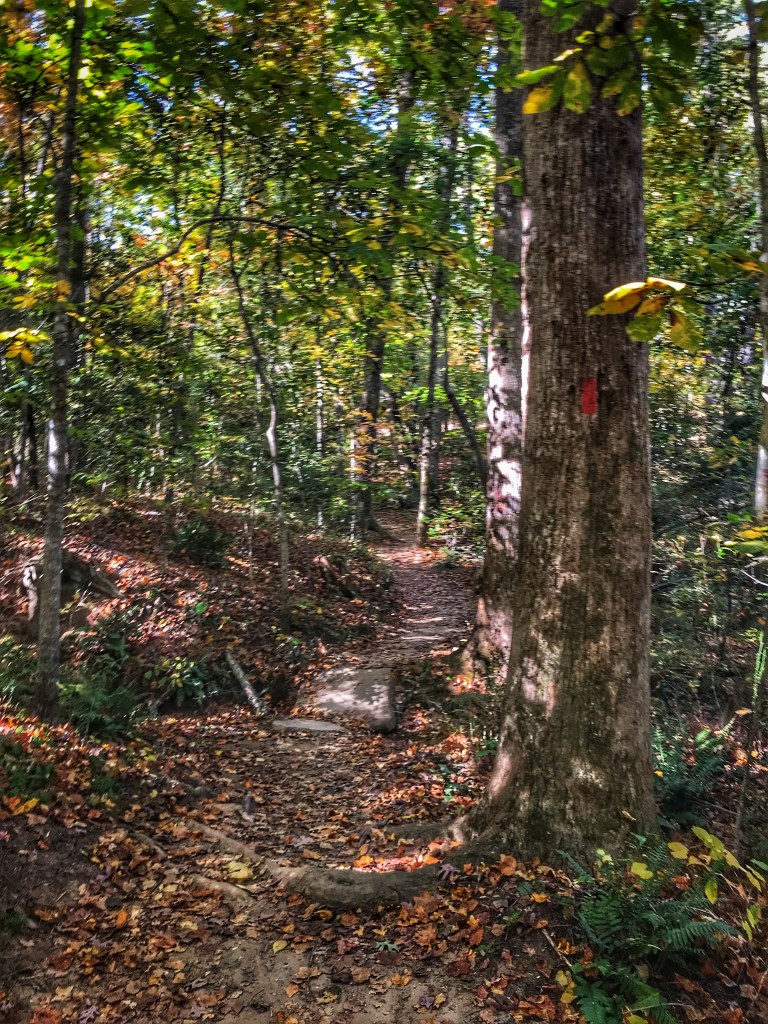
While the city is fun to wander through, we enjoyed spending some time hiking the trails around Paris Mountain.
Lake Placid
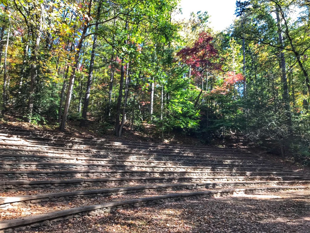
The park was created in the 1930’s by the Civilian Conservation Corps (CCC) and contains one of the last CCC amphitheaters. This was the site of church services and Strom Thurmon political rallies in the 1940’s.
CCC amphitheater
There was more to explore around Greenville and Paris Mountain. A return trip is in order but for now it’s time to move on to one of our favorite southern cities, Savannah.
Skidaway Island SP site 50
Part of the appeal of Savannah is that we stay at Skidaway Island State Park. The park is located twenty minutes from downtown and has a number of hiking and biking trails through the Georgia low county.
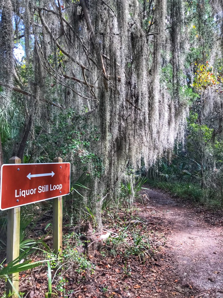
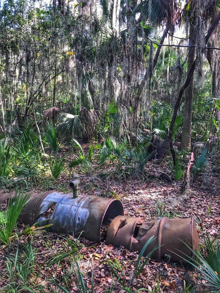
Due to it’s remoteness, Skidaway Island was the preferred location for moonshiner’s in the early 20th century. The number of stills peaked during prohibition.
Note the axe marks on the barrels, the result of a police raidBeautiful tidal marshes surround the islandDusk in the low country
While we didn’t spend much time in the city we sure enjoyed our time here in the low country. It was time to pack up and head to Florida for some family visits.
Site 43
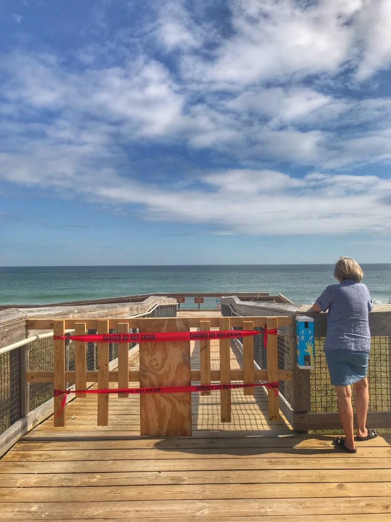
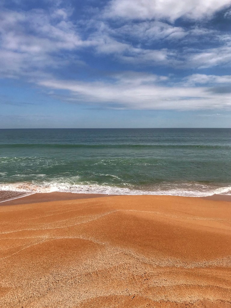
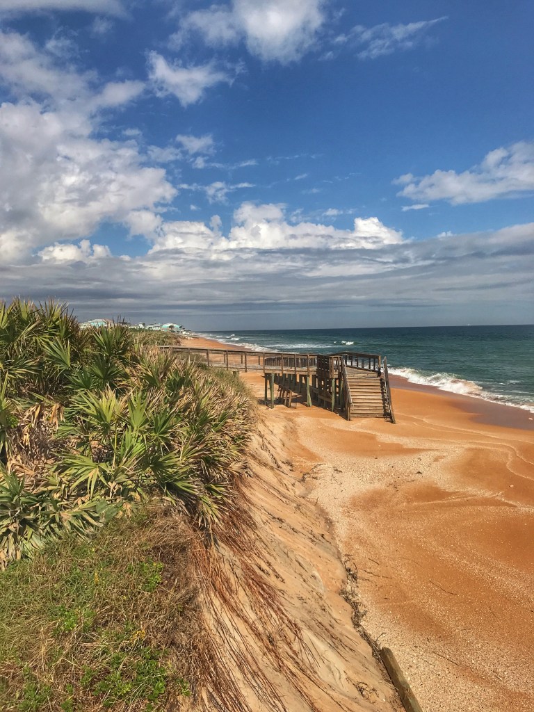
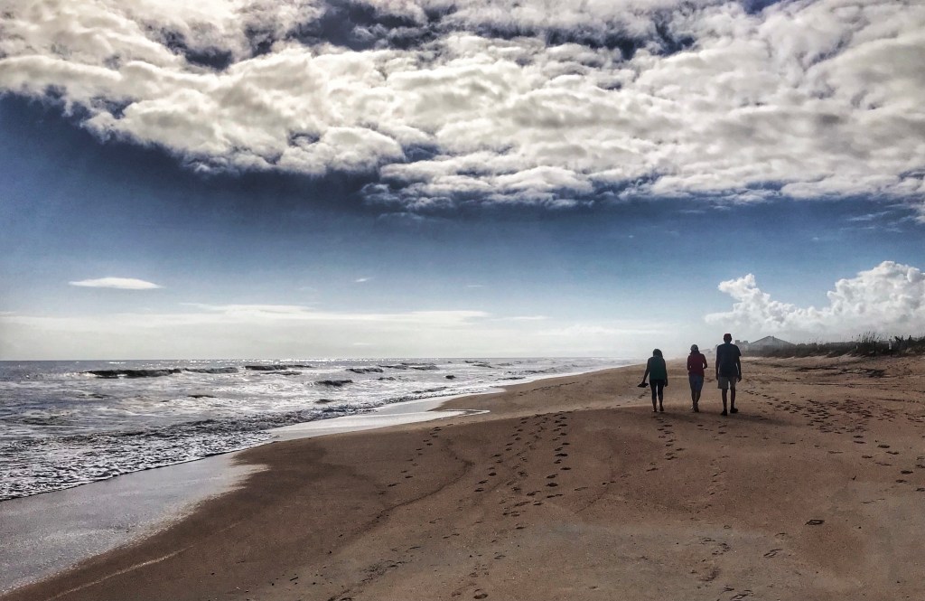
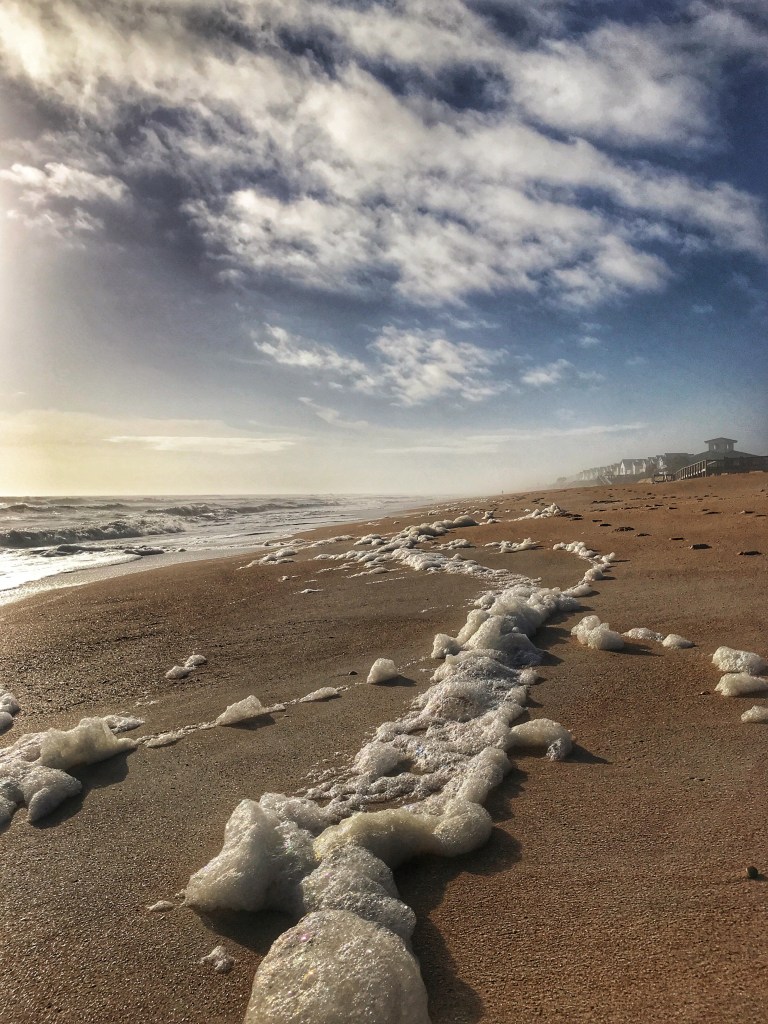
We set up camp at Gamble Rogers State Park. The park is located on the Atlantic Coast near Flagler Beach. We’ve stayed here before because of its proximity to assorted family members and it’s easy beach access. However, beach access was unavailable due to the last hurricane that blew through the area.
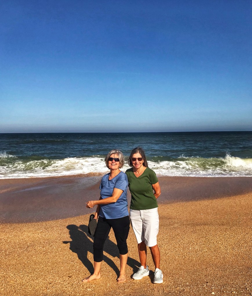
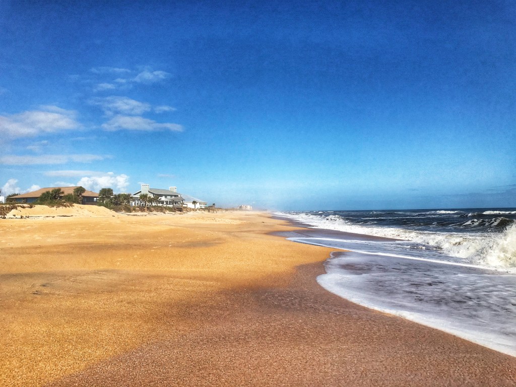
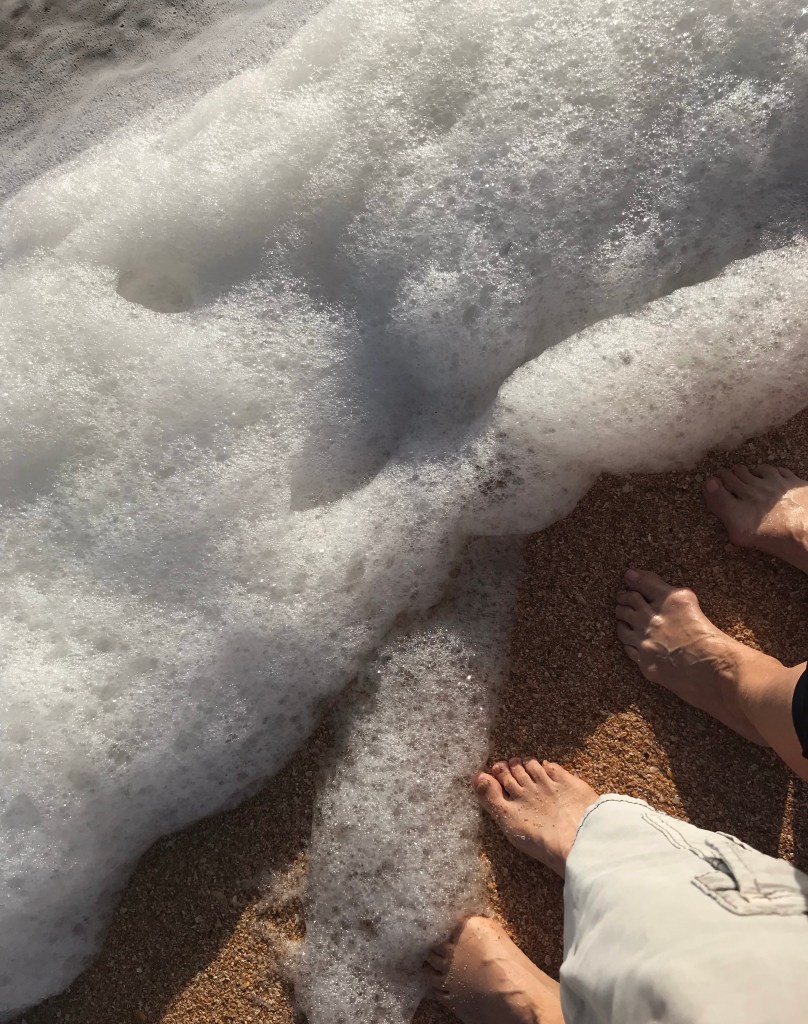
Shelly’s sister lives nearby and can still access her neighborhood beach.
Pat and Andrea
We are always amazed by how underutilized the section of beach is.
Pat, Andrea and Jeff
We worked in a trip down to New Smyrna Beach to visit with some of our Nieces and Nephews.
Nancy Beth and Pat
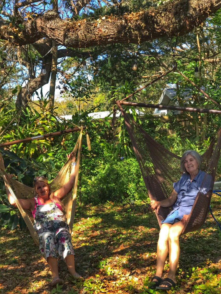
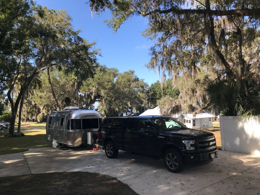
After our brief visits along the Atlantic coast of Florida we moved inland to visit with Pat’s siblings Carolyn and Mike. Mike was kind enough to allow us to park the Tincan in his yard until we return in January. No need to winterize.
Tincantravels will resume after our return to Florida in the new year
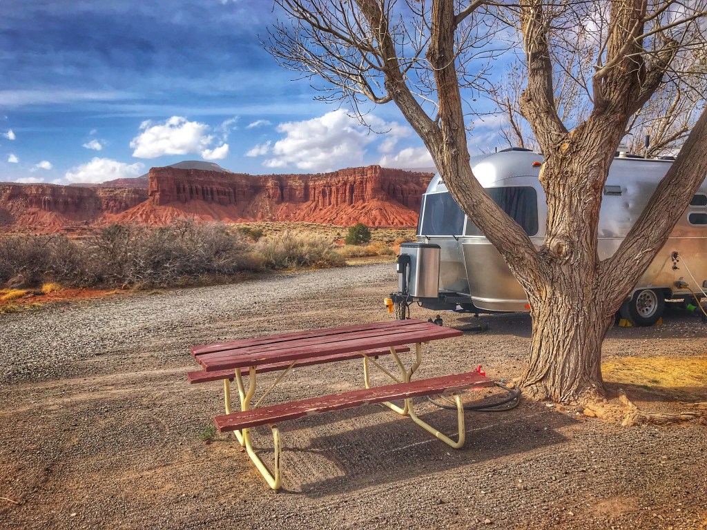
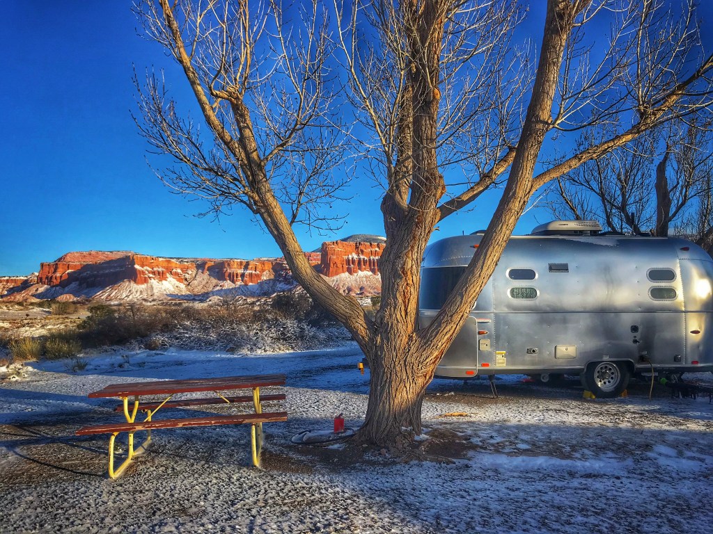
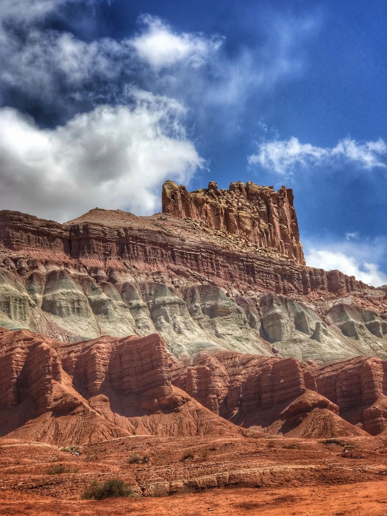
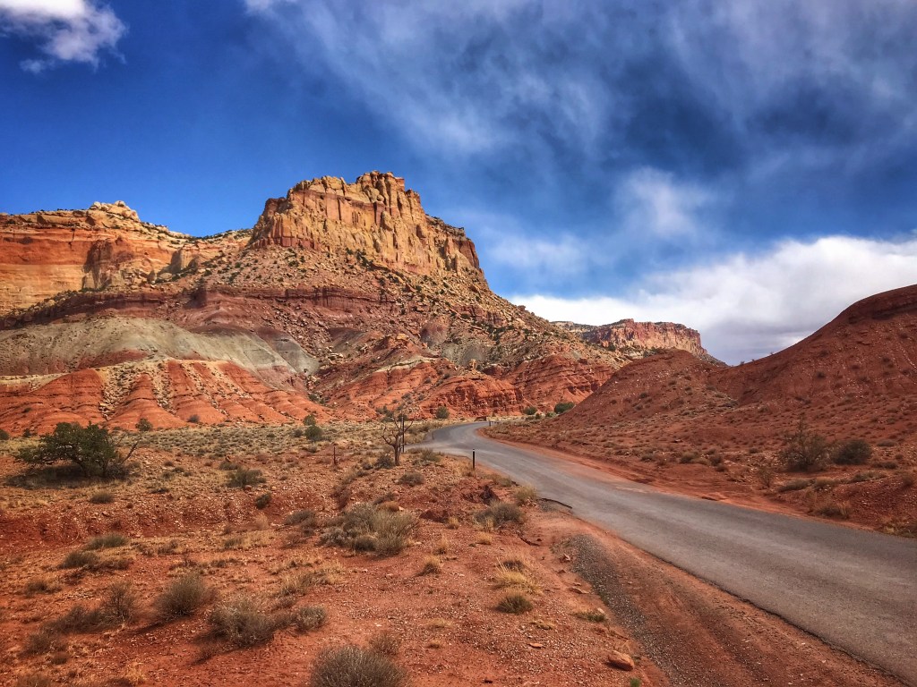
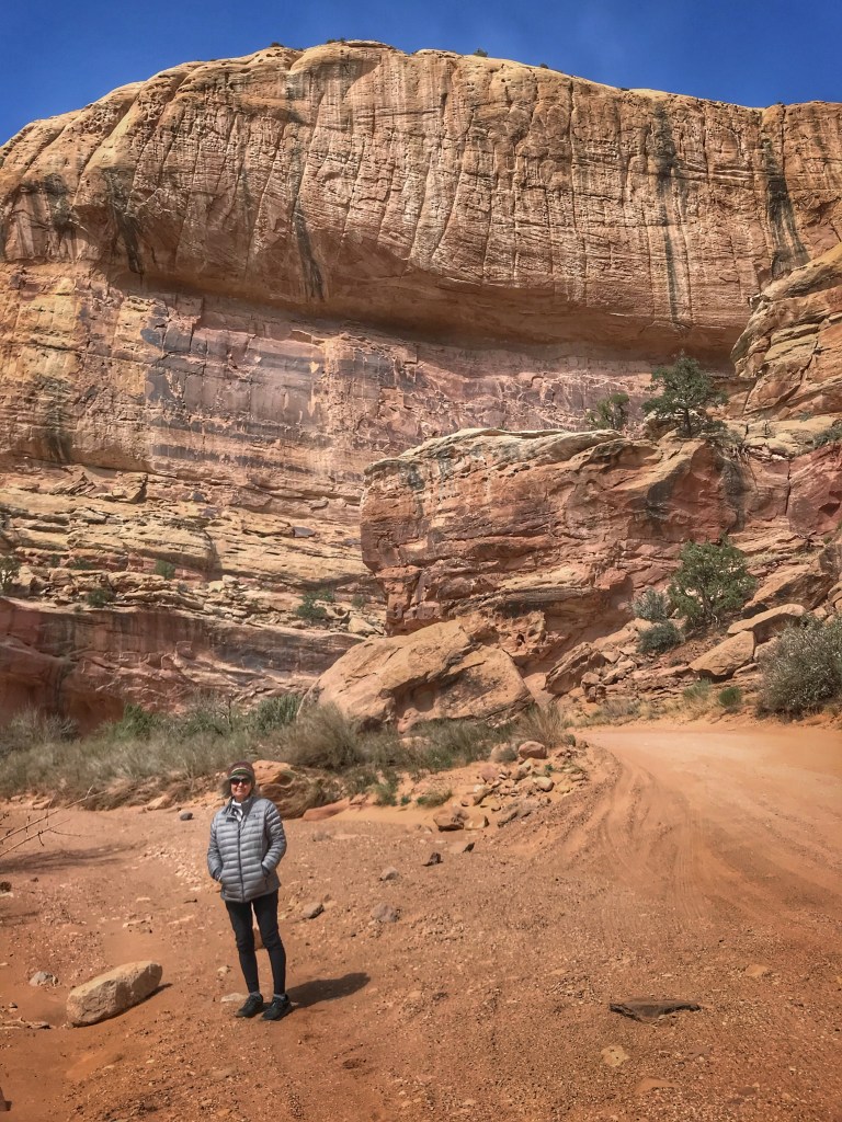
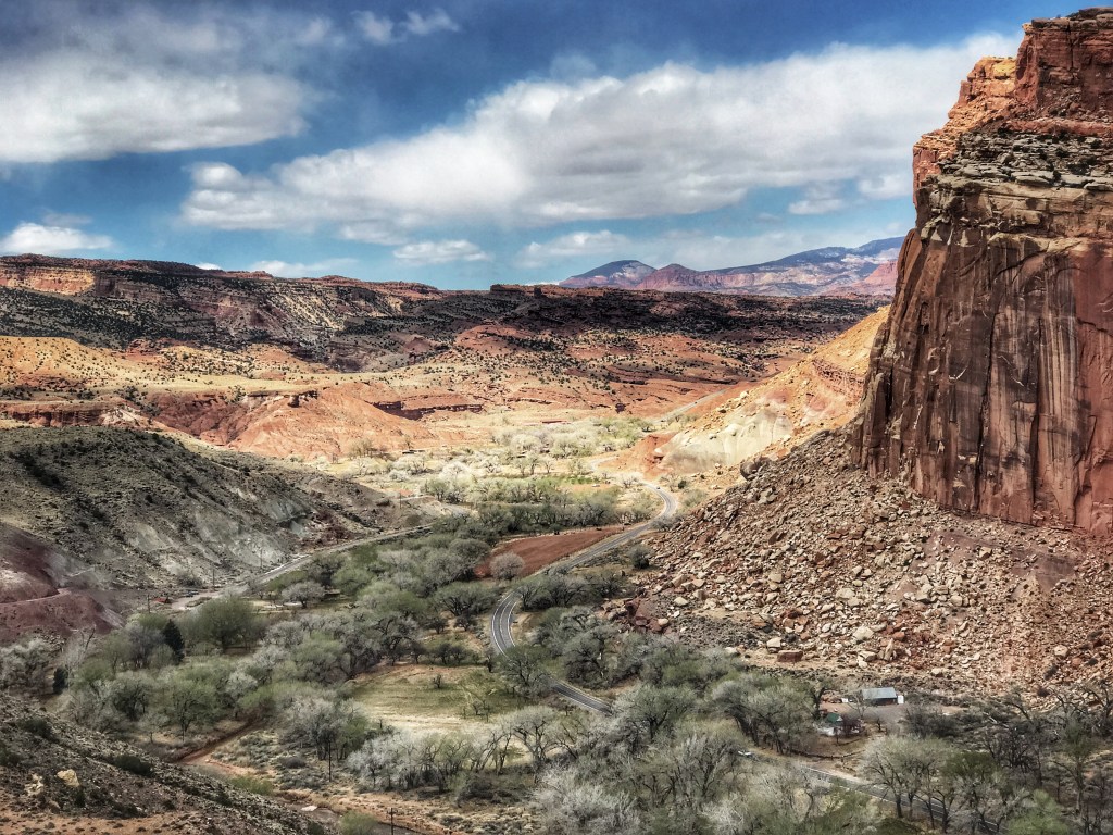
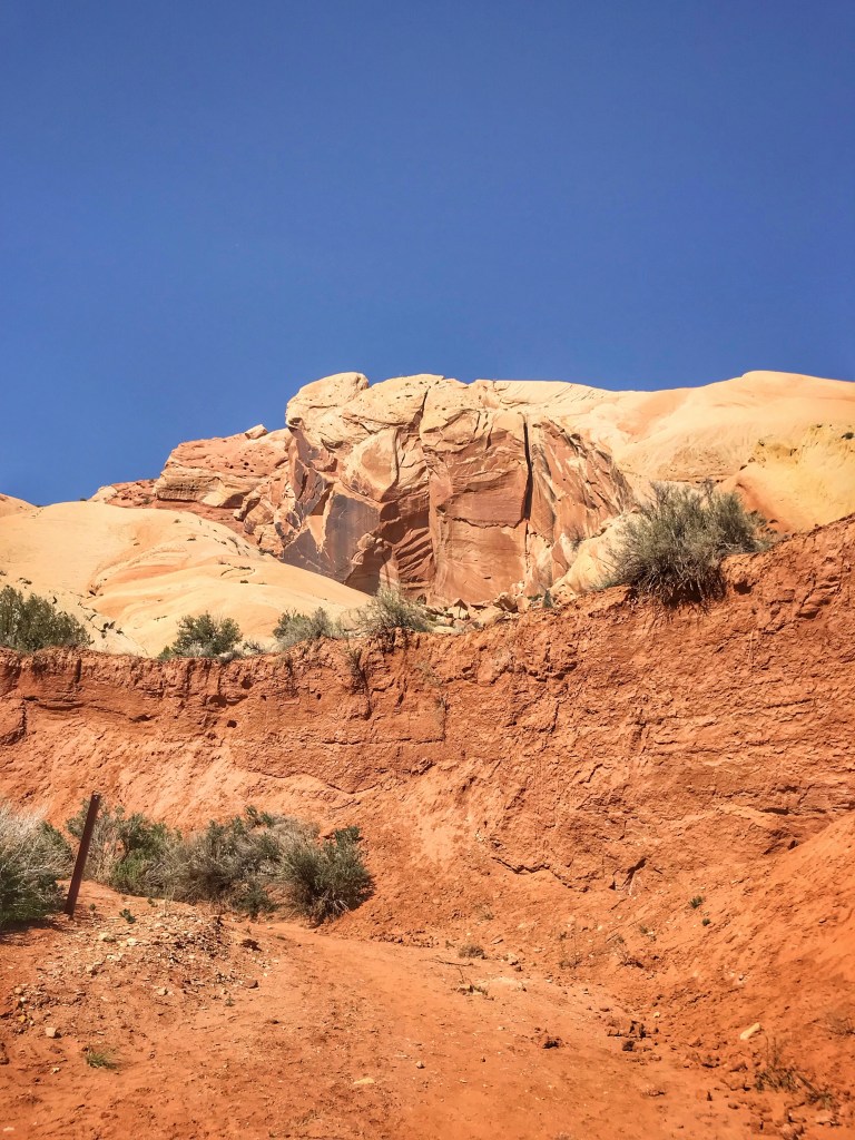
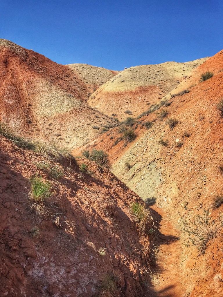
We left Kanab, Utah and made our way north to Torrey, Utah to visit Capital Reef National Park. The park’s defining geological characteristic is a wrinkle in the Earth’s crust known as the Waterpocket Fold.
We set up camp on a sunny ridge overlooking a valleyThat evening the temperature dropped, the wind howled and snow arrived
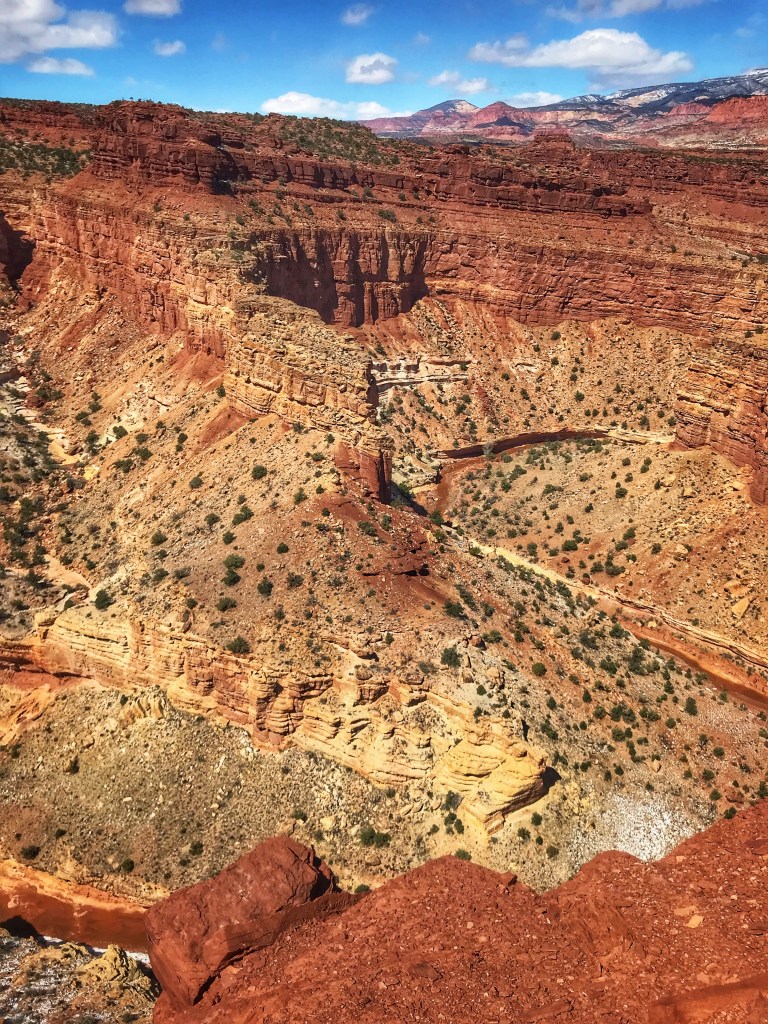
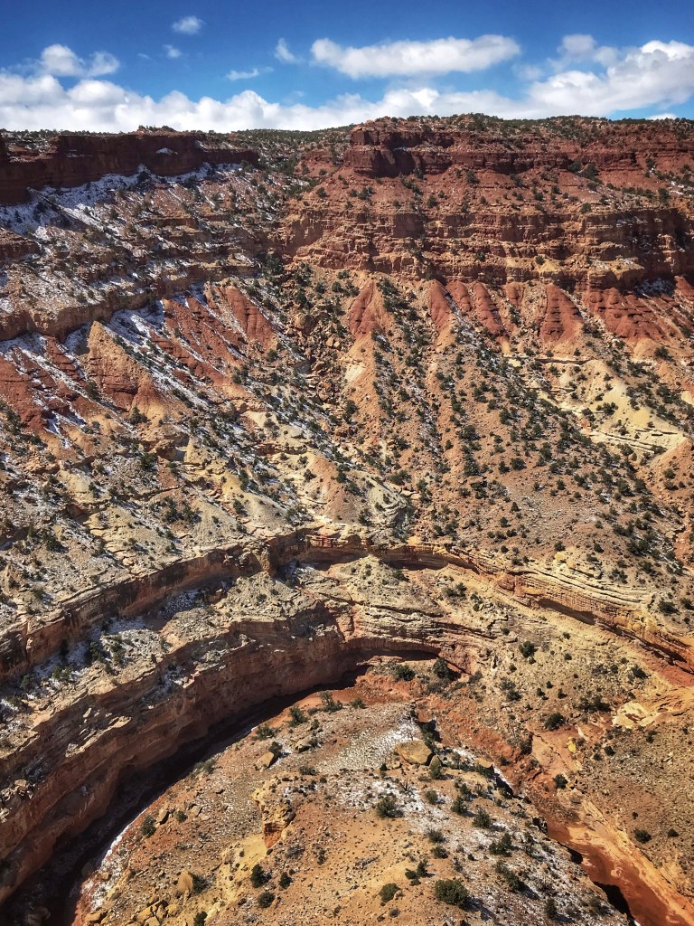
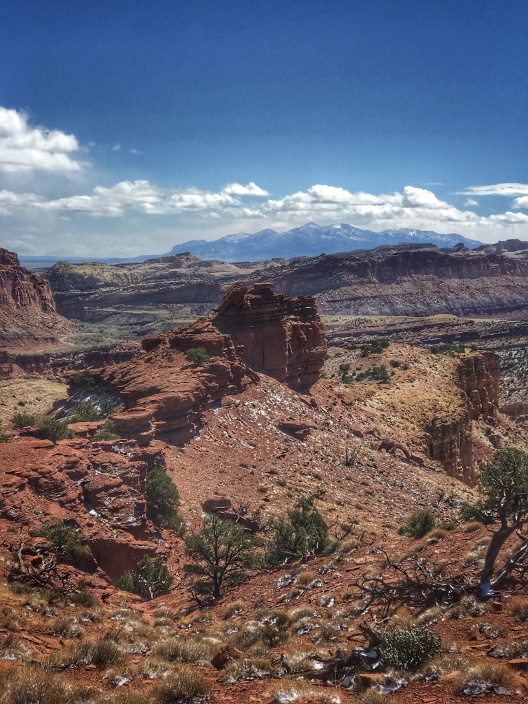
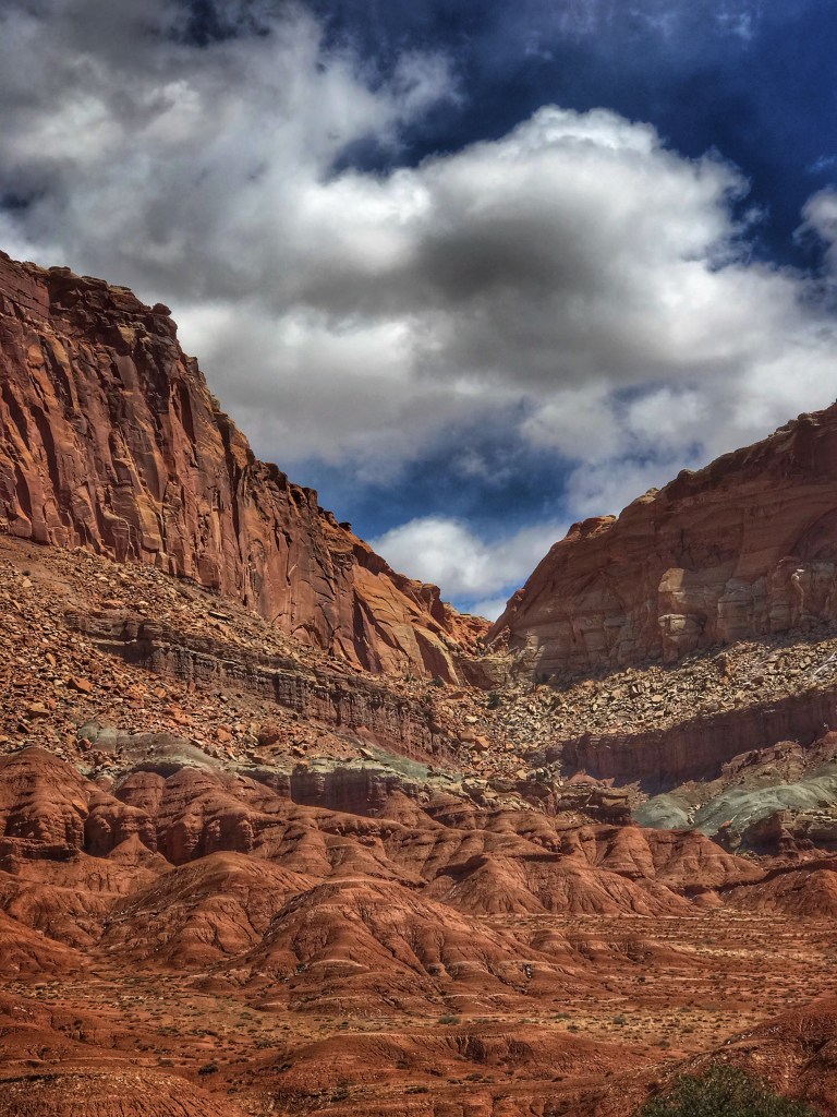
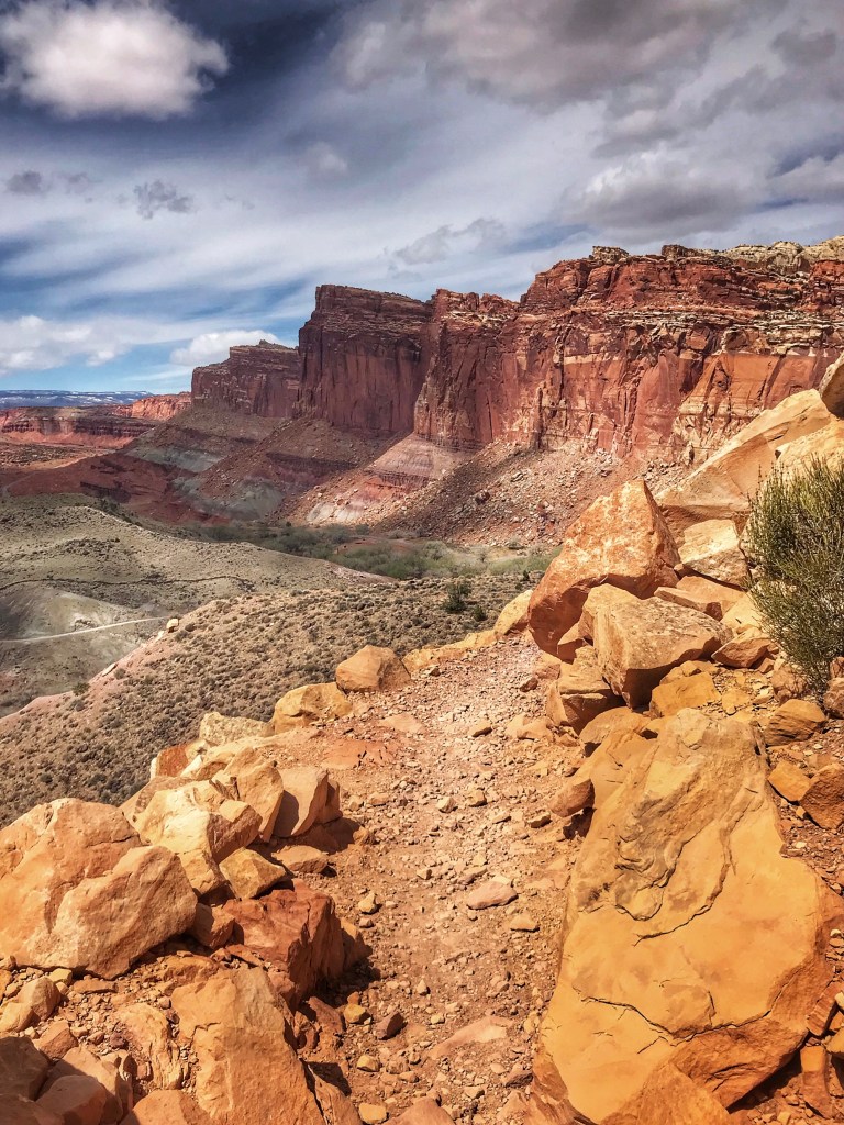
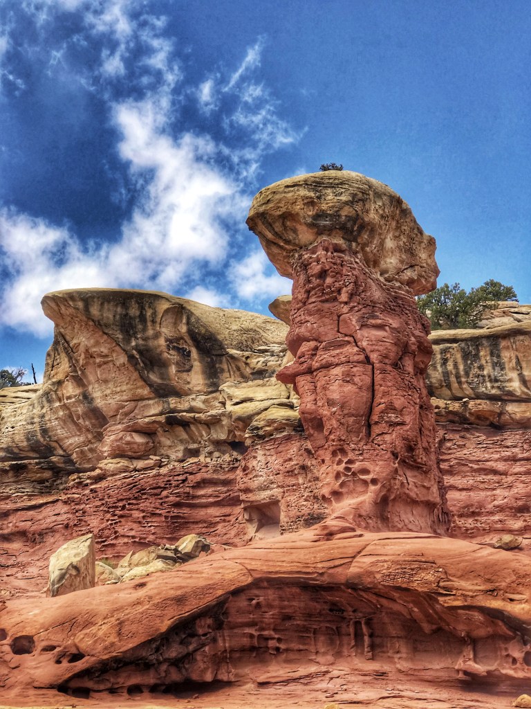
Capital Reef features some short hikes and an 8 mile scenic drive that seemed like a nice option on a cold and windy day.
A view from the Goosenecks OverlookOne of the Fremont River’s Gooseneck’s A view from Panorama Point
The scenic drive let’s visitors easily access many of the parks natural wonders.
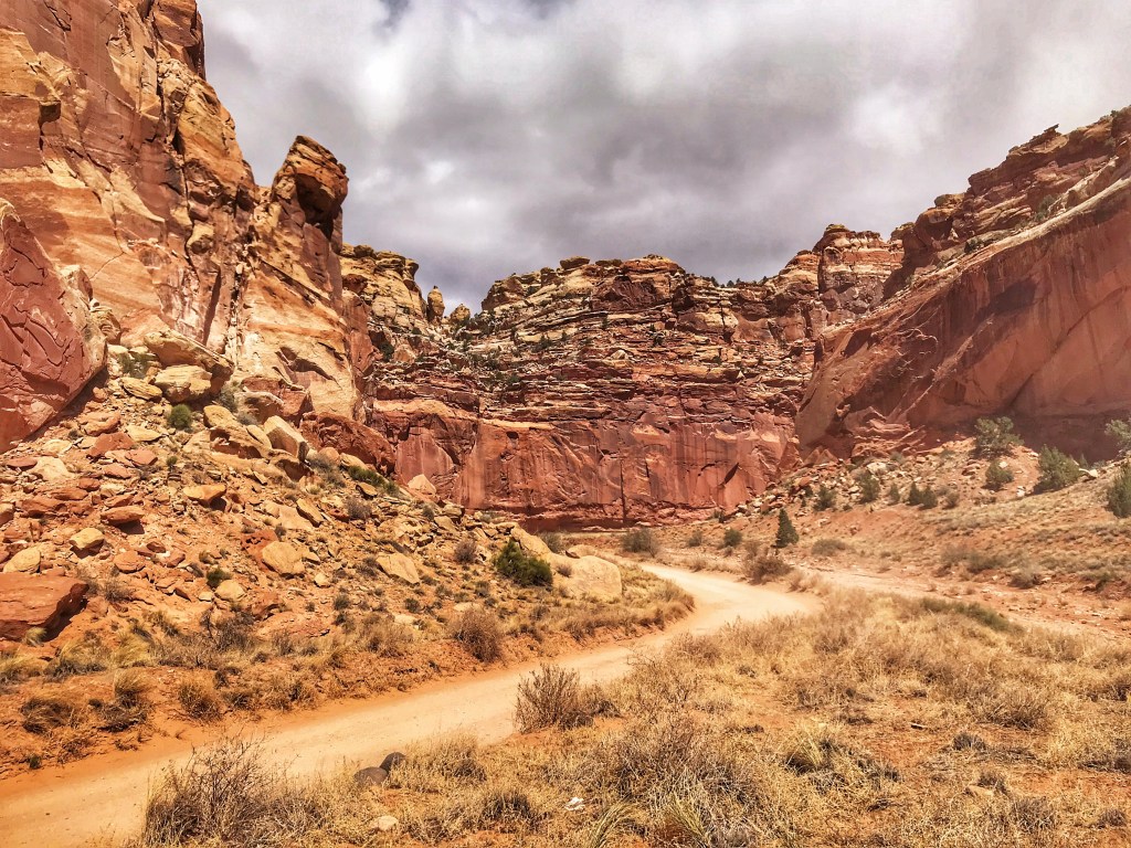
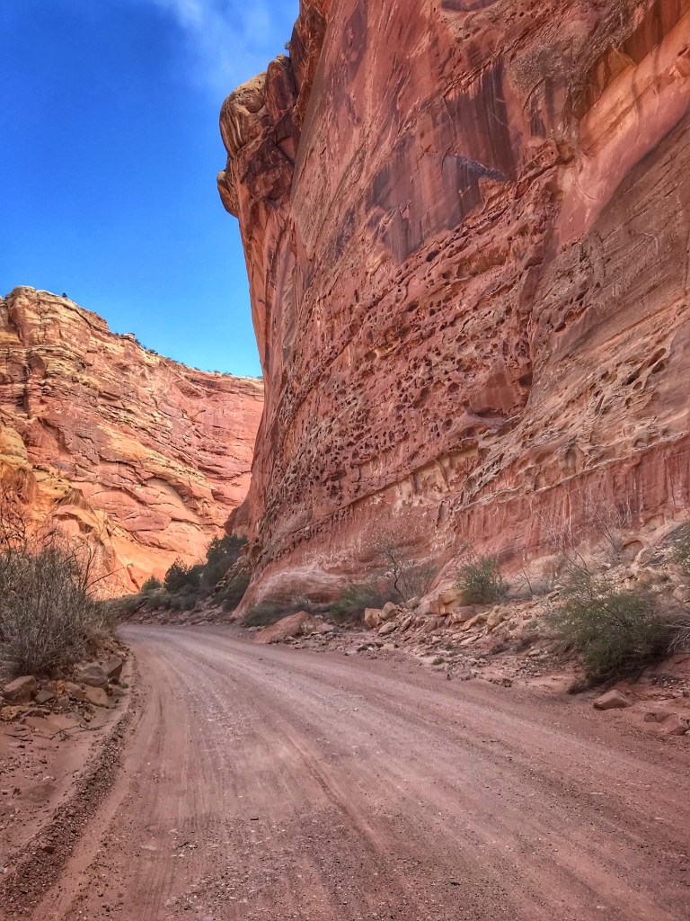
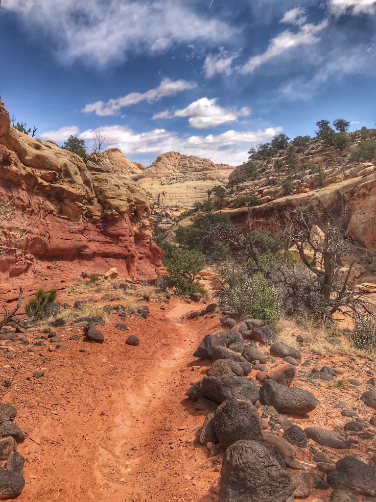
The paved scenic drive ends with a dirt road that takes you back into Capital Gorge.
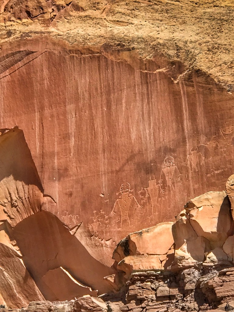
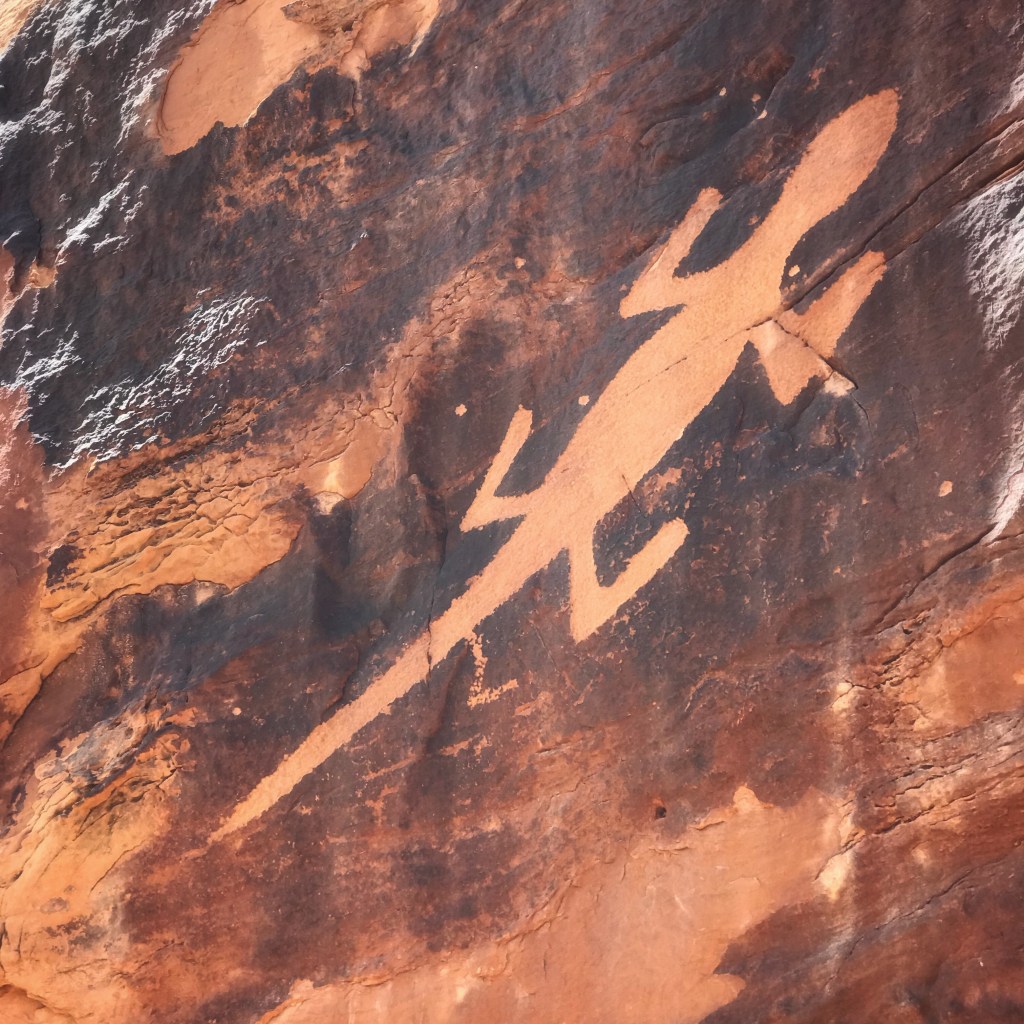
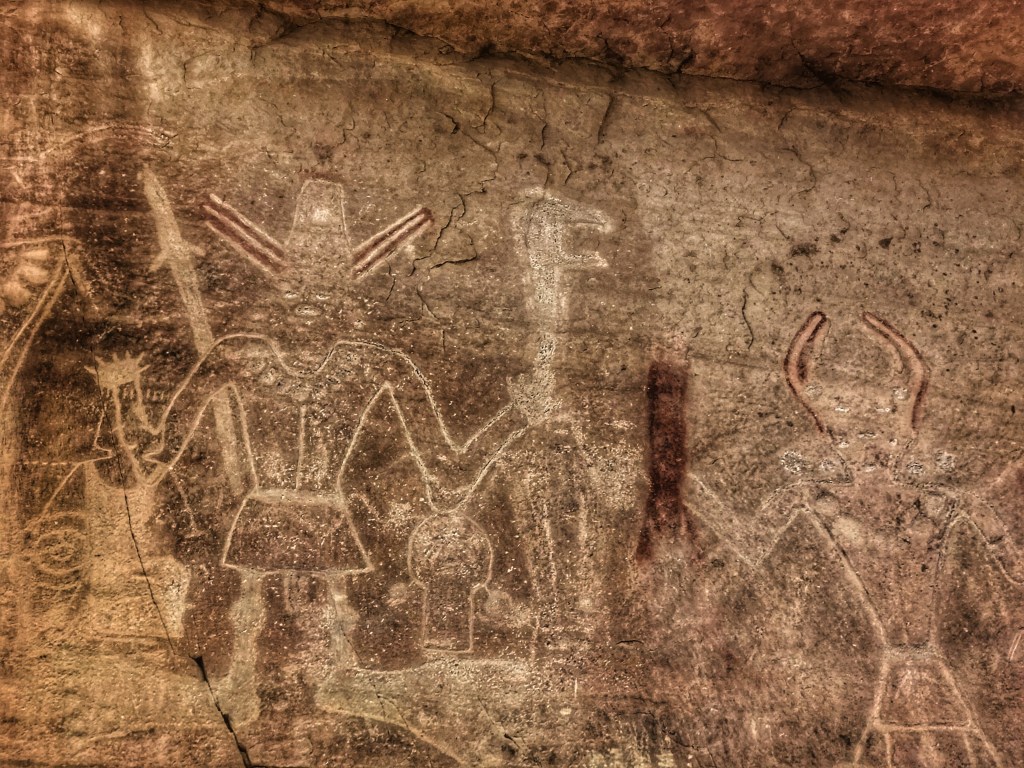
From 600 to 1300 C. E., indigenous people of the Fremont culture occupied Capitol Reef. Evidence of their presence can be seen in the petroglyphs they left behind.
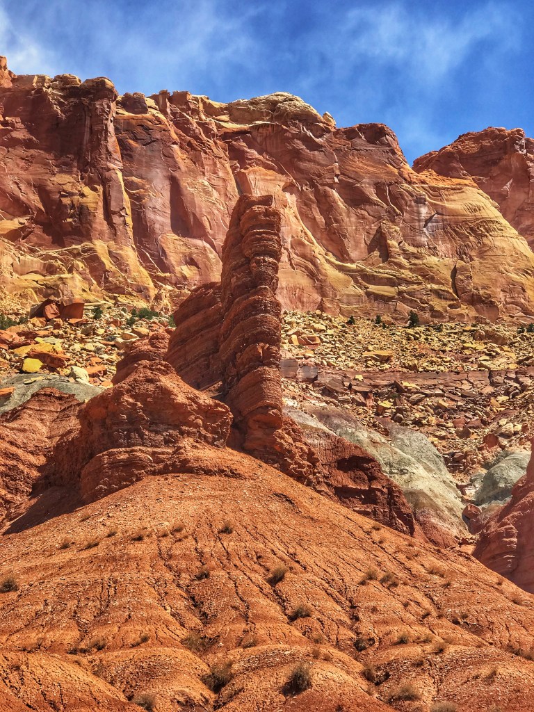
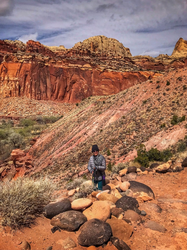
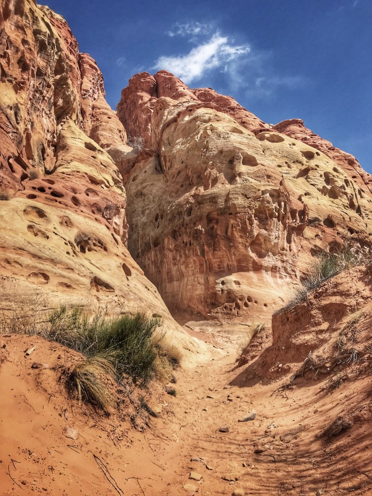
The next day the temperatures rose a bit and the wind calmed so we headed out for to hike the Cohab Canyon Trail.
A steep climb is rewarded with some great views
The trail winds along the top of a mesa to a view of the valley below.
The valley view
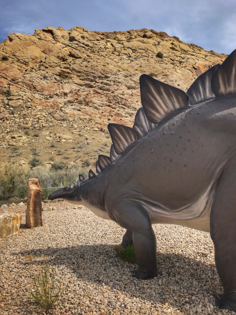
We continued north to Vernal Utah which is a few miles from the entrance of Dinosaur National Monument. This park has been on our to do list for the past three years and we were finally able to work it into a trip.
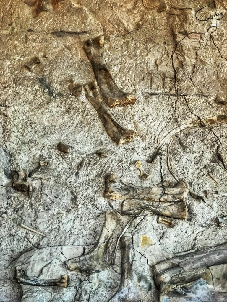
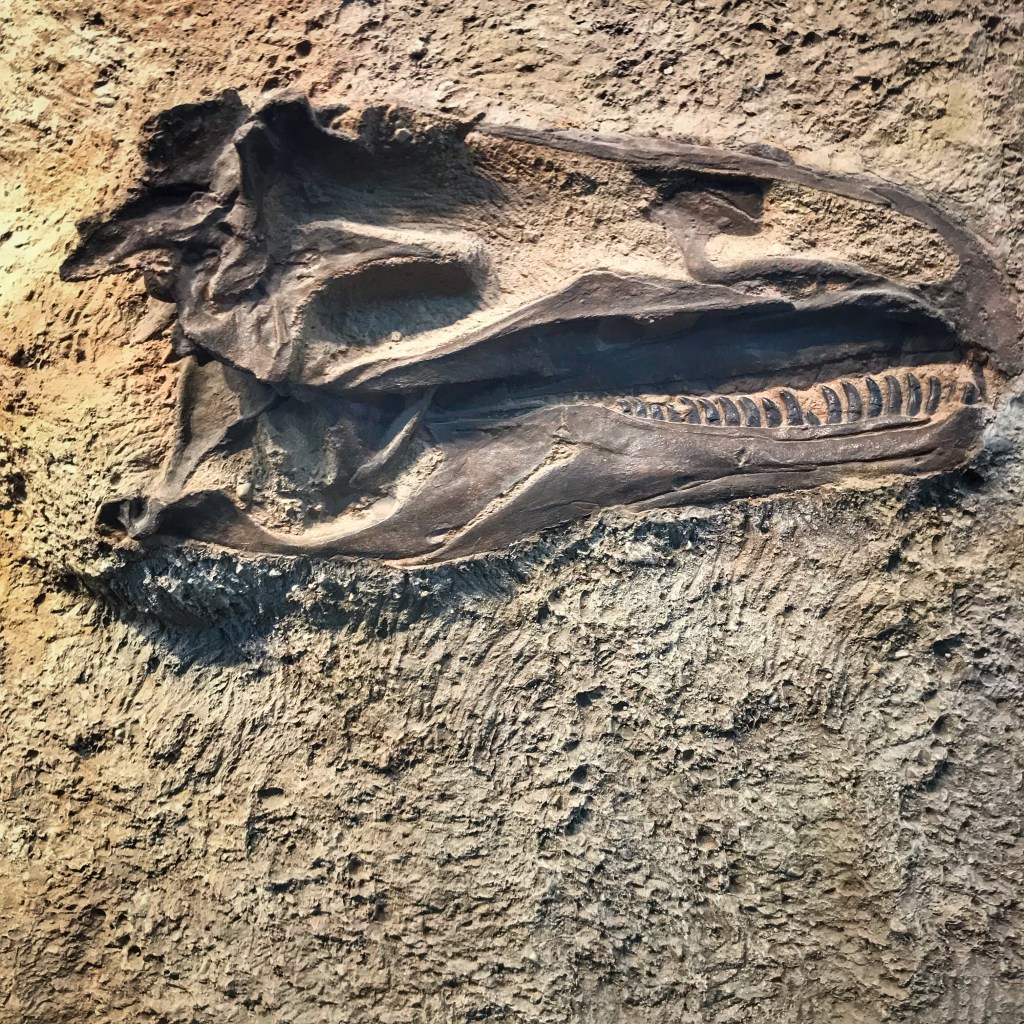
The park includes one of the richest dinosaur fossil records on Earth. The Quarry Visitors Center is built around a wall of exposed dinosaur fossils.
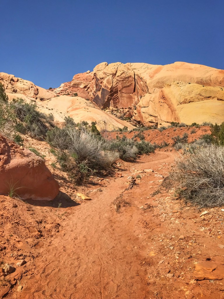
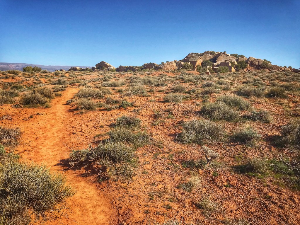
In addition to fossils, the monument also offers some great hiking. We chose the three mile Sound of Silence trail. As advertised this trail offers one of the quietest hikes in the monument.
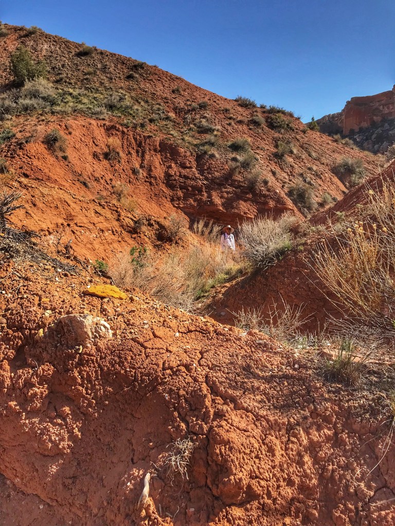
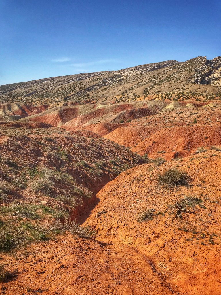
The hike begins following a sandy washThe trail snakes through the colorful Chinle Formation Eventually the trail leads you to the top of a mesa You have great views of Split Mountain from the top
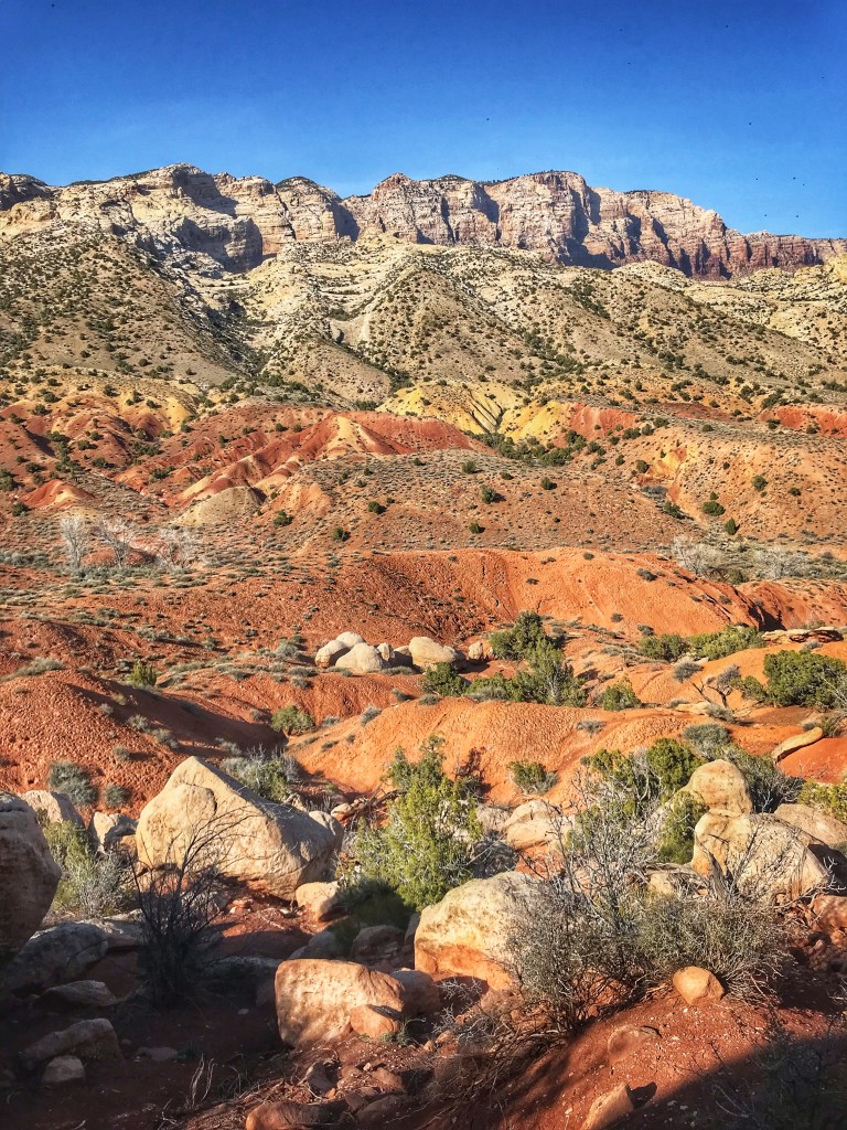
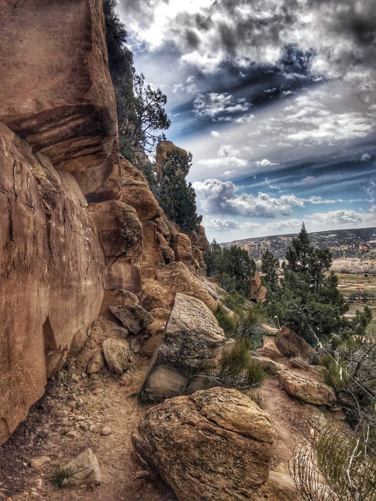
Dry Creek Canyon is located near Vernal and is home to the McConkie Ranch Petroglyphs. The trail stretches for about 3/4 of a mile along the cliffs above the ranch.
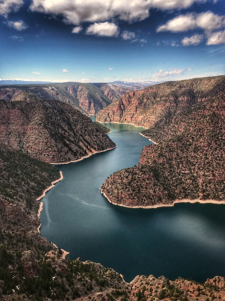
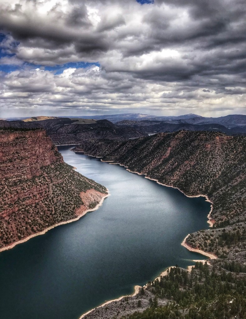
On a cold windy day we drove up to the Flaming Gorge Recreation Area to checkout the views. We weren’t disappointed.
That’s the Green RiverThe river is popular with rafters
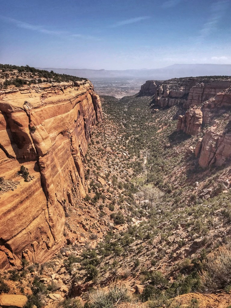
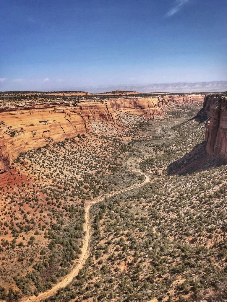
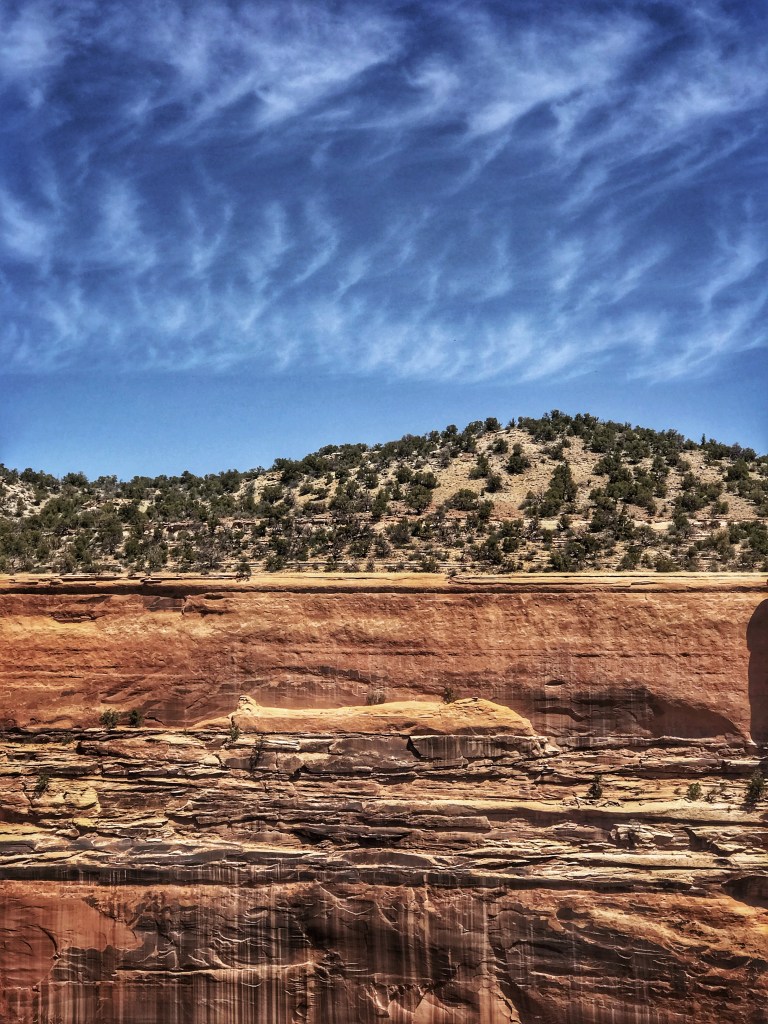
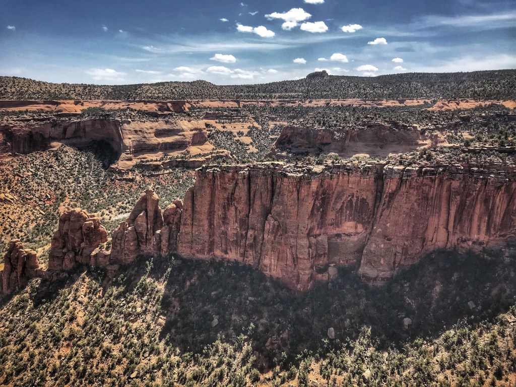
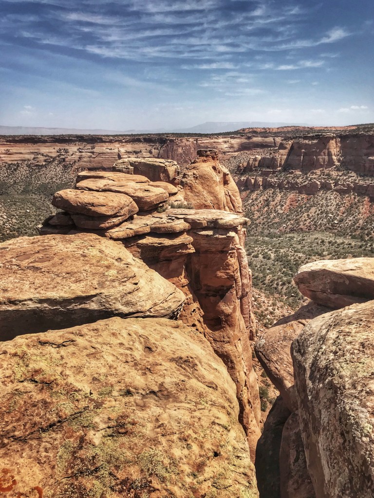
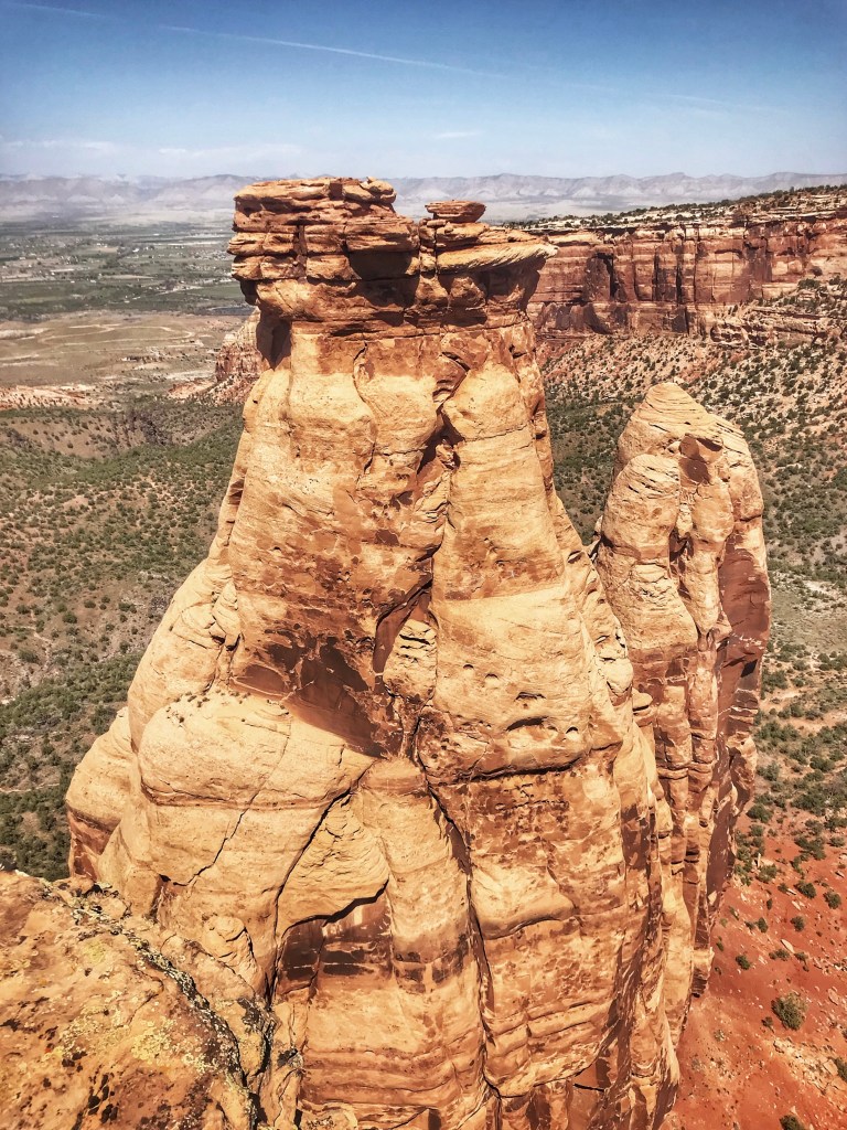
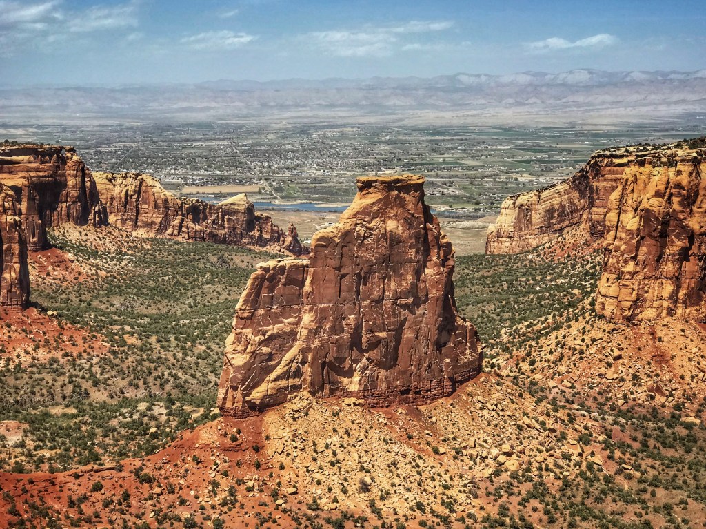
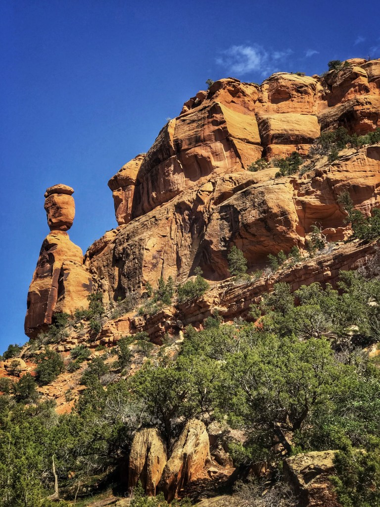
From Vernal we headed East into Colorado and Grand Junction, home to the Colorado National Monument. The monument features the 23 mile Rim Rock Drive that takes you to the top of the Colorado Plateau for stunning views of canyons and rock formations.
Artist PointMummy RockIndependence Monument Balanced Rock
It’s been a great trip but it’s time to head East and home. Of course we’ll stop in Chicago for a visit with the grandkids before we end our travels. Thanks to those of you who’ve been following along and made the occasional comment (we enjoy hearing from you). This is our last post until we head out on the highway in the fall.
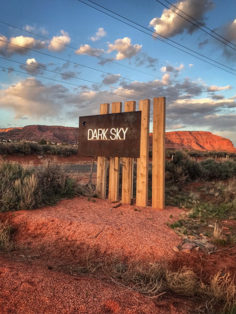
We avidly read campground reviews and are always looking for new places to stay. Just as Covid struck we started hearing about a new park in Utah. We put it on the list for our next trip out west. Dark Sky RV is a relatively new park. It is a real gem and we would highly recommend it.
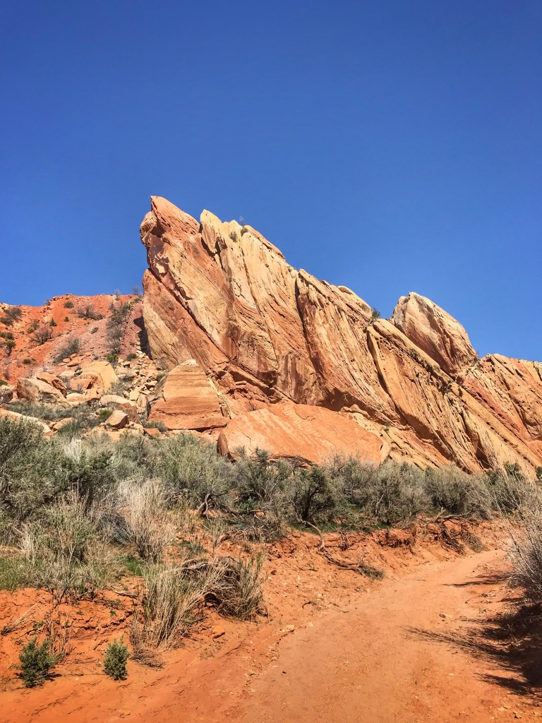
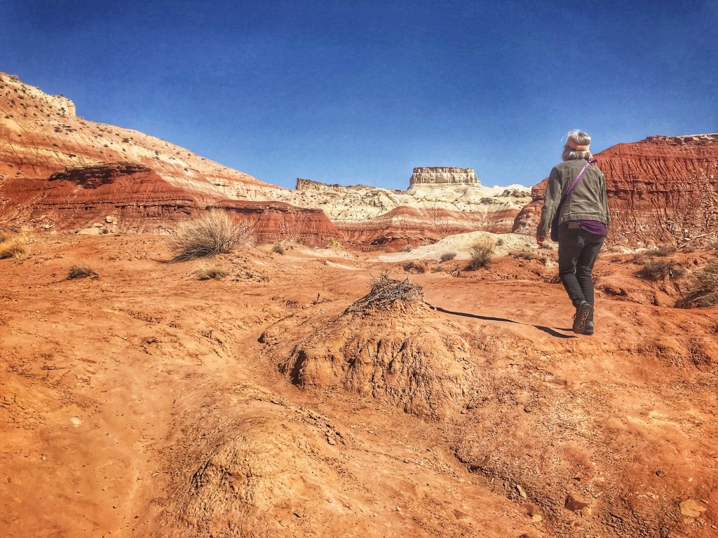
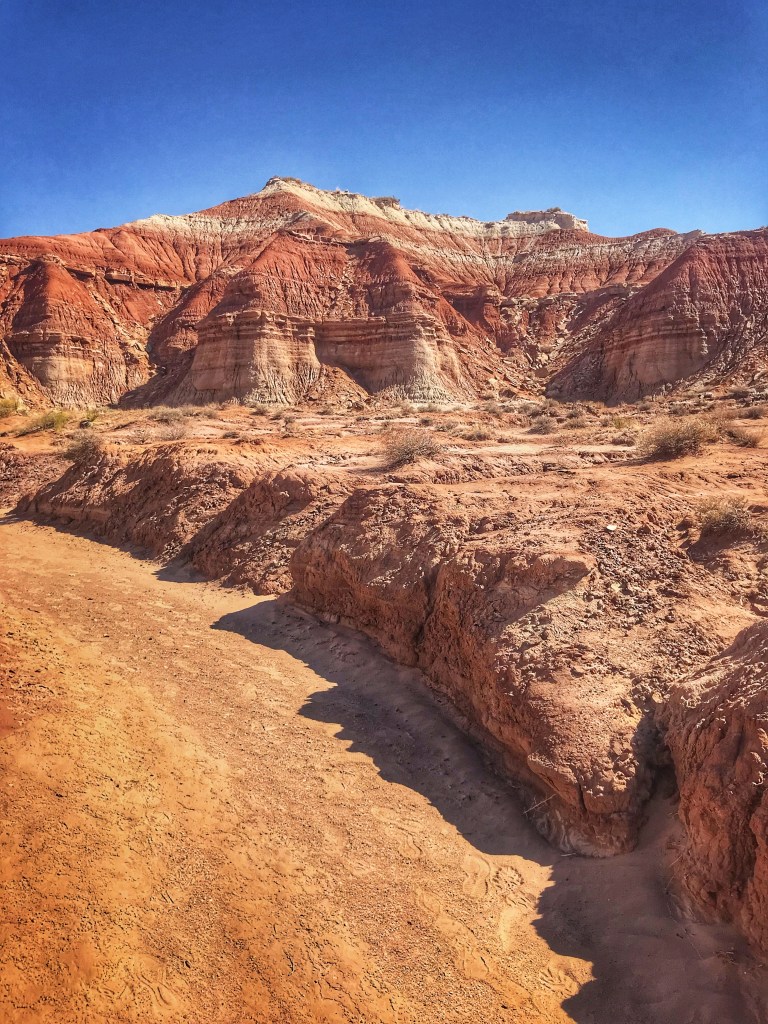
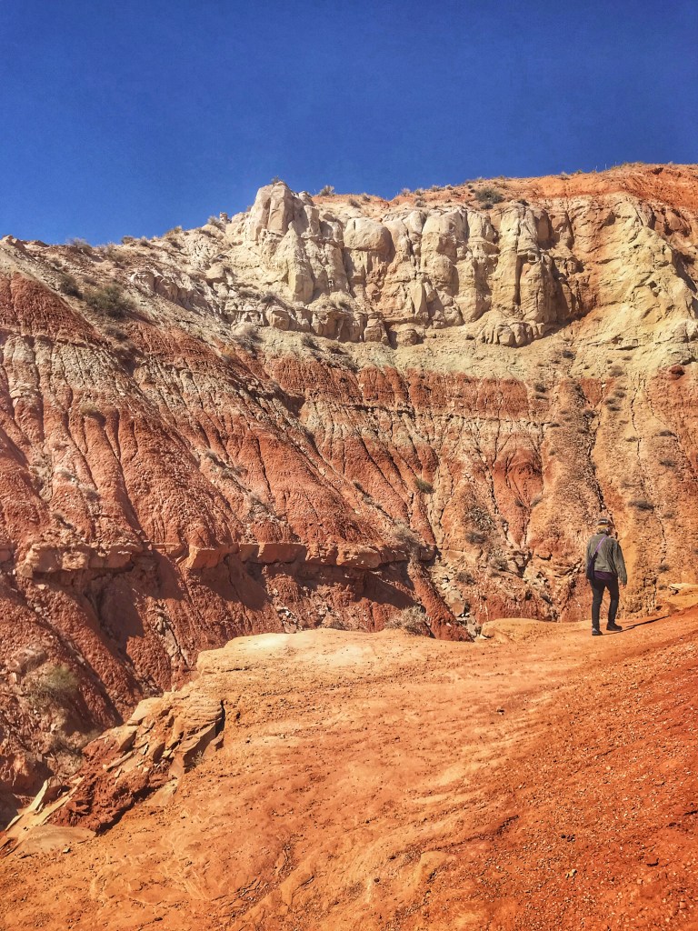
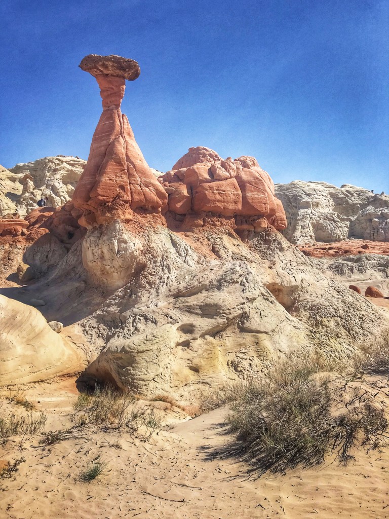
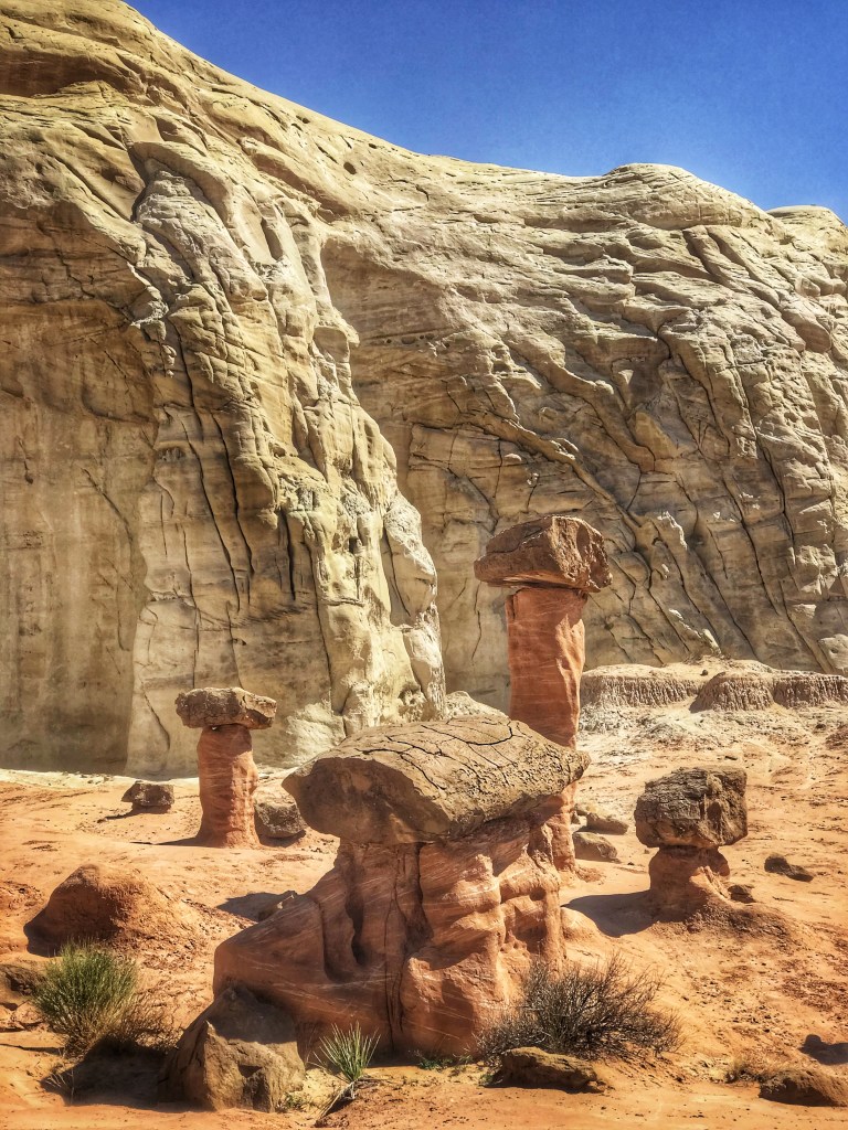
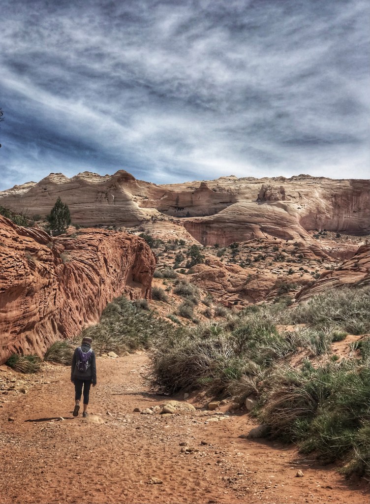
The park is just three miles outside of Kanab and close to the Grand Staircase-Escalate National Monument. After a long day of driving we picked a nearby hike to check out the Toadstool formations in the Monument.
The 1.6 mile round trip hike starts in a dry washThe Toadstools greet you at the end of the hike
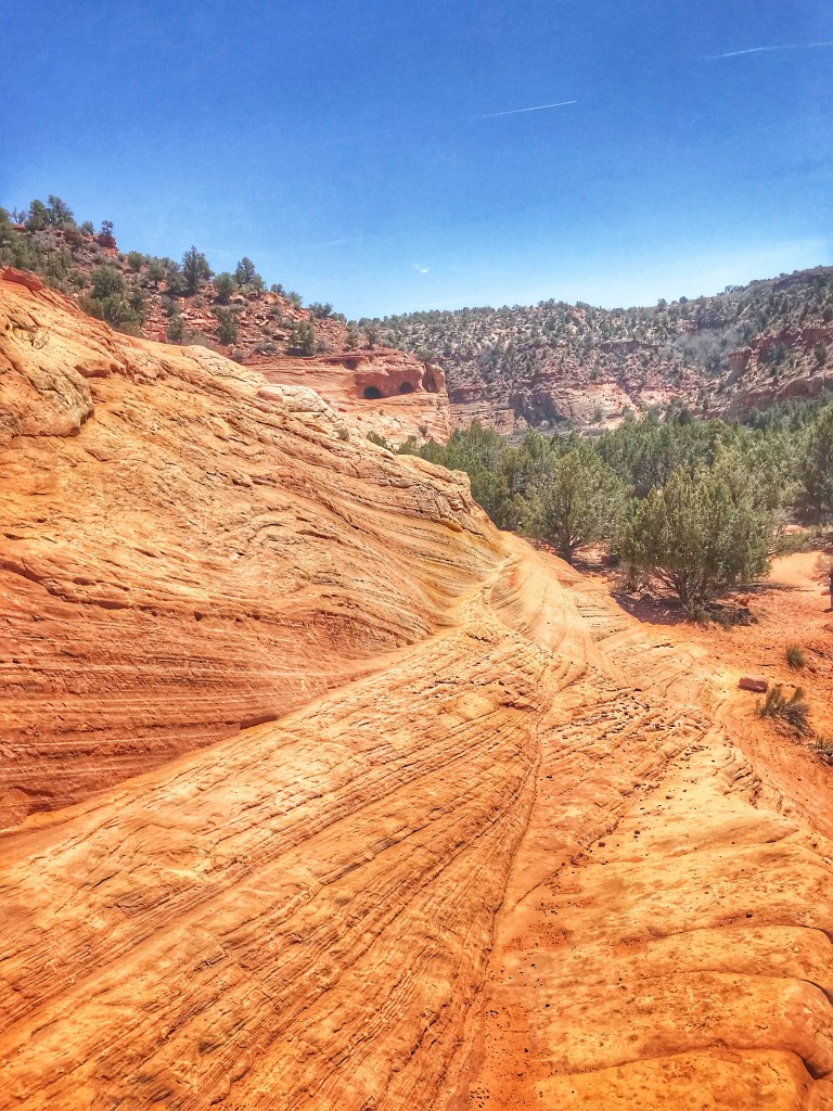
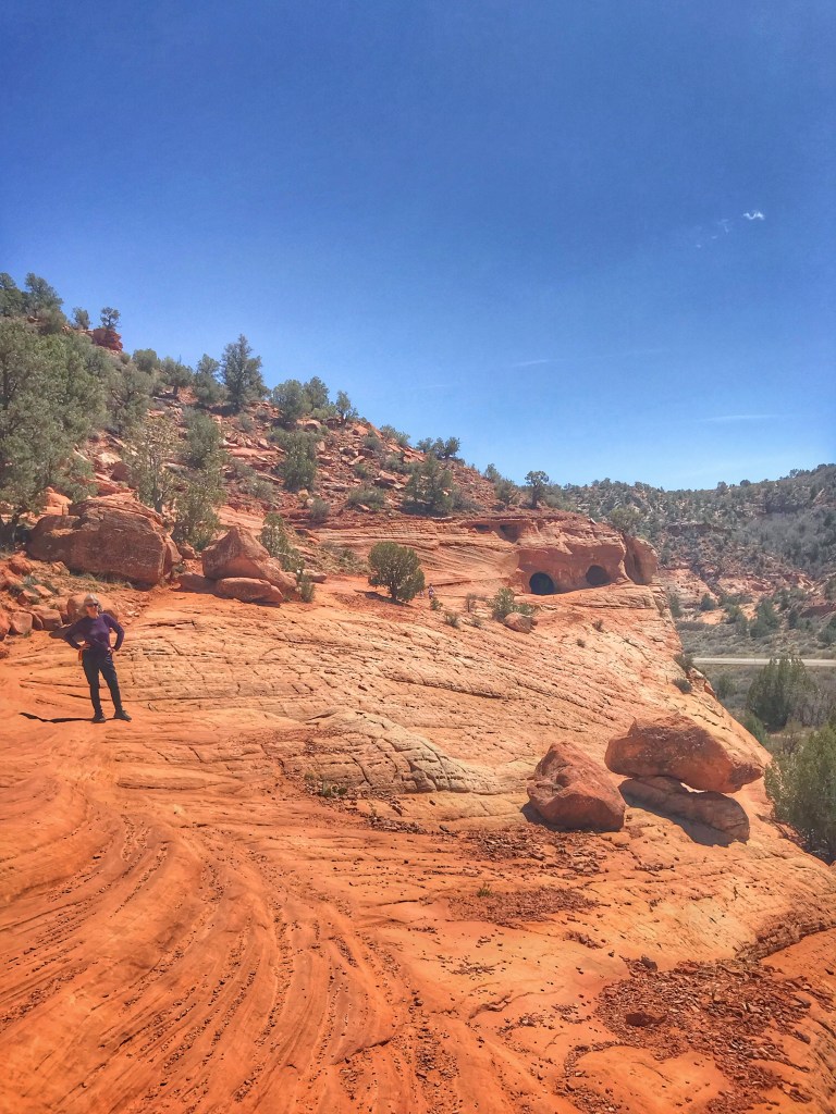
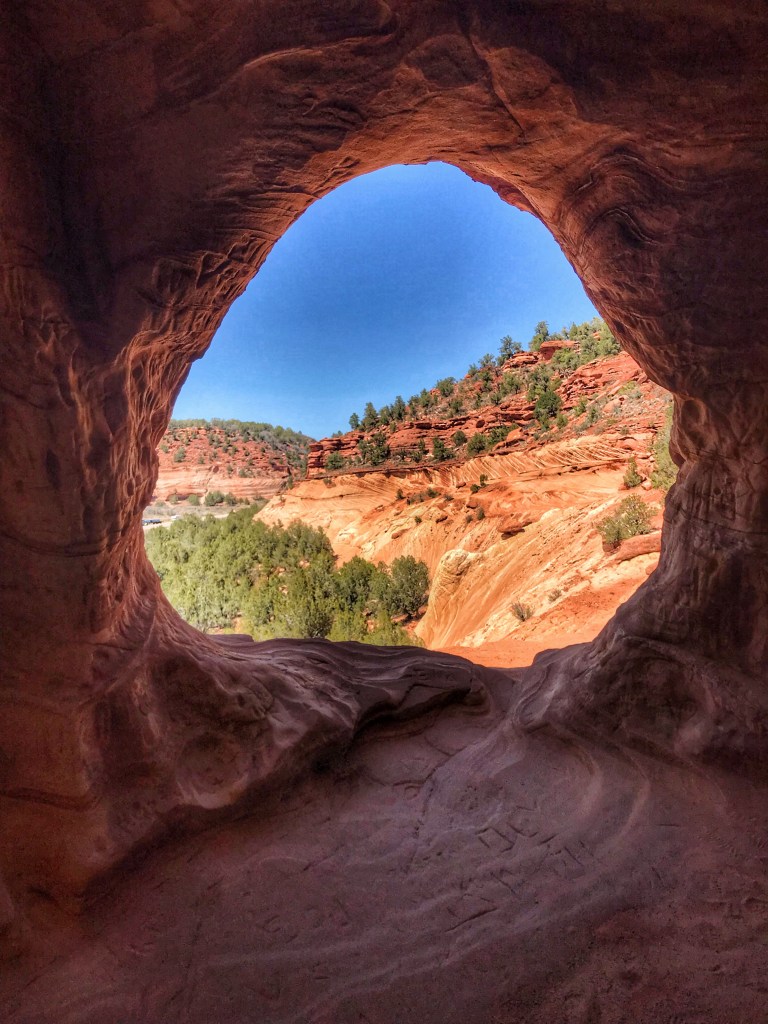
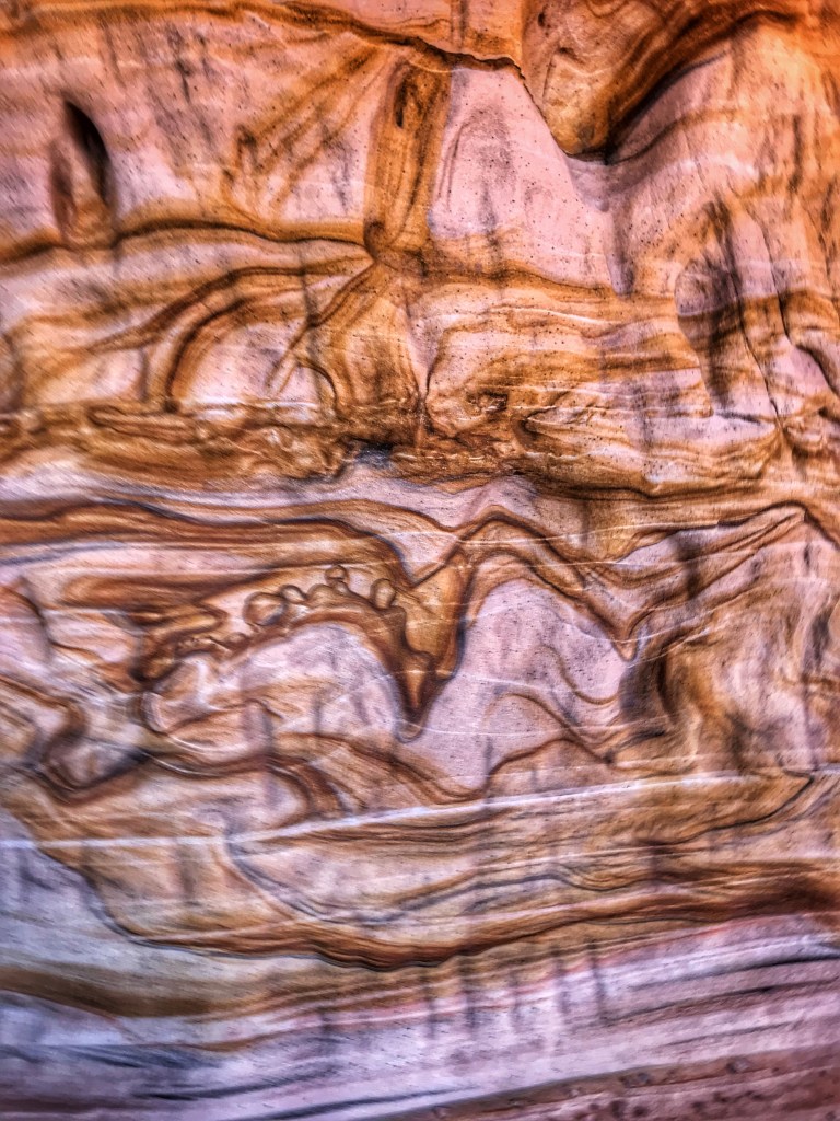
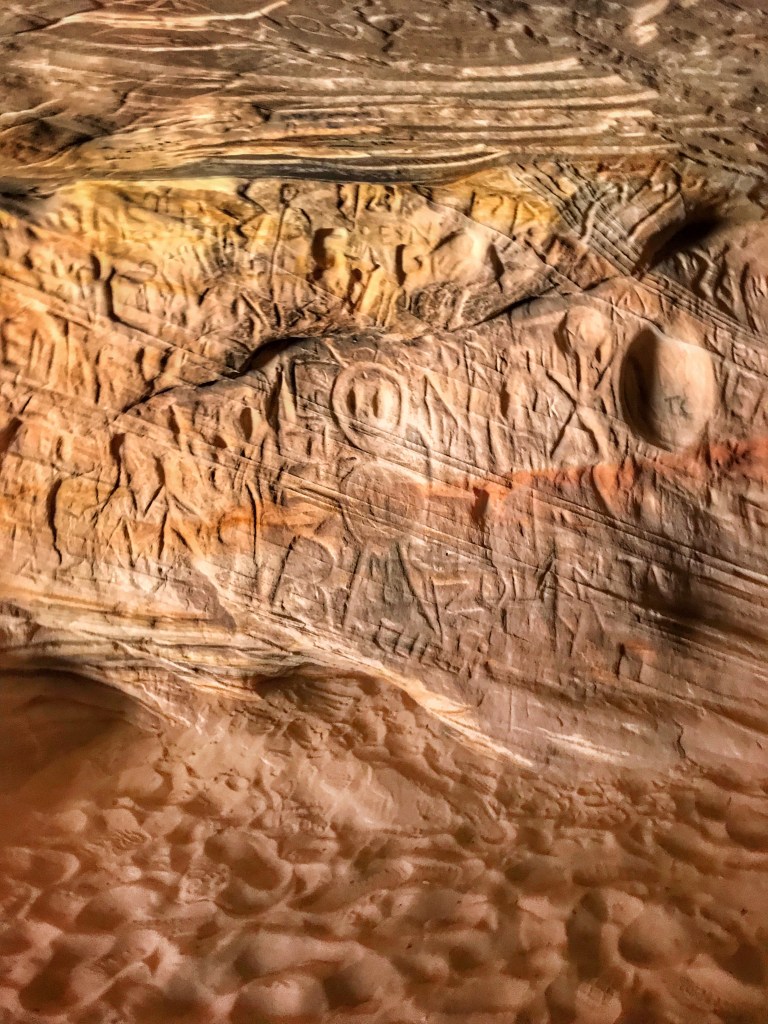
A short distance on the other side of town are some man made sand caves. The sand was being mined for glass production but have been abandoned for some time.
To access the caves you must first climb up to a sandstone ledge On the inside looking outA close upSome of the graffiti that can be found in the caves
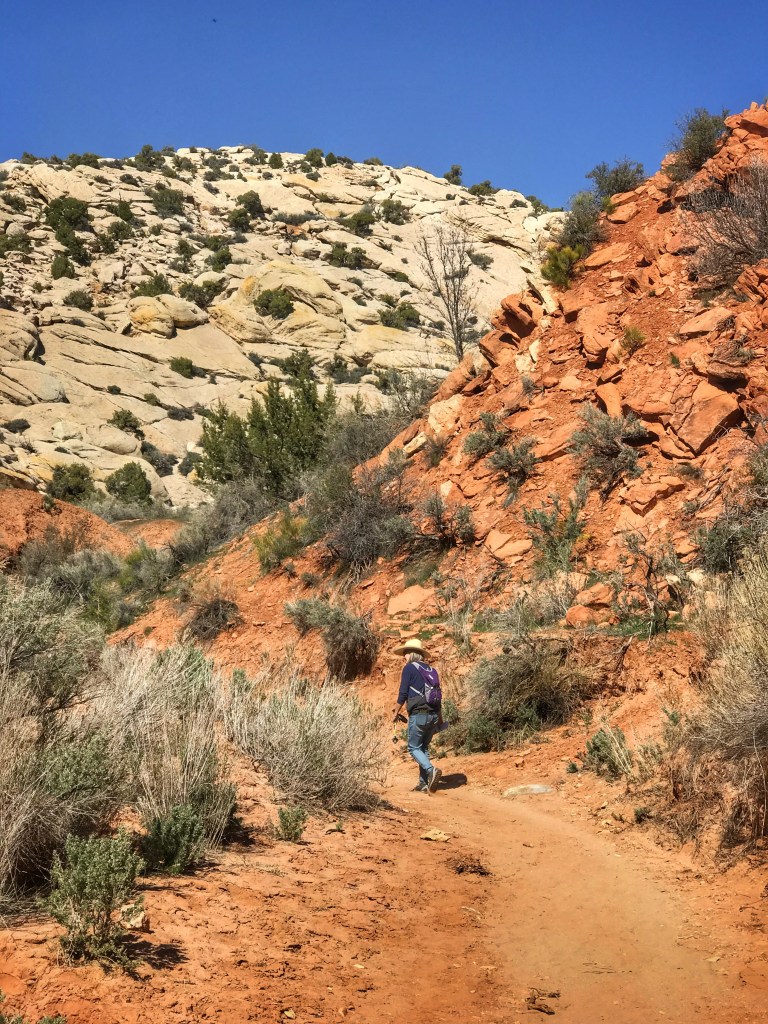
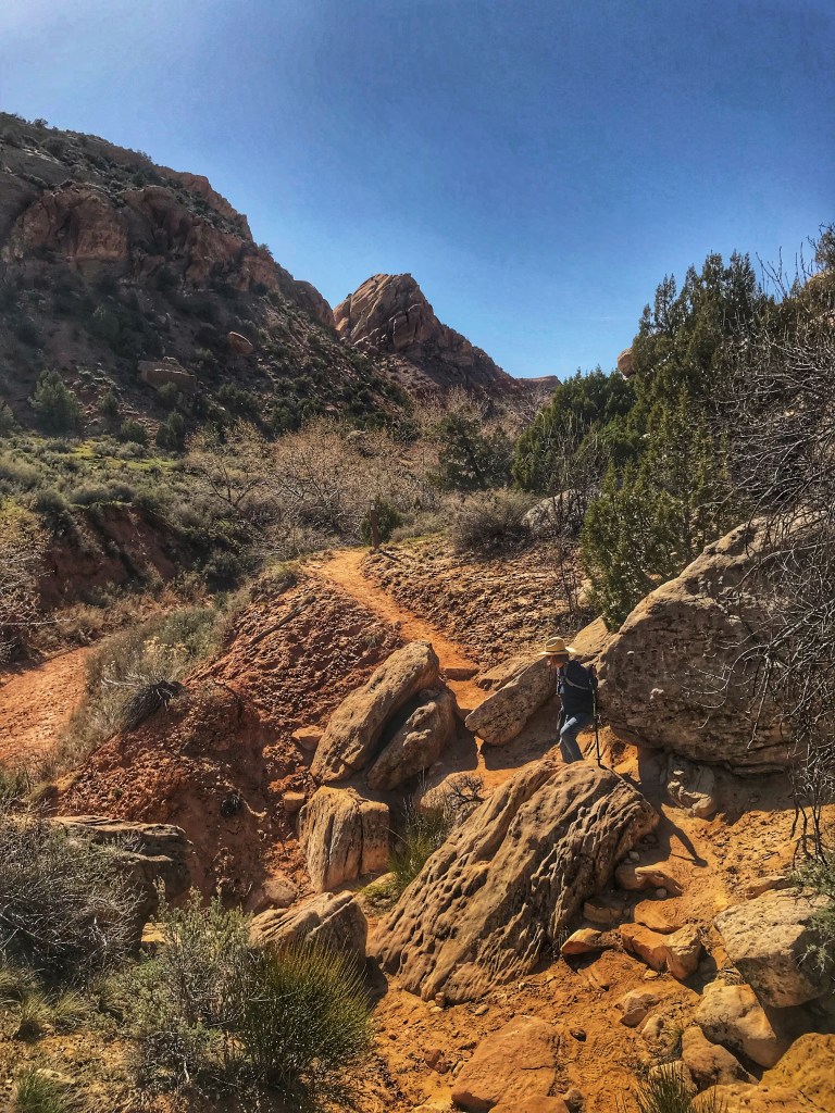
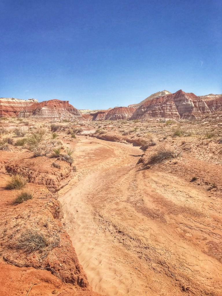
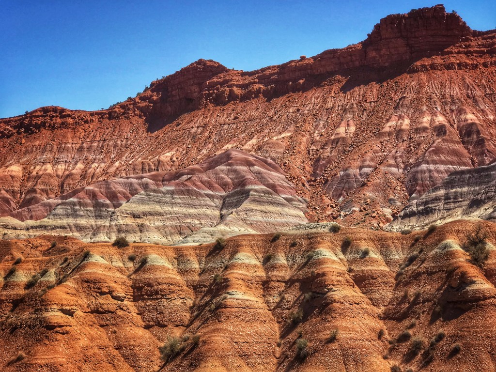
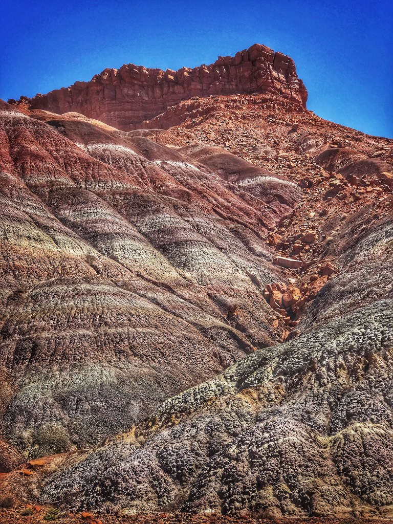
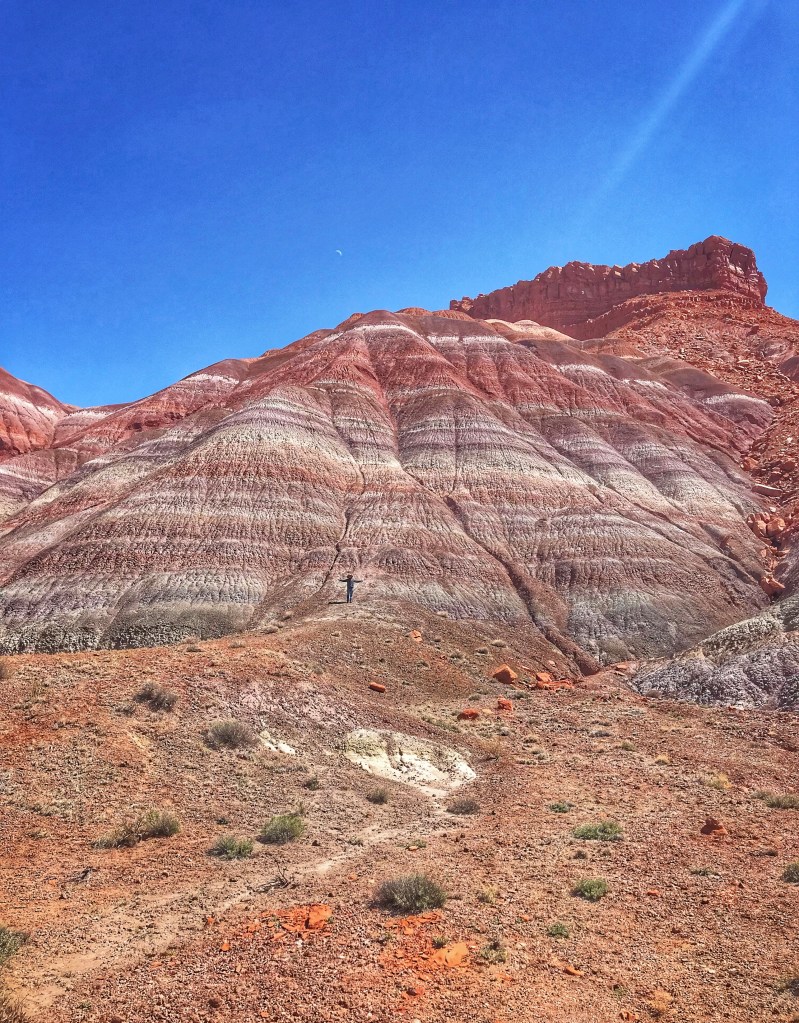
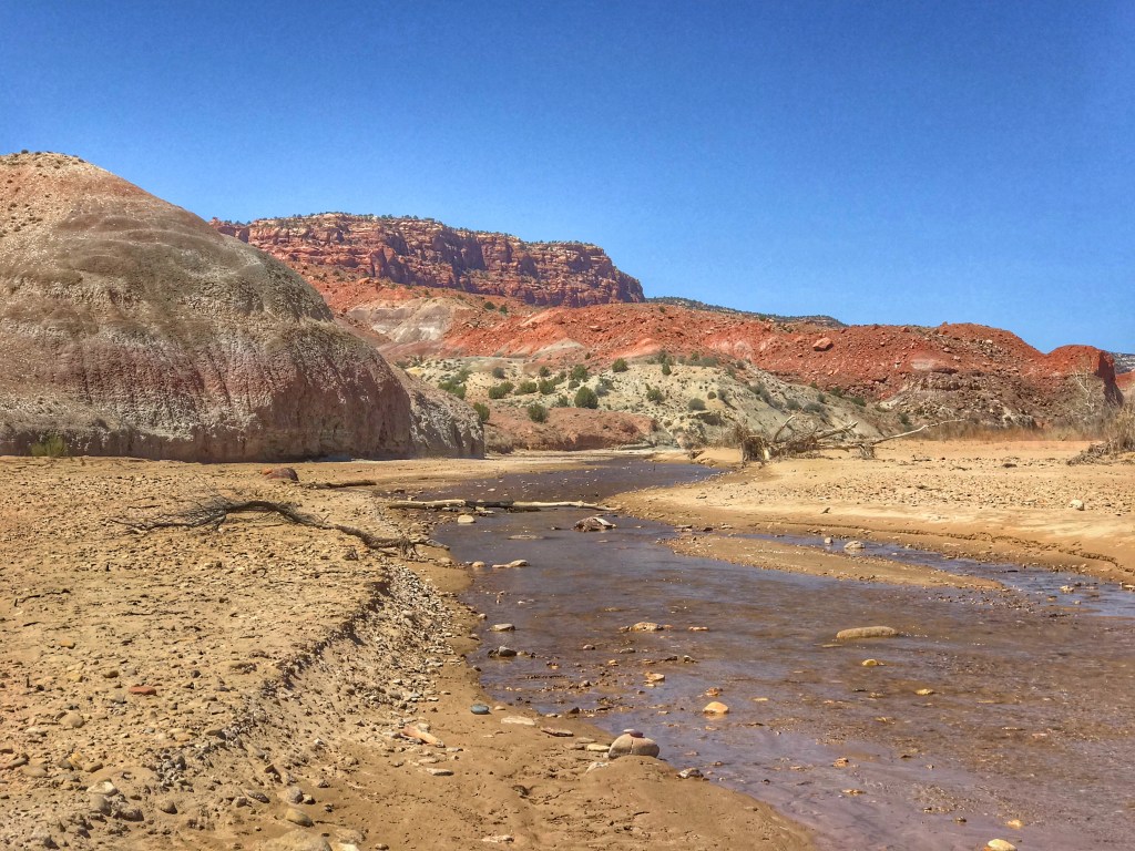
Besides hiking, the Monument offers a number of scenic drives. We chose the Paria Town Site Road.
The road offers expansive views of the Paria BoxFind ShellyThe road ends at the Paria River
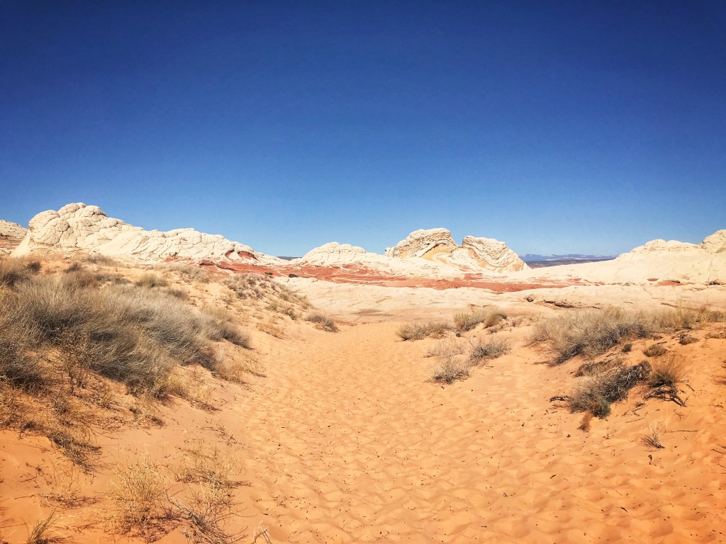
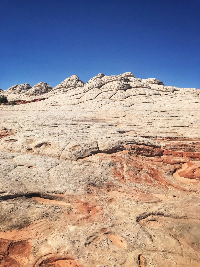
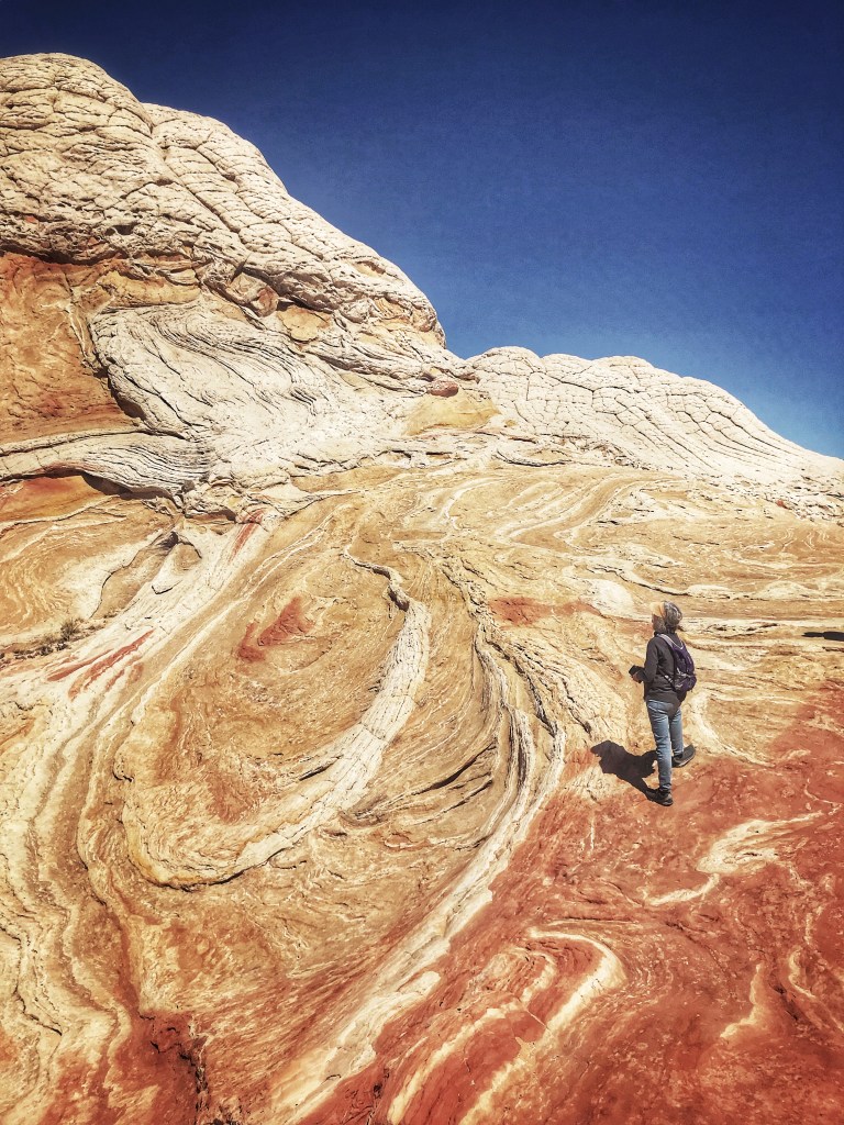
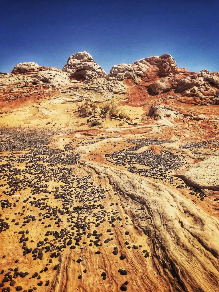
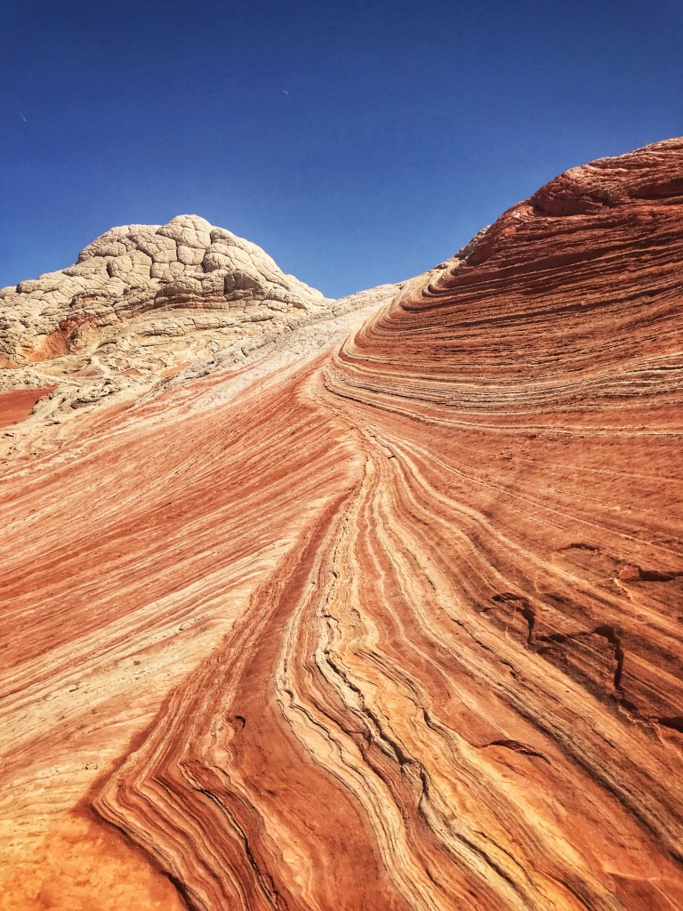
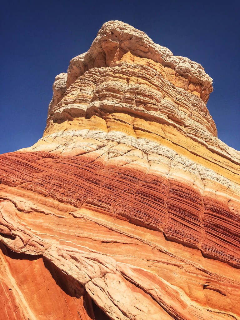
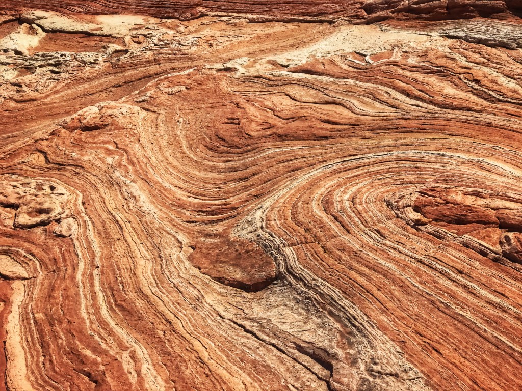
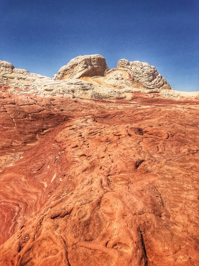
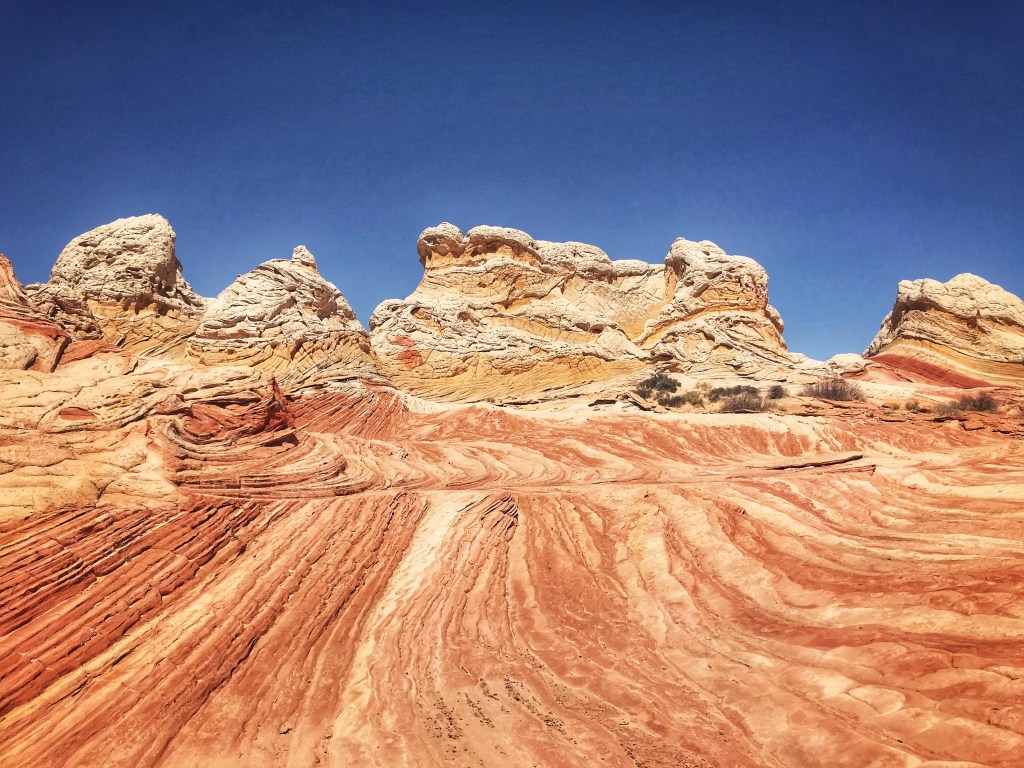
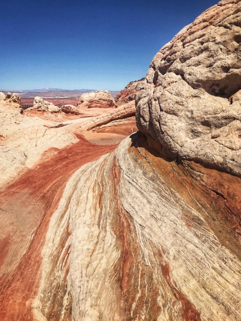
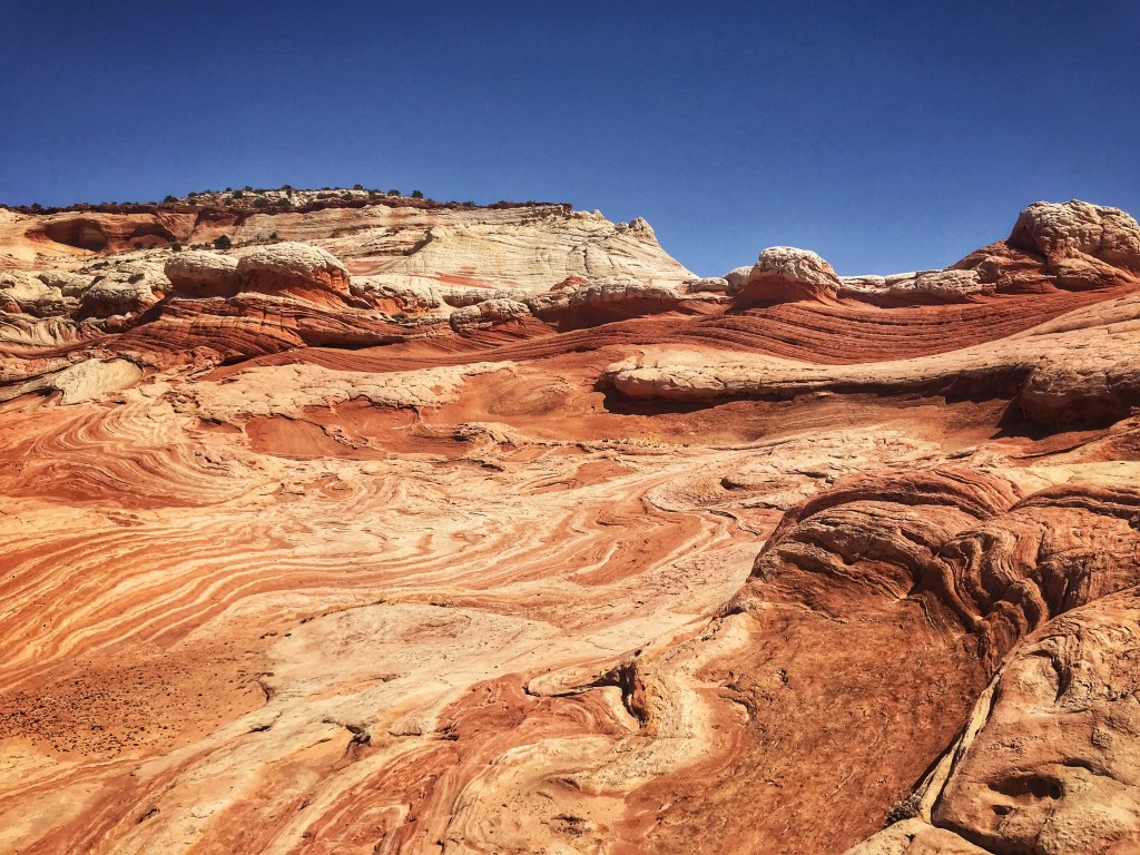
The Grand Staircase-Escalante Monument has a number of unique geological features. They are often in remote and difficult to reach areas of the Monument. We hired a guide for the day to take us back along deep sandy roads to visit “The White Pocket “ formation. We spent over 3 hours exploring this 1 square mile area.
Approaching “The White Pocket “The black stones are Moqui Marbles (sandstone coated by a layer of iron oxide)
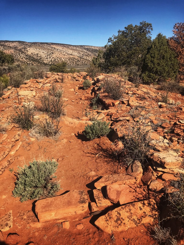
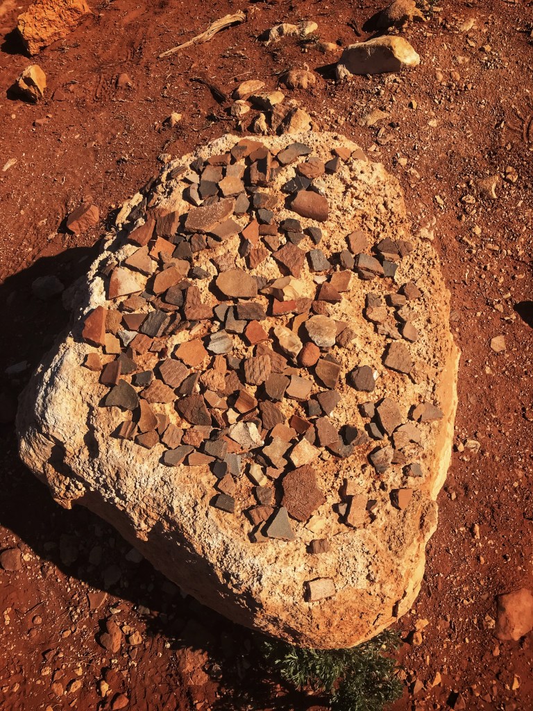
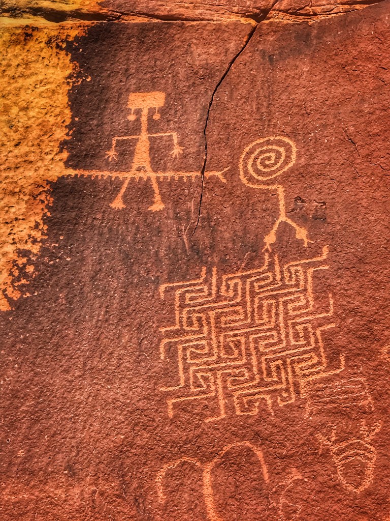
Our guide Mike from Dreamland Safaris did a great job explaining the geology and history of the indigenous people in the area. We visited the remains of an ancient Pueblo and an unusual panel of petroglyphs.
Pottery shards and napped stone littered the site
We also had time to visit the Maze Petroglyphs and it’s unusual two headed snake attempting to enter a maze.
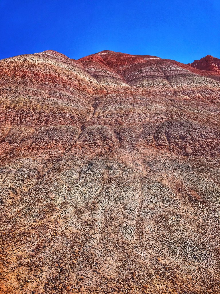
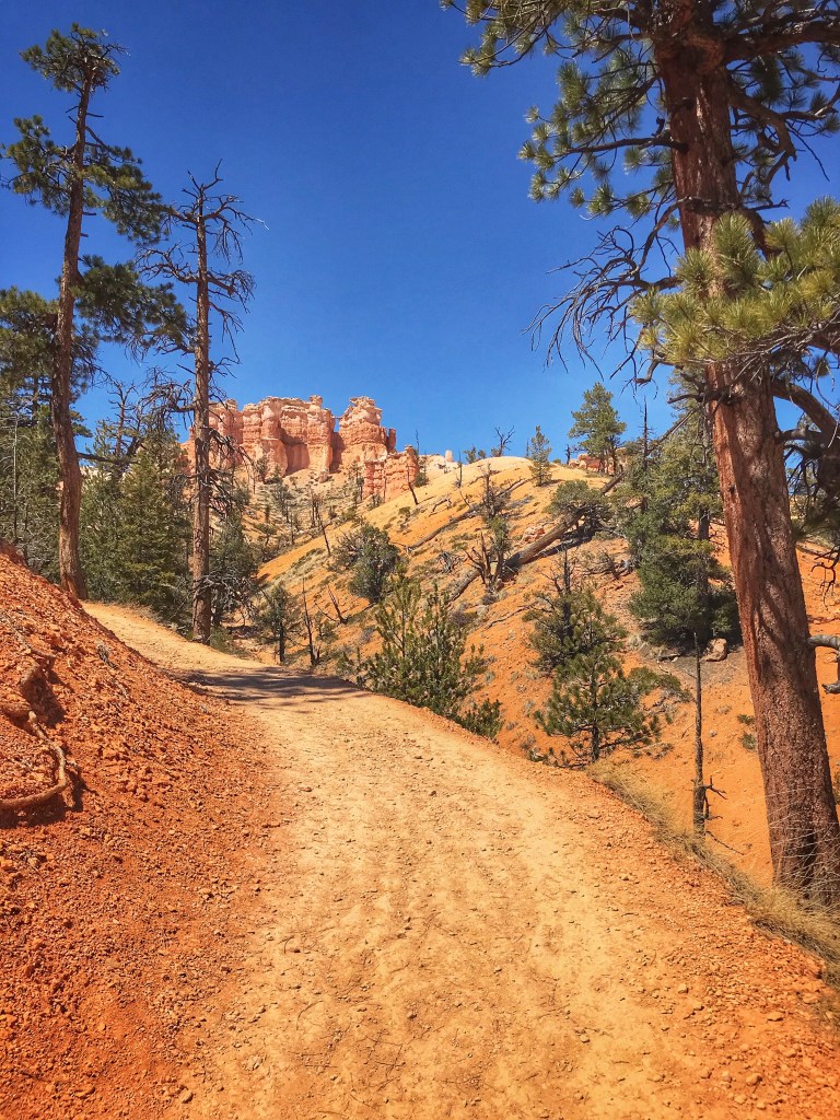
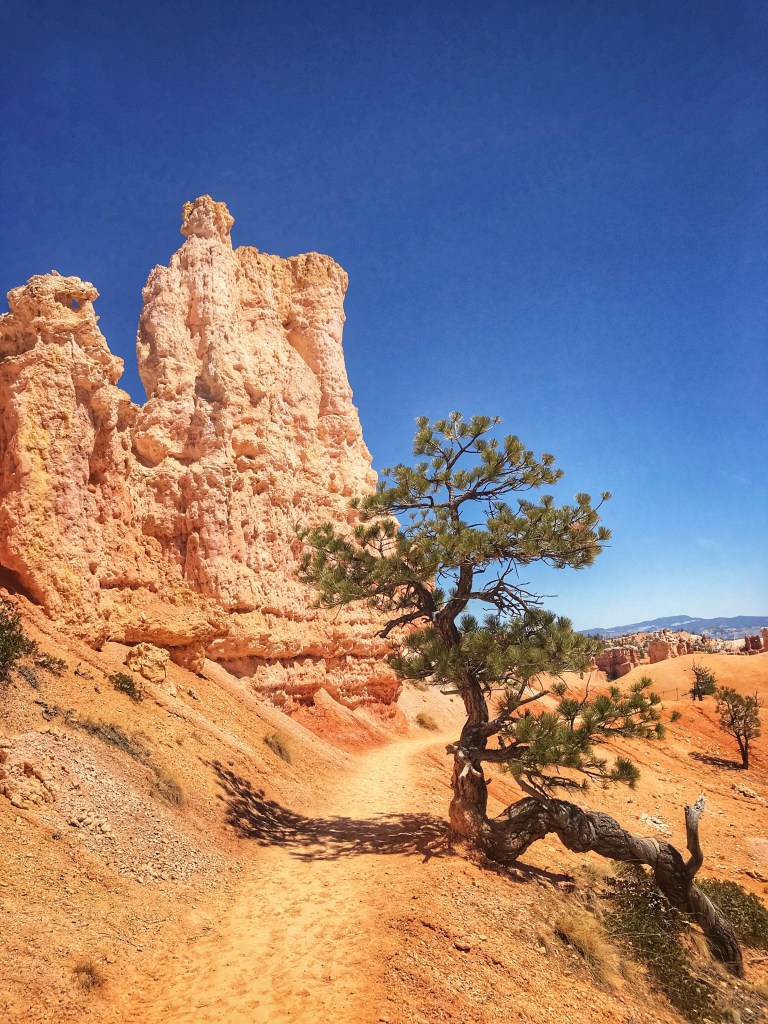
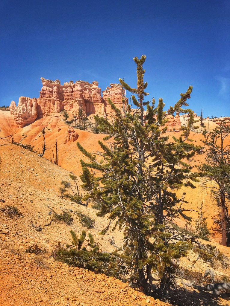
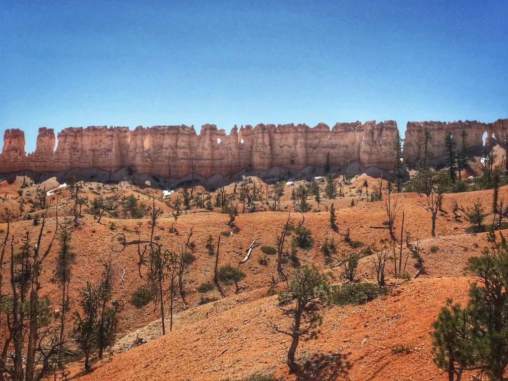
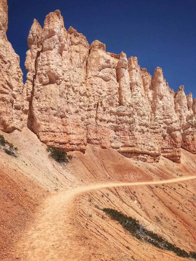
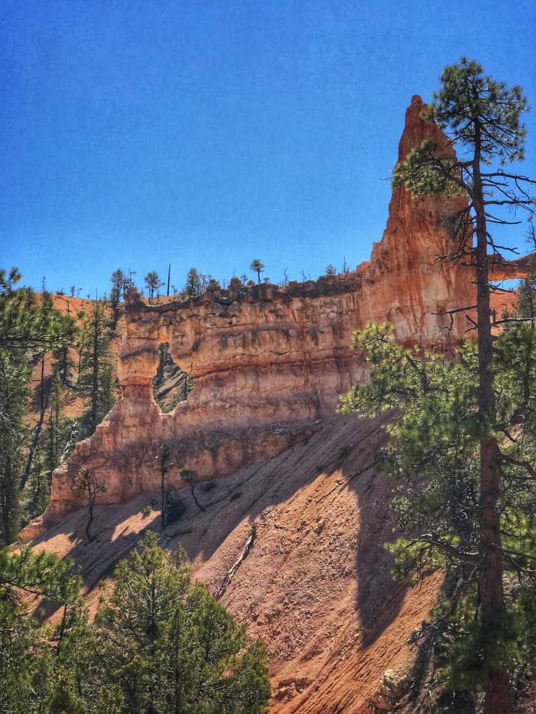
We remember Bryce as a beautiful canyon all dressed up in shades of cream, orange and accessorized with deep green pines. Our location in Kanab put us in position for a day trip to hike one of the jaw dropping trails.
We chose to hike part of the “Fairy Land” trail to the “Tower Bridge” rock formation. This trail is less populated then many of the other trails.
A Bristlecone Pine along the trail The Chinese Wall It’s a 1.7 mile hike down to the Tower Bridge formation
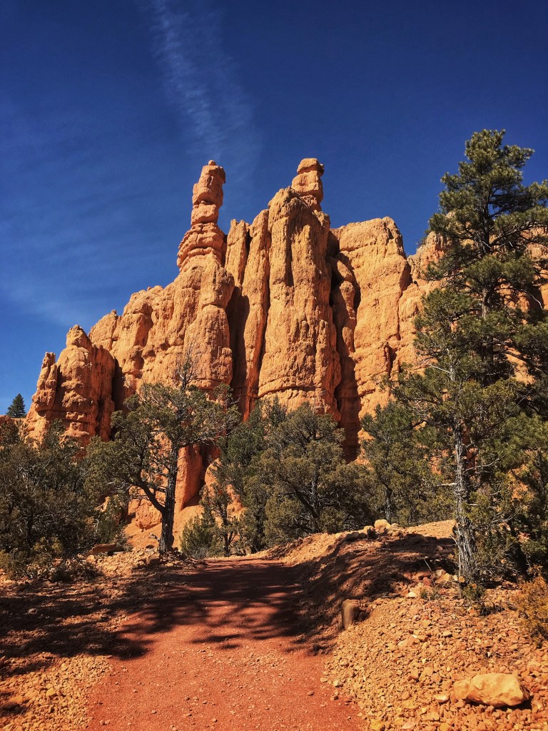
The road to Bryce Canyon takes you by the Forest Service park Red Canyon. We’ve passed it a few times but have never stopped. That changed this trip. A short hike got us to “Salt and Pepper “, two of the park’s hoodoos.
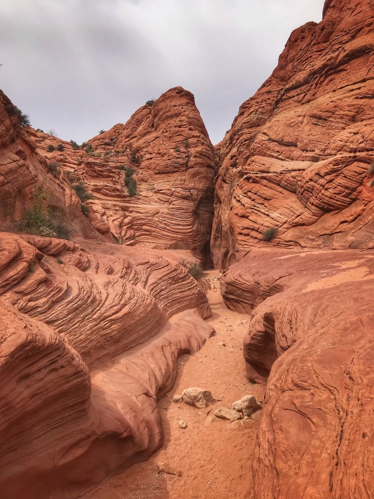
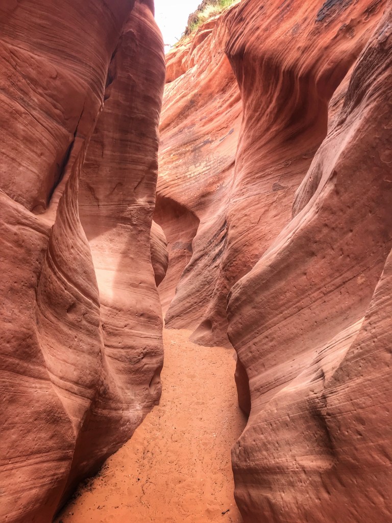
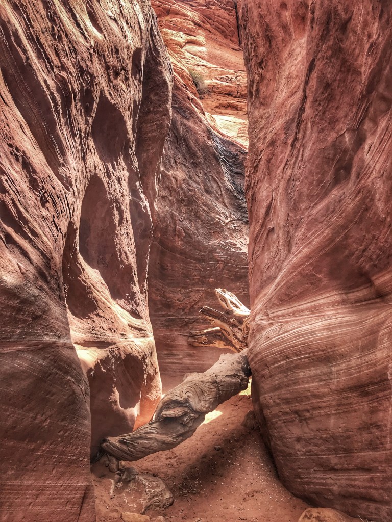
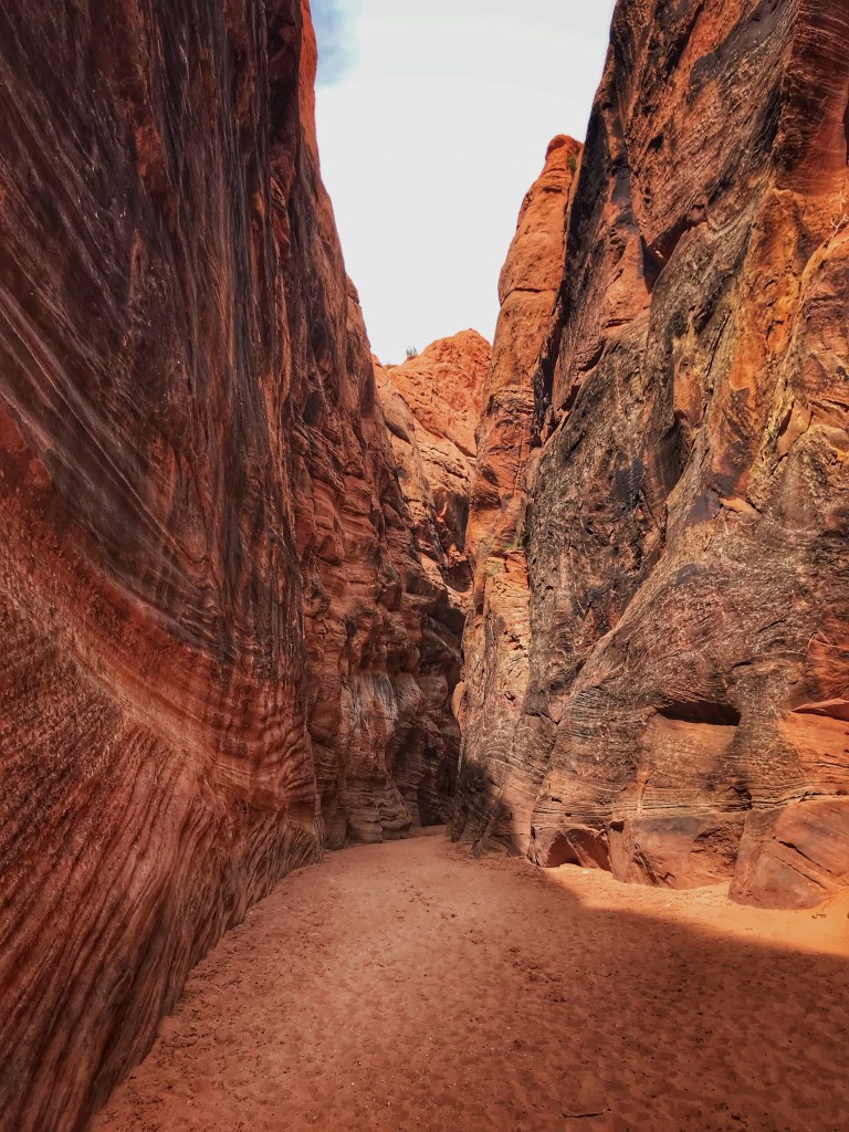
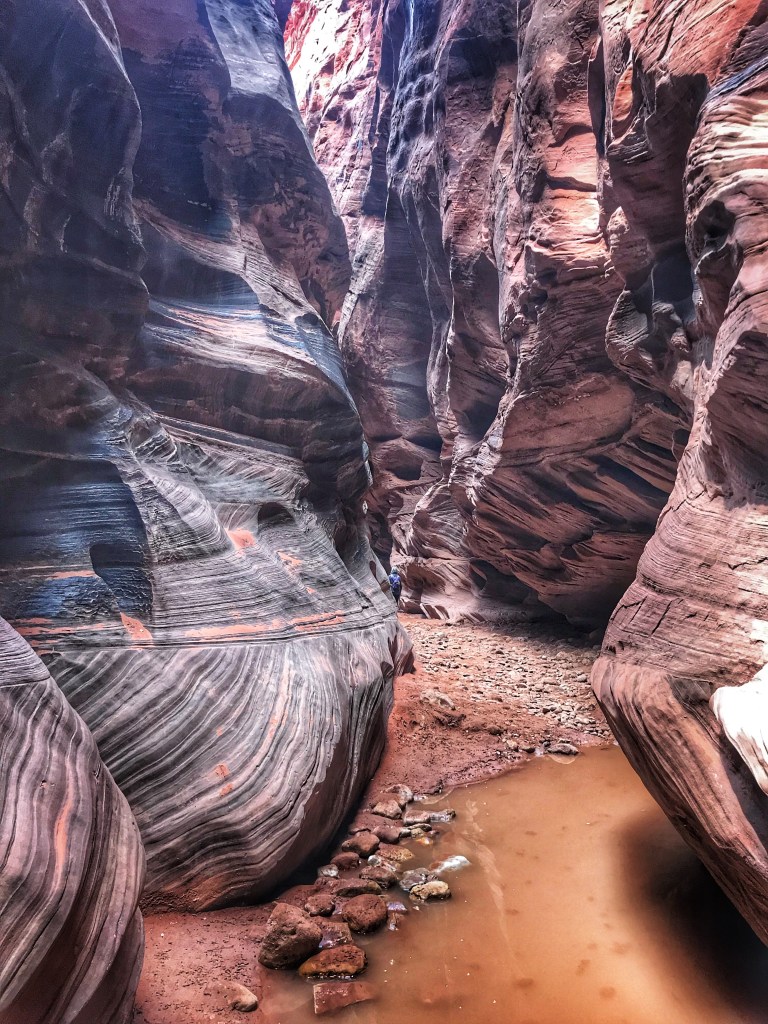
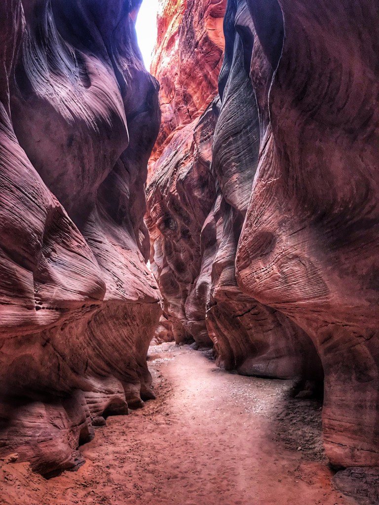
Our day at Bryce Canyon and Red Canyon necessitated a day of rest before heading out to hike the southwest’s longest and deepest slot canyon, Buckskin Gulch. We approached it by way of Wire Pass another slot canyon.
A walk down a sandy wash takes you to the entrance of Wire PassThe way into Buckskin Gulch Water in the canyon required careful navigation
After another day in the beauty that is Southern Utah we headed back to Dark Sky RV.
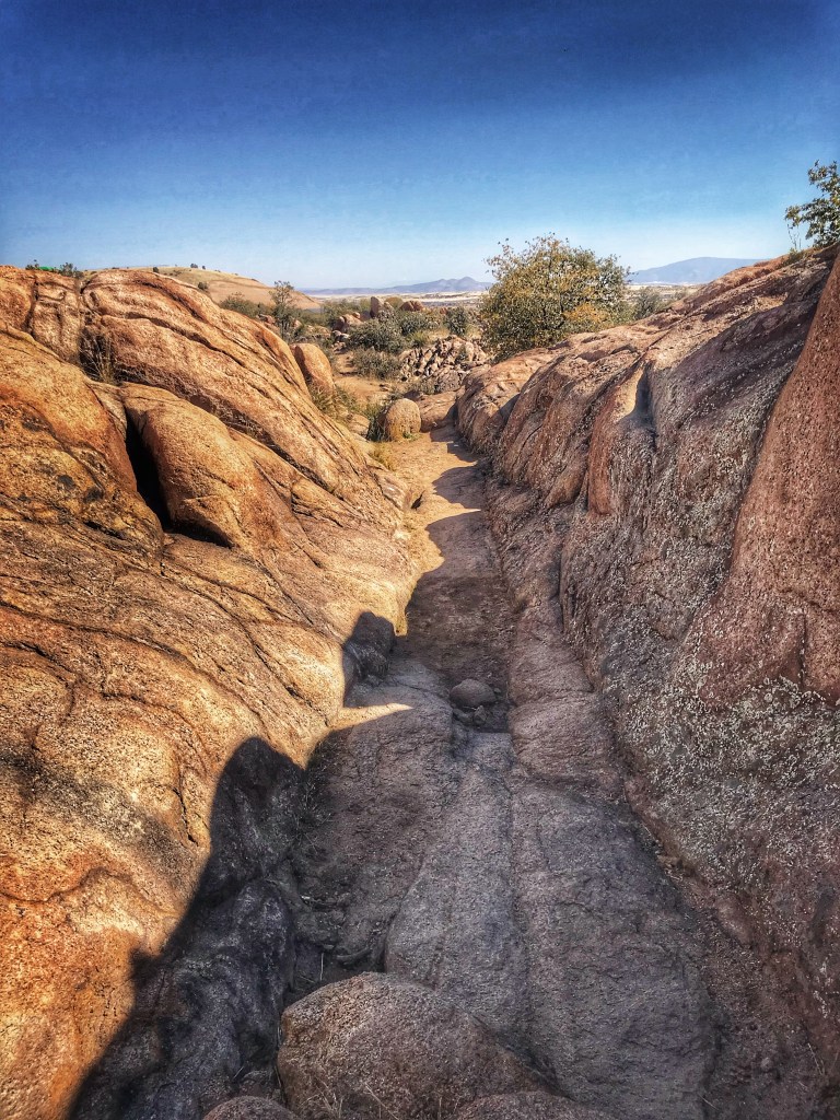
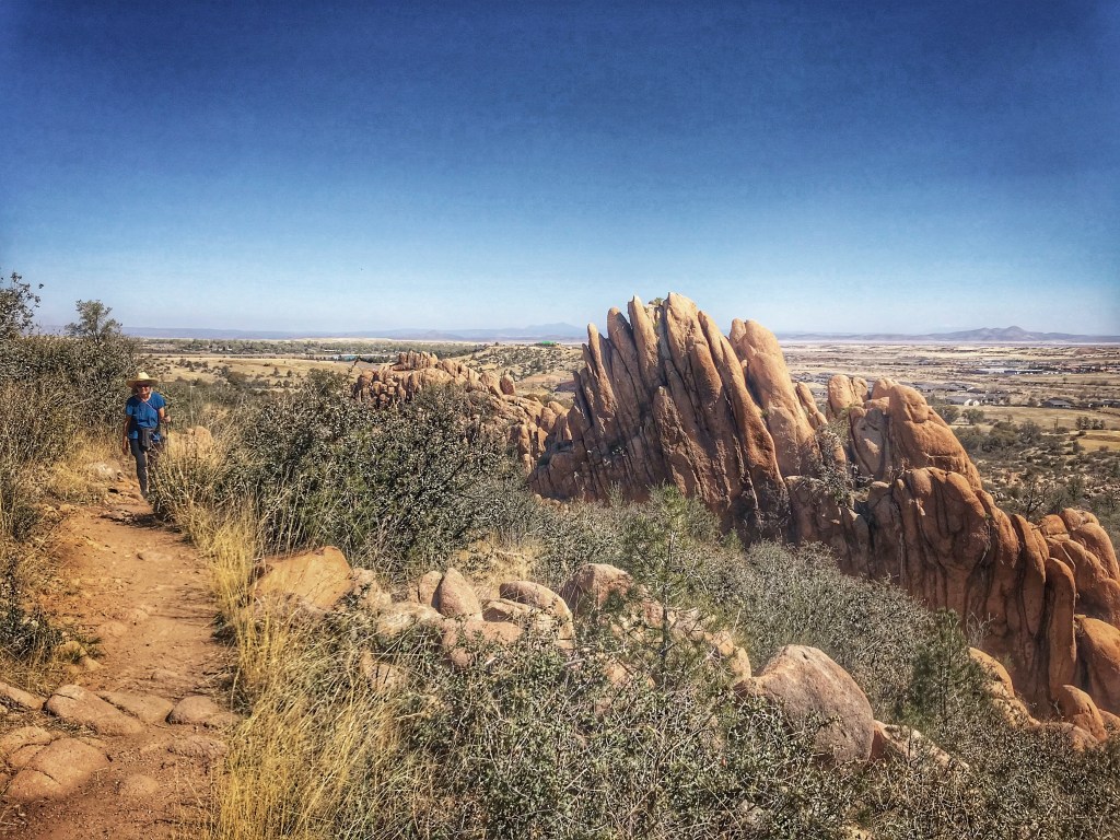
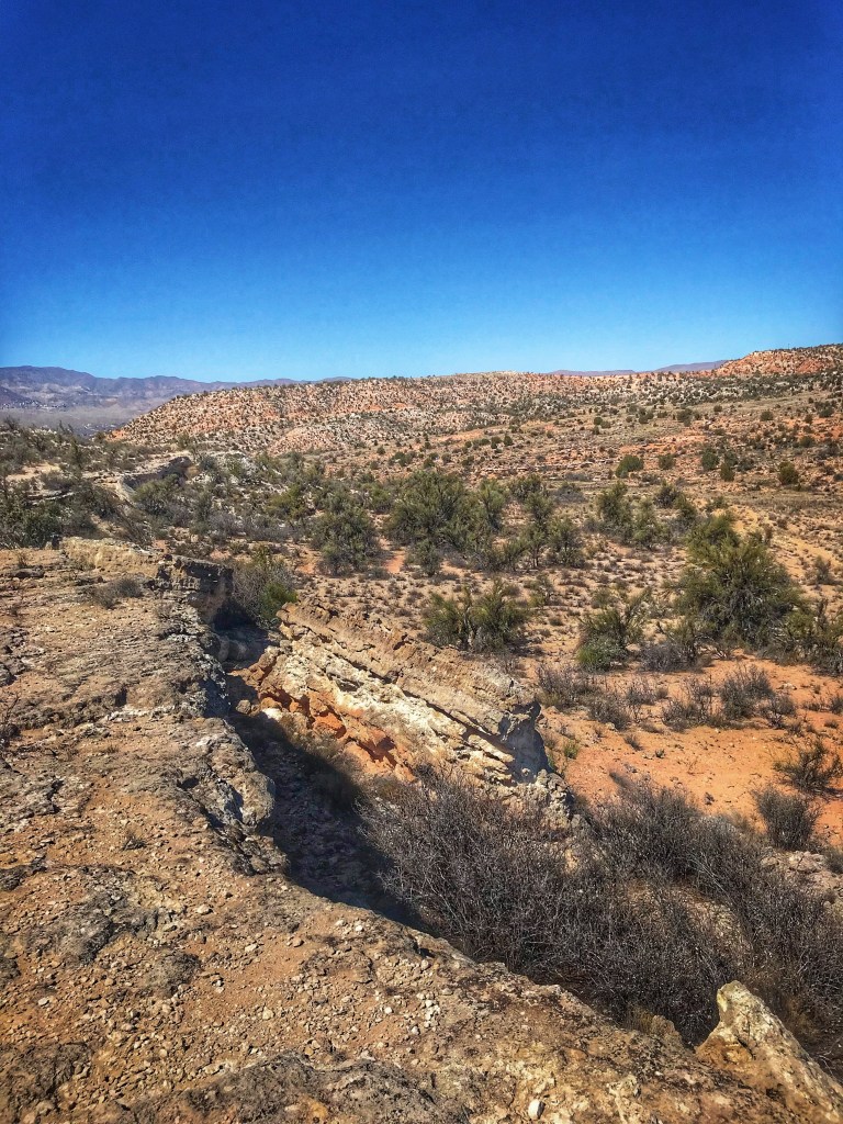
We left Red Rock country and headed south and west to the central highlands of Arizona. We settled in at a private RV park, Point of Rocks RV, nestled in the granite Dells of Prescott AZ.
Site 63
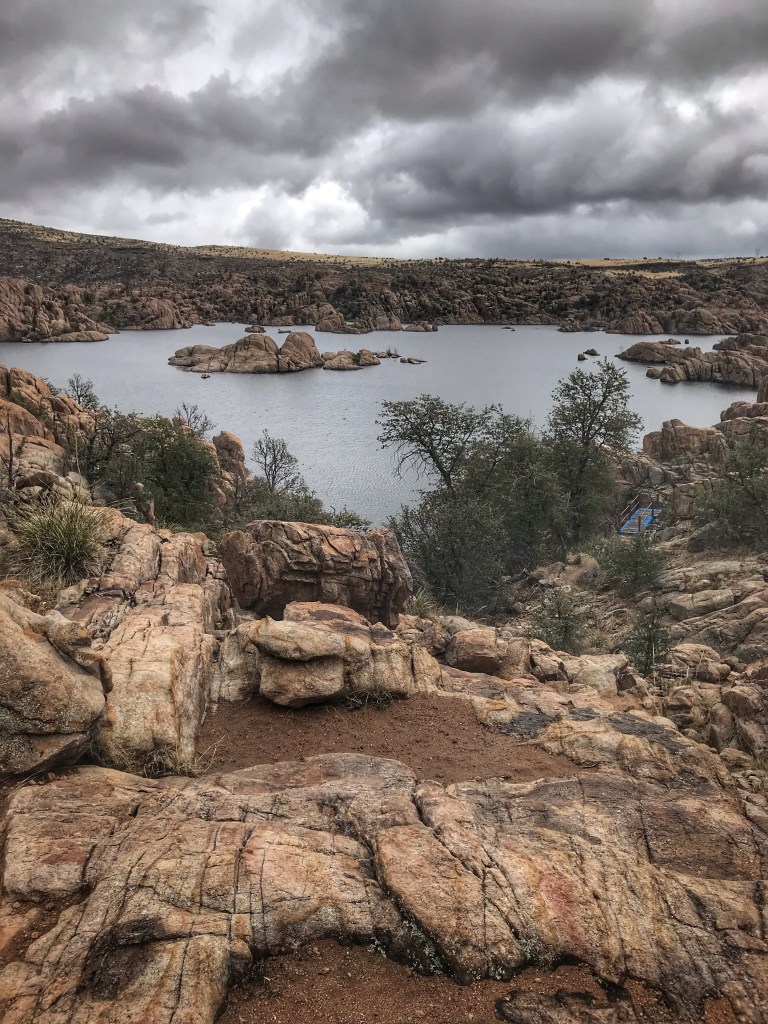
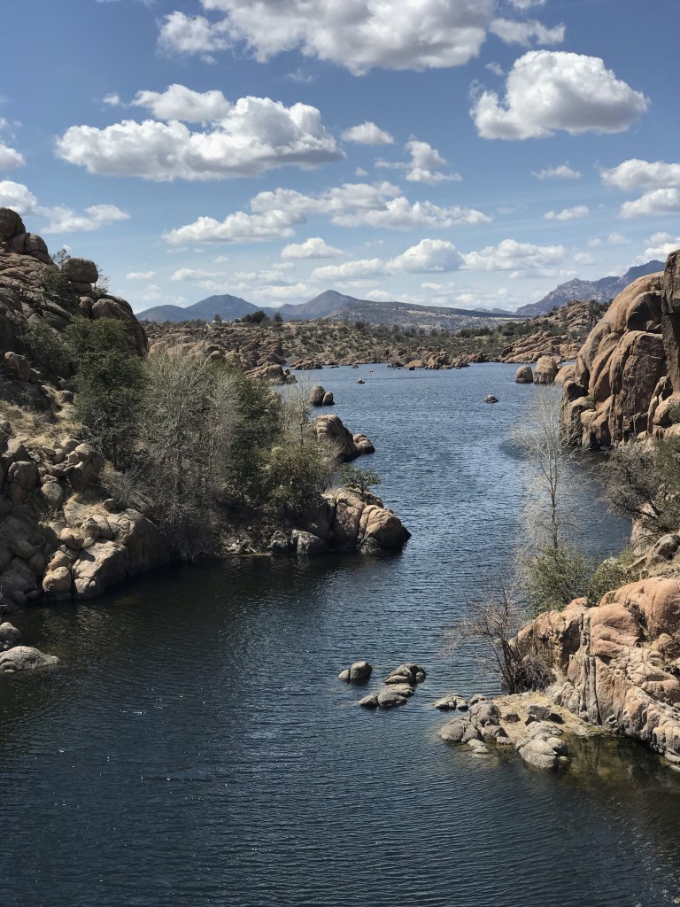
We arrived to overcast skies, some intermittent rain and colder temperatures. Watson Lake was a short hike from camp and we wasted little time before going exploring, the weather be damned.
The lake was created in 1916 when Granite Creek was dammed as part a Chino Valley irrigation project.
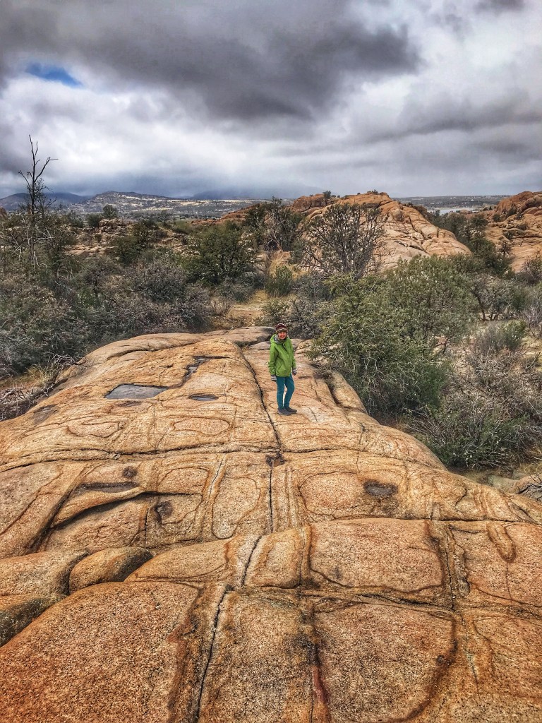
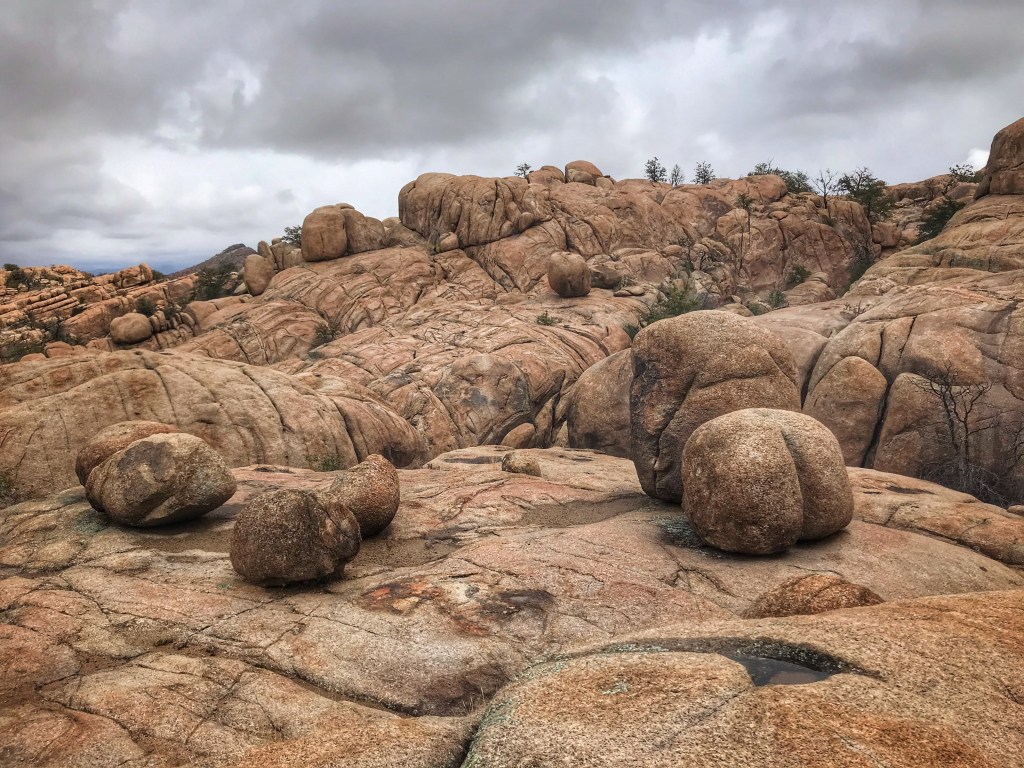
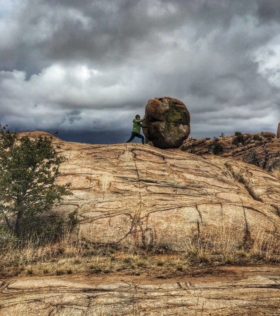
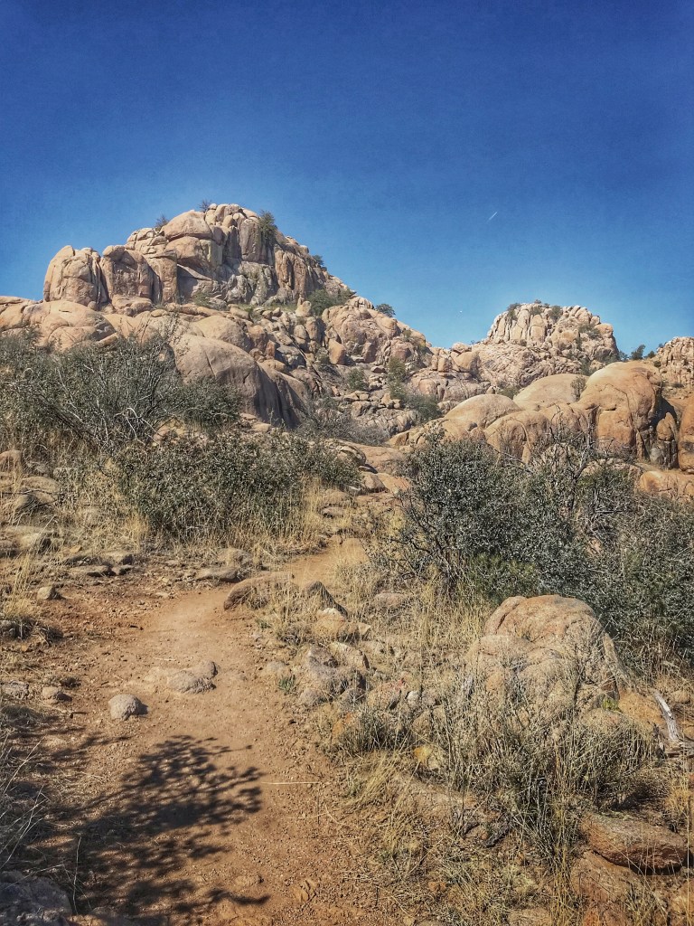
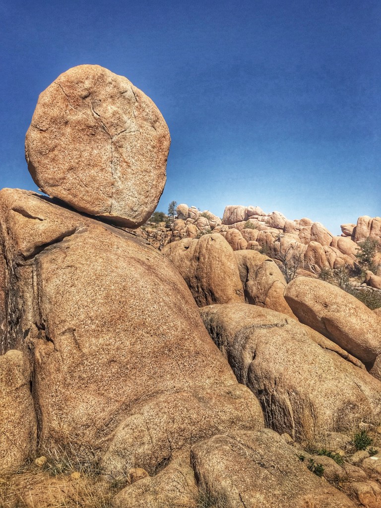
Scrambling among the granite boulders surrounding the lake offers endless possibilities for exploration.
The Dells owe their distinctive look to long term weathering of natural cracks in the granite. These granite boulders are estimated to be 1.4 billion years old.
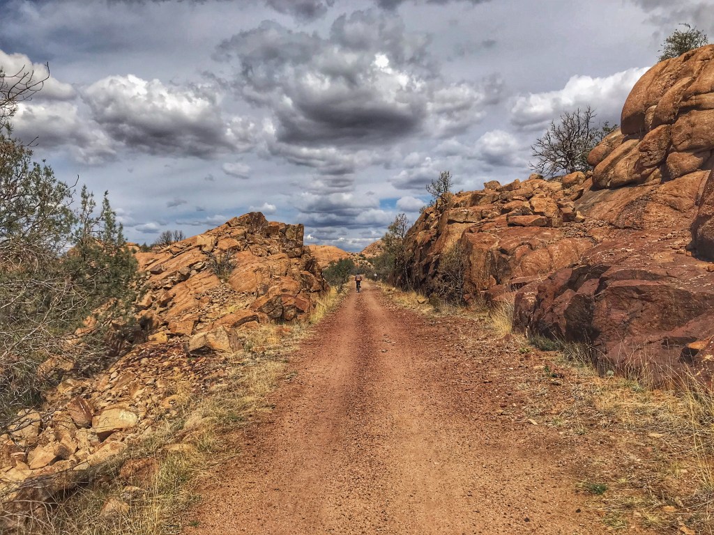
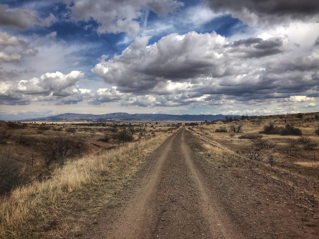
Nearby is the Pea Vine/Iron Lion trail. This 11 mile trail system runs along the bed of the former Santa Fe & Prescott RR.
The Iron Lion Trail emerges from the granite boulders into an expansive view of the Prescott Valley.
The Pea Vine Trail also has great views along the shore of Watson Lake.
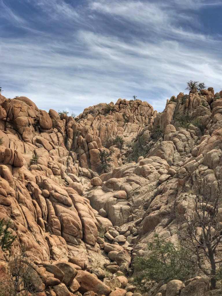
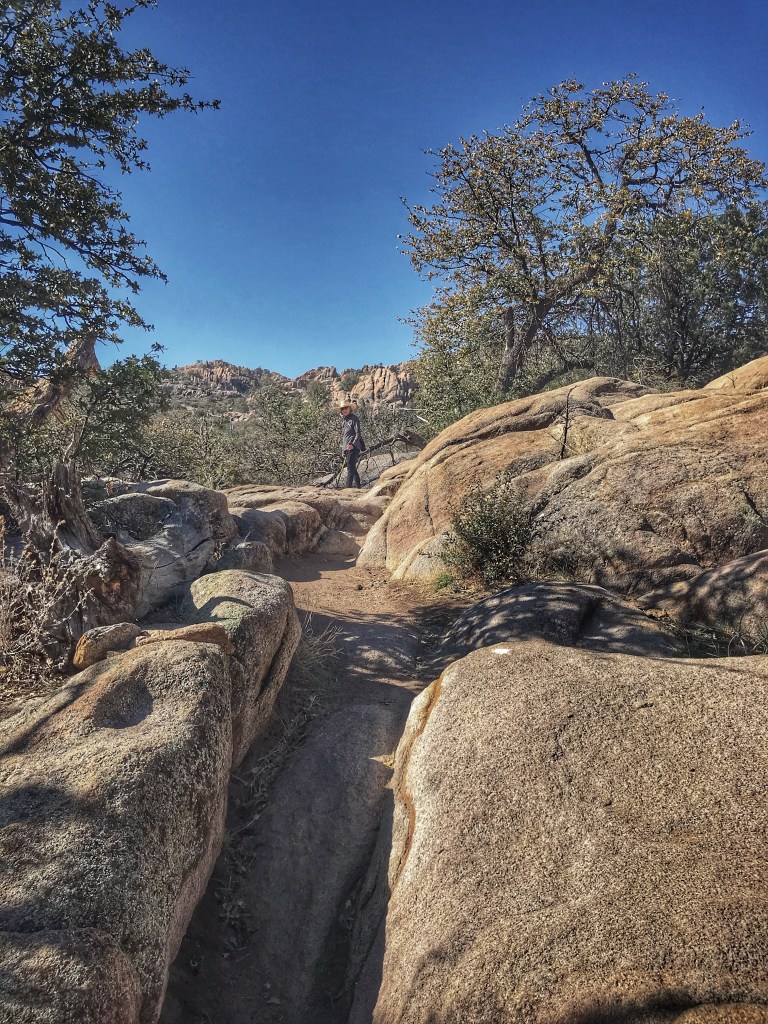
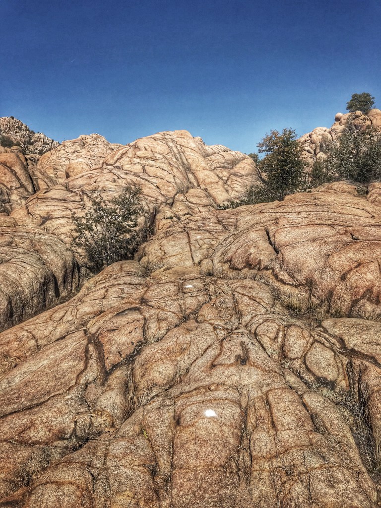
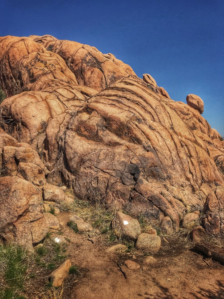
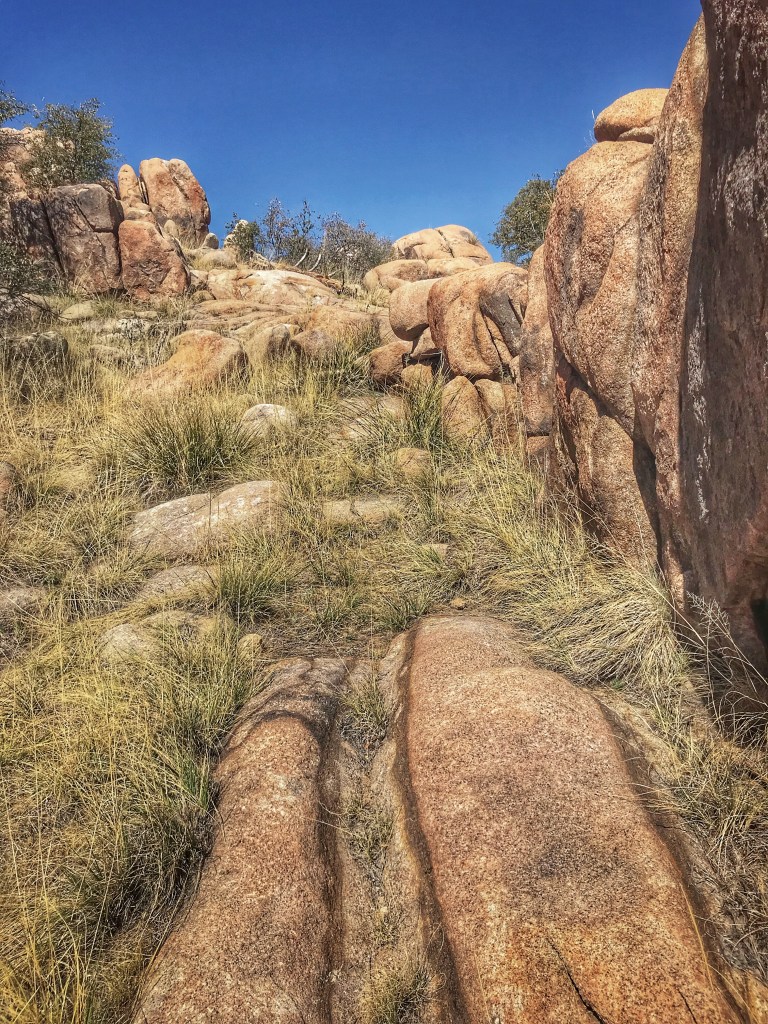
Also close to camp is the Constellation Trail system that meanders through the granite Dells. The trails are owned and maintained by the City of Prescott.
White dots mark the trail
We spent a wonderful morning wandering through these magnificent granite boulders.
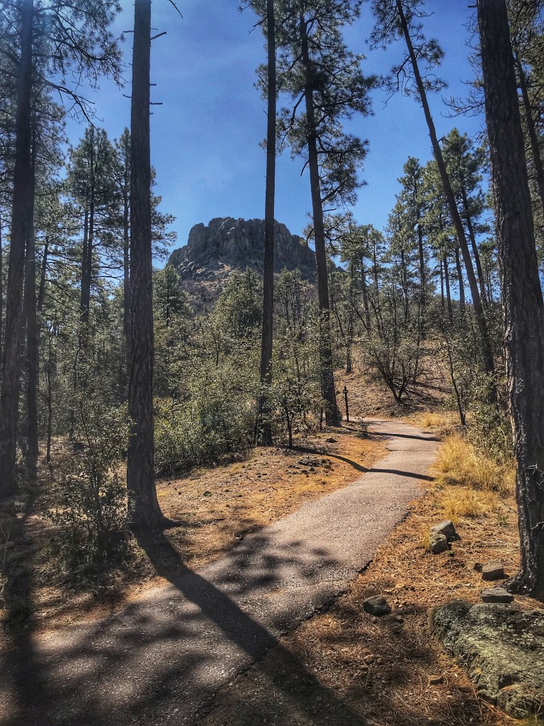
Thumb Butte is a distinctive feature in the Prescott National Forest on the westside of Prescott.
The steep two mile loop trail takes you to the “Thumb”. Whenever we’ve hiked the trail the final ascent to the top of the Butte has been closed because of Peregrine falcon nesting season. Regardless, the views are great.
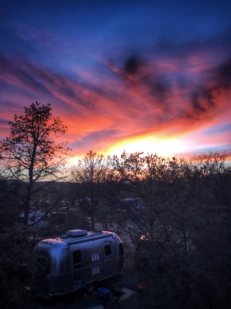
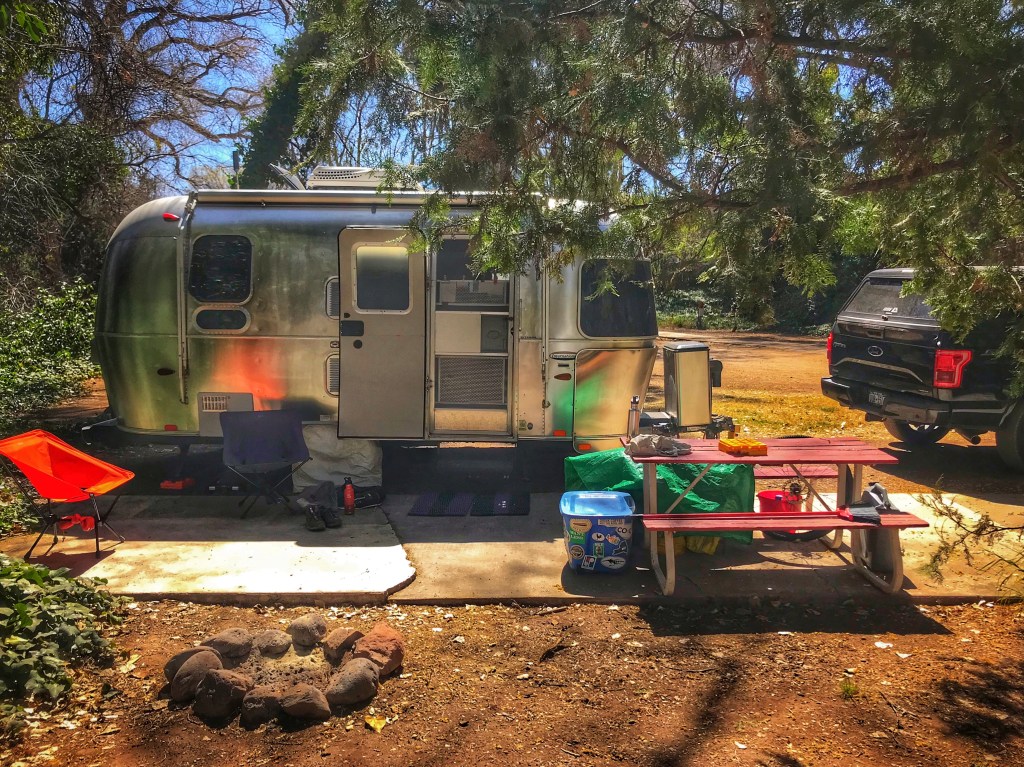
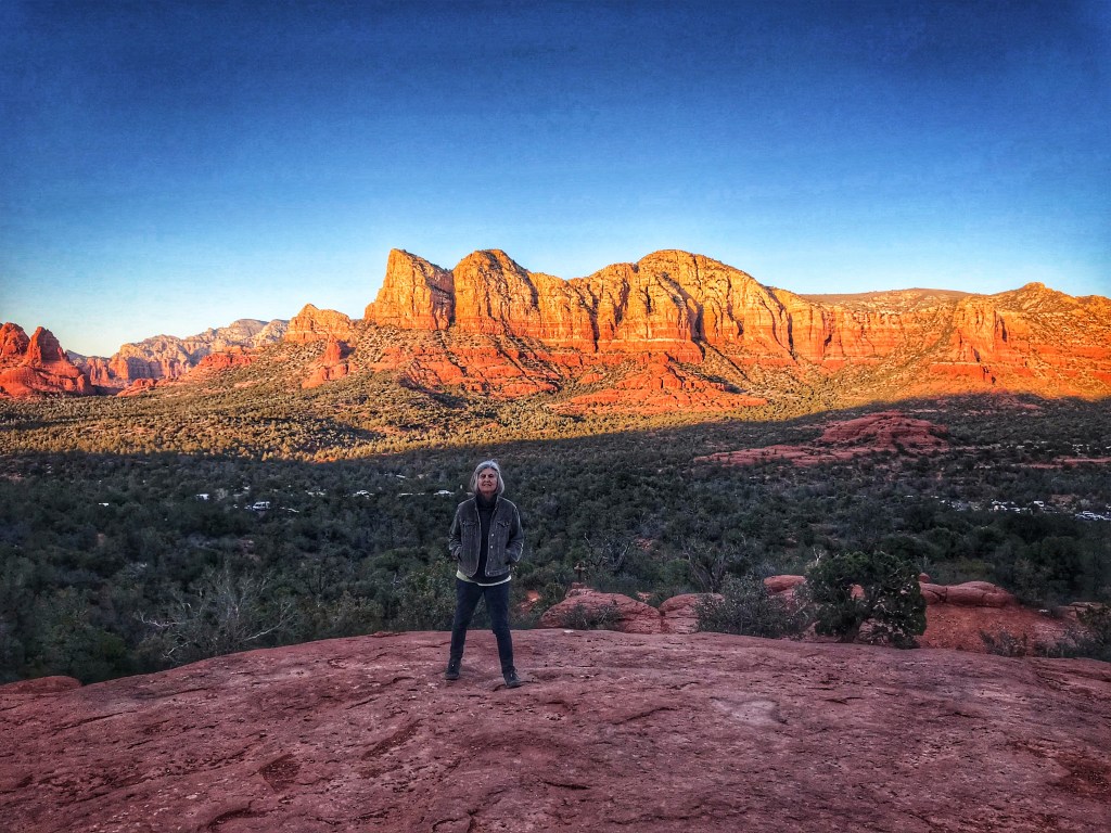
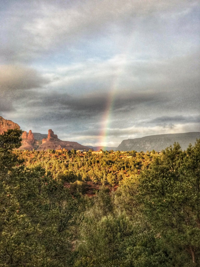
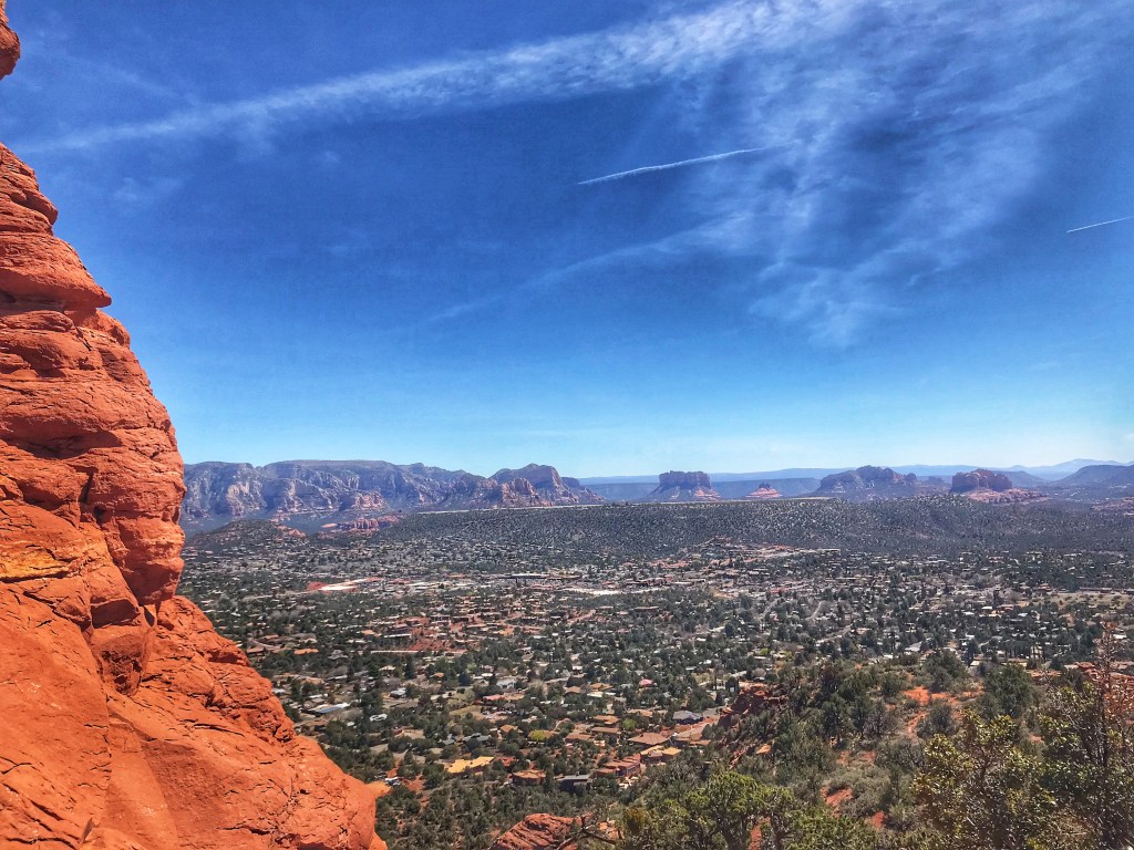
The allure of Sedona and its stunning scenery continues to draw us to this part of Arizona. We are not the only people who are drawn here. As a result Sedona can become a continuous traffic jam. It’s spring break for many which just adds to the traffic. We like to set up camp out of the fray. Our choice this spring is a private RV park in Page Springs, AZ., just off 89A.
Site 4 at Lo Lo Mai Springs RVOak Creek runs through the park
The campground is located in Oak Creek canyon which makes it difficult to watch the sun set. After we set up we drove toward Cottonwood in search of a sunset viewpoint. We headed to the Cliff Rose trails with high hopes.
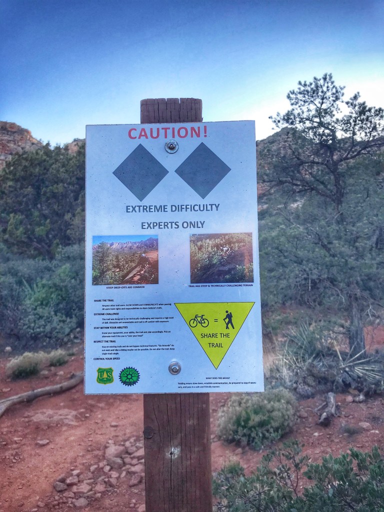
The Cliff Rose trails are also used by mountain bikers. After hiking part of the trails we decided to give it a go on our bikes.
Everything was going great until we hit the backside of the outer loop. The cliff in Cliff Rose should have been the tip off.
A rocky trail runs next to the cliff drop offWe had a couple of close calls but we survived
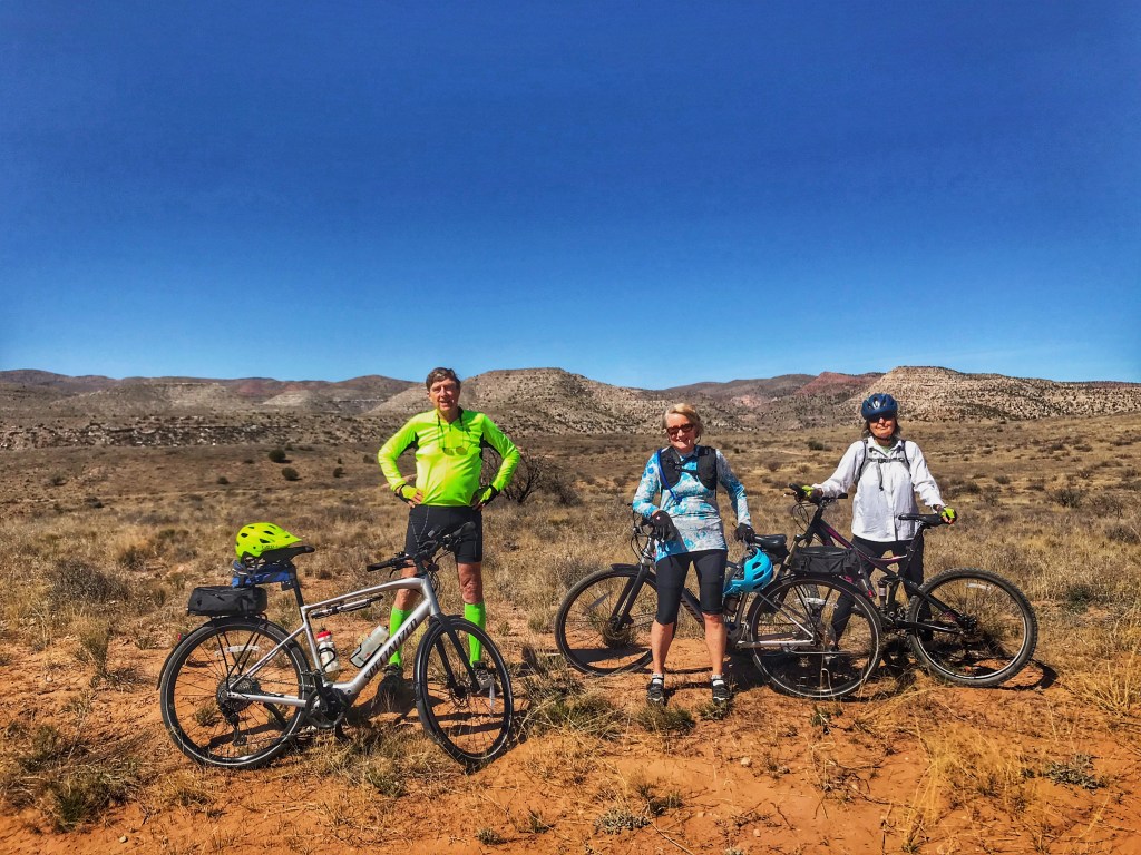
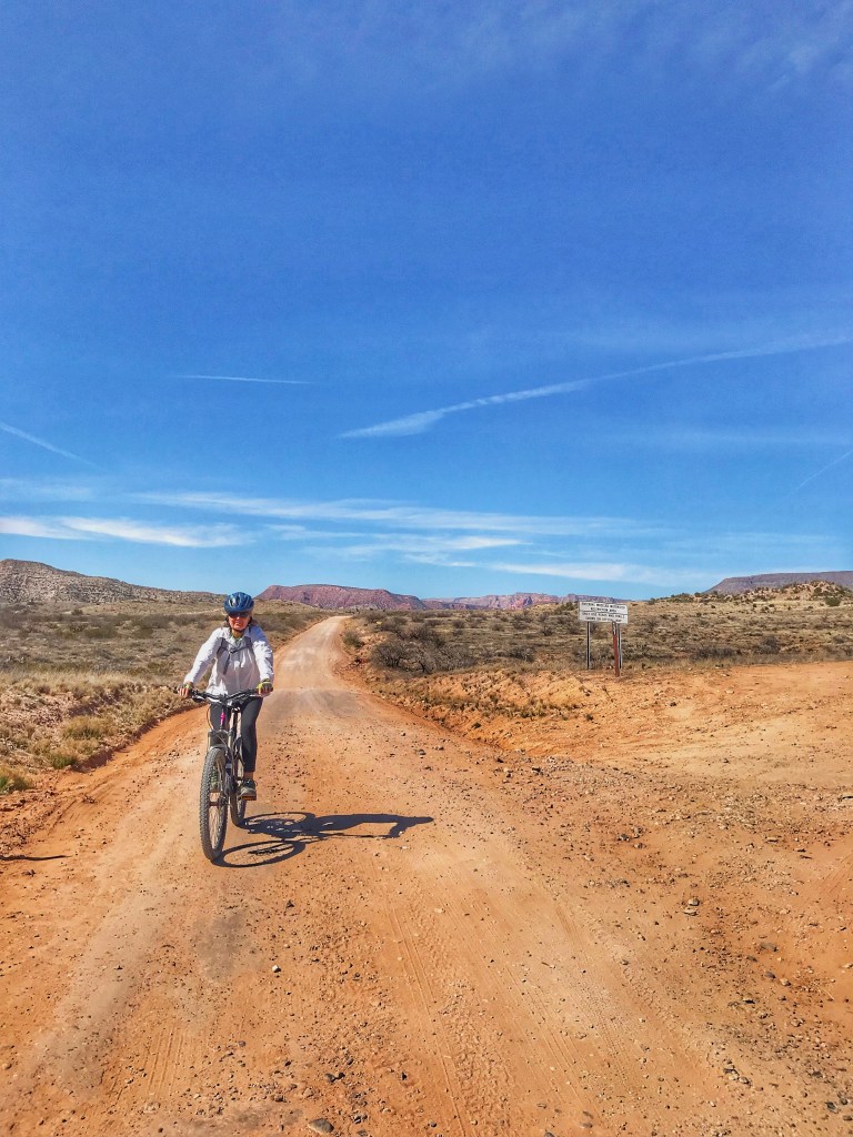
We met fellow Airstreamers Noelle and Andy at Usery Mountain Park and realized we’d be in the Cottonwood area at the same time. We decided to meet up for a bike ride along Sycamore Canyon Rd..
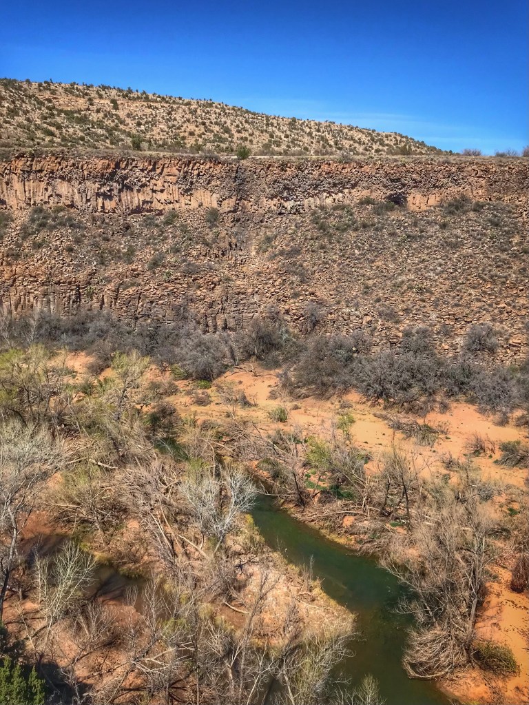
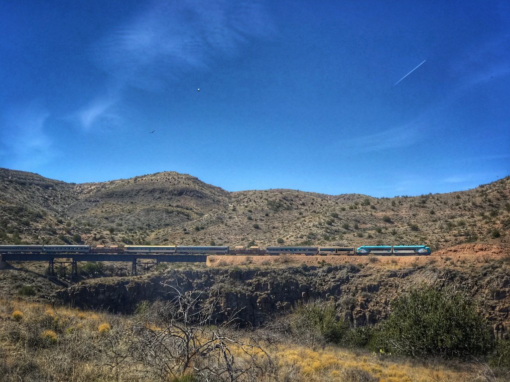
We rode out toward the Sycamore Canyon trailhead until it was time for lunch. Using a rutted and cobbled Forest Service rode we headed for a lunch spot overlooking the Verde River. Shoutout to Noelle and Andy for braving this rutted road on their hybrid bikes.
Verde River Canyon
For an extra treat, as we ate the excursion train from Clarkdale went by on the opposite side of the canyon. This is the same train we rode during our visit in the Fall.
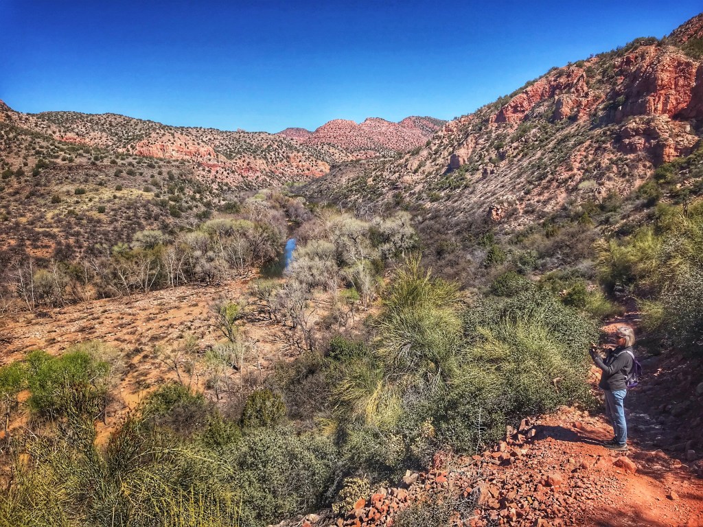
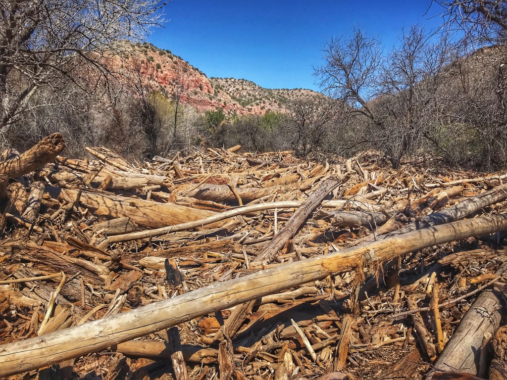
The next day we drove to the end of Sycamore Canyon Road(11 miles) where the trail through Sycamore Canyon begins. The trail had been closed when we last visited. The closure was due to fires and flash flooding during the previous year.
Sycamore Canyon After a steep descent the trail beginsDebris littered the canyon
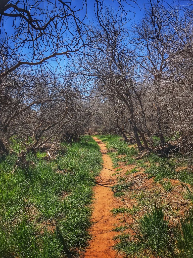
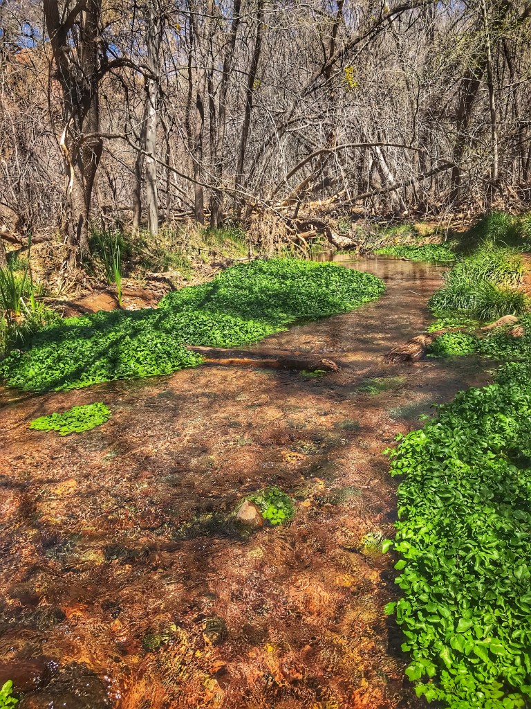
The fire and flooding necessitated the rerouting of much of the trail making it difficult to follow at times. We hiked in about one mile and then decided to head back.
Watercress thrived along this section of the creek
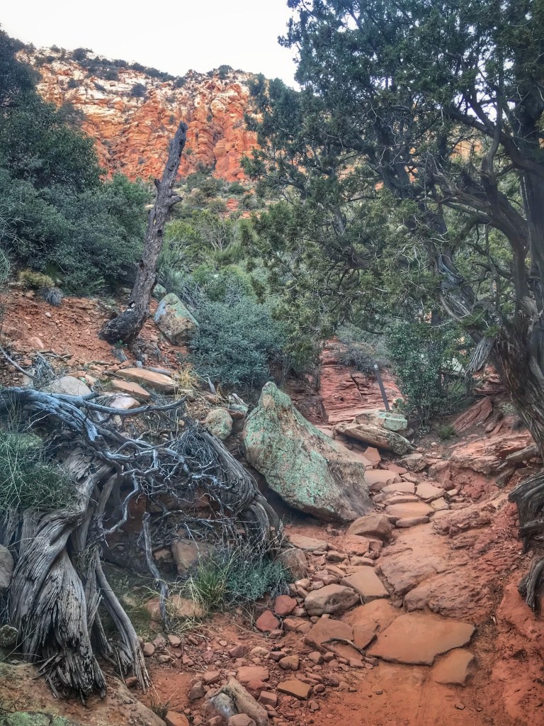
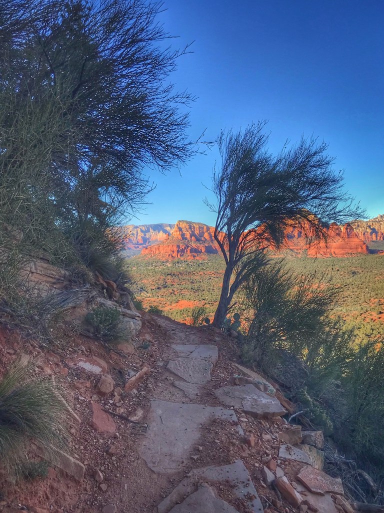
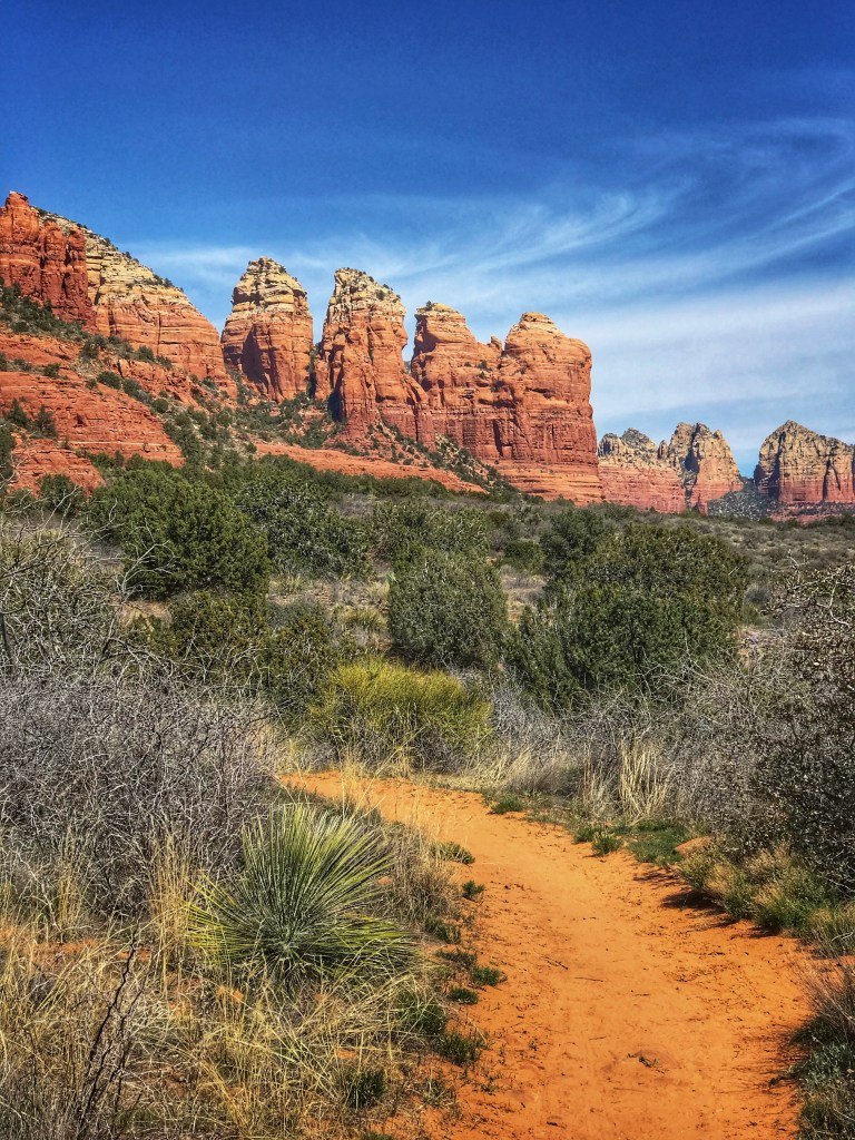
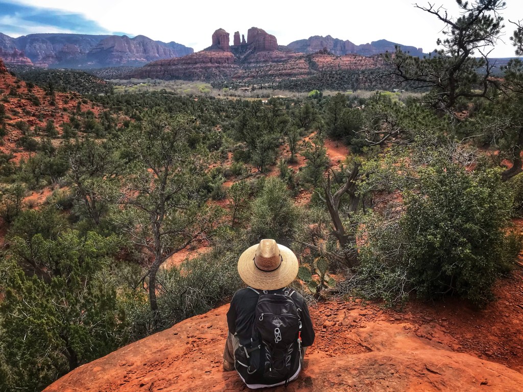
The crowd visiting Sedona necessitates planning when going on a hike. The trailhead parking lots fill up quickly. You have to arrive early (7:30-8:00am) or mid afternoon after the early birds are leaving. We opted to arrive in the afternoon to hike a section of the Hiline Trail and watch the sun set from Yavapai Vista.
The trail is open to mountain bikesThe trail We chose to hike
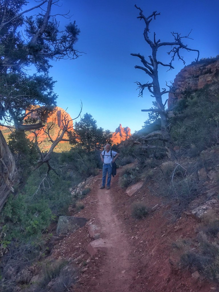
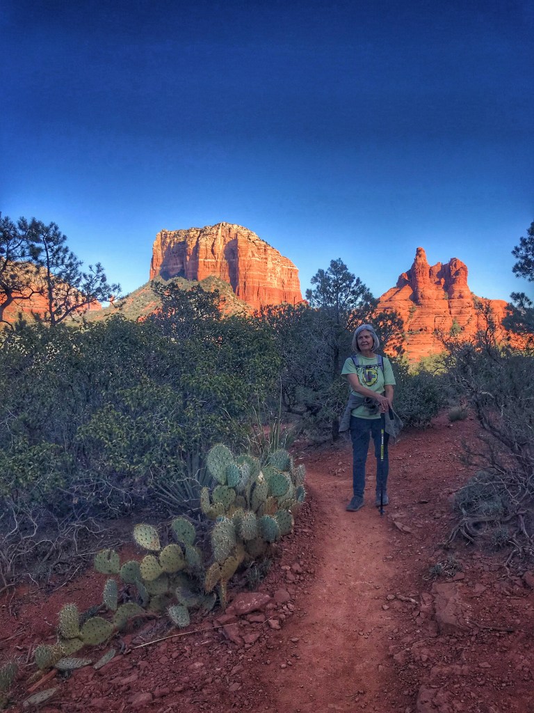
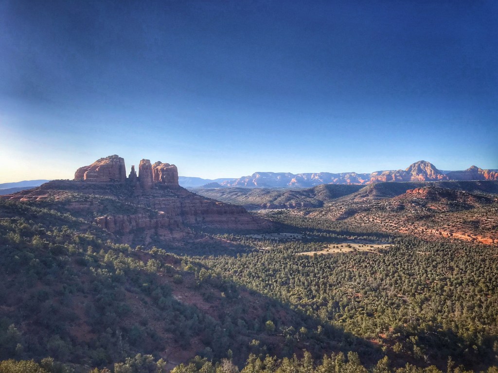
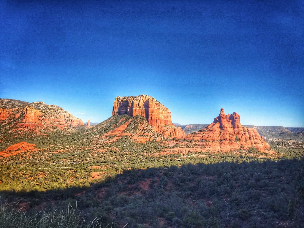
The trail offers iconic views of Cathedral Rock, Courthouse Rock and Bell Rock.
Cathedral RockCourthouse and Bell RockWaiting for the sun to set
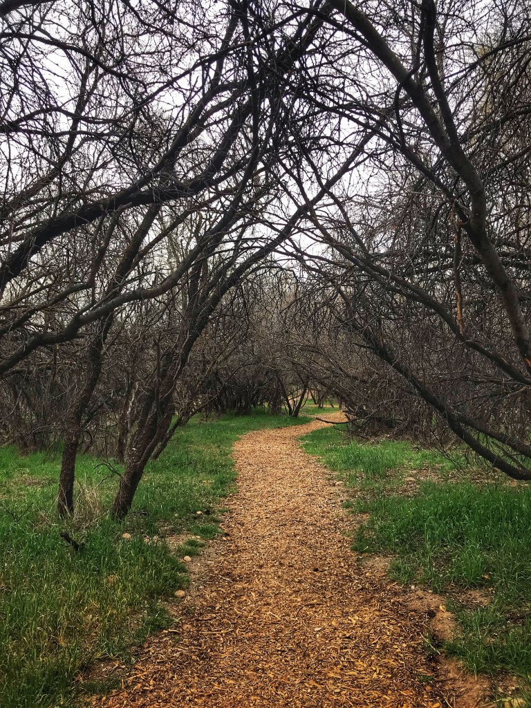
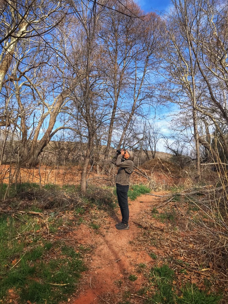
Bubbling Springs Preserve is located a mile down the road from our camp. The Preserve is a popular spot for bird watching and dog walking.
Blackhawk Trail
Along with wonderful scenery, Sedona also boasts a world class restaurant scene. If you want to eat at one of the more popular spots planning ahead is essential. Pat started looking for reservations a month before we arrived in town. She was able to find a coveted table on the patio of Mariposa.
Waiting to be seated
As we dined clouds and rain rolled in. The patio is covered, screened and heated so we ate in comfort.
Our table view
By the end of dinner the rain stopped and the clouds lifted.
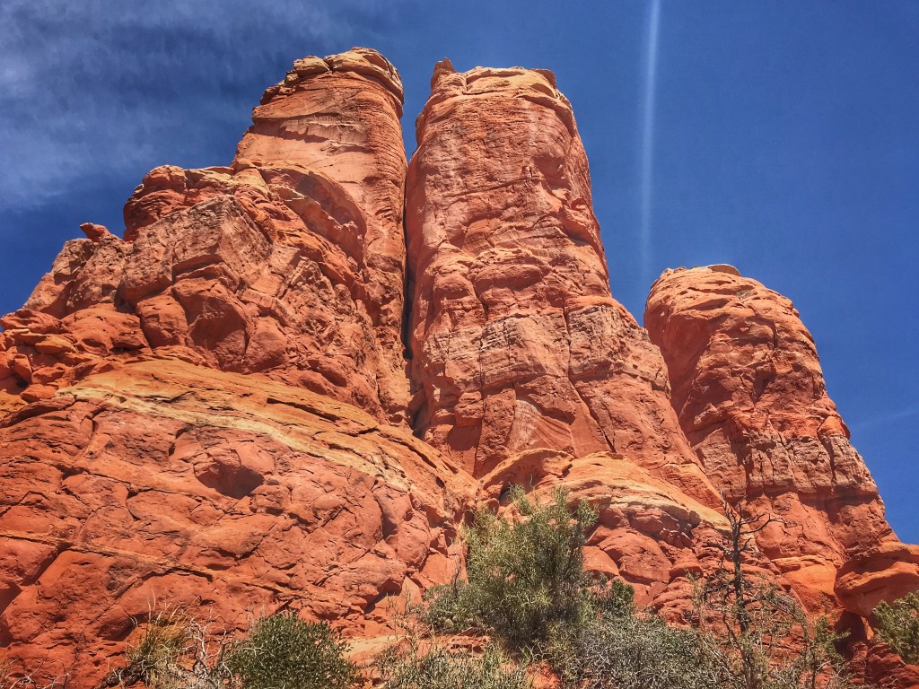
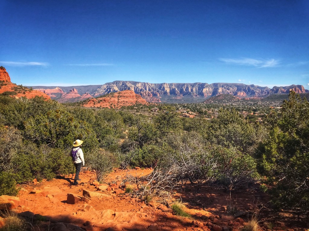
During our Fall visit to the area we realized that we had not explored the West Sedona trails. We settled on the Thunder Mountain loop with a detour up to Chimney Rock.
Chimney RockChimney Rock after the climbThe view
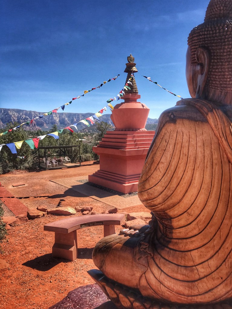
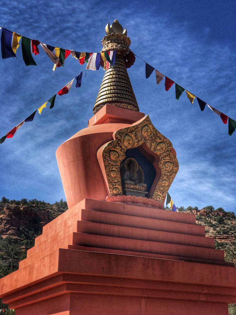
The Thunder Mountain Loop Trail is located near the Amitabha Stupa and Peace Park and is always worth a visit.
The Stupa
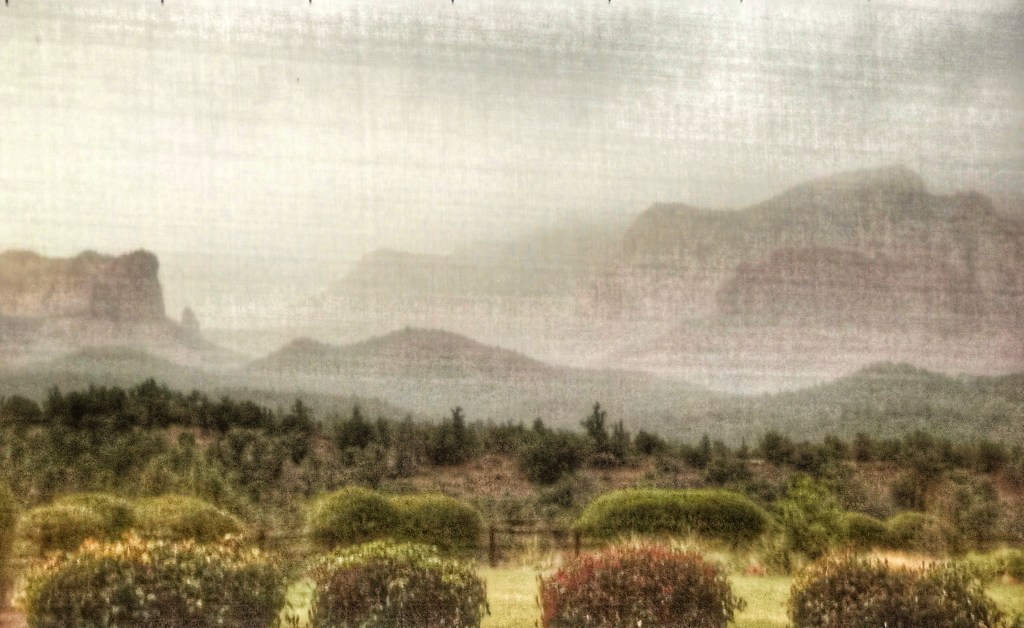
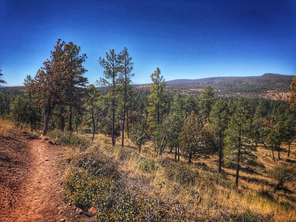
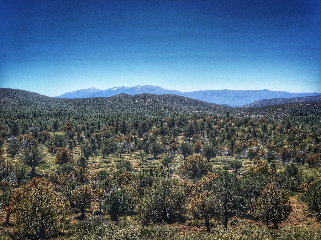
We decided to visit the Mogollon Rim which cuts through northern Arizona. These mountains can reach as high as 8000 feet and form the southern rim of the Colorado Plateau.
We hiked the Pine Loop in Pine Arizona Ponderosa Pine PatArizona isn’t just desert
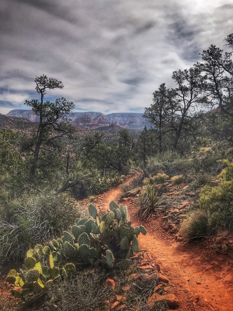
On our last day in Sedona we decided to continue our exploration of the West Sedona trails. We chose the Pyramid Mountain Loop. It was a good choice.
The trail offers great views of Cathedral Rock along the trail.
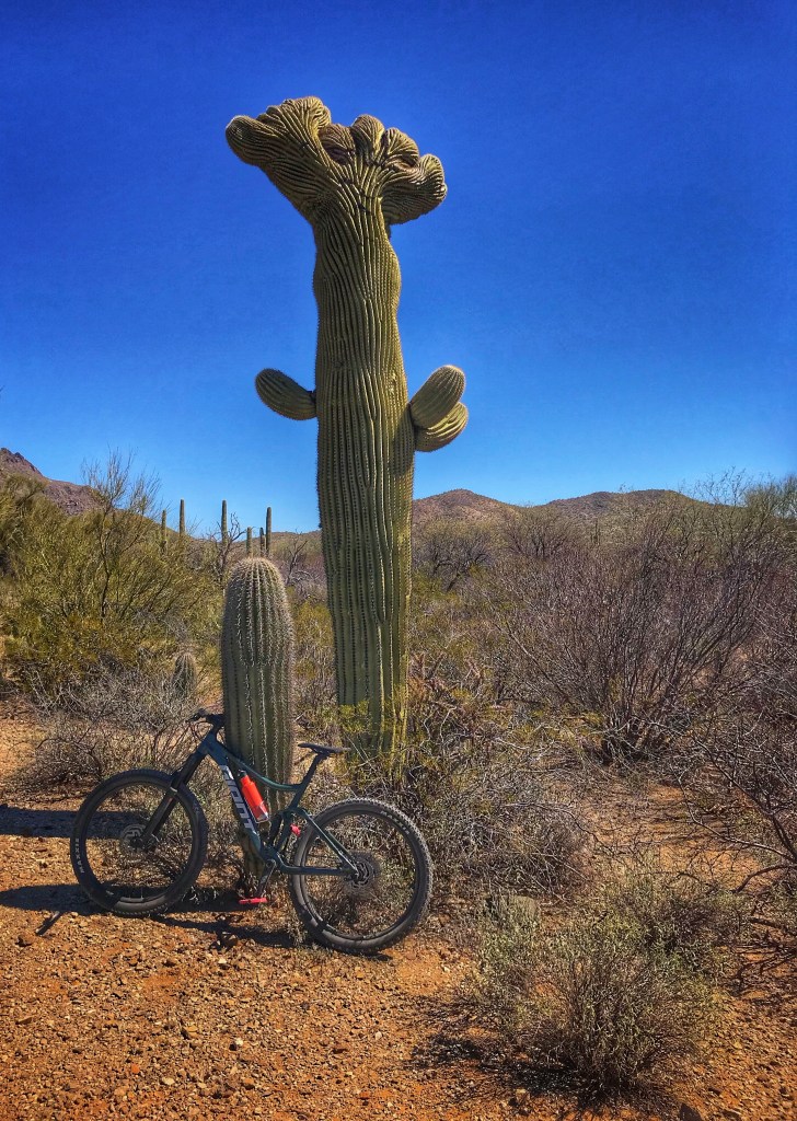
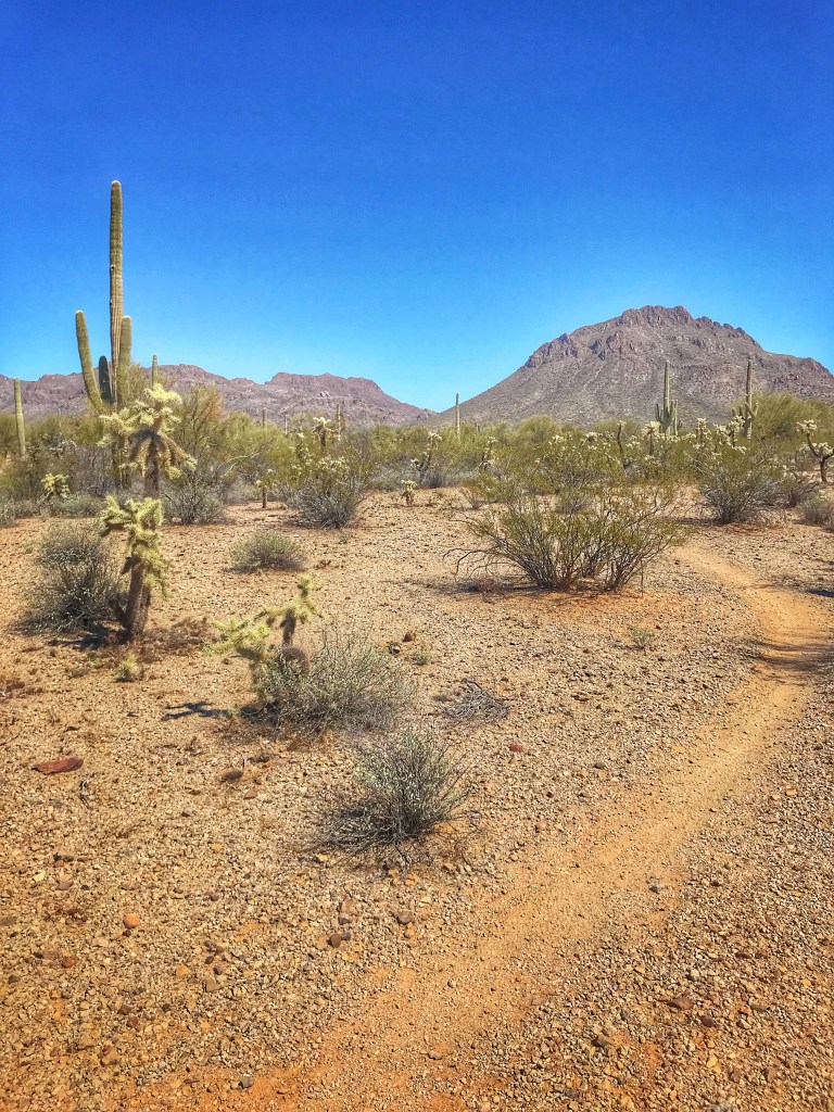
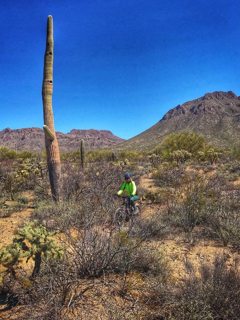
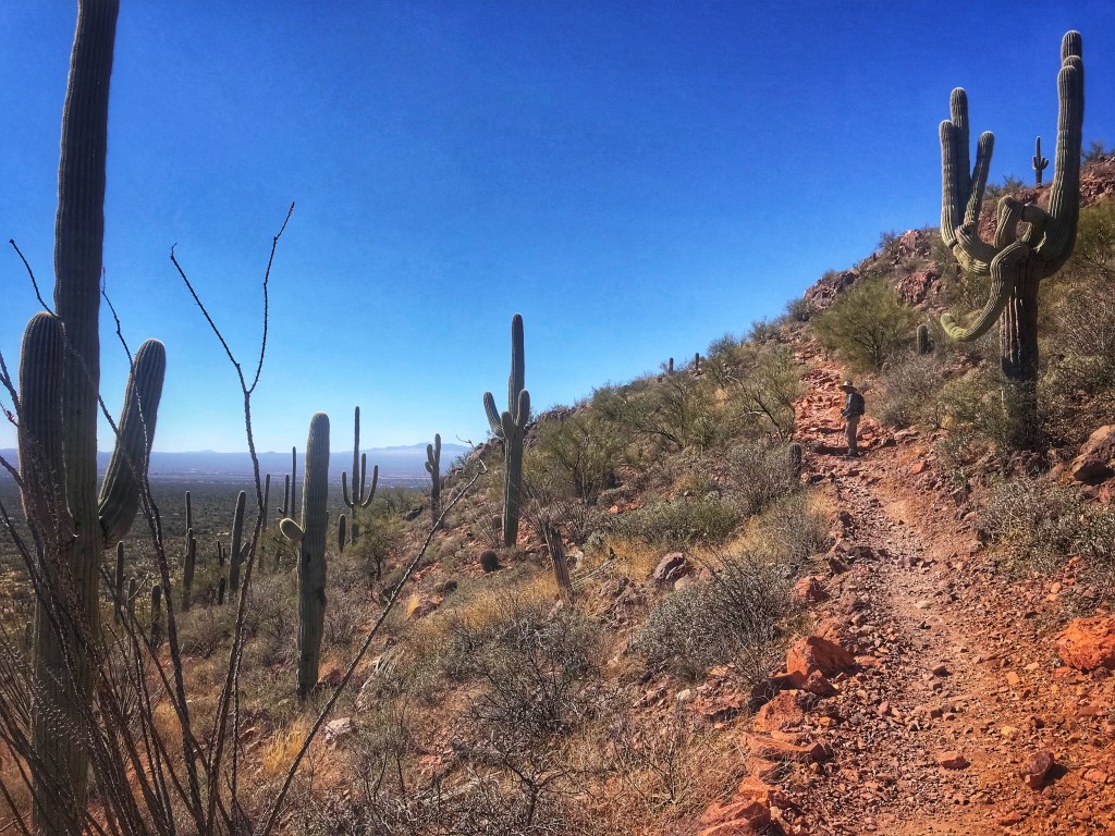
We secured a week at a favorite Pima County Park, Gilbert Ray Campground. It is located in the Tucson Mountain Park which has wonderful mountain biking trails (the same mountain biking trails that we accessed from Desert Trails RV in Nov and Dec). The park exists thanks to the work of C. B. Brown who was able to prevent mining interests from developing the Tucson Mountains. In 1929 Pima County established Tucson Mountain Park on 29,988 acres of the Sonoran Desert. It was the largest country park in the United States at that time.
New bike, old friend It’s all about the trails
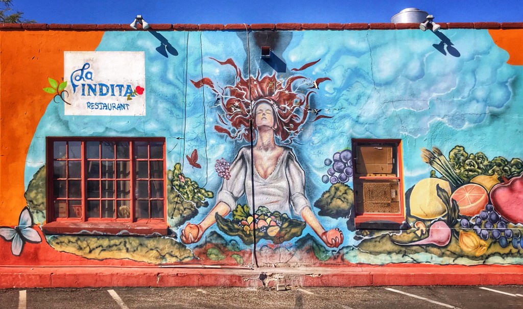
Part of the joy of travel is discovering unique local restaurants. There are lots of Mexican restaurants in the Tucson area but La Indita offers an interesting twist. The family restaurant draws on its Tohono O’odham roots to influence the menu. One of the specialties is the Indian Taco. Think of a taco with the tortilla replaced with Indian fry bread.
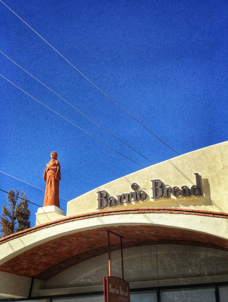
We also found an excellent bread bakery that specializes in sourdough breads; Barrio Bread. If you find yourself in Tucson don’t pass up a visit.
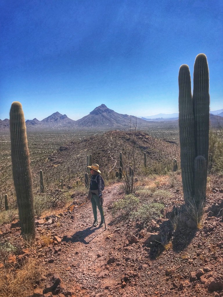
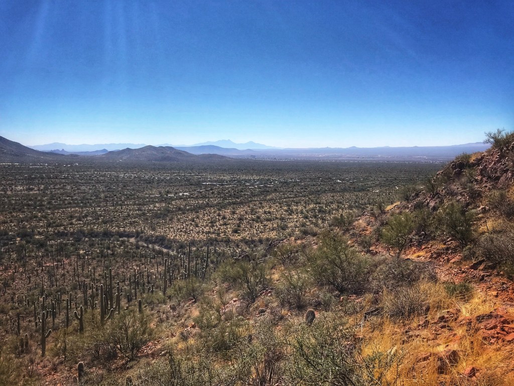
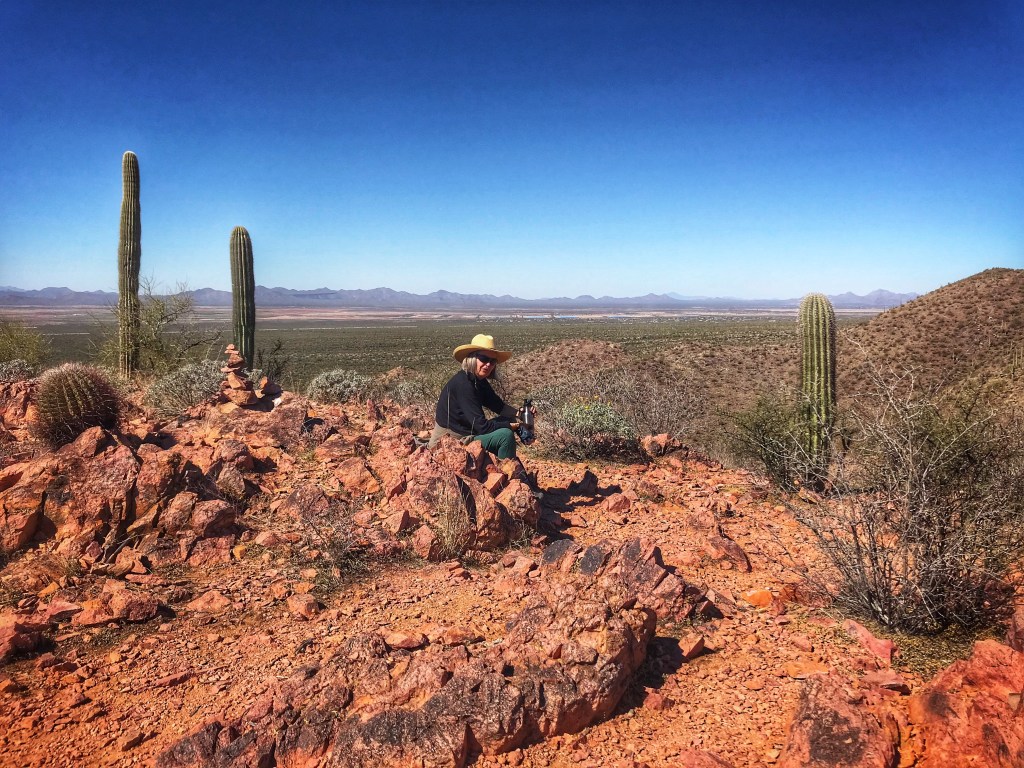
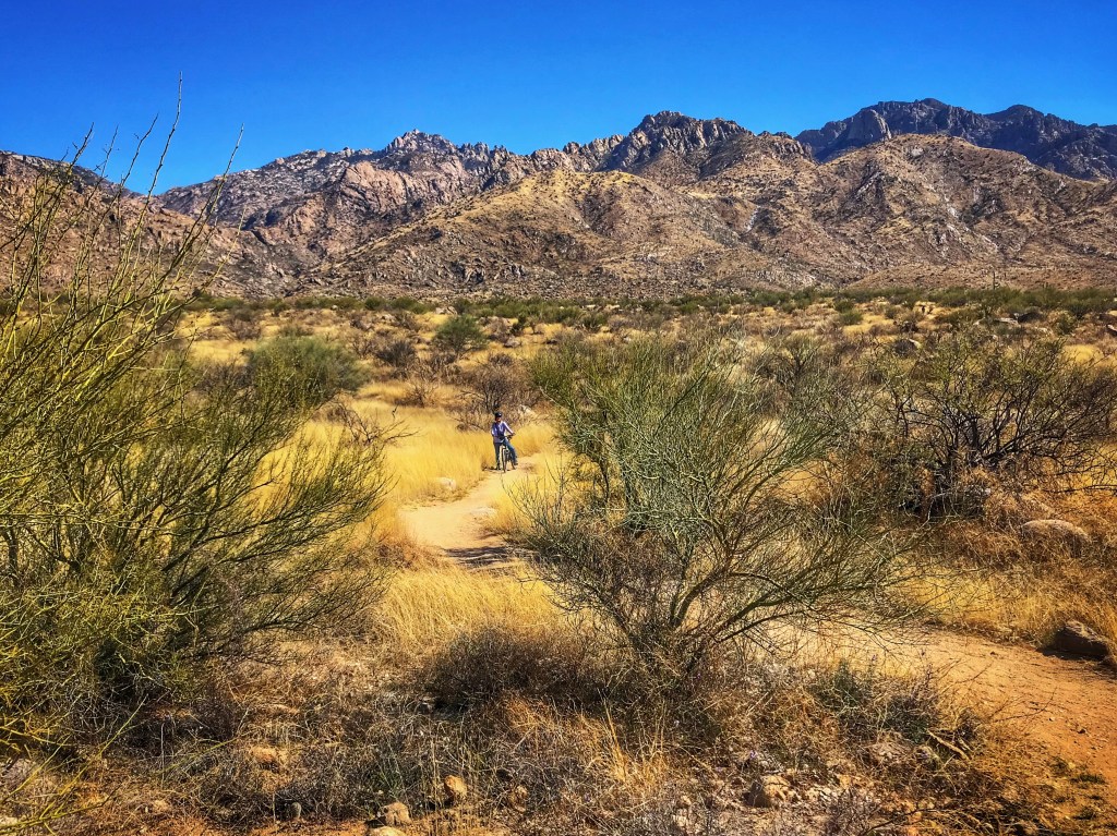
Some of the Tucson Mountain Park trails require biking skill levels beyond what we are capable of. That’s not really a problem because those are the trails we hike. One of these is the 5 mile Brown Mountain Loop.
The trail offers great views of the park
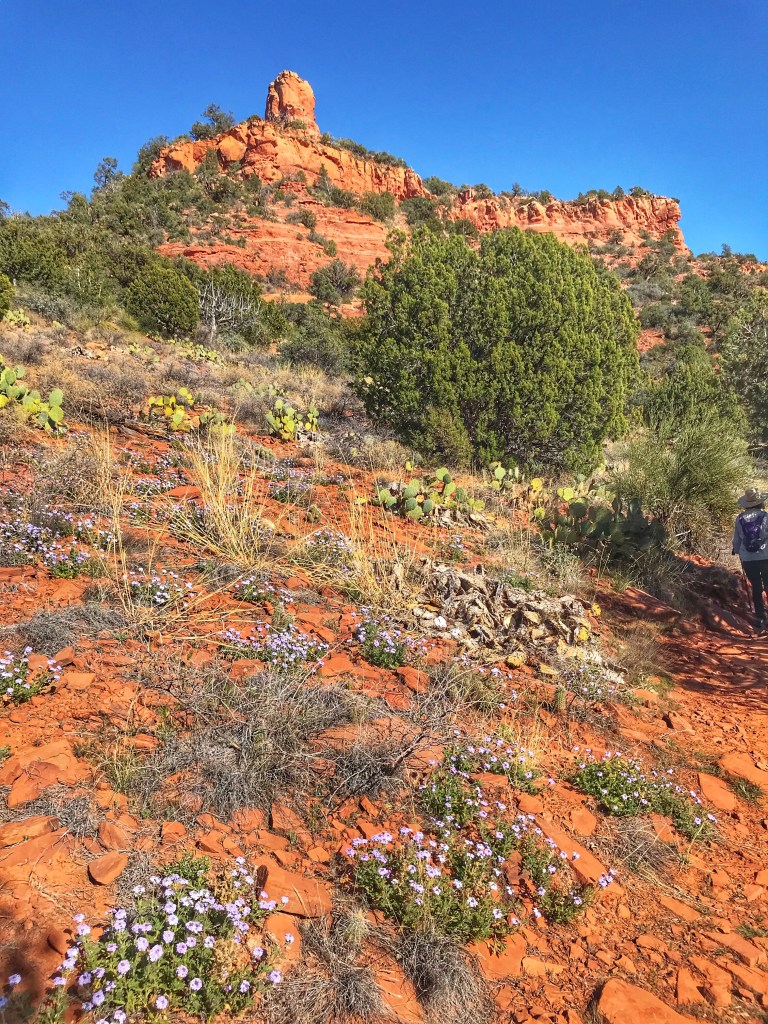
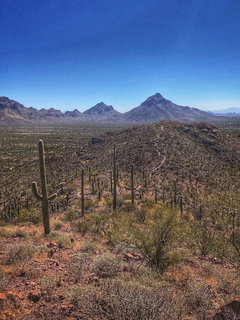
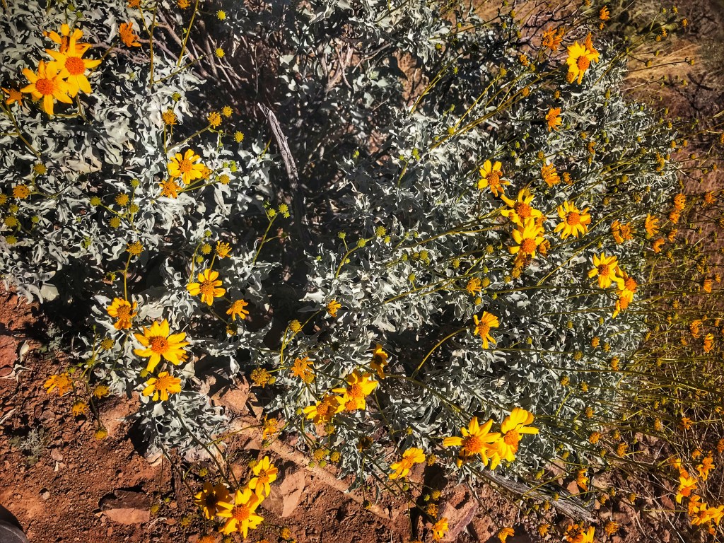
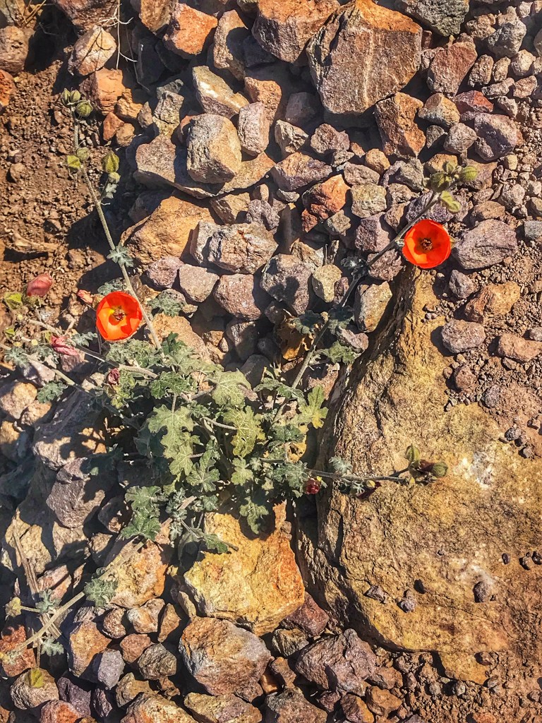
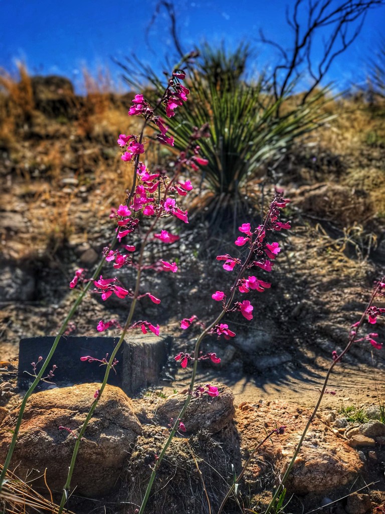
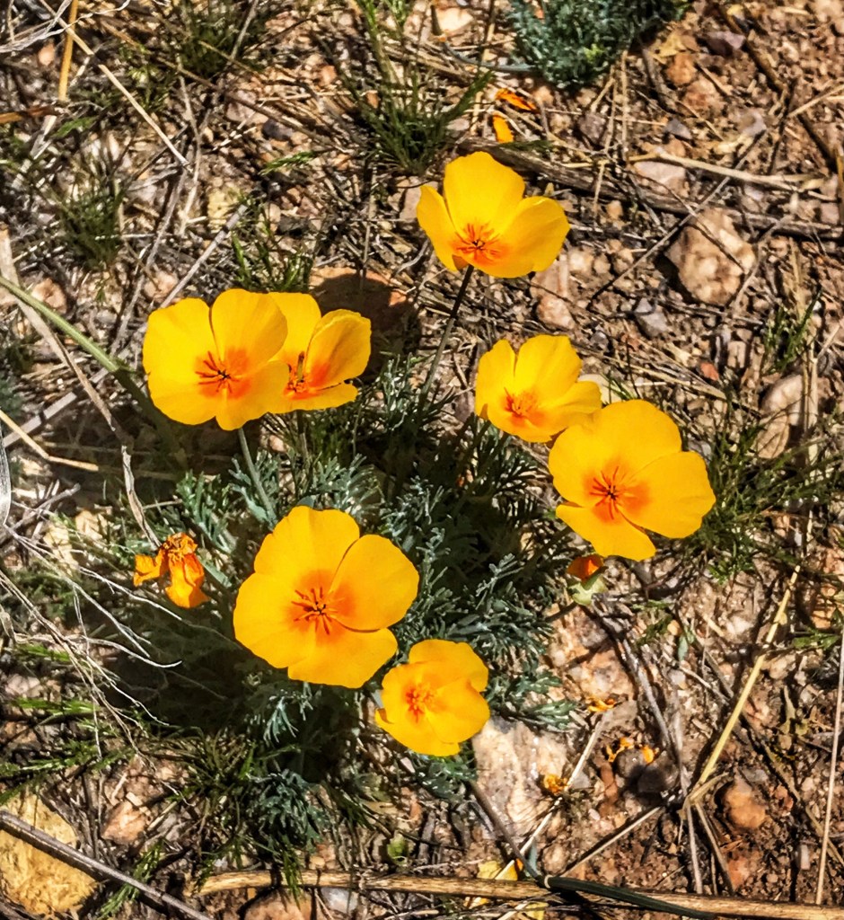
While it’s only early March, spring has begun and this means wild flowers.
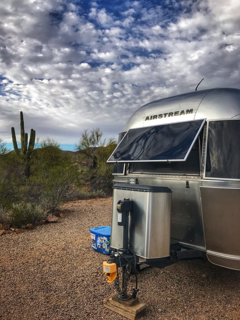
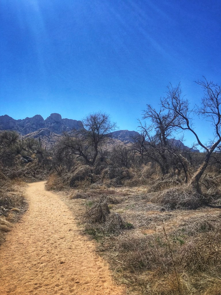
After seven days in Tucson Mountain Park it was time to move on. We hooked up the Tincan and headed northeast to Catalina State Park. The park is very popular and we were only able to secure a few days in their overflow campground. Basically a dirt parking lot with spots very close together. You also have access to a very nice modern bath and shower facility.
Site 3 in Overflow
The upside is that the other campers are friendly and considerate of other peoples space and we had a spot in a favorite state park where we can continue to hike and bike.
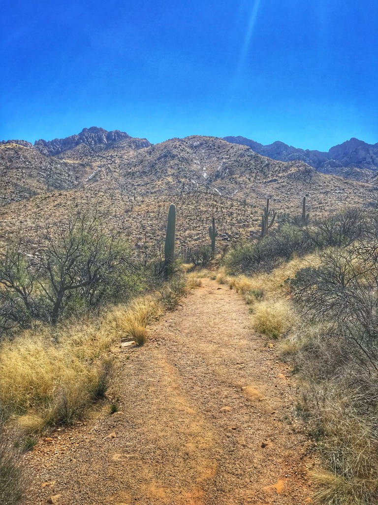
Bridle PathBiking the Nature Trail
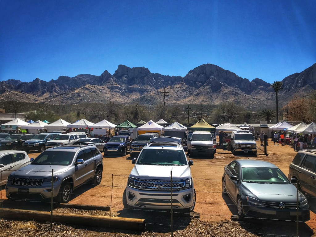
Camping at Catalina SP also puts us within biking distance of the Steam Pump Farmers Market where we stocked up on coffee and greens.
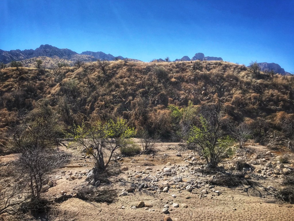
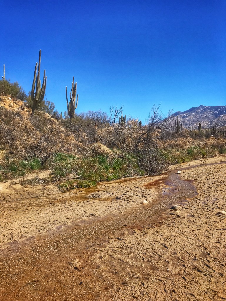
On our last day in the park we decided to hike the Canyon Trail and check out some of the fire damage from the October 2020 fire that burned 47 acres of the park.
Burn damage lines the trailWater in the Canada del Oro WashPhoto courtesy of Julie and Scout
Tucson is our turn around point. From here we start heading north.
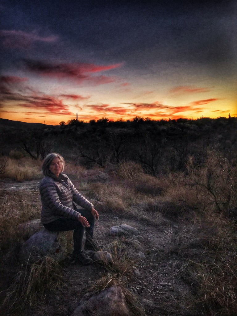
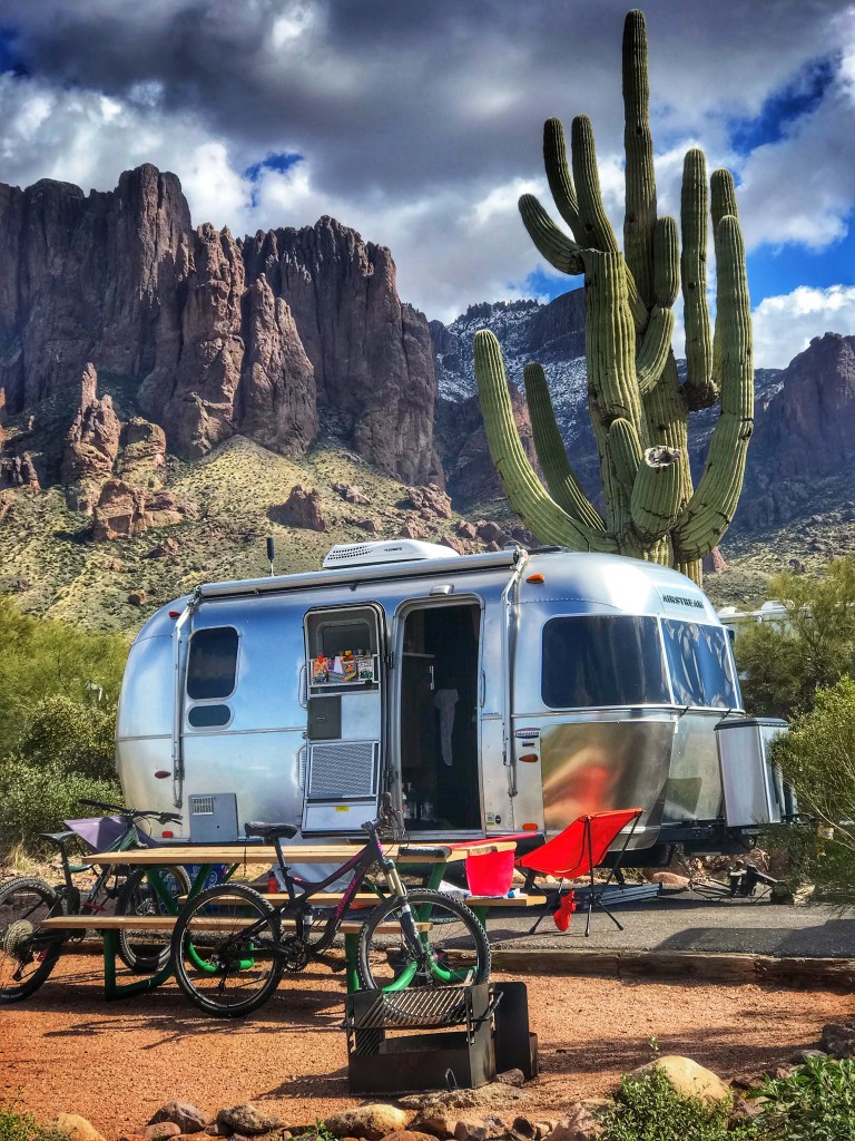
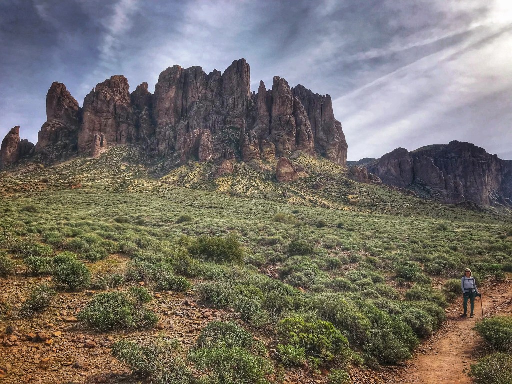
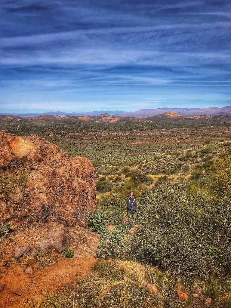
The park gets its name from the legendary Lost Dutchman Gold Mine. Jacob Waltz, a German immigrant, is purported to have found a rich gold mine in the late 1800’s. On his deathbed he gave a cryptic description of its location in the Superstition Mountains near Apache Junction. Prospectors are still searching for it in the hope of “striking it rich”.
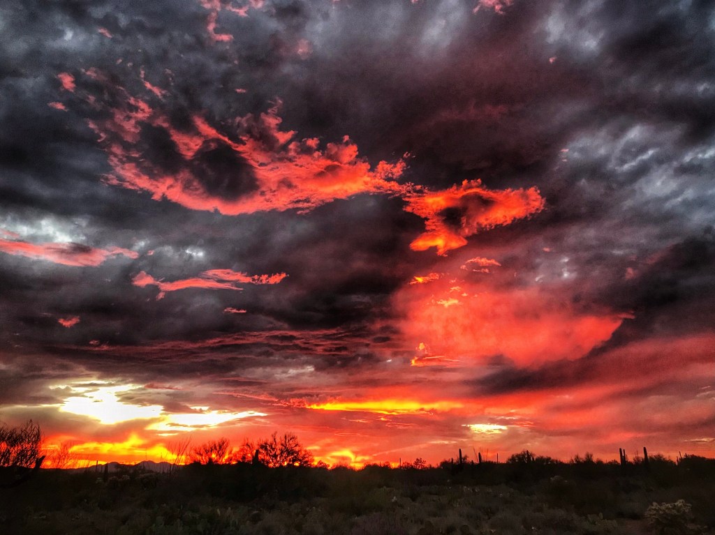
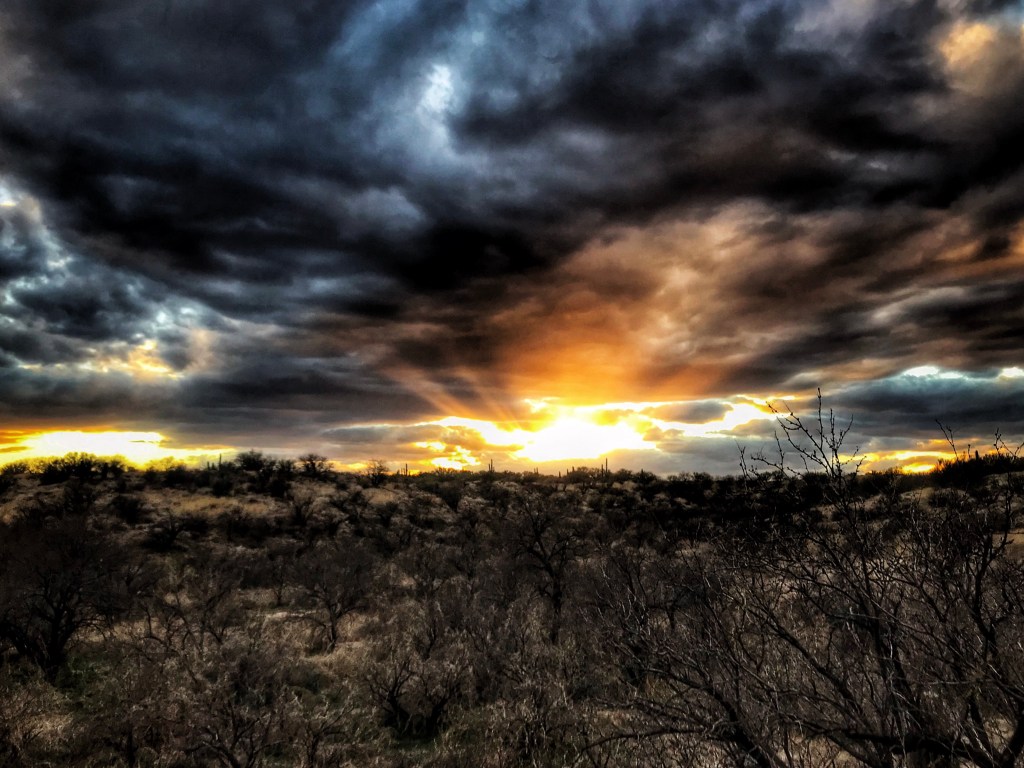
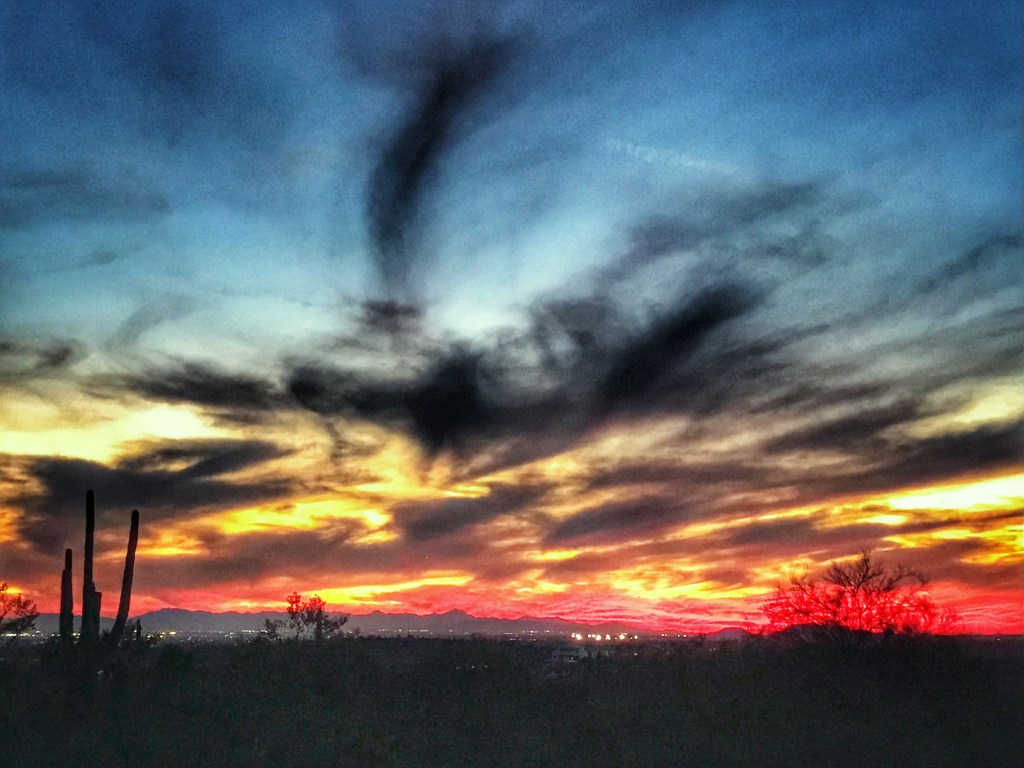
Site 106 at the base of the Superstition MtsThe Superstitions at dusk
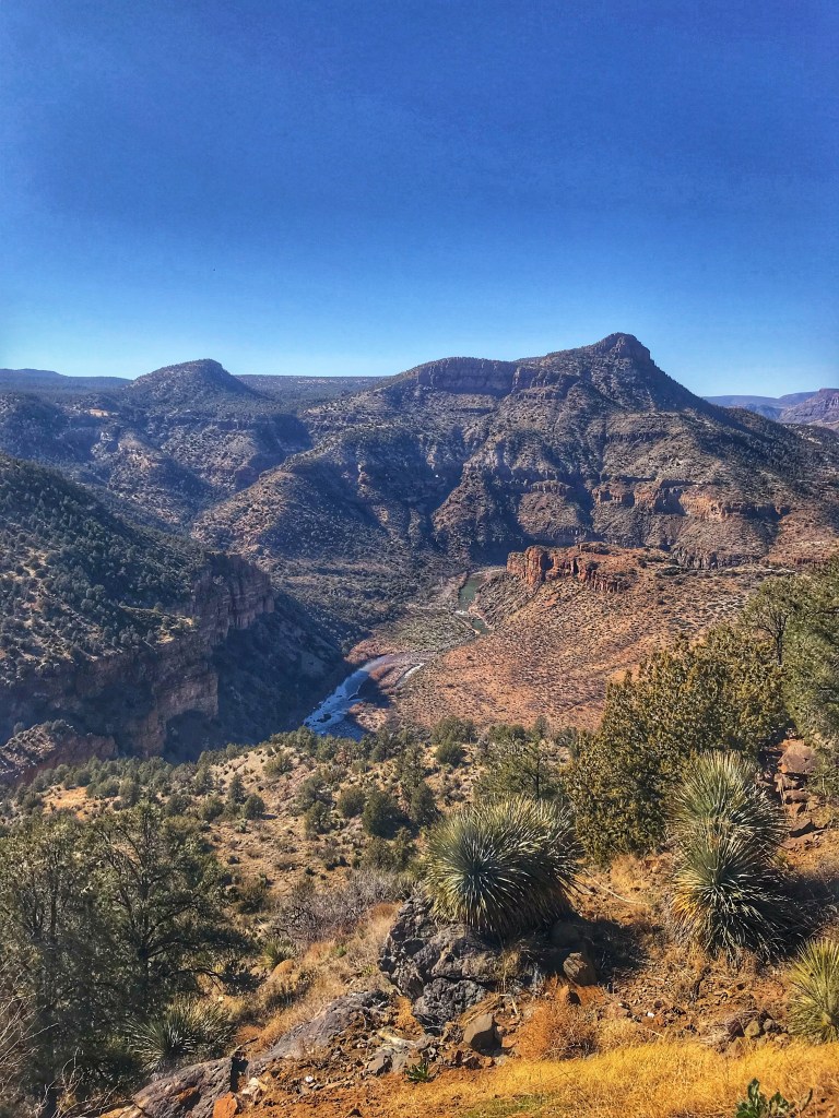
The park is a popular weekend destination for hikers. To avoid the crowds on the trail we did a scenic drive to the Salt River Canyon with a stop in Globe.
The Salt River
The Salt River divides the San Carlos Apache and Salt River Apache reservations. The Apache leader Geronimo once called this area home.
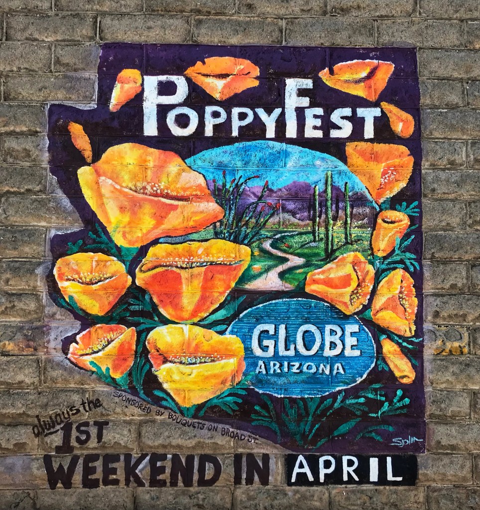
In 1875 silver was discovered on the San Carlos Reservation. The mining camp then relocated to what is now Globe Arizona which was incorporated in 1876. In 1880 copper mining took off and Globe grew along with it.
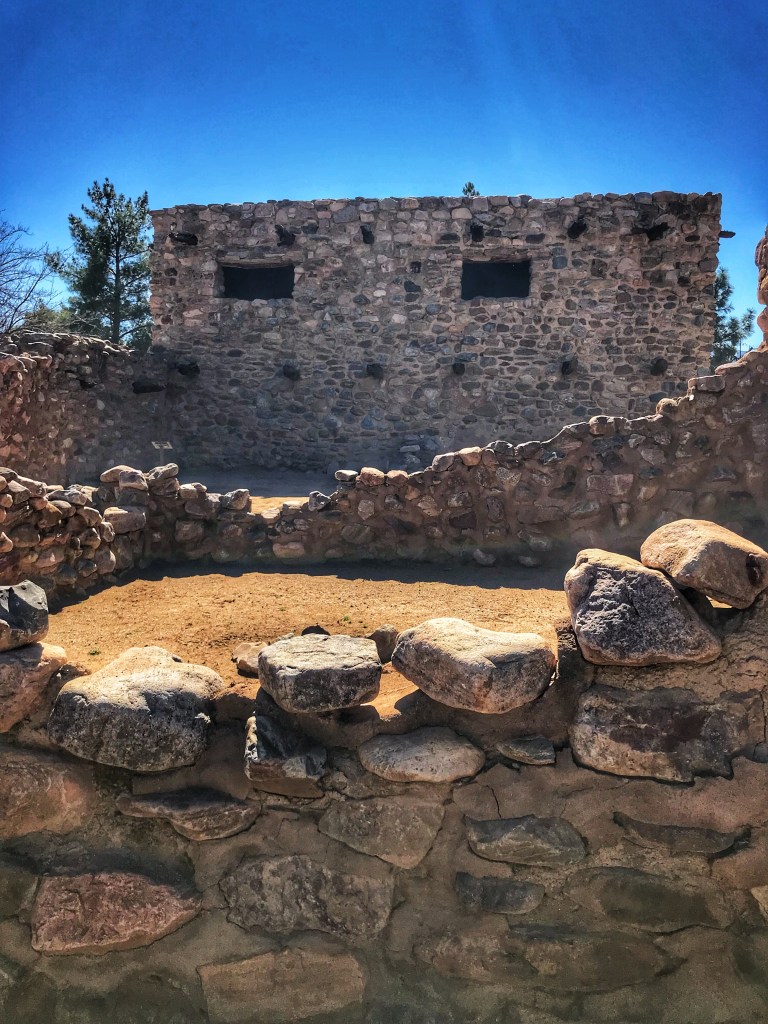
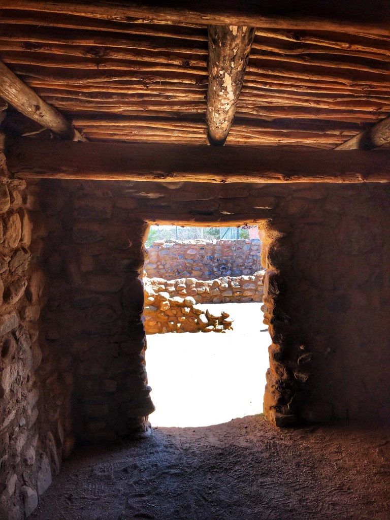
Besh-Ba-Gowan is an ancient 200 room pueblo of the Salado people who resided there between AD 1250 and 1450. It is located in a city park in Globe.
The site was excavated and reconstructed in the late 1930’s and was funded by the government Works Projects Administration.
The excavations uncovered a wealth of prehistoric artifacts. We particularly enjoyed seeing the Gila Polychrome pottery.
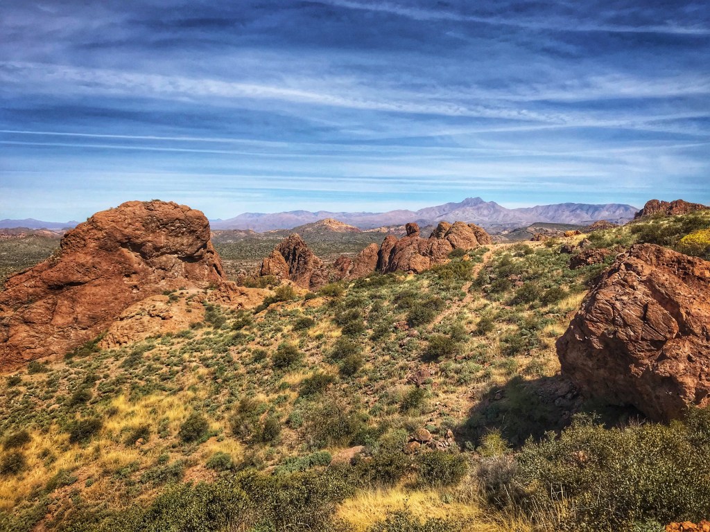
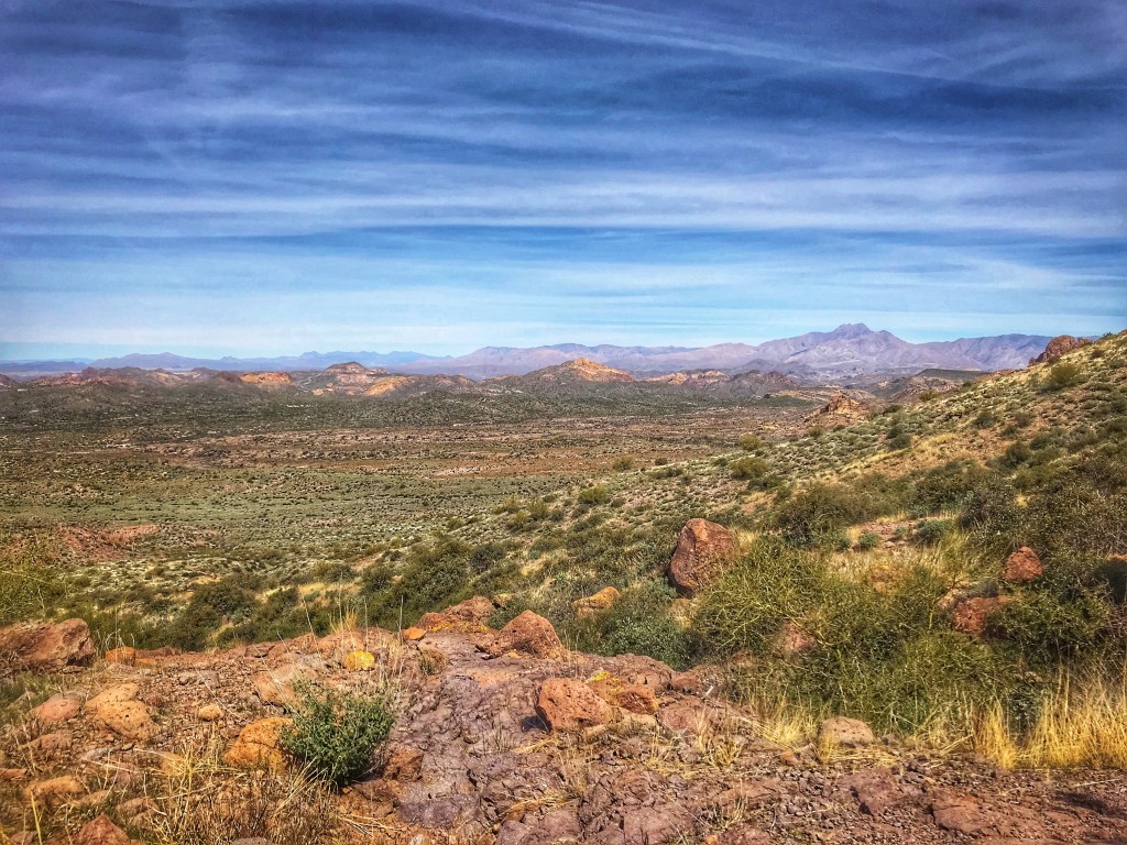
The mountain biking is limited so we spent more time hiking the trails leading up to the mountains.
Limited riding but some fabulous scenery On the Prospector View TrailAnd you do get views
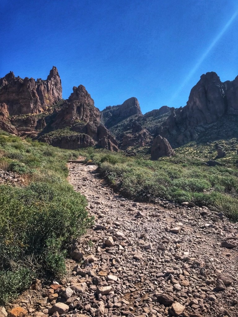
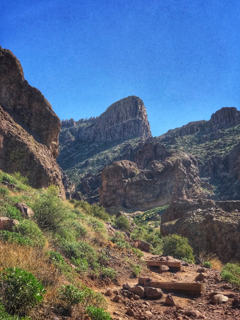
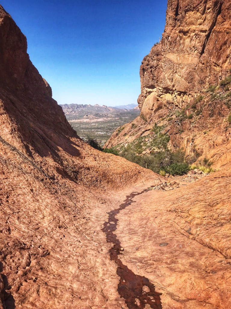
The Siphon Draw Trail is a magnet for hikers. This strenuous hike takes you up into the Superstitions with an option to go beyond the Draw to the top of the Flatiron.
The trail is rocky and steep The Flatiron A view from the mouth of the drawIn the Draw
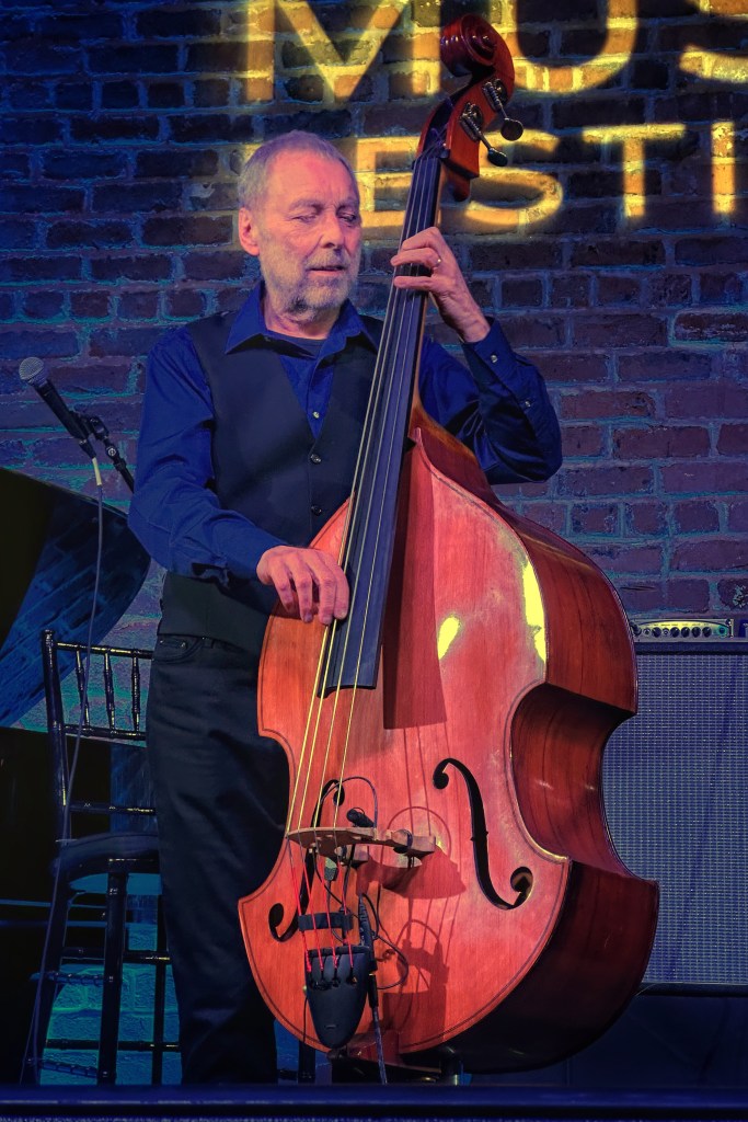
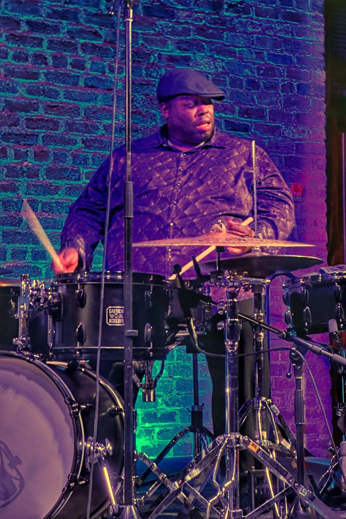
We were able to work in another concert at the Musical Instrument Museum. The Kenny Barron Trio with Kiyoshi Kitagawa on bass and Johnathan Blake on drums provided an hour and half of inspired playing.
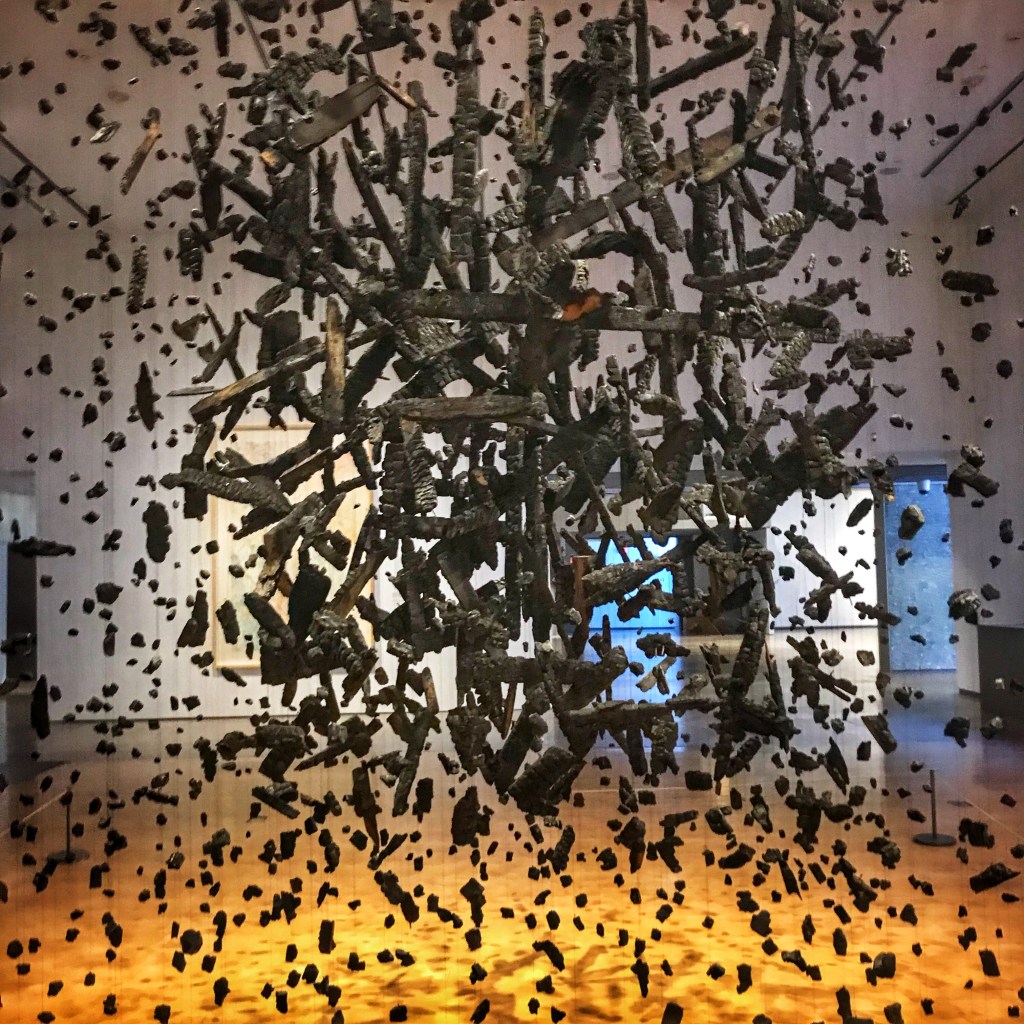
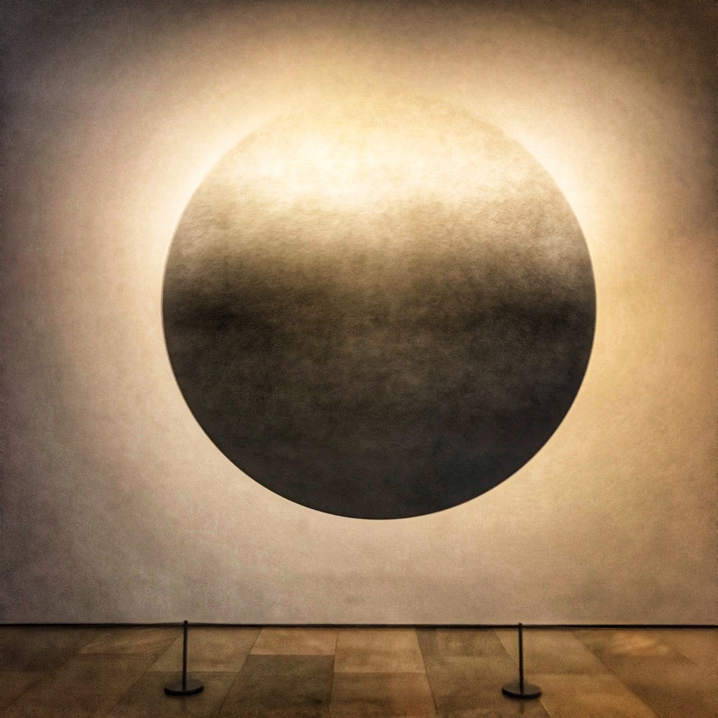
On our last day in camp we decided to make our way into town for a meal and a visit to the Phoenix Art Museum.
We primarily came to see an exhibit of post war Japanese photography Mass (Colder Darker Matter) by Cornelia ParkerWall Drawing #1146 c A sphere lit from the top by Sol LeWittThe Firefly Room by Yayoi Kusama
“Become one with eternity. Obliterate your personality. Our earth is only one polka dot among the million stars in the cosmos.”-Yayoi Kusama
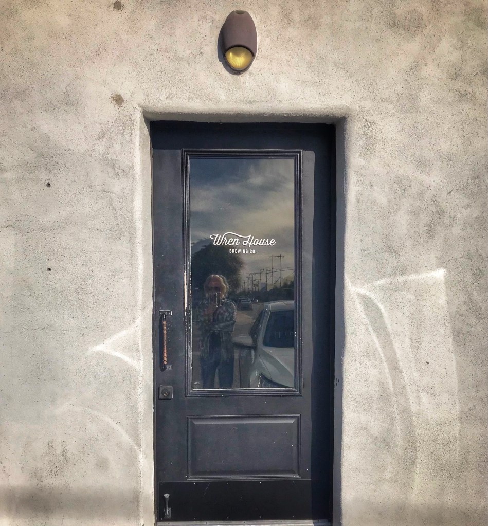
We stopped in to eat at Glai Baan which specializes in Thai street food. We highly recommend this restaurant, some of the best Thai food we’ve ever had the pleasure of eating. We then wandered down 24th street to sample the offerings at Wren House Brewing. This brewery is highly rated for good reason.
Our week went by quickly as it always seems to when your enjoying yourself. There is more to explore in the area so we will be back.