We left the west valley of Phoenix and traveled 52 miles across the valley to Usery Mt. on the valley’s east side. The trip, mostly on expressway took 1 1/2 hours. The valley is included in Maricopa County which is home to over 4.7 million residents. That’s 65% of Arizona’s population. No wonder it took so long to cross the valley.
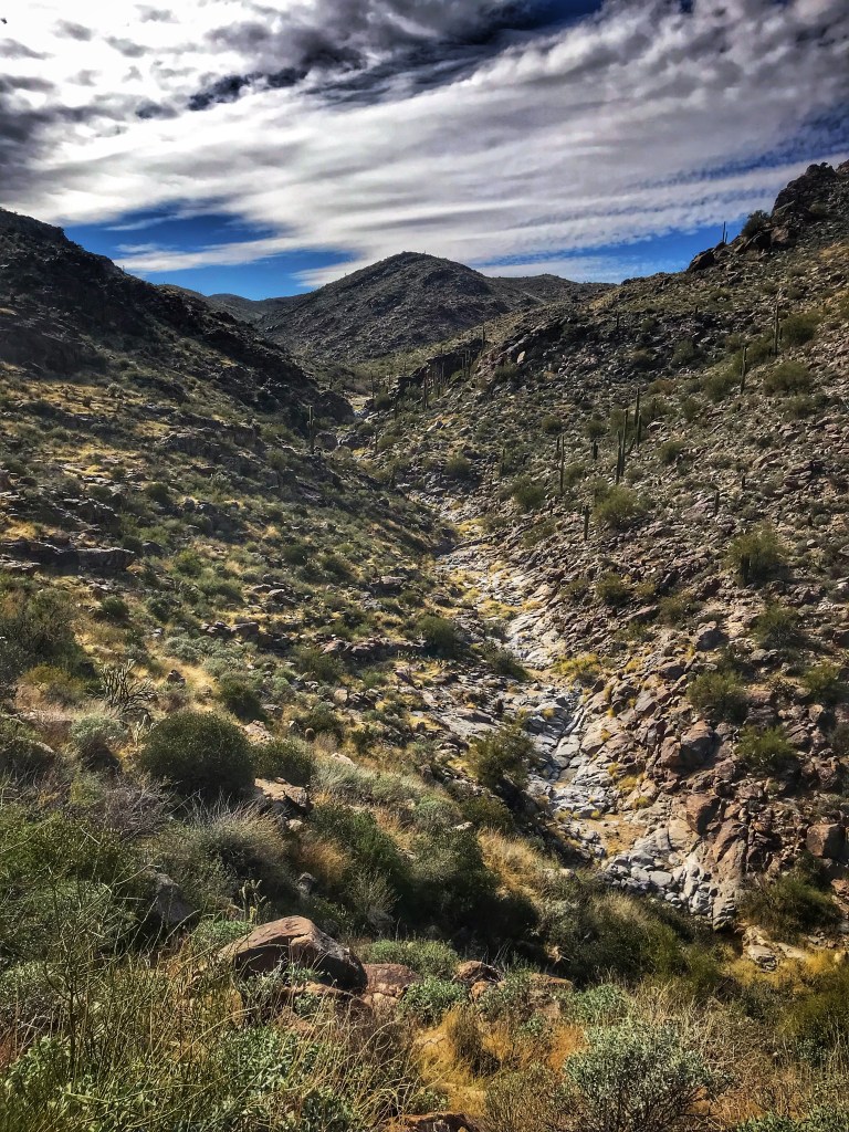
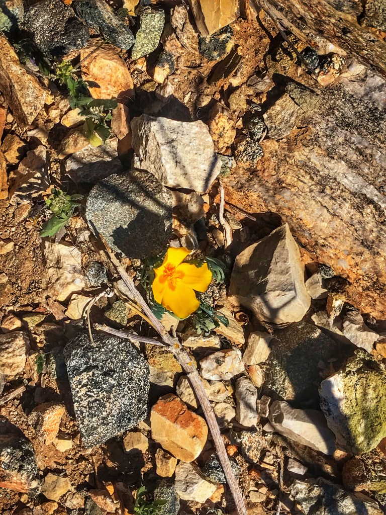
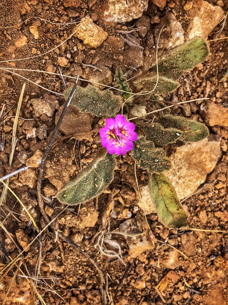
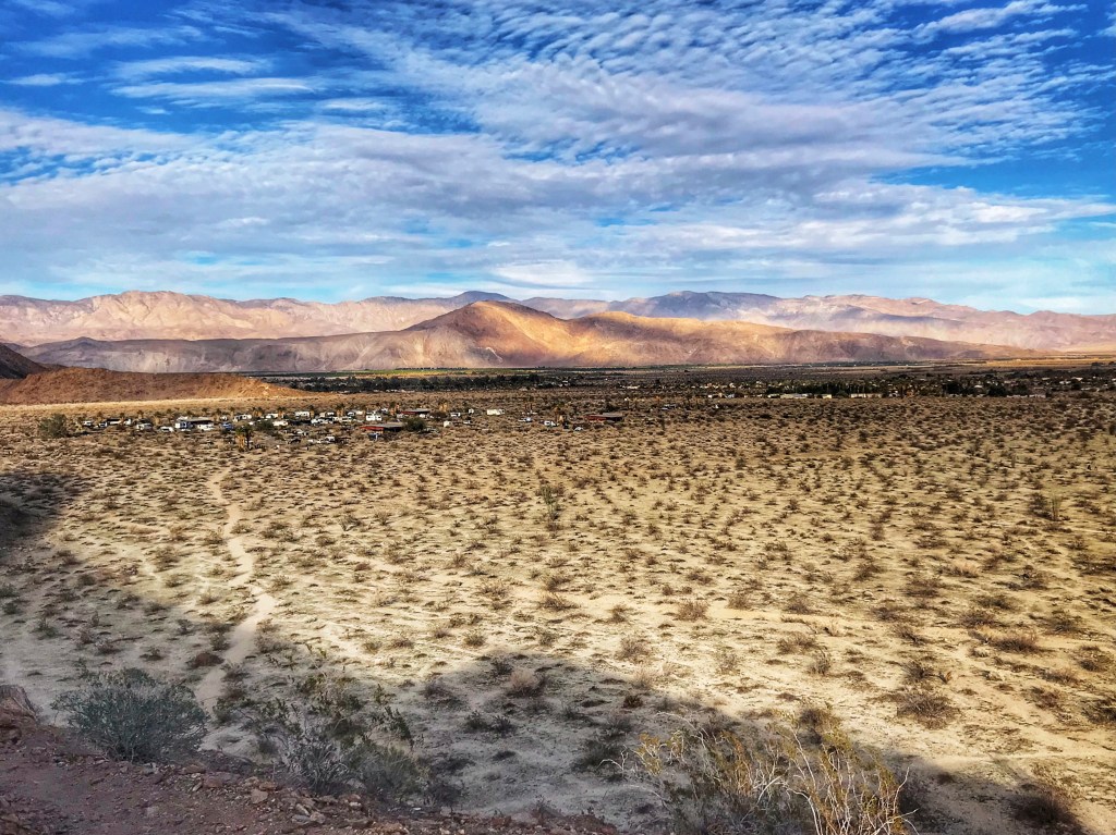
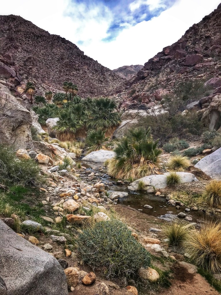
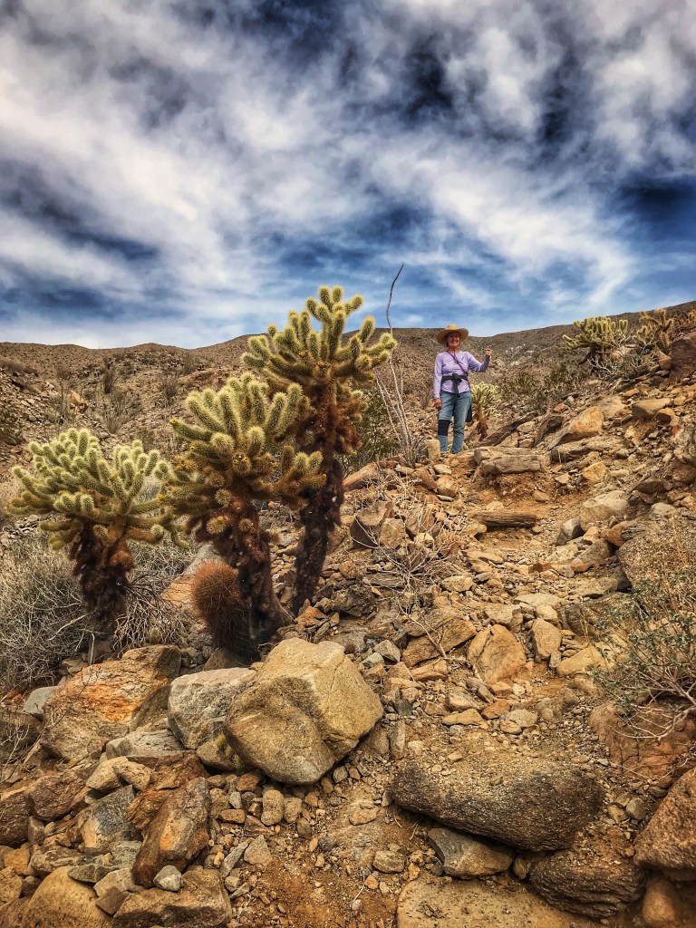
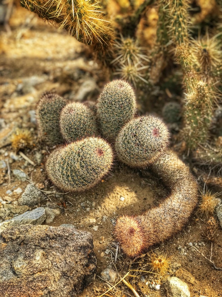
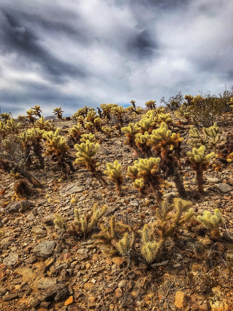
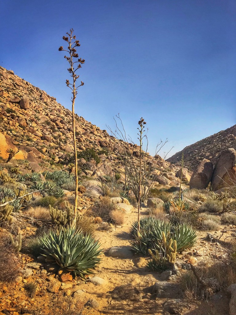
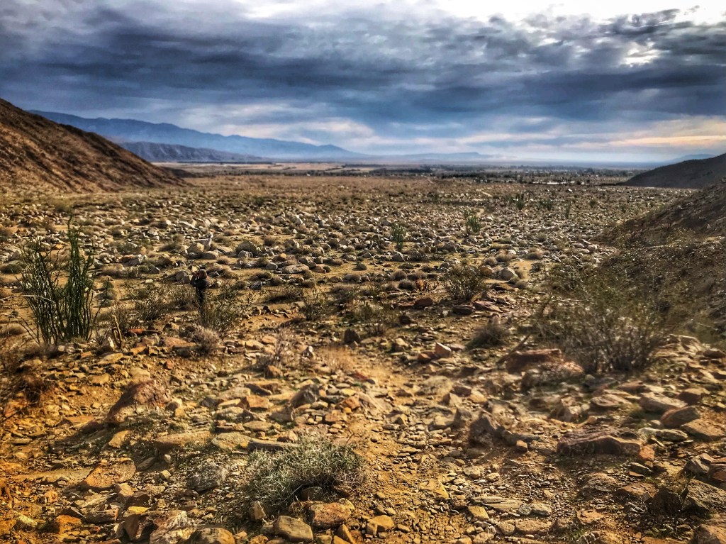
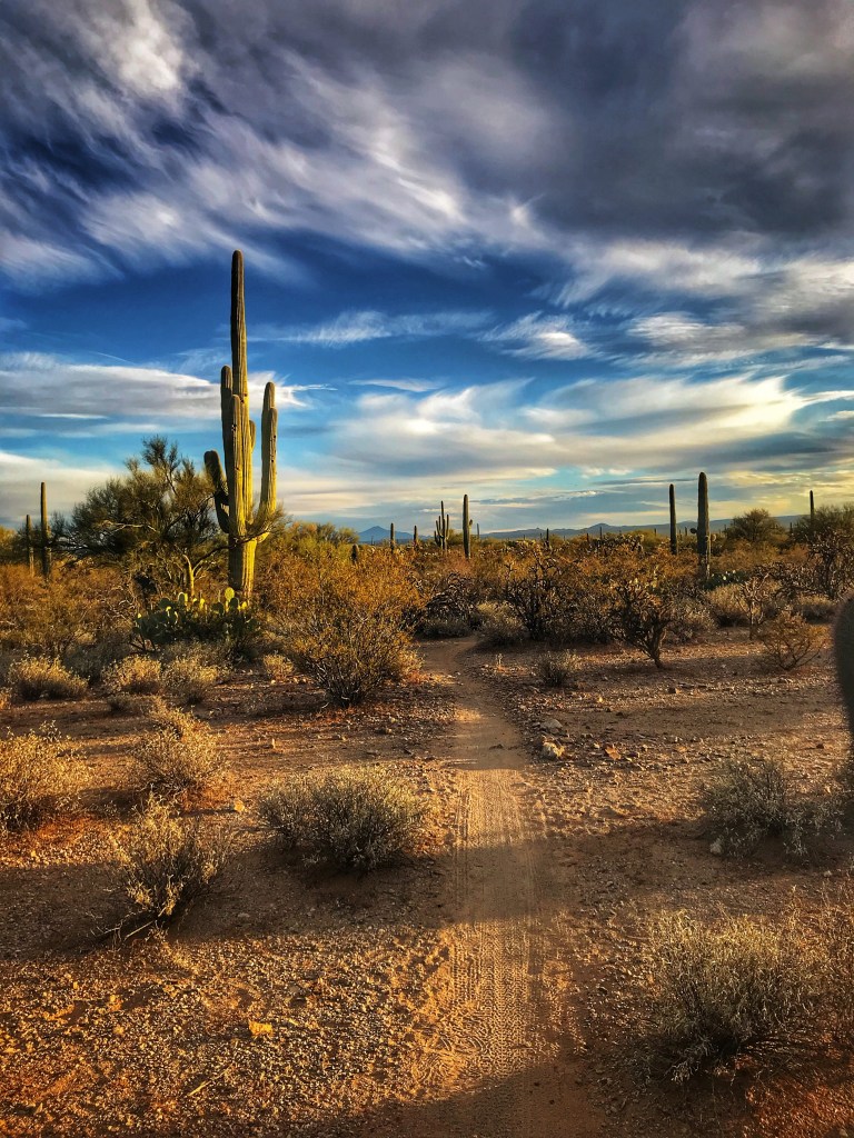
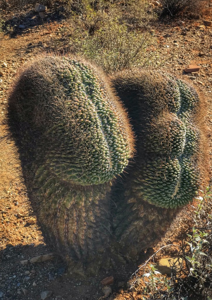
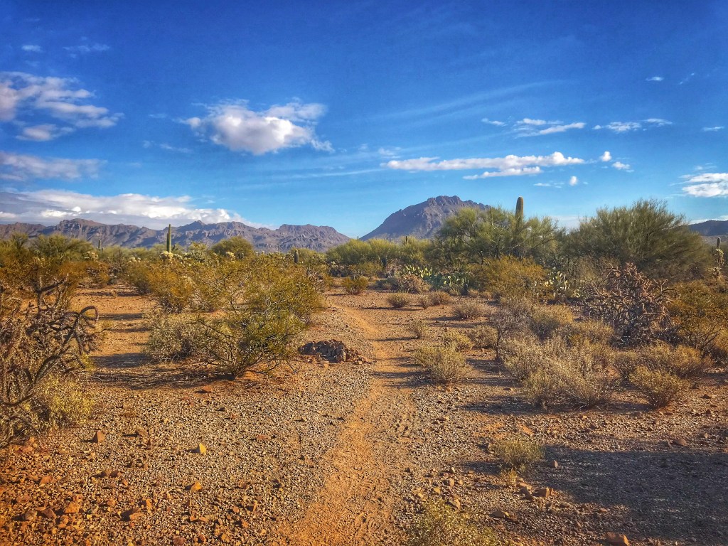
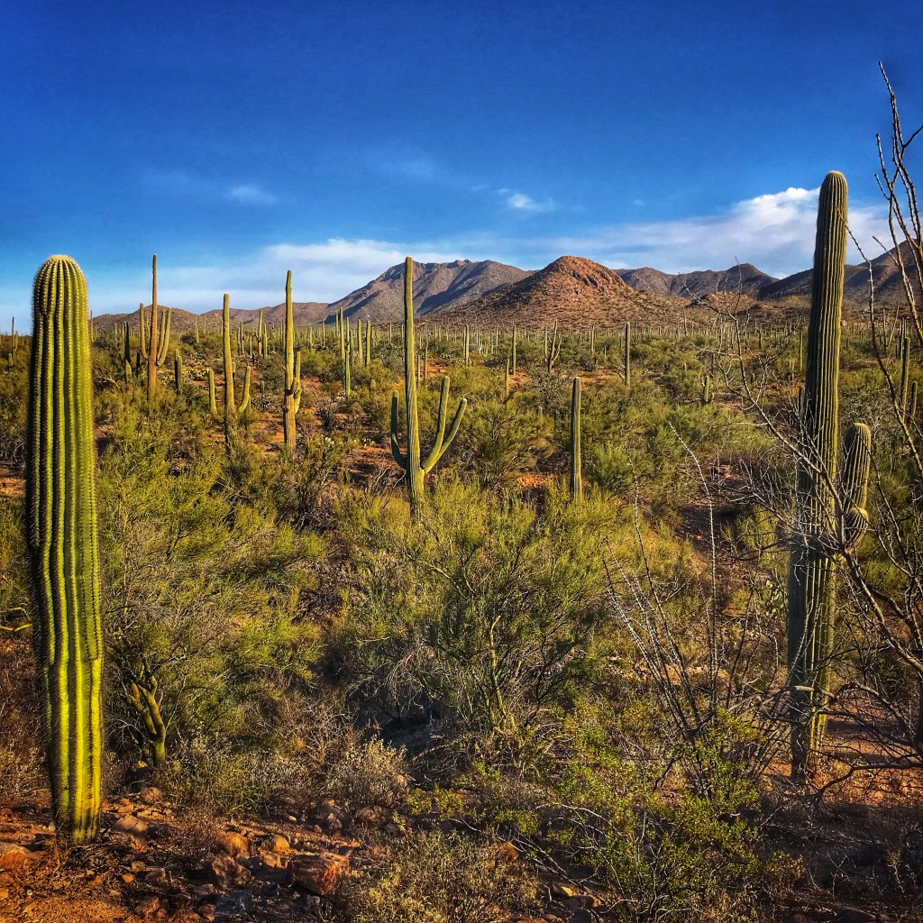
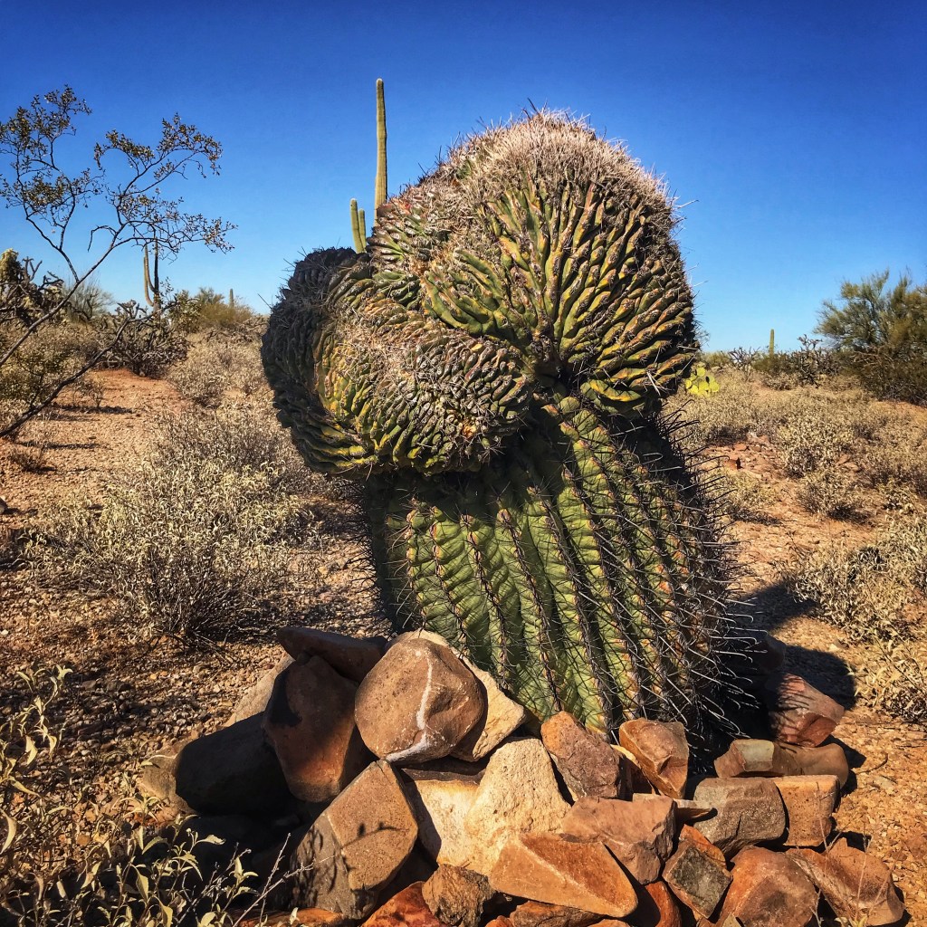
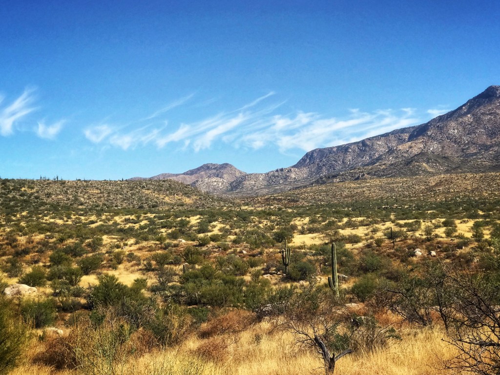
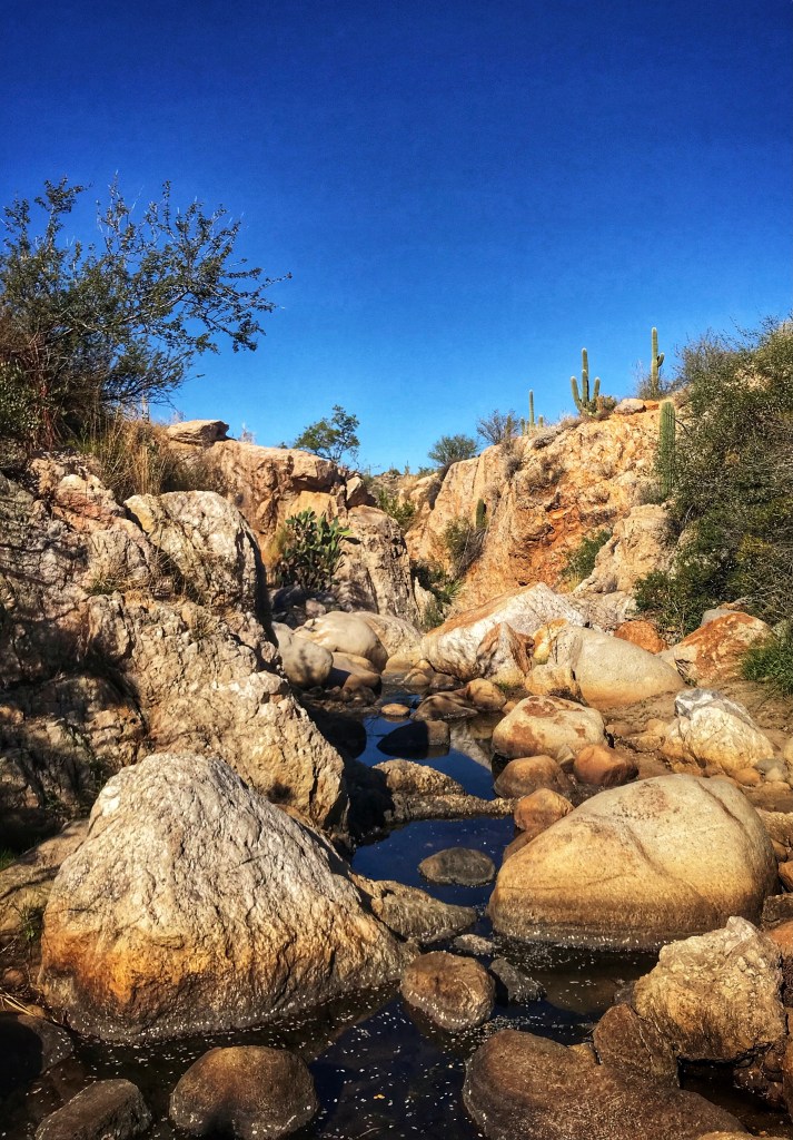
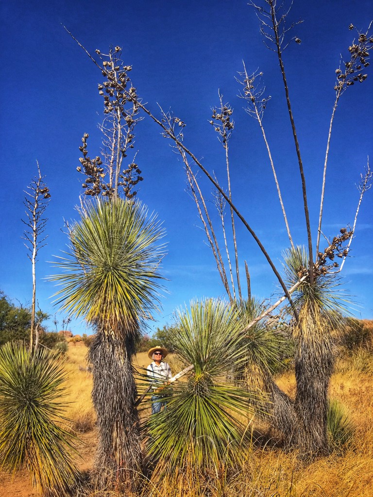
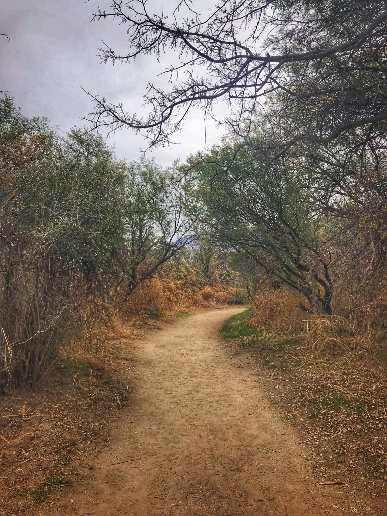
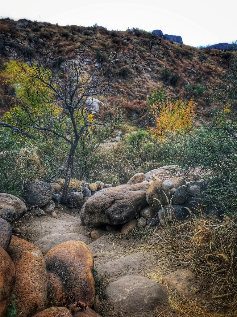
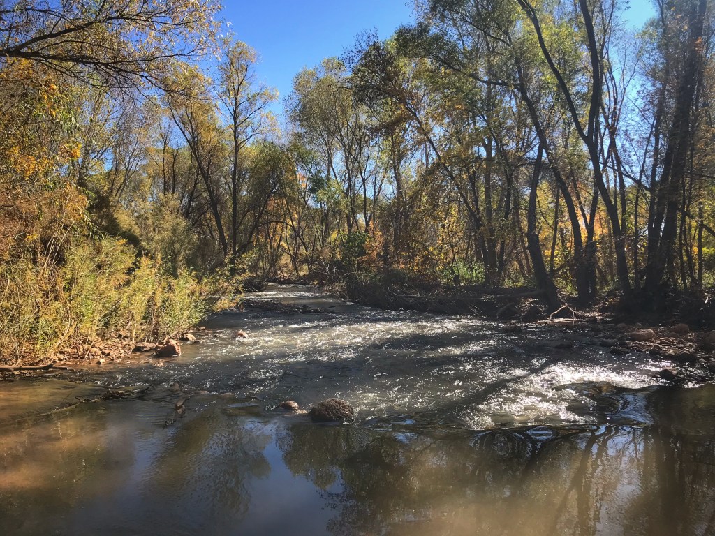
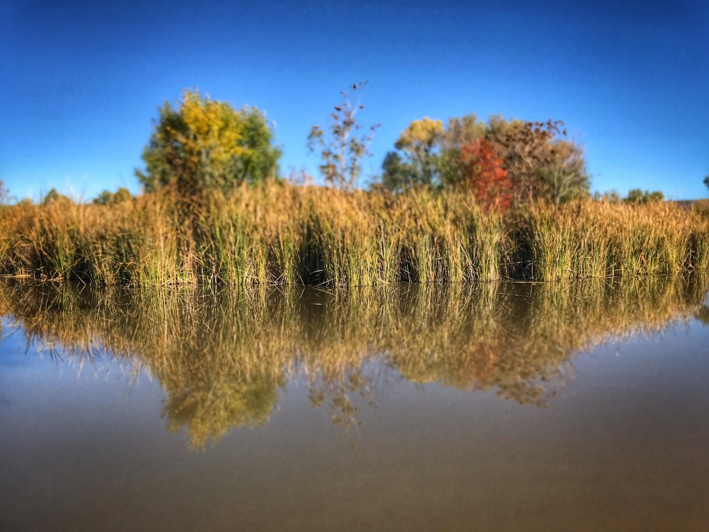
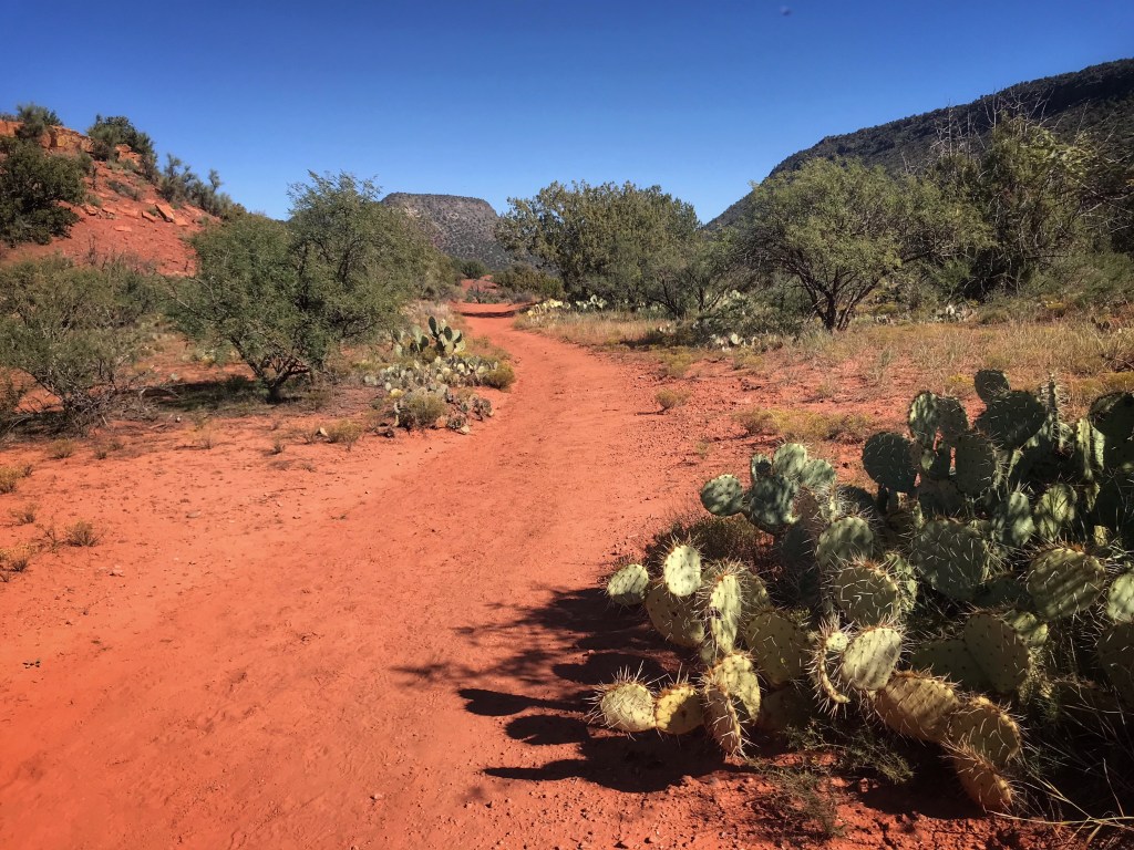
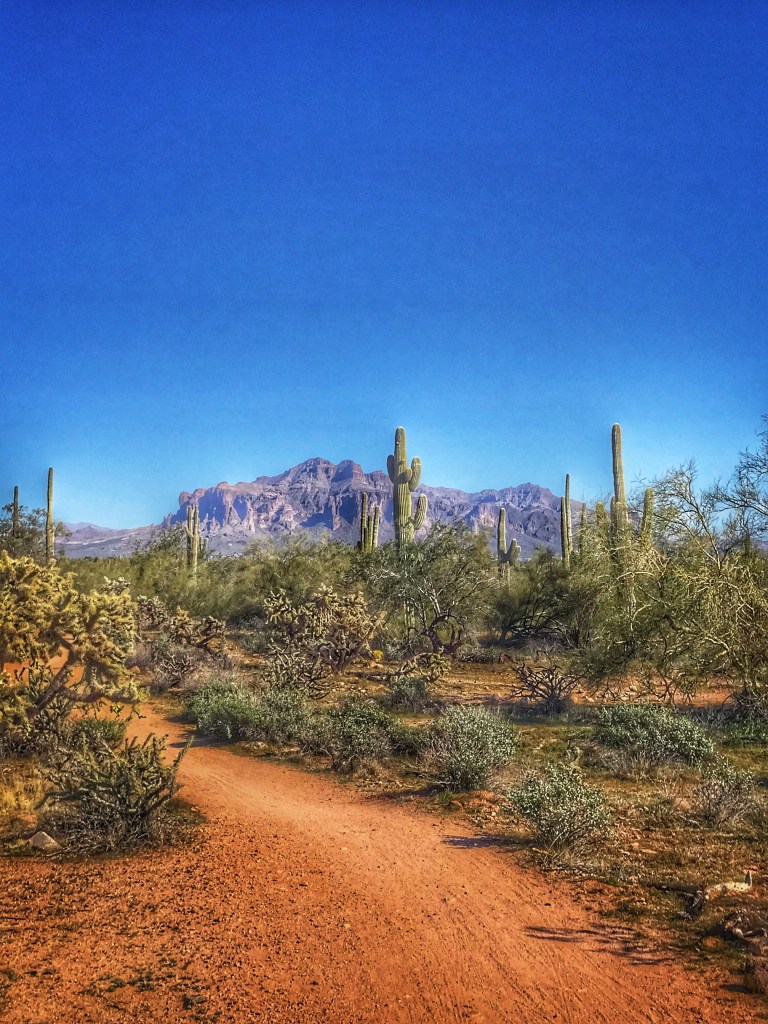
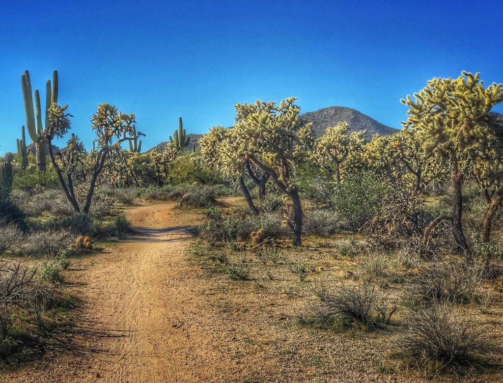
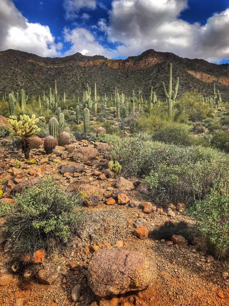
The desert on this side of the valley is greener with a greater abundance of flora. Why? This side of the valley is in the rain shadow of the Goldfield Mountains and gets more precipitation as a result.
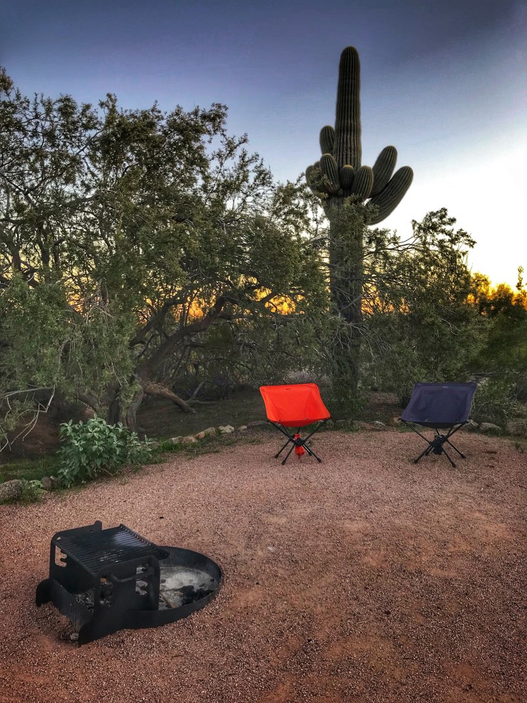
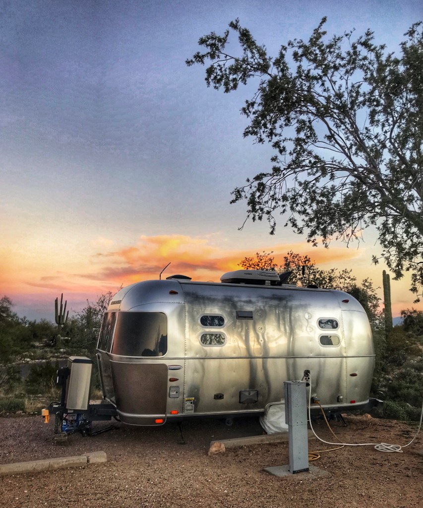
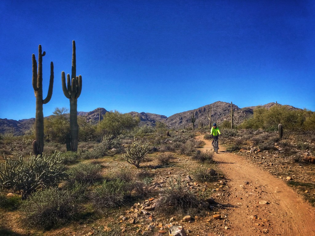
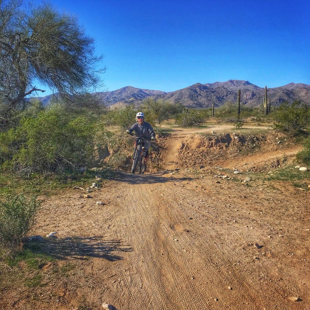
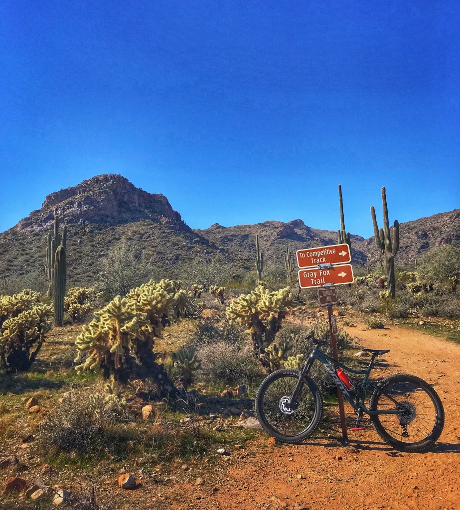
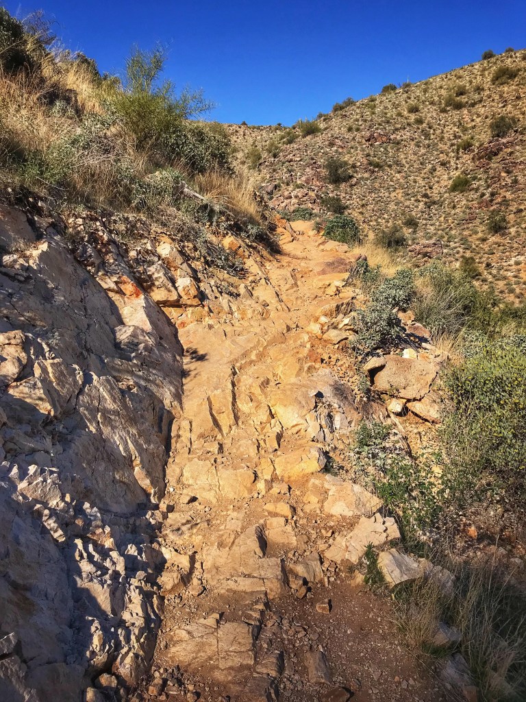
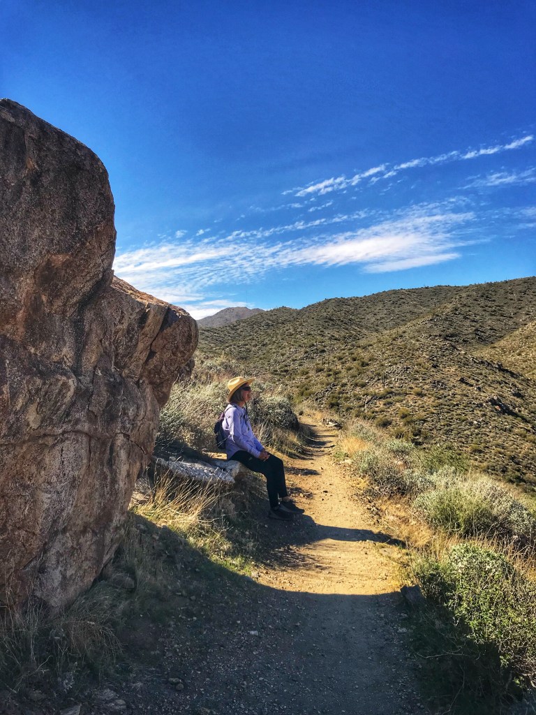
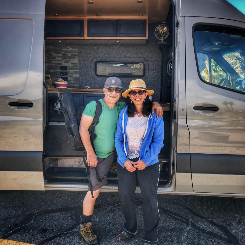
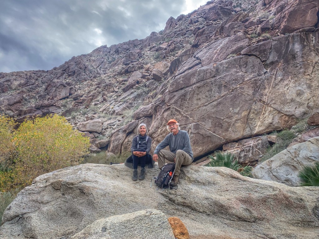
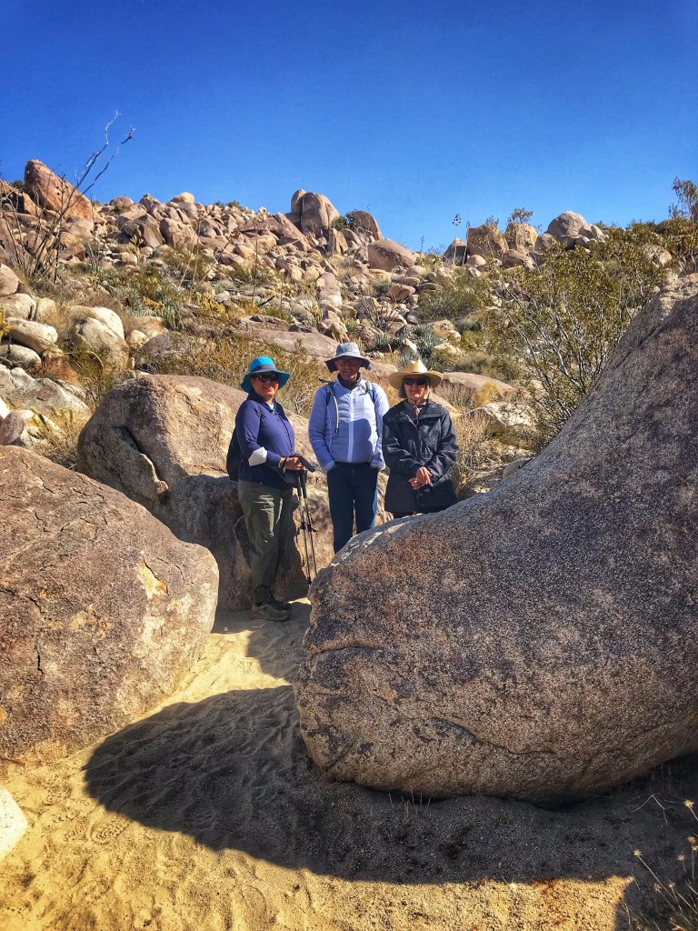
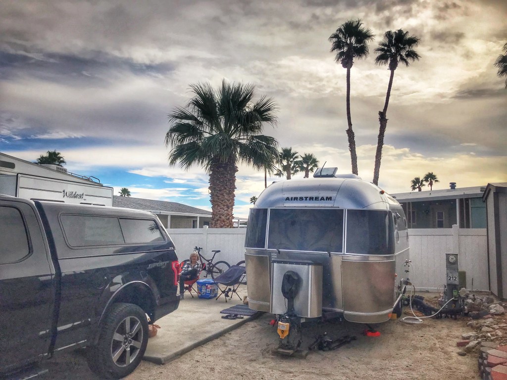
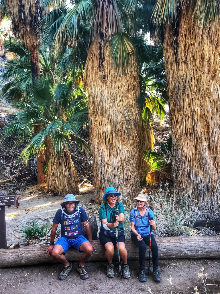
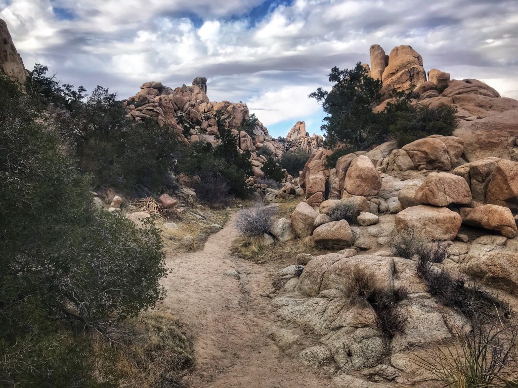
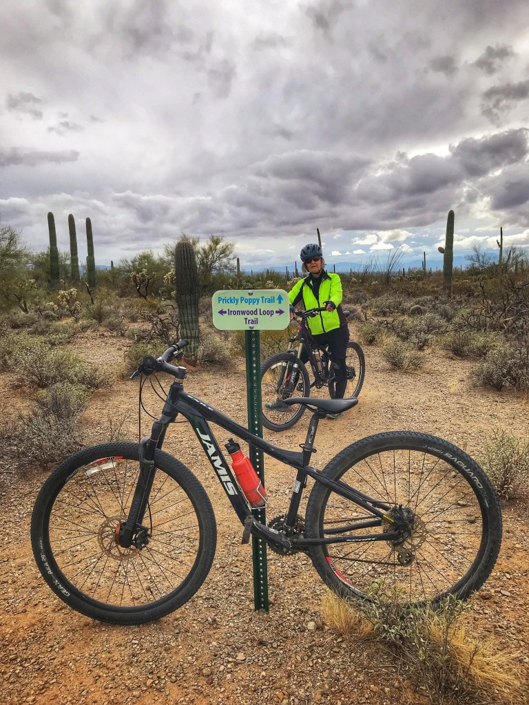
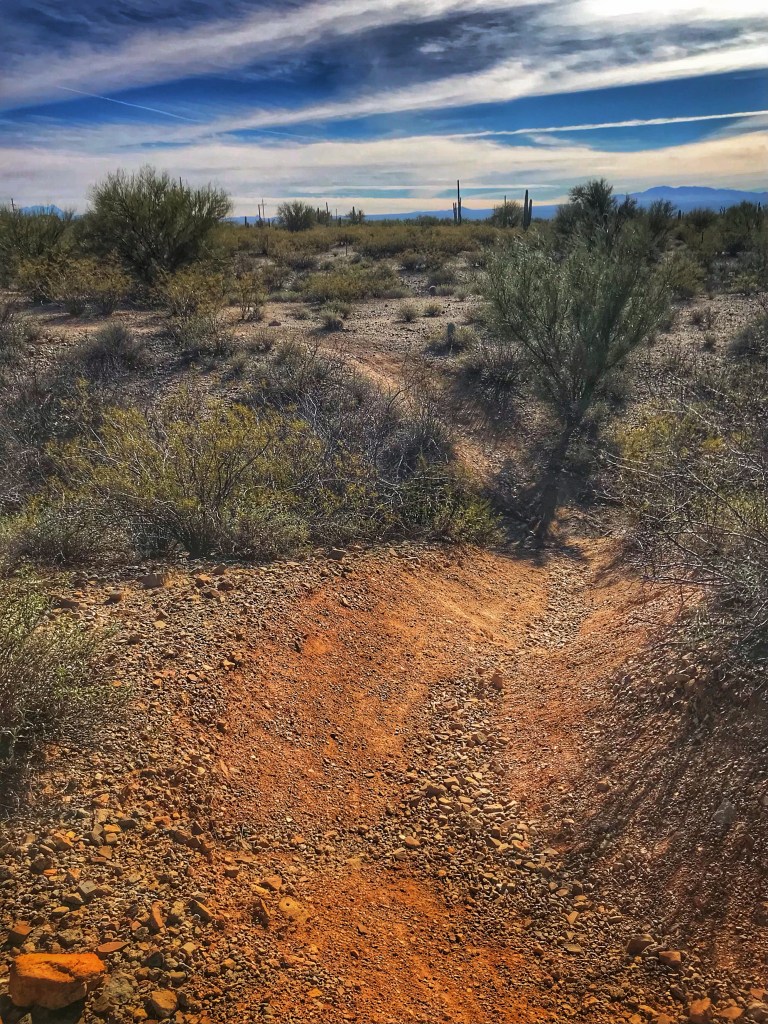
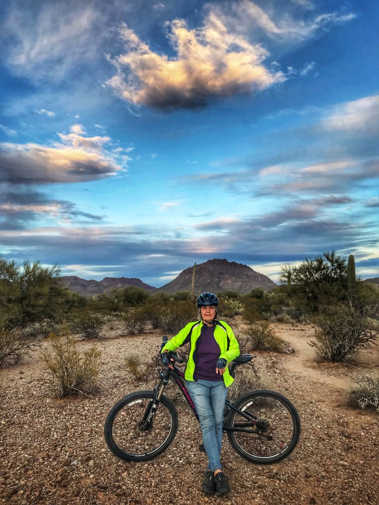
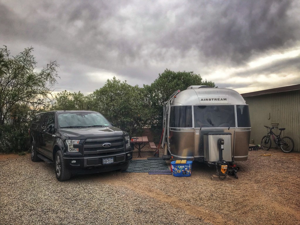
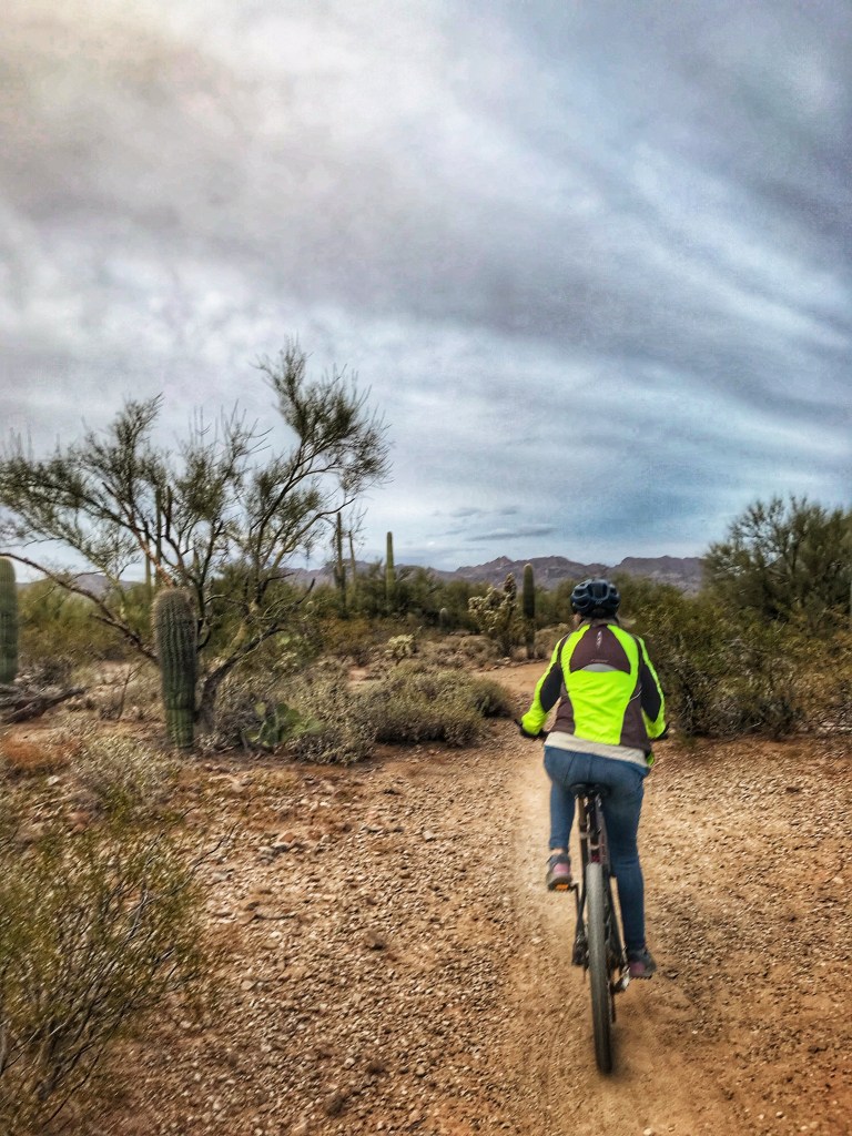
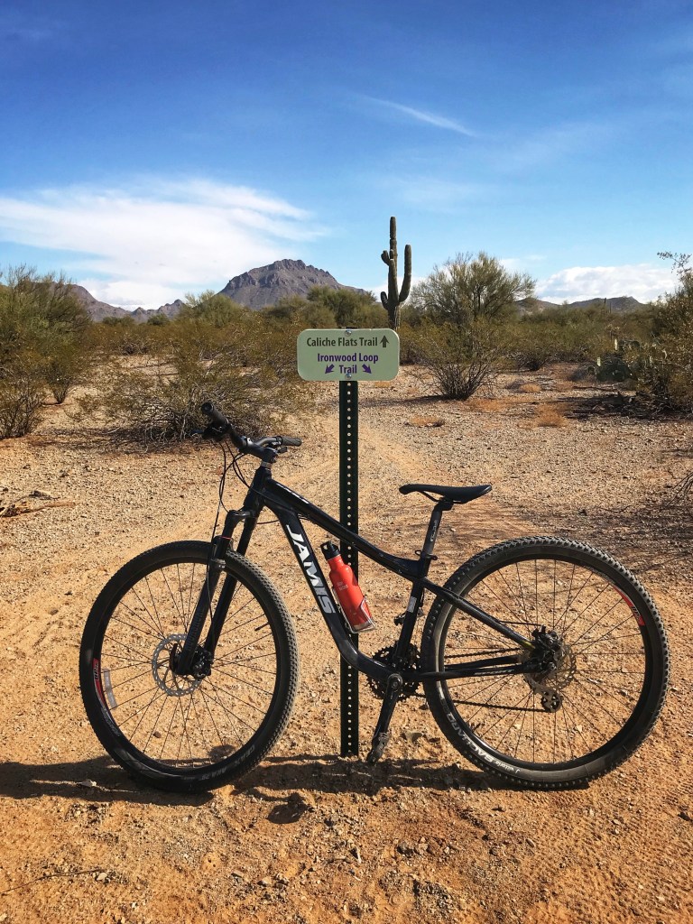
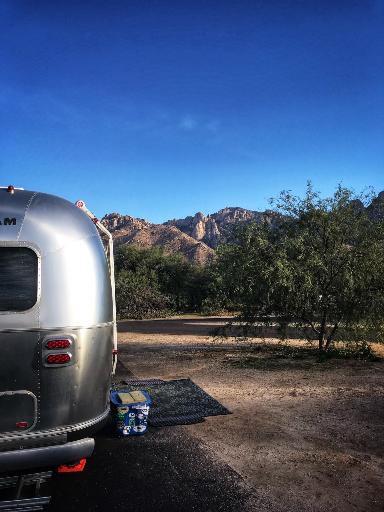
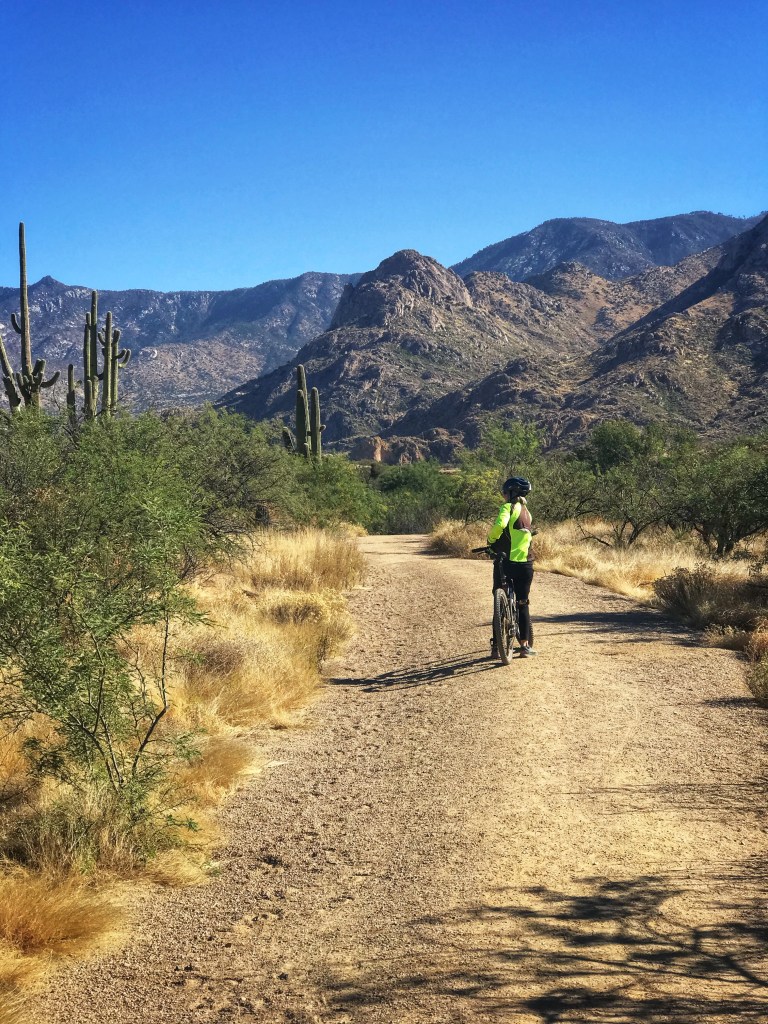
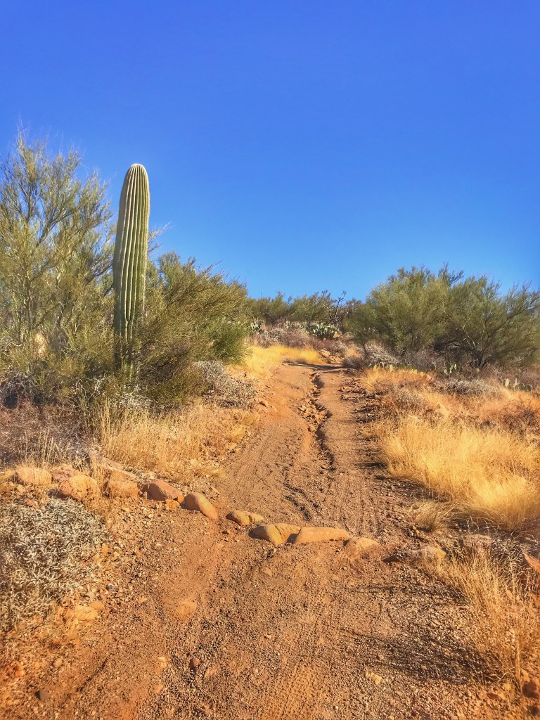
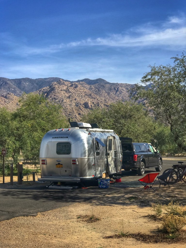
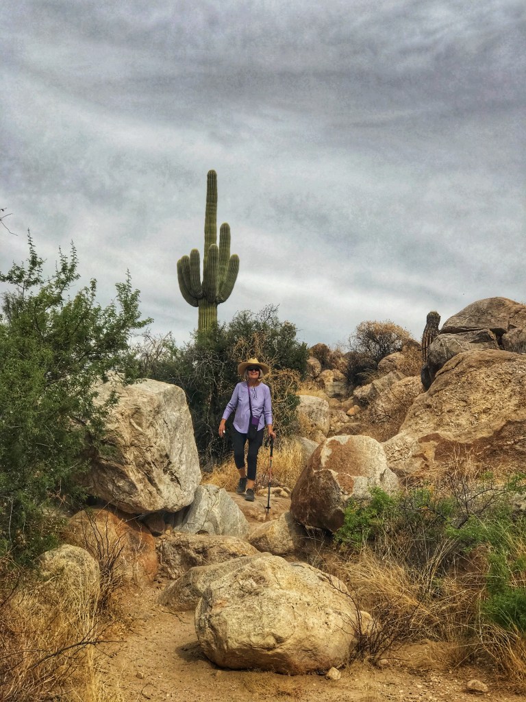
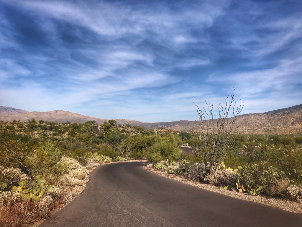
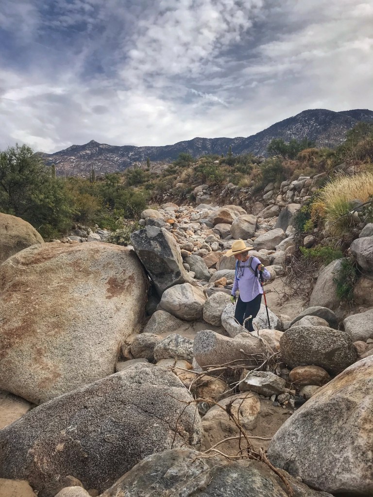
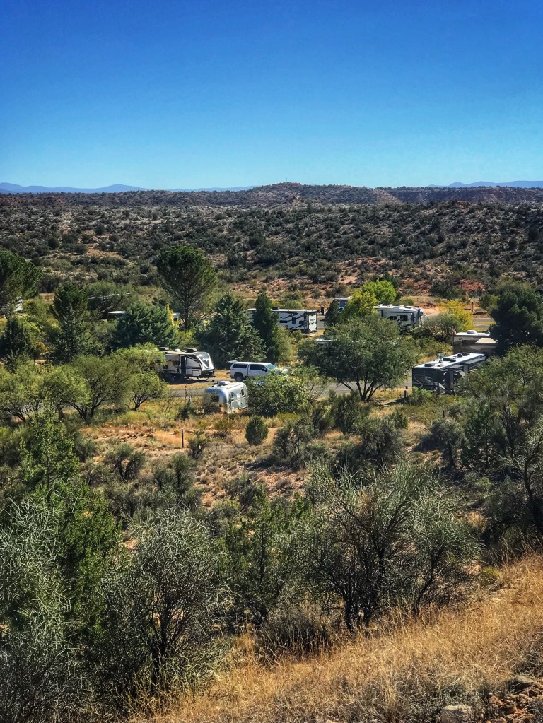
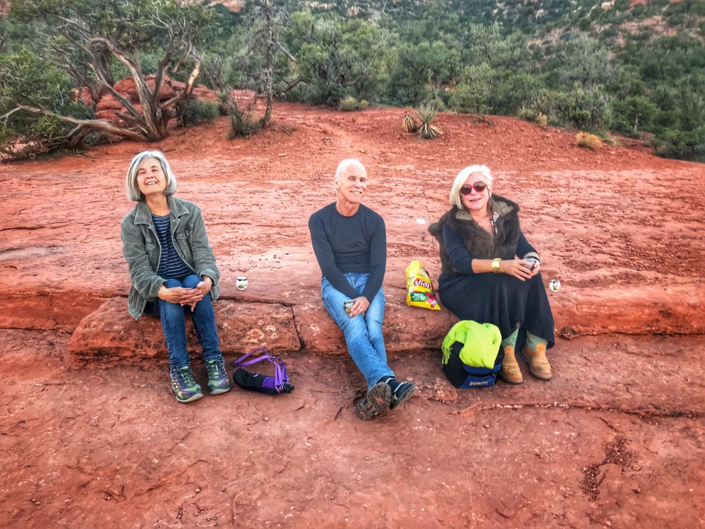
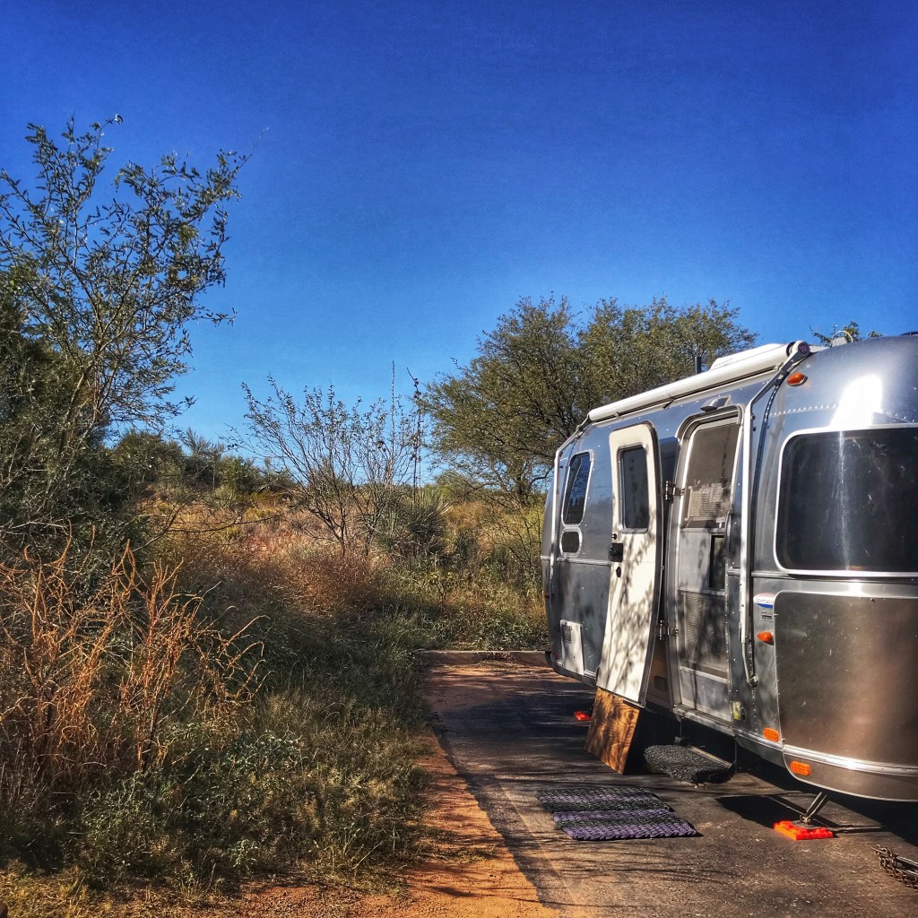
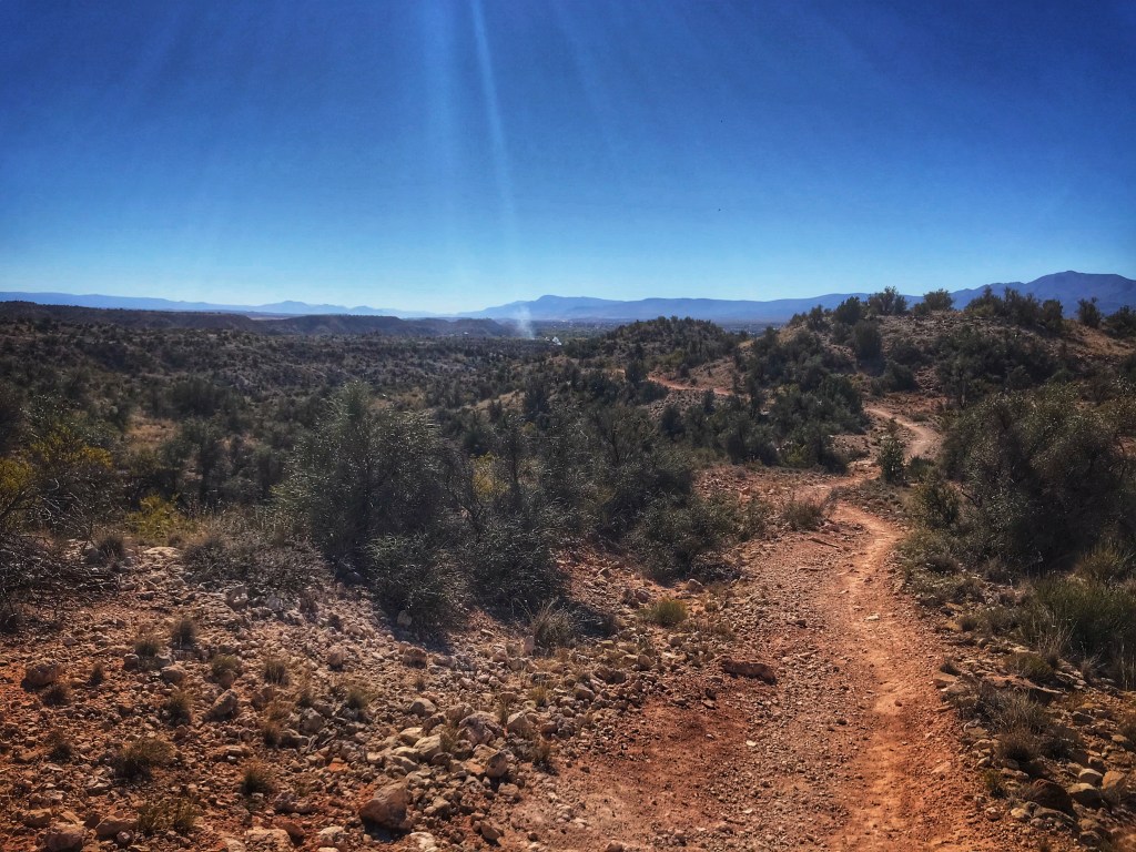
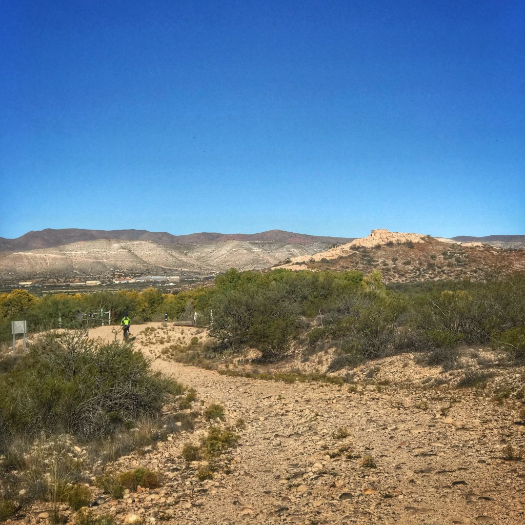
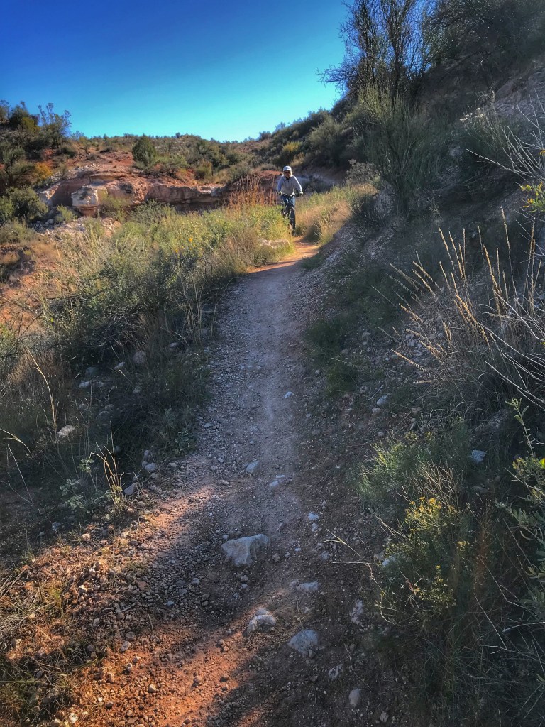
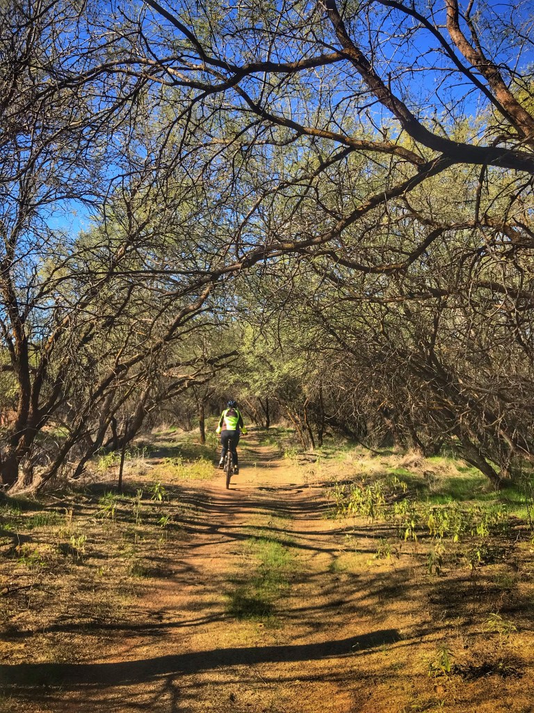
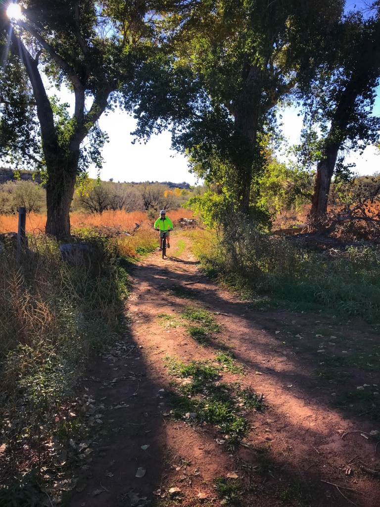
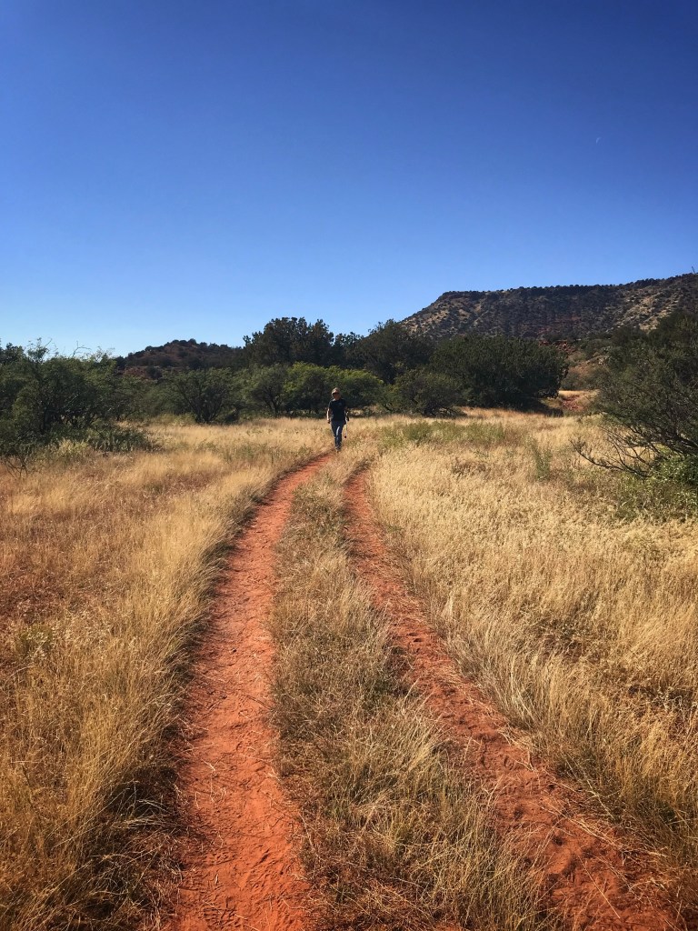
We’ve camped here before but came back for the hiking and biking. While the trails aren’t as challenging as those in White Tank they are fun to ride.
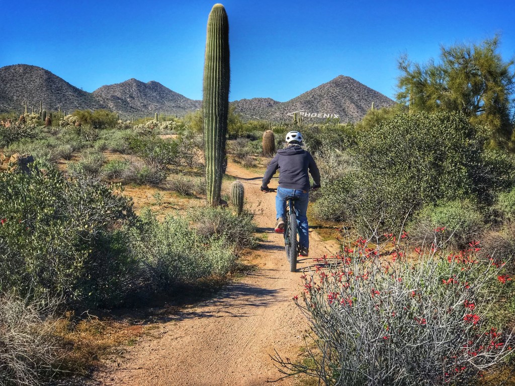

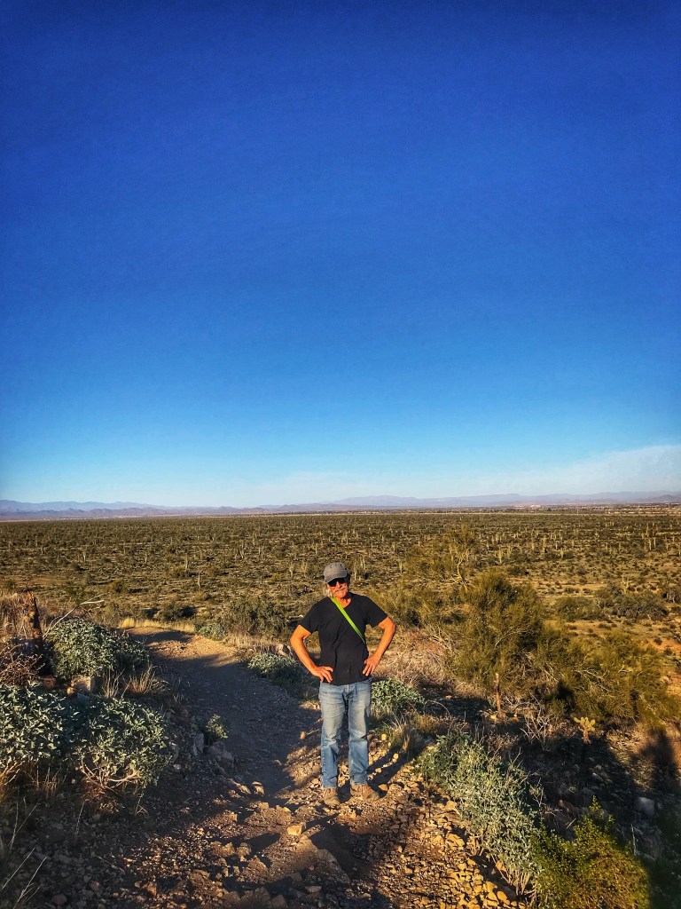
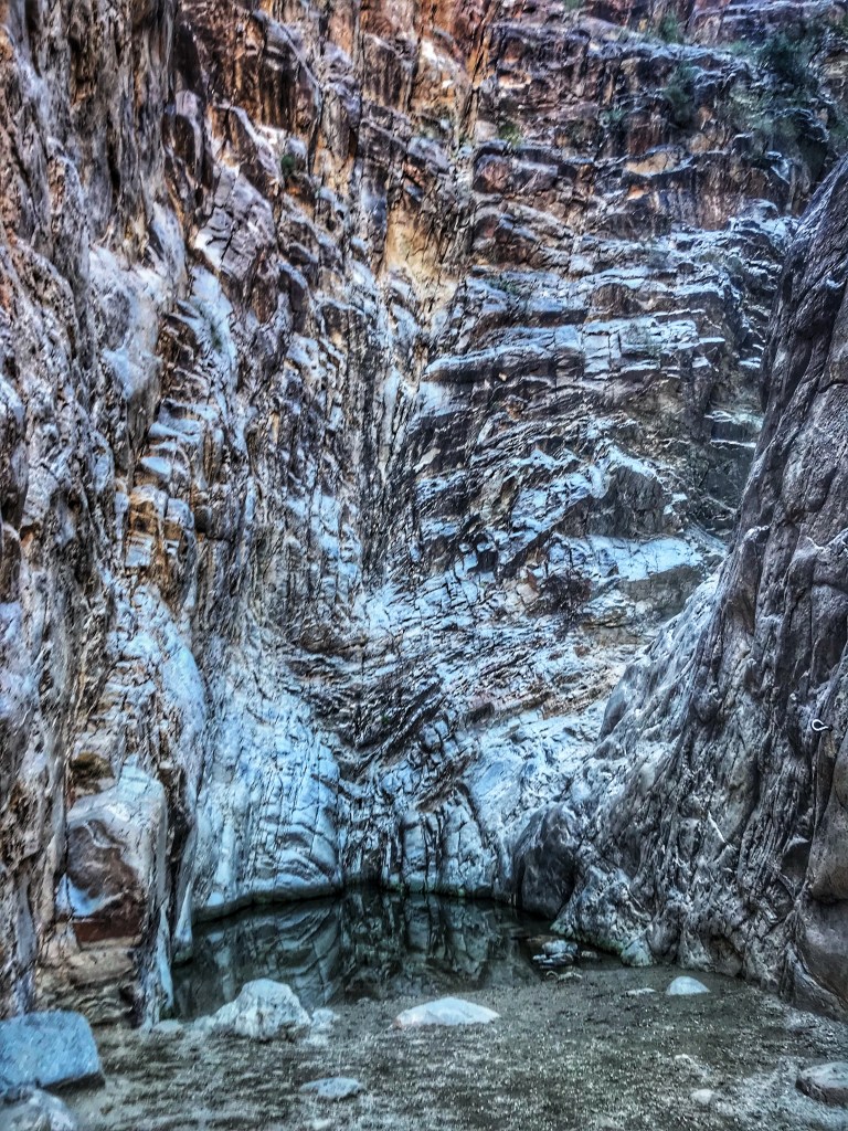
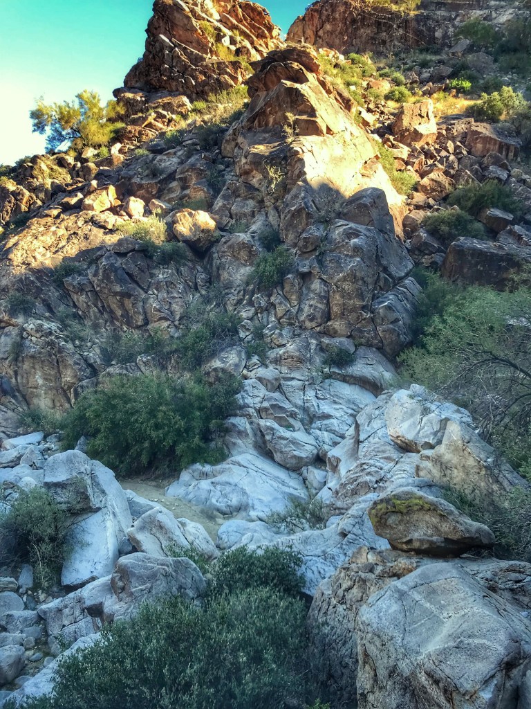
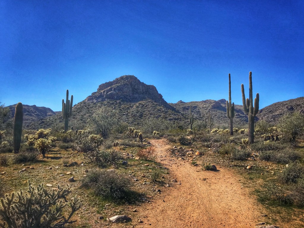
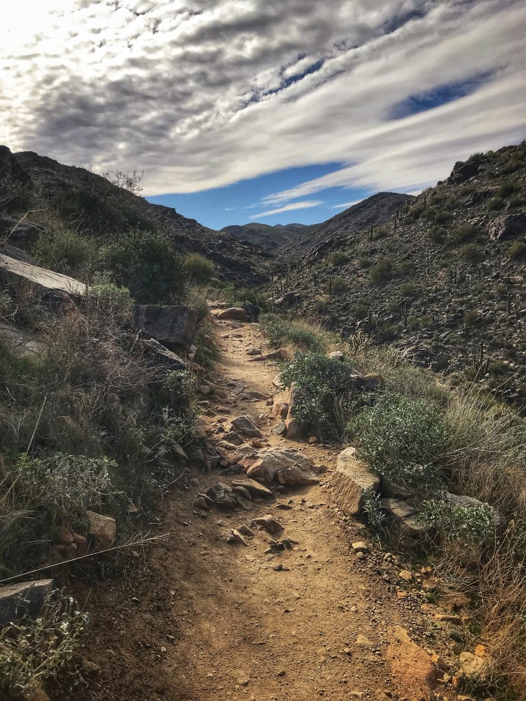
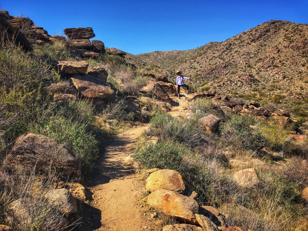
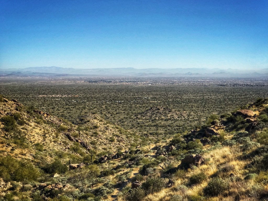
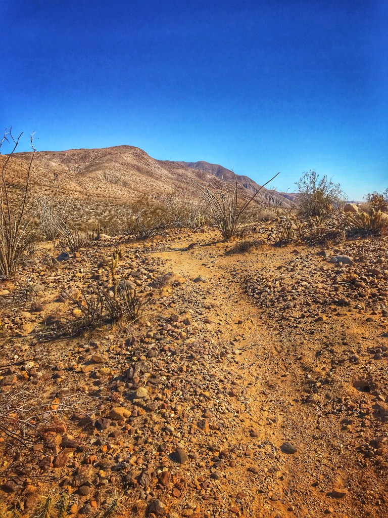
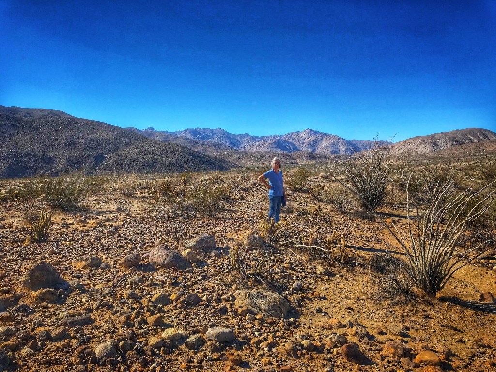
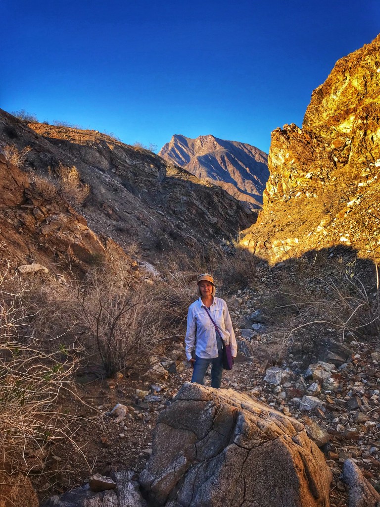
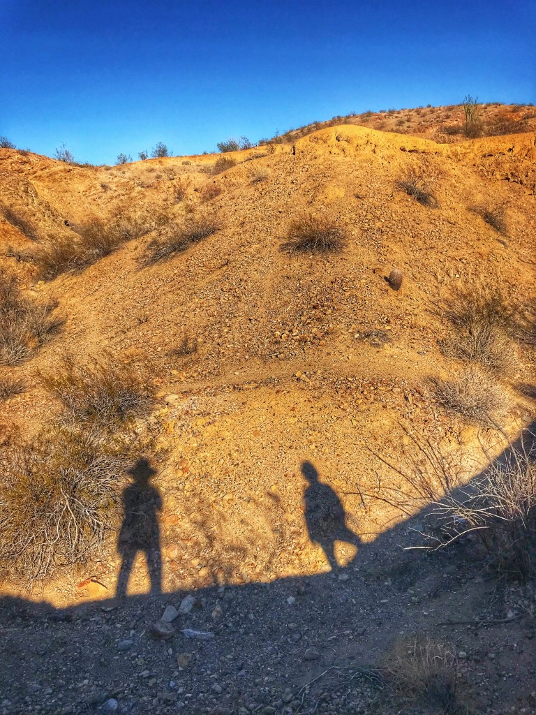
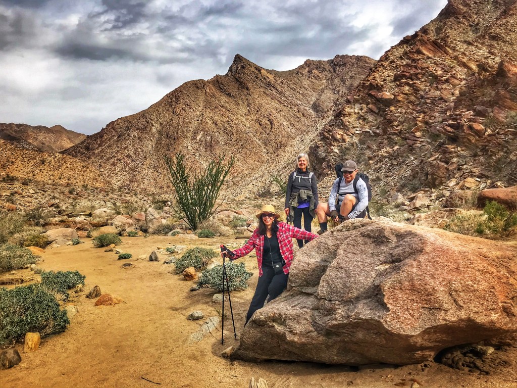
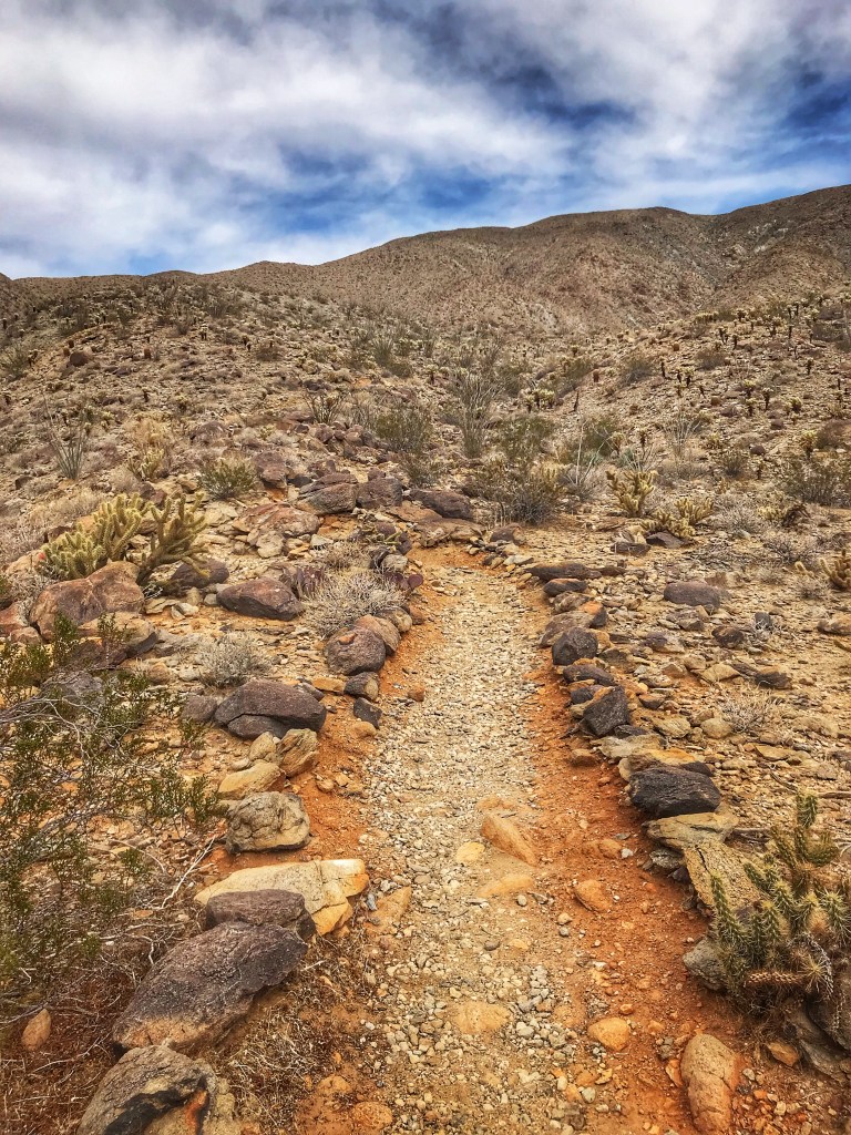
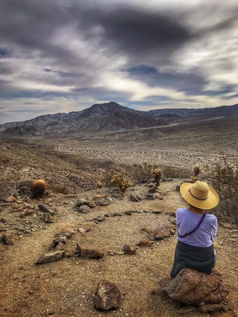
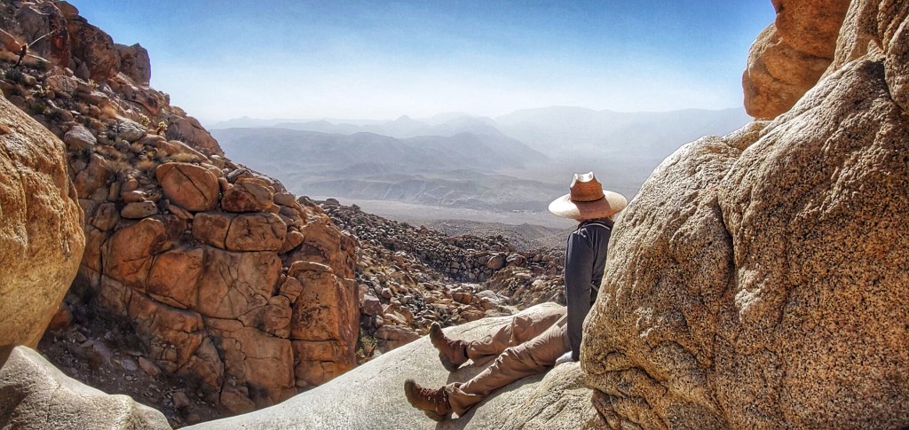
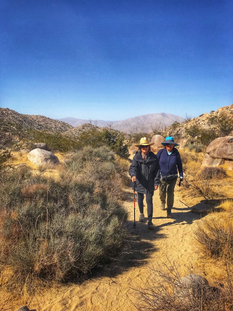
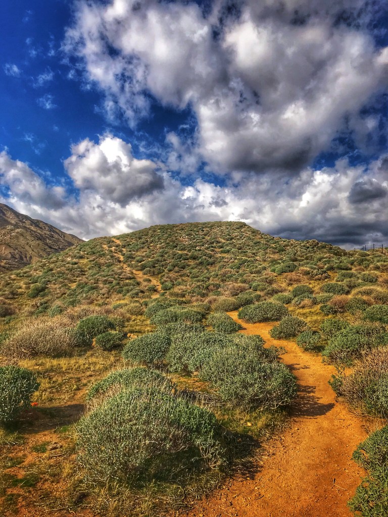
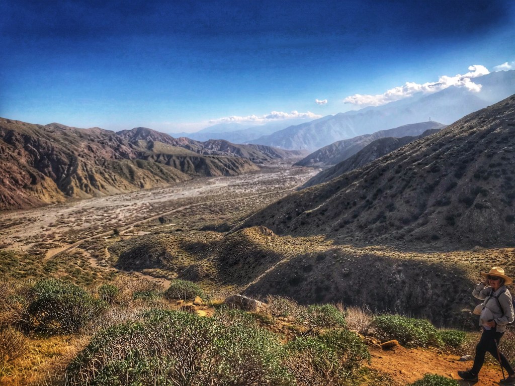
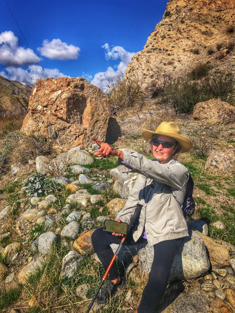
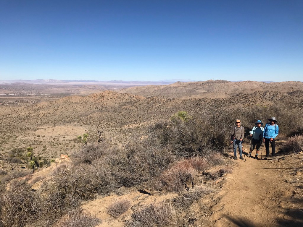
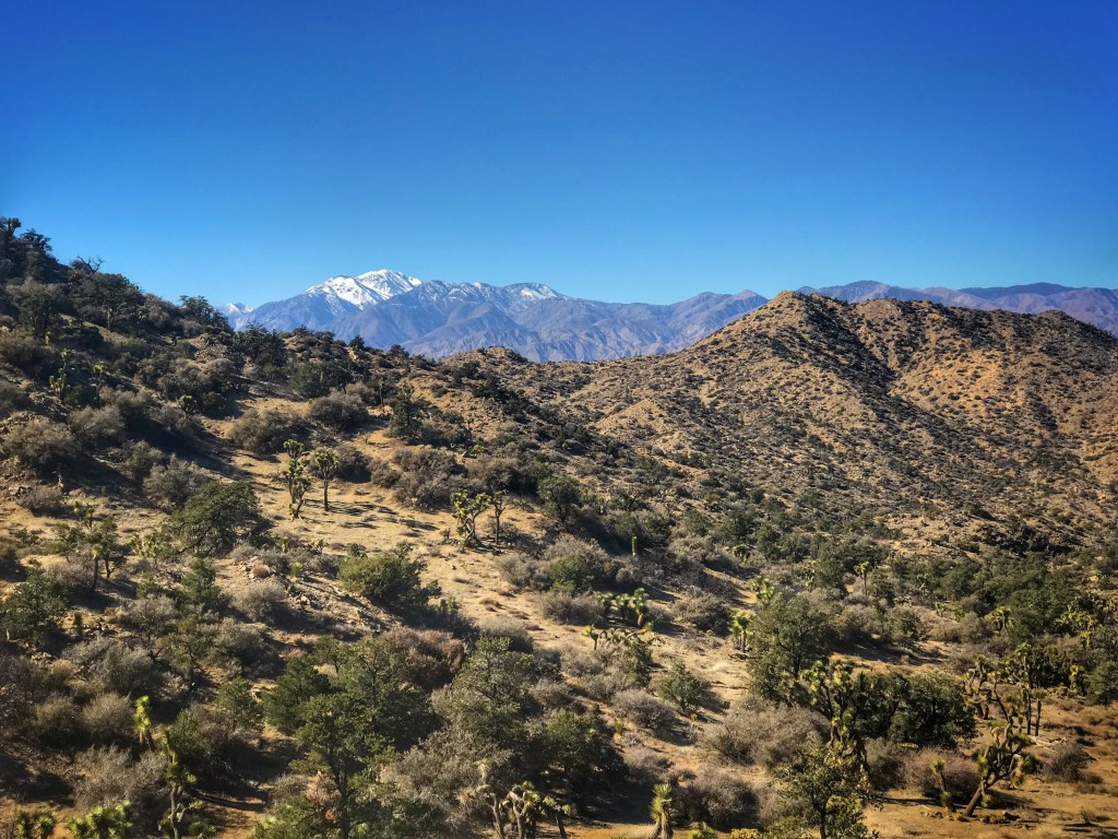
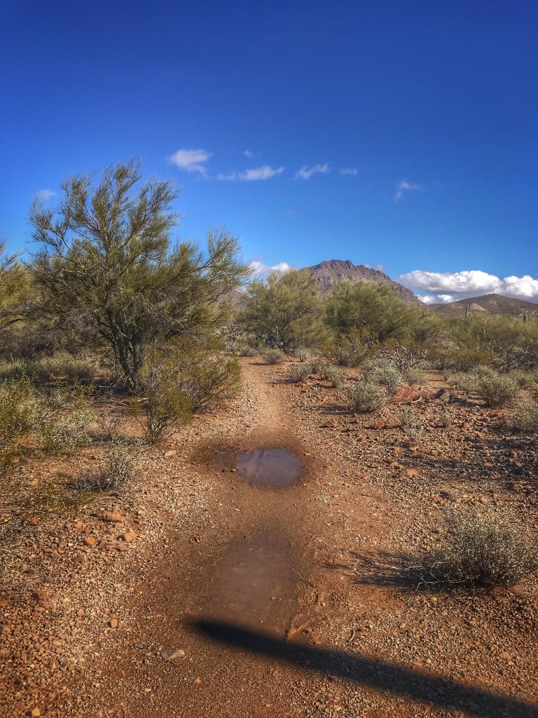
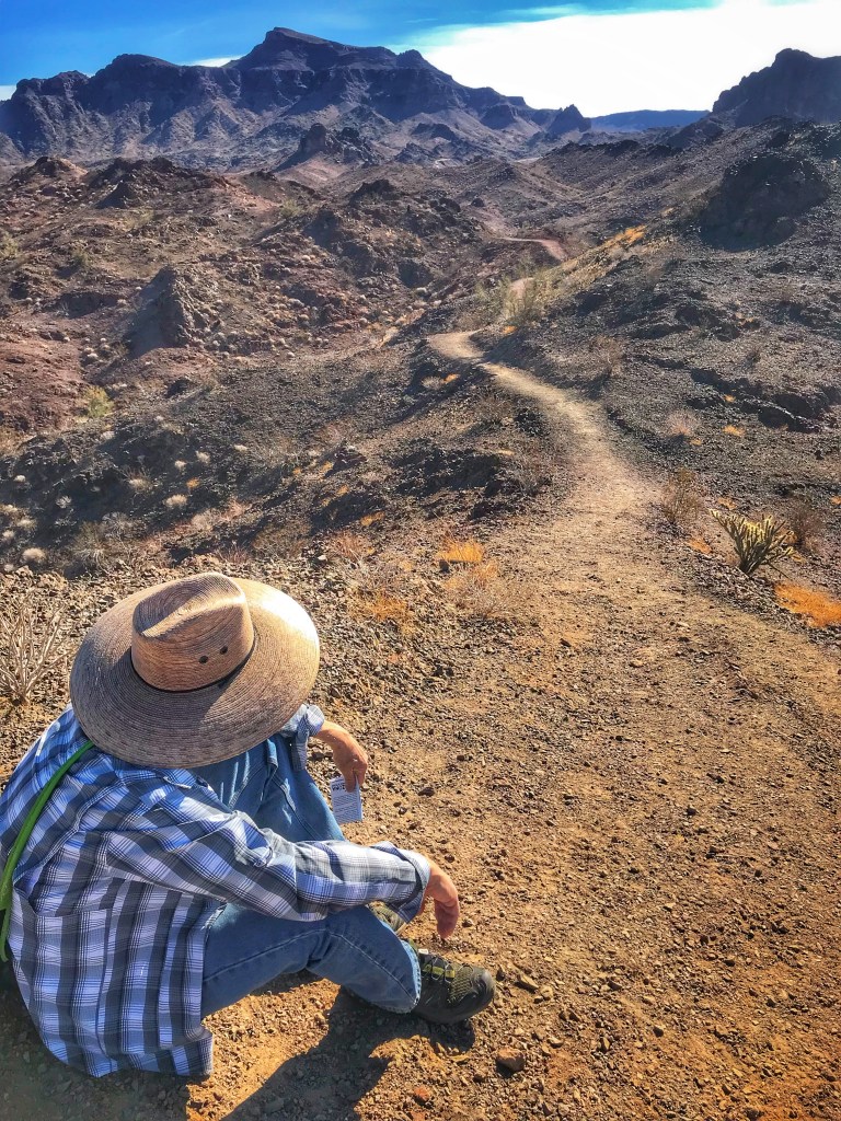
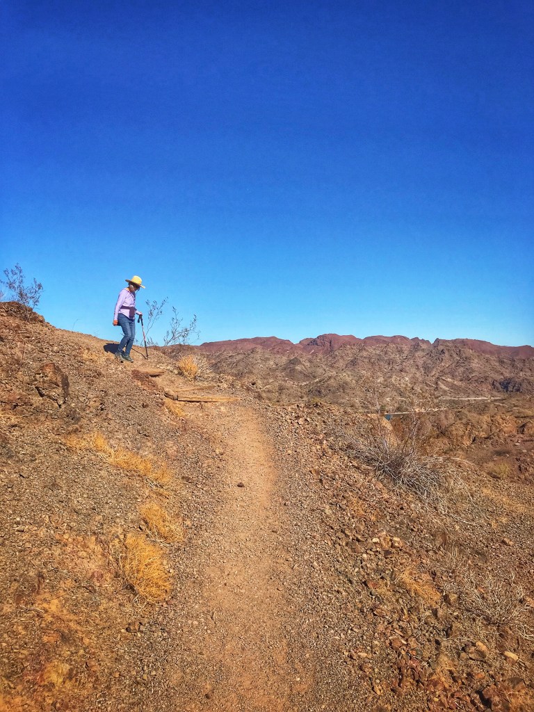
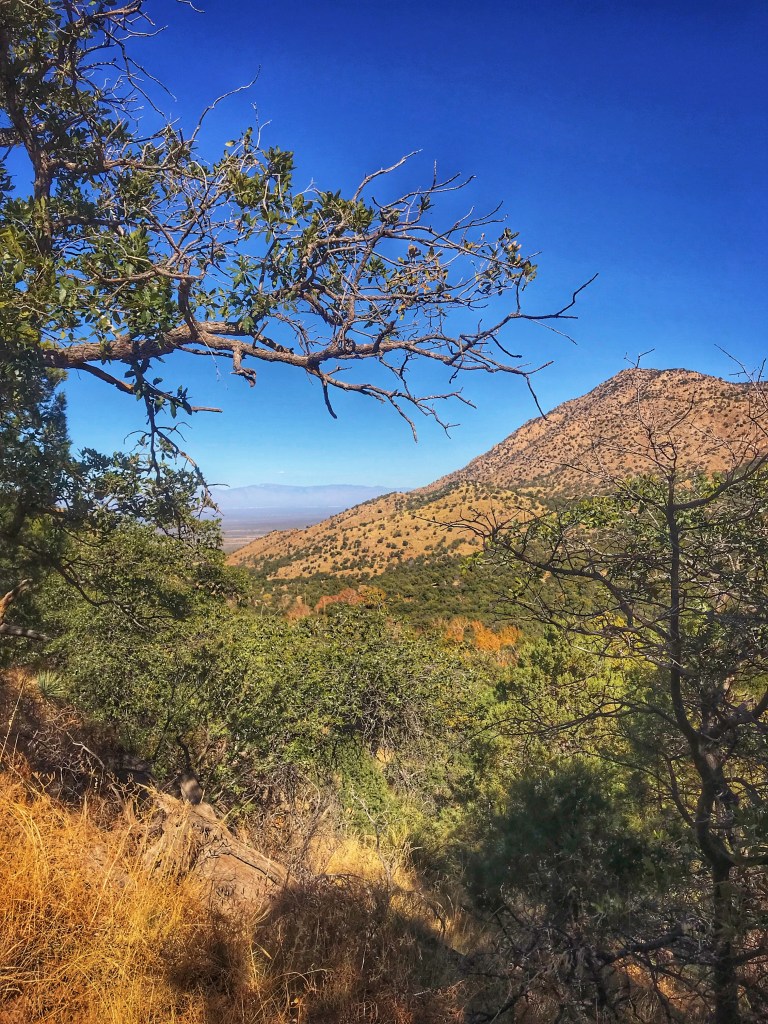
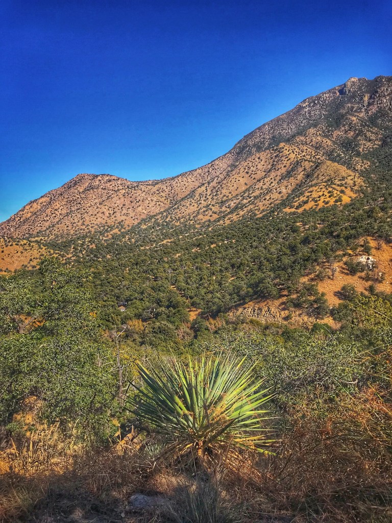
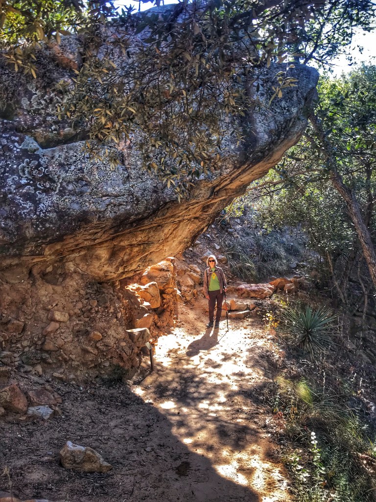
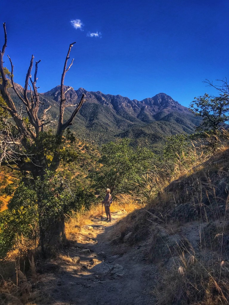
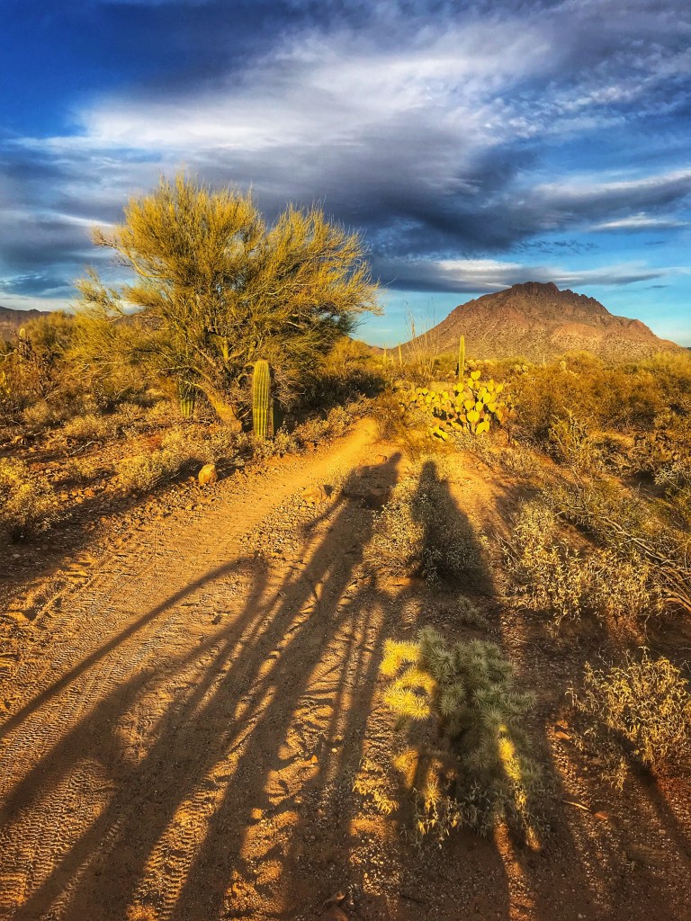
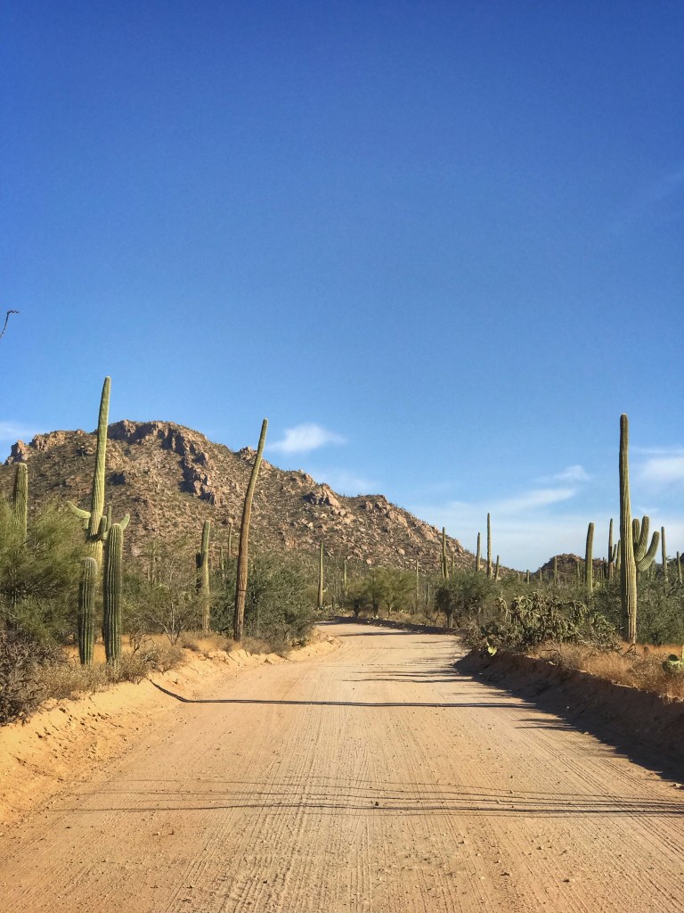
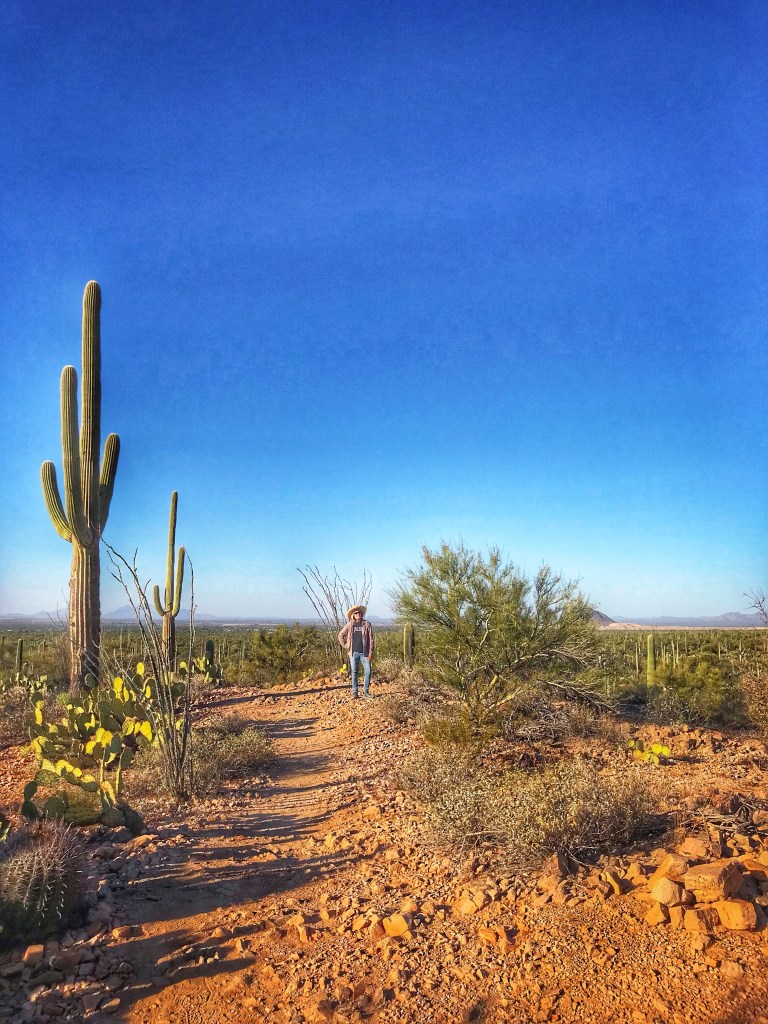
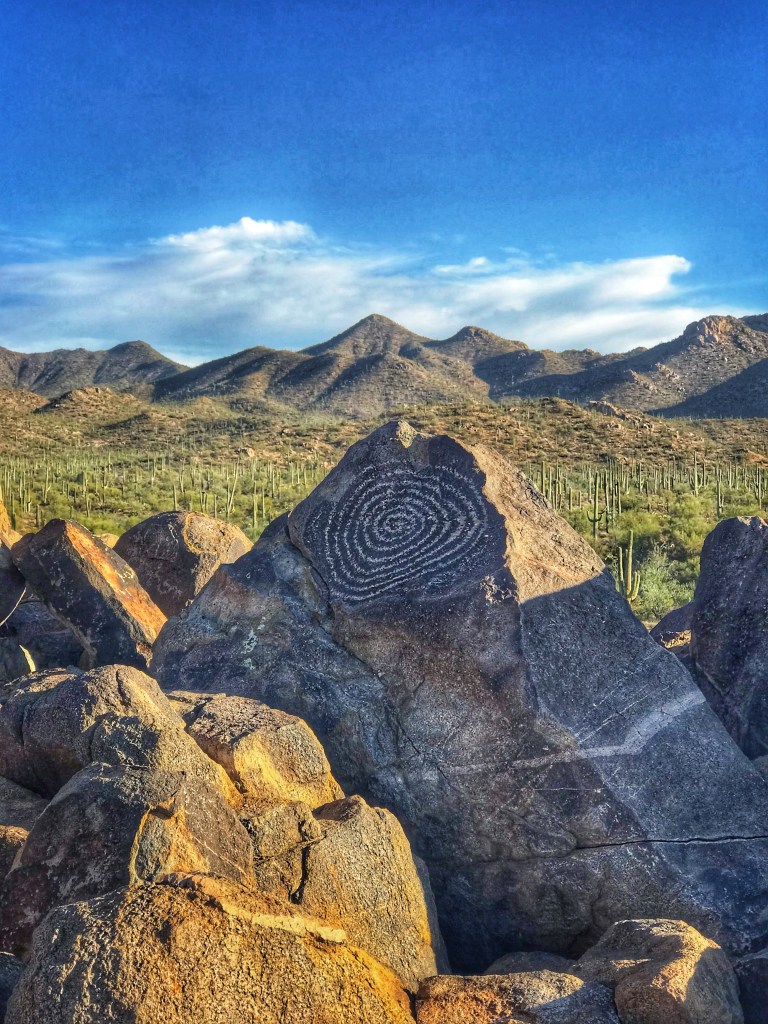
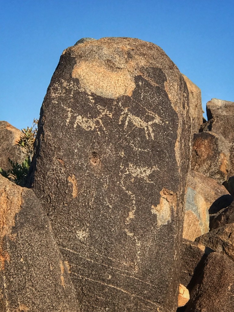
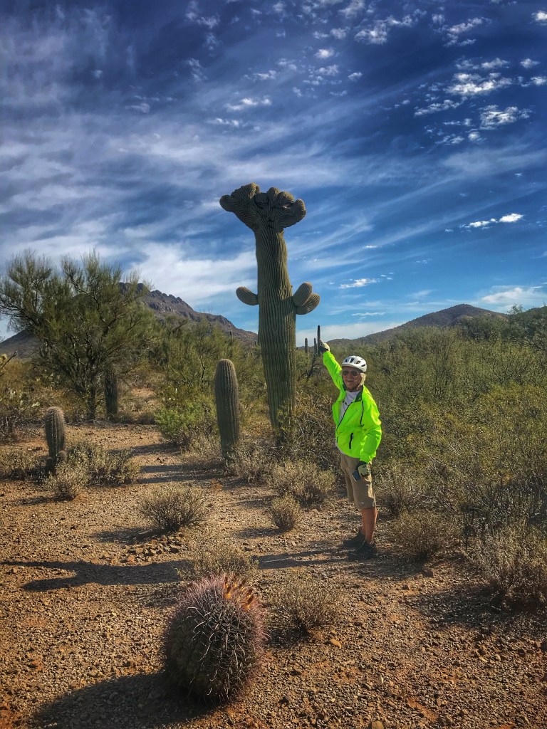
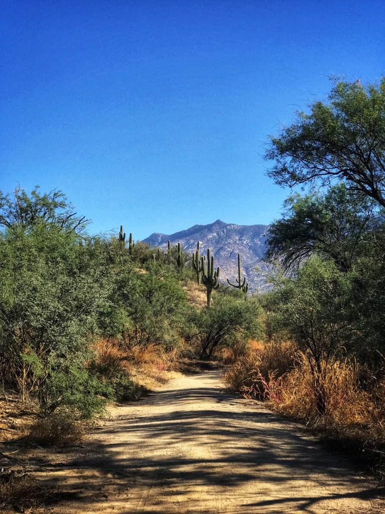
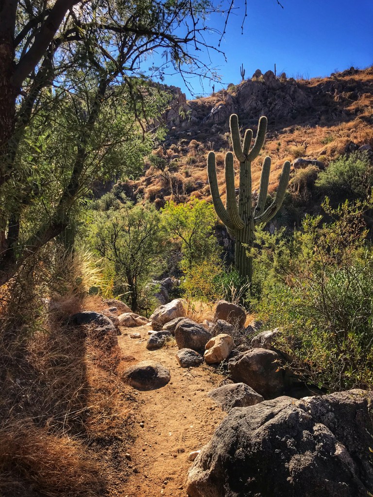
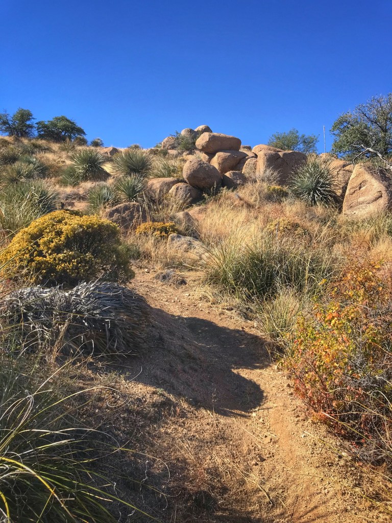
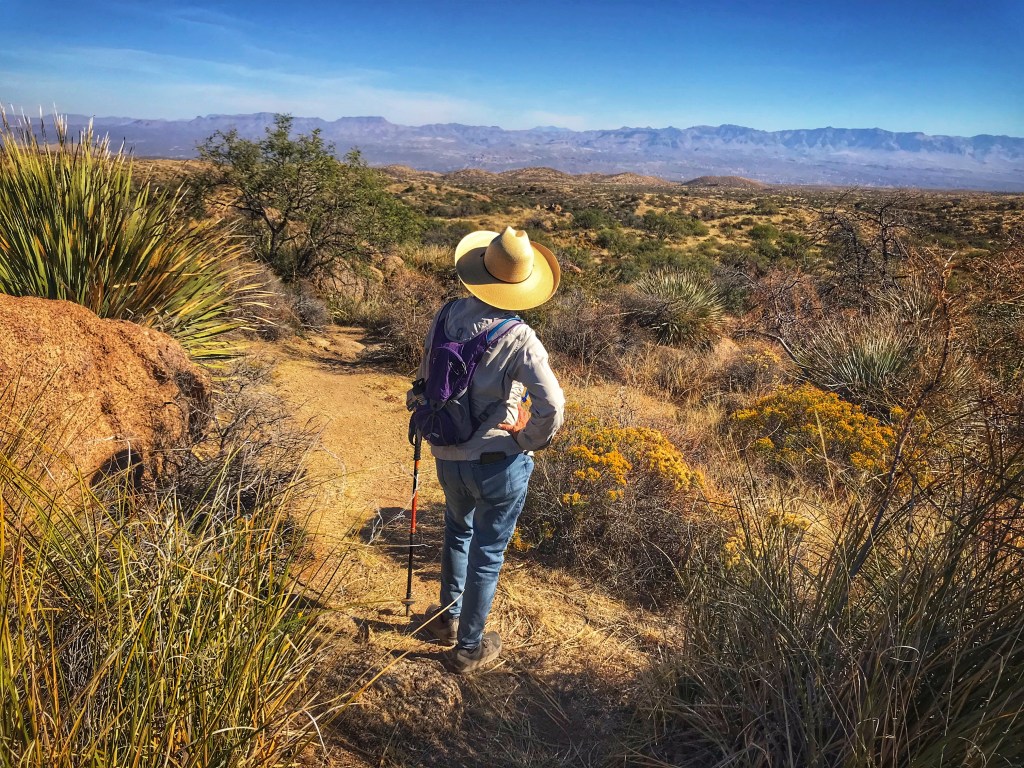
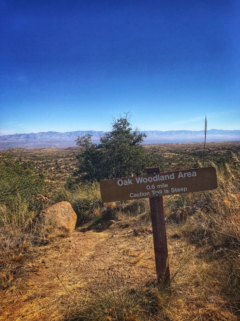
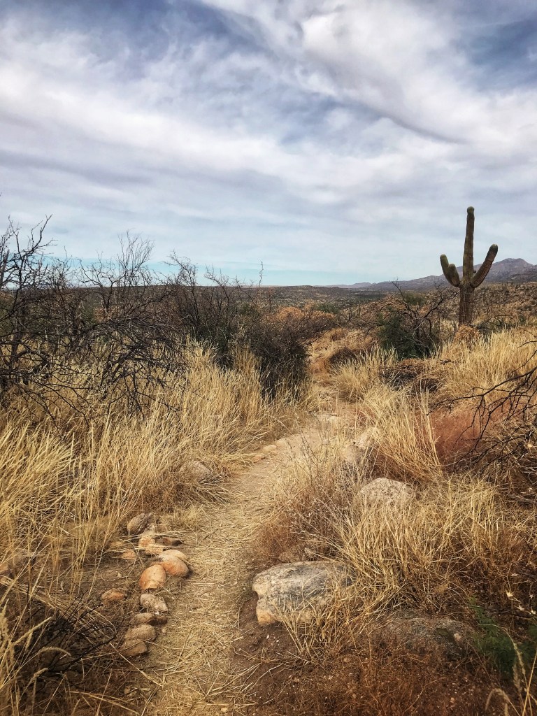
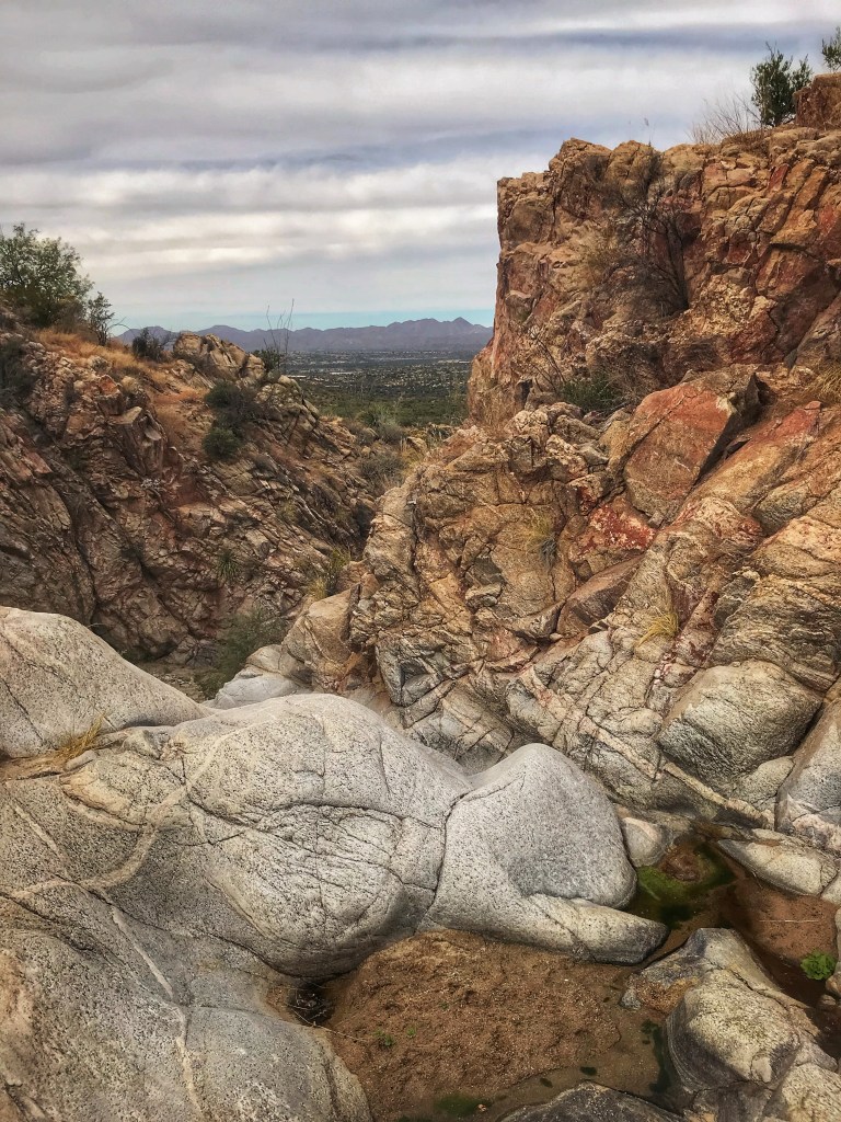
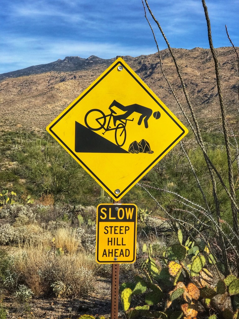
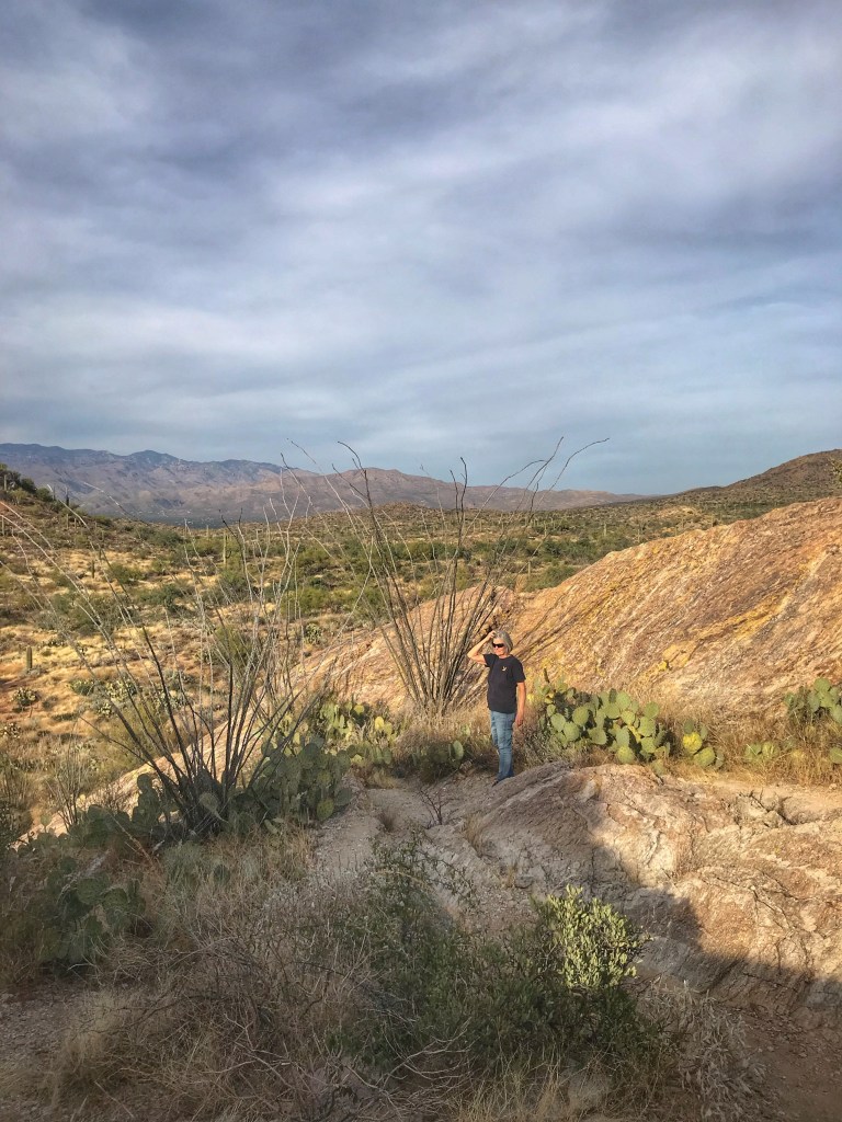
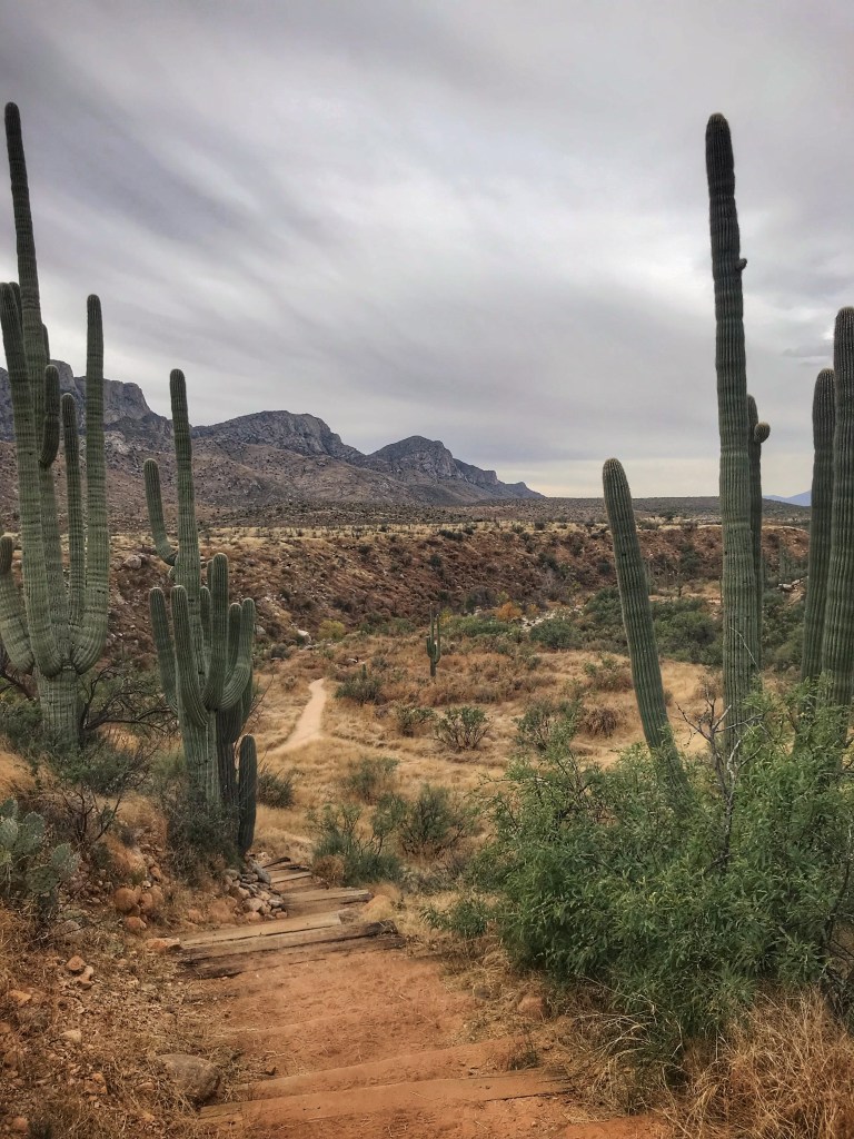
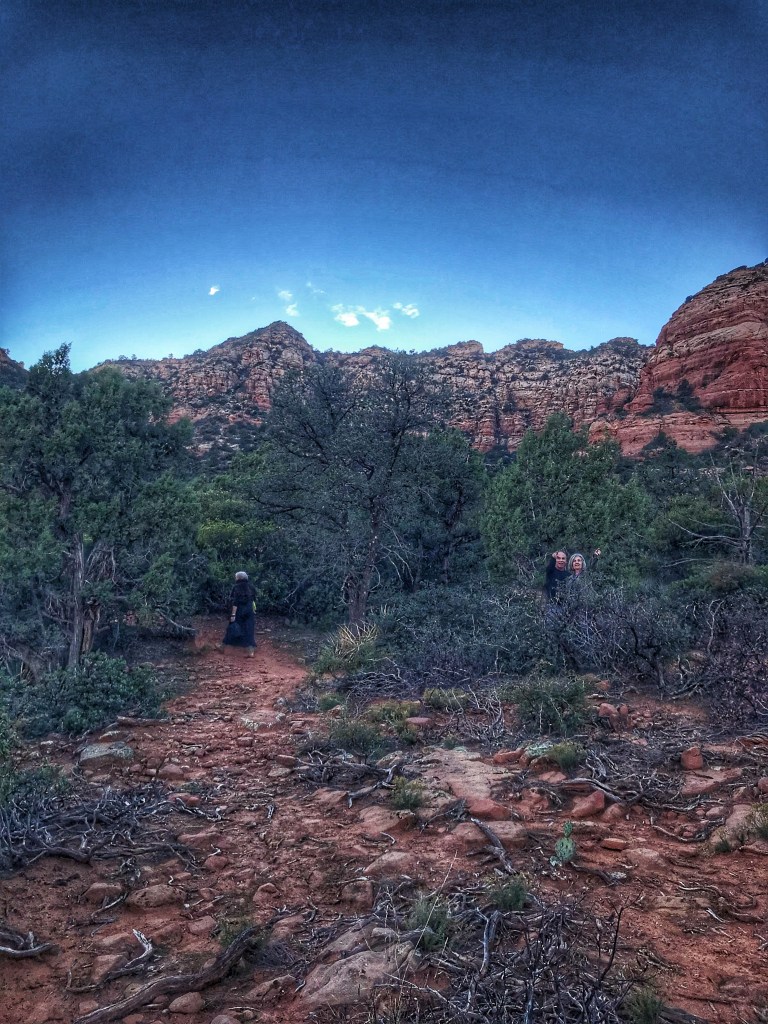
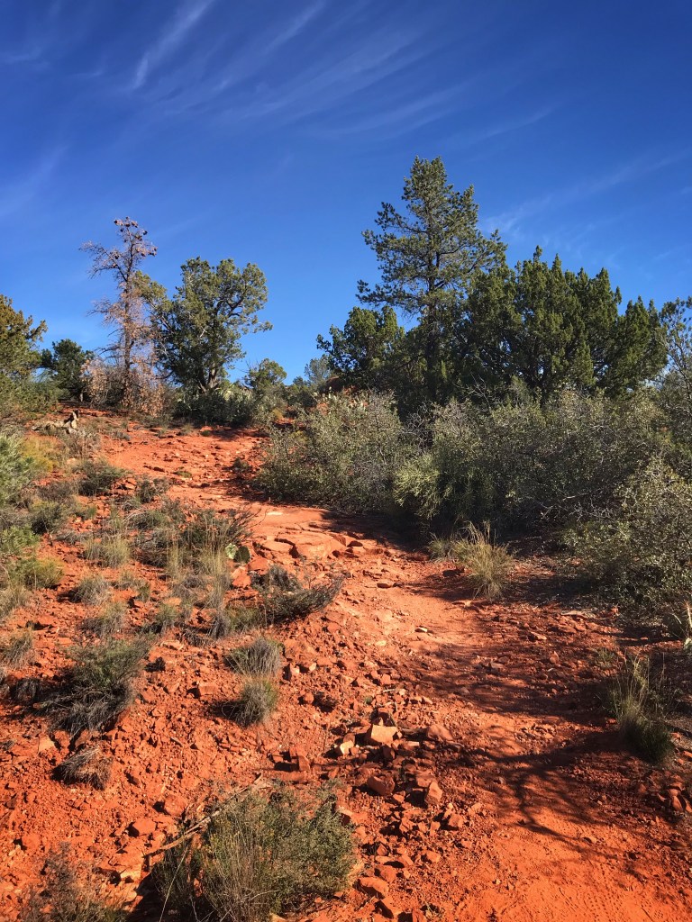
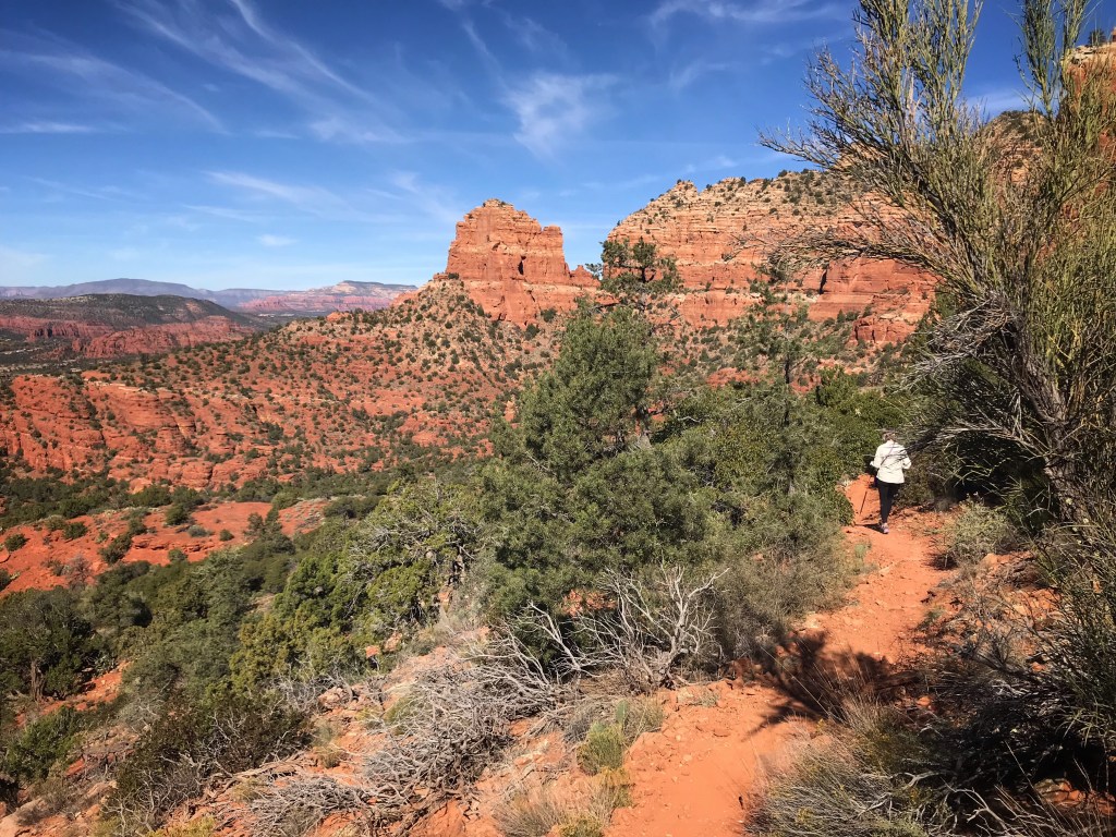
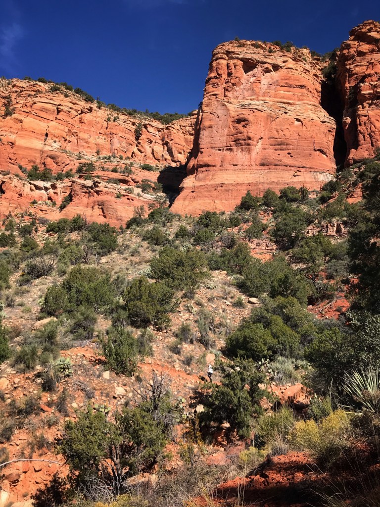
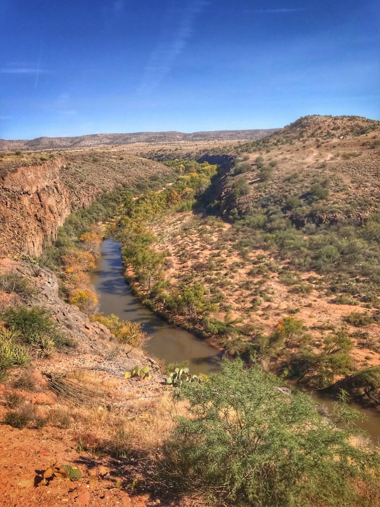
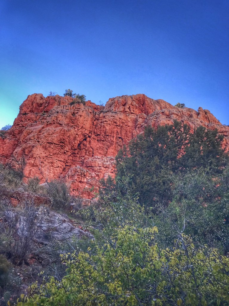
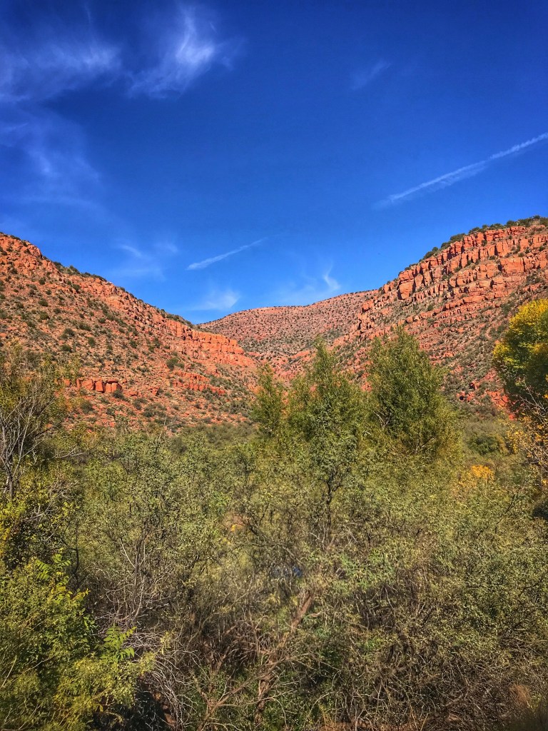
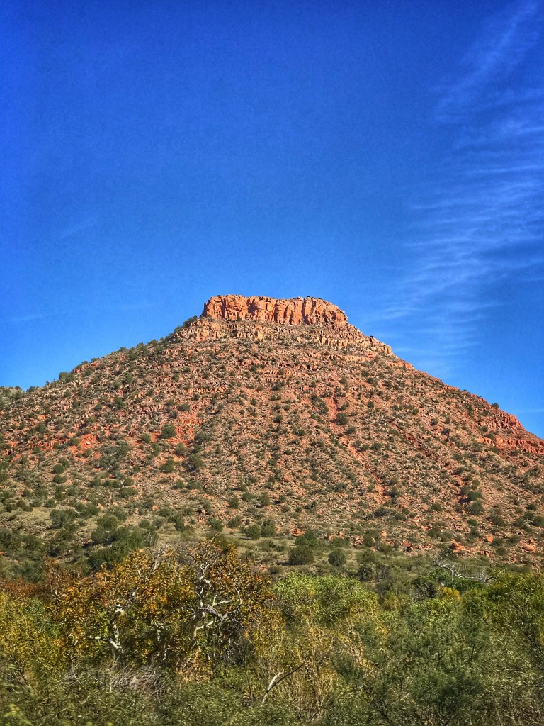
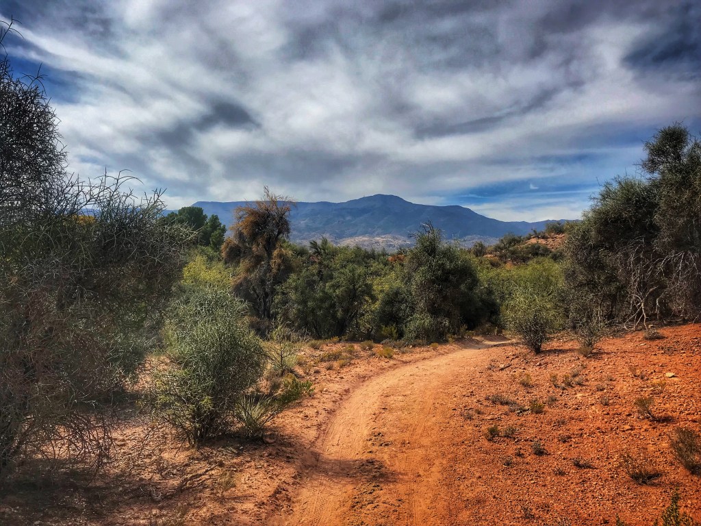
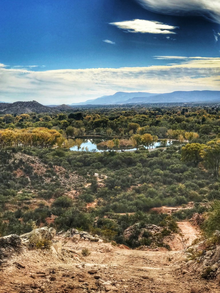
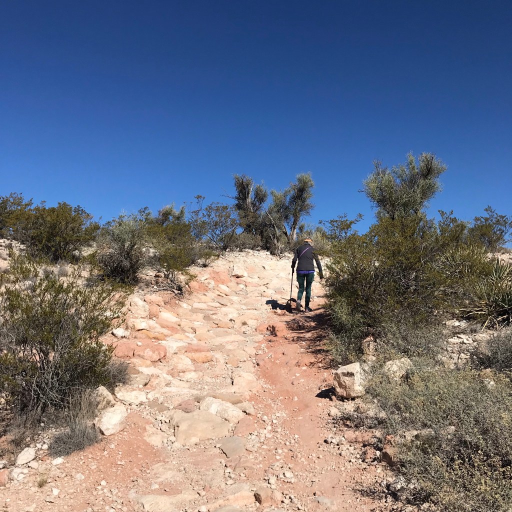
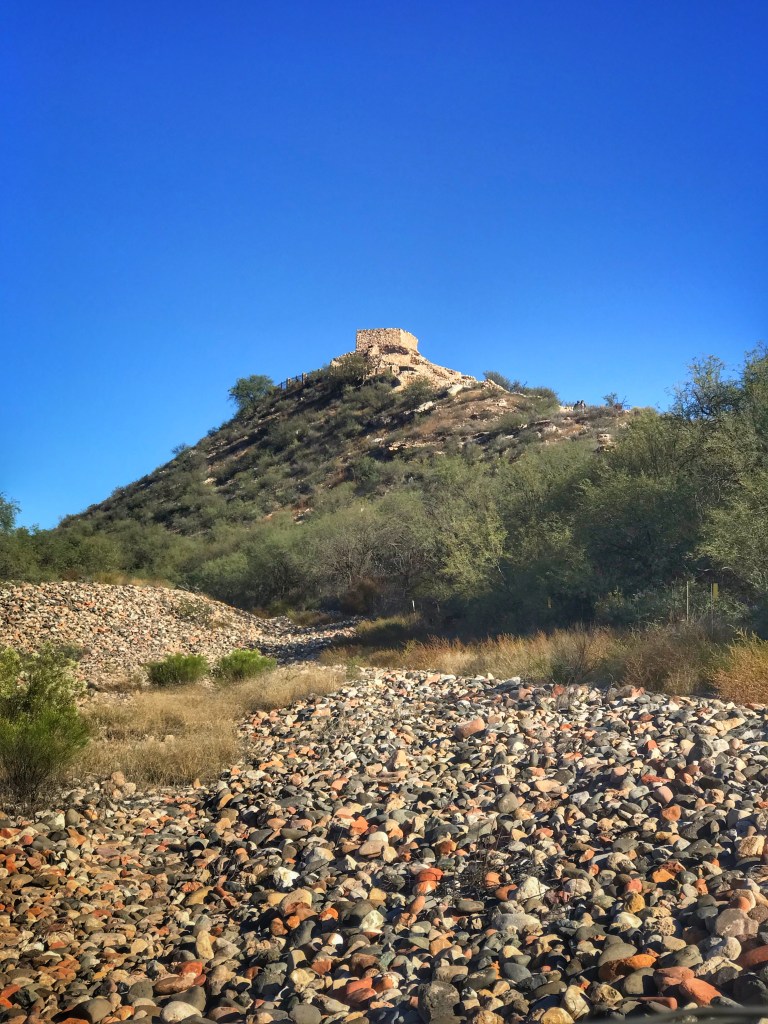
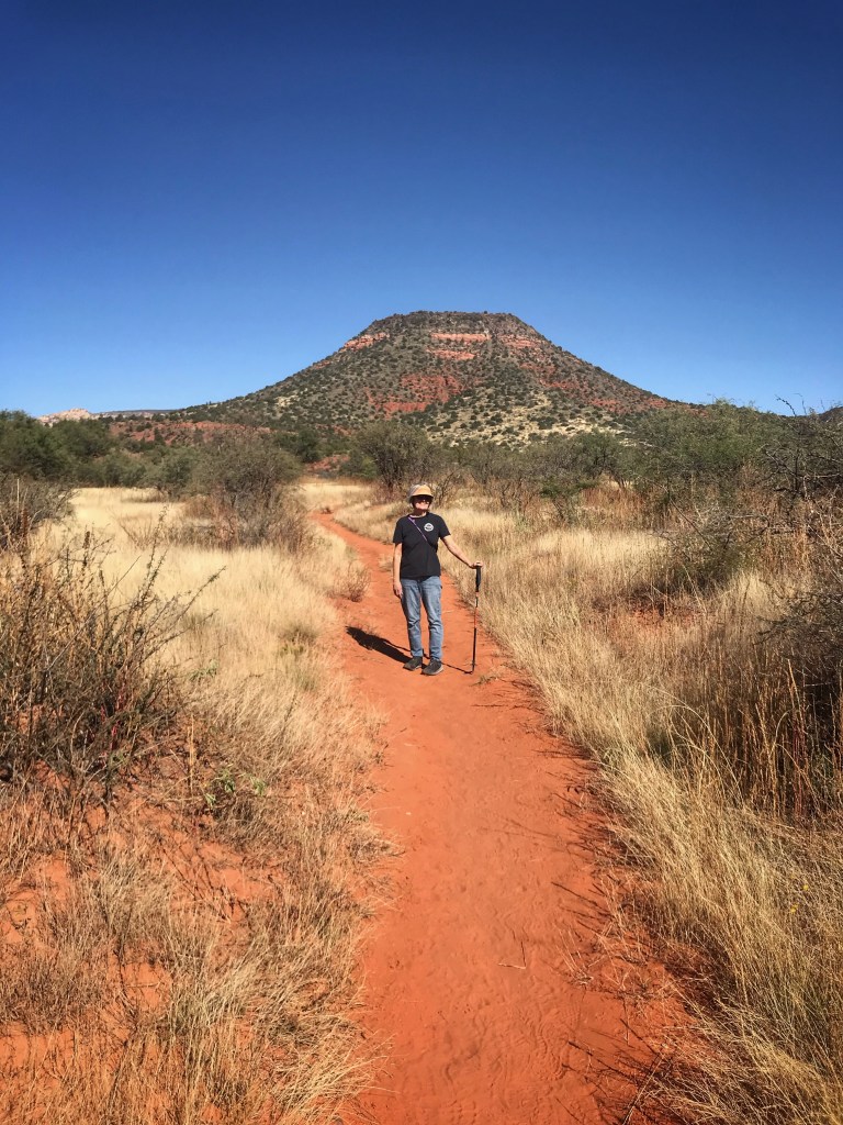
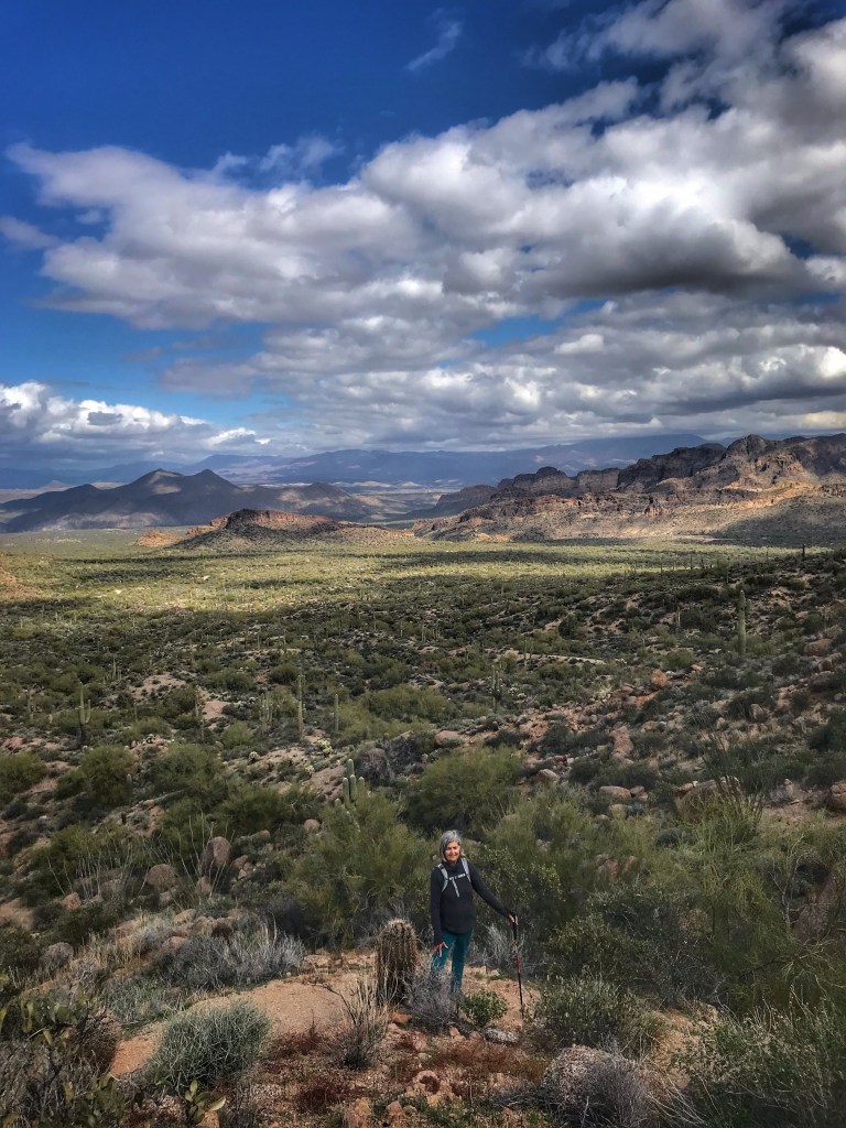
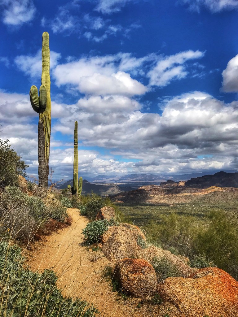
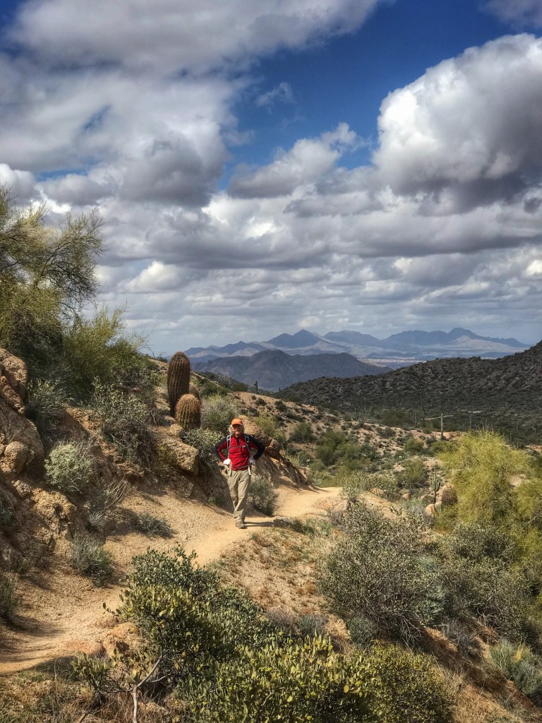
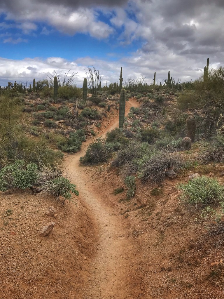
The Pass Mountain Trail is considered a Black Diamond trail and that’s well above our mountain biking skills. We left our bikes at camp and hiked the trail. The hike offers some great views of the surrounding mountains and desert.

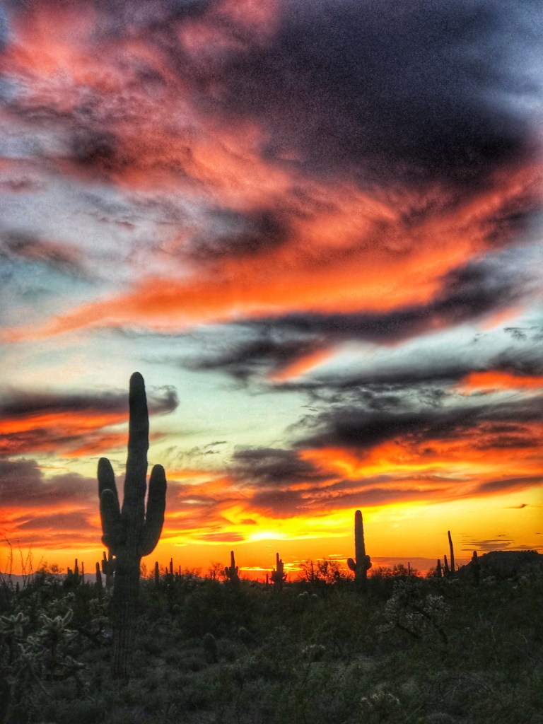
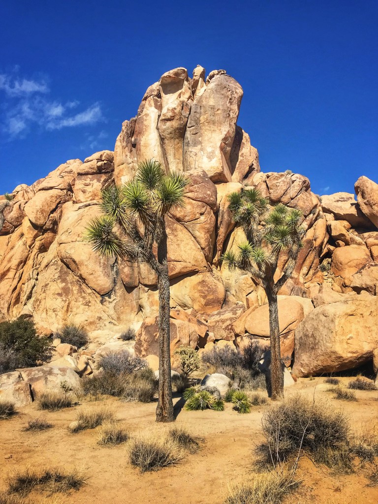
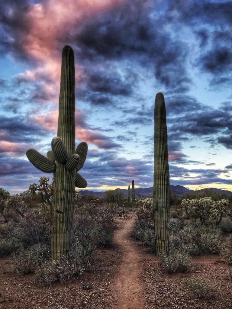
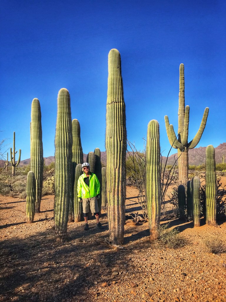
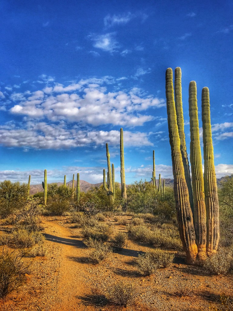
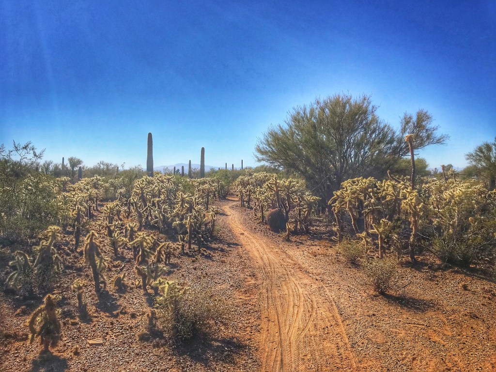
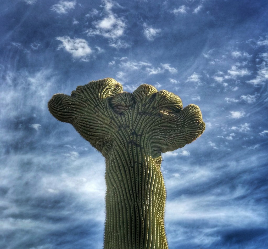
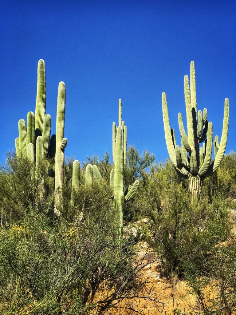
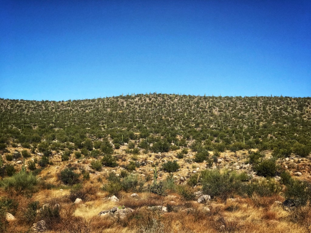
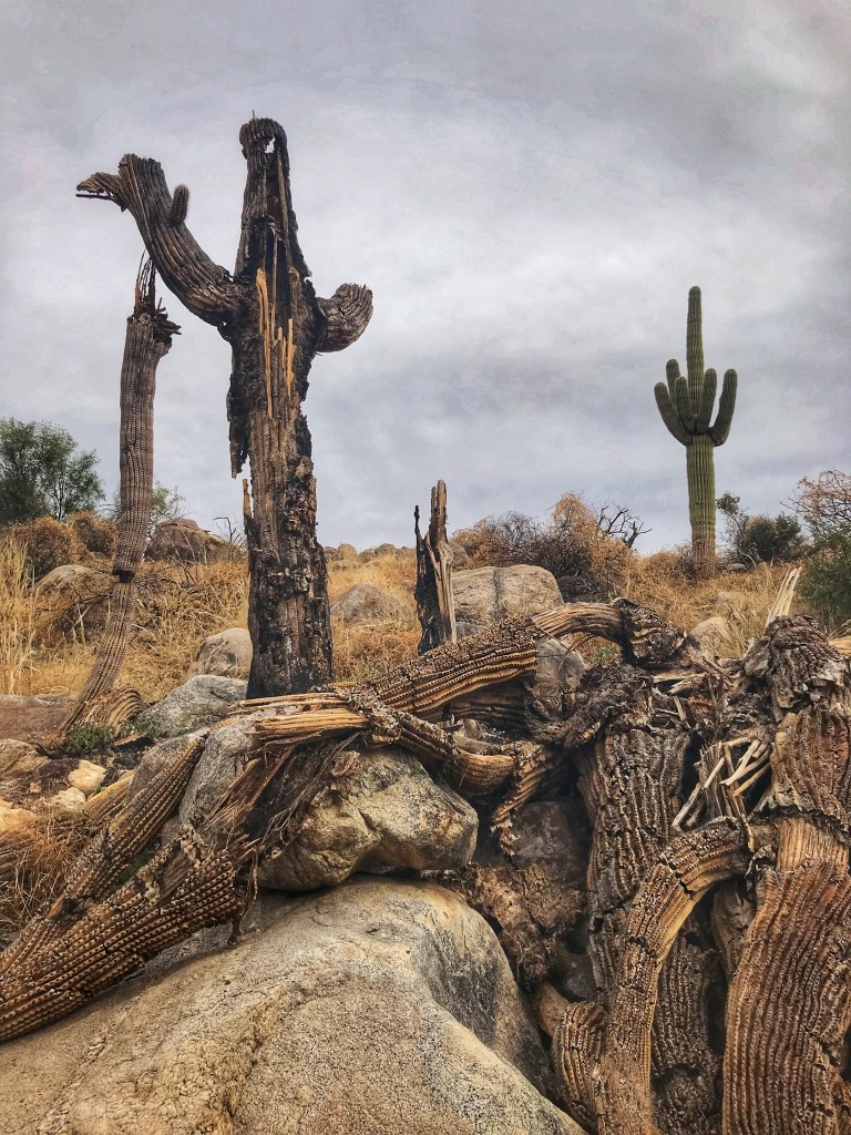
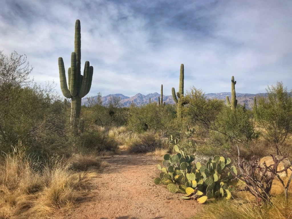
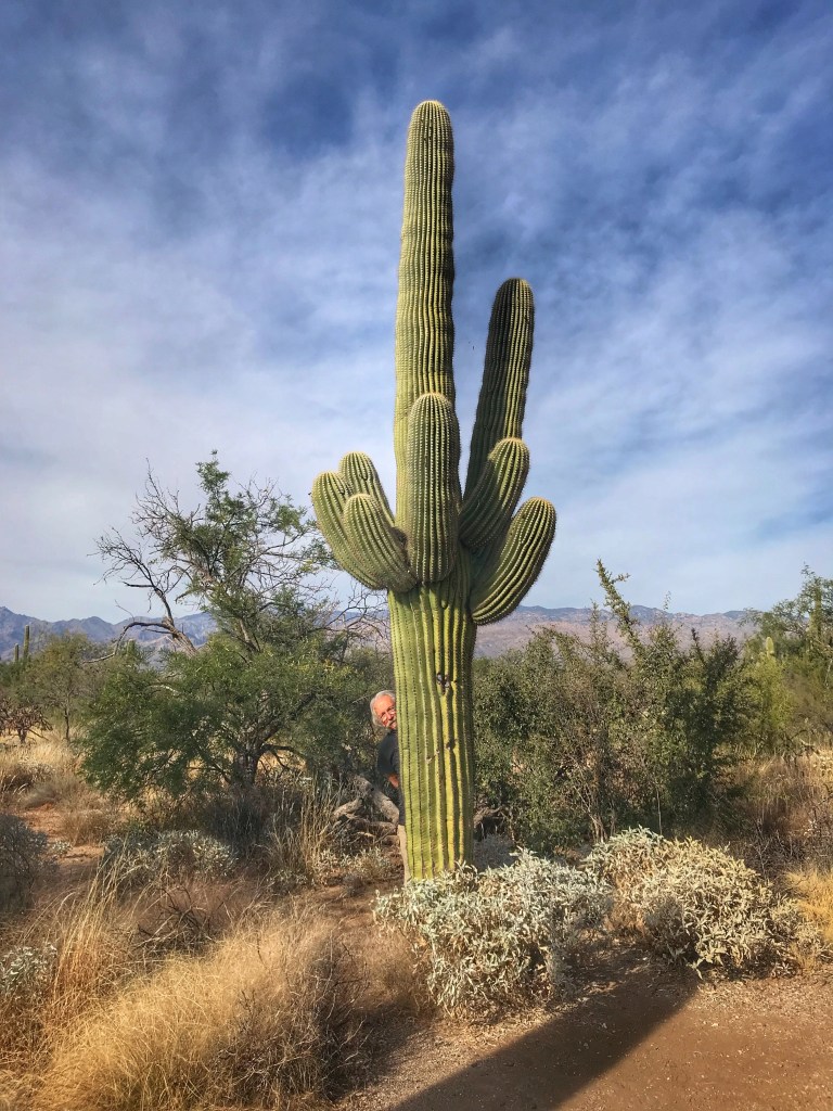
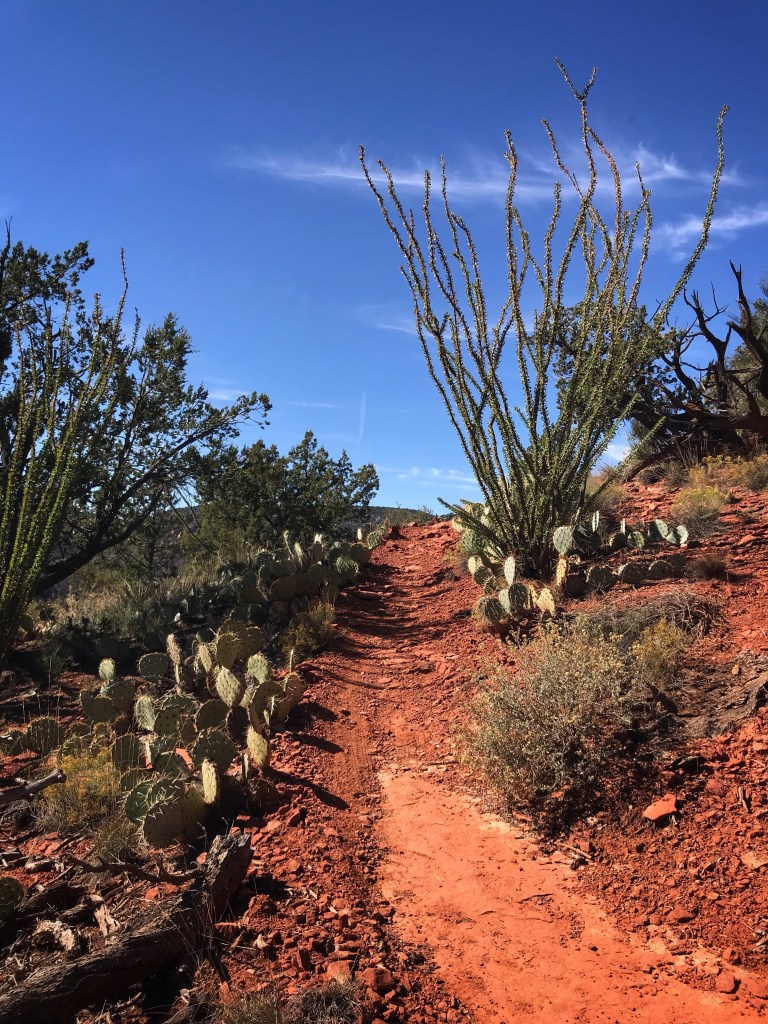
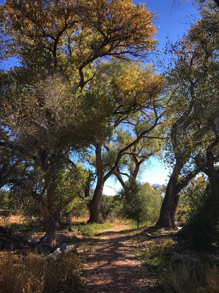
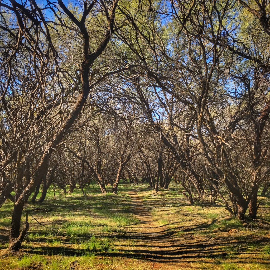
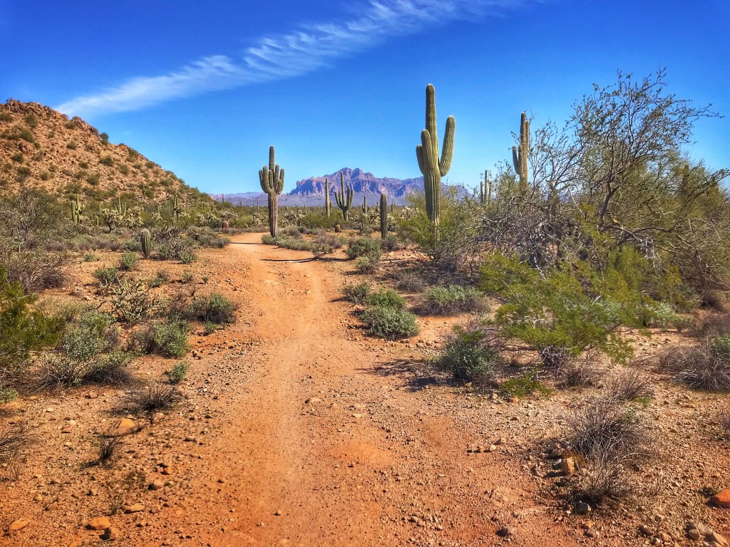
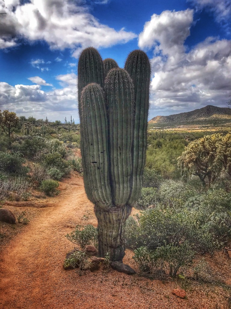
The trail off the mountain takes you through an area thick with saguaro cactus.
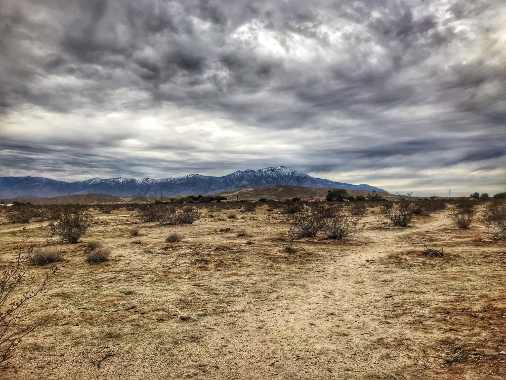
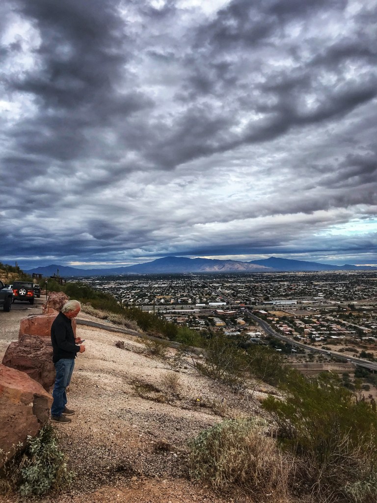
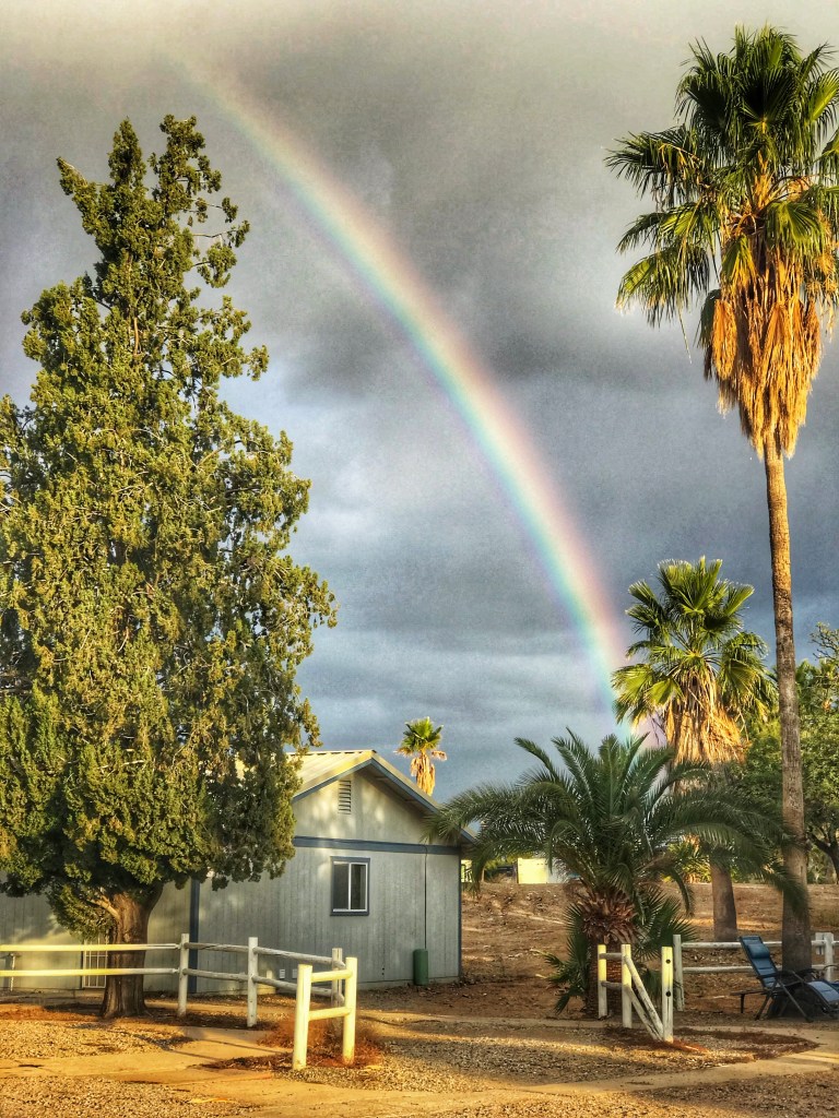
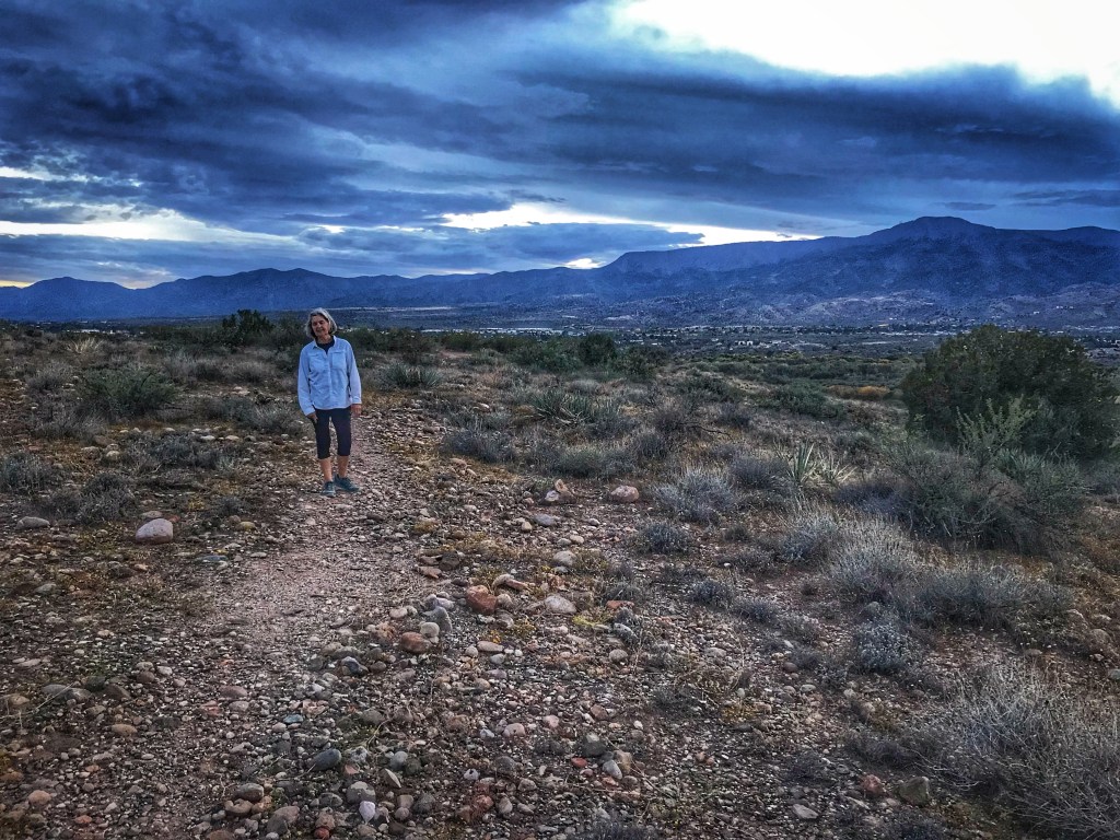
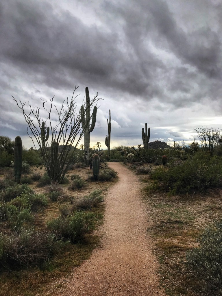
On our last day in the park the temperature dropped and it rained most of the day. A good time to go to the laundromat.
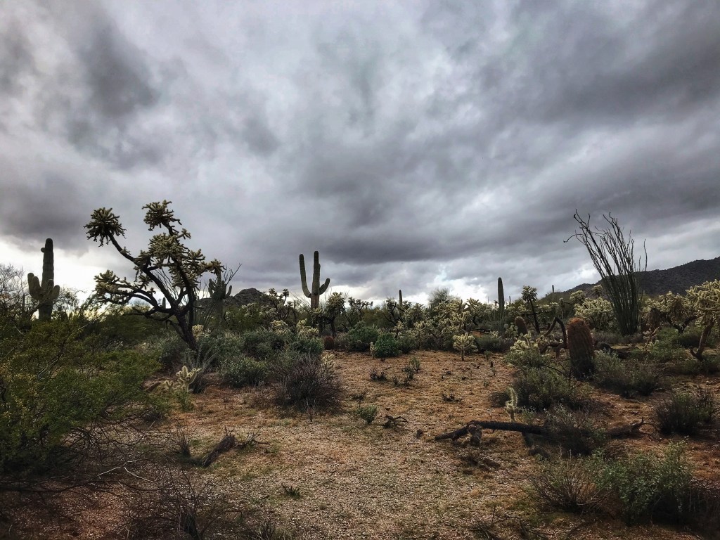
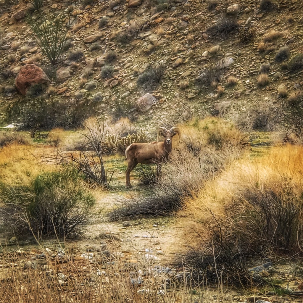
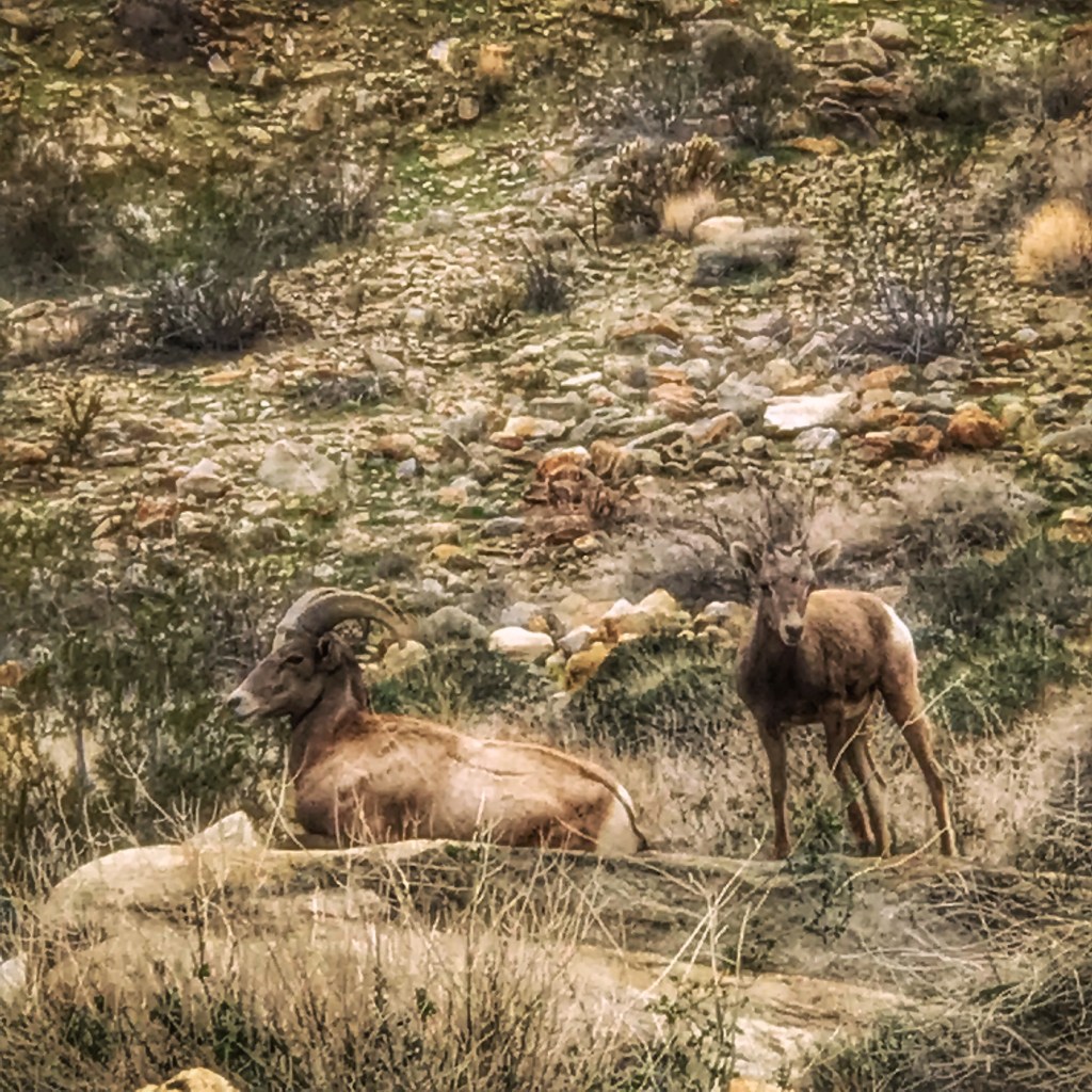
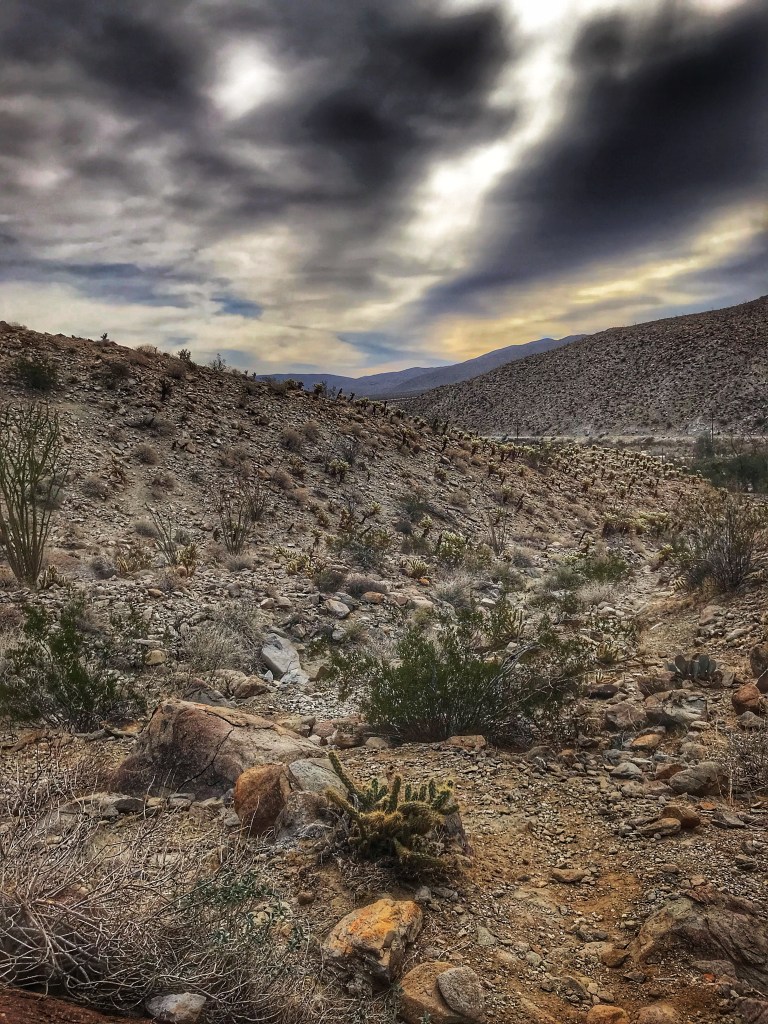
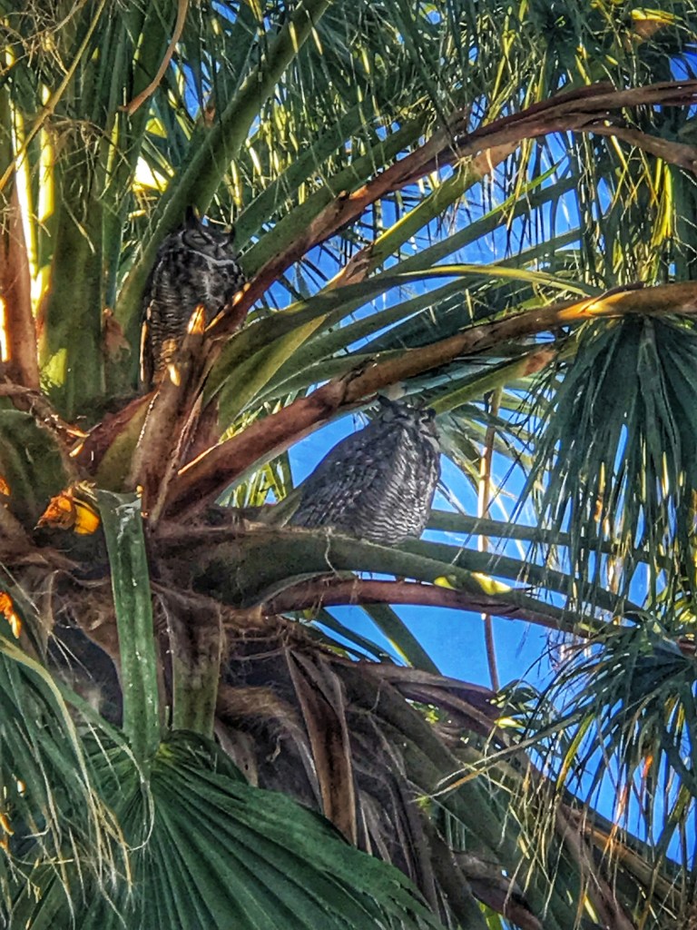
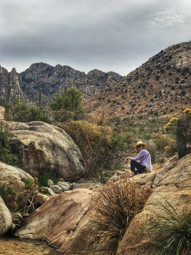
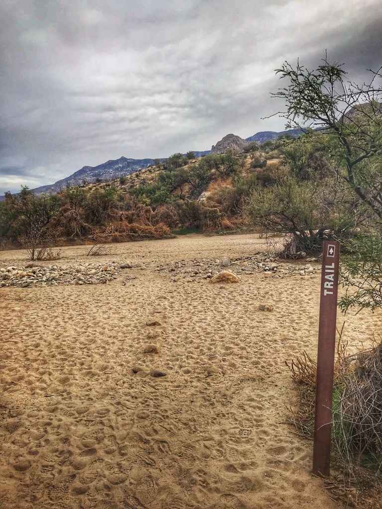
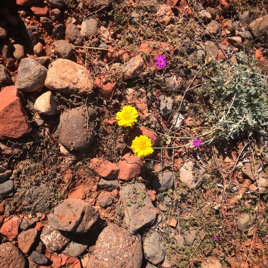
The rain let up and we walked out into the desert. The birds were happily singing and the desert smelled incredible.
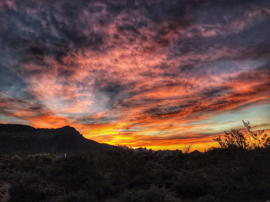
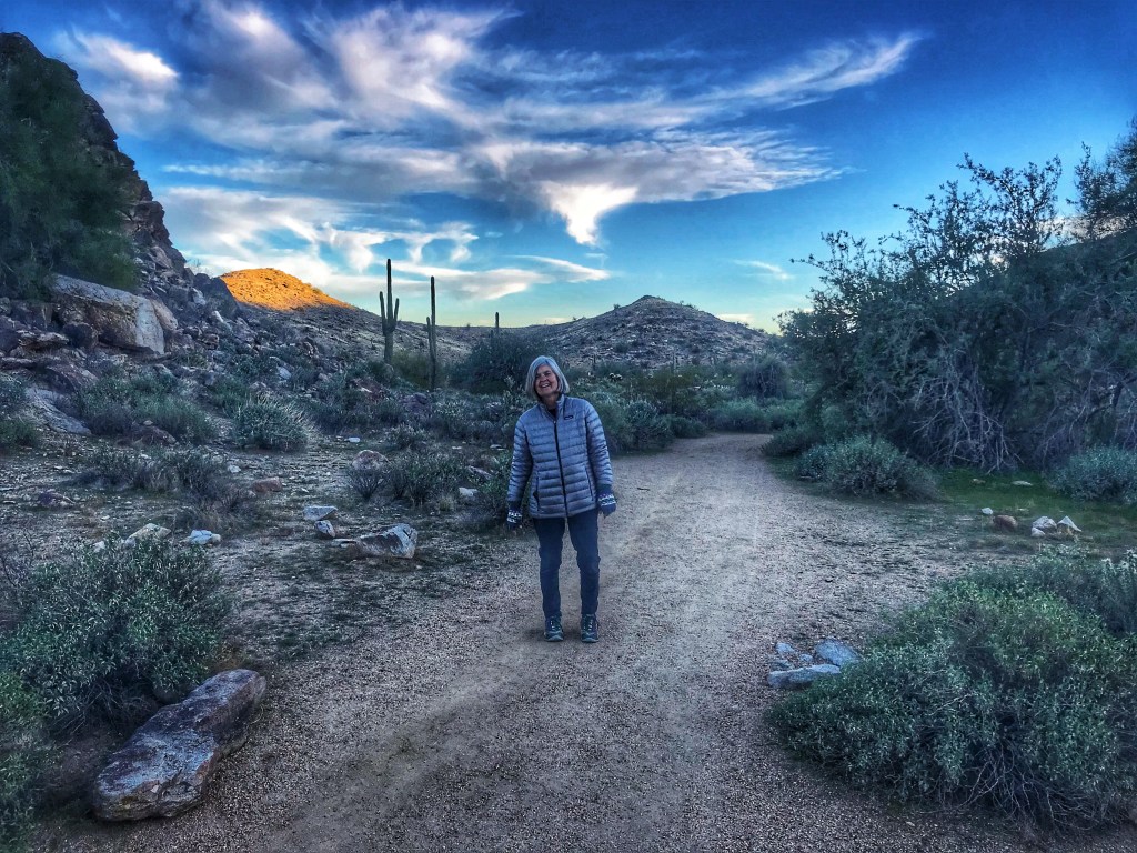
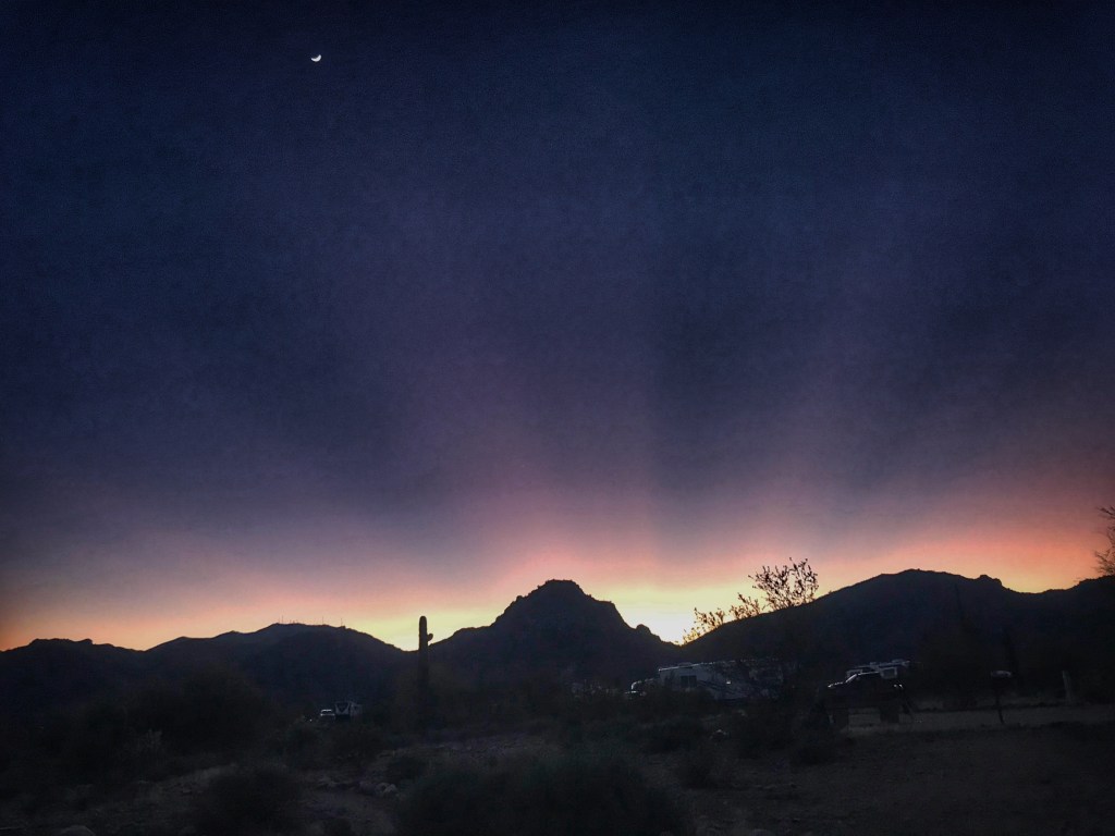
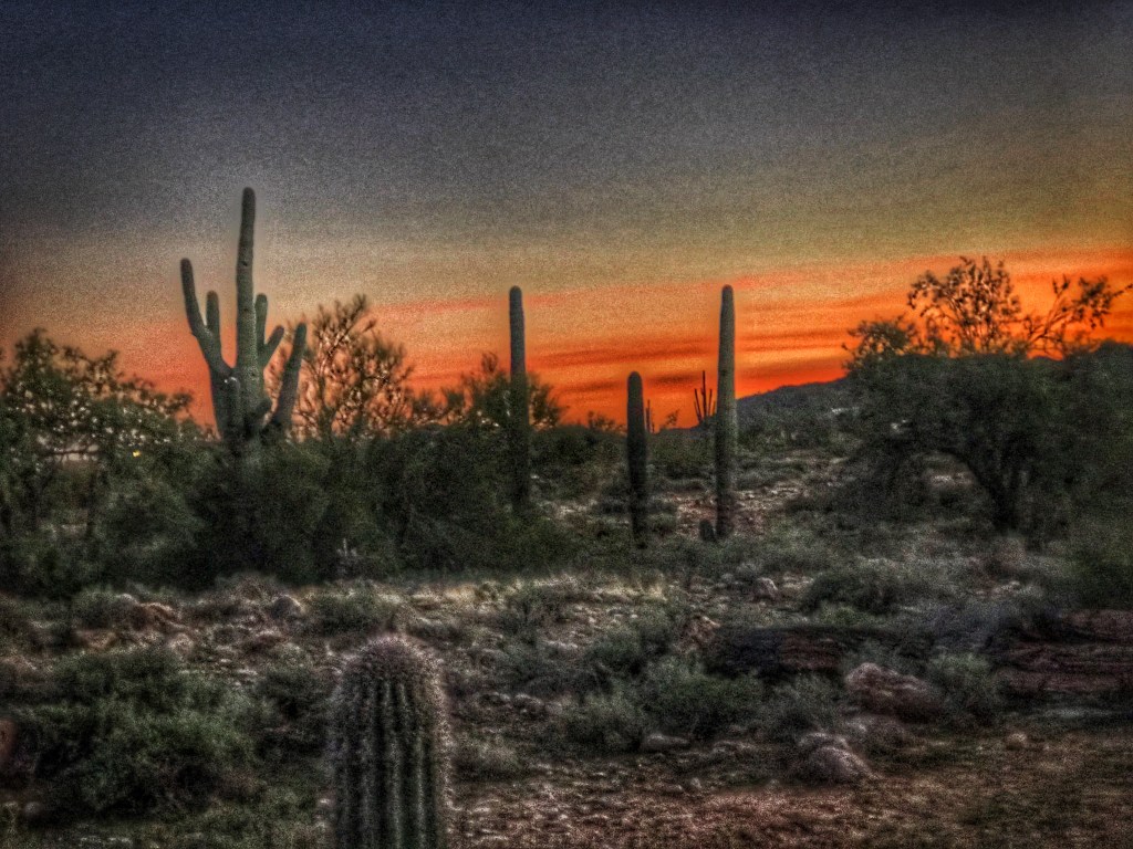
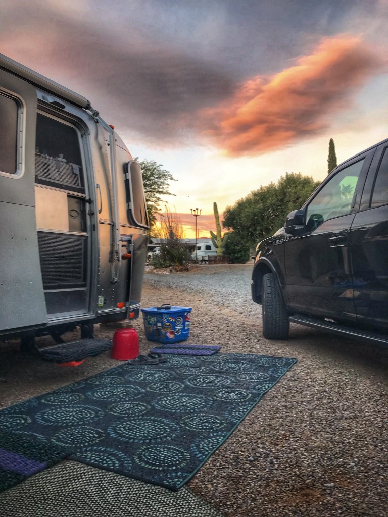
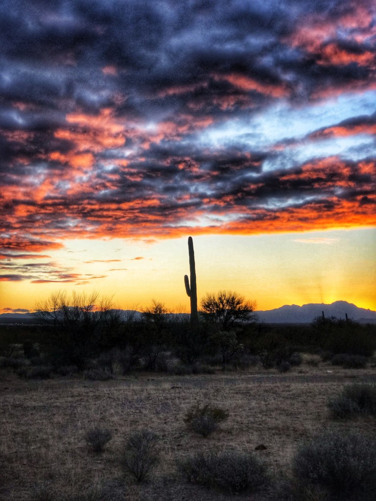
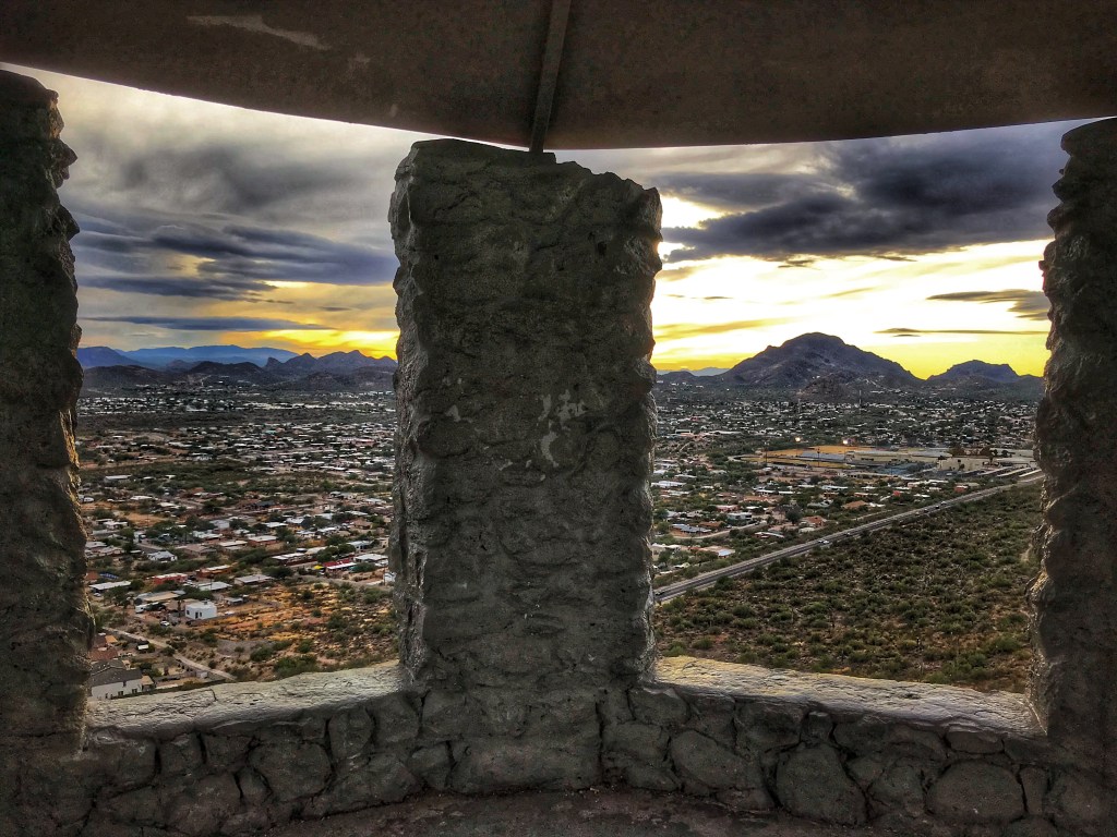
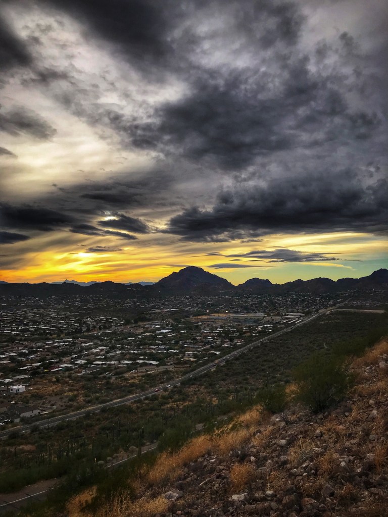
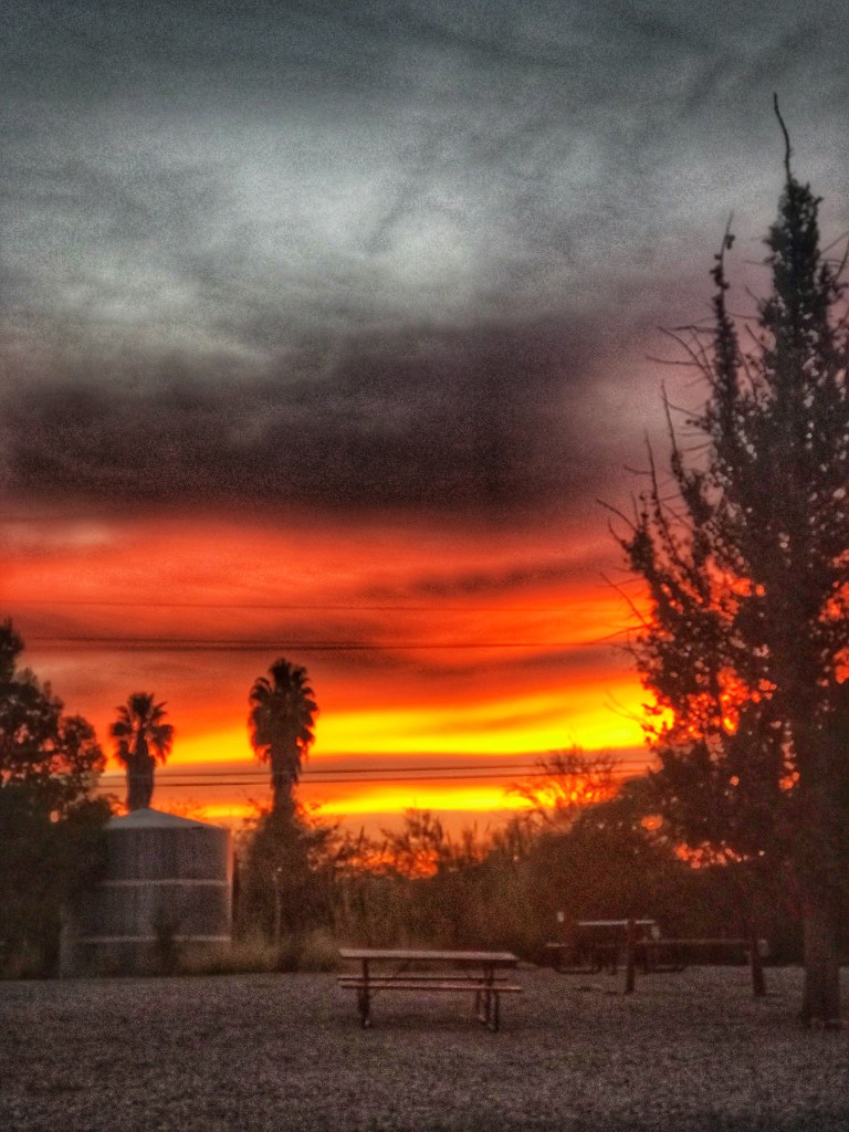
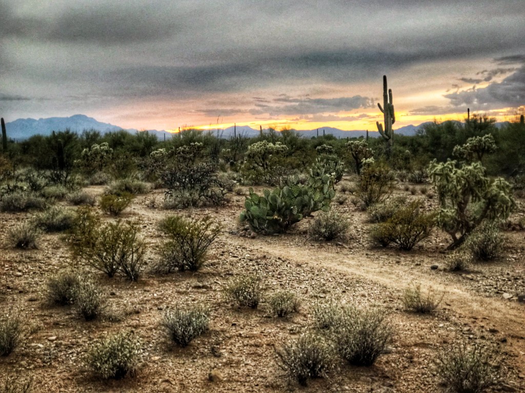
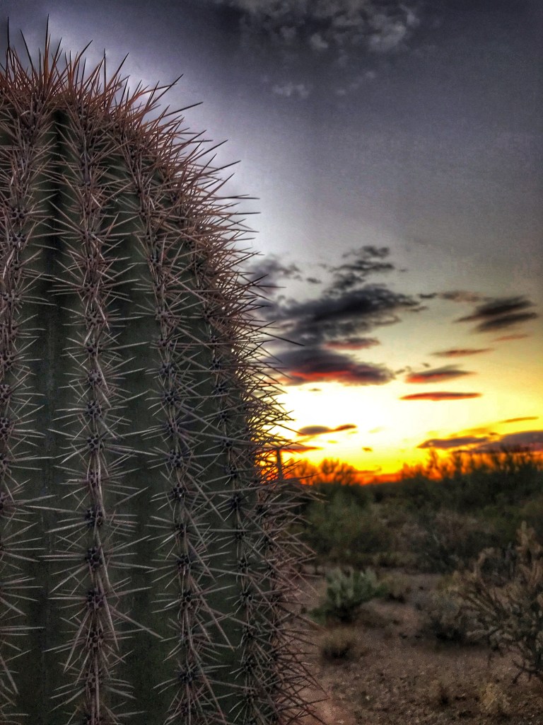
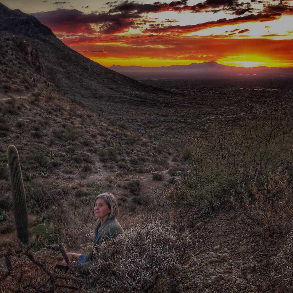
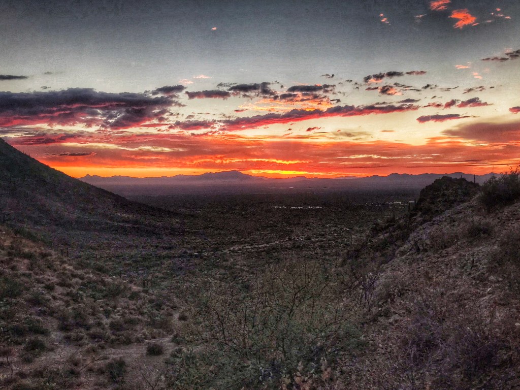
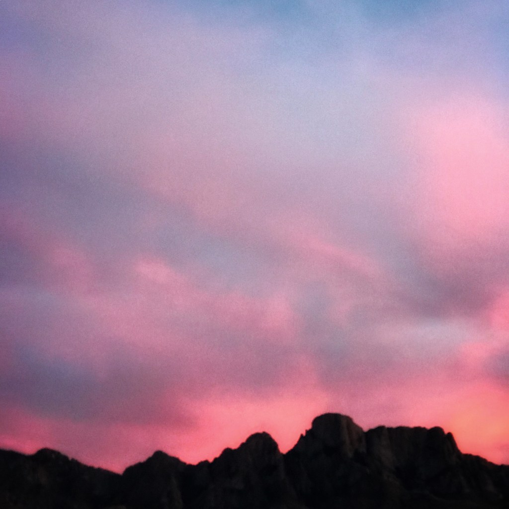
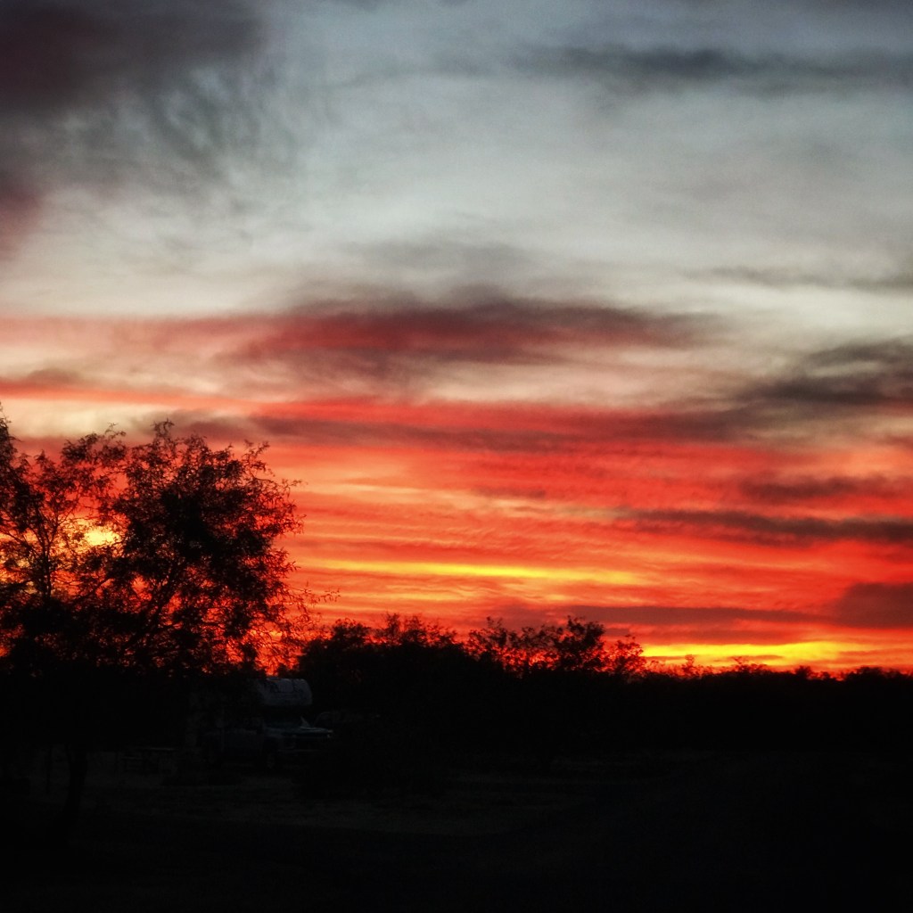
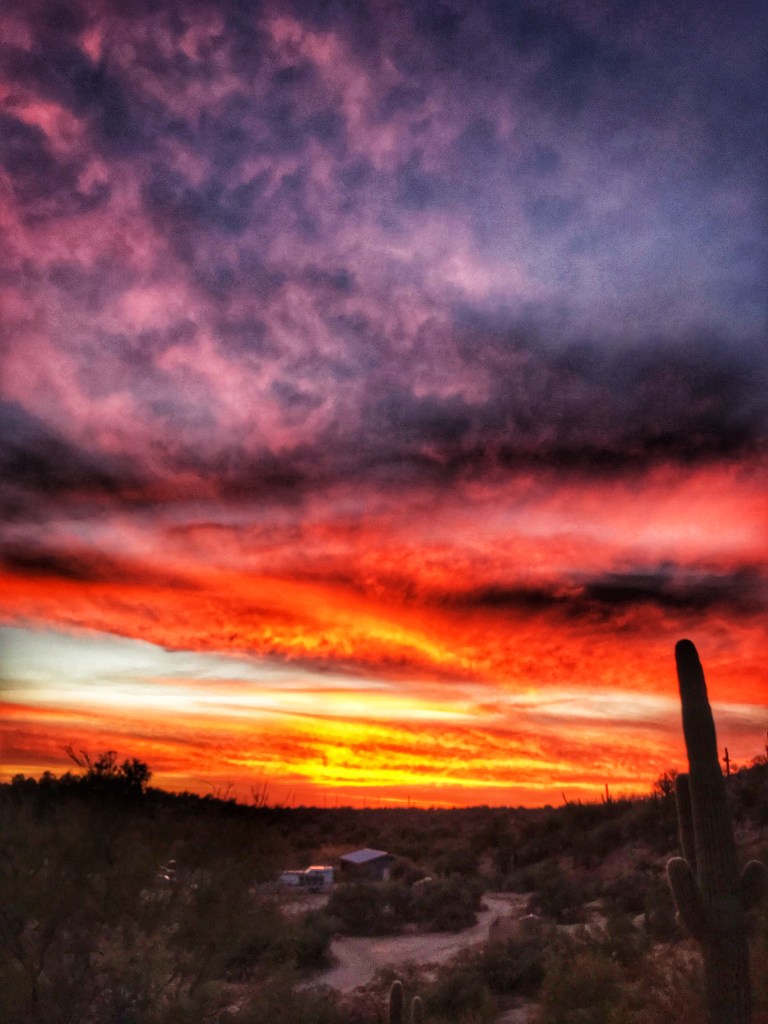
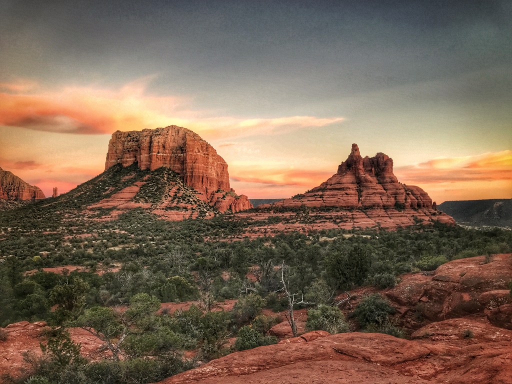
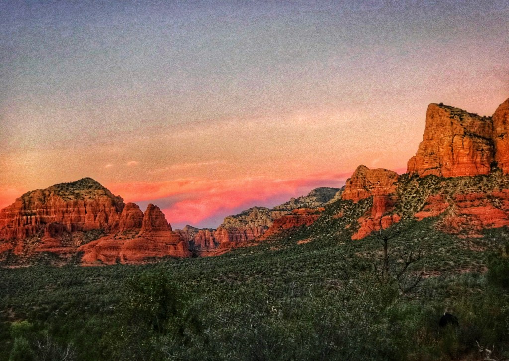
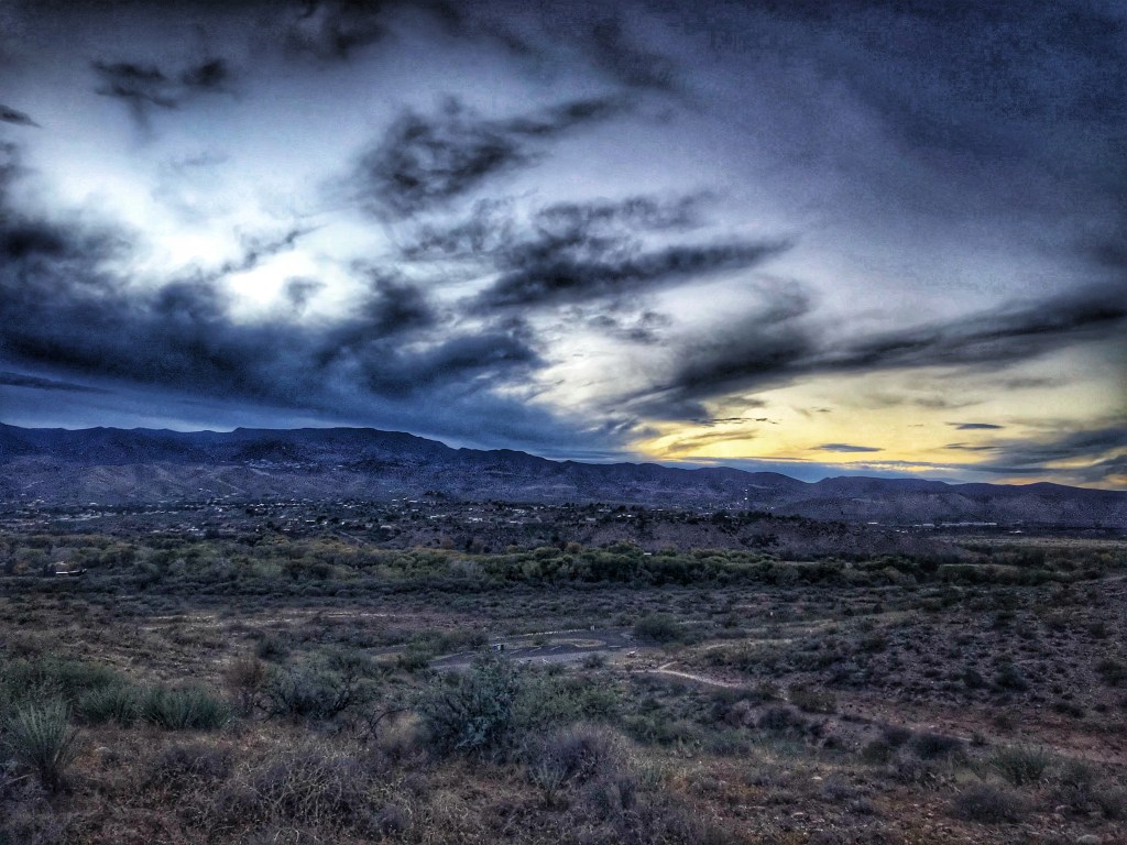
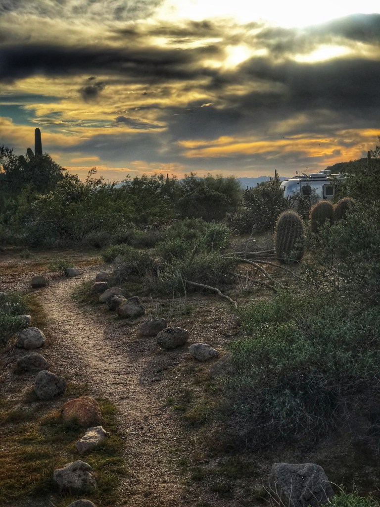
While it was cloudy and rainy on our last day we did get to experience a lot of sunny days with amazing sunrises and sunsets.